Elevation of Curtin, WV, USA
Location: United States > West Virginia > Nicholas County > Kentucky >
Longitude: -80.636479
Latitude: 38.2853896
Elevation: 585m / 1919feet
Barometric Pressure: 94KPa
Elevation Map:
Satellite Map:
Related Photos:

Forever Flowing

Rudolph Falls

Cranberry River

Flowing Down the Cranberry

New Year's Day on the Cranberry River

Rudolph Falls

cranberry colors

Walking Through the Woods

Cranberry Rapids

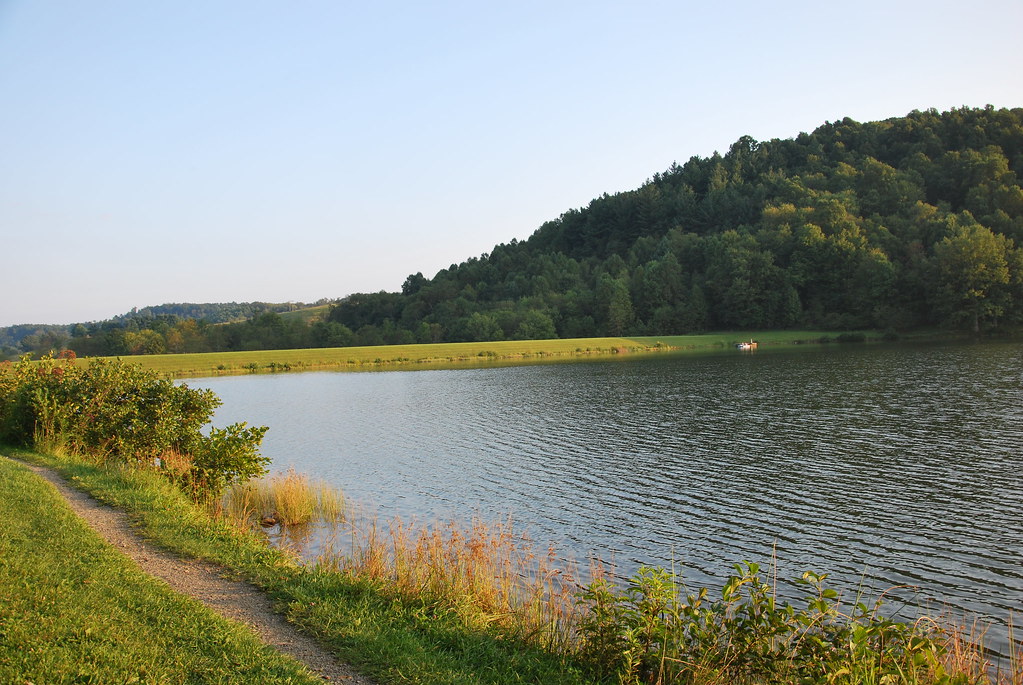
A Small Lake

autumnal cranberry

Clear Water
Big Ditch Lake

Big Ditch Lake

Richwood Falls

Richwood Falls

Richwood Falls

Richwood Falls

Richwood Falls

Creek 2

photo (3)
Topographic Map of Curtin, WV, USA
Find elevation by address:

Places near Curtin, WV, USA:
Crupperneck Road
1357 Airport Rd
Craigsville
92 Cemco Rd
16312 W Webstrer Rd
Beaver
Allingdale
Fenwick
Nettie
Fernbush Drive
Kentucky
Camden-on-gauley
Webster Rd, Summersville, WV, USA
Calvin
Grassy Ck Rd, Fenwick, WV, USA
Richwood
East Main Street
800 John Goff Rd
80 E Walnut St
800 John Goff Rd
Recent Searches:
- Elevation of Kambingan Sa Pansol Atbp., Purok 7 Pansol, Candaba, Pampanga, Philippines
- Elevation of Pinewood Dr, New Bern, NC, USA
- Elevation of Mountain View, CA, USA
- Elevation of Foligno, Province of Perugia, Italy
- Elevation of Blauwestad, Netherlands
- Elevation of Bella Terra Blvd, Estero, FL, USA
- Elevation of Estates Loop, Priest River, ID, USA
- Elevation of Woodland Oak Pl, Thousand Oaks, CA, USA
- Elevation of Brownsdale Rd, Renfrew, PA, USA
- Elevation of Corcoran Ln, Suffolk, VA, USA