Elevation of Culbreth Rd, Fayetteville, NC, USA
Location: United States > North Carolina > Cumberland County > Cedar Creek > Cape Fear >
Longitude: -78.758032
Latitude: 34.968724
Elevation: 38m / 125feet
Barometric Pressure: 101KPa
Elevation Map:
Satellite Map:
Related Photos:
20140112-DSC_2206

JDP-20110430-92.jpg

20140112-DSC_2200
20150517-DSC_6686
20140112-DSC_2197

AR 405 Fayetteville NC 11 Apr 2016 02
20140112-DSC_2207
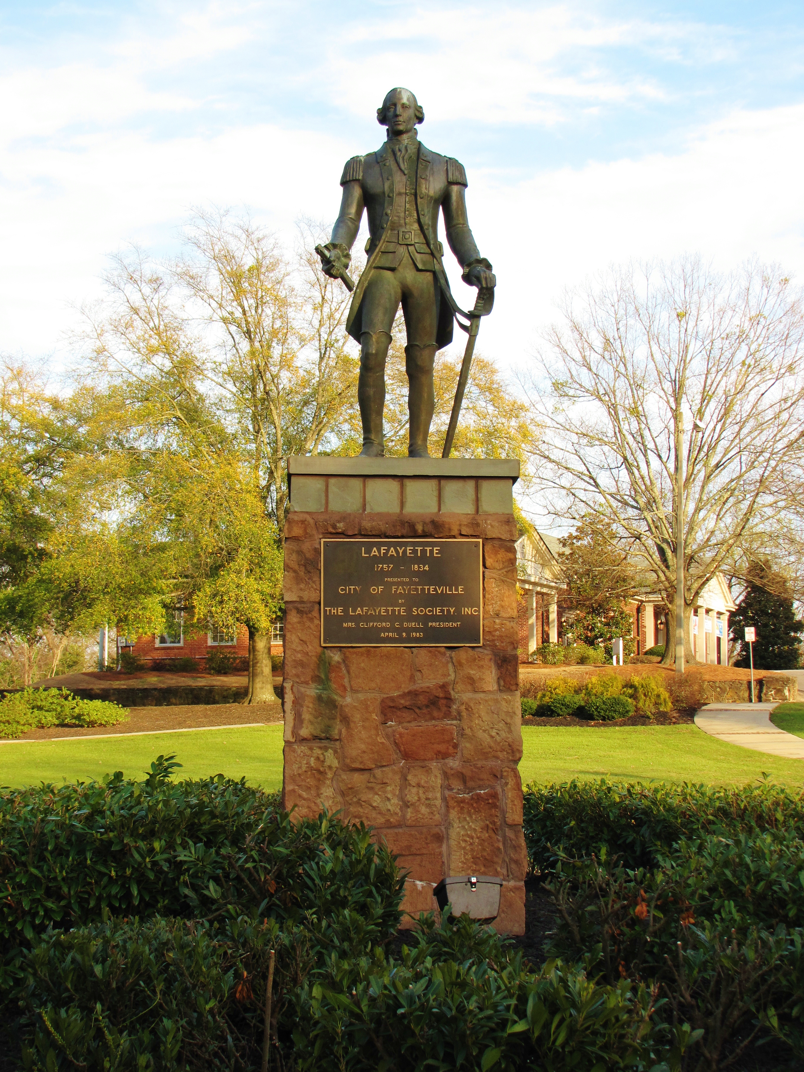
Lafayette's Statue

Beautiful spots while walking at Arnette Park.
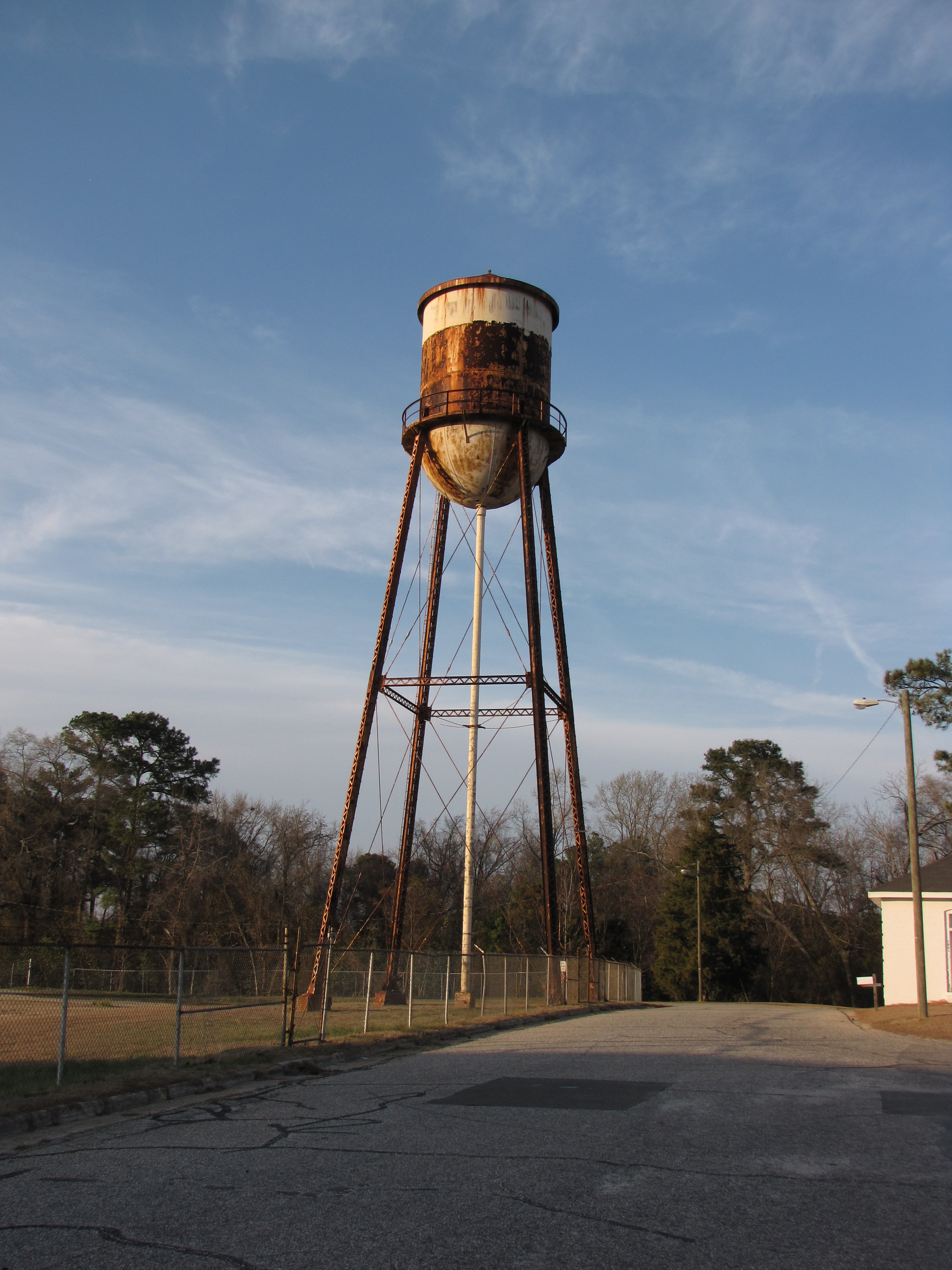
Rusty Water Tower in Massey Hill

20140112-DSC_2213

Beautiful spots while walking at Arnette Park.
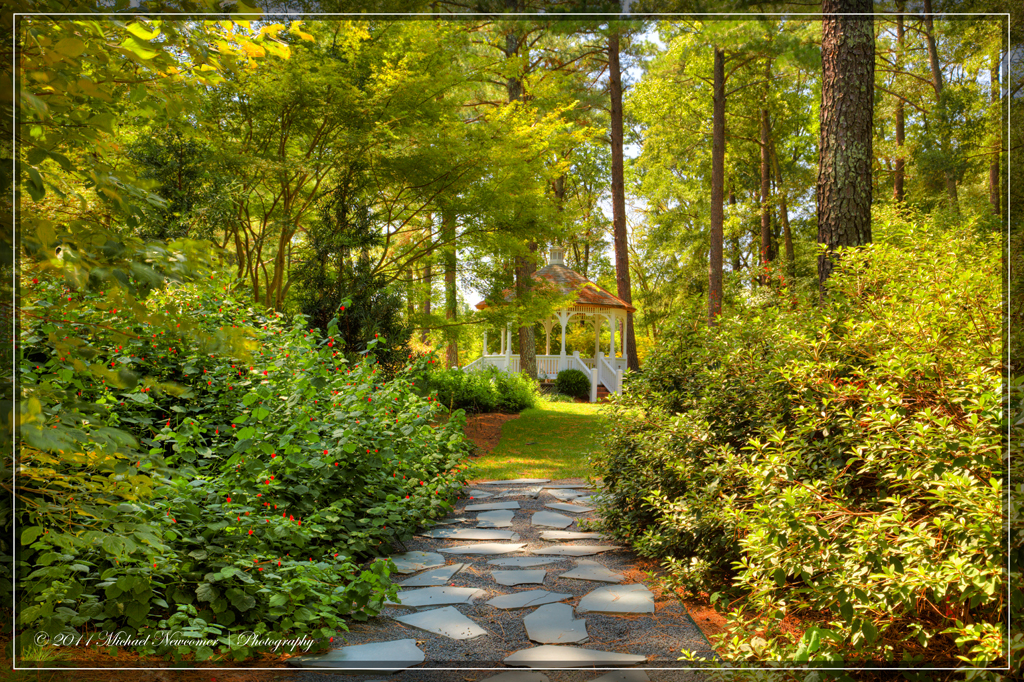
Cape Fear Gazebo
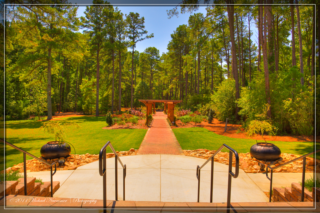
Cape Fear Real Lawn & Path

Cape Fear Fountain

Fence Top

Beautiful spots while walking at Arnette Park.
20140112-DSC_2180

20140112-DSC_2174
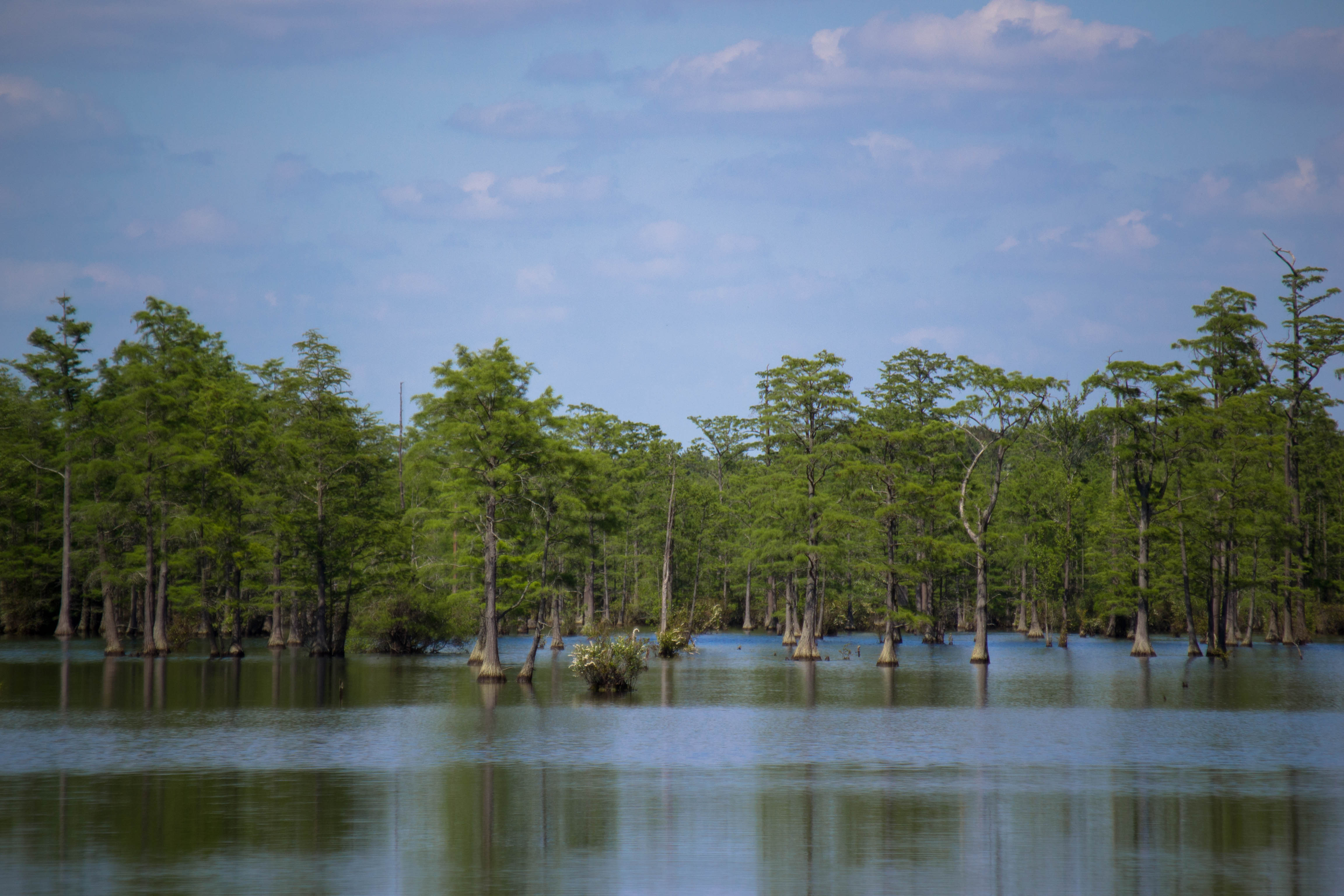
South River
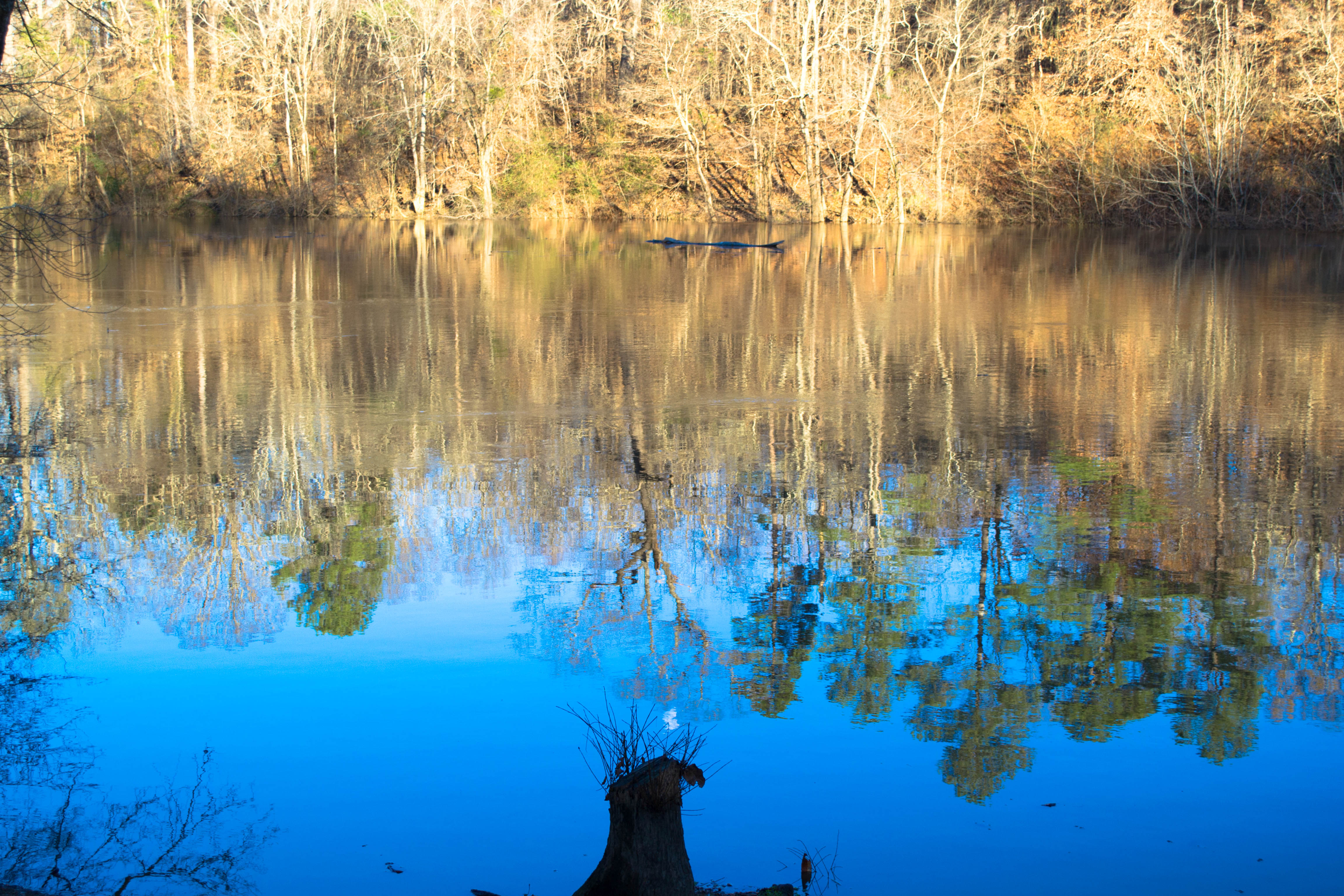
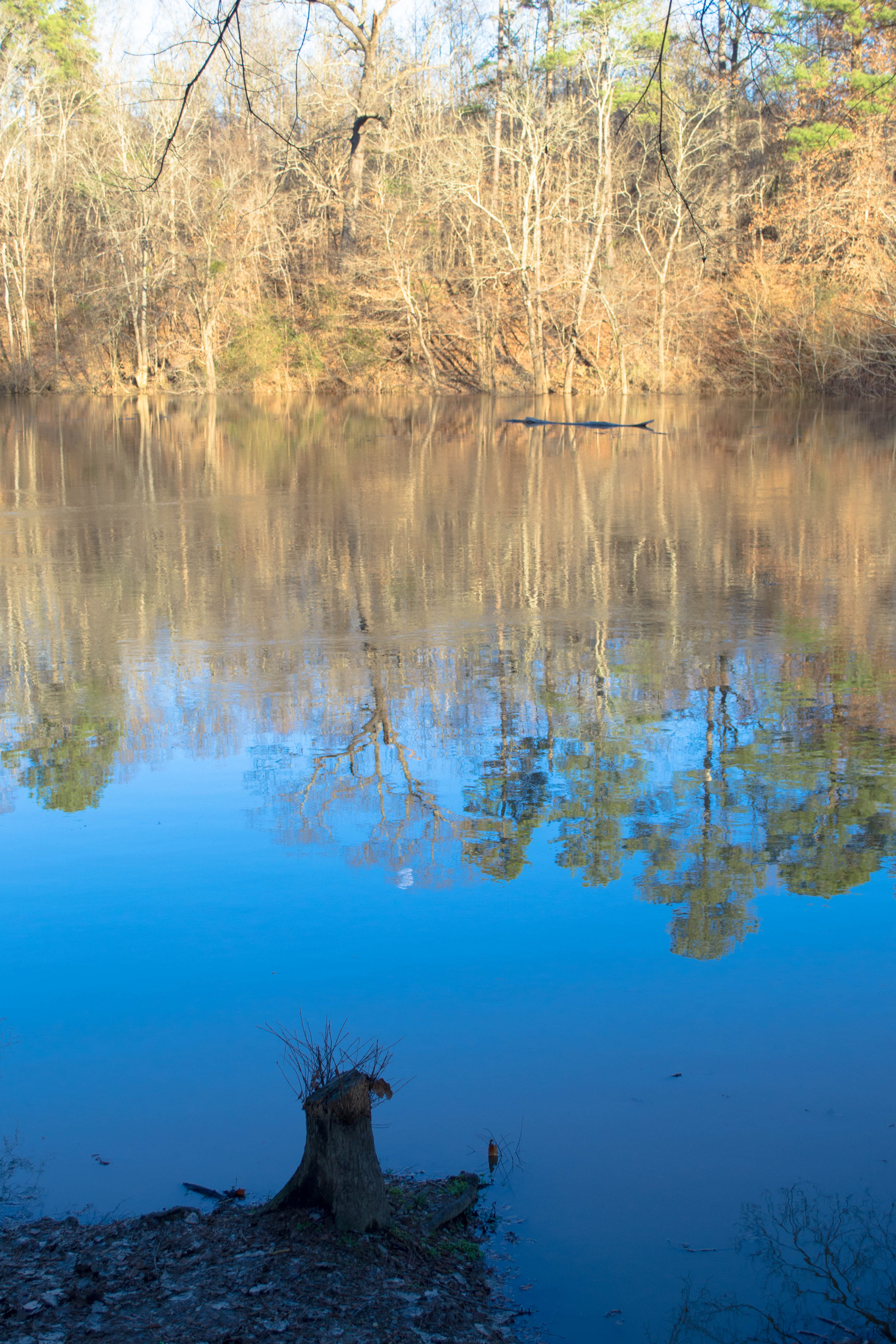
Cape Fear Pond
Topographic Map of Culbreth Rd, Fayetteville, NC, USA
Find elevation by address:

Places near Culbreth Rd, Fayetteville, NC, USA:
2470 Culbreth Rd
4455 Cedar Creek Rd
Cedar Creek
5310 Cedar Creek Rd
3501 Cedar Hill Dr
3526 Sunny Dale Dr
Bayside Drive
2300 Bayside Dr
6021 Kingsland Dr
2841 H Clark Rd
5262 Matt Hair Rd
6309 Butler Nursery Rd
Matt Hair Road
Spanish Oak Drive
1651 Tom Starling Rd
Cogdell Rd, Fayetteville, NC, USA
4610 Pennystone Dr
7270 Matt Hair Rd
Grays Creek
Gray's Creek
Recent Searches:
- Elevation of Verde Terrace, North Port, FL, USA
- Elevation of US-, Leesburg, FL, USA
- Elevation of Summit Dr, Kerrville, TX, USA
- Elevation of Hanson Rd, Cedaredge, CO, USA
- Elevation of Maxine St NE, Albuquerque, NM, USA
- Elevation of Blattner Rd, Philo, CA, USA
- Elevation of Polzela, Slovenia
- Elevation of Gorod Kislovodsk, Stavropol Krai, Russia
- Elevation of Kislovodsk, Stavropol Krai, Russia
- Elevation of Eagle Stone Drive, Eagle Stone Dr, The Preserve at Corkscrew, FL, USA