Elevation of Cuesta Del Sol, Lakeside, CA, USA
Location: United States > California > San Diego County > Lakeside >
Longitude: -116.89531
Latitude: 32.8477982
Elevation: 204m / 669feet
Barometric Pressure: 99KPa
Elevation Map:
Satellite Map:
Related Photos:

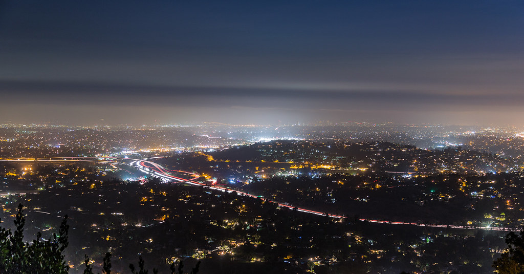
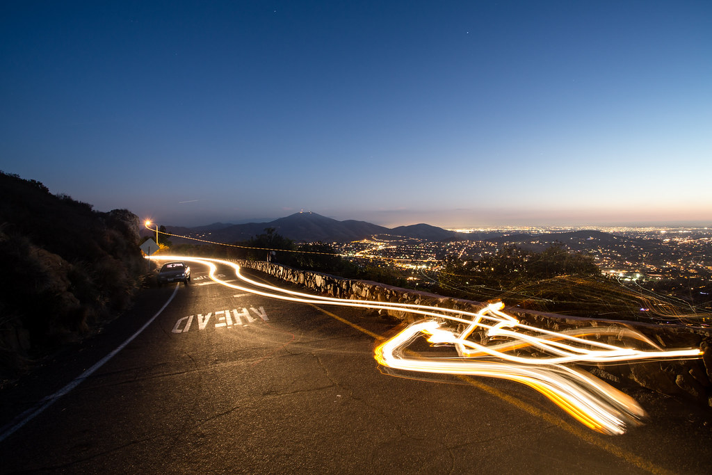
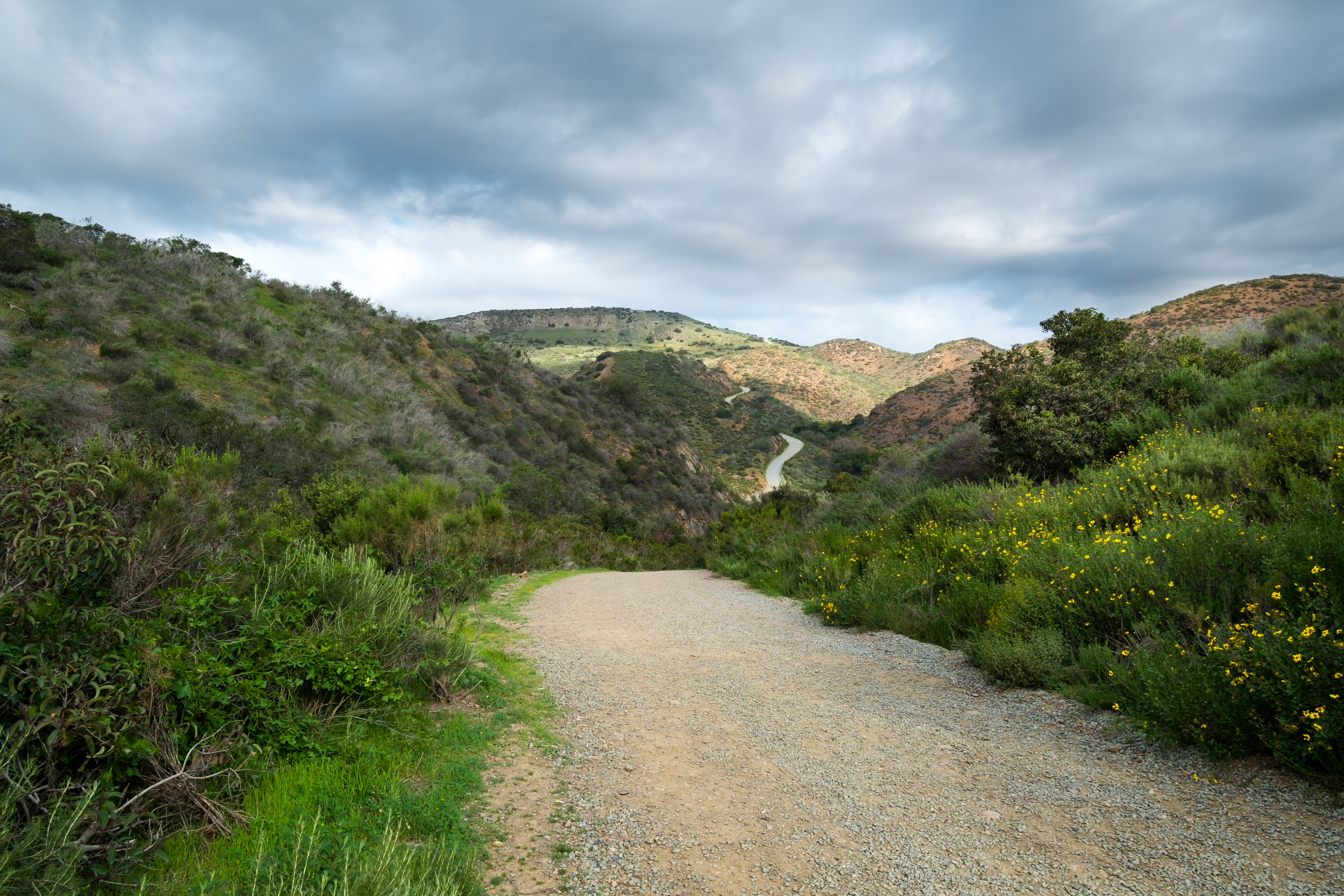
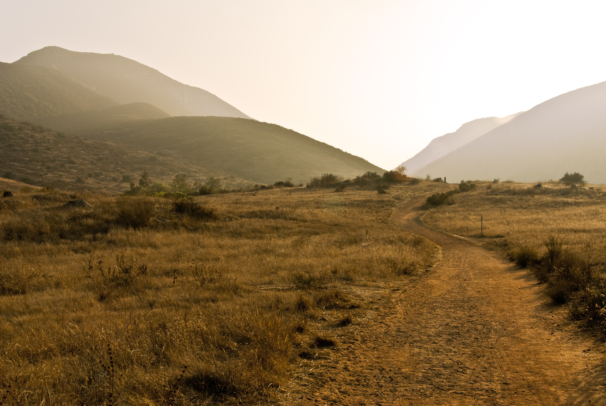
Trail or Traffic

Mega Cloud

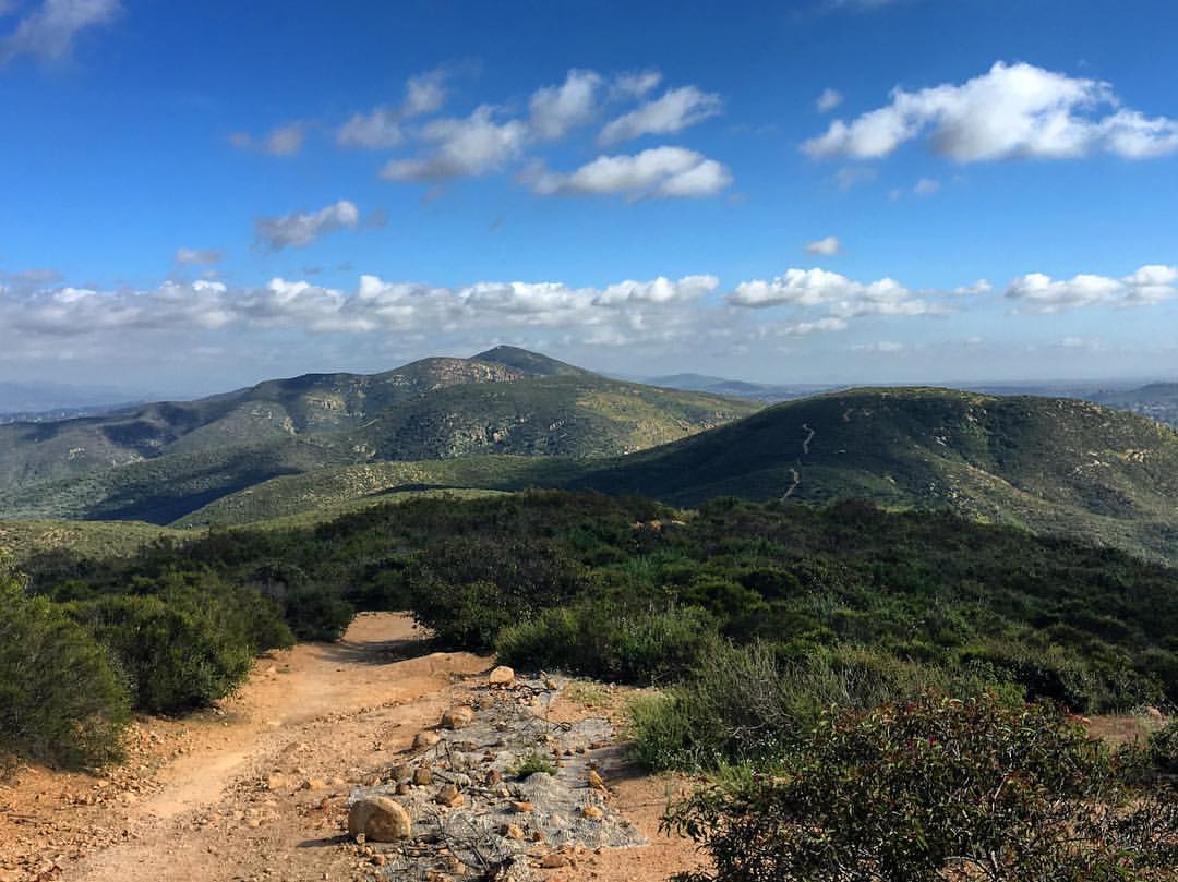
Mount Fortuna Summit

Mulberry Leaf Patterns

Color and Textures

1929 Ford 4-AT-E Trimotor
Hazy evening in San Diego

1929 Ford 4-AT-E Trimotor
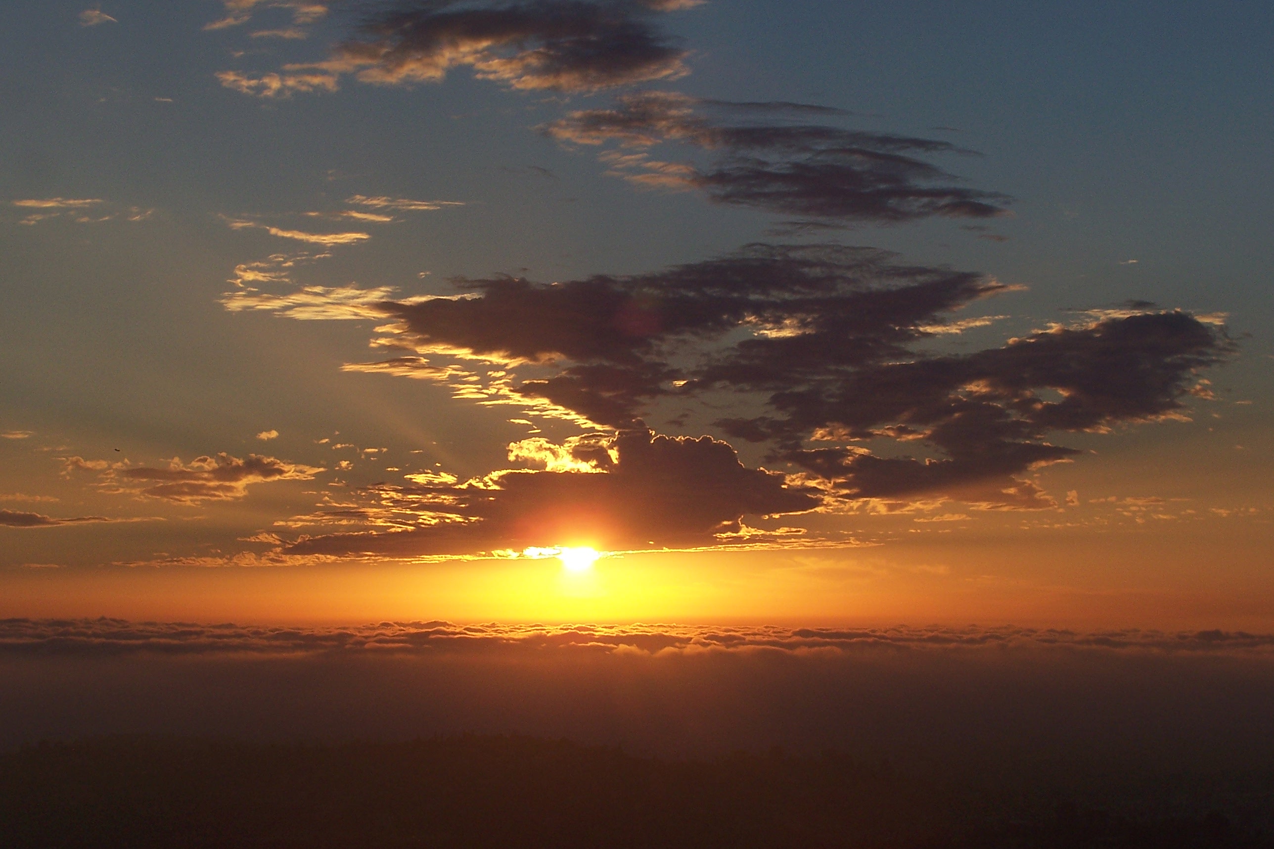
Sunset over San Diego

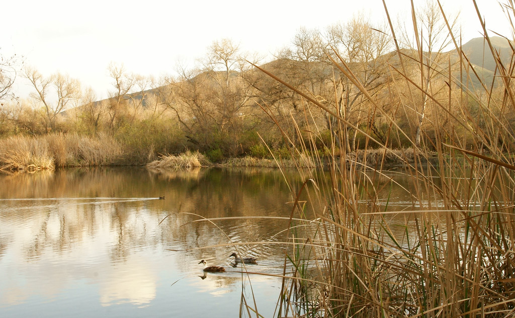
View From The Shore Line At Lindo Lake
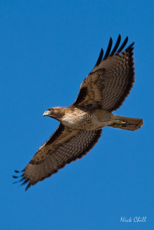
Red-Tailed Flight

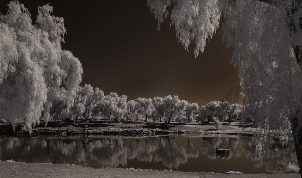
Santee Lakes on the Winter Solstice With Sun Flare - Infrared
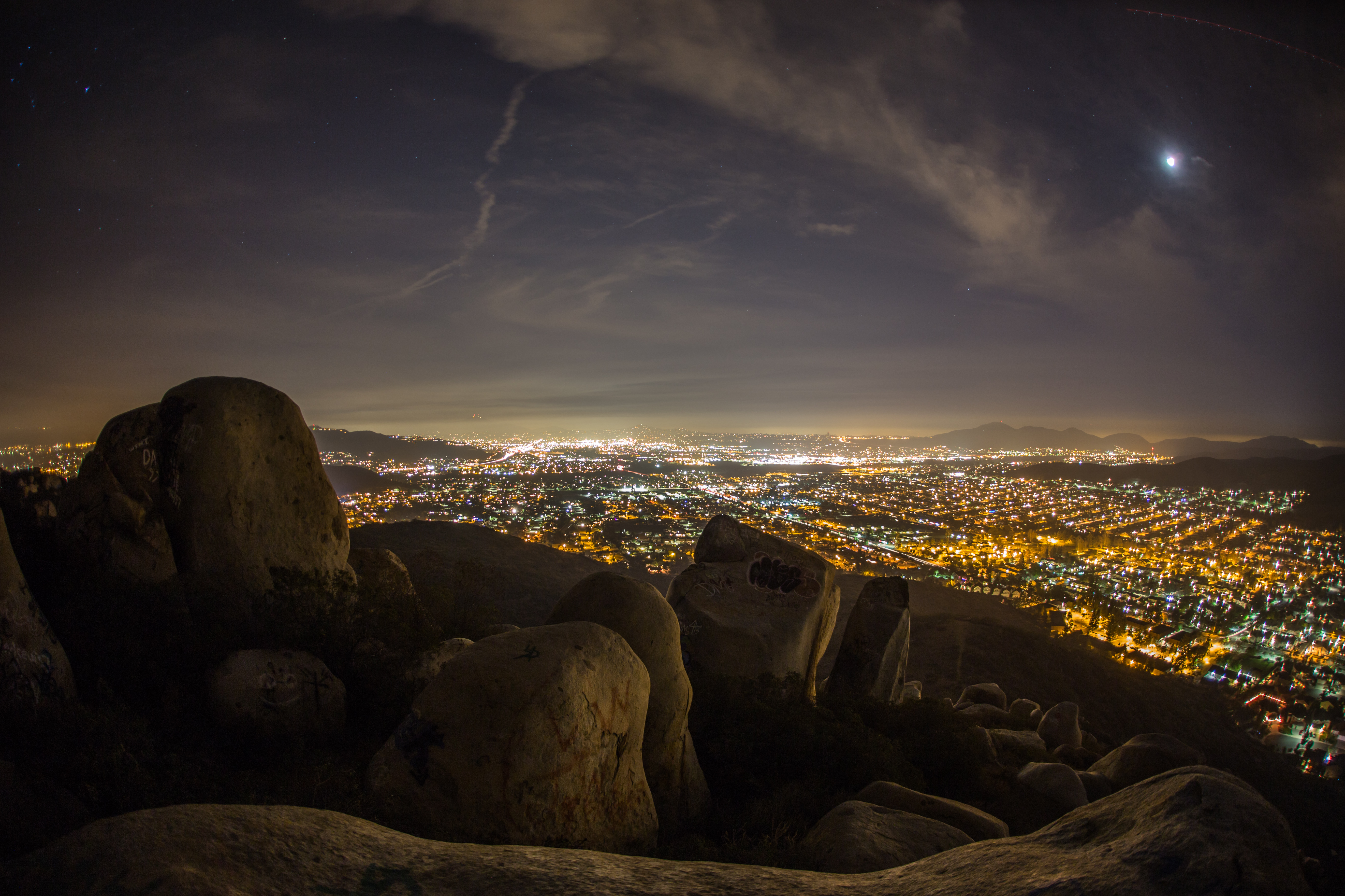
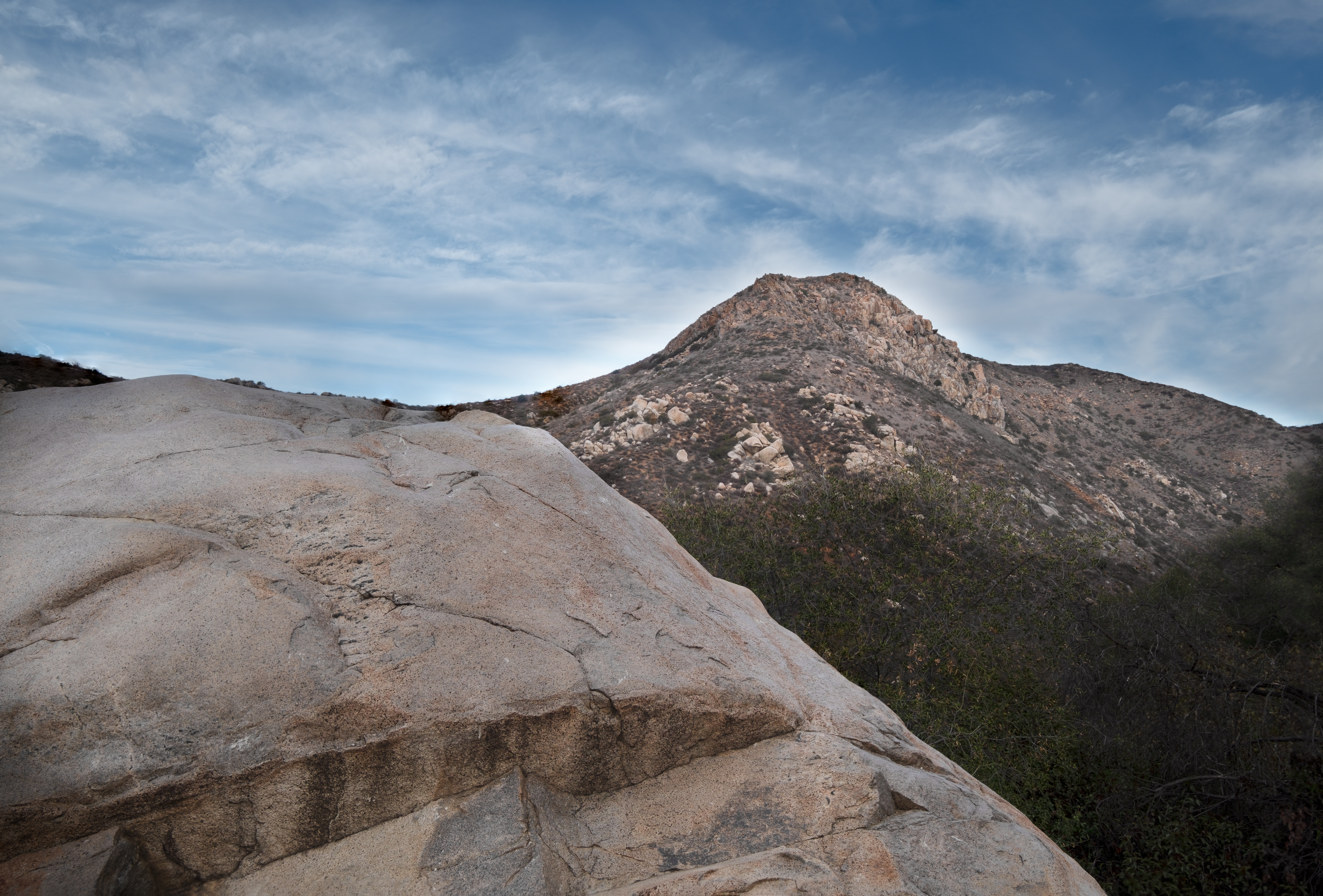
Rocks atop a mountain at night.
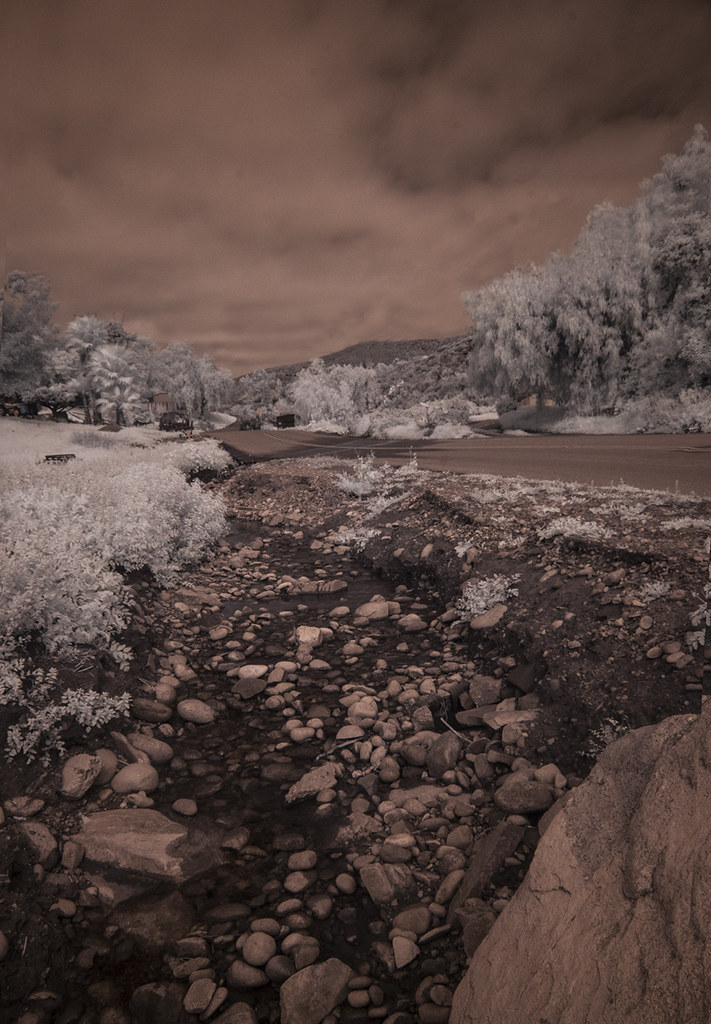
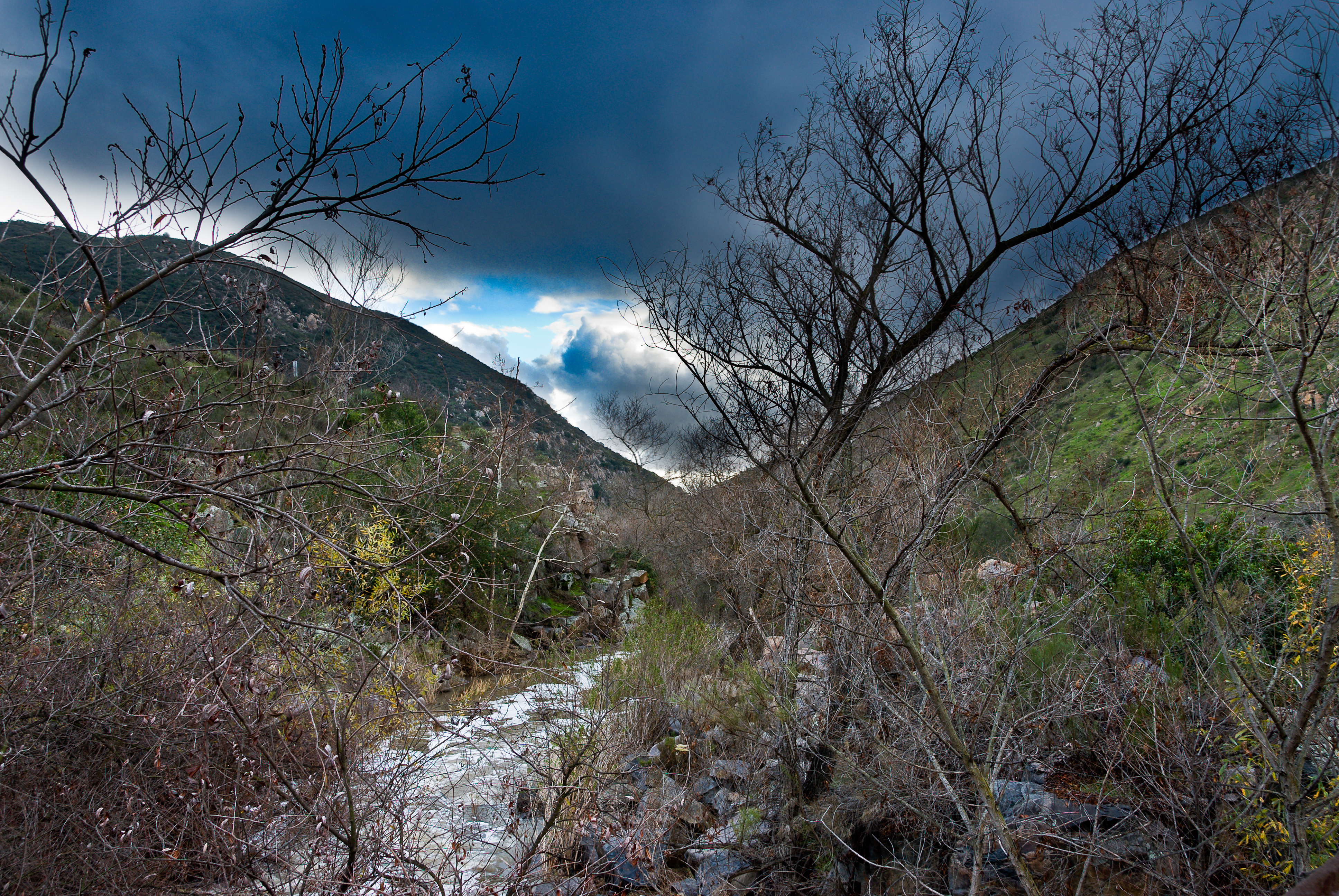
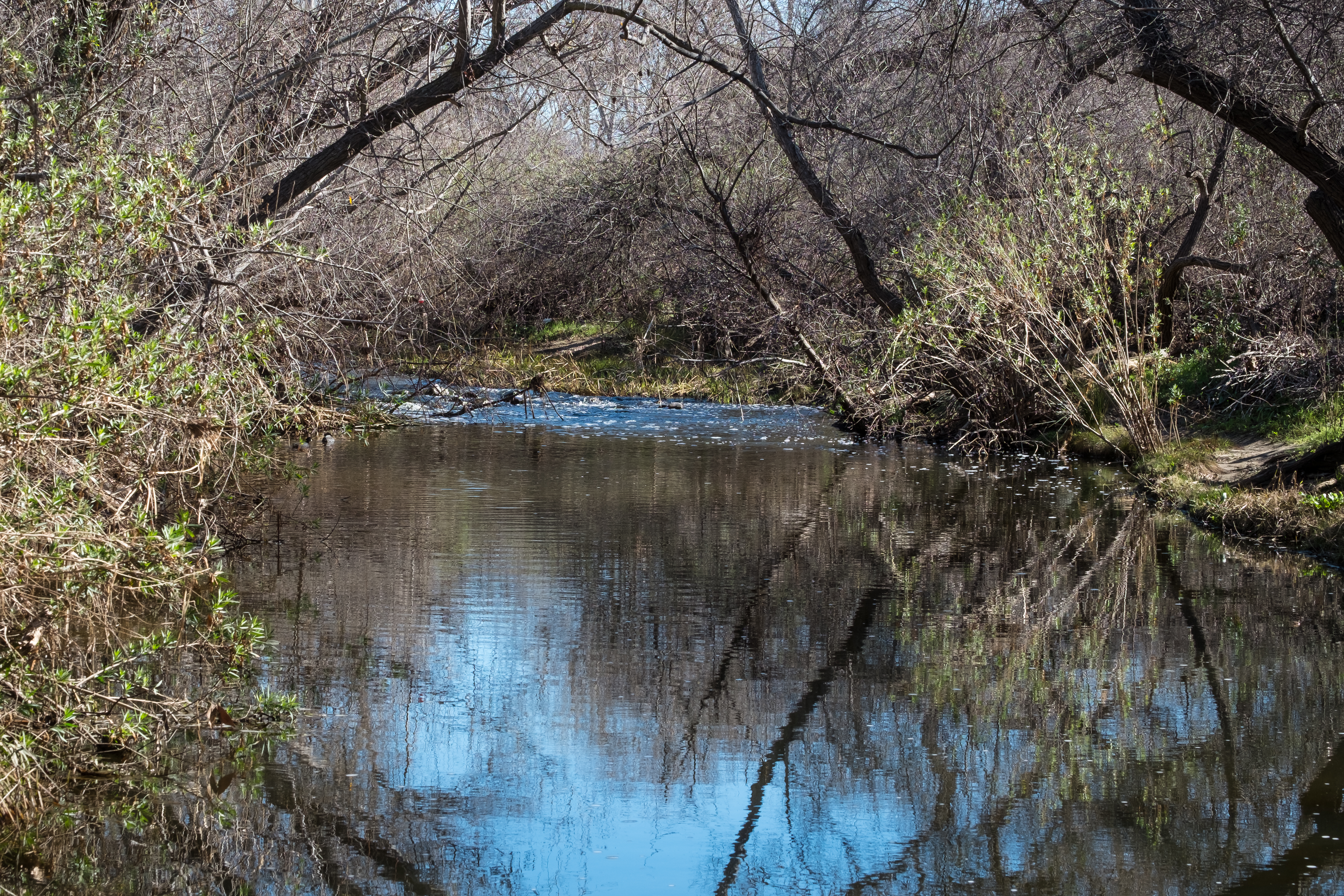
Oak Creek Running Across Oak Creek Drive IR
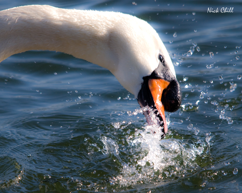
Mute Swan Splash
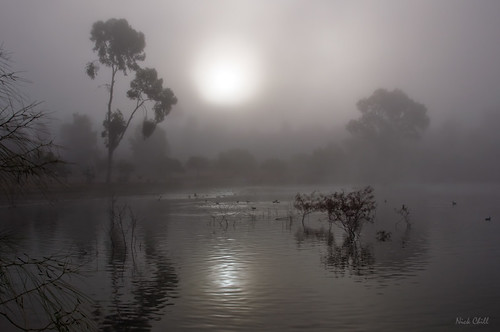
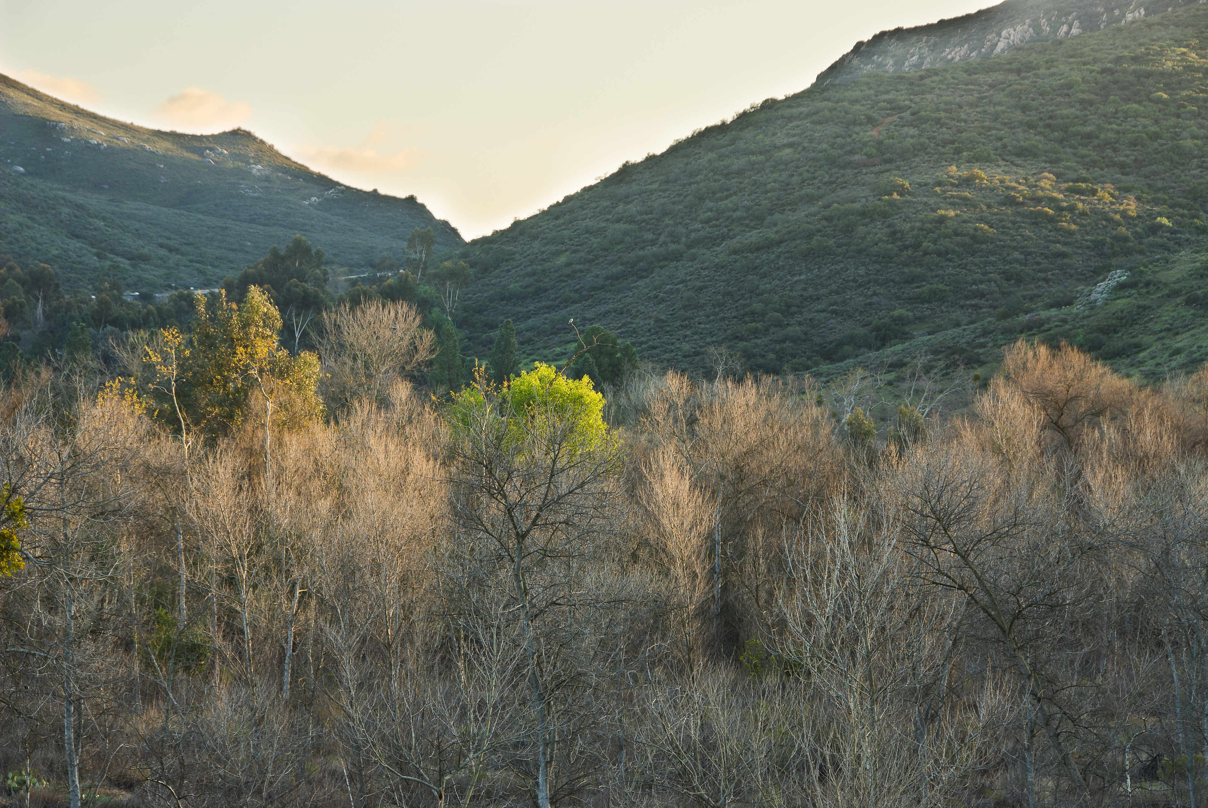
Morning Fog

Another view from the top of the mountain.
Lake Jennings

Cowles Sunrise
Another panoramic view from atop Blue Rock in Santee
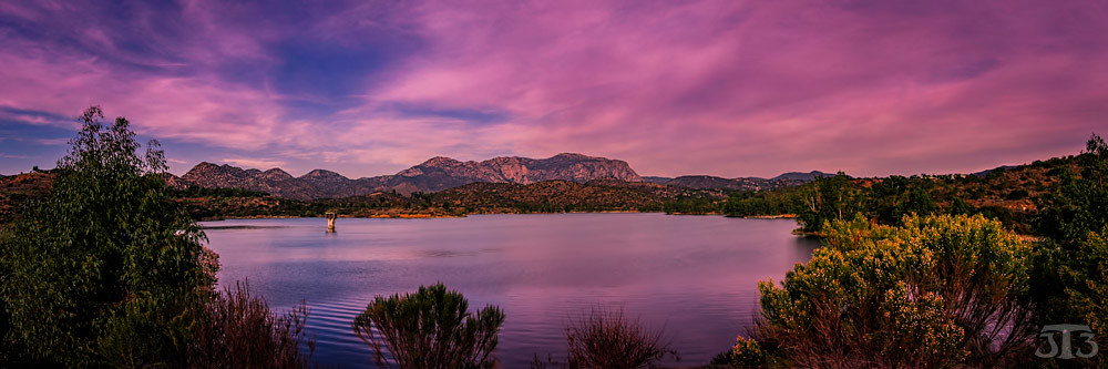
Panoramic view of Santee at sunset.
Over San Diego

Lindo Lake - The Temp - Explored
Over San Diego

PEDB20170404-055.jpg
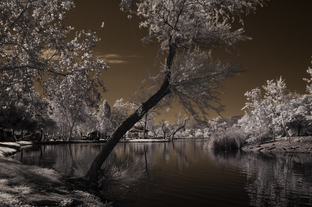
Lindo Lake Framed By Pepper Trees
No Slowing Down

Otay Sweetwater Refuge
Tree Reflections At Santee Lakes
PEDB20181204-032-Edit
Visitor Center Loop Trail - Mission Trails Park
PEDB20090217-023-Edit.jpg
Visitor Center Loop Trail - Mission Trails Park
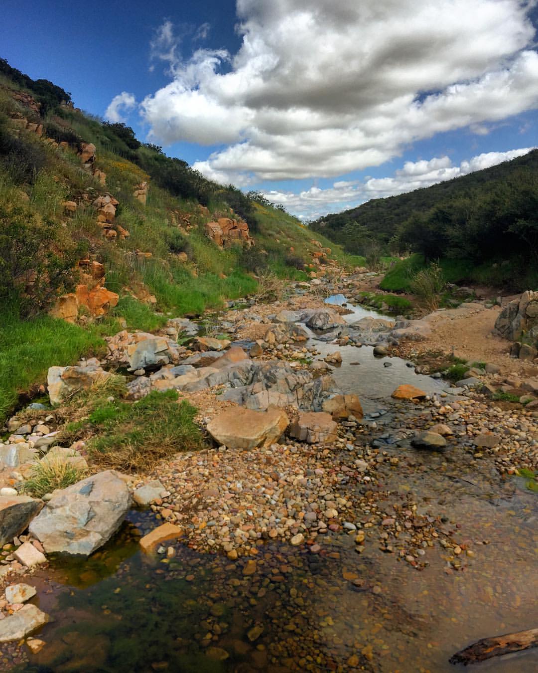
Water along Oak Canyon.
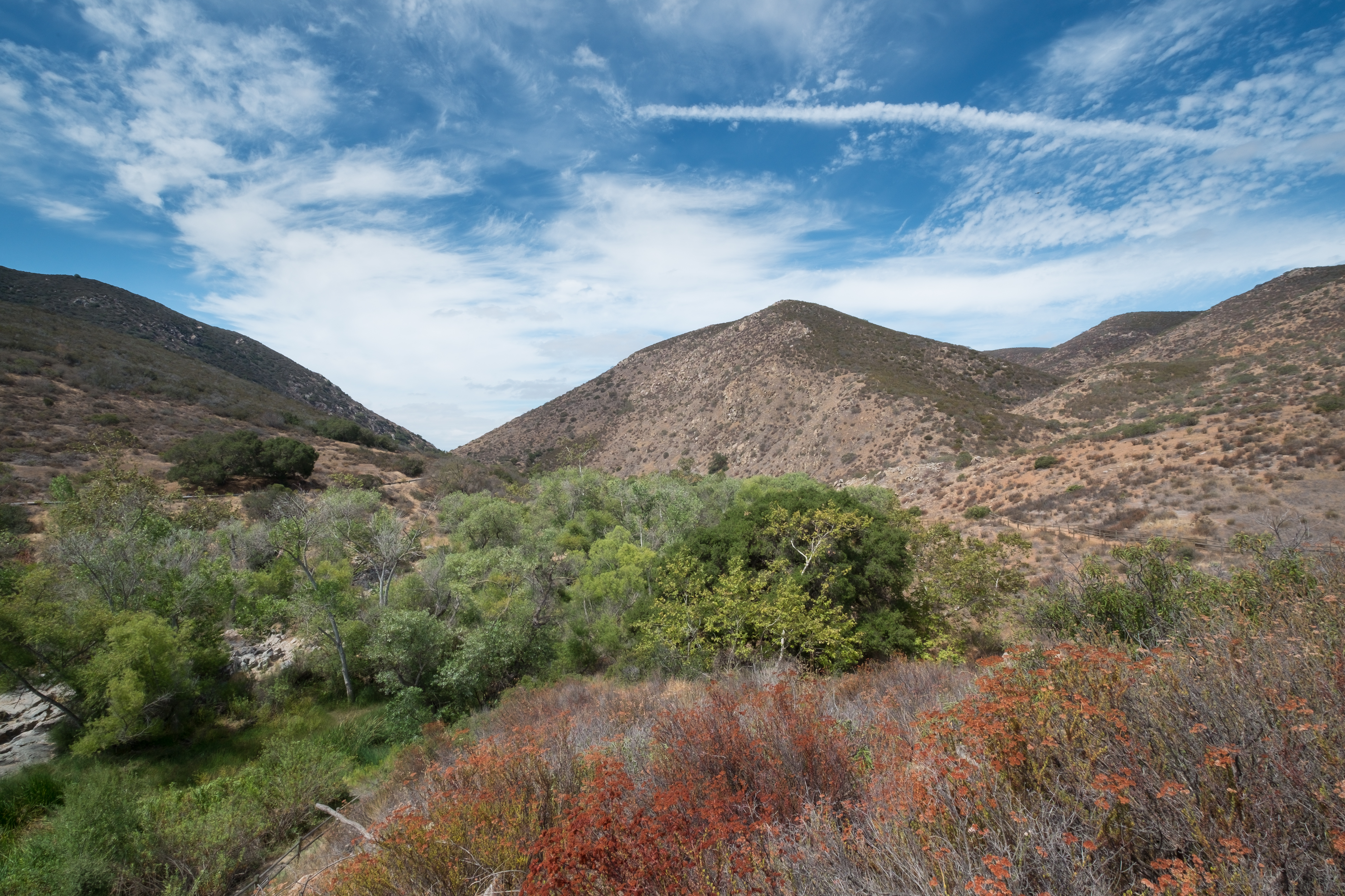
Oak Canyon Trail - Mission Trails Park
PEDB20071102-013-Edit-Edit.jpg
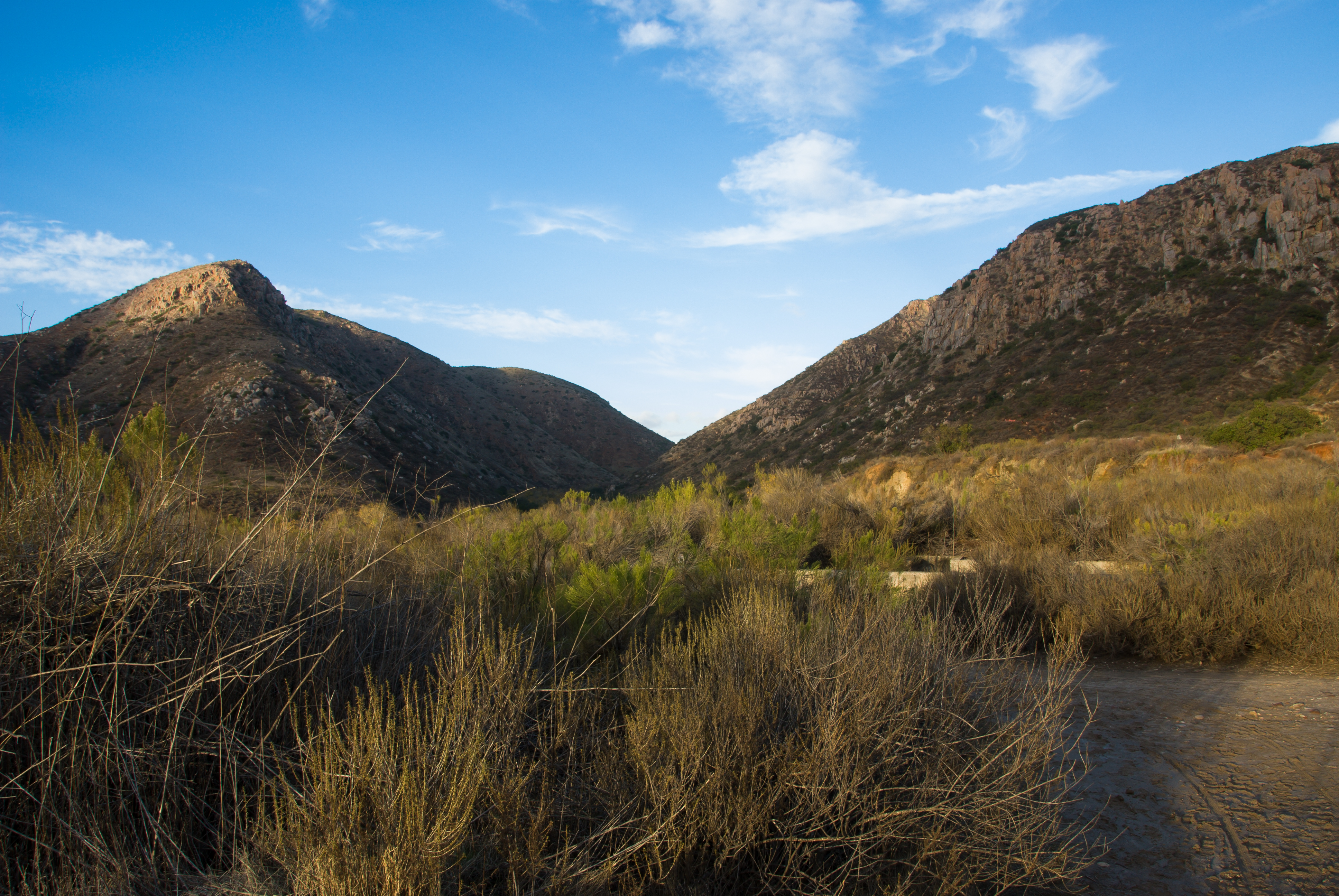
There are more mountains in our future.

PEDB20090217-010-Edit.jpg
Kumeyaay Lake in Mission Trails

PEDB20150714-010-HDR.jpg
Oak Canyon Trail - Mission Trails Park
Oak Canyon Trail - Mission Trails Park
Topographic Map of Cuesta Del Sol, Lakeside, CA, USA
Find elevation by address:

Places near Cuesta Del Sol, Lakeside, CA, USA:
Harritt Road
8460 Hawick Terrace
14215 Pecan Park Ln
El Monte Road
9369 Quail Canyon Rd
9688 Los Coches Rd
Lakeside
12690 Jackson Hill Dr
Quail Valley Way, El Cajon, CA, USA
12217 Vista Del Cajon Rd
La Cresta Heights Road
8455 Winter Gardens Blvd
Granite Hills
376 Sunnybrook Ln
Valley Rim Rd, El Cajon, CA, USA
La Cresta Boulevard
486 Alta Ln
10215 Vista Camino
Lakeside Ave, Lakeside, CA, USA
Crest
Recent Searches:
- Elevation of Congressional Dr, Stevensville, MD, USA
- Elevation of Bellview Rd, McLean, VA, USA
- Elevation of Stage Island Rd, Chatham, MA, USA
- Elevation of Shibuya Scramble Crossing, 21 Udagawacho, Shibuya City, Tokyo -, Japan
- Elevation of Jadagoniai, Kaunas District Municipality, Lithuania
- Elevation of Pagonija rock, Kranto 7-oji g. 8"N, Kaunas, Lithuania
- Elevation of Co Rd 87, Jamestown, CO, USA
- Elevation of Tenjo, Cundinamarca, Colombia
- Elevation of Côte-des-Neiges, Montreal, QC H4A 3J6, Canada
- Elevation of Bobcat Dr, Helena, MT, USA