Elevation of Cuatro Palos, Hgo., Mexico
Location: Mexico > Hidalgo > Singuilucan >
Longitude: -98.496032
Latitude: 20.019277
Elevation: 2540m / 8333feet
Barometric Pressure: 74KPa
Elevation Map:
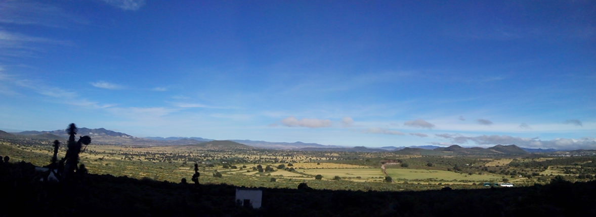
Satellite Map:
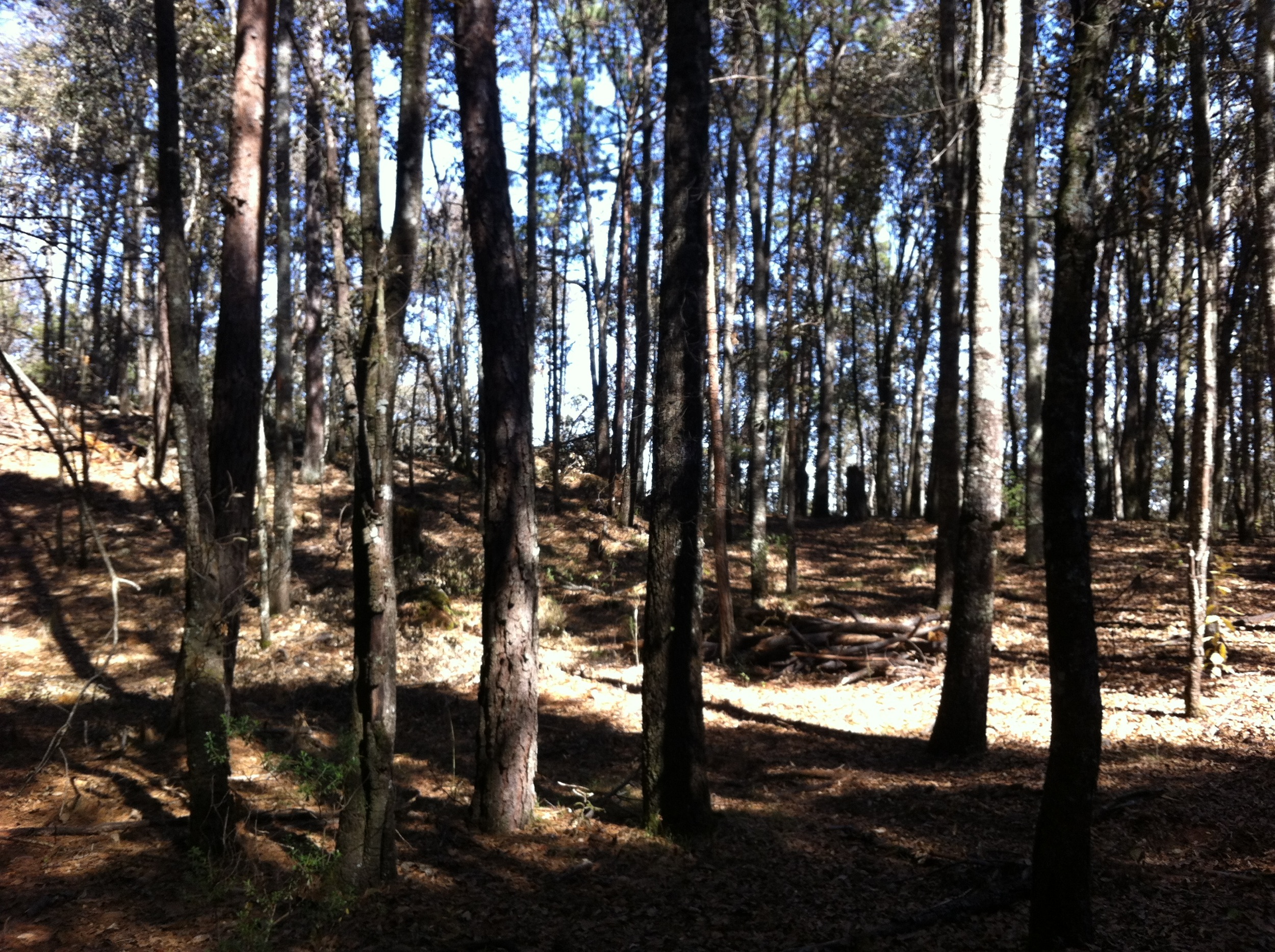
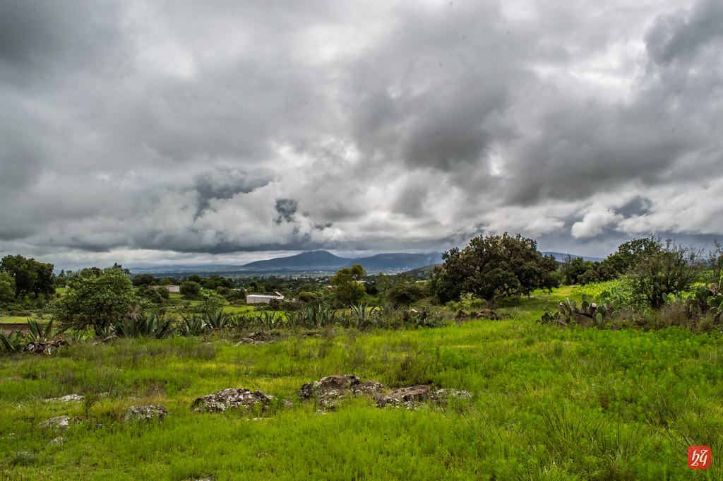
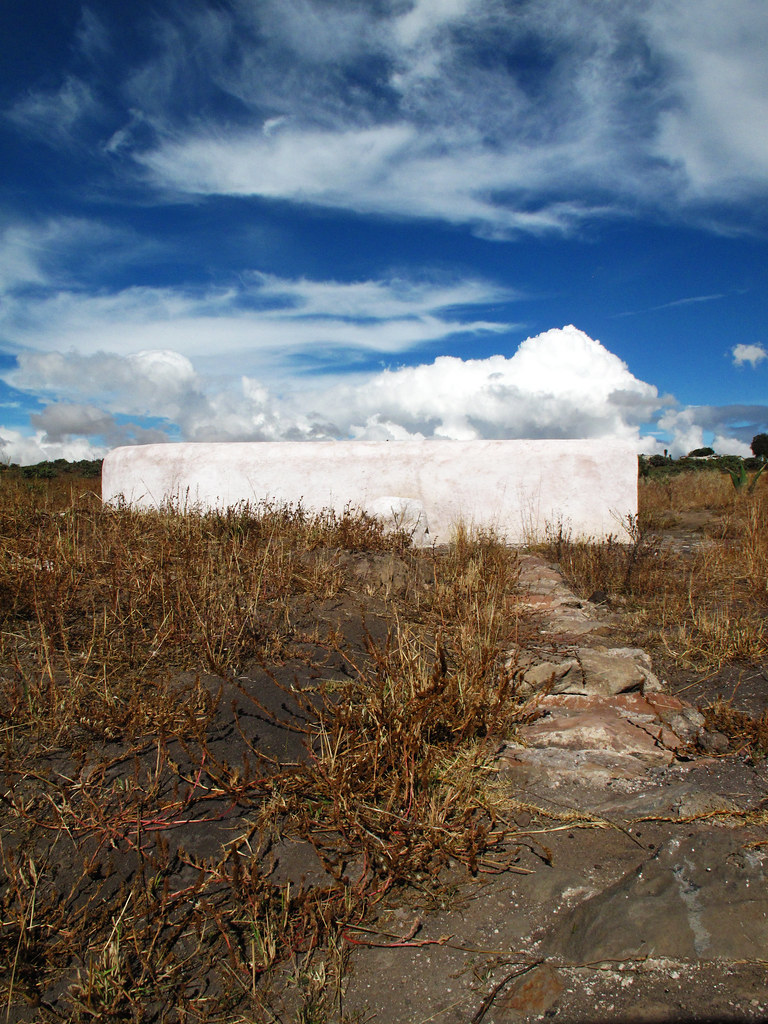
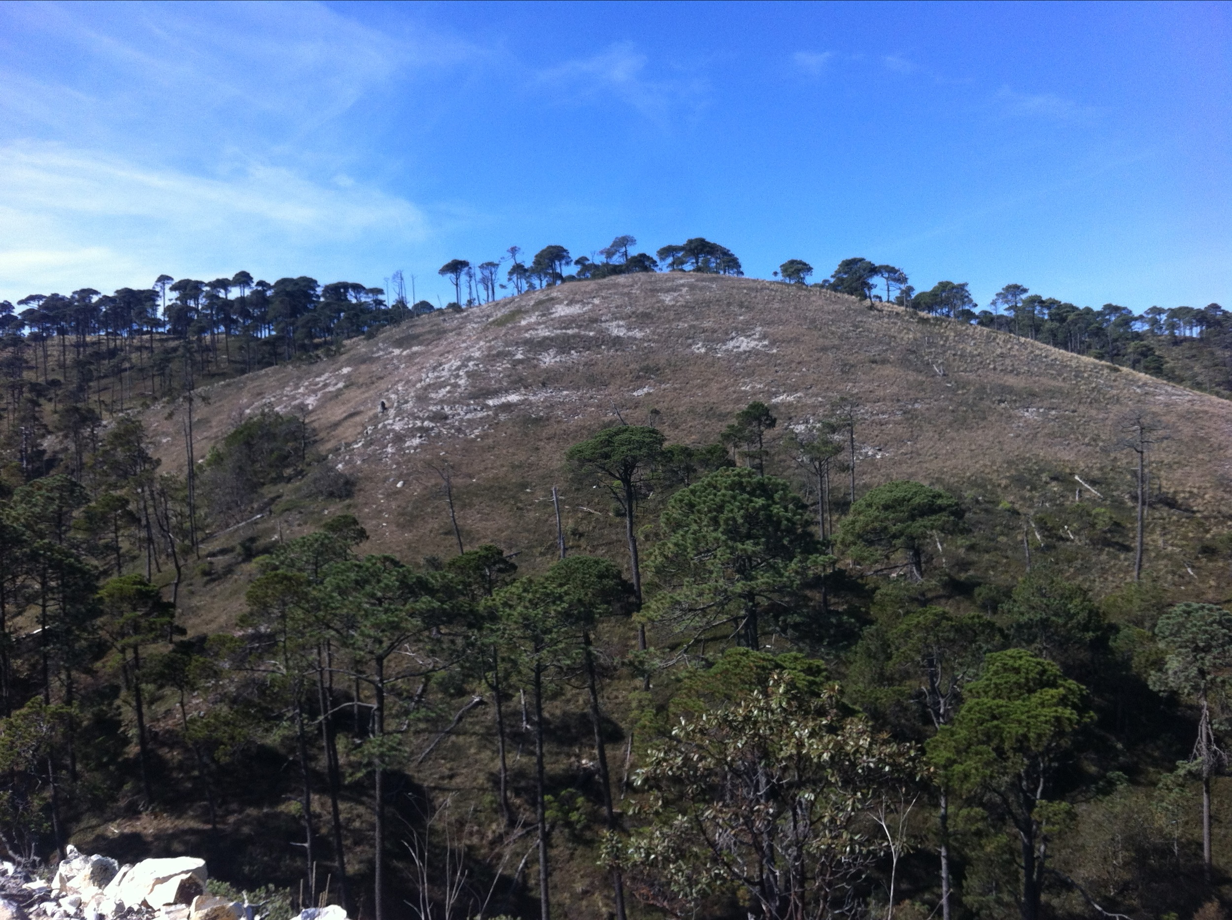
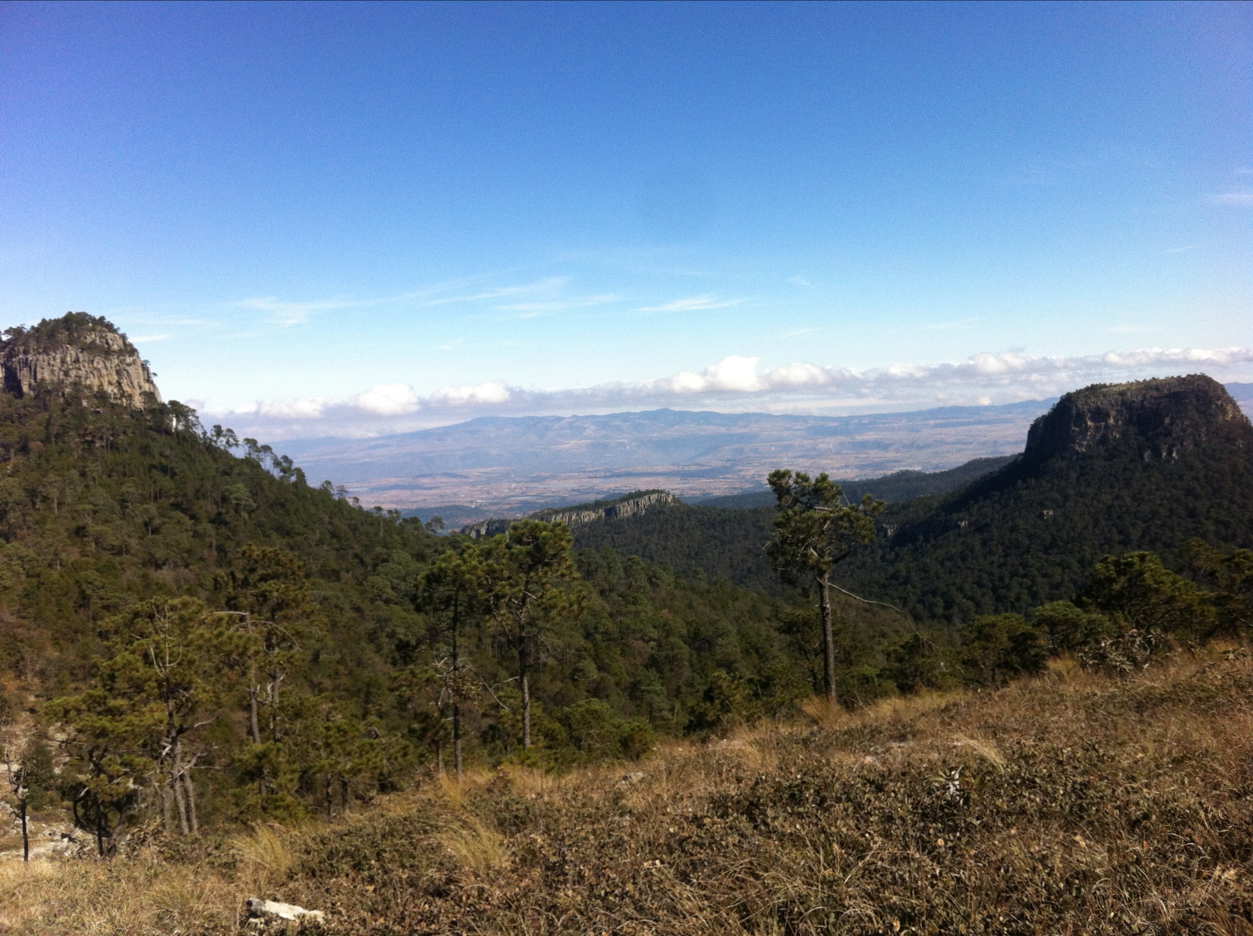
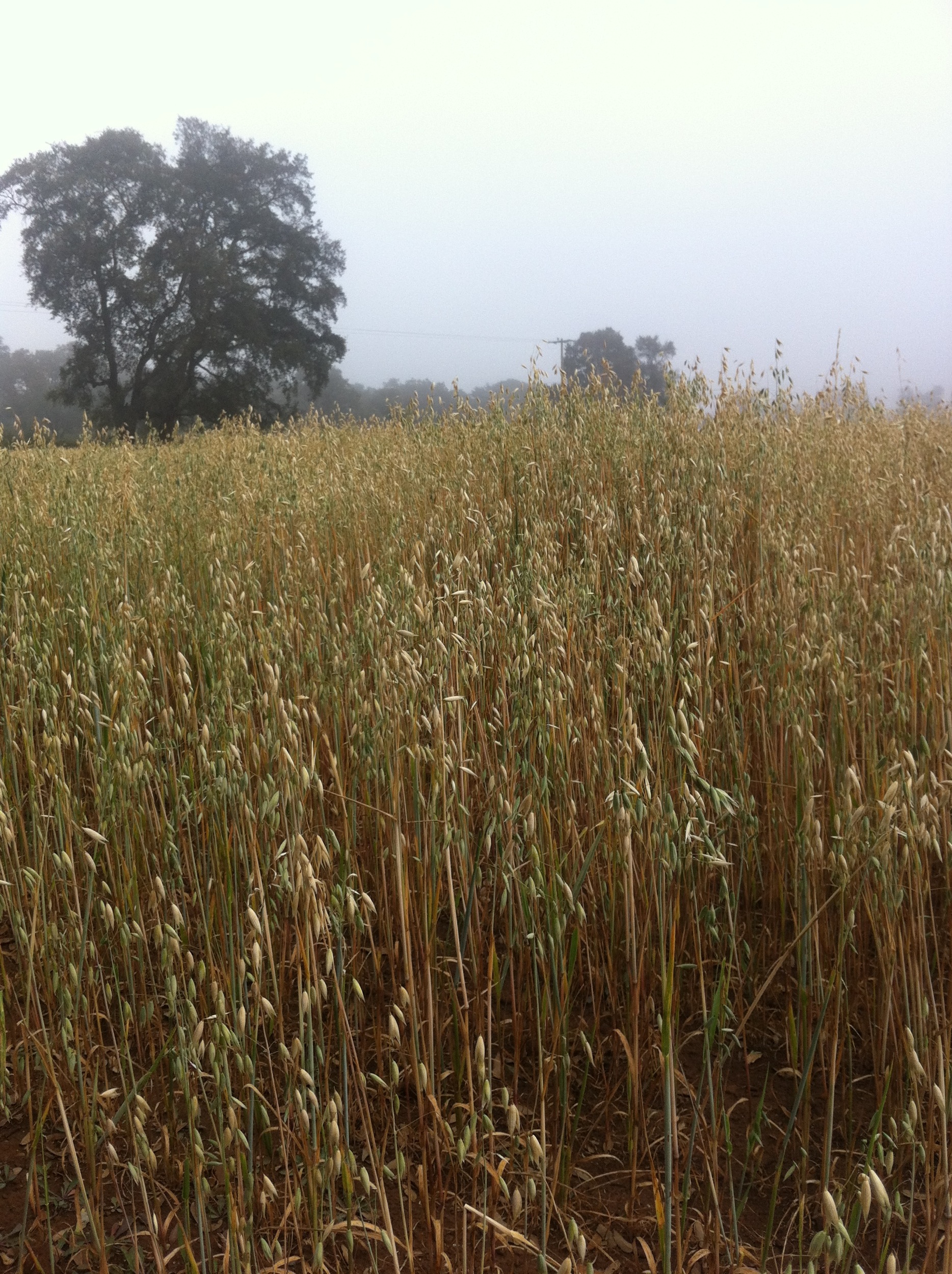
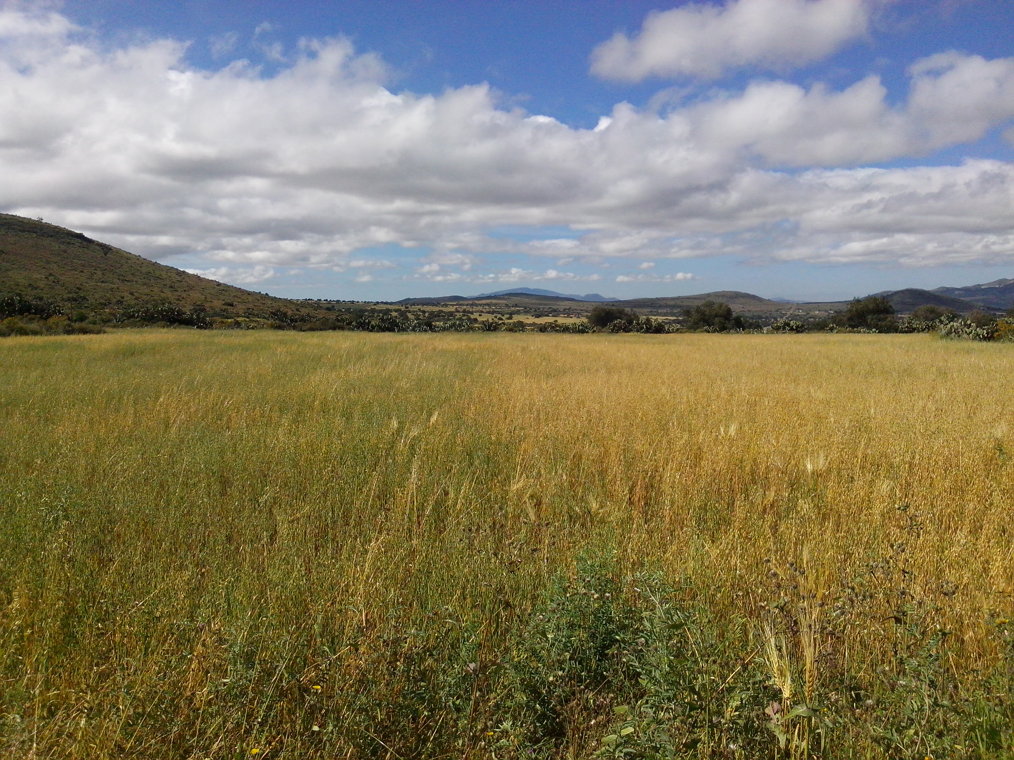
Related Photos:
Carrete-8
San Dionicio
Manantial y su canal

Carrete-7

Carrete-4

Carrete-5
Carrete-3
Carrete-4
Carrete-10

Guajolote/Huasca-6
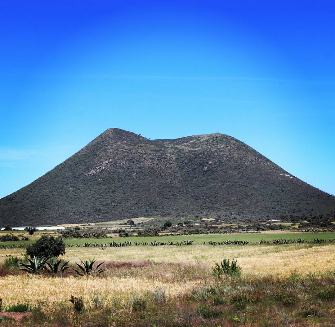
Parque Estatal Cerro El Tecajete #cerroeltecajete #tecajete #hidalgo #canon
Simple, Perfecto
Tecajete, Hidalgo
Topographic Map of Cuatro Palos, Hgo., Mexico
Find elevation by address:

Places near Cuatro Palos, Hgo., Mexico:
Singuilucan
Acatlán
Huasca De Ocampo
Huasca De Ocampo
Cabañas San Isidro
A Rufina 41, Purero, Mineral del Monte, Hgo., Mexico
Centro
Melchor Ocampo 58, Centro, Ejido del Centro, Hgo., Mexico
Omitlán De Juárez
Basaltic Prisms Of Santa María Regla
Hacienda Santa María Regla
Río De La Soledad
Tepeapulco
Real De Monte
Centro
Carr Pachuca-Estanzuela 35, Hidalgo, Mexico
Av Vicente Guerrero, El Venado, Pachuca de Soto, Hgo., Mexico
Pachuca
Hidalgo
HGO 48, Tepeapulco, Hgo., Mexico
Recent Searches:
- Elevation of 3 Nestling Wood Dr, Long Valley, NJ, USA
- Elevation of Ilungu, Tanzania
- Elevation of Yellow Springs Road, Yellow Springs Rd, Chester Springs, PA, USA
- Elevation of Rēzekne Municipality, Latvia
- Elevation of Plikpūrmaļi, Vērēmi Parish, Rēzekne Municipality, LV-, Latvia
- Elevation of 2 Henschke Ct, Caboolture QLD, Australia
- Elevation of Redondo Ave, Long Beach, CA, USA
- Elevation of Sadovaya Ulitsa, 20, Rezh, Sverdlovskaya oblast', Russia
- Elevation of Ulitsa Kalinina, 79, Rezh, Sverdlovskaya oblast', Russia
- Elevation of 72-31 Metropolitan Ave, Middle Village, NY, USA