Elevation of CSI Church Kozhikanam, Idukki, Kerala, India
Location: India > Kerala > Idukki >
Longitude: 76.994002
Latitude: 9.6339128
Elevation: 1077m / 3533feet
Barometric Pressure: 89KPa
Elevation Map:
Satellite Map:
Related Photos:

K5IIs-050217-020

K5IIs-050217-001

Vagamon hills

View of valley from New Maria Restaurant at Pullupara

K5IIs-050217-019
K5IIs-050217-025

K5IIs-050217-010

K5IIs-050217-006

K5IIs-050217-003

K5IIs-050217-015

K5IIs-050217-022
K5IIs-050217-005

K5II-050217-005

K5IIs-050217-023

India - Kerala - 045 - Periyar - checking out the dam

India - Kerala - 046 - Periyar - they were making their own fun

Tea Plantation

Tea Plantations, Kerala
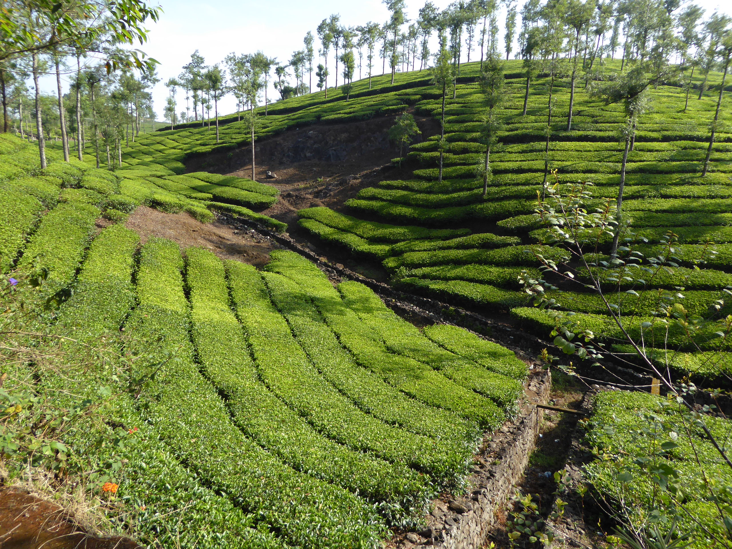
Tea Plantation

View from Panchalimedu

Earthly Human #grammasters3 Views from Parunthupara,Idukki district Kerala. #idukkidistrict #keralatourism #kerala #godsowncountry #parunthupara #india #Incredibleindia #indiatour #indiatravel #indiagram #indiaclicks #indiatourism #TripAdvisor #tri

Vagamon, Kerala, India

#magical #cotton #candy #boy #intothewoods #woods #monsoon #colors #nature #kerala
Ayyappancoil (അയ്യപ്പന്കോവിൽ) is a village in Idukki Taluk in Idukki district in the Indian state of Kerala. Ayyappancoil was a big township in early 1960s. During the construction of Idukki hydro-electric project, the township was evacuated by the Keral

Vagamon, Kerala

Common Tailorbird

A morning in Urumbikkara, Idukki

On the way to Wagamon

By Sharon

Dhobi wallahs

Lush green

Vagamon Hills

Sunset behind the meadows

Vagamon tour
Vagamon Trip on 15 Mar 2019
Western Ghats from Vlanjanganam

Vagamon tour

Valley near Pullupara
Topographic Map of CSI Church Kozhikanam, Idukki, Kerala, India
Find elevation by address:

Places near CSI Church Kozhikanam, Idukki, Kerala, India:
Elappara
Kerala Gramin Bank
Elappara Post Office
Elappara View Point
Kuttikanam Castle
Peermade
Kuttikkanam
Thrisangu Haven Resort
Hill Top Pallikkunnu
Peermade
Modern Bull Mother Farm
Kolahalamedu
Upputhara
Vagamon Pine Forest
Treebo Trend Adrak Summer Sand Hill Resort Vagamon
Vedikuzhi
Kolahala Medu Viewpoint
Vagamon Mottakkunnu
Paragliding Point
Vagamon Meadows
Recent Searches:
- Elevation of Kambingan Sa Pansol Atbp., Purok 7 Pansol, Candaba, Pampanga, Philippines
- Elevation of Pinewood Dr, New Bern, NC, USA
- Elevation of Mountain View, CA, USA
- Elevation of Foligno, Province of Perugia, Italy
- Elevation of Blauwestad, Netherlands
- Elevation of Bella Terra Blvd, Estero, FL, USA
- Elevation of Estates Loop, Priest River, ID, USA
- Elevation of Woodland Oak Pl, Thousand Oaks, CA, USA
- Elevation of Brownsdale Rd, Renfrew, PA, USA
- Elevation of Corcoran Ln, Suffolk, VA, USA