Elevation of Crystal Creek, Utah, USA
Location: United States > Utah > Washington County > Springdale >
Longitude: -112.98332
Latitude: 37.4829374
Elevation: 2333m / 7654feet
Barometric Pressure: 76KPa
Elevation Map:
Satellite Map:
Related Photos:

Follow the Light

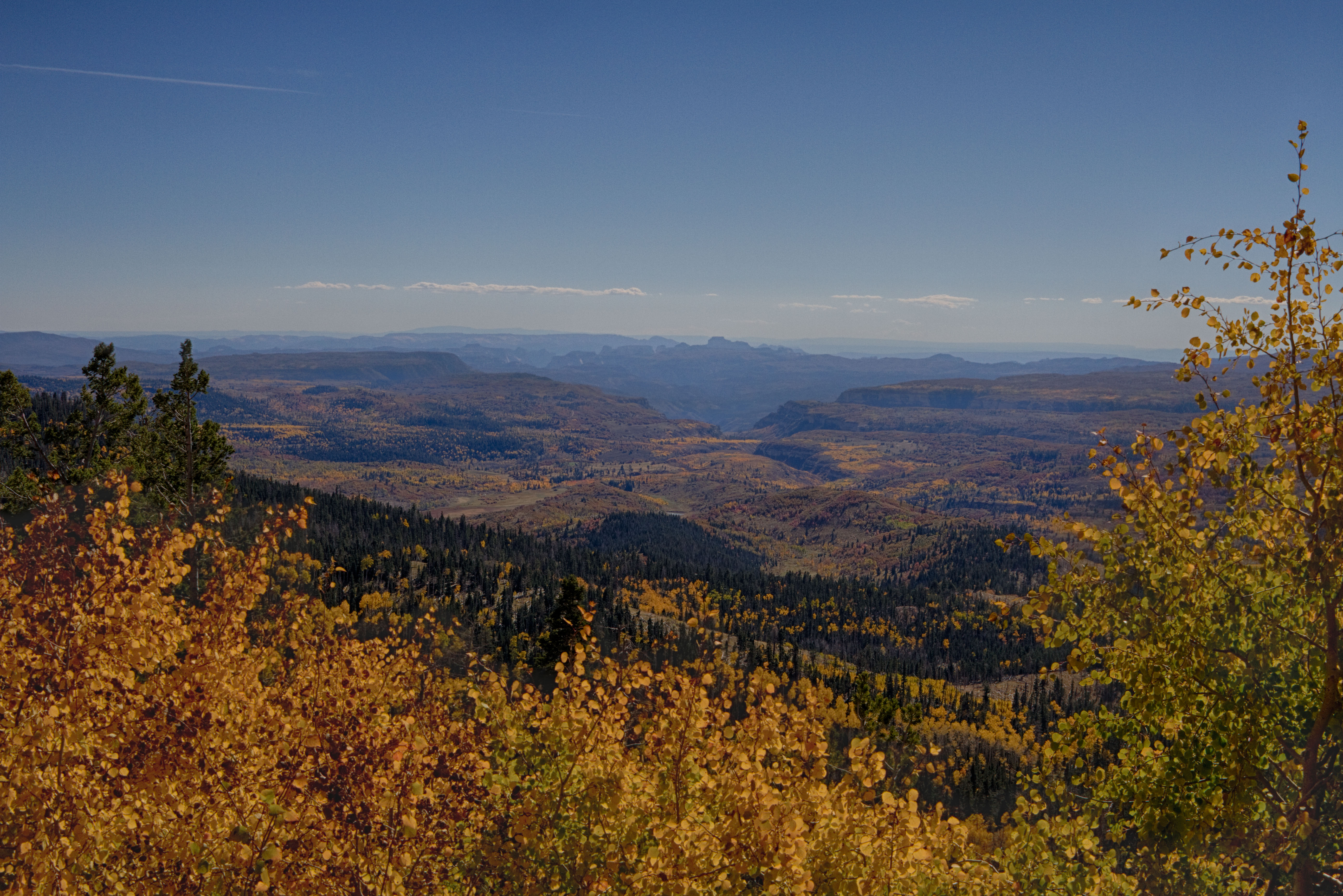
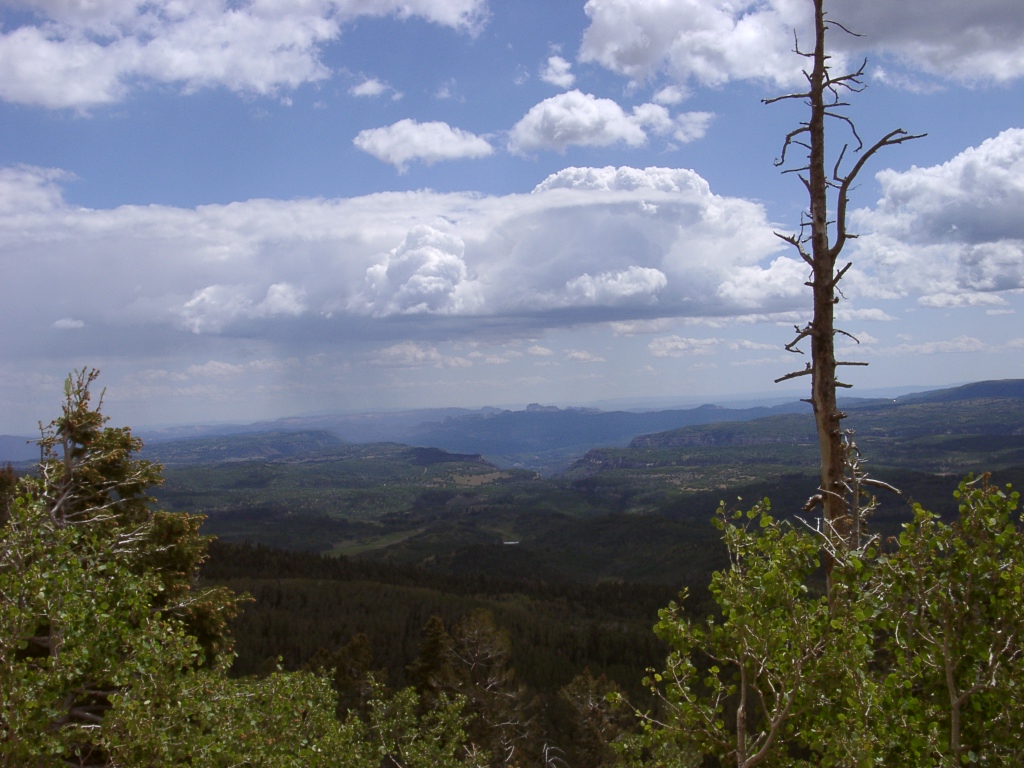
view south from just outside Cedar Breaks NM
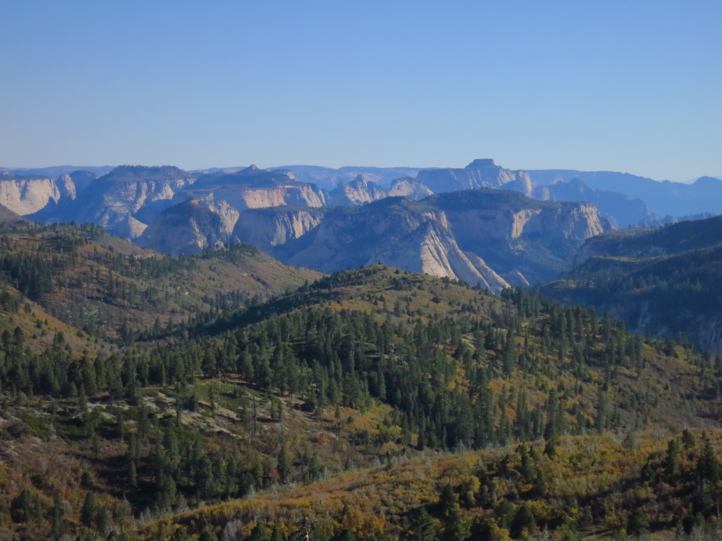
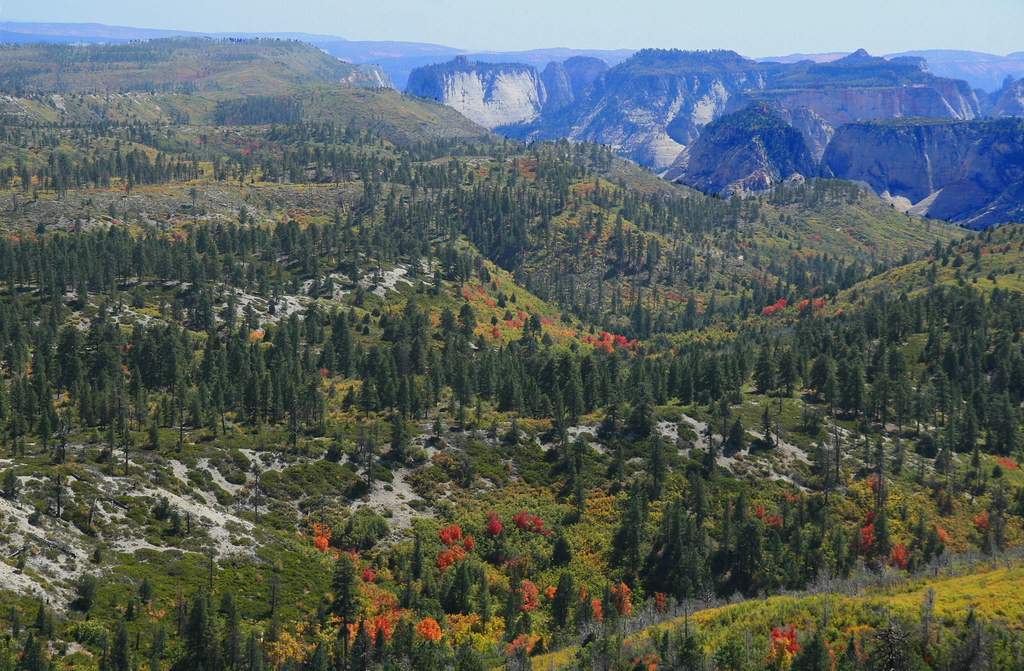
Zion with West Temple

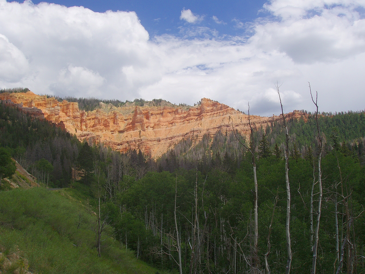
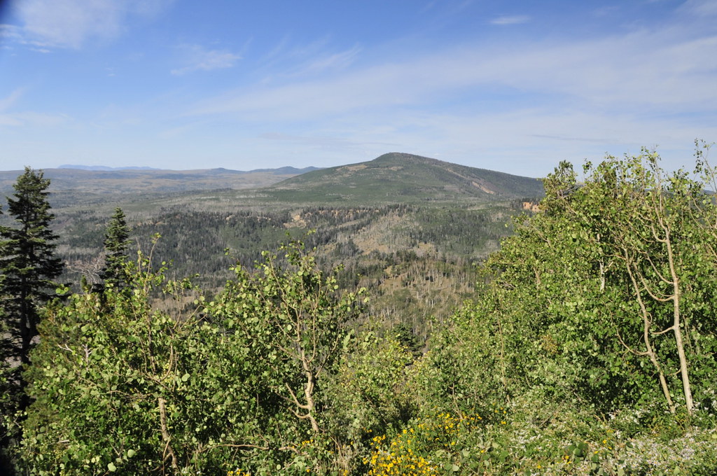
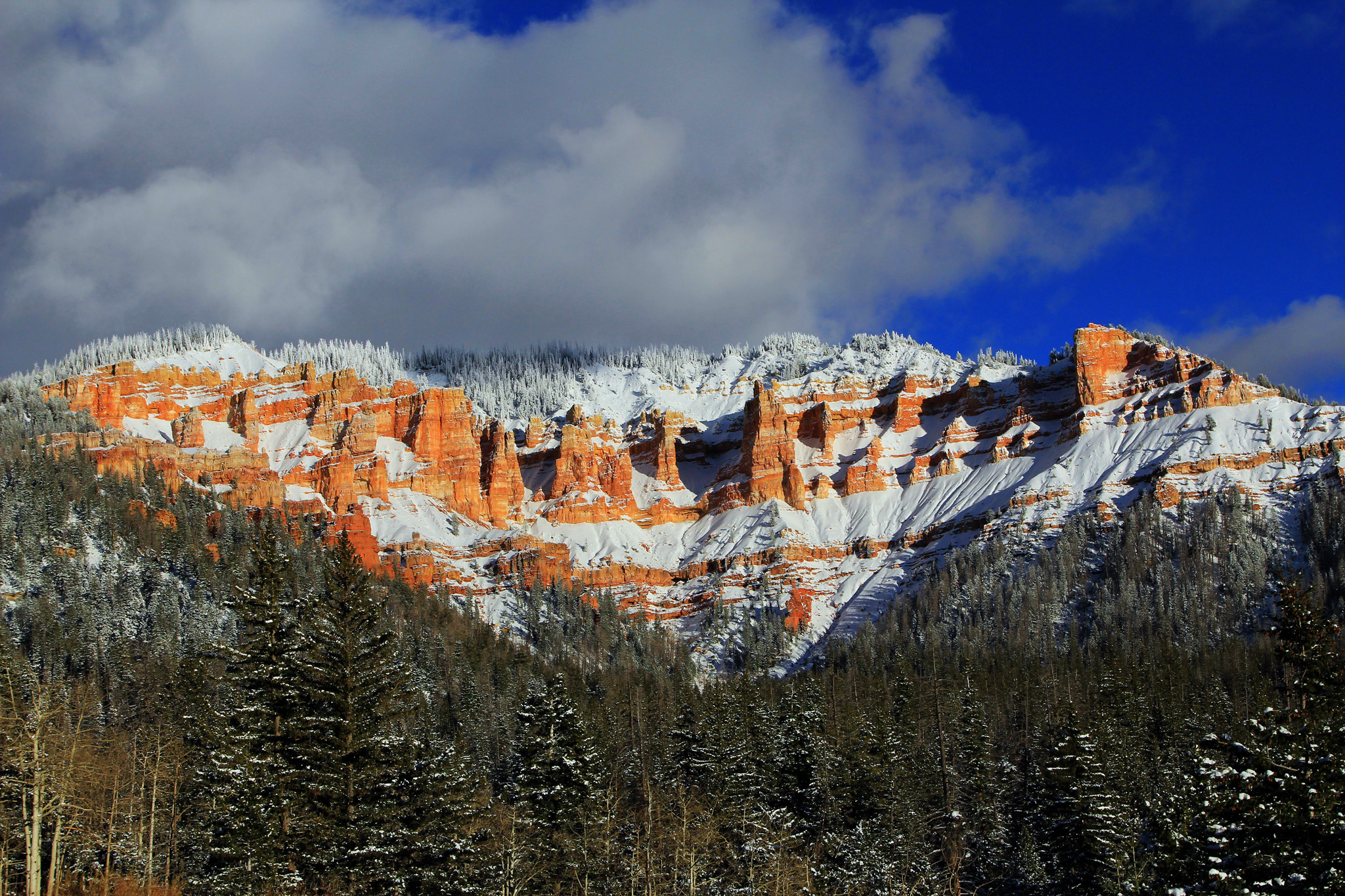
Cedar Breaks from near Black Mountain, Utah

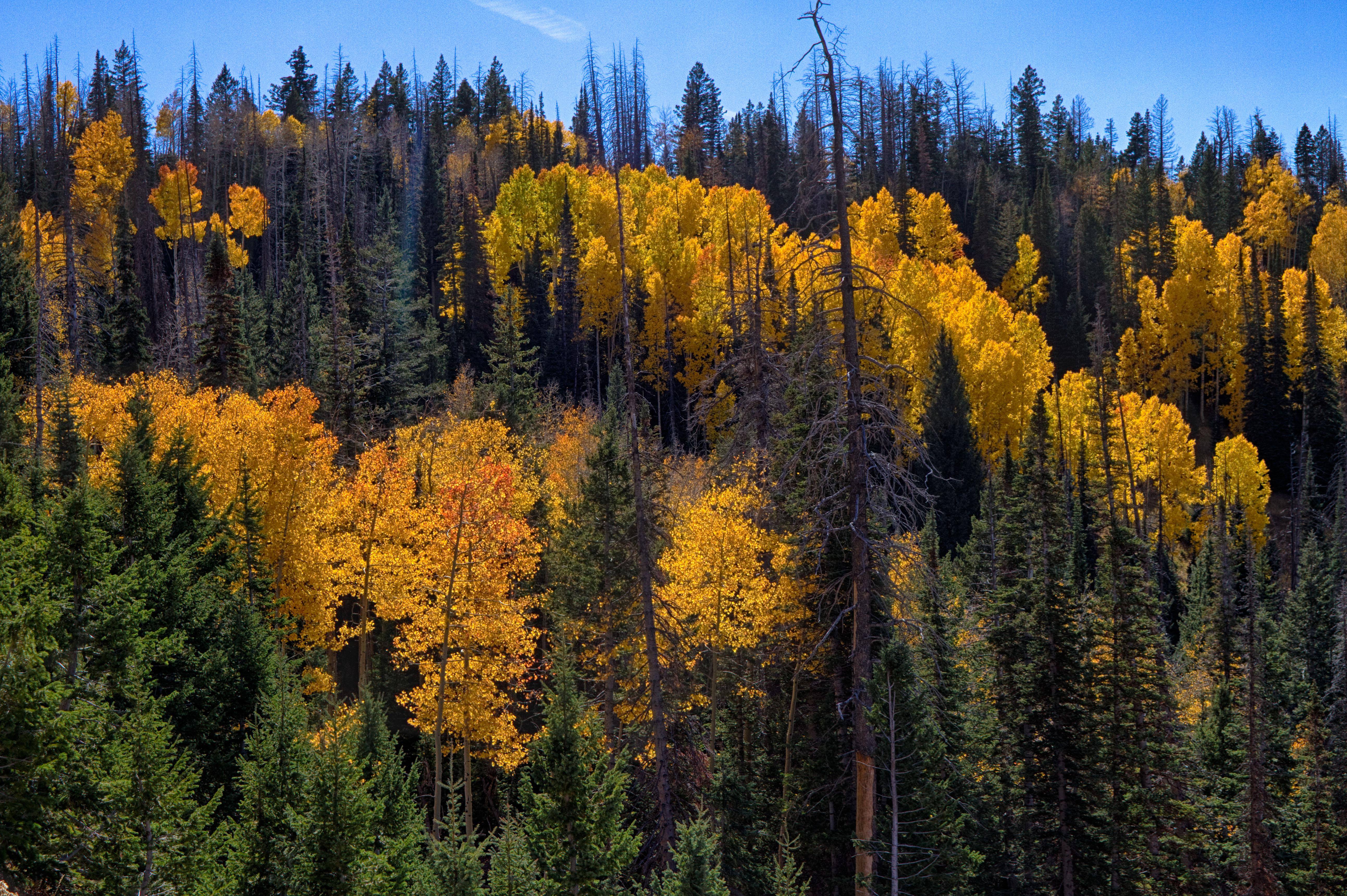
Utah mainstream
Deep and Narrow

Kanarraville Falls

Little Matterhorn
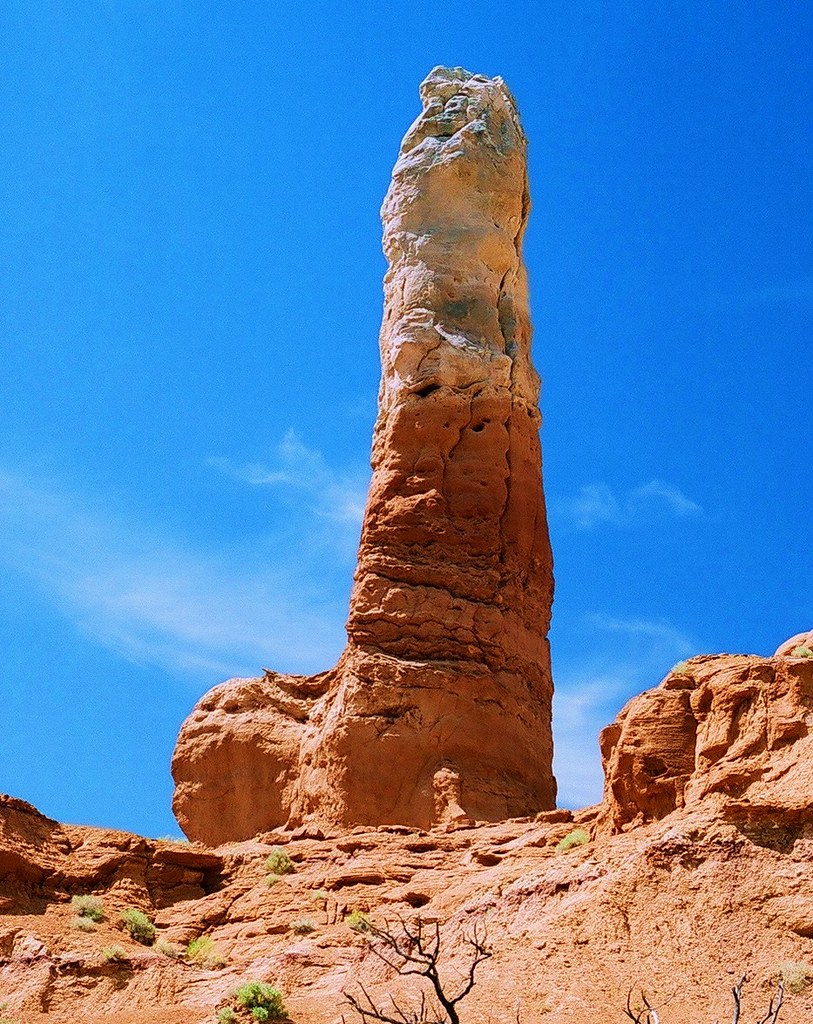
X-Rated Rock
IMG_1839Upon leaving the park, we take some backroads to our next destination and are treated to one final amazing view of the whole of Zion
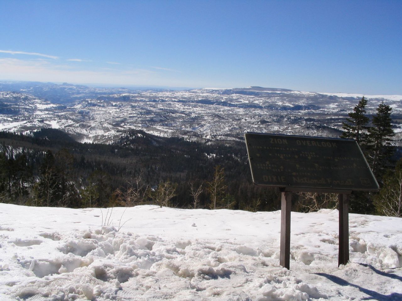
IMG_8614 zion from lava point
North View
Markagunt High Plateau Scenic Byway, Hwy 14 Over Cedar Mountain, Utah
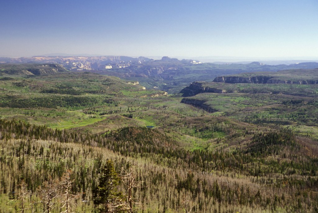
Zion Canyon
View of Zion National Park from State Route 14, Near Cedar City, Utah

View of Zion National Park from State Route 14, Utah
Zion National Park, UT-Lava Point Overlook
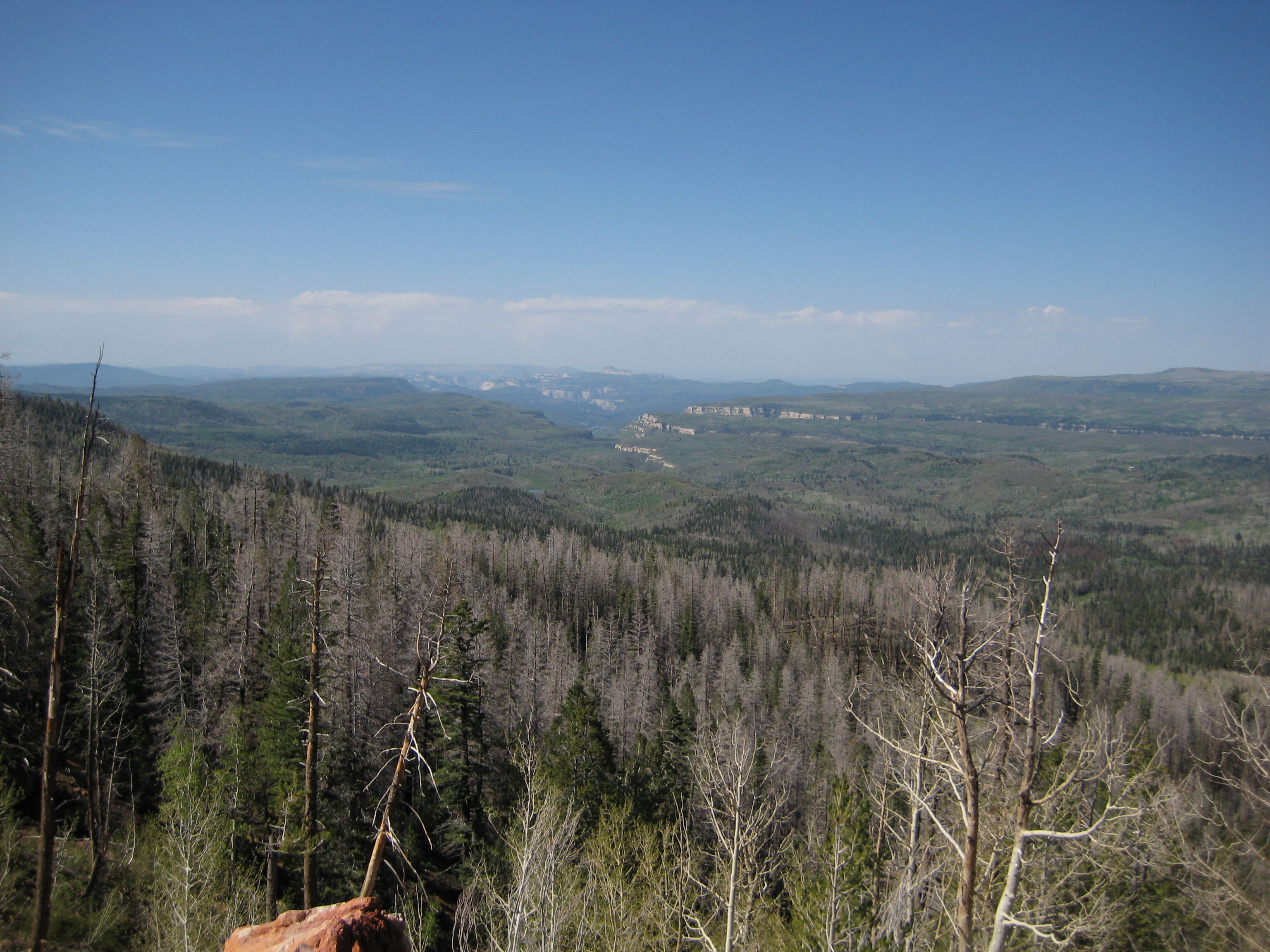
Heading Down the Mountain
13 Overlook View

UtahTravel 002
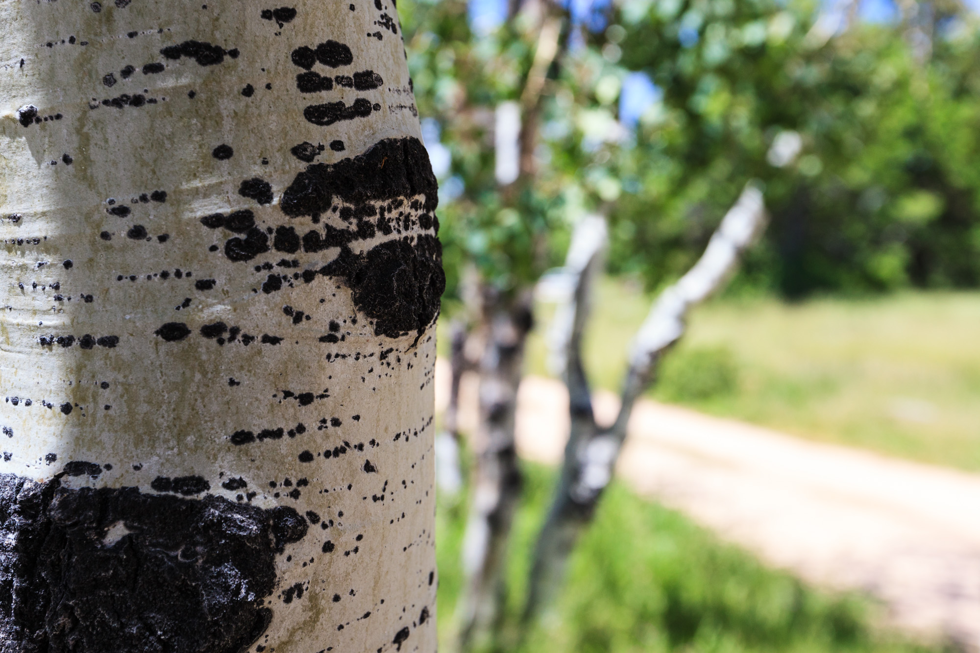
Zion National Park, UT-Lava Point Overlook; Birch Trees

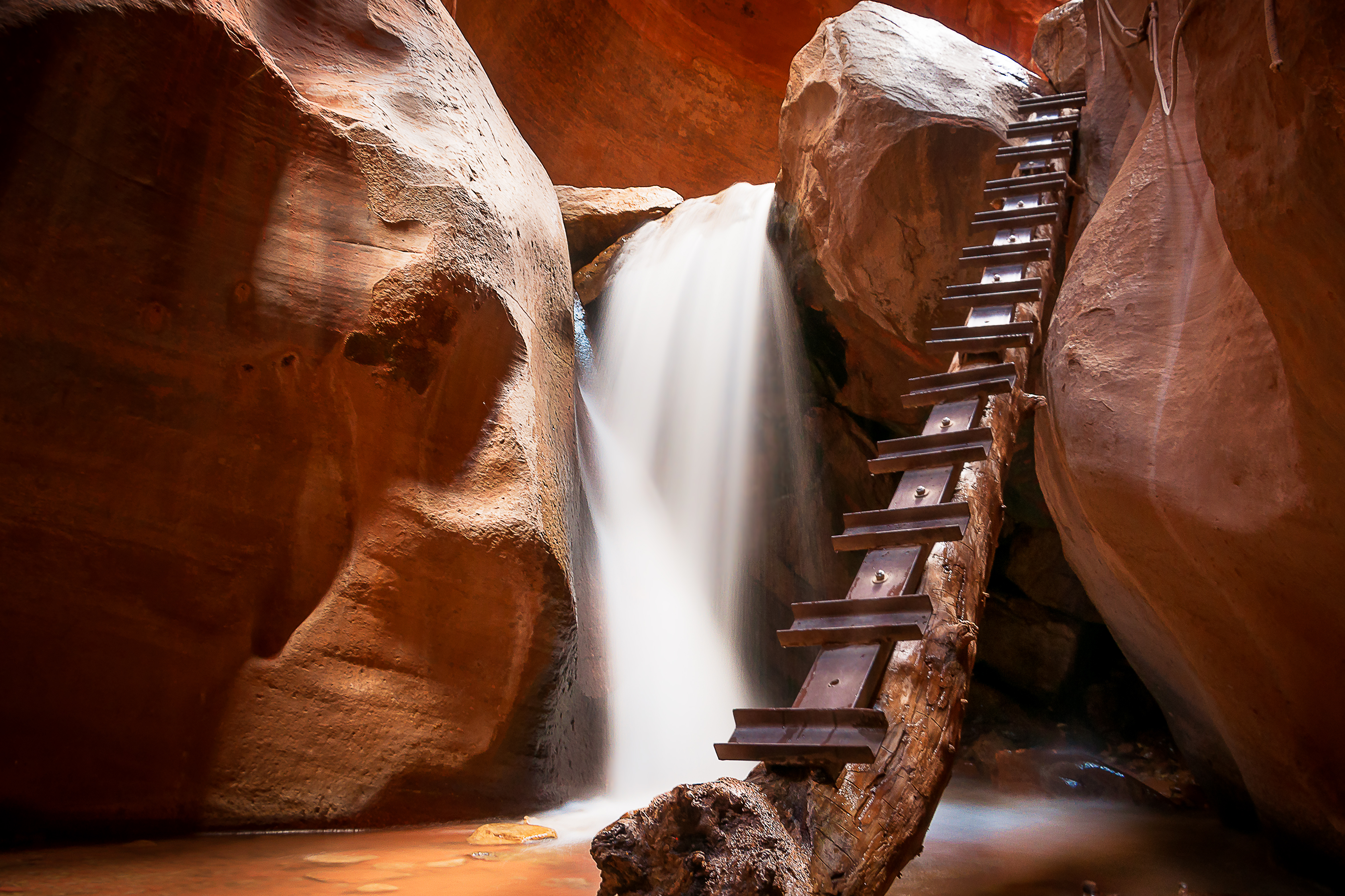
Slotted Up
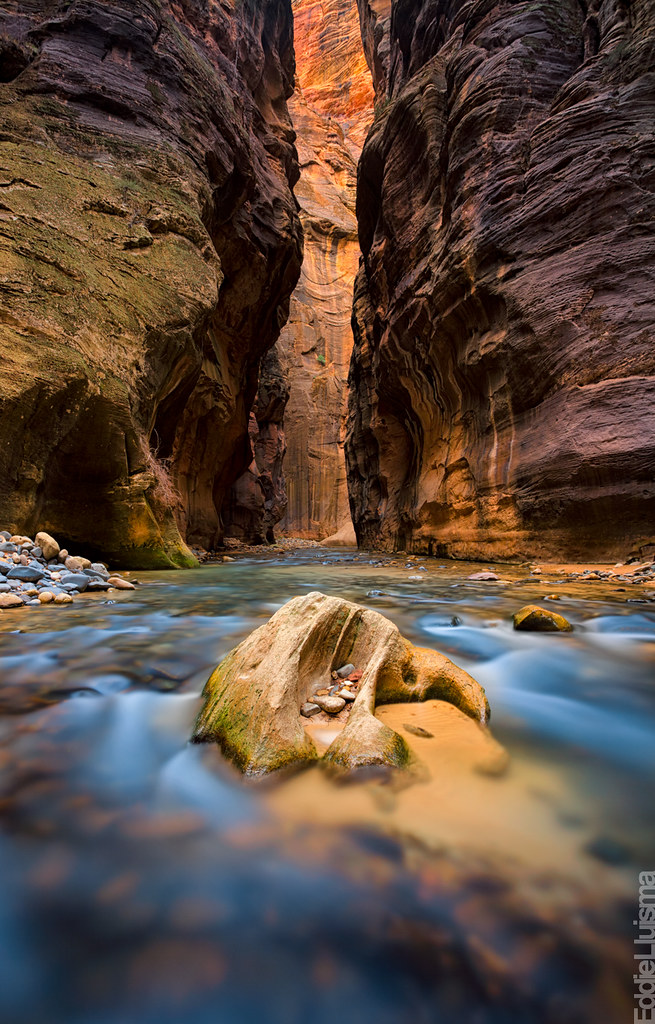
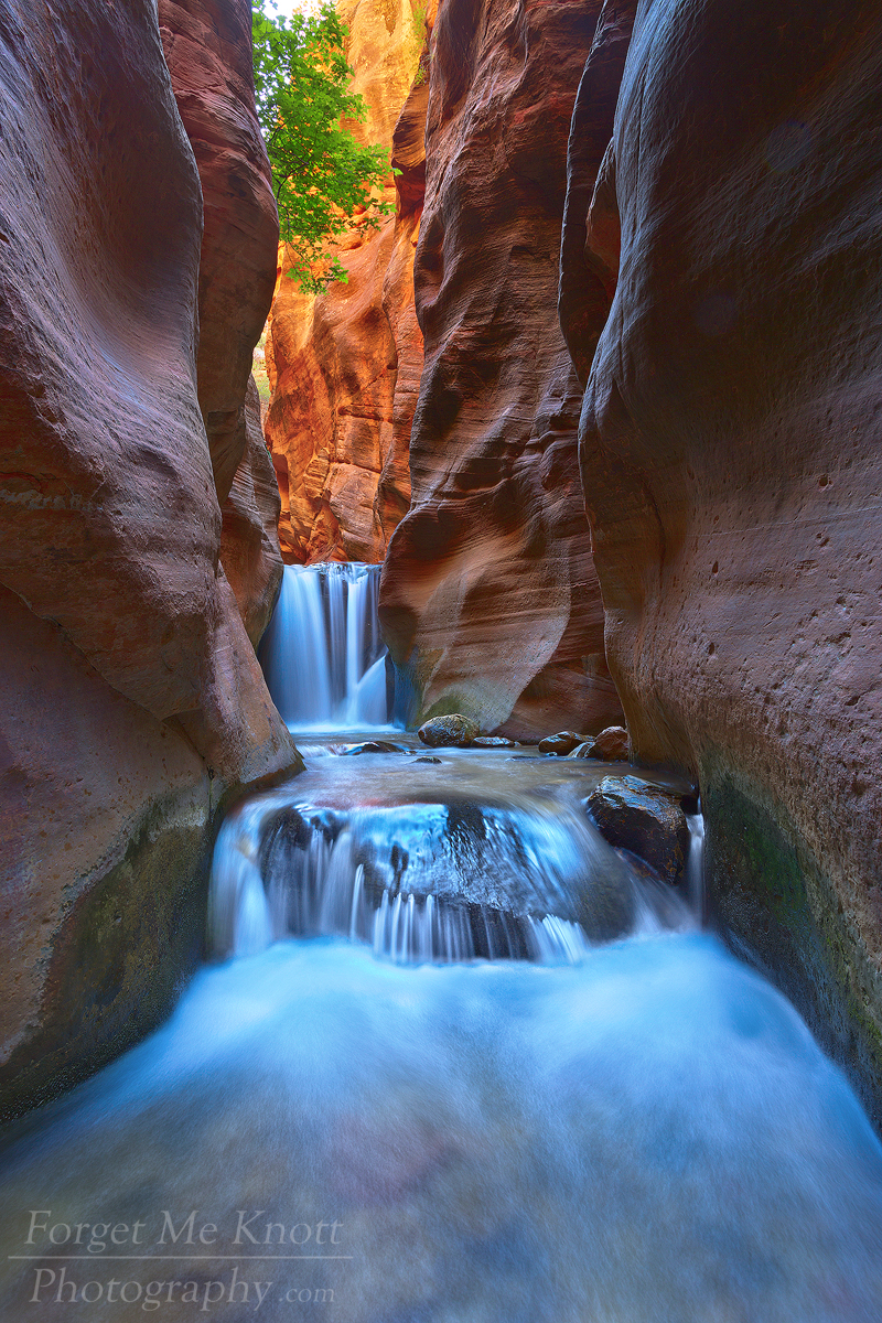
The Narrows
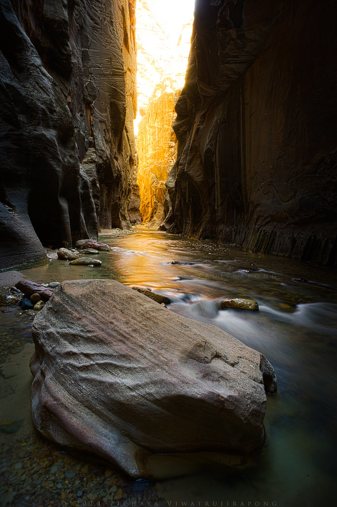
The Narrows

Double Arch Alcove
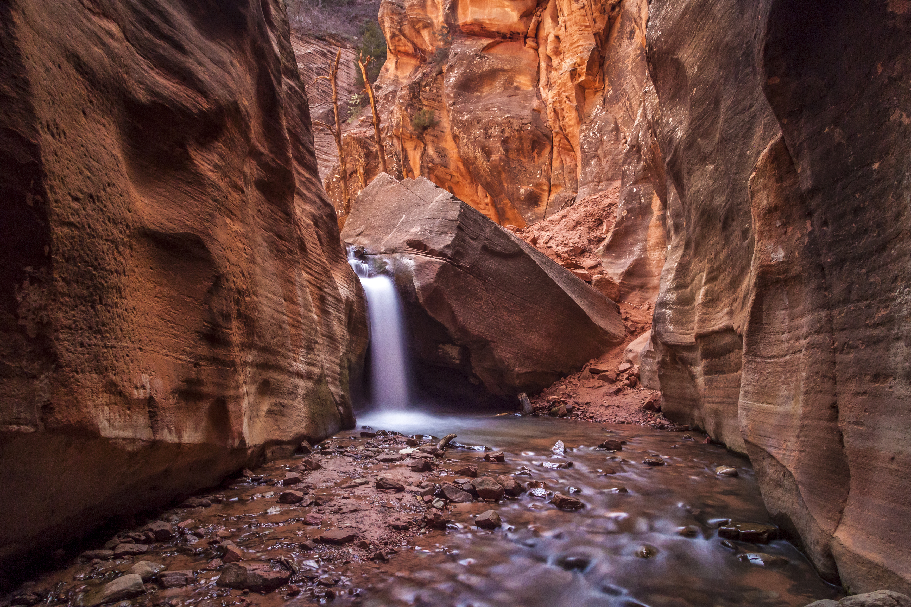
Kanarra Falls
Cedar Breaks, 30 October 2013

Zion N.P., Double Arch Alcove

_DSC0770.jpg

_DSC0774.jpg
Kanarra Fall

Squirrel Photographer
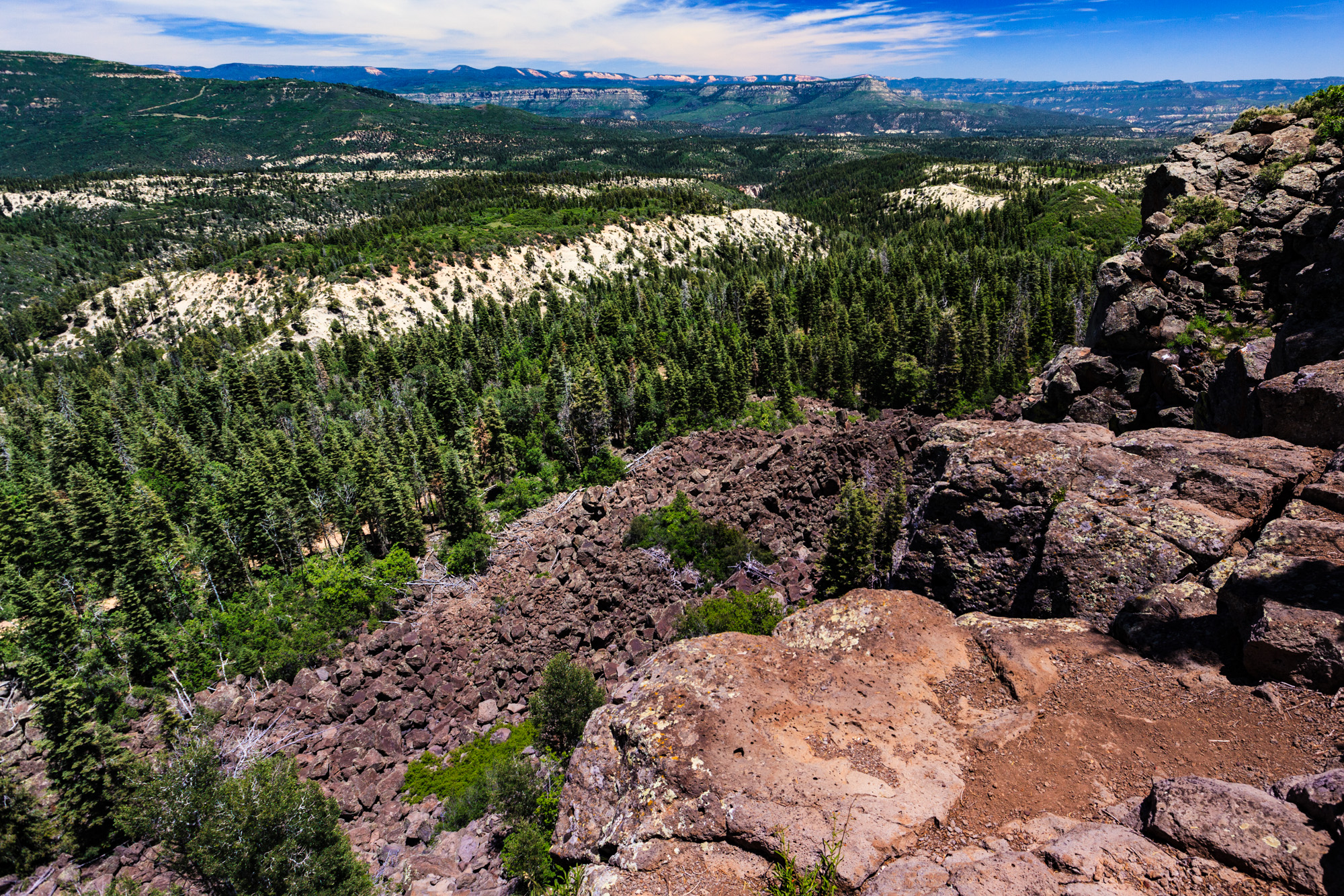
National Parks and Monuments of Northern Arizona and Southern Utah
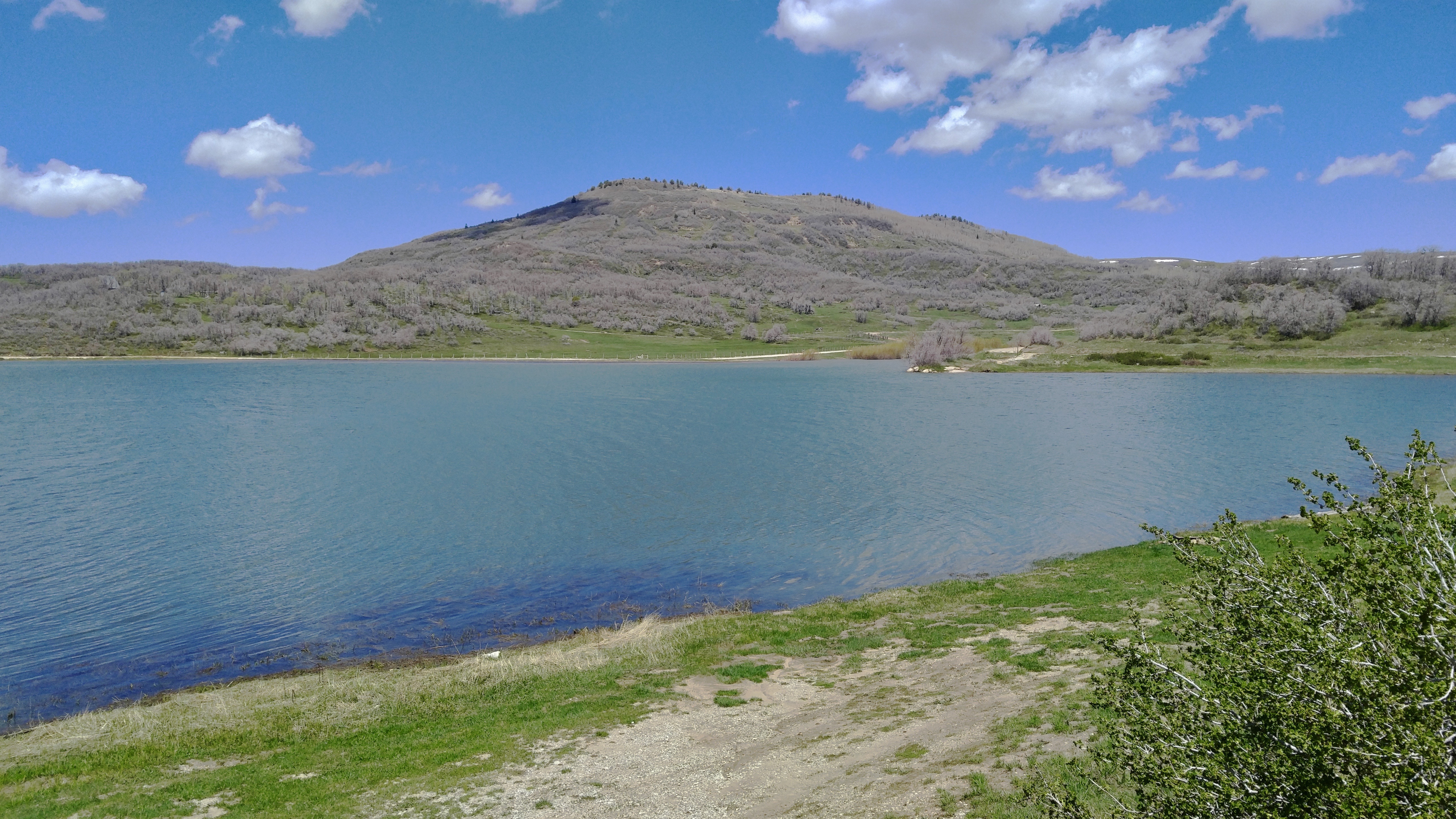
Kolob Res.

Fall over Kolub

Zion Tour, March 31 to April 2, 2017

Country Driveway in Aspens
Aspen from RT 14
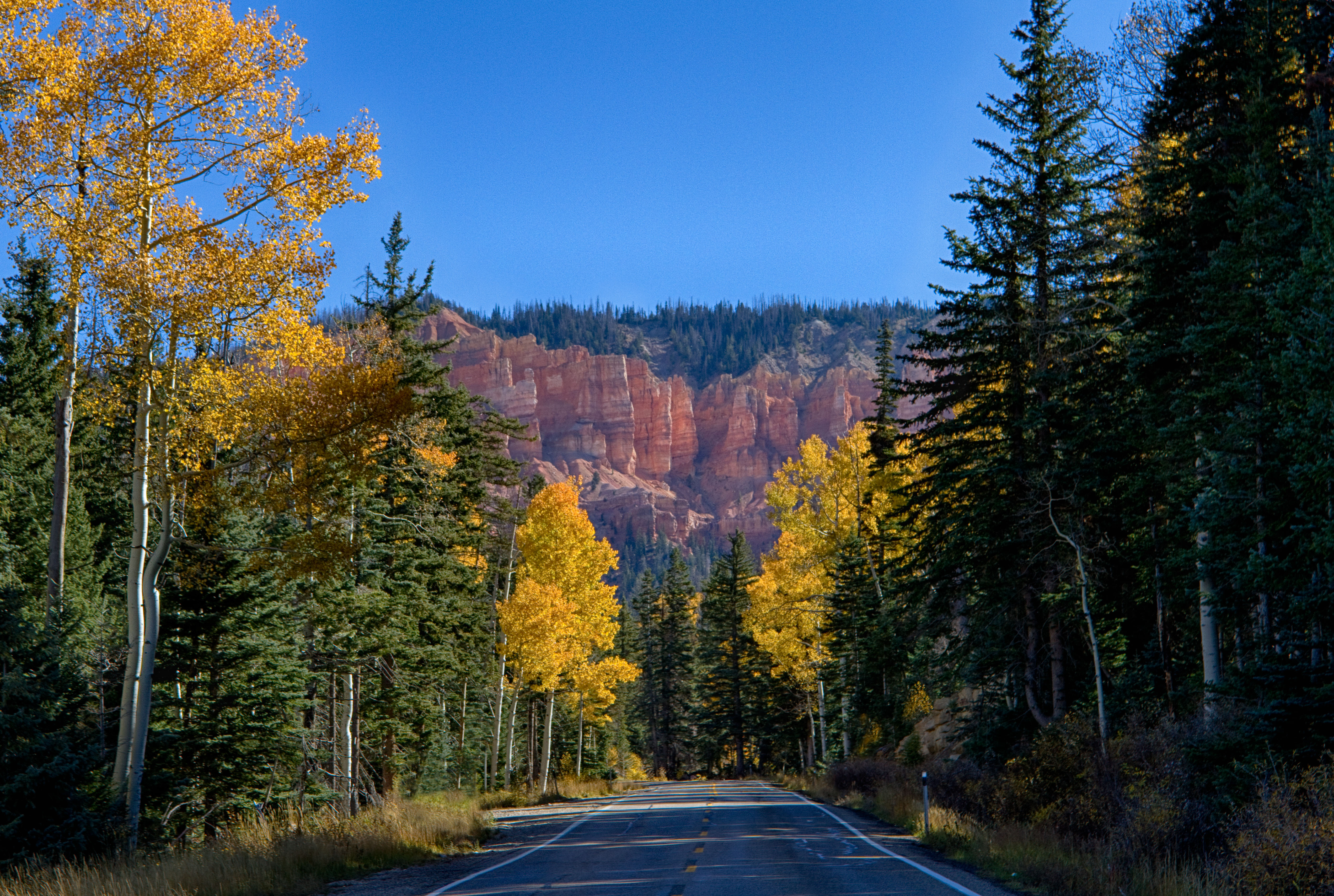
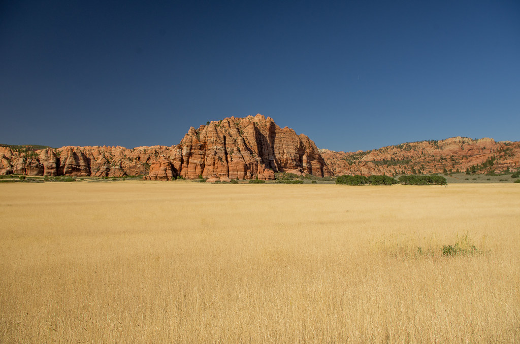
Pink Cliffs below Blowhart Mountain UT

Burning Skies

Zion Kolob Terrace Falls Panorama #2

Zion Tour, March 31 to April 2, 2017
Topographic Map of Crystal Creek, Utah, USA
Find elevation by address:

Places near Crystal Creek, Utah, USA:
2432 S High Maple Cir
2088 High Mountain View Dr
ZION NATIONAL PARK, UT, USA
Northgate Peaks Trail
The Narrows
Zion National Park
729 W 1350 S
Mw4c+fq
1351 S Providence Center Dr
Temple Of Sinawava
Cave Knoll
257 S 400 E
265 S 100 W
Cedar Breaks National Monument
W S, Cedar City, UT, USA
Kanarraville
Cedar City
200 E 200 N
Southern Utah University
200 N 100 W
Recent Searches:
- Elevation of Royal Ontario Museum, Queens Park, Toronto, ON M5S 2C6, Canada
- Elevation of Groblershoop, South Africa
- Elevation of Power Generation Enterprises | Industrial Diesel Generators, Oak Ave, Canyon Country, CA, USA
- Elevation of Chesaw Rd, Oroville, WA, USA
- Elevation of N, Mt Pleasant, UT, USA
- Elevation of 6 Rue Jules Ferry, Beausoleil, France
- Elevation of Sattva Horizon, 4JC6+G9P, Vinayak Nagar, Kattigenahalli, Bengaluru, Karnataka, India
- Elevation of Great Brook Sports, Gold Star Hwy, Groton, CT, USA
- Elevation of 10 Mountain Laurels Dr, Nashua, NH, USA
- Elevation of 16 Gilboa Ln, Nashua, NH, USA