Elevation of Crumpler, WV, USA
Location: United States > West Virginia > Mcdowell County >
Longitude: -81.341768
Latitude: 37.4248377
Elevation: 706m / 2316feet
Barometric Pressure: 93KPa
Elevation Map:
Satellite Map:
Related Photos:

Centre Street, Pocahontas, Virginia

A View down West Saint Claire Street, Pocahontas, Virginia

Virginia and West Virginia: View from Pinnacle Rock overlook
A shortened perspective

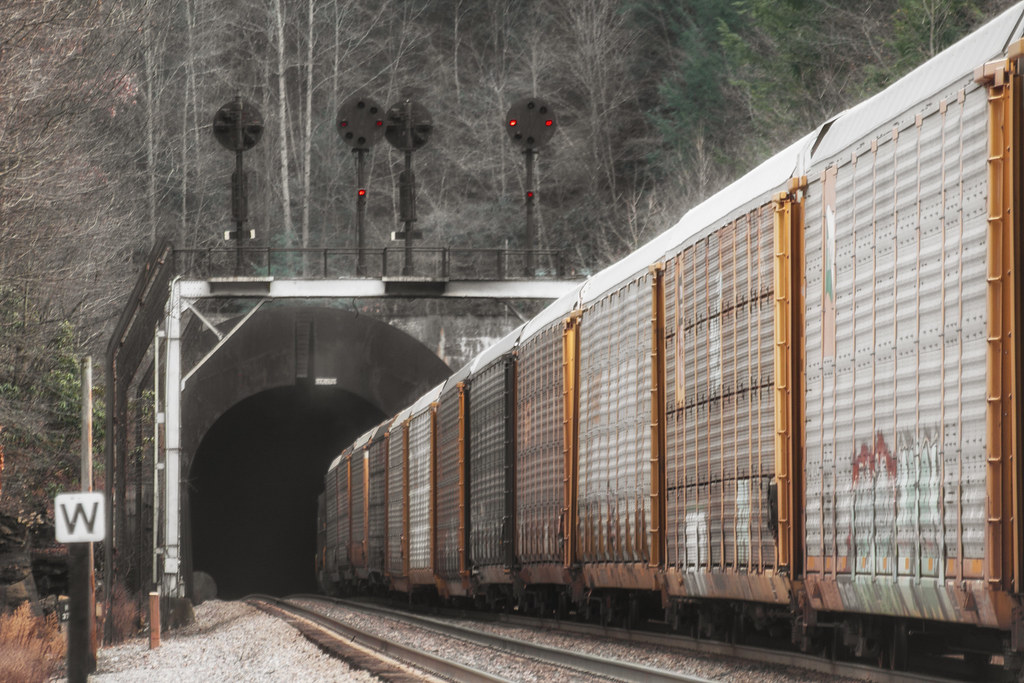
DLW SD70ACe-1074, NS C40-9-8795 E/B at Nemours, WV

Pinnacle Rock State Park
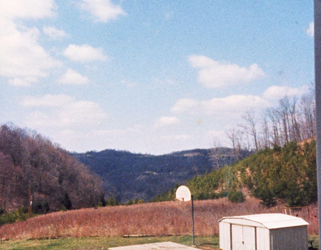
front yard view
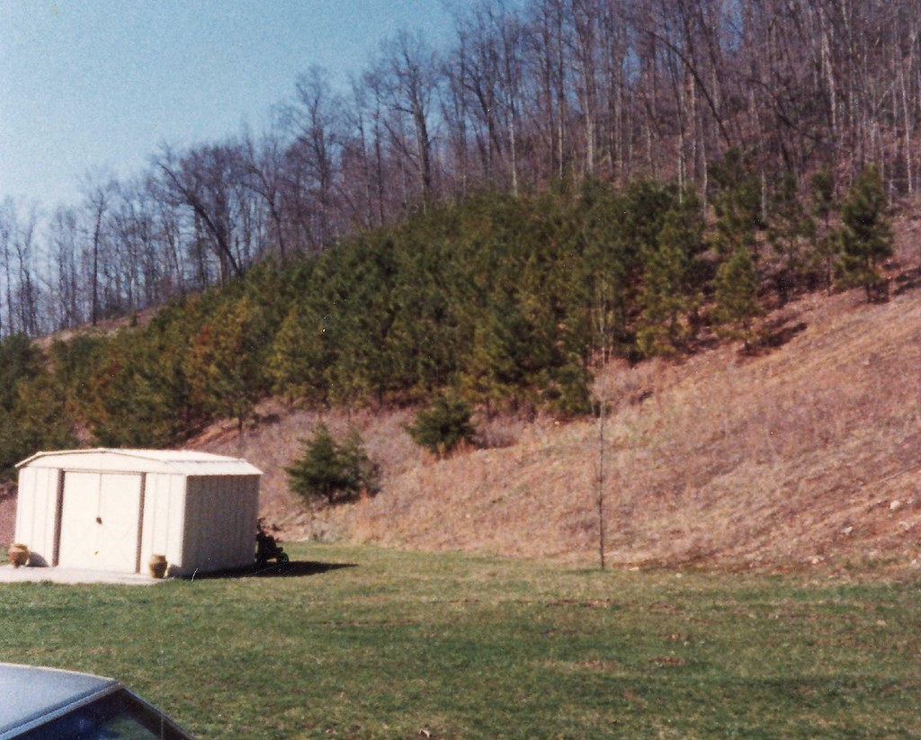
side yard

View from Pinnacle Rock

Switchback Heritage Pair

alpoca,wv

Pinnacle Rock State Park

Bramwell Oktoberfest

Pinnacle Rock State Park
Pinnacle Rock State Park

Giatto Road

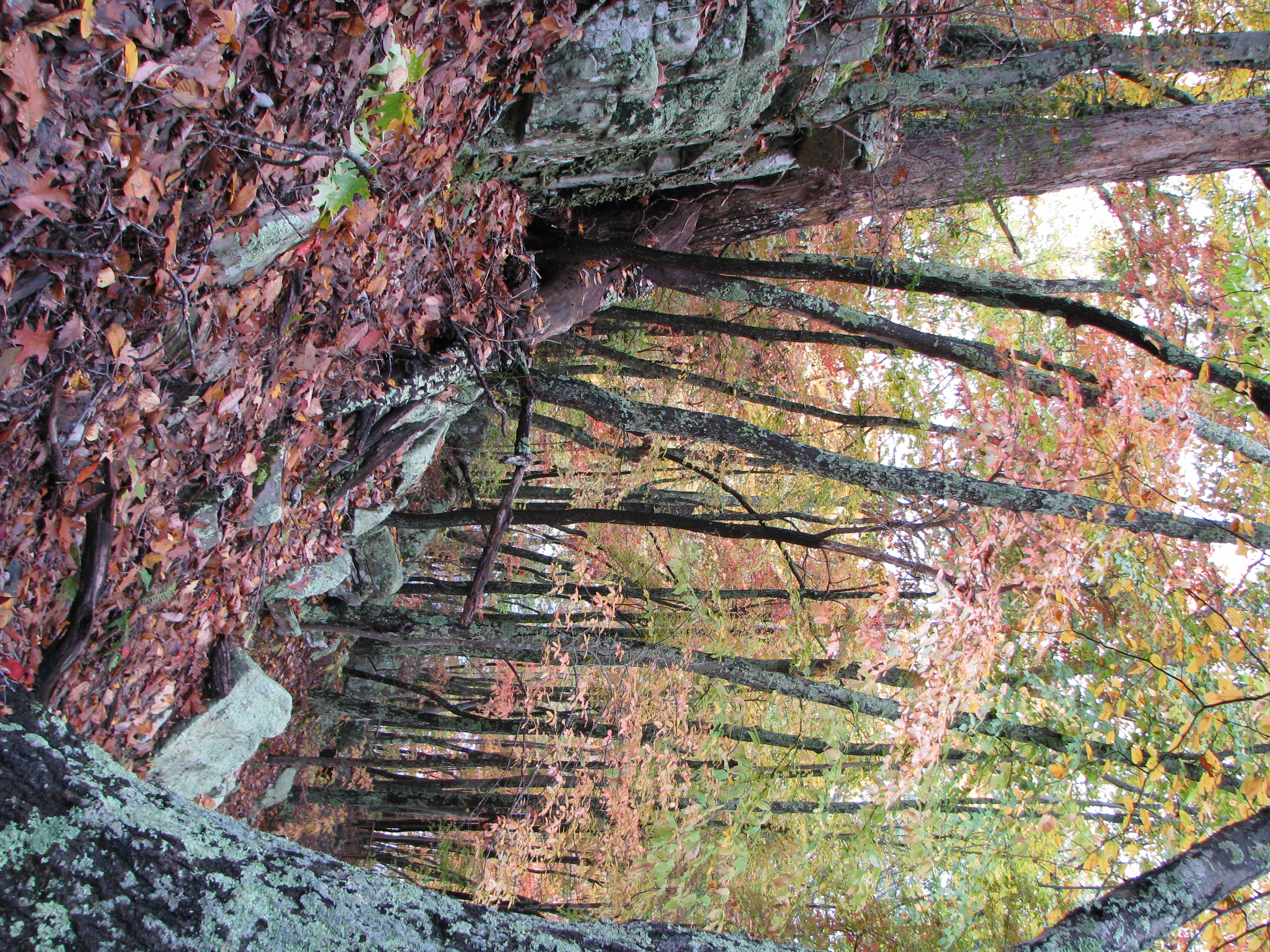
Pinnacle Rock
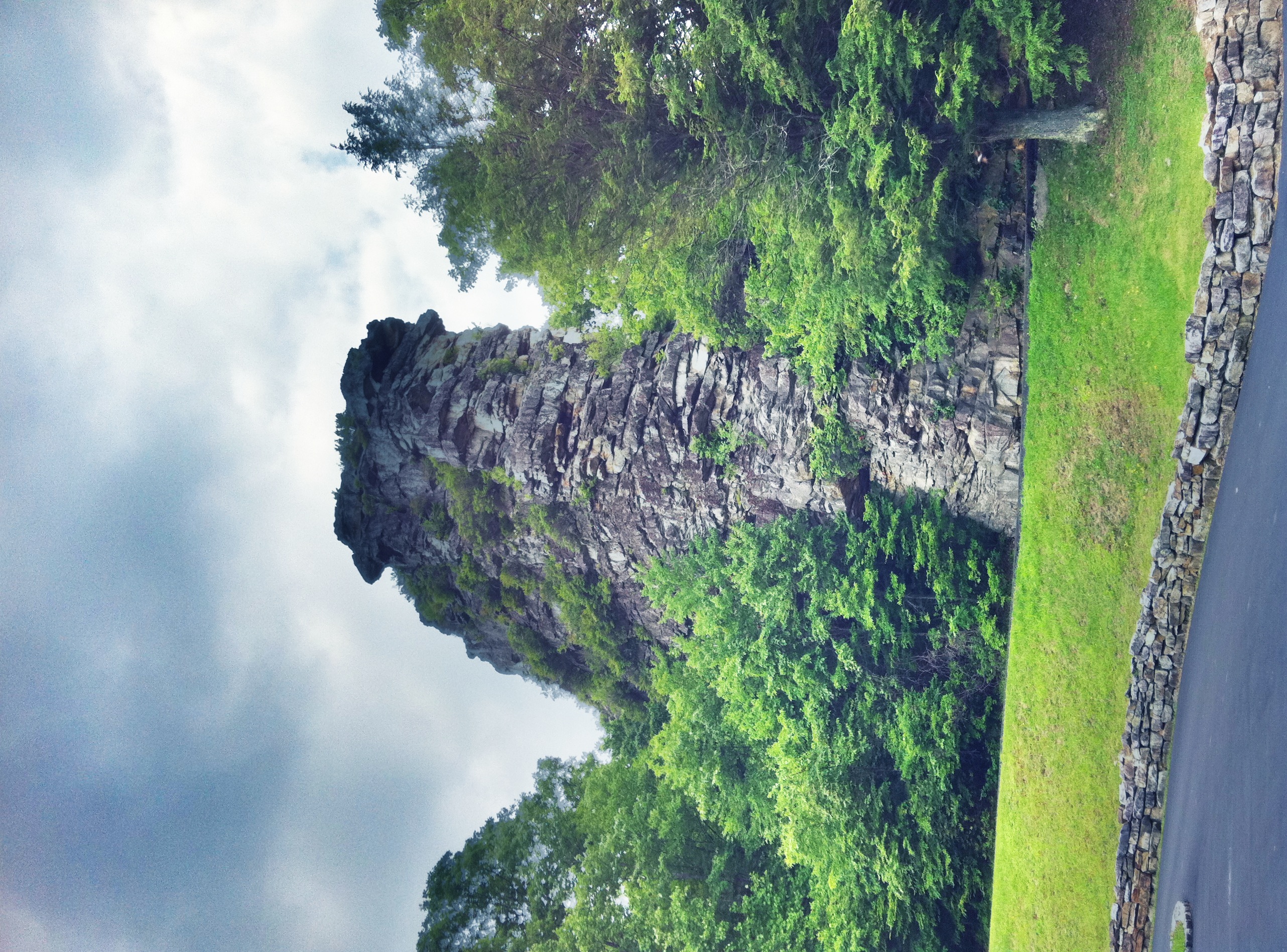
Pinnacle Rock

Breaker, Keystone, WV

Kimball, West Virginia

NS 1003 #776 Northfork, WV
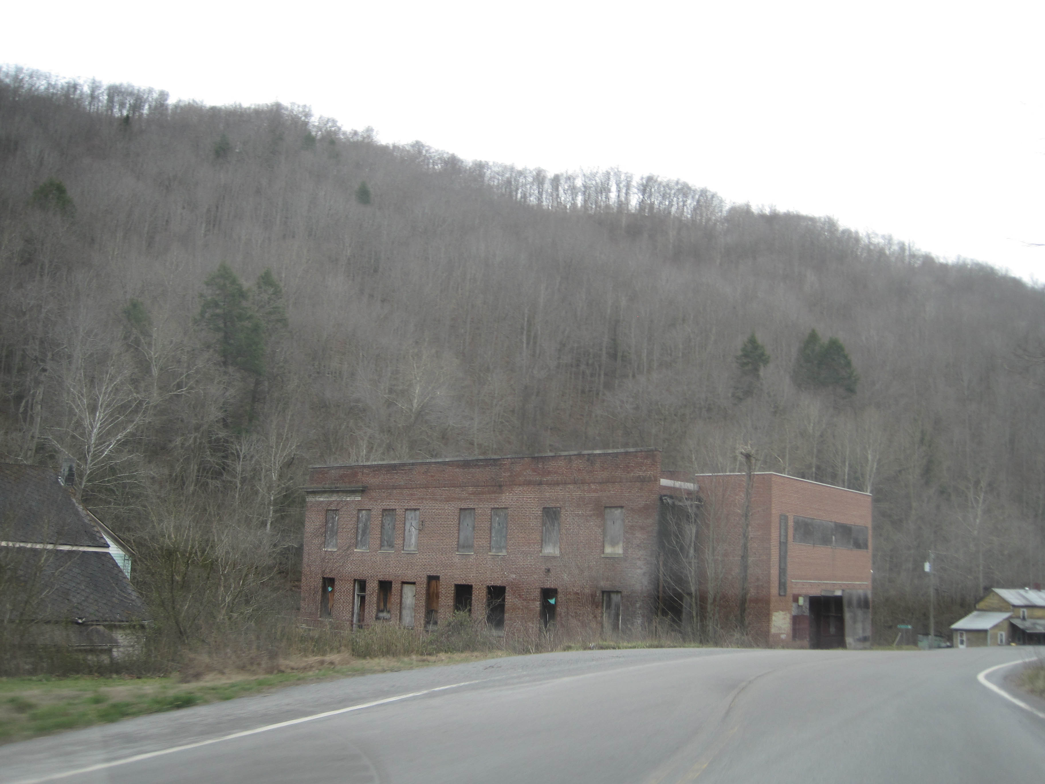
Pageton Company Store
Kudzu, West Virginia

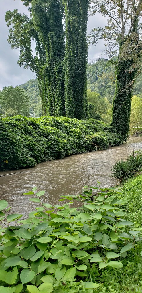
Bluestone River

Pinnacle Rock State Park
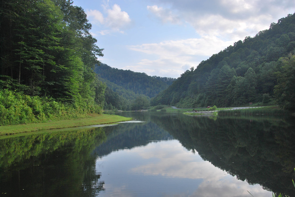
Anawalt Lake

grahams back yard
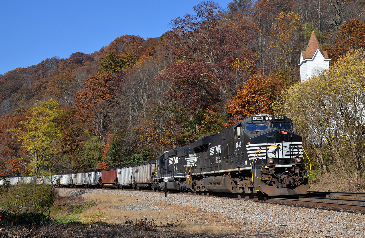
NS ES40DC-7646 SD40-2-3351 E/B at Elkhorn, WV

Kimball, West Virginia
Topographic Map of Crumpler, WV, USA
Find elevation by address:

Places near Crumpler, WV, USA:
Ashland Resort
Giatto Road
1169 Lamar Rd
Bramwell-coaldale Road
613 Co Rte 11
1406 Bramwell Hill Rd
1406 Bramwell Hill Rd
1406 Bramwell Hill Rd
1406 Bramwell Hill Rd
Northfork
Matoaka
Freeman
Bramwell
401 Rimrock Rd
Pinnacle
Old Rock River Road
Eckman
1332 Rock Rd
Rock
Buffalo Trails Cabins And Restaurant
Recent Searches:
- Elevation of Groblershoop, South Africa
- Elevation of Power Generation Enterprises | Industrial Diesel Generators, Oak Ave, Canyon Country, CA, USA
- Elevation of Chesaw Rd, Oroville, WA, USA
- Elevation of N, Mt Pleasant, UT, USA
- Elevation of 6 Rue Jules Ferry, Beausoleil, France
- Elevation of Sattva Horizon, 4JC6+G9P, Vinayak Nagar, Kattigenahalli, Bengaluru, Karnataka, India
- Elevation of Great Brook Sports, Gold Star Hwy, Groton, CT, USA
- Elevation of 10 Mountain Laurels Dr, Nashua, NH, USA
- Elevation of 16 Gilboa Ln, Nashua, NH, USA
- Elevation of Laurel Rd, Townsend, TN, USA