Elevation of Crump Rd, Lenoir, NC, USA
Location: United States > North Carolina > Caldwell County > Lenoir > Lenoir >
Longitude: -81.580221
Latitude: 35.865988
Elevation: 332m / 1089feet
Barometric Pressure: 97KPa
Elevation Map:
Satellite Map:
Related Photos:
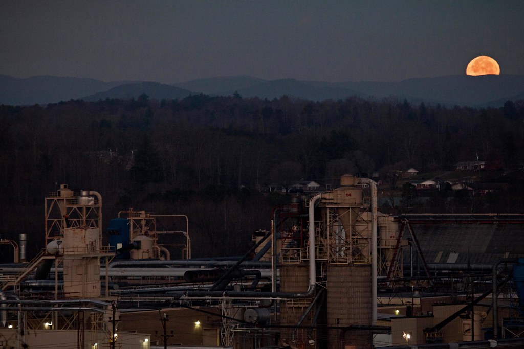
Moonset Over the Blue Ridge Mountains 48/52
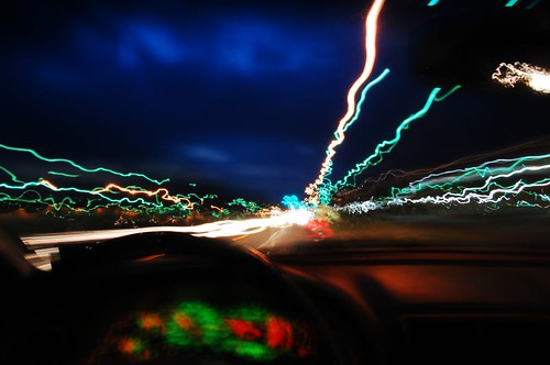
Speed Demon
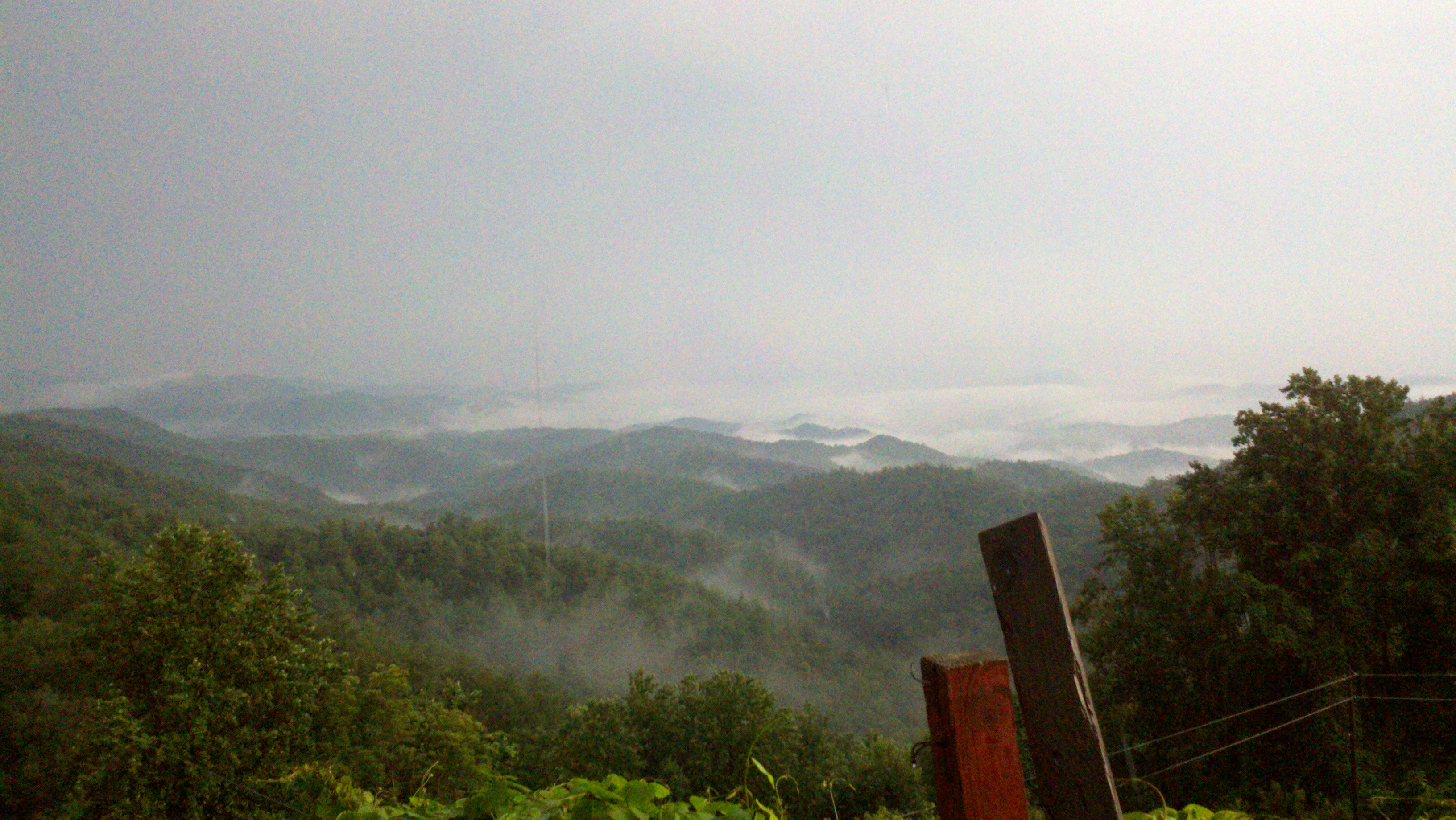
The view of the Blue Ridge Mountains just outside Blowing Rock NC.

[Full View] Old Hat, Downtown Lenoir, Jonathan Cox Photoshoot
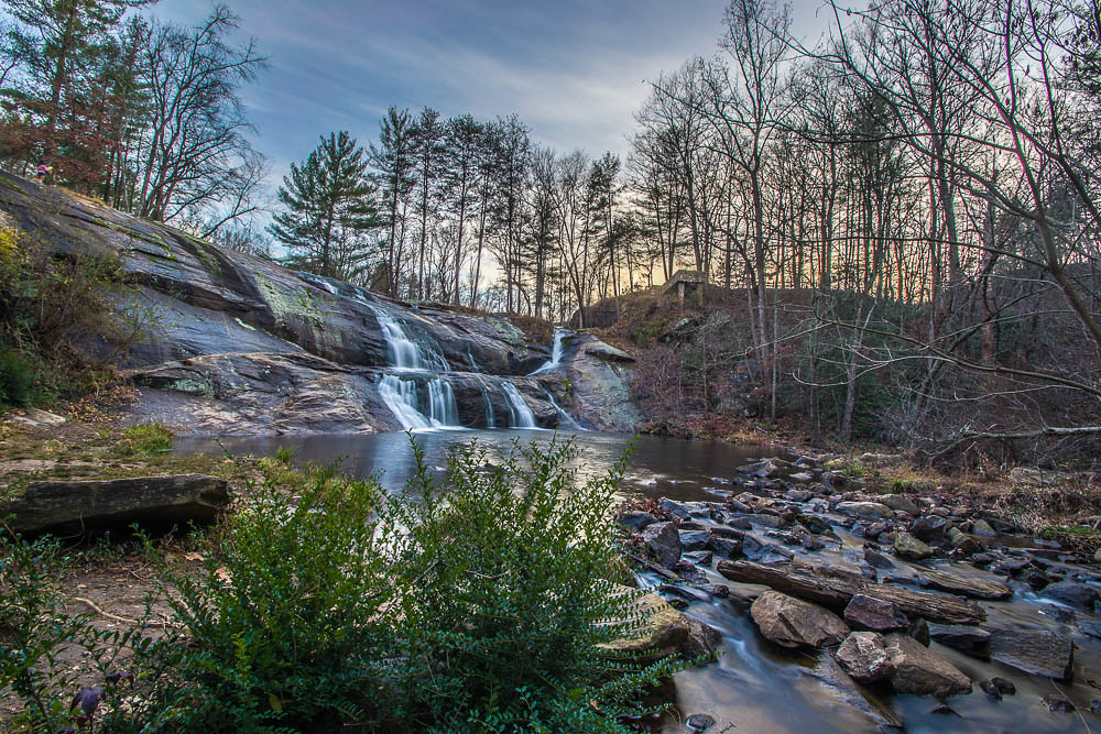
McGalliard Falls Wide View
Waterfront View
David Hopkins Photography-"The Booth"
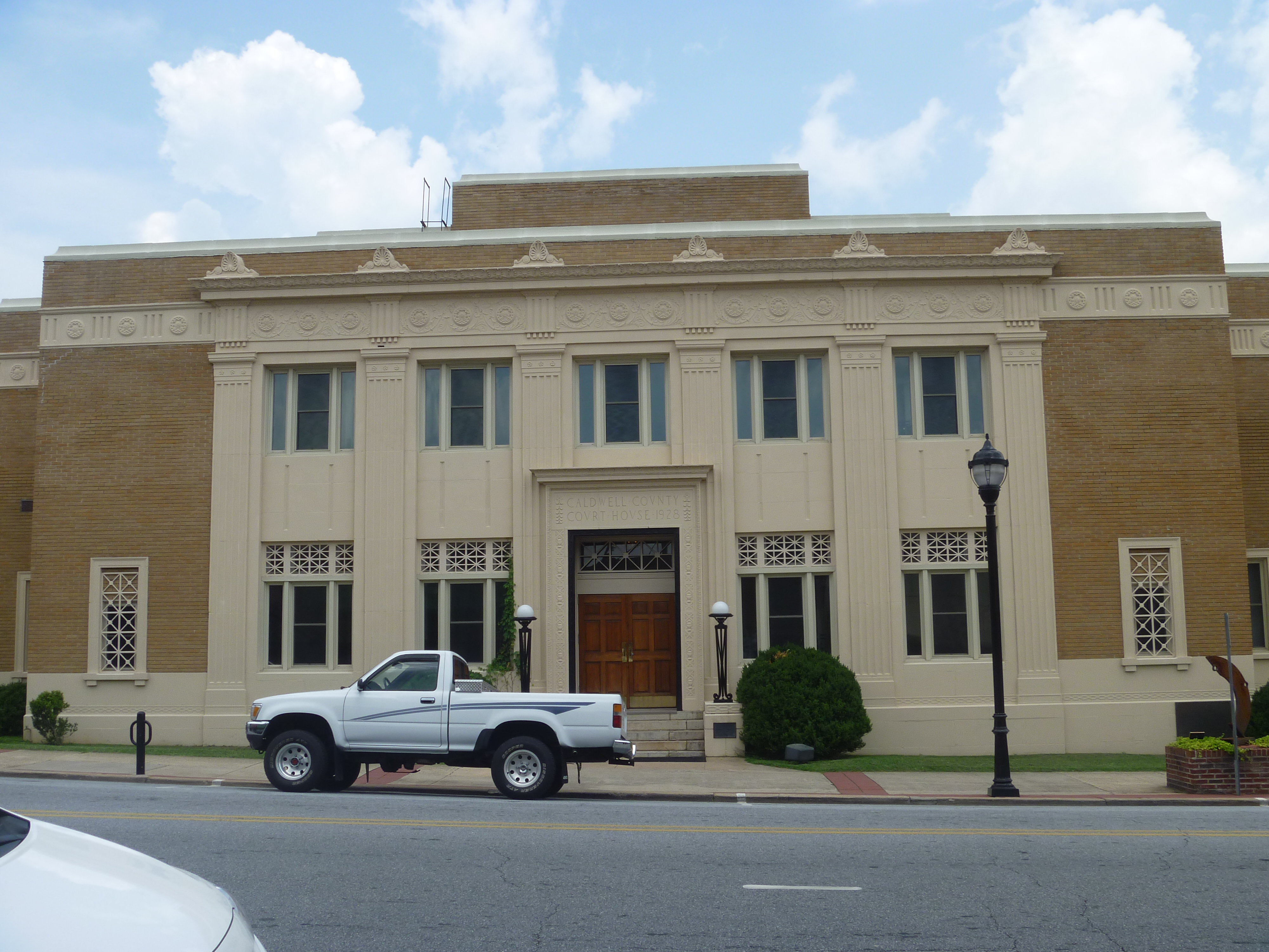
Front View, Caldwell County Courthouse
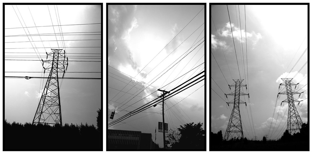
Piedmont Powerlines
321 By Day
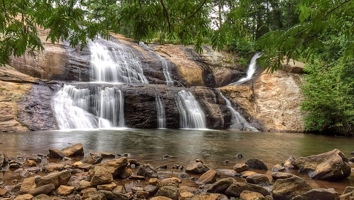
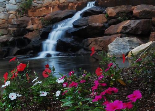
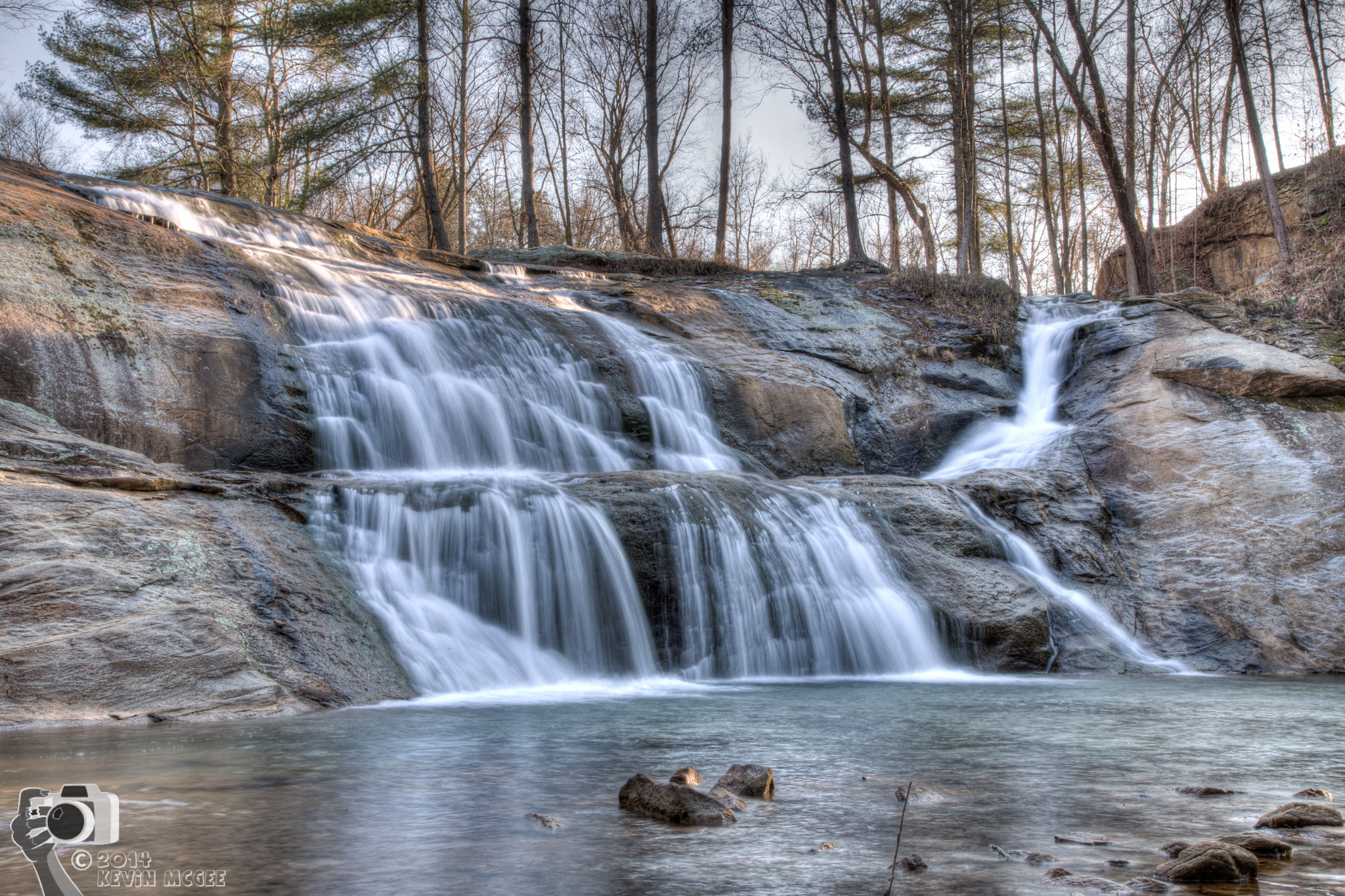
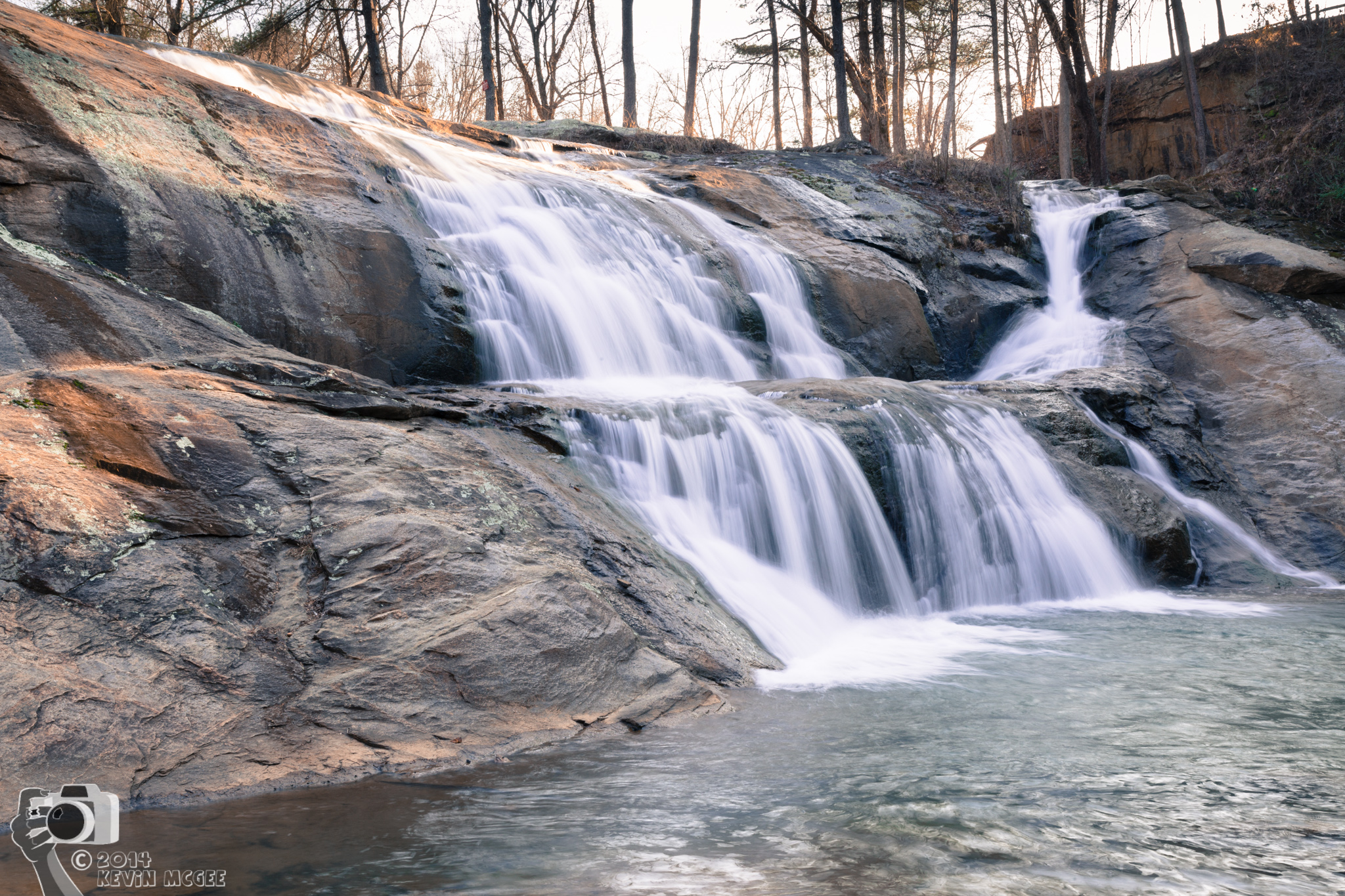
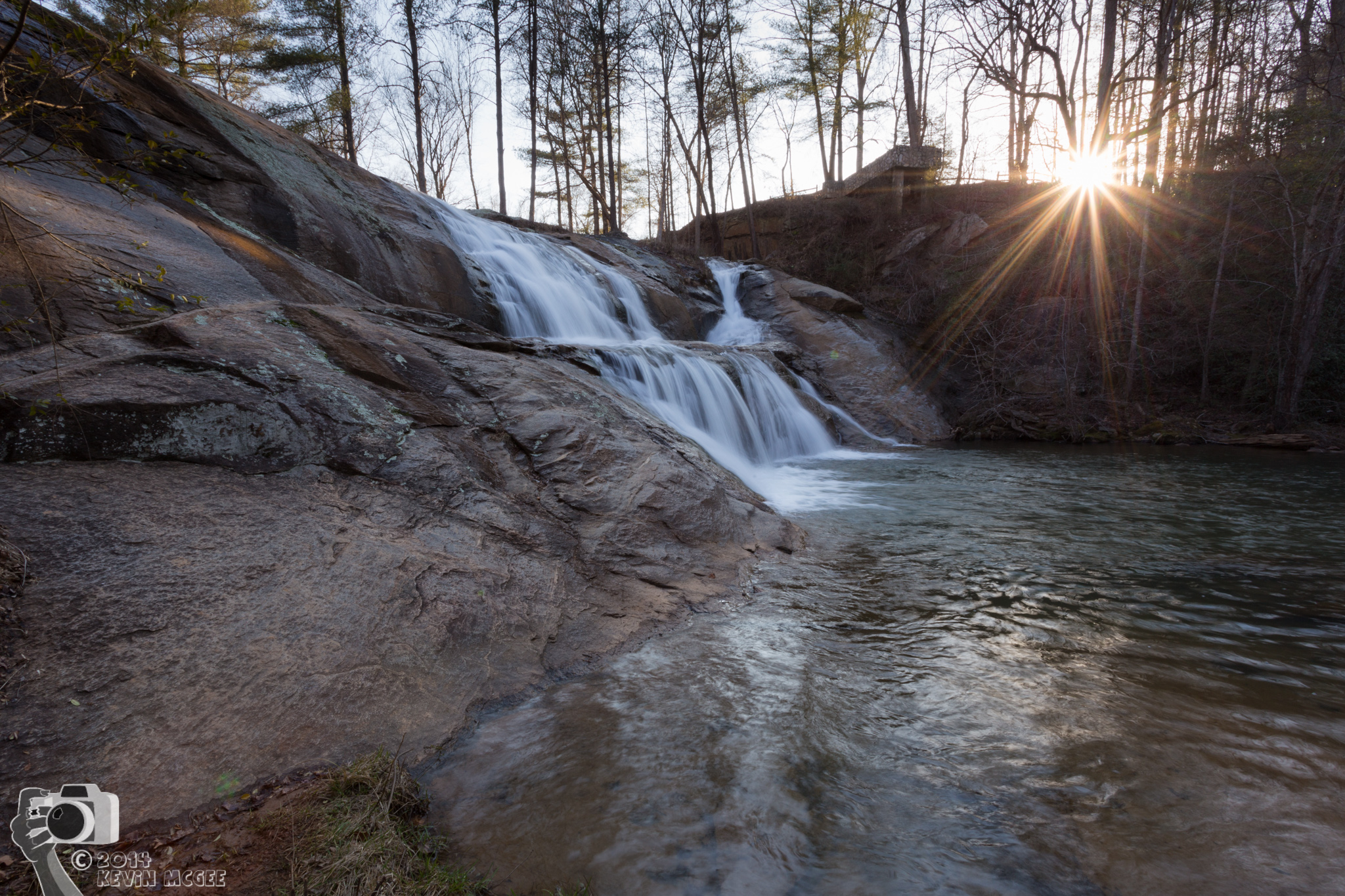
McGalliard Falls
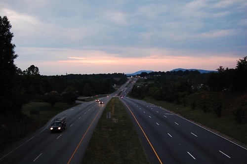
Uneasy Roads

Main Street at 5:00 am 350/365 (Explore 12/16/2011)
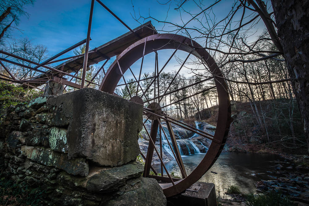
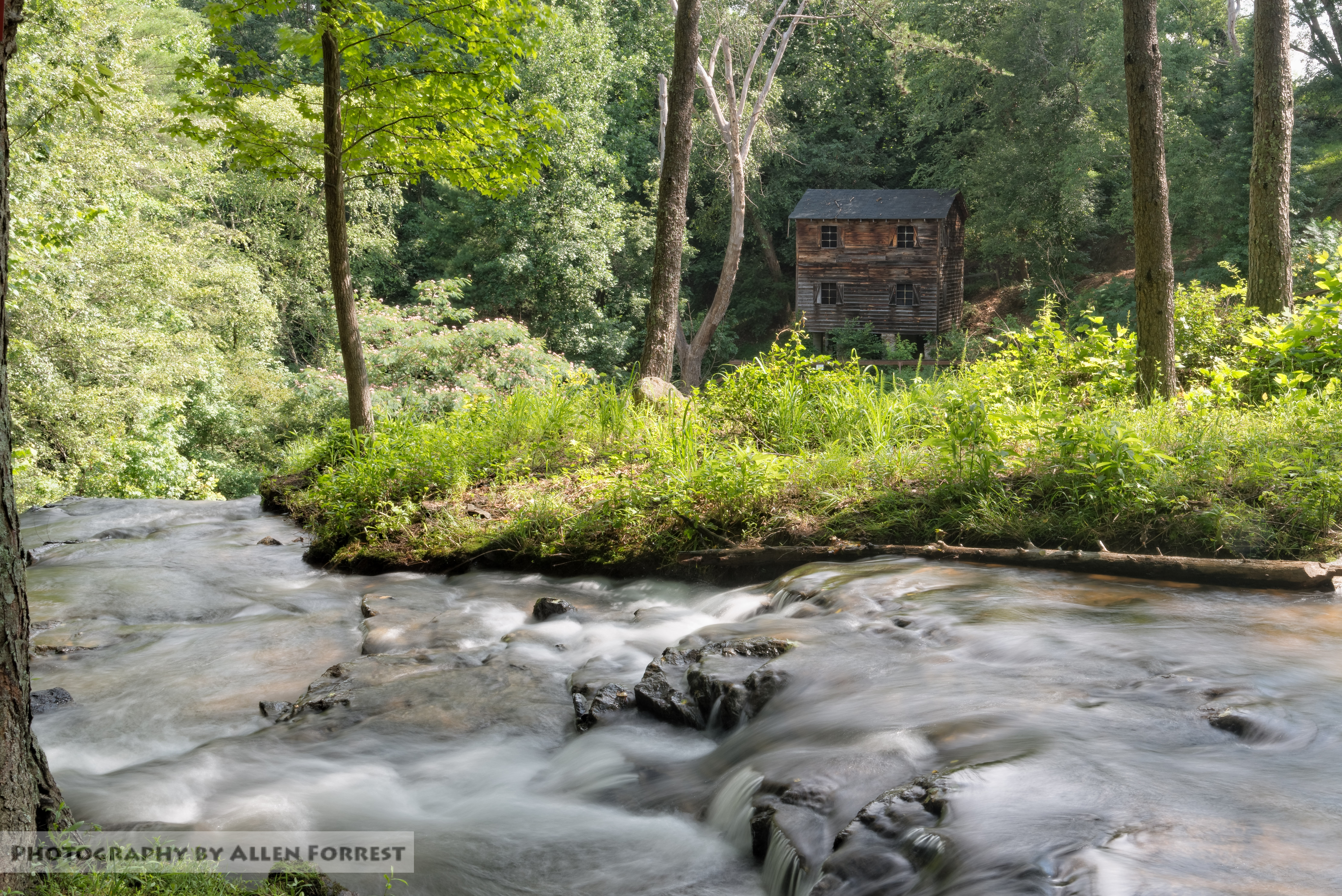
McGalliard Falls Water Wheel

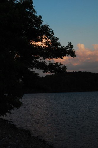
Fog on Lake Hickory on an unusually warm December day
Gentle Flows

Helping Proctor end of grade tests
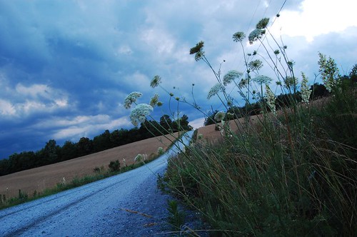
Sunday fun day!! Went hiking along Wilson Creek today

McGalliard Falls
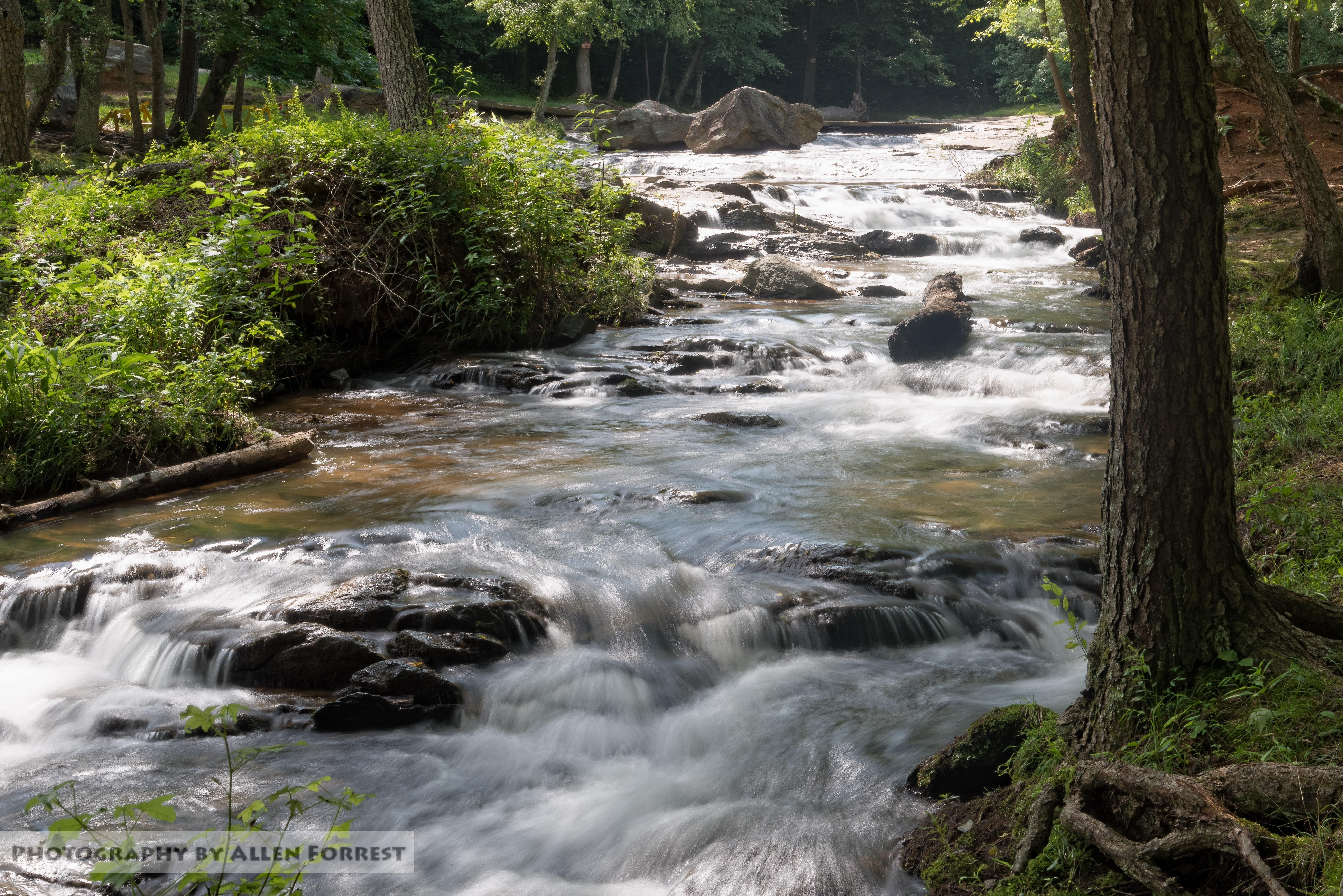
McGalliard Falls
Spinning Around, Upside Down
McGalliard Falls - 05

Fog on Lake Hickory on an unusually warm December day
McGalliard Falls
McGalliard Falls
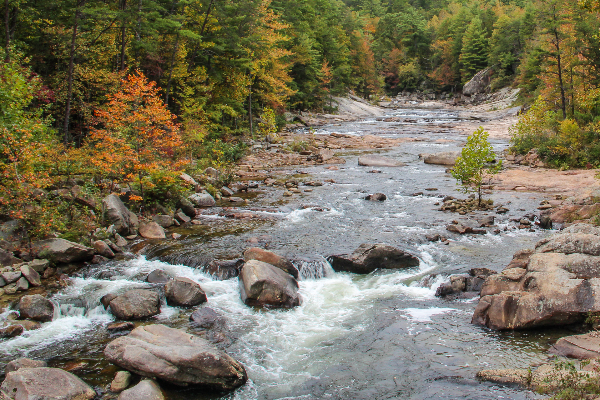
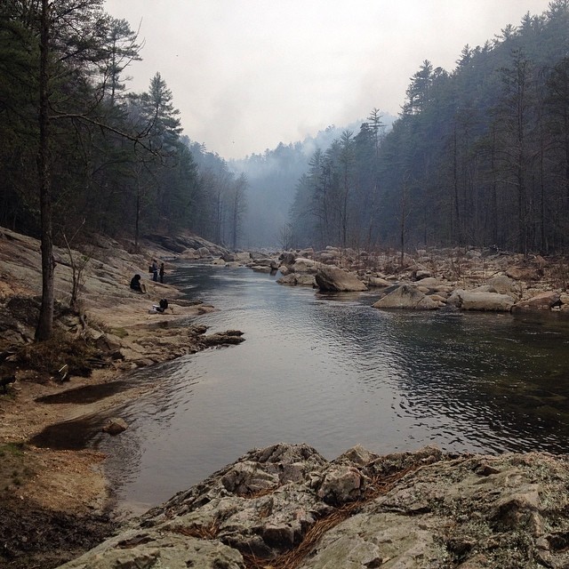
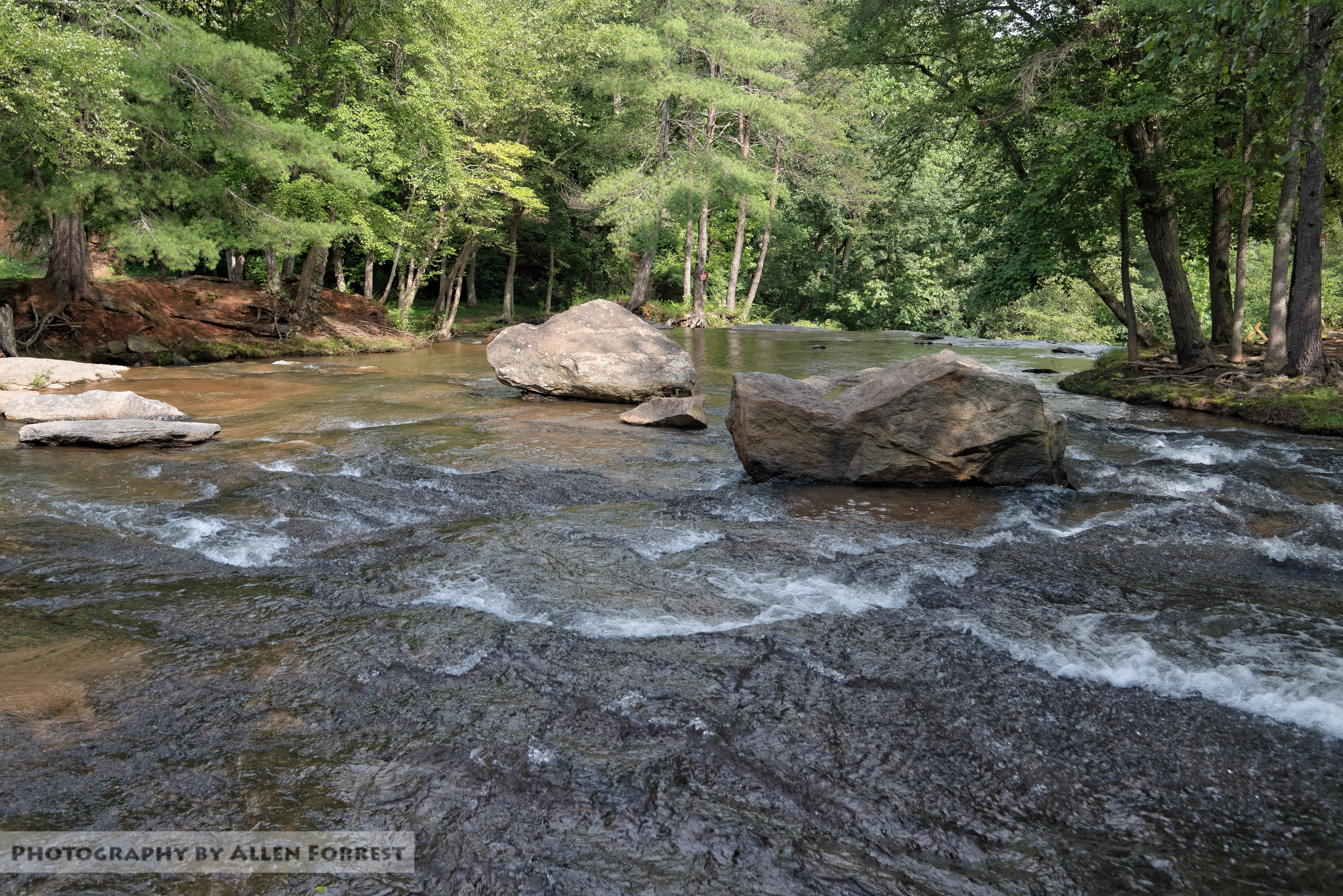
Wilson Creek Wild and Scenic River, North Carolina

Wilson Creek
McGalliard Falls - 03
McGalliard Falls - 08

McGalliard Falls
Topographic Map of Crump Rd, Lenoir, NC, USA
Find elevation by address:

Places near Crump Rd, Lenoir, NC, USA:
Gamewell
Brushy Pl SW, Lenoir, NC, USA
3067 Spencer Heights Dr
High West Drive
Lenoir
201 N Fairview Dr
1202 Honeycomb Pl
Abington Road
3980 Rocky Rd
4008 Rocky Rd
1314 Round Mountain Pkwy
Walnut Ridge Drive
Walnut Ridge Drive
2955 Alpine Ln
3479 Leprechaun Ln
3479 Leprechaun Ln
Red Cedar Way
1500 Red Cedar Way
2020 Ada Williams Ln
Low Country Road
Recent Searches:
- Elevation of Vista Blvd, Sparks, NV, USA
- Elevation of 15th Ave SE, St. Petersburg, FL, USA
- Elevation of Beall Road, Beall Rd, Florida, USA
- Elevation of Leguwa, Nepal
- Elevation of County Rd, Enterprise, AL, USA
- Elevation of Kolchuginsky District, Vladimir Oblast, Russia
- Elevation of Shustino, Vladimir Oblast, Russia
- Elevation of Lampiasi St, Sarasota, FL, USA
- Elevation of Elwyn Dr, Roanoke Rapids, NC, USA
- Elevation of Congressional Dr, Stevensville, MD, USA