Elevation of Crosshill Farm Tomaig, Tomaig Rd, Campbeltown PA28 6PE, UK
Location: United Kingdom > Argyll And Bute > Argyll >
Longitude: -5.613198
Latitude: 55.415326
Elevation: 68m / 223feet
Barometric Pressure: 101KPa
Elevation Map:
Satellite Map:
Related Photos:
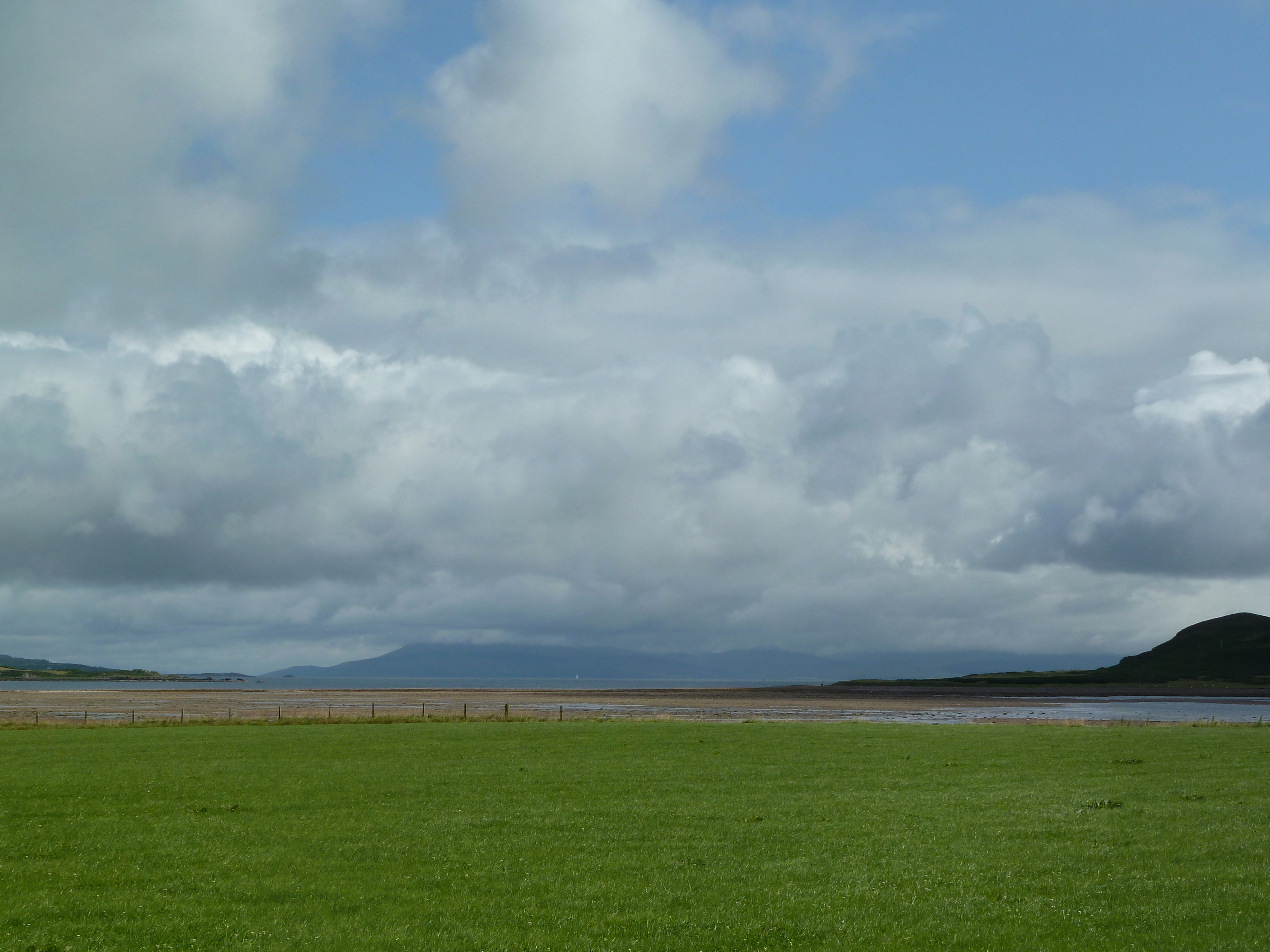
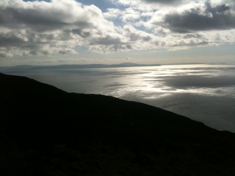
A View to Arran from Campbeltown, 24 June 2016
The Burnett building
Leaving Campbeltown
Glengyle distillery
A Glimpse of Antrim
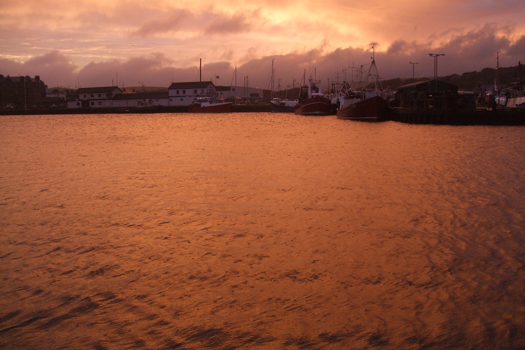
View of the port
Campbeltown Loch, I wish you were whisky...
Snowy toon
Icing sugar
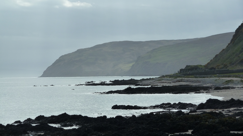
On the rocks
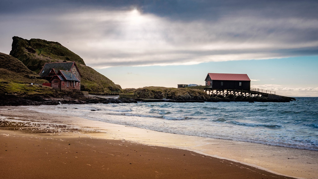
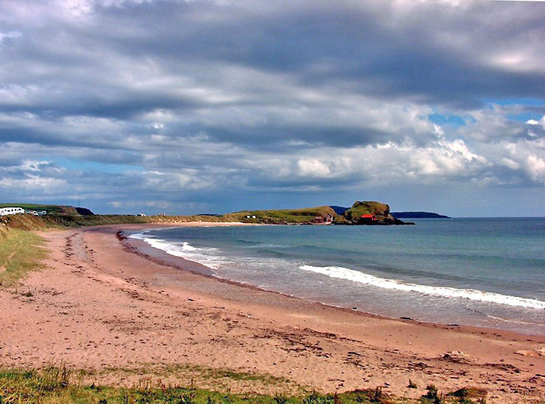
Machrihanish Beach
Toilets with a view
Wee church
Macrahanish View to the Isles
Machrihanish Beach
View from Saddell Castle
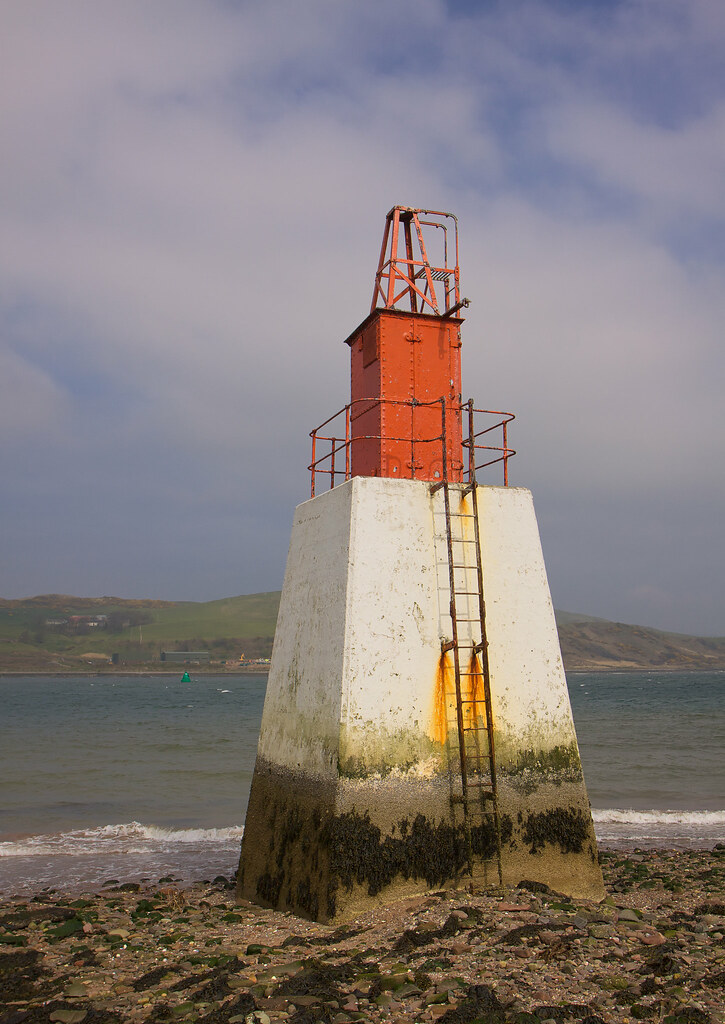
Dhorlin Beacon, Campbeltown Loch

View from Kildonan, Ballochgair
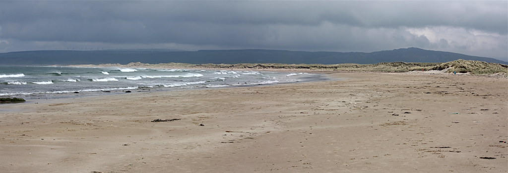
Machrihanish Beach
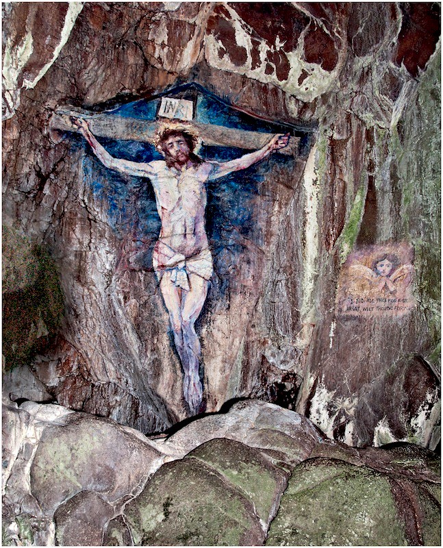
Davaar Island Cave Painting, Easter 2012
Golden Waters
Dunaverty Bay , Southend Beach , Mull Of Kintyre
Dunaverty Beach, Kintyre
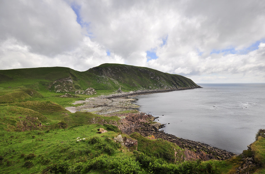
Bays and Headlands
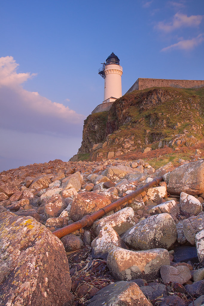
Davaar Island Lighthouse - 1
Davaar Island -- photo 2
Sunset at Machrihanish
Dunaverty, Southend

Dunaverty Bay, Southend
Islay Jura Westport
Davaar Island, causeway, grass -- photo 3

2016-05-28 18.15.01
Sanda Island

Crosshill Loch and Davaar

Viewpoint North of Westport on A83
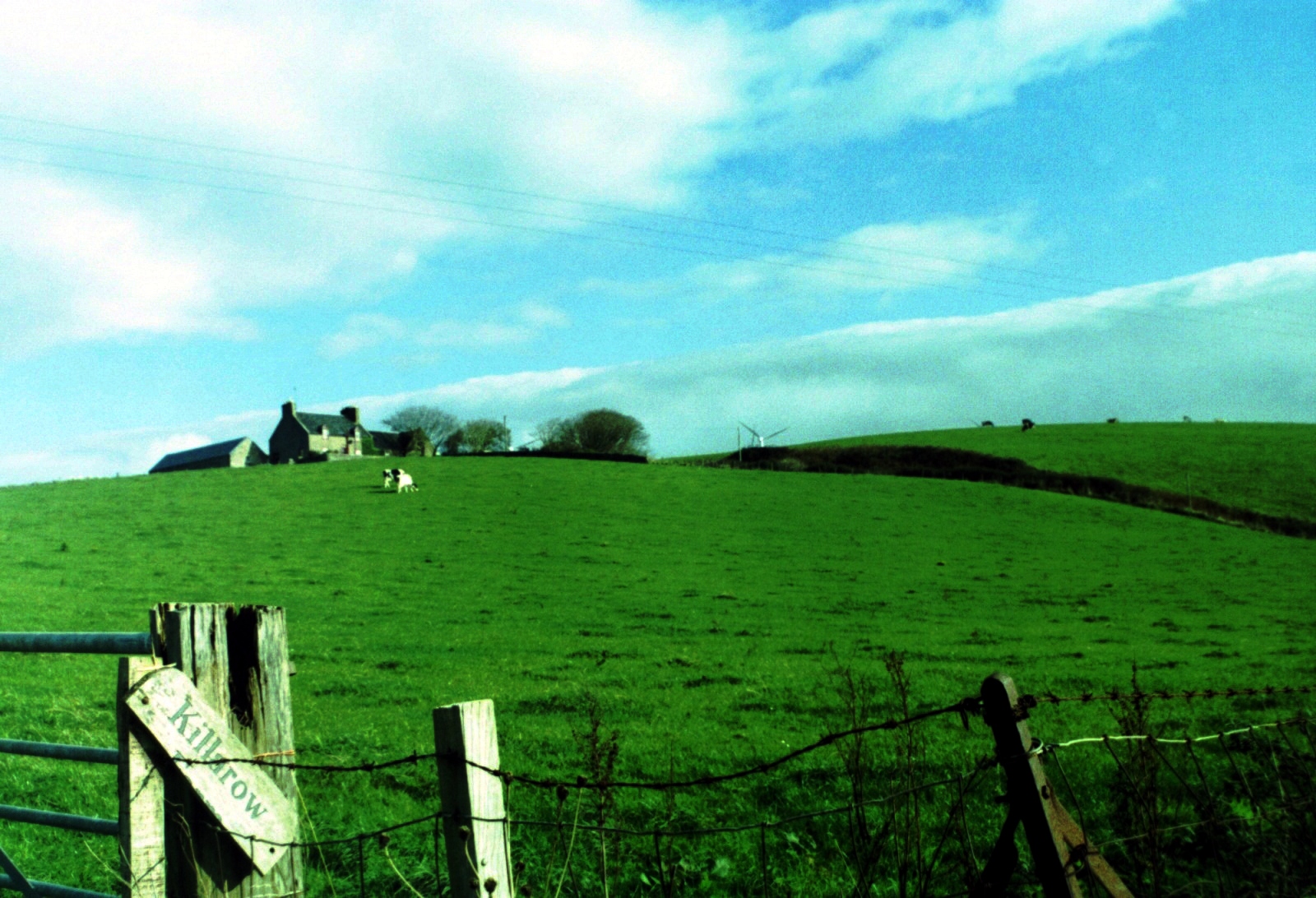
Killarow Farm, Kintyre
Sur la route de Mull of Kintyre - Ecosse - avril 2013
Ireland from Mull of Kintyre

Viewpoint North of Westport on A83

Viewpoint North of Westport on A83
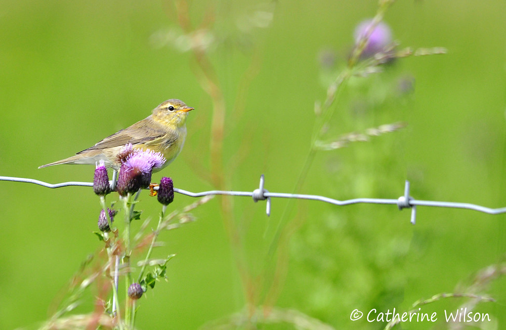
Willow warbler
Topographic Map of Crosshill Farm Tomaig, Tomaig Rd, Campbeltown PA28 6PE, UK
Find elevation by address:

Places near Crosshill Farm Tomaig, Tomaig Rd, Campbeltown PA28 6PE, UK:
Pa28 6ab
Campbeltown
The Ross
Ka27 8hj
Lochranza
Isle Of Arran
Goatfell
1 Benlister Cottages, Lamlash, Isle of Arran KA27 8NT, UK
Brodick
Ka27 8rq
Lamlash
Dippin House
Whiting Bay
Ka27 8rn
Ailsa Craig
Dippen
Achahoish
Ardrishaig
Isle Of Bute
Crinan
Recent Searches:
- Elevation of Shibuya Scramble Crossing, 21 Udagawacho, Shibuya City, Tokyo -, Japan
- Elevation of Jadagoniai, Kaunas District Municipality, Lithuania
- Elevation of Pagonija rock, Kranto 7-oji g. 8"N, Kaunas, Lithuania
- Elevation of Co Rd 87, Jamestown, CO, USA
- Elevation of Tenjo, Cundinamarca, Colombia
- Elevation of Côte-des-Neiges, Montreal, QC H4A 3J6, Canada
- Elevation of Bobcat Dr, Helena, MT, USA
- Elevation of Zu den Ihlowbergen, Althüttendorf, Germany
- Elevation of Badaber, Peshawar, Khyber Pakhtunkhwa, Pakistan
- Elevation of SE Heron Loop, Lincoln City, OR, USA