Elevation of Cross Valley Rd, LaFollette, TN, USA
Longitude: -84.027874
Latitude: 36.4342783
Elevation: 358m / 1175feet
Barometric Pressure: 97KPa
Elevation Map:
Satellite Map:
Related Photos:
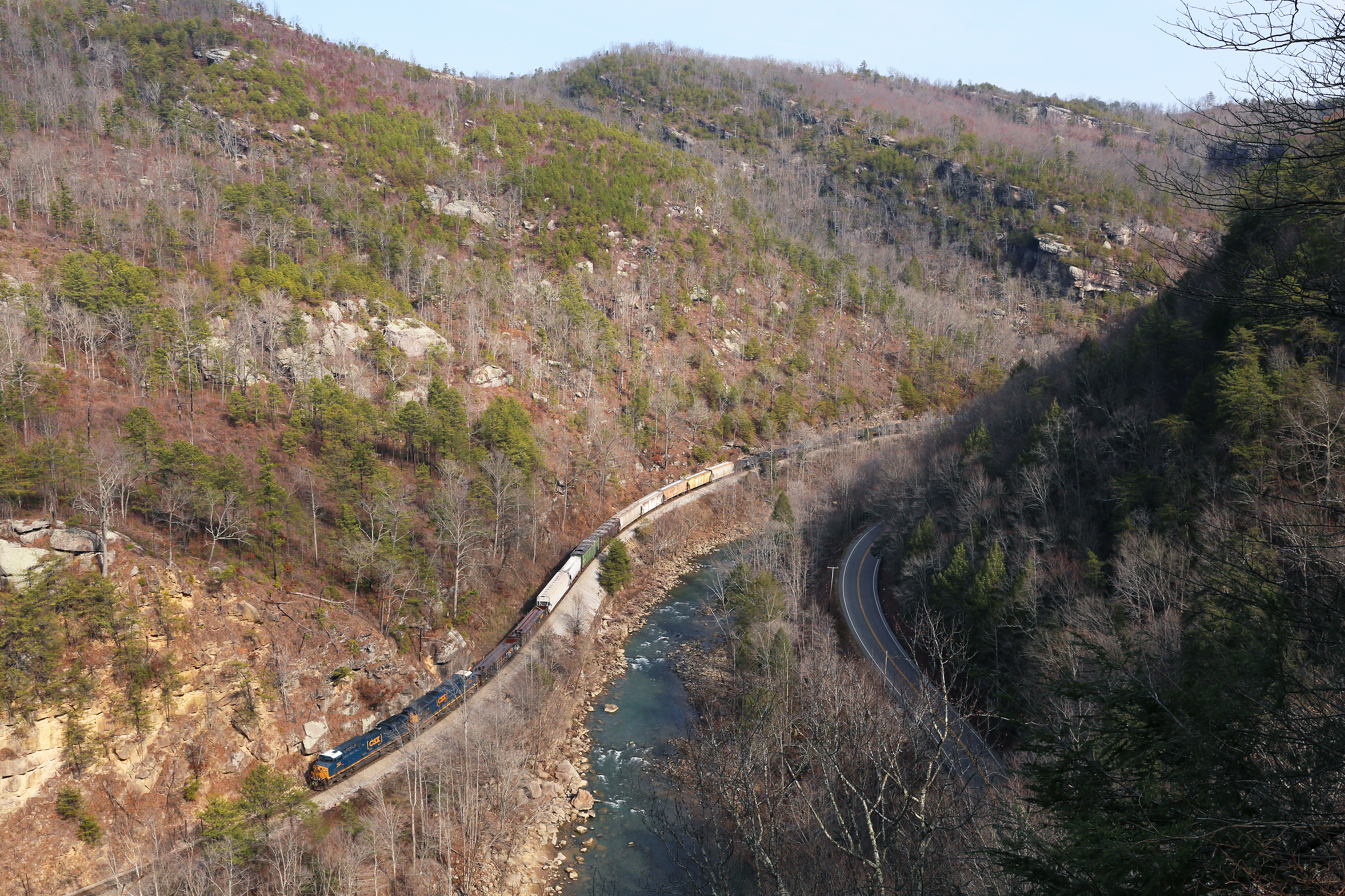
The Narrows

18-255P

Tennessee Barn

Tennessee Royal Crown Cola Sign

18-256P

18-257P

View from the crowd

"Helpers" by Holton

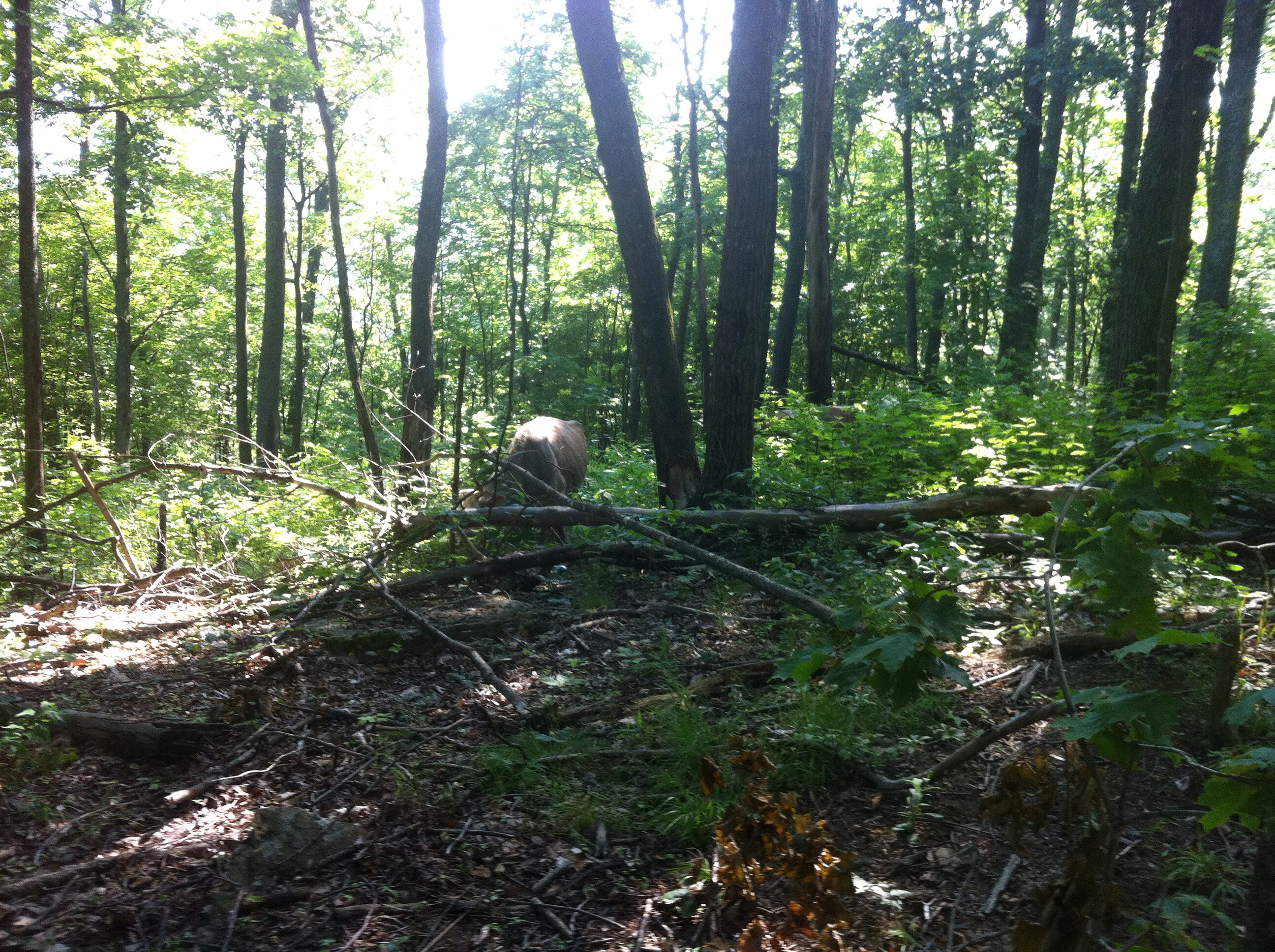
Lake life

Norris Lake

Bear's Den Spring

Island on the Lake

Sunset at Hatfield Knob

Sunset on the lake. #norrislake #sunset #lake #summer #boat #boating #norris #soludosendlesssummer

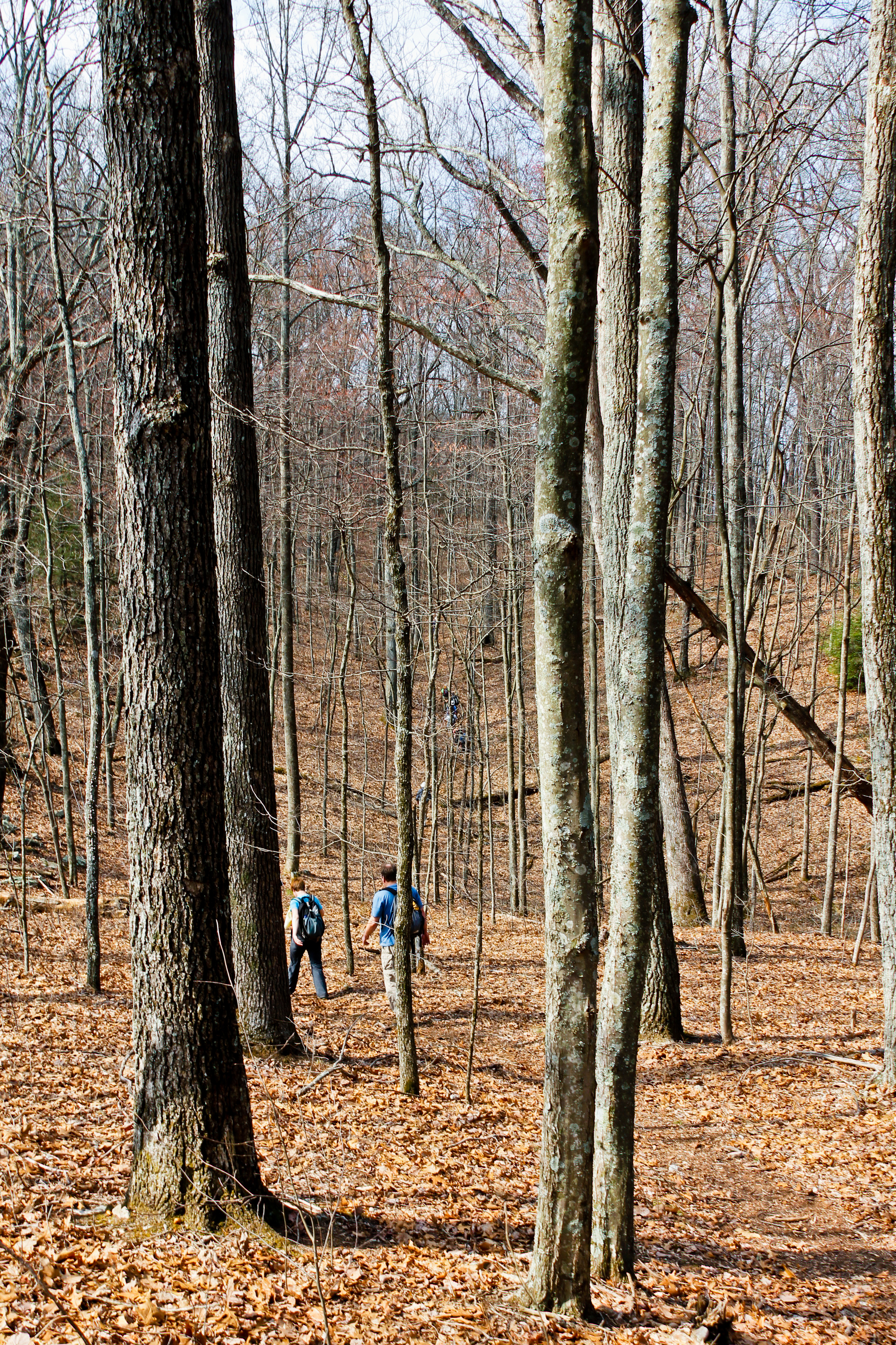
Through the Trees

Cumberland Mountain segment of the Cumberland Trail

Flat Hollow Marina, Norris Lake, Tennessee
Cumberland Trail - Cumberland Mountain Segment

Cumberland Mountain segment of the Cumberland Trail

Norris Lake Sunrise

Cumberland Mountain segment of the Cumberland Trail

Cumberland Trail - Cumberland Mountain Segment
atv ride in TN

atv ride in TN

Cumberland Mountain segment of the Cumberland Trail
Topographic Map of Cross Valley Rd, LaFollette, TN, USA
Find elevation by address:

Places near Cross Valley Rd, LaFollette, TN, USA:
1013 Cross Valley Rd
LaFollette, TN, USA
Duff
330 Davis Chapel Rd
Habersham Rd, Duff, TN, USA
S Hwy 25, LaFollette, TN, USA
5075 Hwy 25
121 Hickory Hill Cir
N Hwy 25, Duff, TN, USA
Knotty Pine Ln, Duff, TN, USA
Old Stinking Creek Road
1801 Melvin Hollow Rd
1503 Melvin Hollow Rd
Rarity Mountain Road
Stinking Creek Road
4292 Tn-297
Elk Valley
335 Campbell Highlands Dr
Pioneer
Recent Searches:
- Elevation of Congressional Dr, Stevensville, MD, USA
- Elevation of Bellview Rd, McLean, VA, USA
- Elevation of Stage Island Rd, Chatham, MA, USA
- Elevation of Shibuya Scramble Crossing, 21 Udagawacho, Shibuya City, Tokyo -, Japan
- Elevation of Jadagoniai, Kaunas District Municipality, Lithuania
- Elevation of Pagonija rock, Kranto 7-oji g. 8"N, Kaunas, Lithuania
- Elevation of Co Rd 87, Jamestown, CO, USA
- Elevation of Tenjo, Cundinamarca, Colombia
- Elevation of Côte-des-Neiges, Montreal, QC H4A 3J6, Canada
- Elevation of Bobcat Dr, Helena, MT, USA