Elevation of Crooks Creek Rd, Selma, OR, USA
Location: United States > Oregon > Josephine County > Selma >
Longitude: -123.49426
Latitude: 42.296005
Elevation: 684m / 2244feet
Barometric Pressure: 93KPa
Elevation Map:
Satellite Map:
Related Photos:
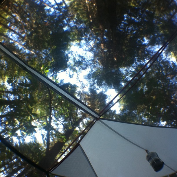
View from bed

Gray Hairstreak (Strymon melinus)
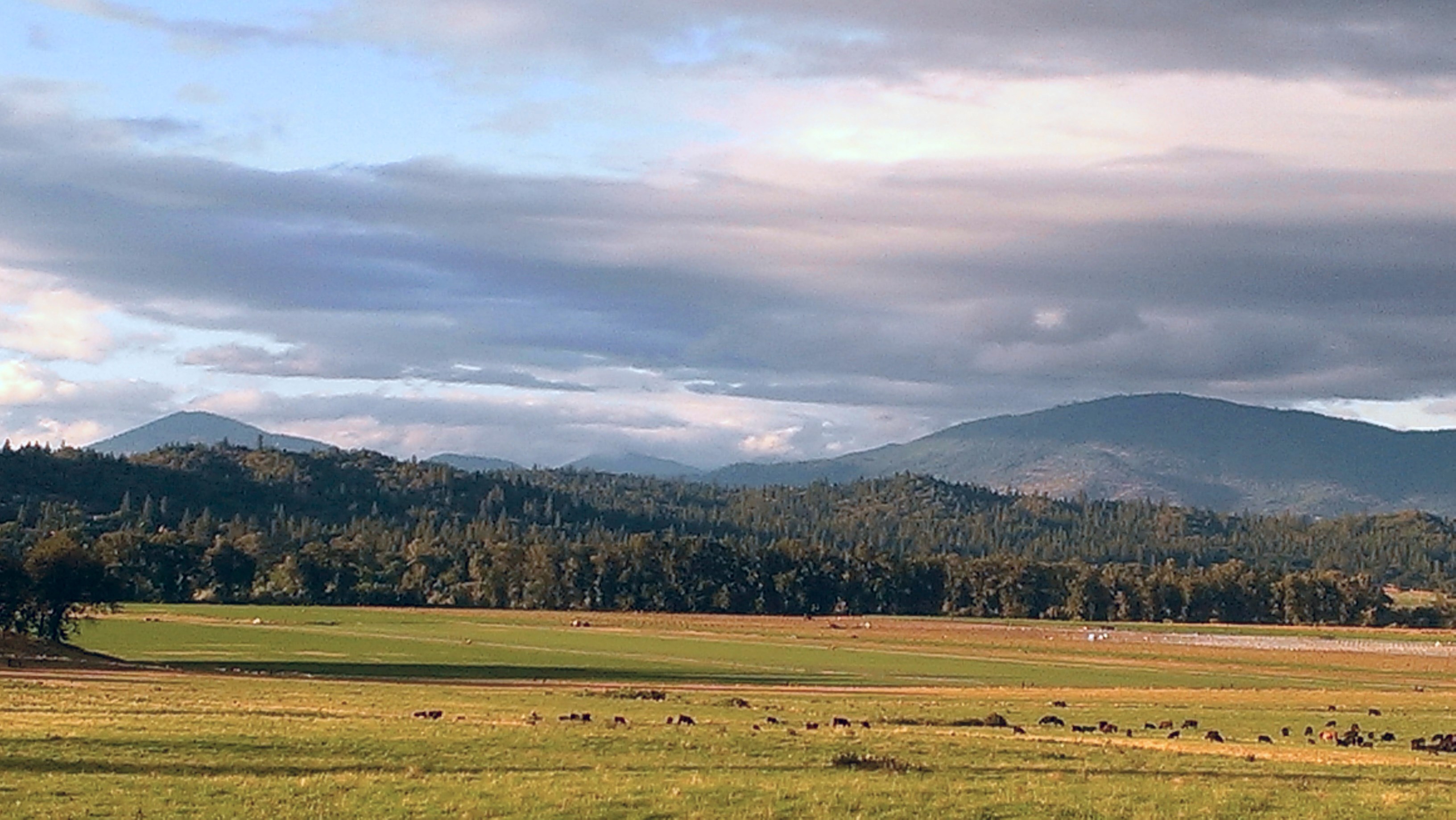
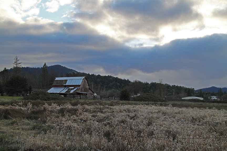
Dinsdale Farm
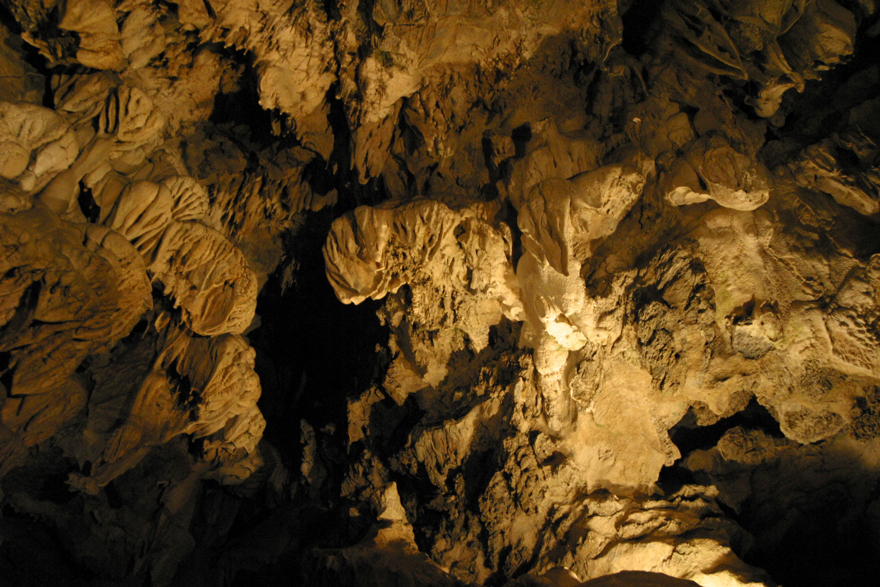
Image 03954.
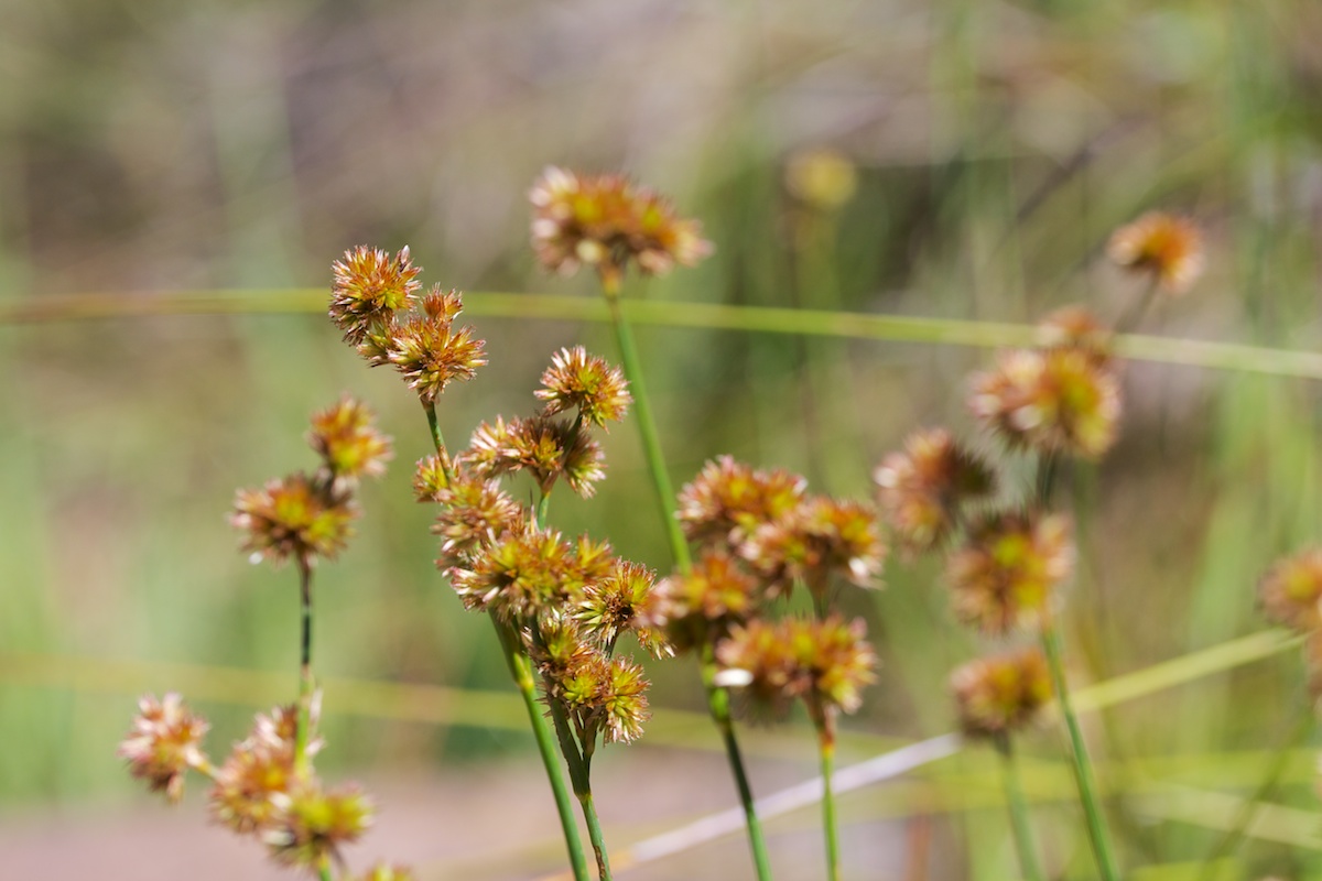
Juncus ensifolius (Juncaceae); Sword-leaved rush
Image 03926.
California Pitcher Plant fen

EIGHT DOLLAR MOUNTAIN Collage

Mountain Bluebird - Selma Oregon
Image 03974.

Mystic in the Trees Selma Oregon MichaelOlsen/ZorkMagazine
Rogue River Grants Pass Or. MichaelOlsen/ZorkMagazine
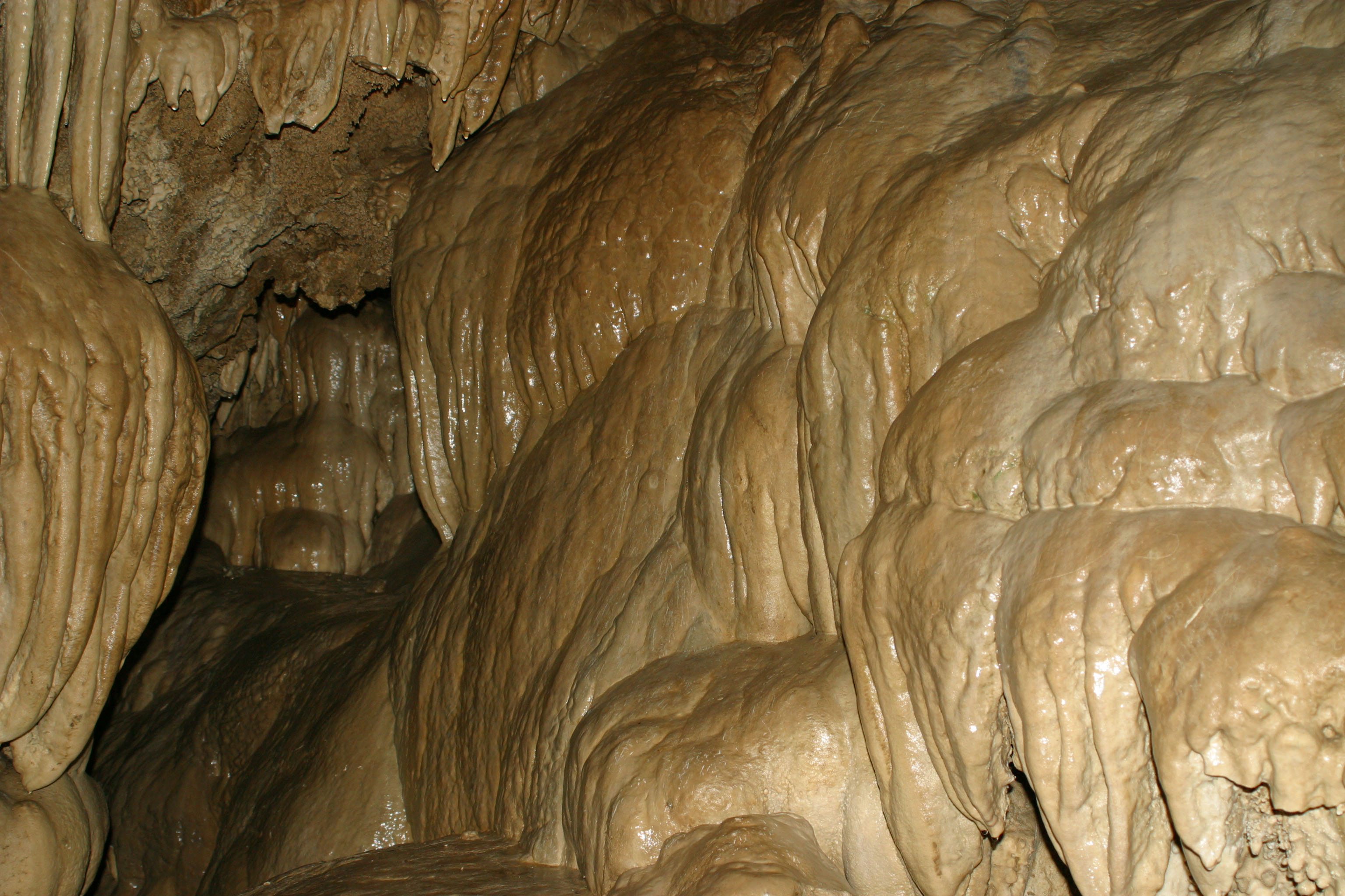
Image 03960.
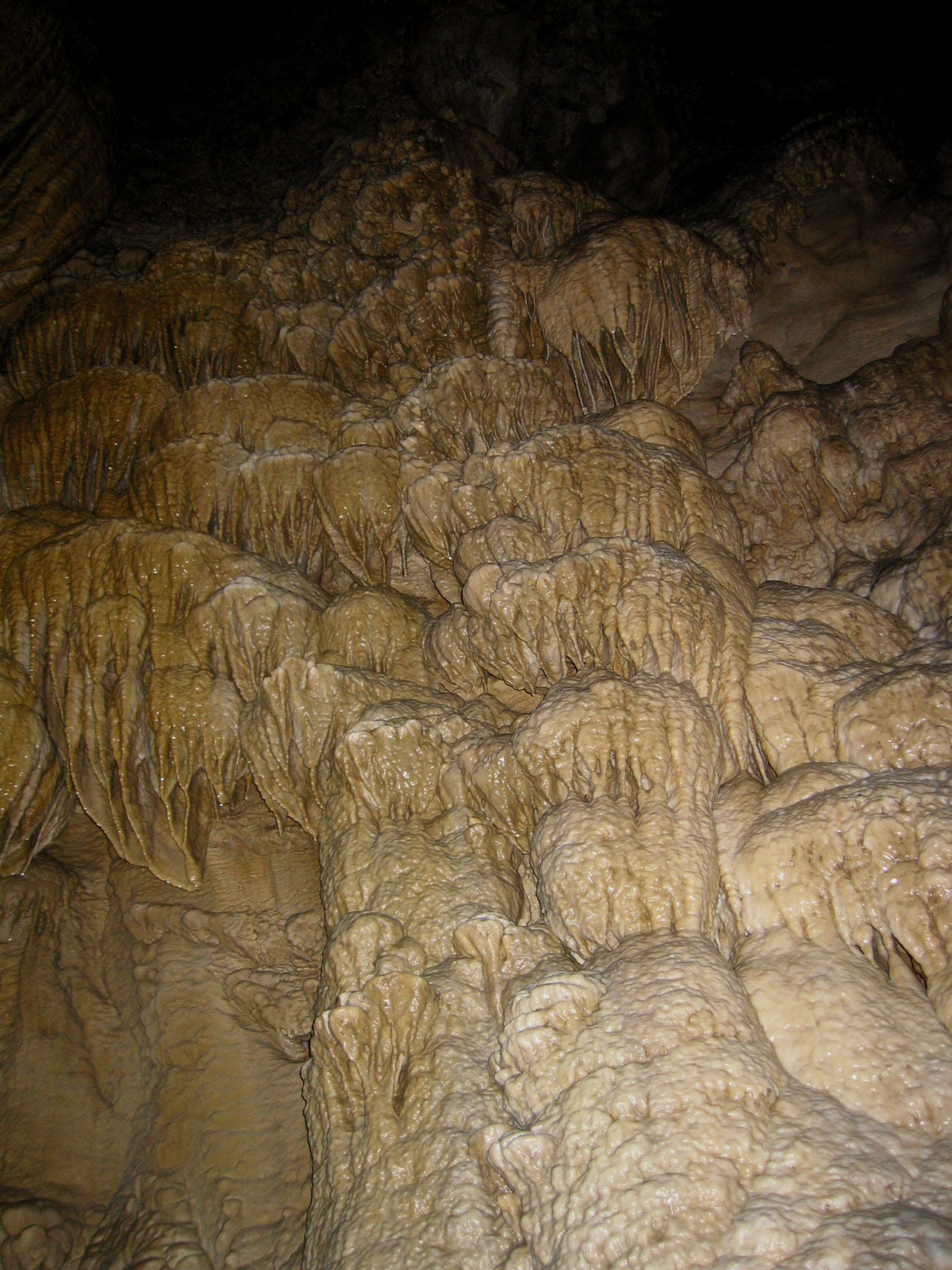
Image 03980.
Barn Southwest of Grants Pass, Or
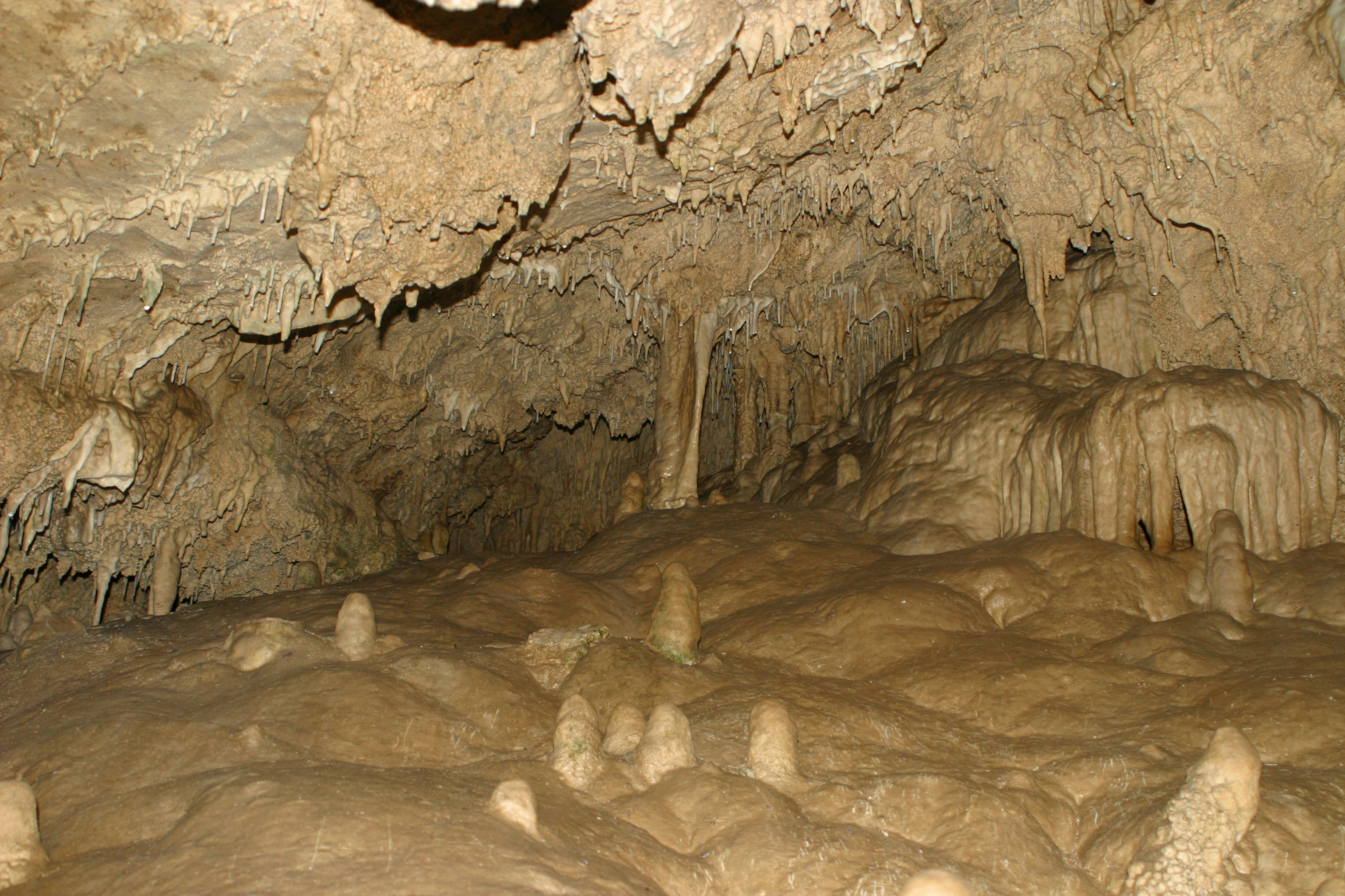
Image 03962.
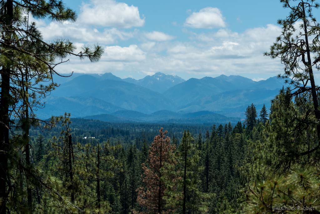
Siskiyou Mountains
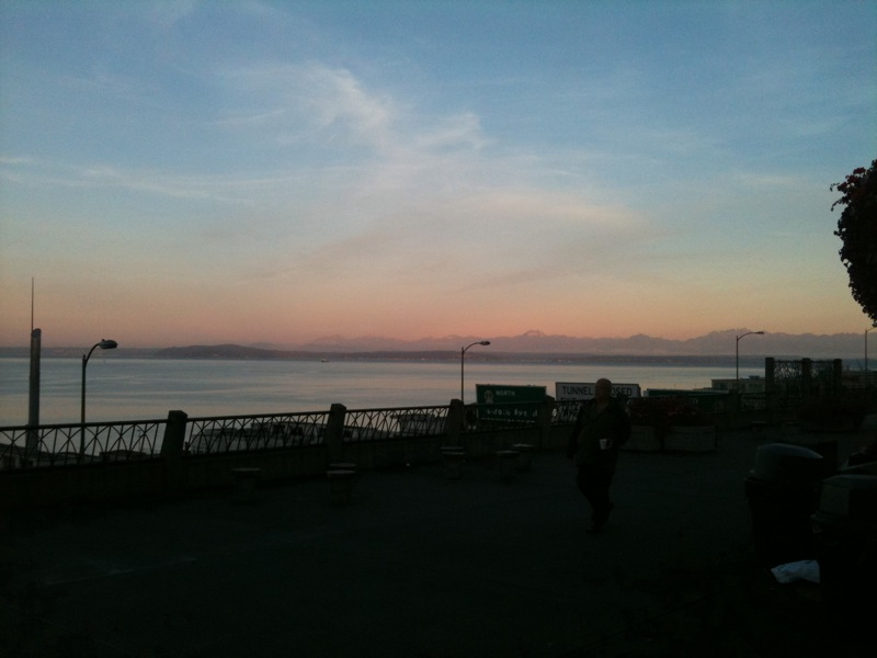
Pike market
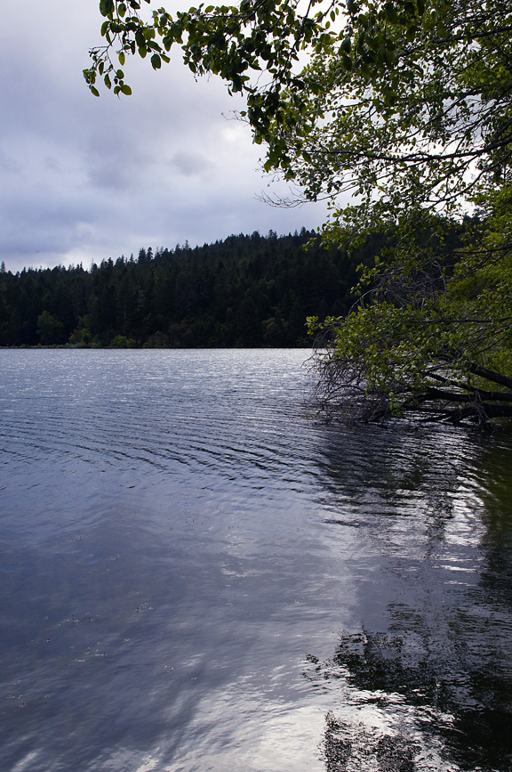
Selmac Shoreline Reflections - May 2011
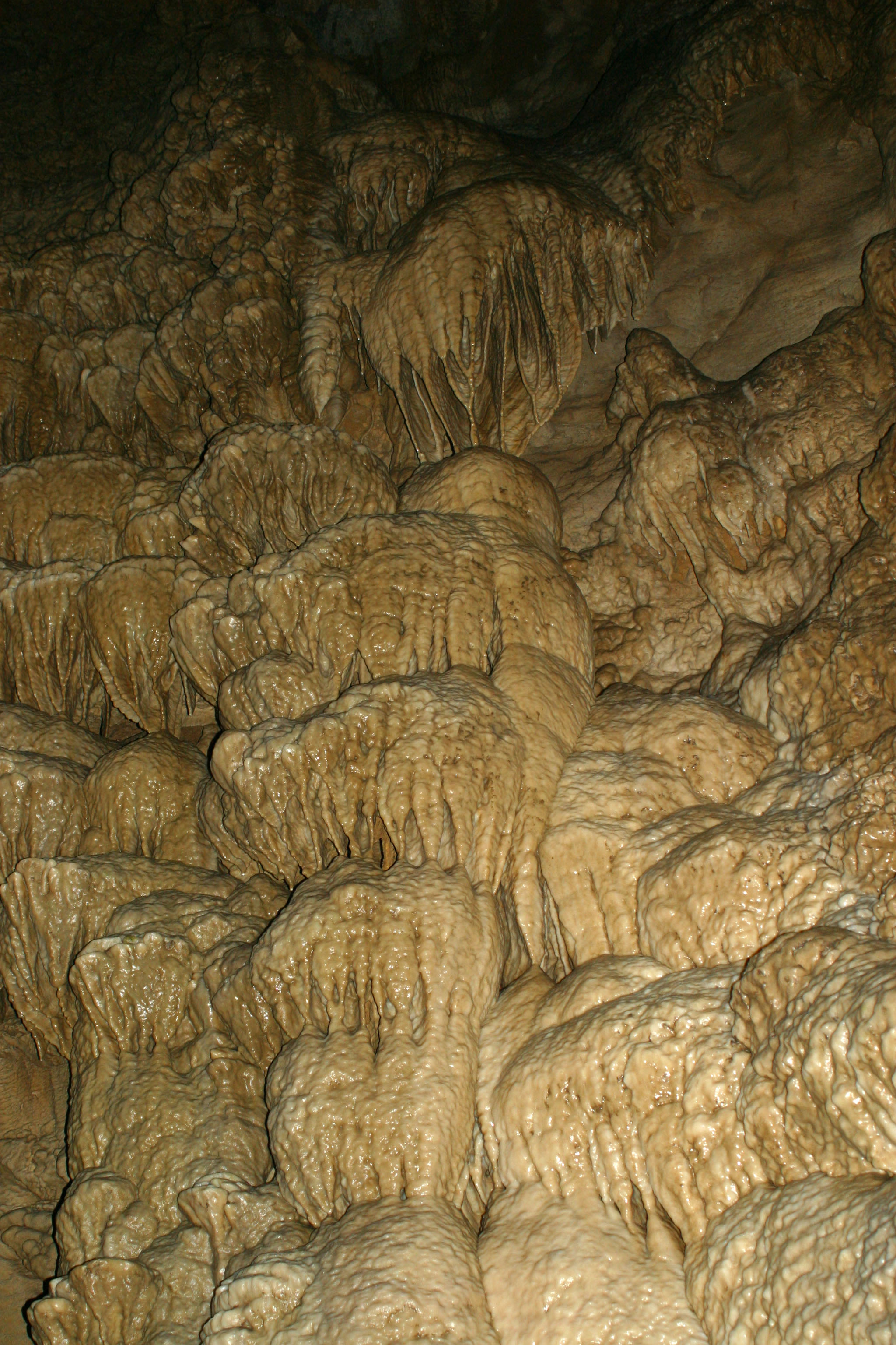
Image 03976.
Copper Canyon Railway
Image 03938.
Topographic Map of Crooks Creek Rd, Selma, OR, USA
Find elevation by address:

Places near Crooks Creek Rd, Selma, OR, USA:
5201 Lakeshore Dr
110 Crooks Creek Rd
Dryden
Lakeshore Dr, Selma, OR, USA
5050 Lakeshore Dr
4882 Lakeshore Dr
10 Bull Creek Rd
Josephine County
4260 Lakeshore Dr
1660 Thompson Creek Rd
1050 Bull Creek Rd
Lake Selmac Resort
383 Dexter Way
115 Butcher Knife Creek Rd
305 Dexter Way
Fish Hatchery Road
414 Colin Rd
456 Felkner Rd
1921 Reeves Creek Rd
2600 Draper Valley Rd
Recent Searches:
- Elevation of Elwyn Dr, Roanoke Rapids, NC, USA
- Elevation of Congressional Dr, Stevensville, MD, USA
- Elevation of Bellview Rd, McLean, VA, USA
- Elevation of Stage Island Rd, Chatham, MA, USA
- Elevation of Shibuya Scramble Crossing, 21 Udagawacho, Shibuya City, Tokyo -, Japan
- Elevation of Jadagoniai, Kaunas District Municipality, Lithuania
- Elevation of Pagonija rock, Kranto 7-oji g. 8"N, Kaunas, Lithuania
- Elevation of Co Rd 87, Jamestown, CO, USA
- Elevation of Tenjo, Cundinamarca, Colombia
- Elevation of Côte-des-Neiges, Montreal, QC H4A 3J6, Canada