Elevation of Crook, CO, USA
Location: United States > Colorado > Logan County >
Longitude: -102.80102
Latitude: 40.8588799
Elevation: 1129m / 3704feet
Barometric Pressure: 88KPa
Elevation Map:
Satellite Map:
Related Photos:

Derek Weingardt

Orchard Oriole
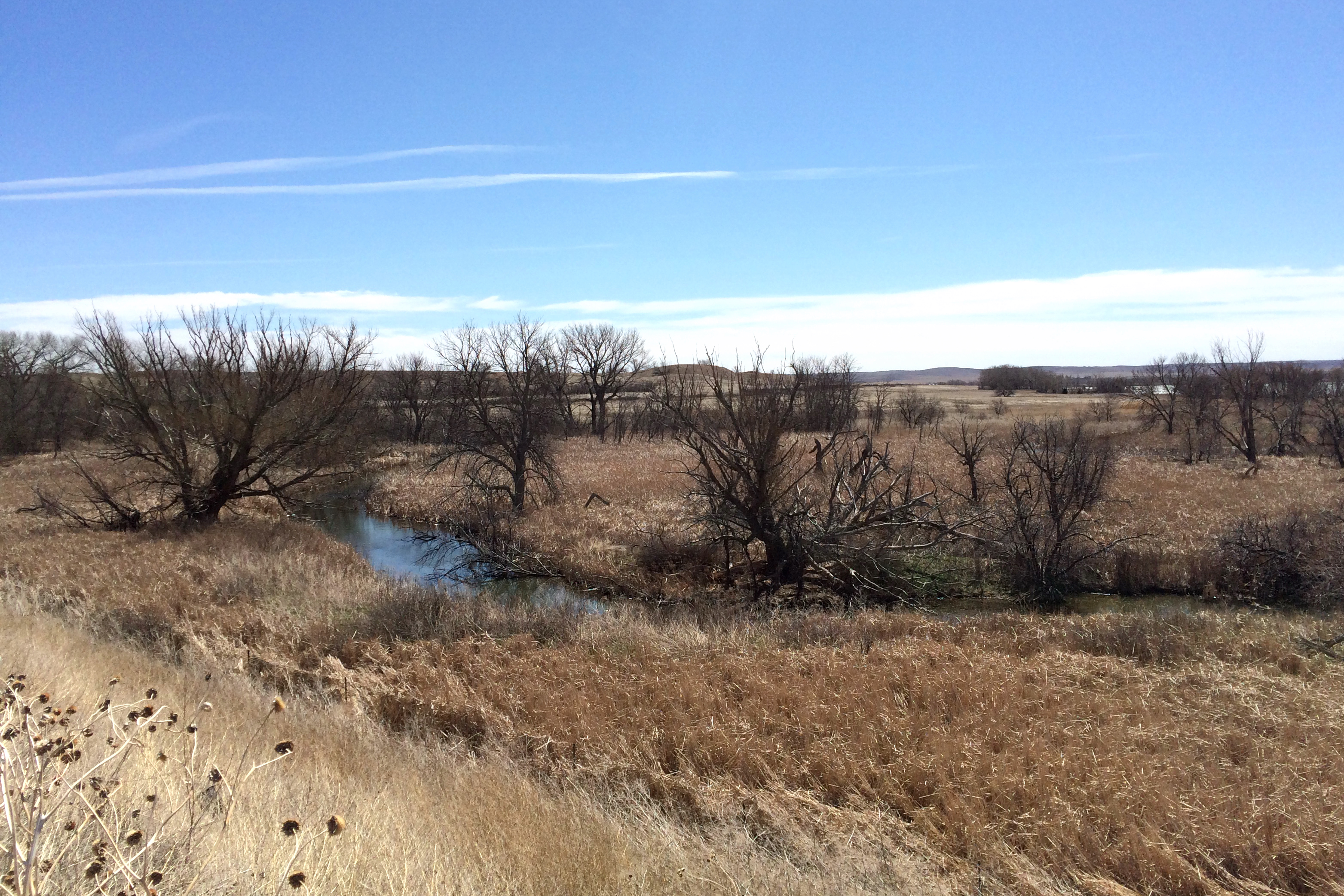
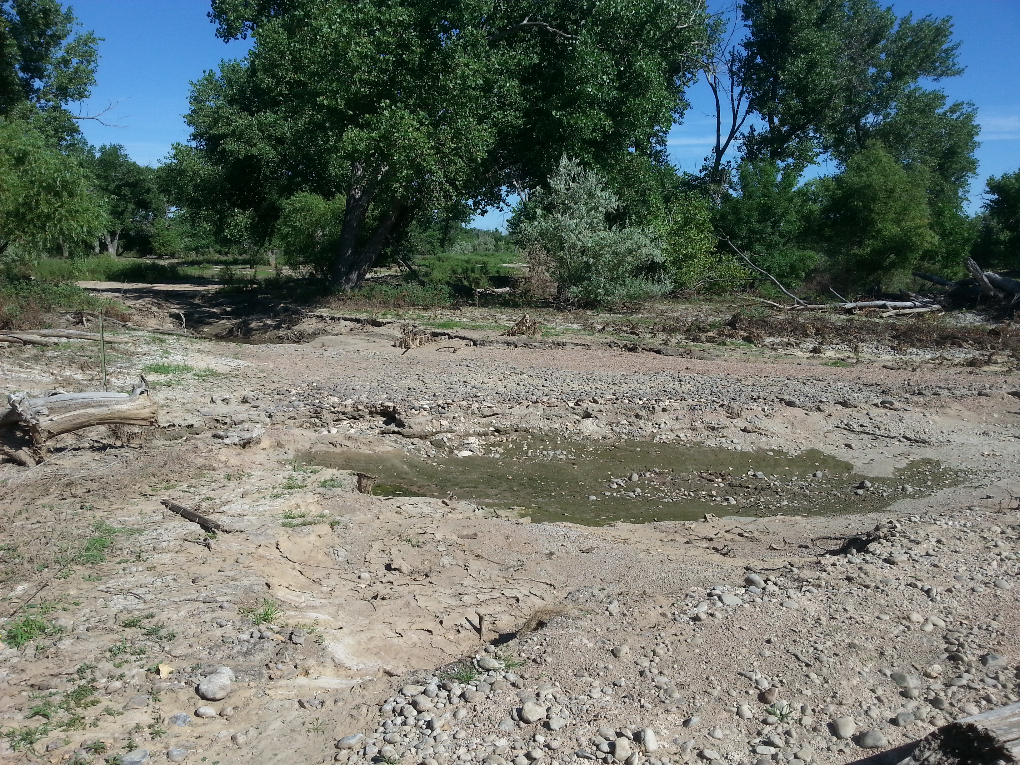
Jumbo Reservoir

First drops on the windshield
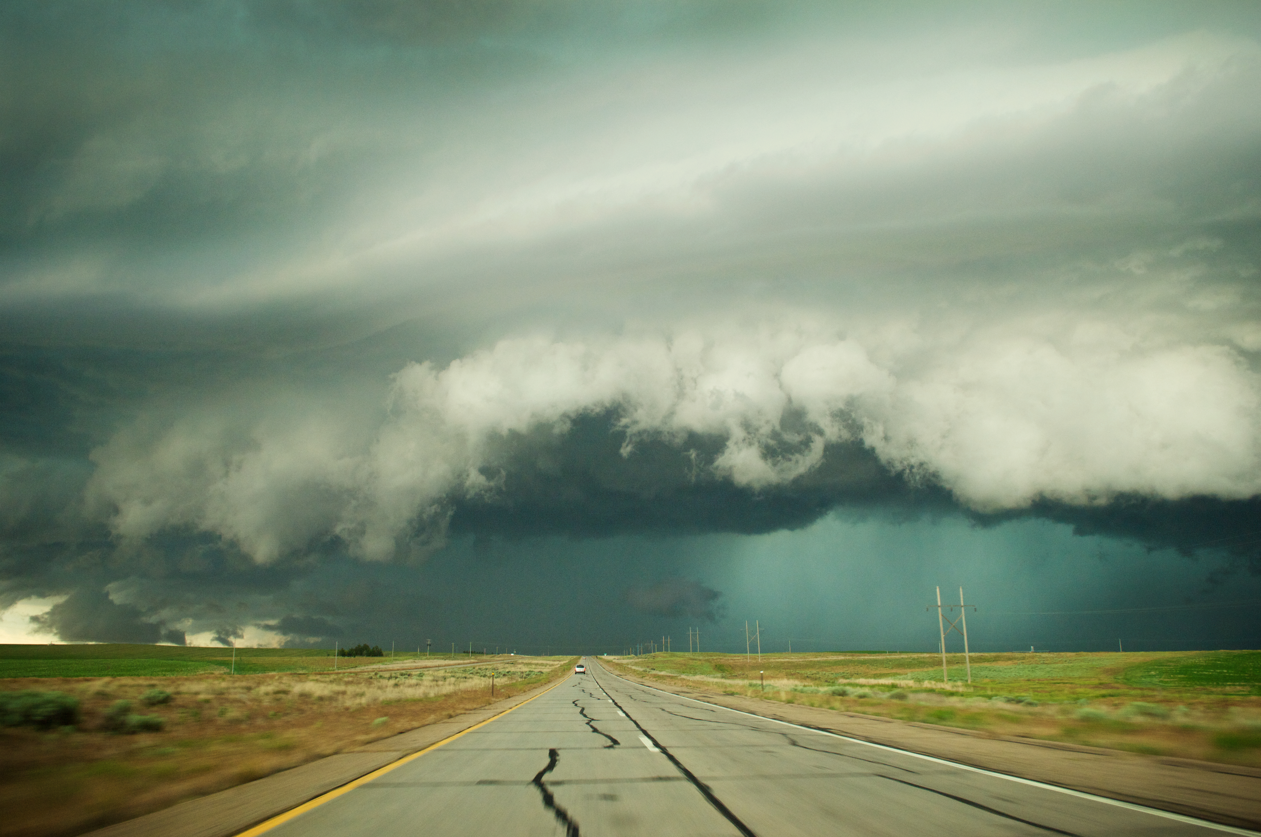
Heading Into the Storm

Truck_090311_LR-67.jpg

Truck_090311_LR-69.jpg

Truck_090311_LR-68.jpg
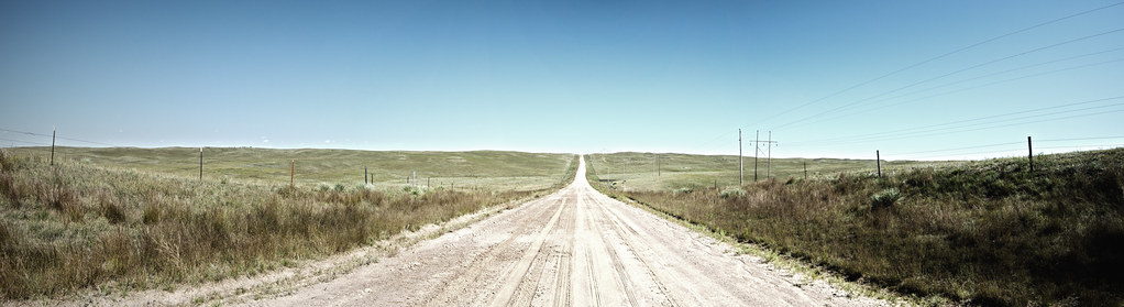
Dusty Road in Eastern Colorado

AT LAST
EstablishingShot - Logan County CO - December 2015
tamarack 031
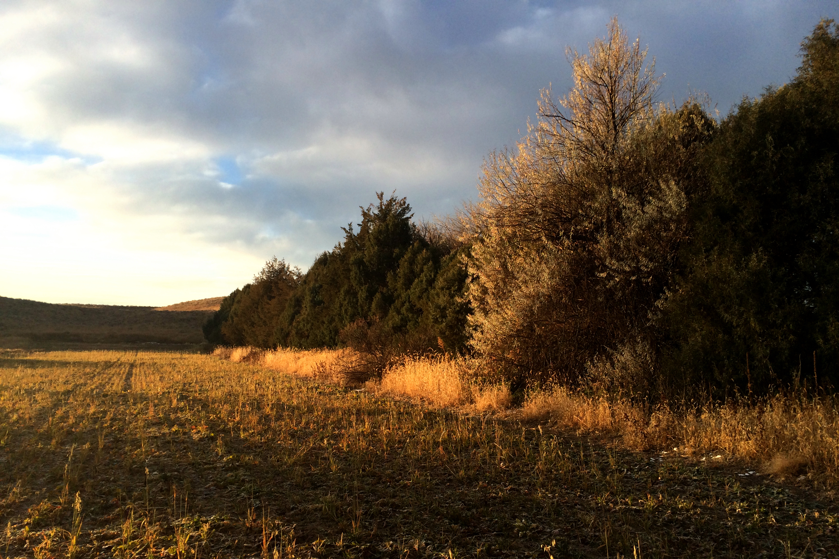
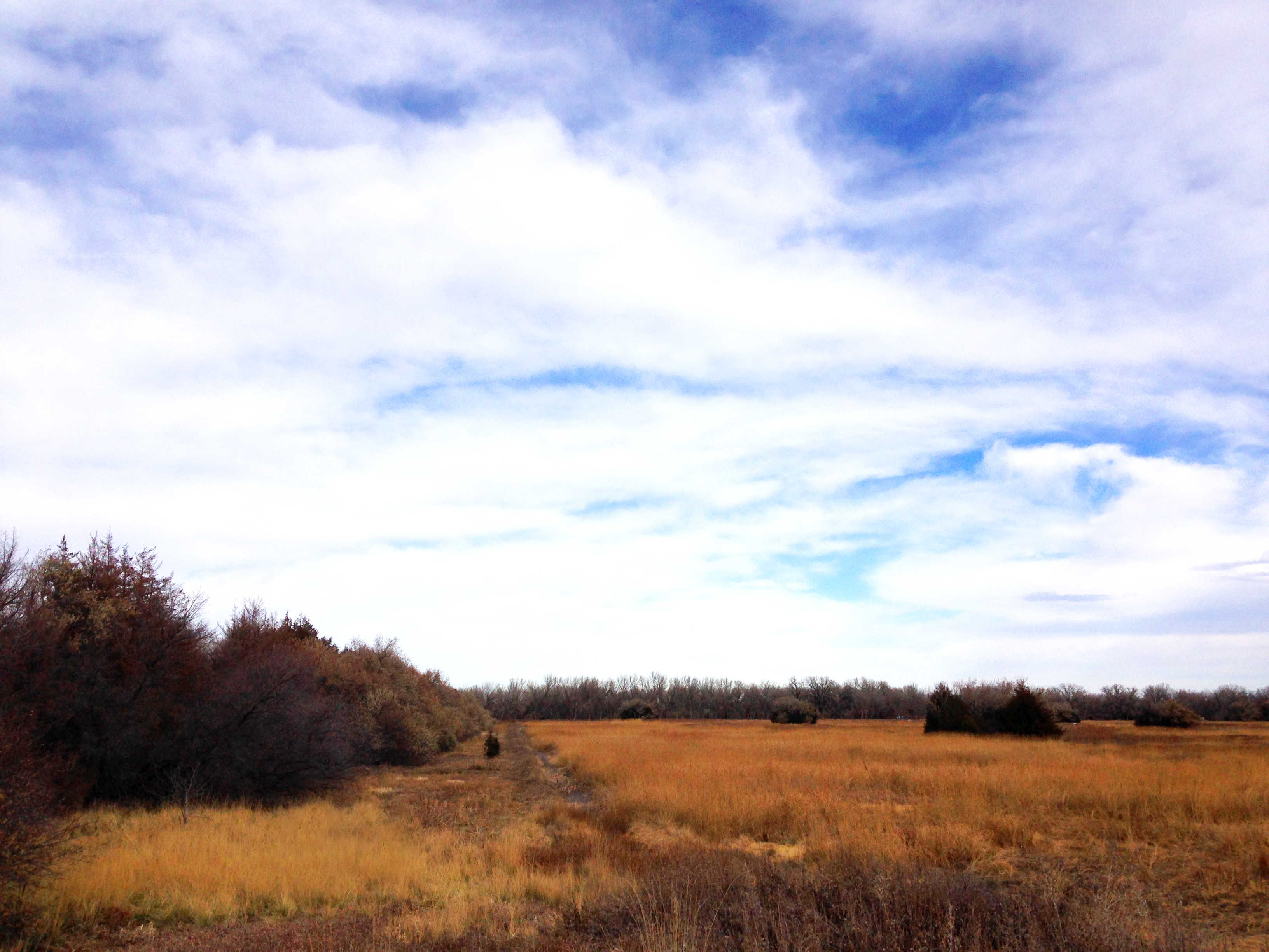
Tamarack Ranch

Lark Bunting
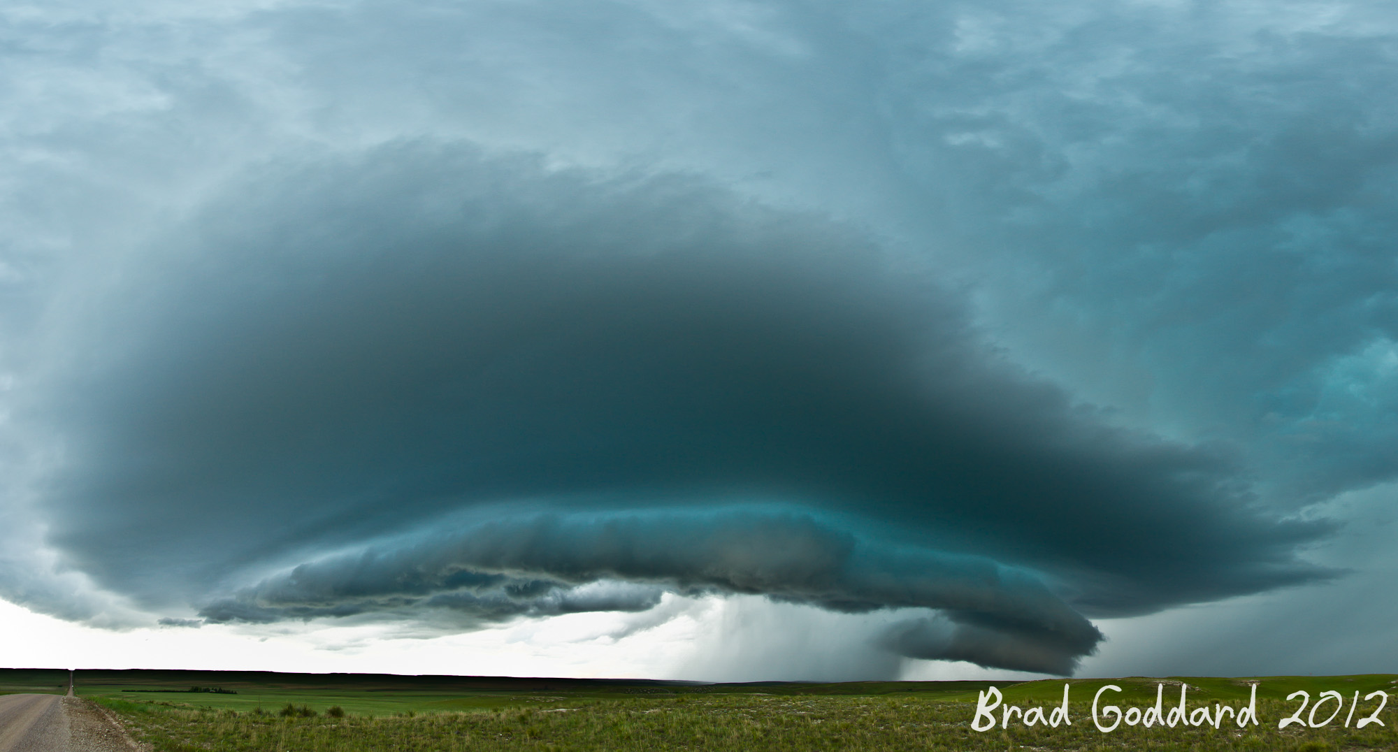
Colorado High Planes Storm

Upland Sandpiper

Upland Sandpiper

Red Lion SWA
Topographic Map of Crook, CO, USA
Find elevation by address:

Places in Crook, CO, USA:
Places near Crook, CO, USA:
US-, Crook, CO, USA
County Rd 65.3, Iliff, CO, USA
US-, Iliff, CO, USA
Cabela Drive
Logan St, Peetz, CO, USA
Peetz
19th Ave, Sidney, NE, USA
Sidney
911 13th Ave
US-, Sidney, NE, USA
Lodgepole
3rd, Sidney, NE, USA
Cheyenne County
Morrill County
Co Rd, Stoneham, CO, USA
Bridgeport
West Camp Clarke
Kimball County
Rd E, Kimball, NE, USA
Kimball County Courthouse
Recent Searches:
- Elevation of Elwyn Dr, Roanoke Rapids, NC, USA
- Elevation of Congressional Dr, Stevensville, MD, USA
- Elevation of Bellview Rd, McLean, VA, USA
- Elevation of Stage Island Rd, Chatham, MA, USA
- Elevation of Shibuya Scramble Crossing, 21 Udagawacho, Shibuya City, Tokyo -, Japan
- Elevation of Jadagoniai, Kaunas District Municipality, Lithuania
- Elevation of Pagonija rock, Kranto 7-oji g. 8"N, Kaunas, Lithuania
- Elevation of Co Rd 87, Jamestown, CO, USA
- Elevation of Tenjo, Cundinamarca, Colombia
- Elevation of Côte-des-Neiges, Montreal, QC H4A 3J6, Canada