Elevation of Croix de Culet, Champéry, Switzerland
Location: Switzerland > Valais > Monthey > Champéry >
Longitude: 6.845417
Latitude: 46.175556
Elevation: 1956m / 6417feet
Barometric Pressure: 80KPa
Elevation Map:
Satellite Map:
Related Photos:
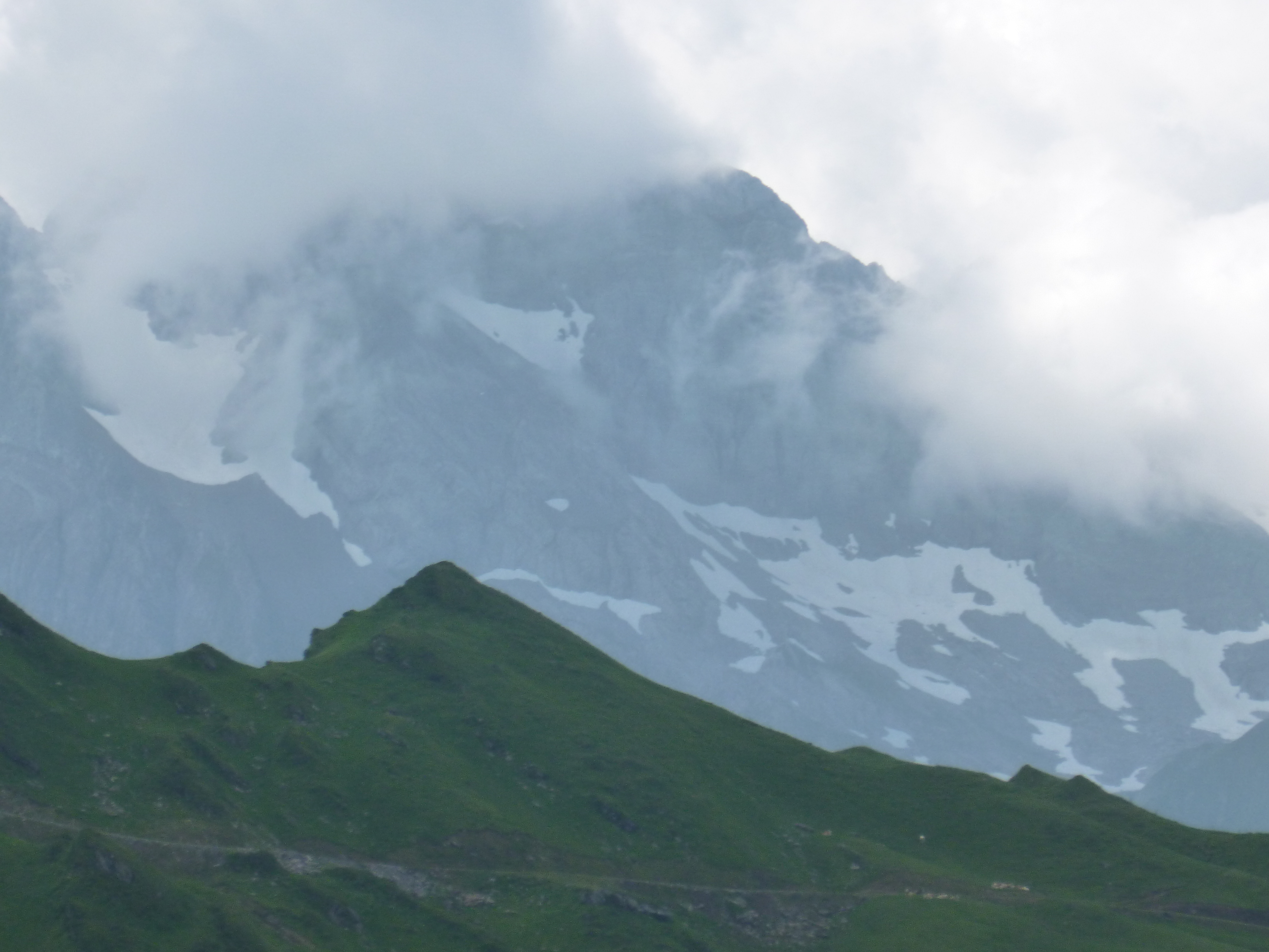
CLOUDY TOO
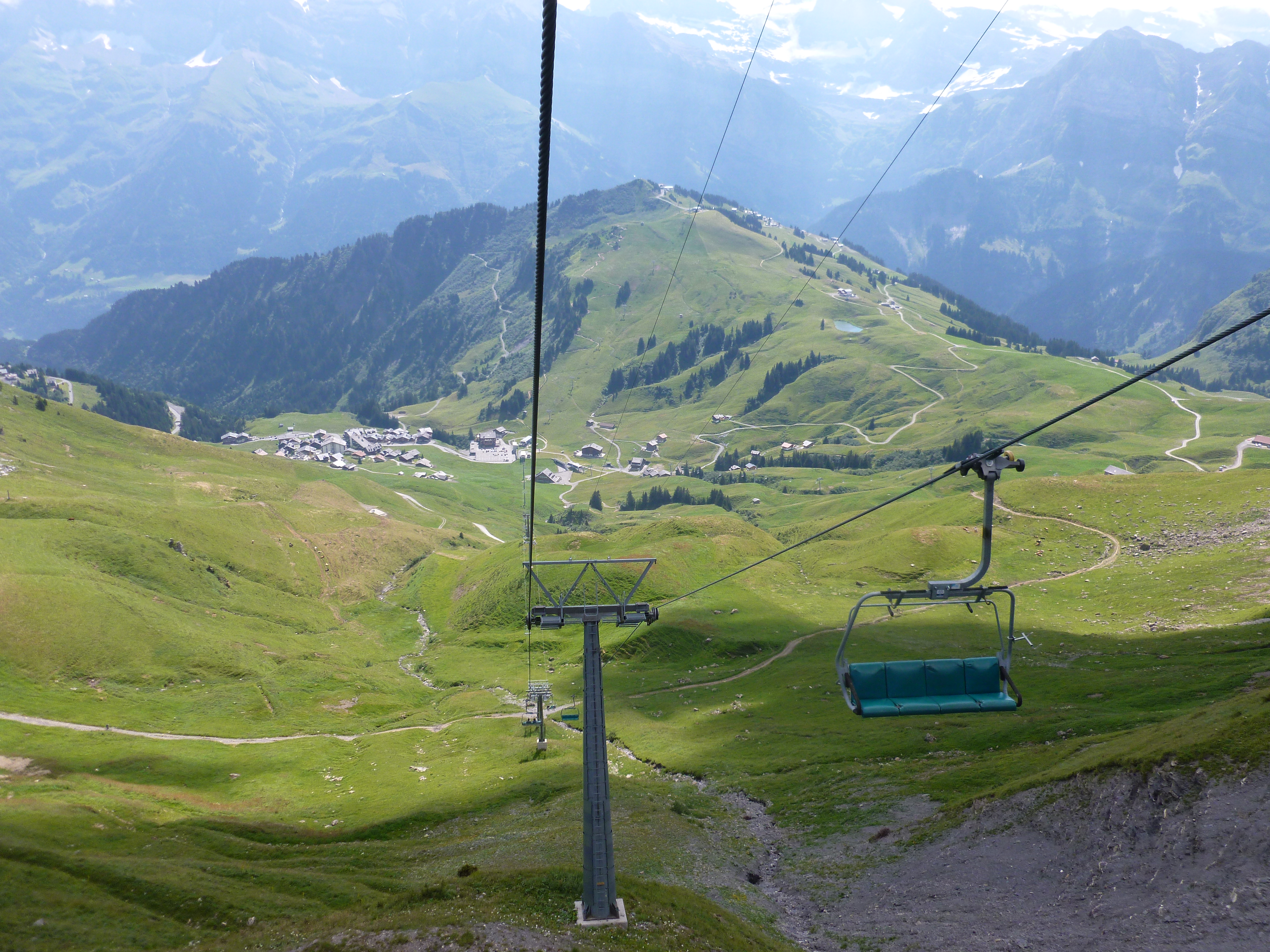
GOING DOWN
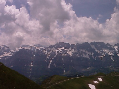
Top of the World
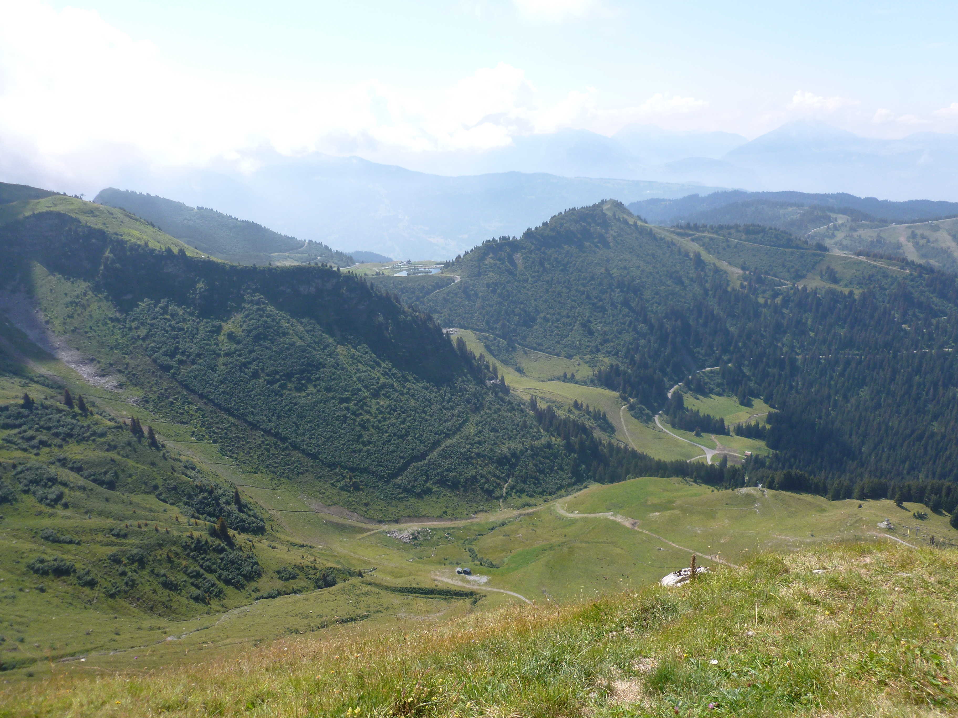
Views...
lake of emosson/analog
Panoramic view at the Col des Paresseux
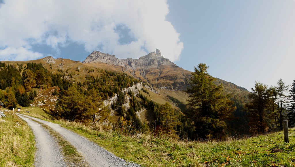
Morning view of the mountain
Panoramic view on the Tour Sallière
A view from the mountaintop
Winter morning in the Alps
Morzine from Avoriaz
Stunning views over Morzine

LOOKING NORTH
LOOKING SOUTH
LOOKING DOWN
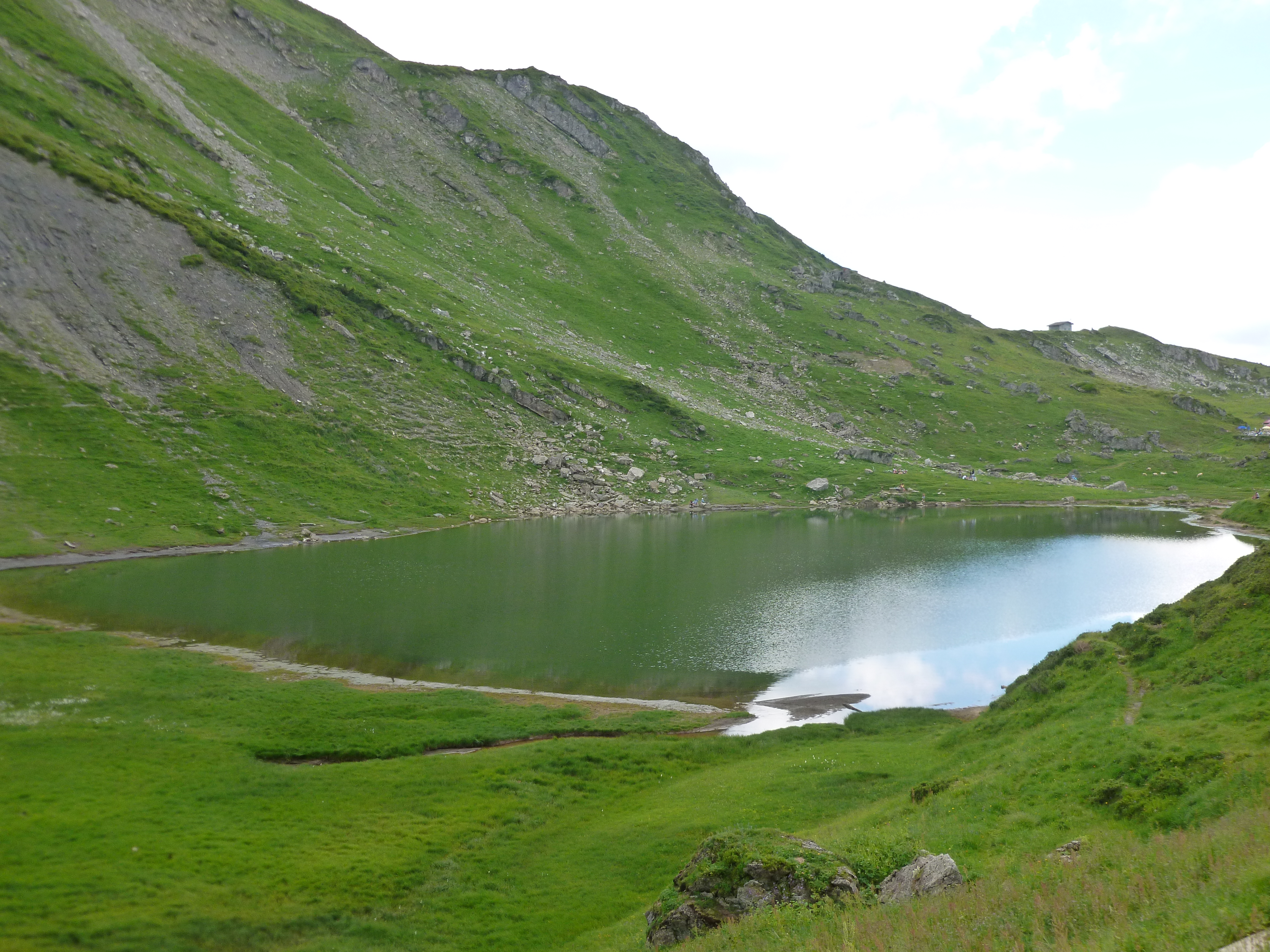
LAC VERT
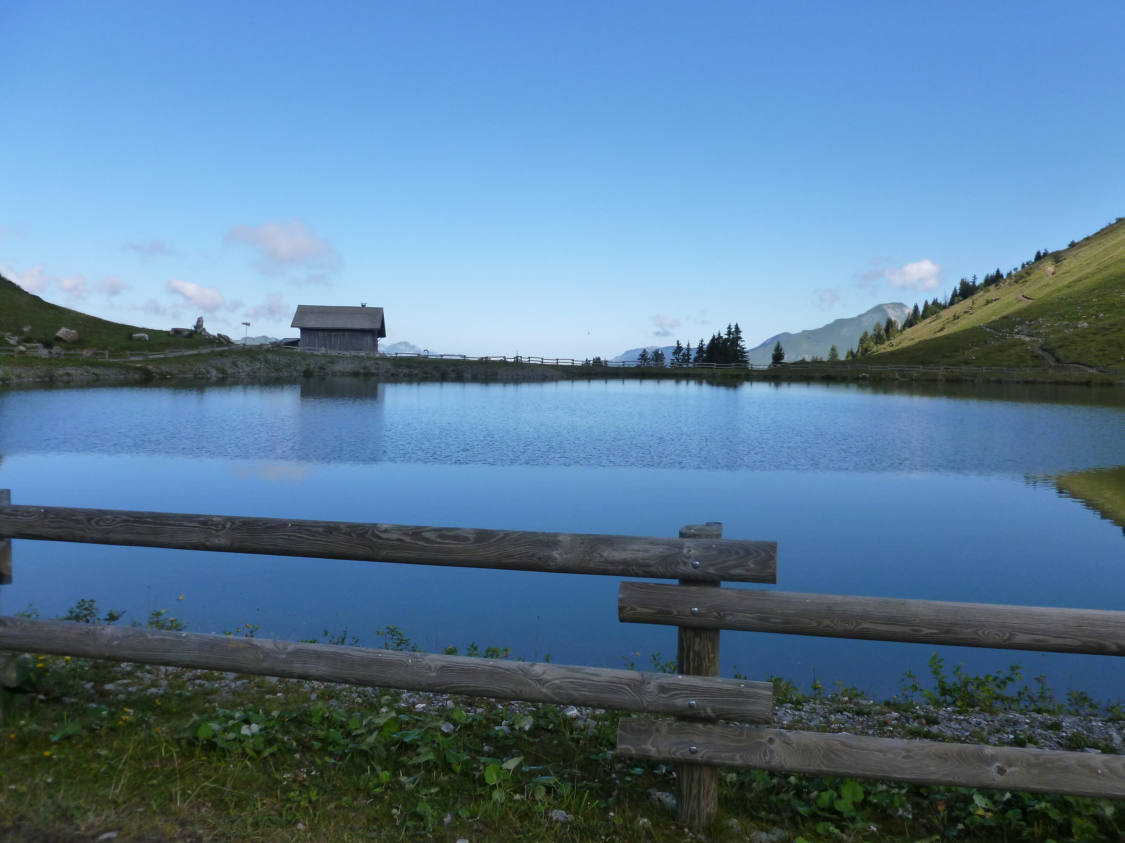
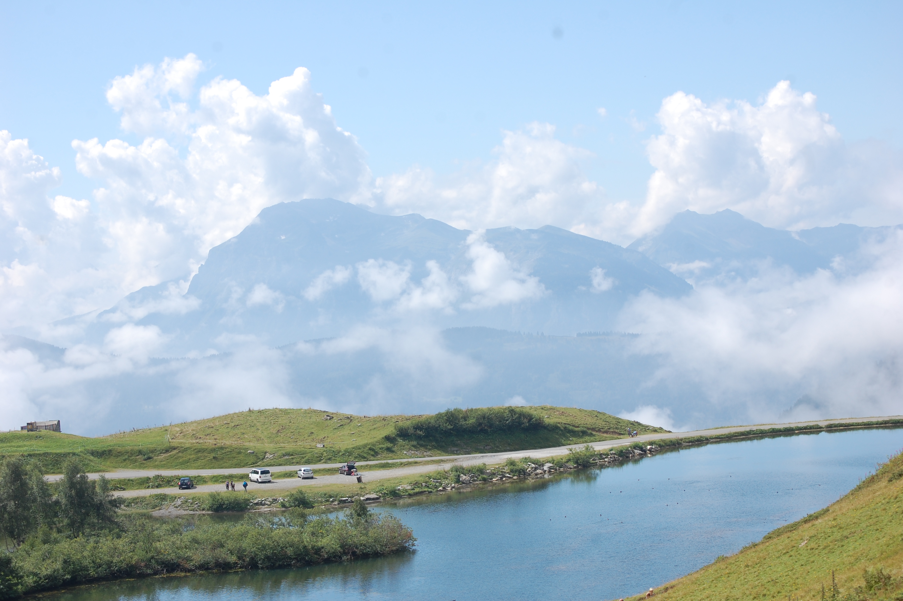
NYON-GUERIN LAKE
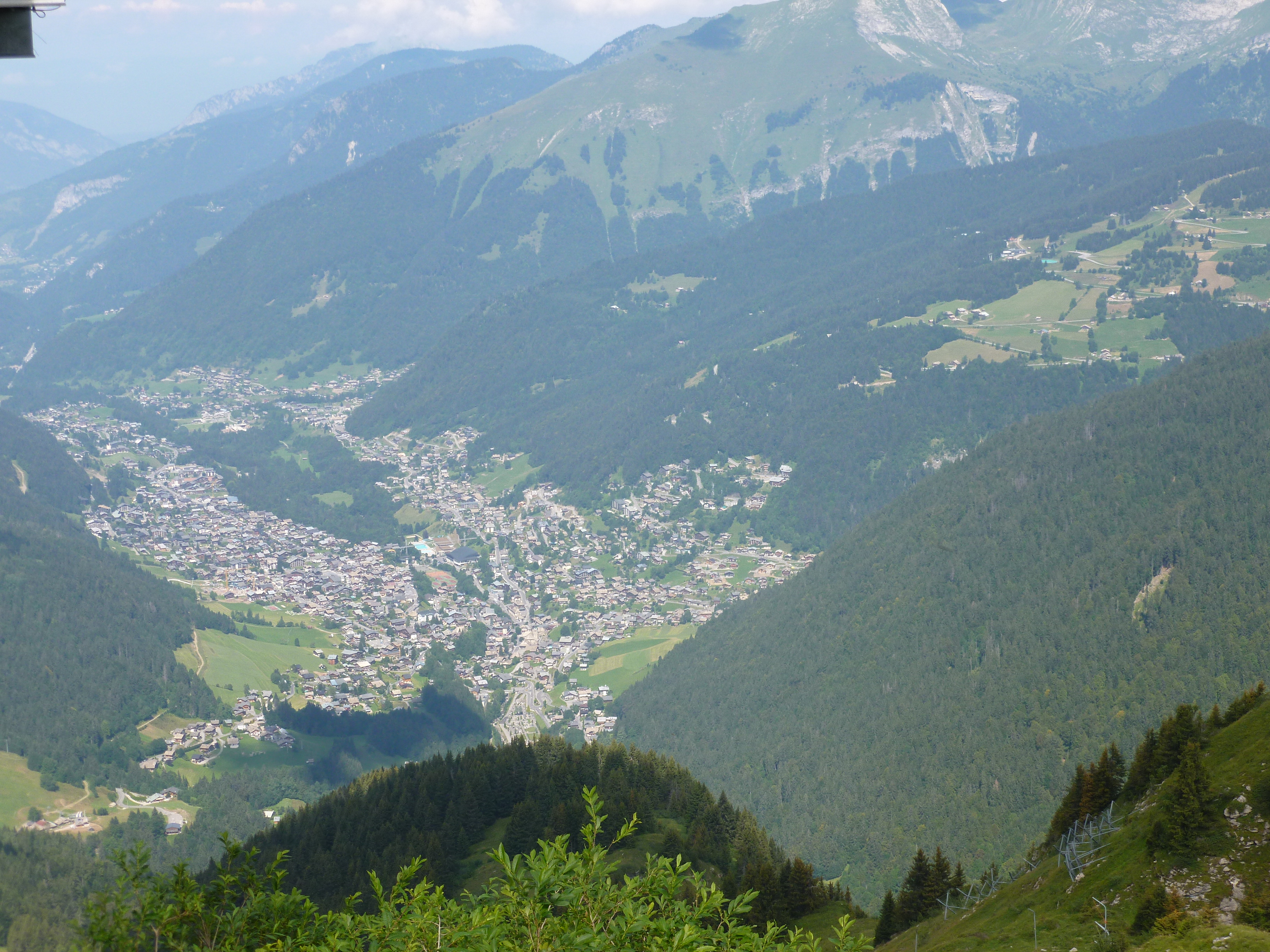
LOOKING DOWN ON MORZINE
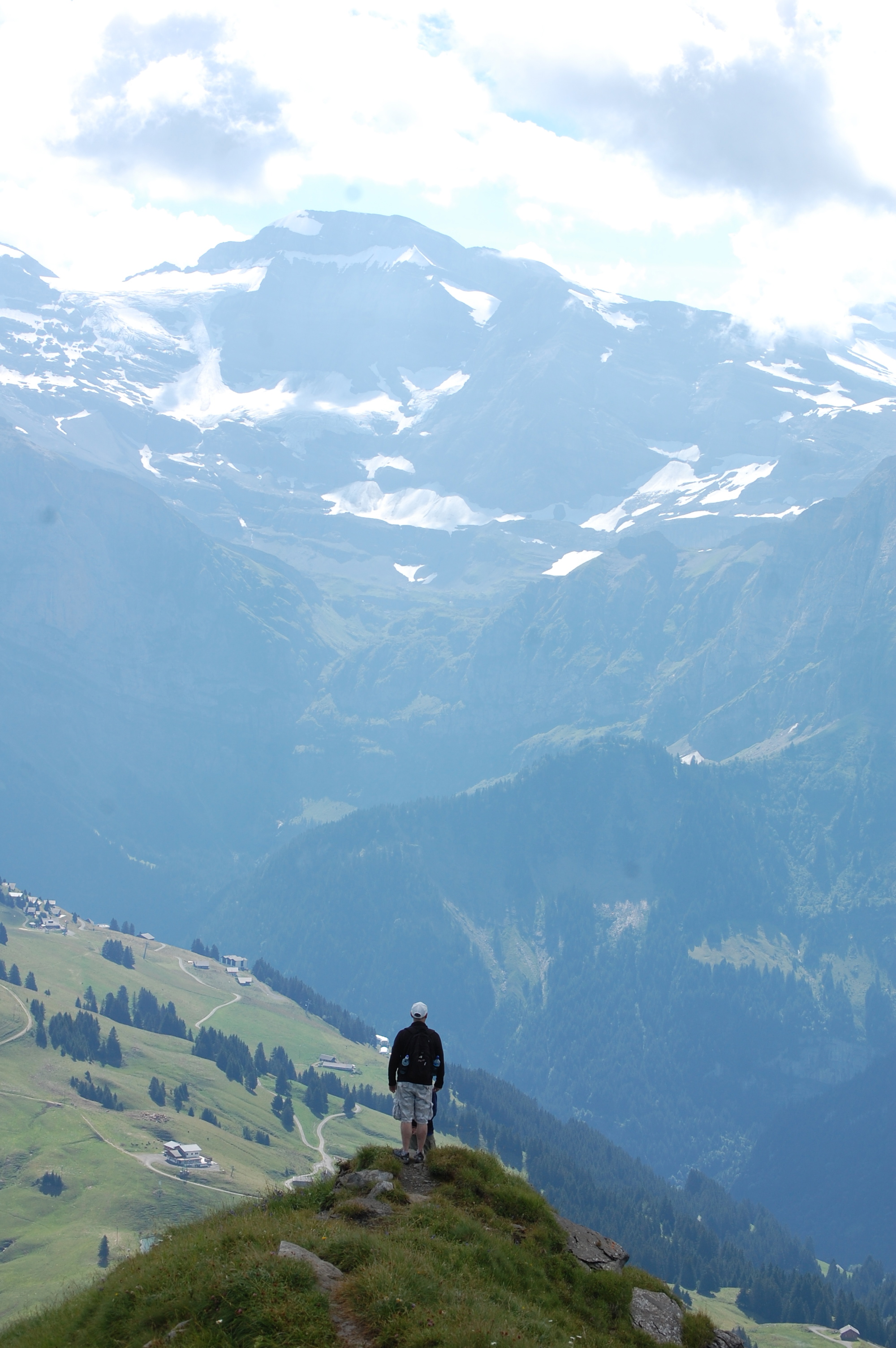
ME ON THE EDGE
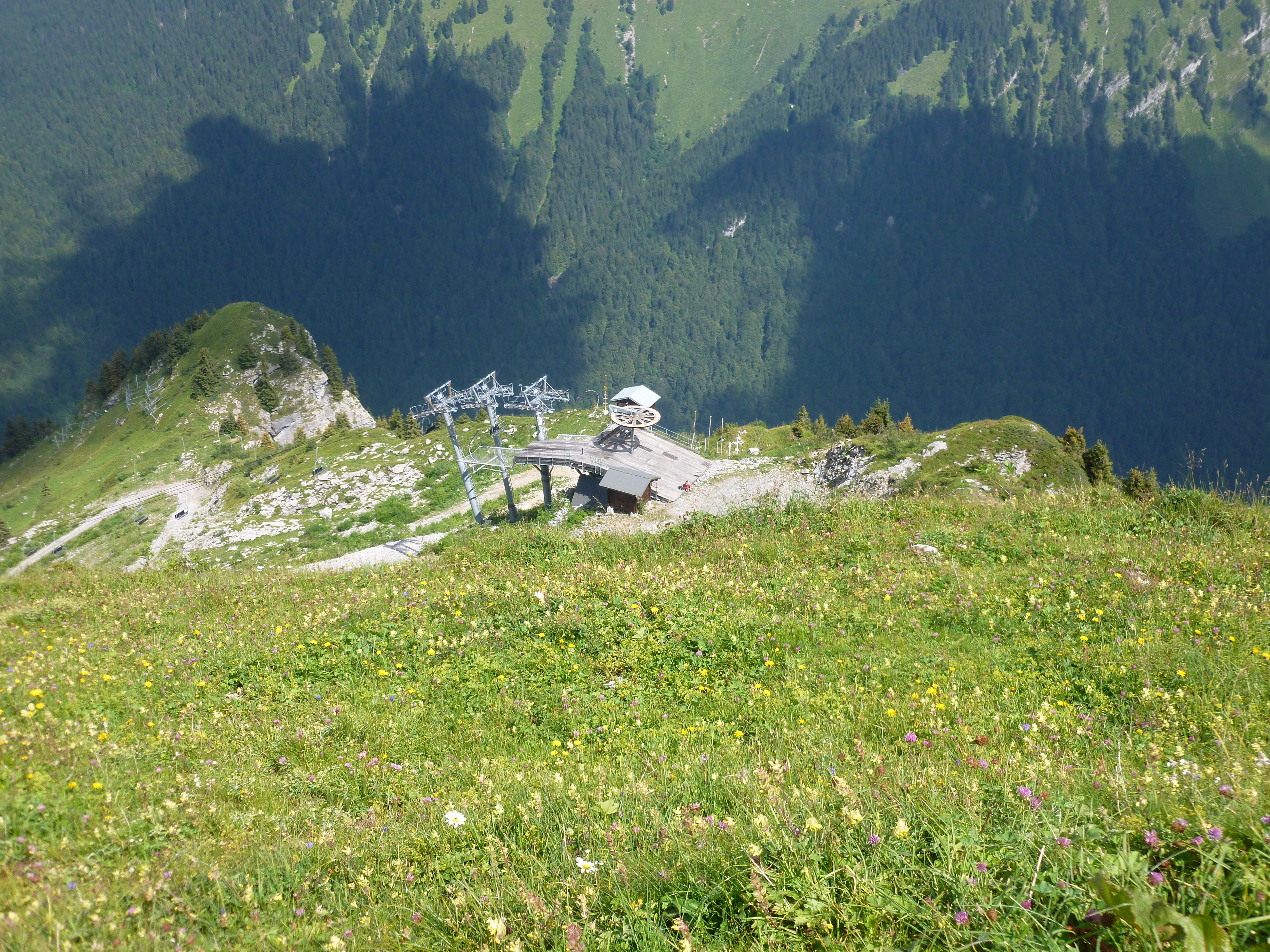
COL DE JOUX PLANE

CYCLING DOWNHILL
Topographic Map of Croix de Culet, Champéry, Switzerland
Find elevation by address:

Places near Croix de Culet, Champéry, Switzerland:
Champéry
Dents Blanches
Val-d'illiez
Thermes Parc - Les Bains Du Val-d'illiez
Hauts-forts
Avoriaz
Dents Du Midi
Chablais Alps
Les Avoudrues
Lac Des Mines D'or
Route des Ardoisières, Morzine, France
Pointe D'angolon
Saint-maurice
Luisin
Morzine
Les Perrons
Sixt-fer-à-cheval
Route Du Dravachet
Route du Lavanchy, Montriond, France
Samoëns
Recent Searches:
- Elevation of Corso Fratelli Cairoli, 35, Macerata MC, Italy
- Elevation of Tallevast Rd, Sarasota, FL, USA
- Elevation of 4th St E, Sonoma, CA, USA
- Elevation of Black Hollow Rd, Pennsdale, PA, USA
- Elevation of Oakland Ave, Williamsport, PA, USA
- Elevation of Pedrógão Grande, Portugal
- Elevation of Klee Dr, Martinsburg, WV, USA
- Elevation of Via Roma, Pieranica CR, Italy
- Elevation of Tavkvetili Mountain, Georgia
- Elevation of Hartfords Bluff Cir, Mt Pleasant, SC, USA