Elevation of Crisp St, Goldsboro, NC, USA
Location: United States > North Carolina > Wayne County > Goldsboro > Goldsboro >
Longitude: -77.969448
Latitude: 35.3943196
Elevation: 35m / 115feet
Barometric Pressure: 101KPa
Elevation Map:
Satellite Map:
Related Photos:

X-ray 3
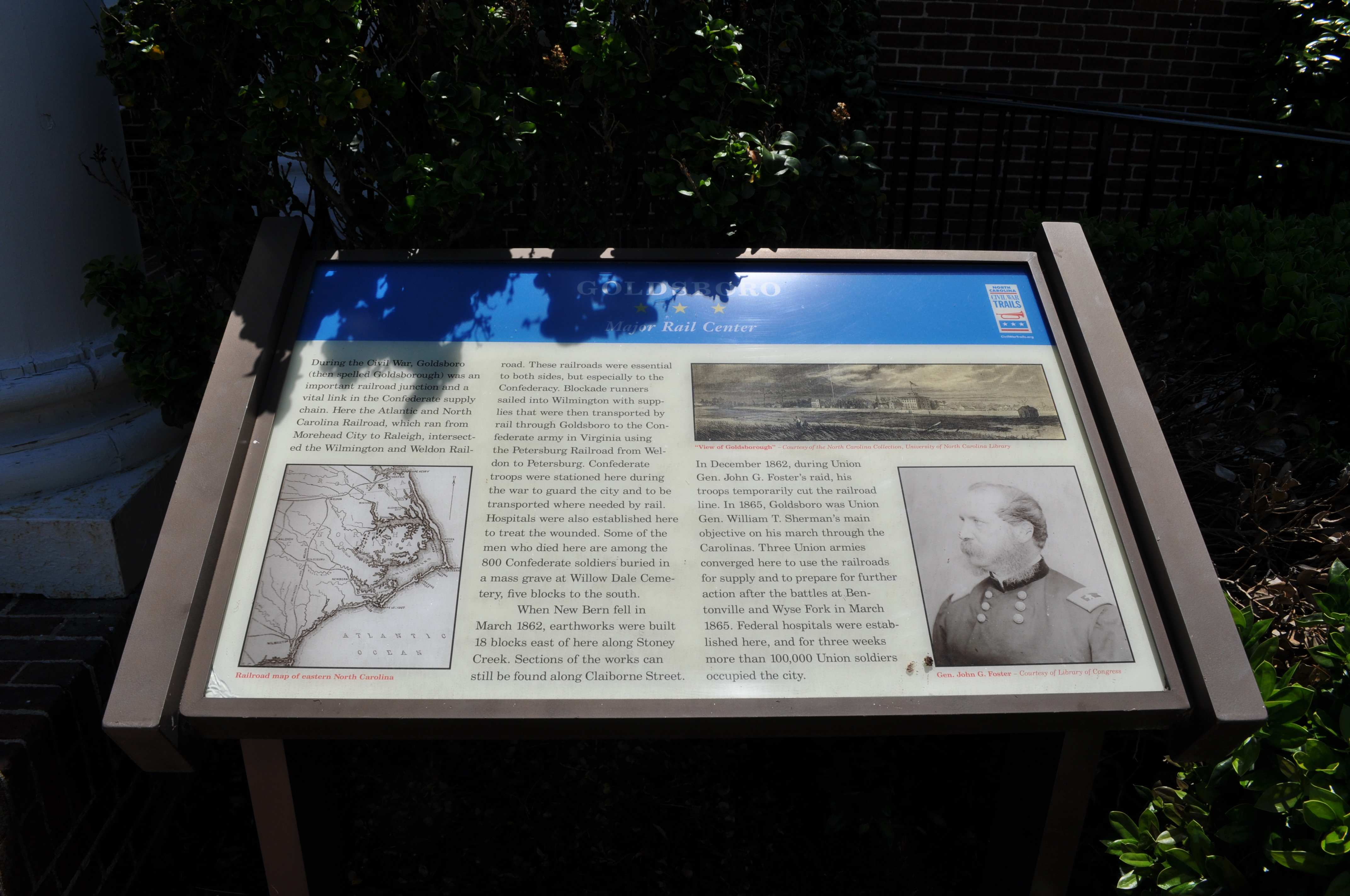
1571 Goldsboro Img_19724
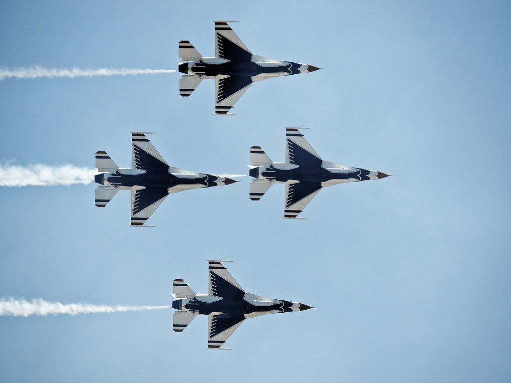
Time to Fly!!
X-ray 4
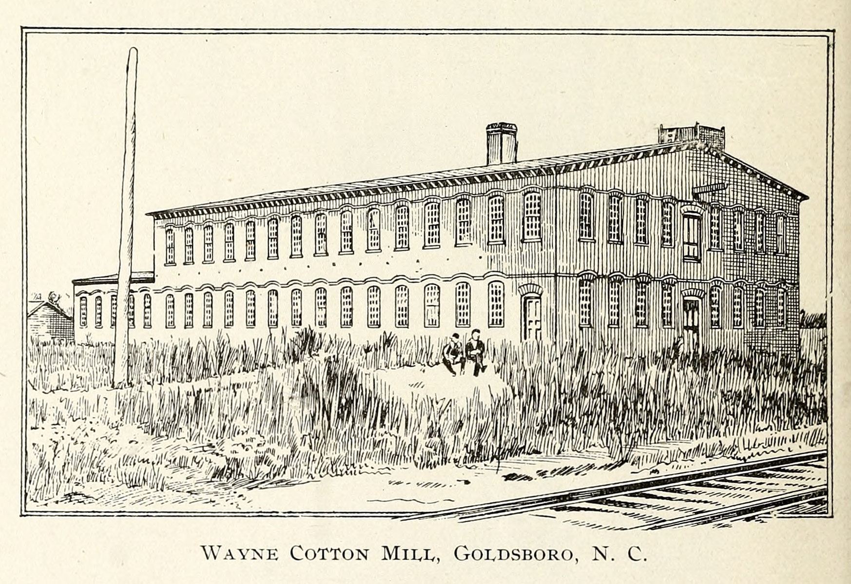
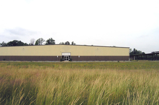
Wayne Cotton Mill, Goldsboro, NC
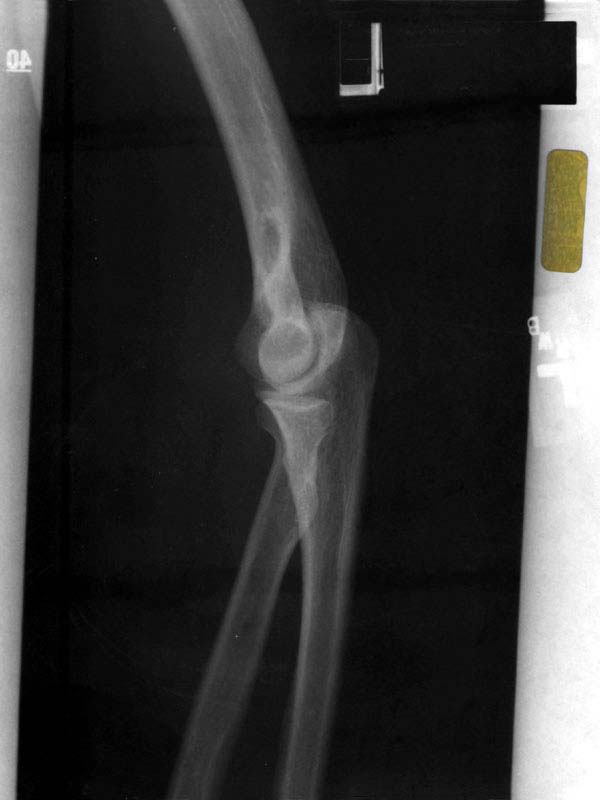
X-ray 2
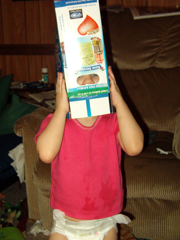
Laurel's soy-milk box helmet
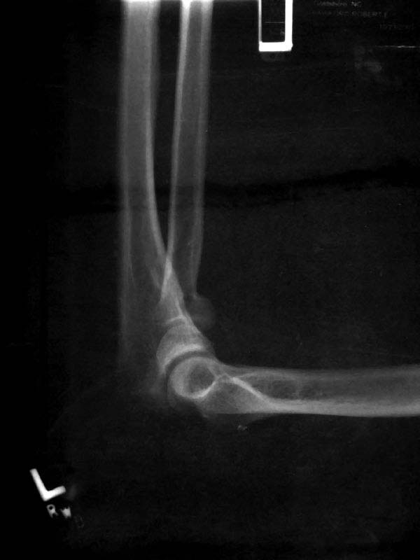
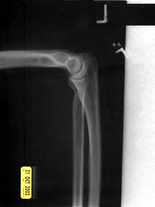
X-ray 1
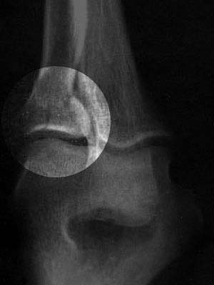
X-ray 3, highlighted
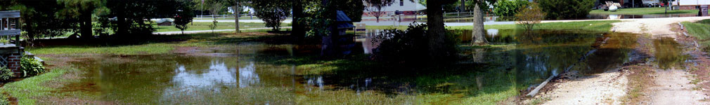
A panoramic view of the flooded front yard

A dormer with a view.
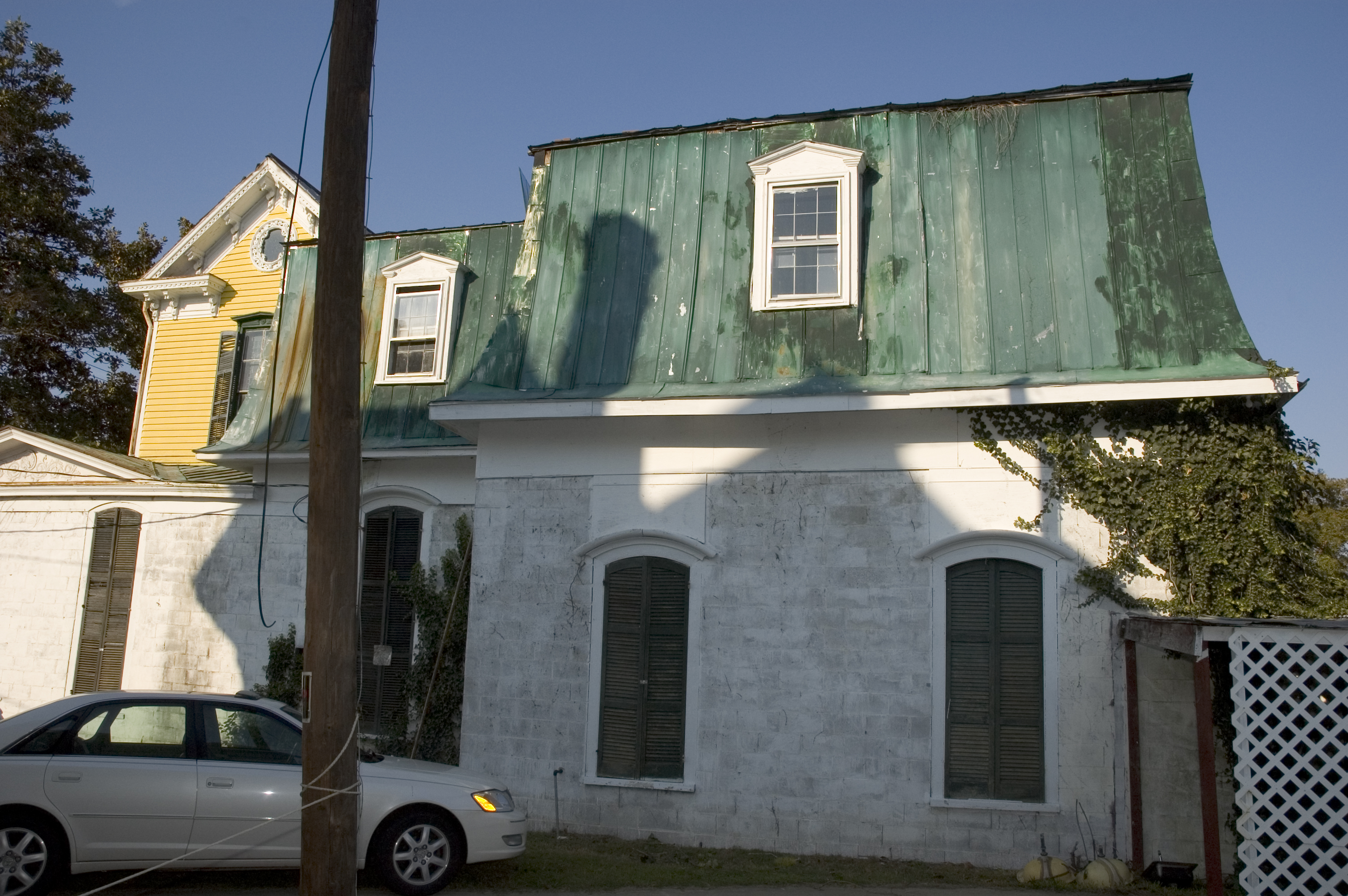
right side view
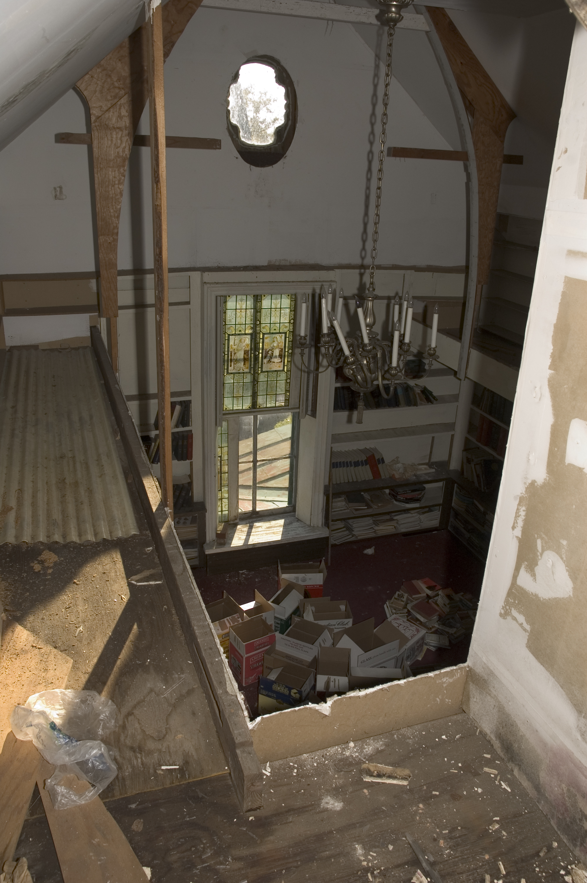
library view from the mezzanine
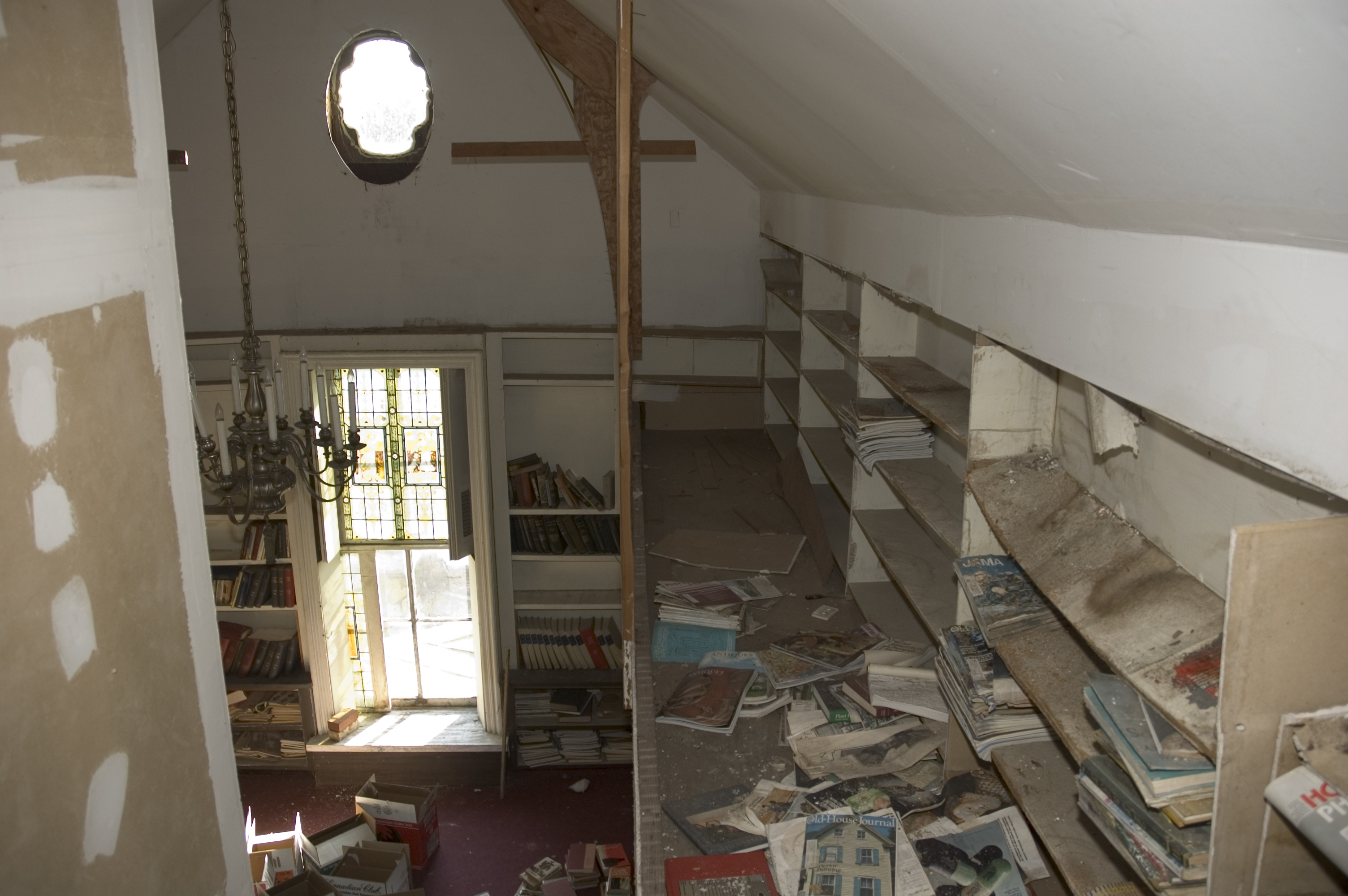
library view from the mezzanine

Rainbow center
HF Lee Coal Ash Spill Photo 8 - 10.17.16
Coal Ash Spill - 10/18/16-2

Colorful Sunrise

The Town of Pikeville
IT'S ELECTRIC
Neuse River - 041513-123441-RGA

IMG_9231.JPG
J&J Rental
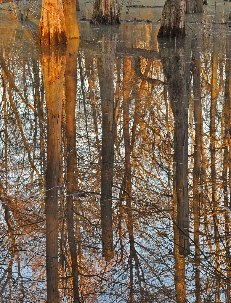
Swamp near Neuse River

HDR Test

Dead Tree.
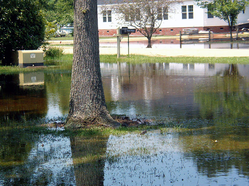
Yesterday that was a dry lawn.
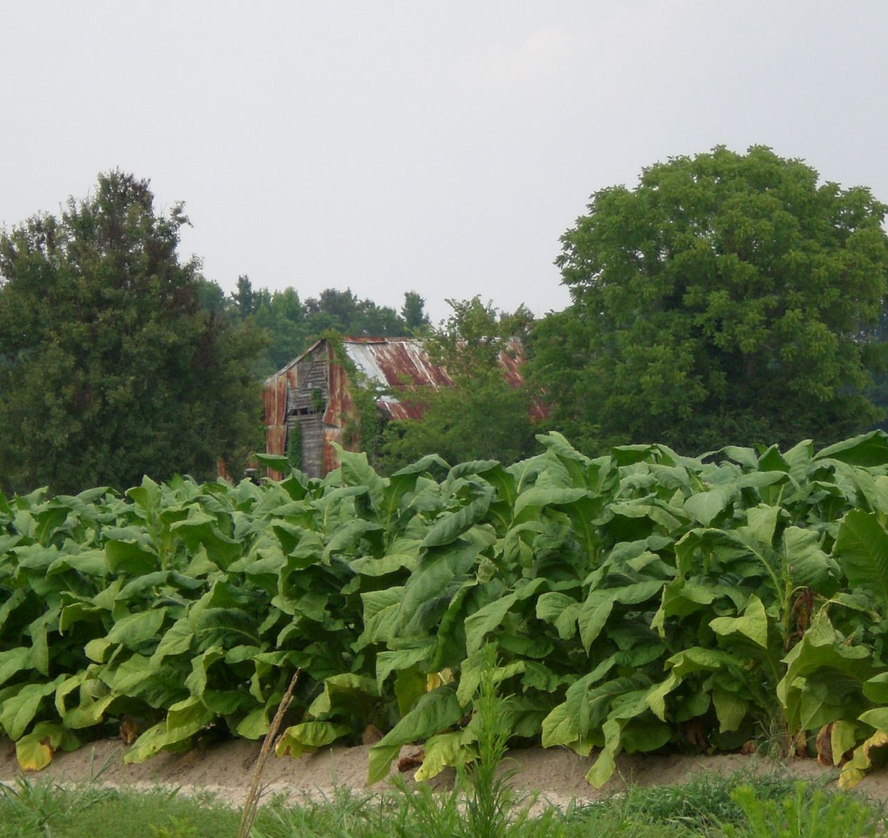
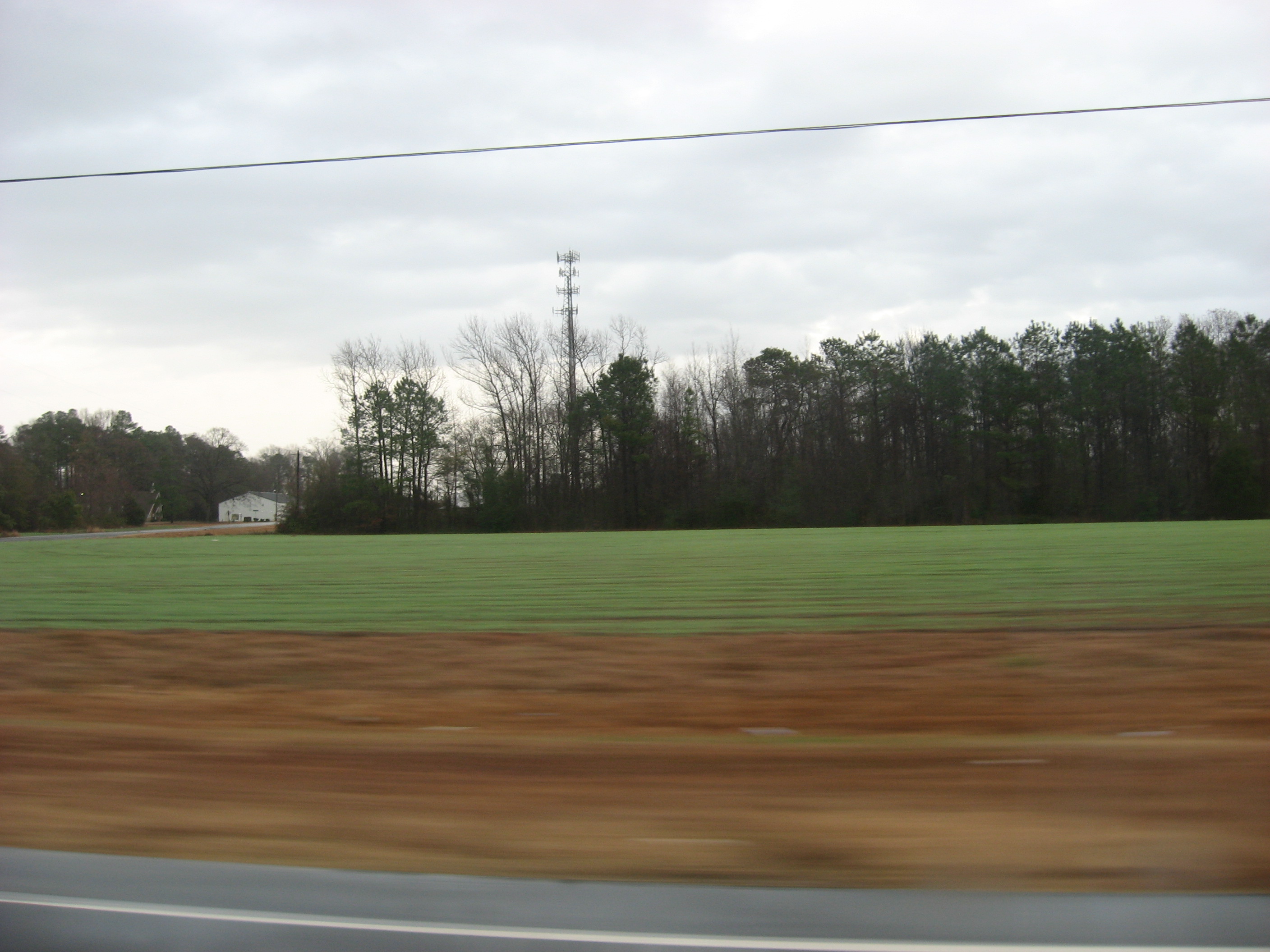
Tobacco Fields
Picture 010
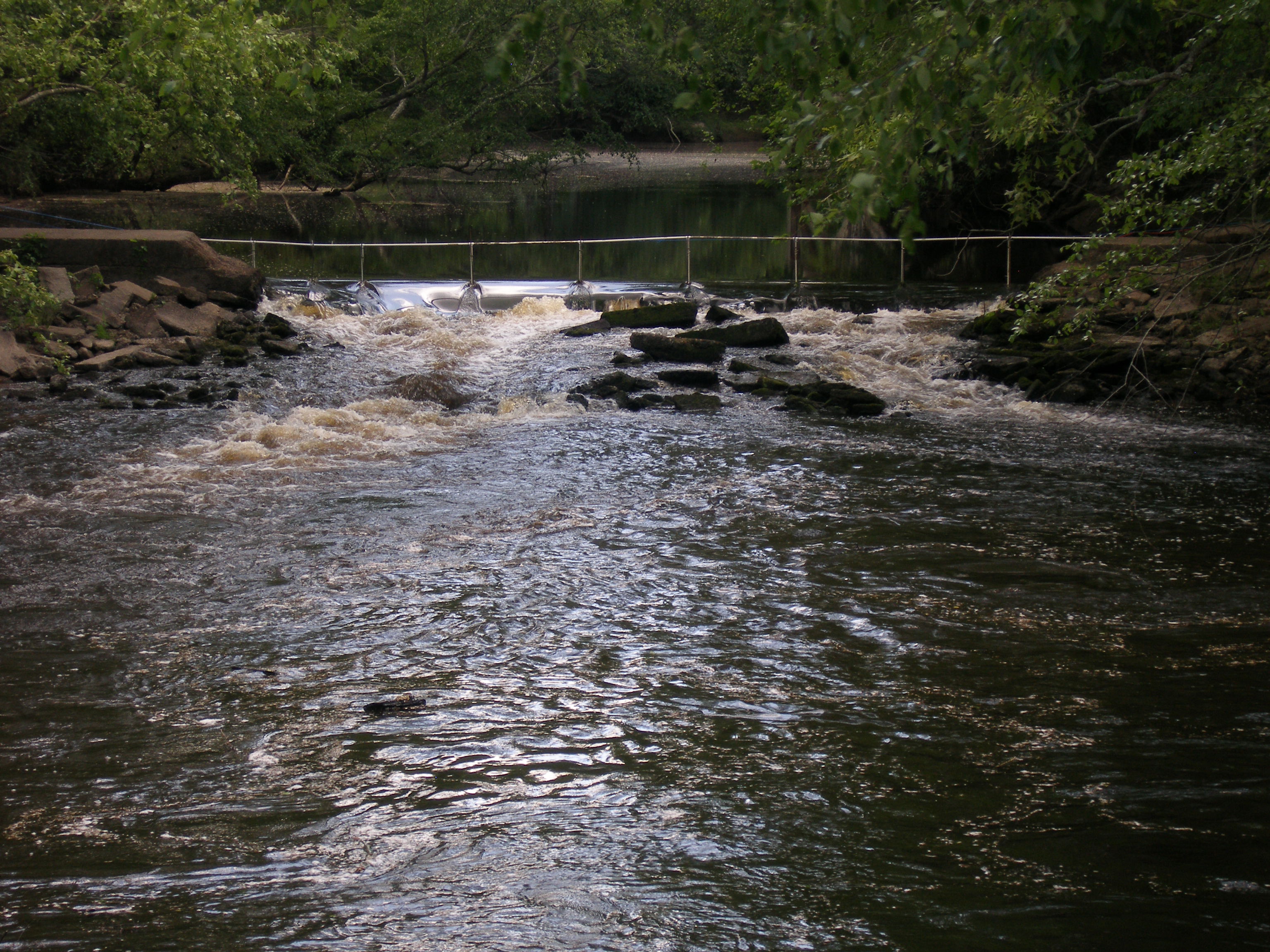
notched dam pit antenna

New wooden train 2
Topographic Map of Crisp St, Goldsboro, NC, USA
Find elevation by address:

Places near Crisp St, Goldsboro, NC, USA:
515 2nd St
414 N Jackson St
206 Commonsgate Dr
206 Commonsgate Dr
Goldsboro
North William Street
Spring St, Goldsboro, NC, USA
604 Chafin Rd
219 King's Way
Goldsboro
512 Franklin St
512 Franklin St
512 Franklin St
512 Franklin St
415 E Spruce St
200 N Center St
206 Biggs St
206 Biggs St
803 N Berkeley Blvd
Berkeley Mall
Recent Searches:
- Elevation of W Granada St, Tampa, FL, USA
- Elevation of Pykes Down, Ivybridge PL21 0BY, UK
- Elevation of Jalan Senandin, Lutong, Miri, Sarawak, Malaysia
- Elevation of Bilohirs'k
- Elevation of 30 Oak Lawn Dr, Barkhamsted, CT, USA
- Elevation of Luther Road, Luther Rd, Auburn, CA, USA
- Elevation of Unnamed Road, Respublika Severnaya Osetiya — Alaniya, Russia
- Elevation of Verkhny Fiagdon, North Ossetia–Alania Republic, Russia
- Elevation of F. Viola Hiway, San Rafael, Bulacan, Philippines
- Elevation of Herbage Dr, Gulfport, MS, USA