Elevation of Crigger Rd, Rural Retreat, VA, USA
Location: United States > Virginia > Rural Retreat >
Longitude: -81.254383
Latitude: 36.809162
Elevation: 745m / 2444feet
Barometric Pressure: 93KPa
Elevation Map:
Satellite Map:
Related Photos:

Hungry Bird
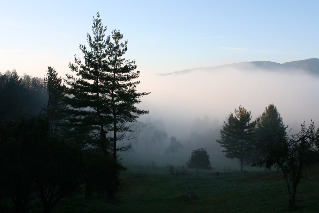
Foggy Mountain Morning
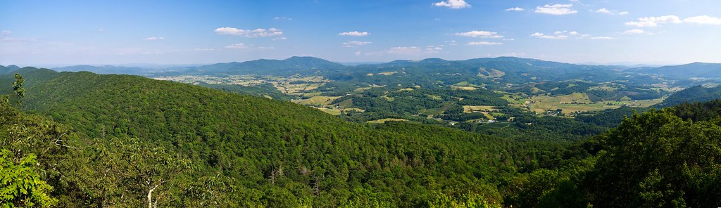
Panoramic View from Comers Rock
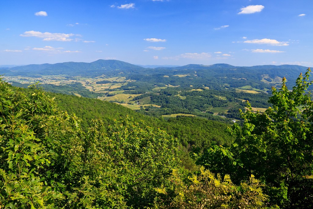
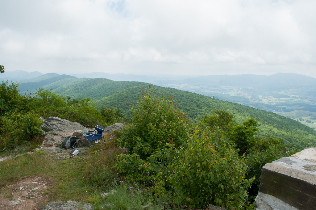
View from Comers Rock
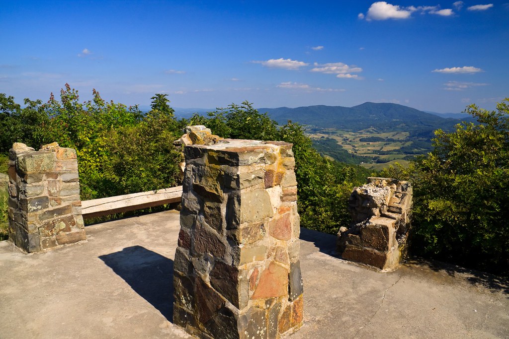
Comers Rock Overlook
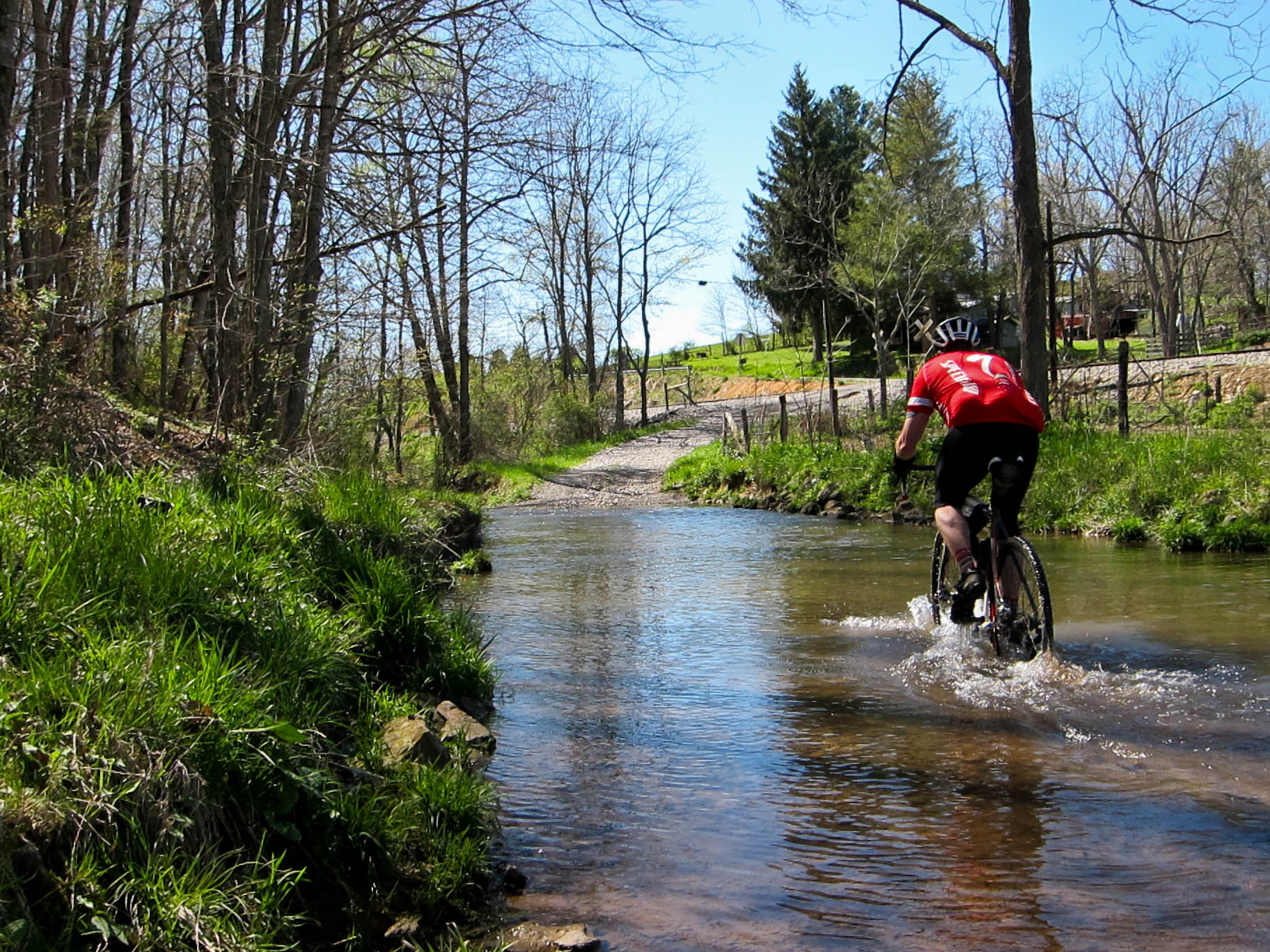
Ford on Johnny Lane
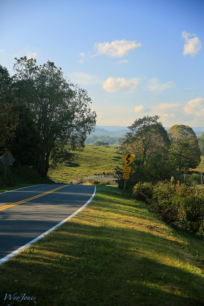
HIghway Driving
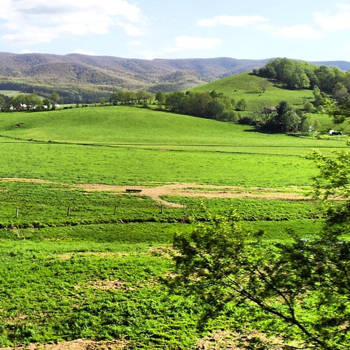
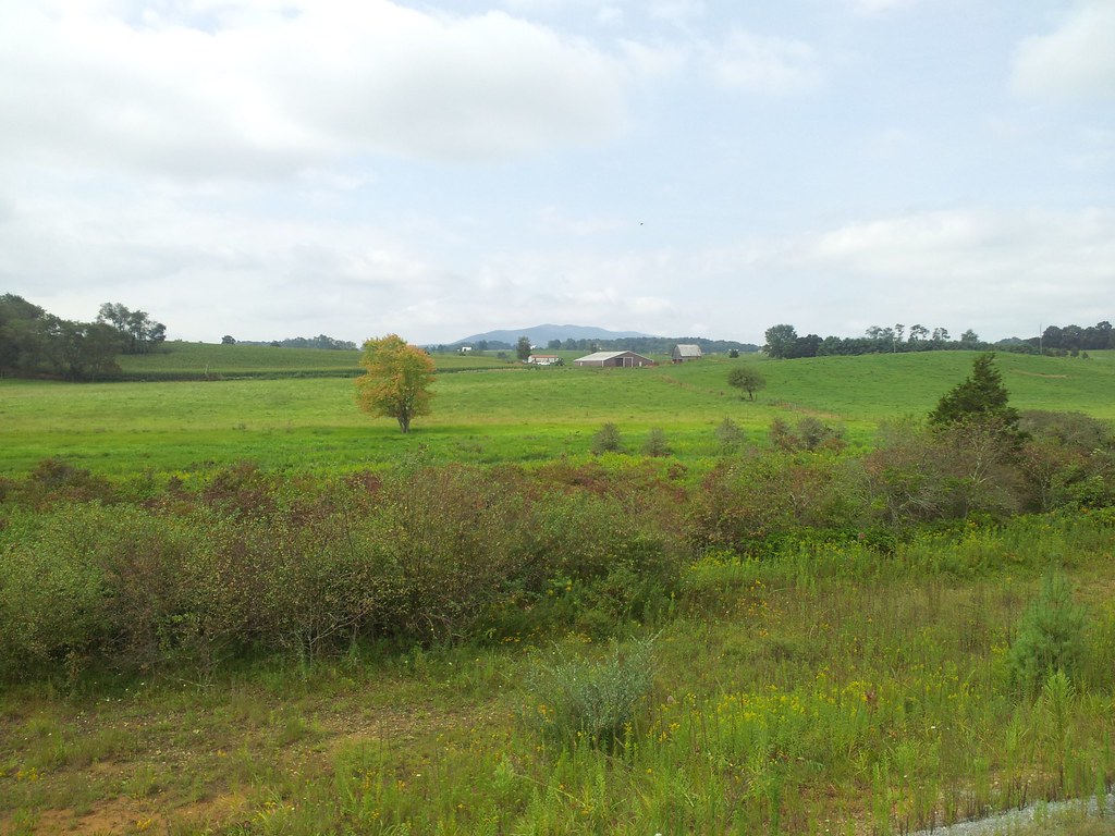
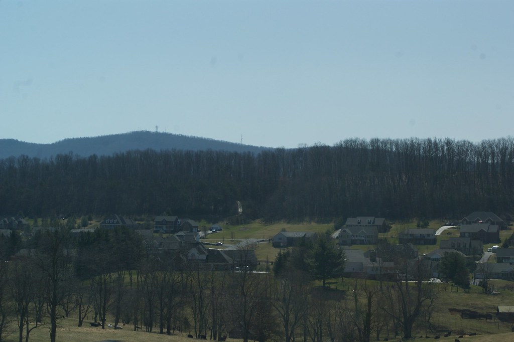
Rural Retreat
Rural Road
Virginia is Beautiful

Settlers Museum, Smyth, Virginia
IMG_2878.jpg

11-4455
Driving through the Shenandoah Valley in VA
64/180 4/20/13 Bike 180 2013

Fire near rural retreat
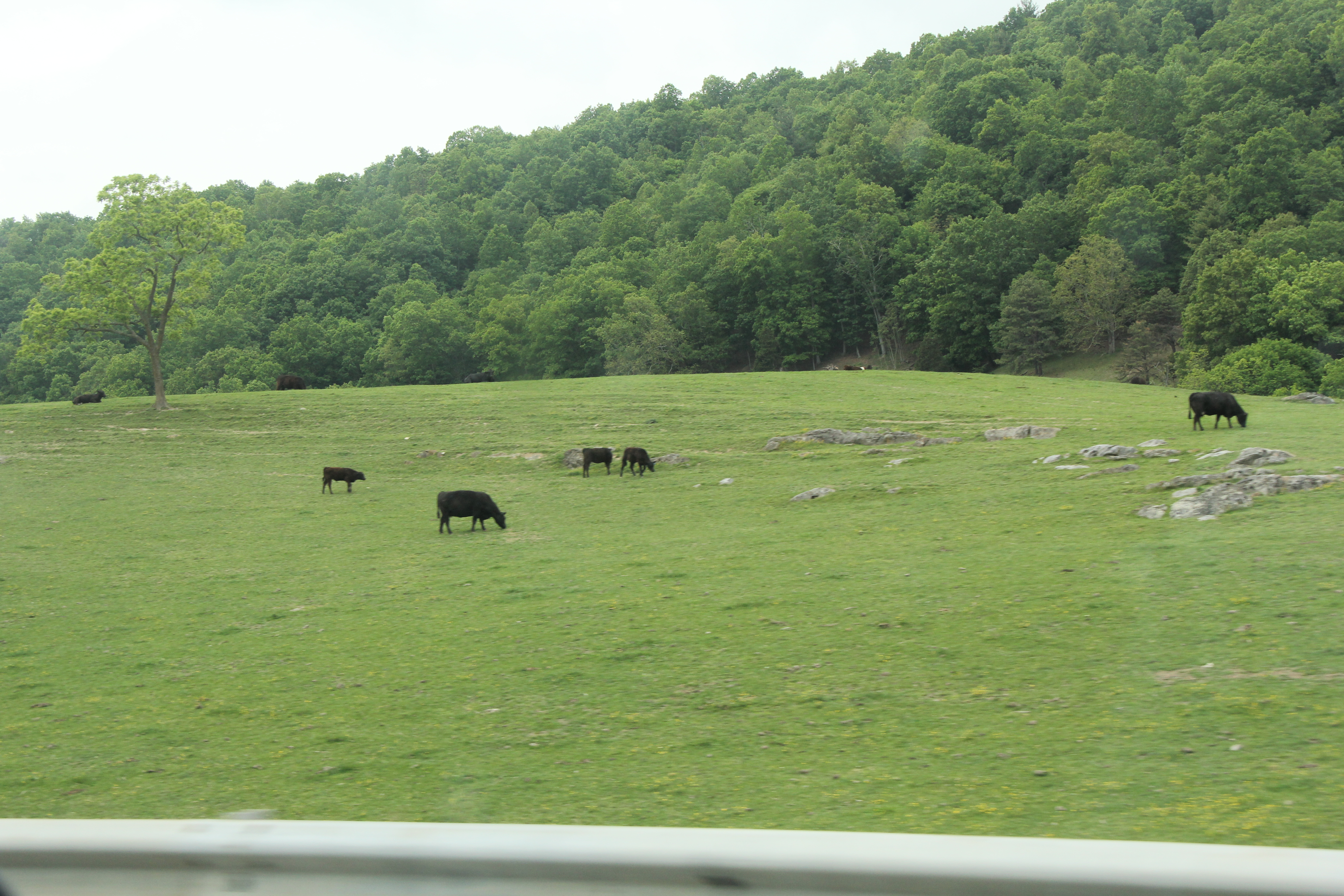
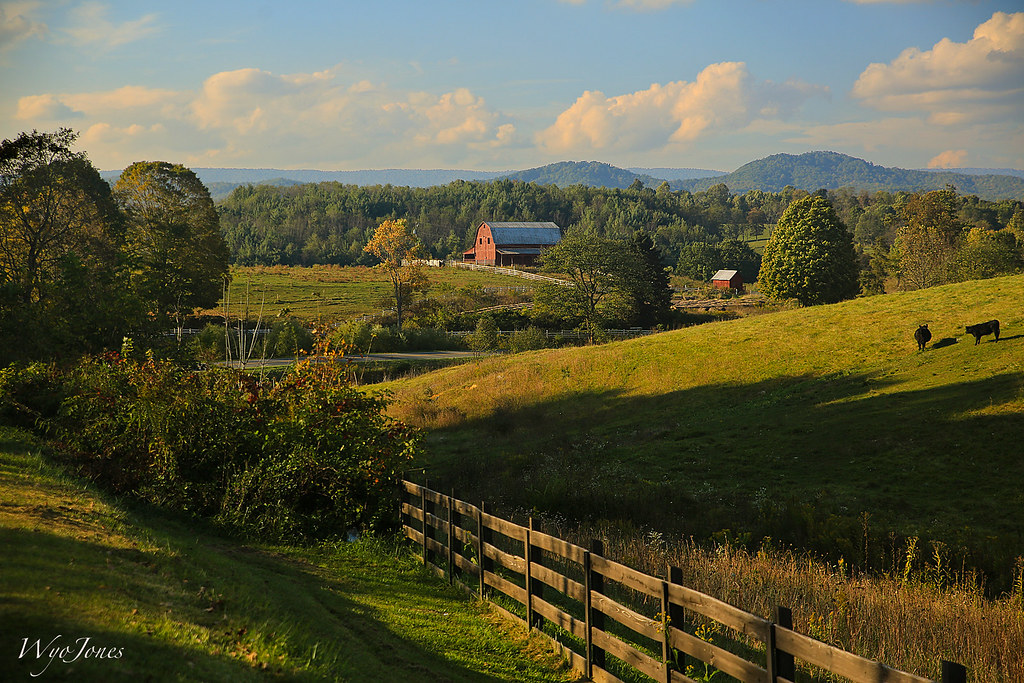
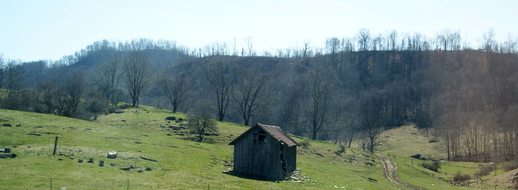
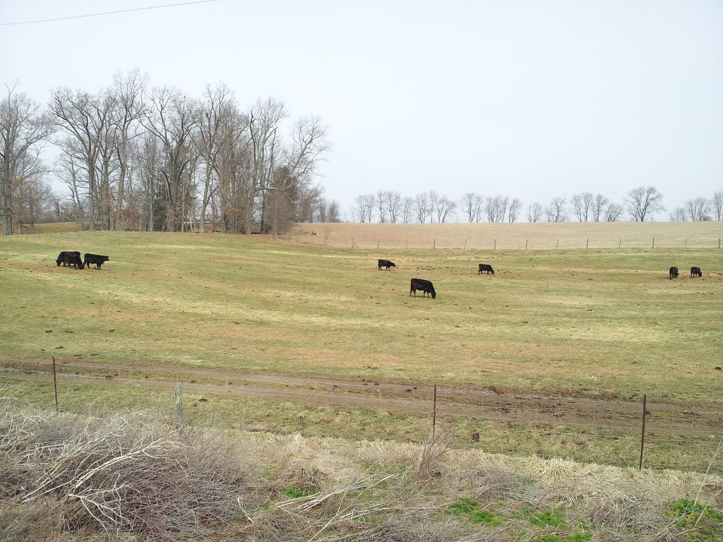
Barn Near Crockett

Near I-81 in Atkins
Near I-81 in Atkins

Short Trail to W4V/WV-013 - Comers Rock
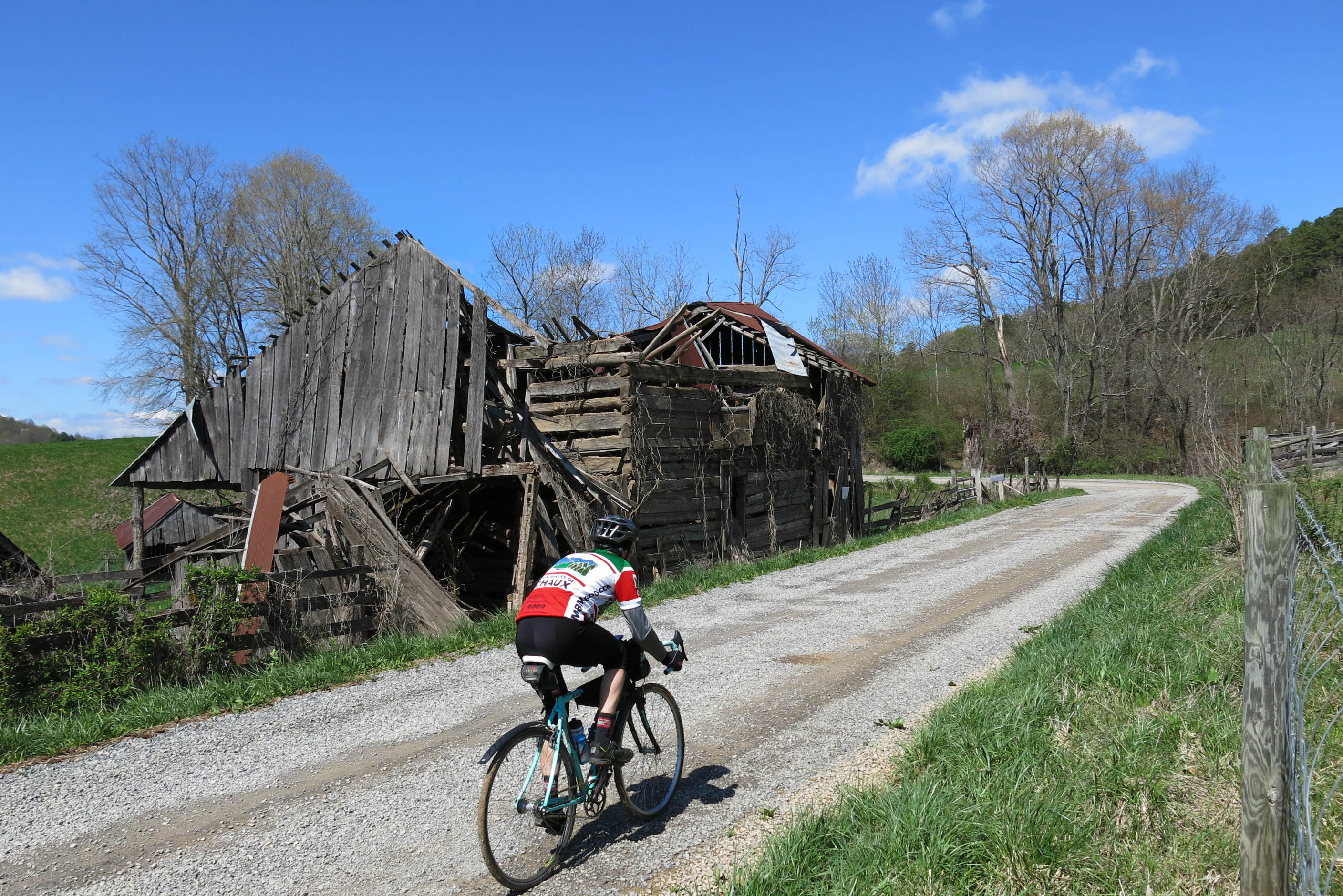
Zion Church Rd., Wythe County, Va
QTH on W4V/WV-013 - Comers Rock
Driving through the Shenandoah Valley in VA
Hungry?
Driving through the Shenandoah Valley in VA
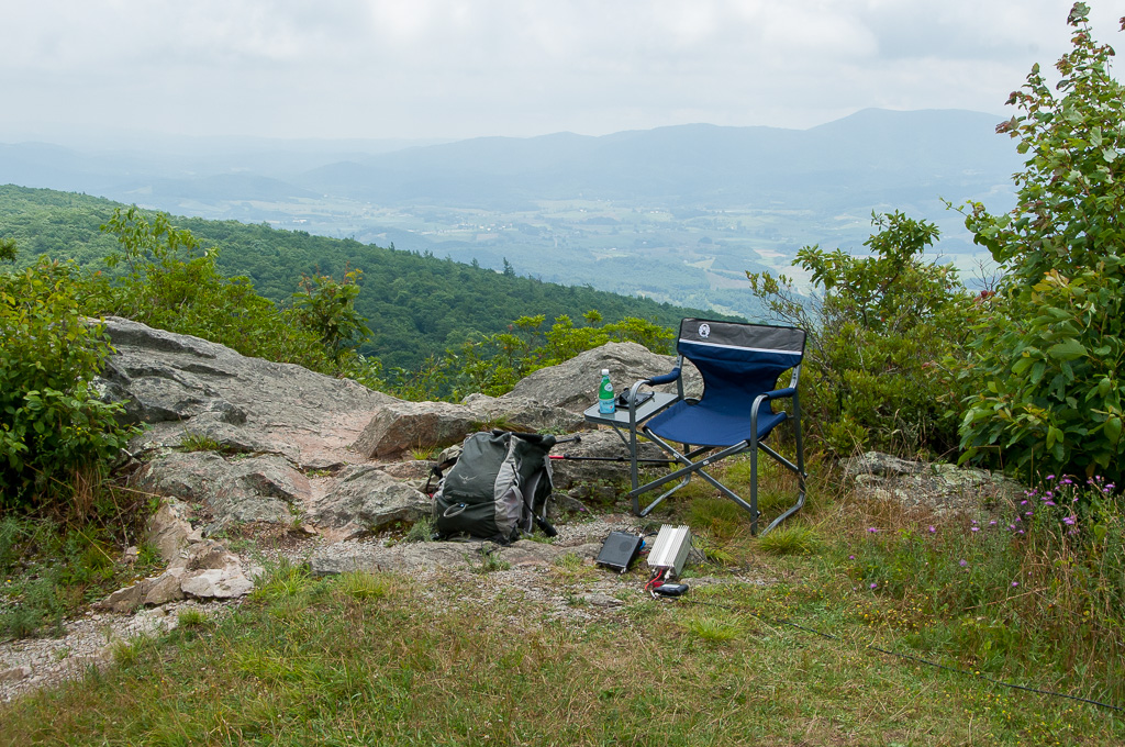
QTH on W4V/WV-013 - Comers Rock
Topographic Map of Crigger Rd, Rural Retreat, VA, USA
Find elevation by address:

Places near Crigger Rd, Rural Retreat, VA, USA:
4028 Cedar Springs Rd
4028 Cedar Springs Rd
4028 Cedar Springs Rd
4028 Cedar Springs Rd
4028 Cedar Springs Rd
4028 Cedar Springs Rd
4028 Cedar Springs Rd
4028 Cedar Springs Rd
3619 Cedar Springs Rd
163 Hilton Ln
449 Pine Glade Rd
449 Pine Glade Rd
449 Pine Glade Rd
7176 Comers Rock Rd
4848 Comers Rock Rd
4800 Comers Rock Rd
Comers Rock
4119 Comers Rock Rd
193 Mt Zion Rd
5030 State Rte 672
Recent Searches:
- Elevation of Leyte Industrial Development Estate, Isabel, Leyte, Philippines
- Elevation of W Granada St, Tampa, FL, USA
- Elevation of Pykes Down, Ivybridge PL21 0BY, UK
- Elevation of Jalan Senandin, Lutong, Miri, Sarawak, Malaysia
- Elevation of Bilohirs'k
- Elevation of 30 Oak Lawn Dr, Barkhamsted, CT, USA
- Elevation of Luther Road, Luther Rd, Auburn, CA, USA
- Elevation of Unnamed Road, Respublika Severnaya Osetiya — Alaniya, Russia
- Elevation of Verkhny Fiagdon, North Ossetia–Alania Republic, Russia
- Elevation of F. Viola Hiway, San Rafael, Bulacan, Philippines