Elevation map of Crete, Greece
Location: Greece >
Longitude: 24.8092691
Latitude: 35.240117
Elevation: 1587m / 5207feet
Barometric Pressure: 84KPa
Elevation Map:
Satellite Map:
Related Photos:
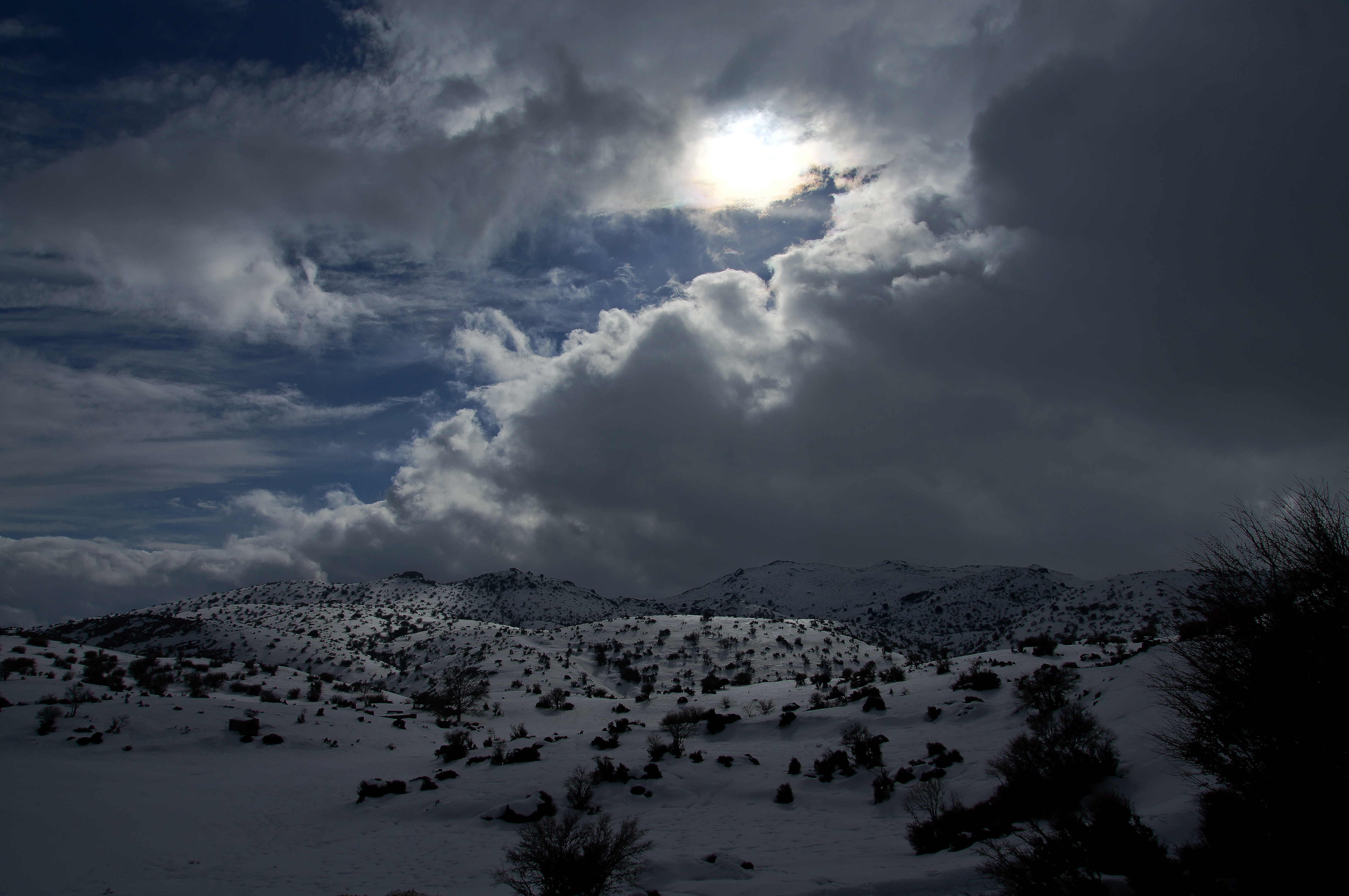
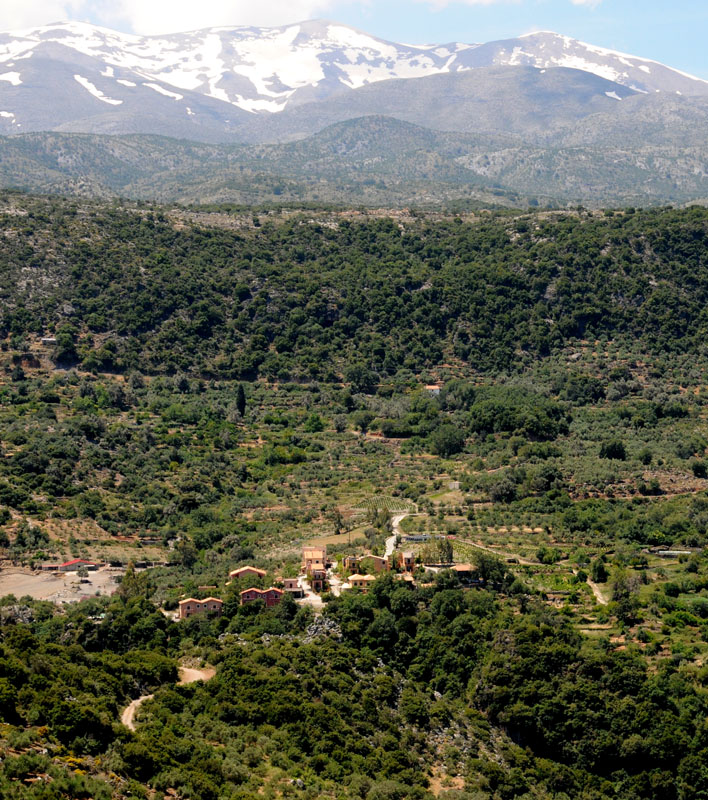
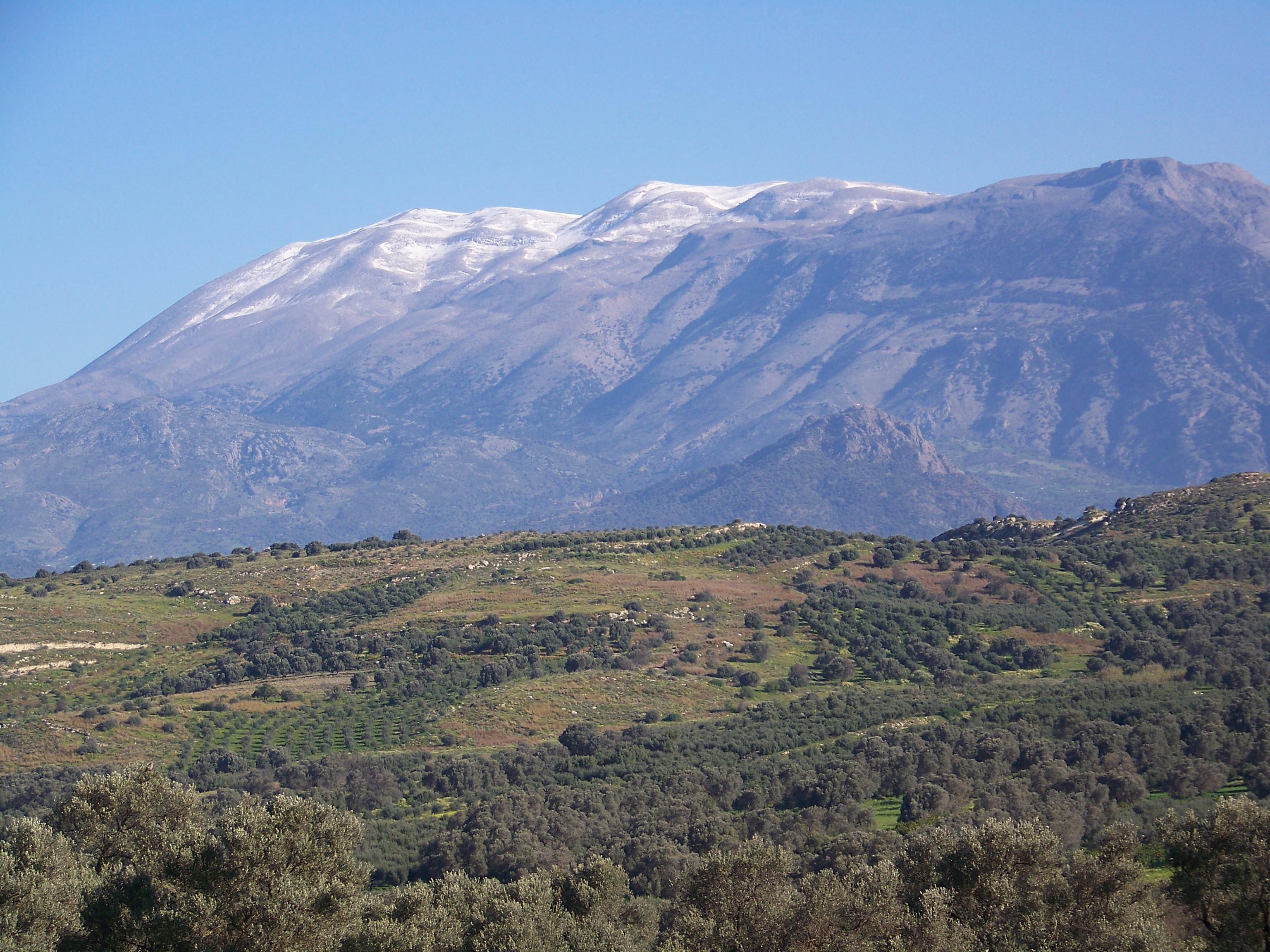
snow view

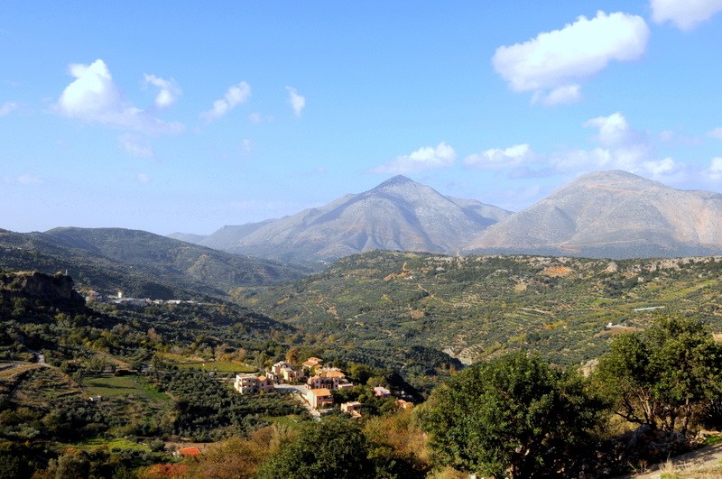
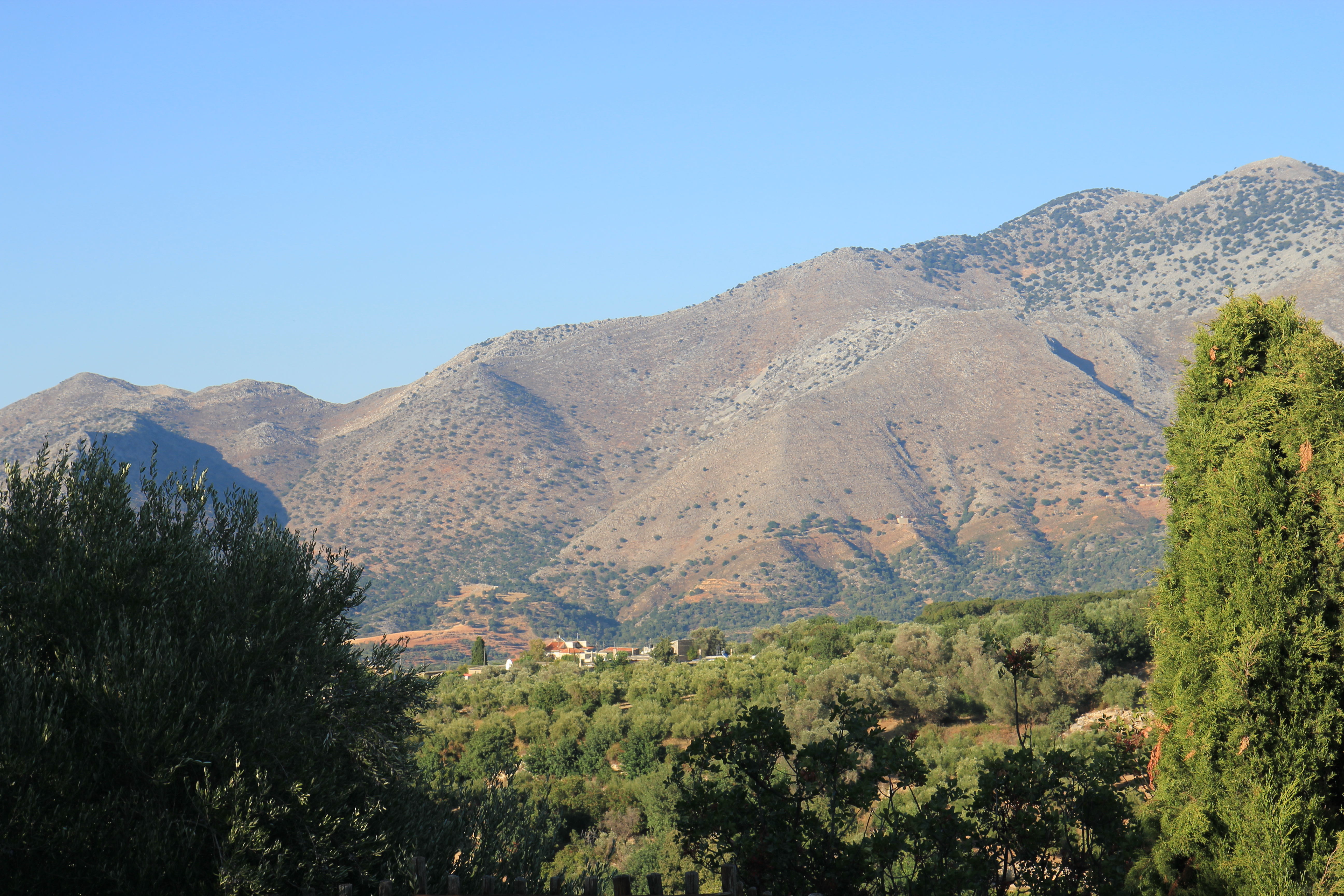
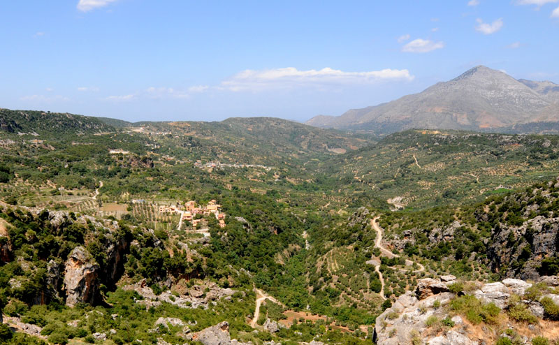
Landscape crete

Zaros lake
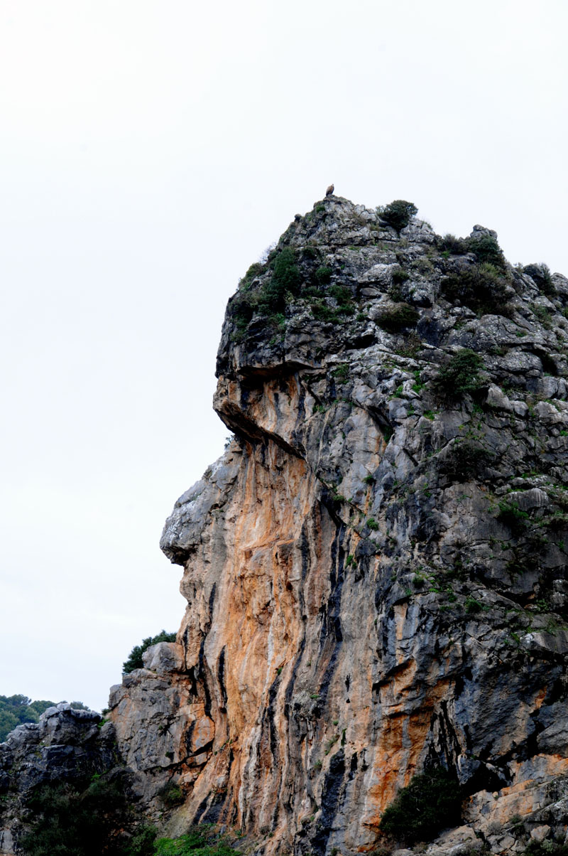
General View

To the Sea
Back Down to Earth
Exterior View
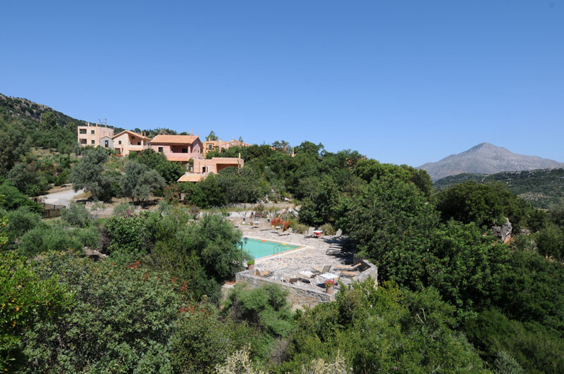
1807 Villa Agni; view from the pool
General View
General View

General View

View from Venetian Bell Tower, Amari
General View
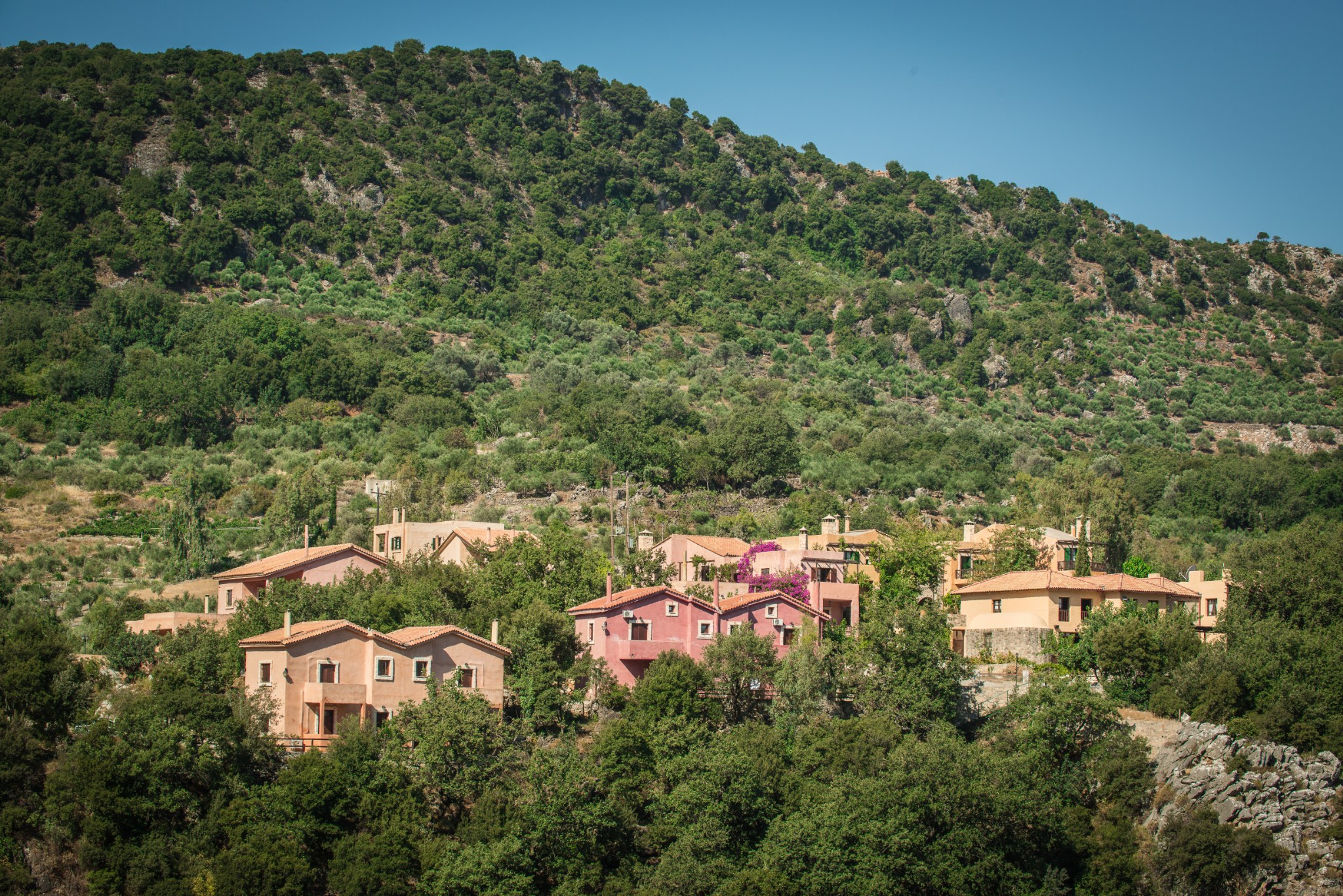
Apodoulou, Crete
General View
Topographic Map of Crete, Greece
Find elevation by address:

Places in Crete, Greece:
Places near Crete, Greece:
Crete
Crete
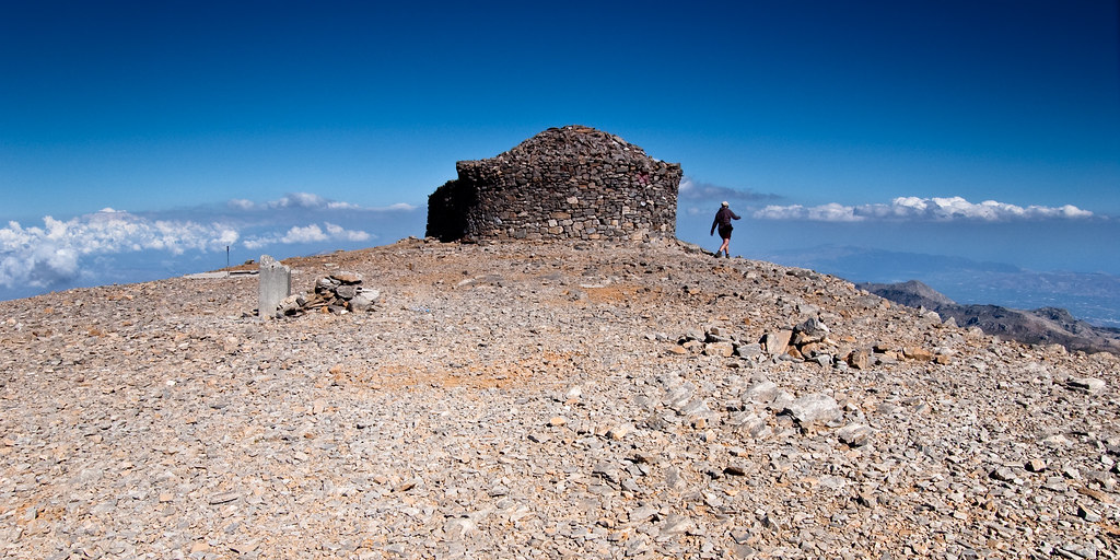
Mount Ida
Kouloukonas
Mylopotamos
Damasta
Malevizi
Arkadi
Epar.Od. Viran Episkopis-Monis Arkadiou 35, Roupes 52, Greece
Roupes
Panormos In Rethymno
Grecotel Marine Palace & Aqua Park
Timios Stavros
Gazi
Pigi
Knossou 18, Ag. Pelagia 00, Greece
Epar.Od. Irakliou - Agiou Silla 86, Ag. Sillas 00, Greece
Leratou 20, Iraklio 01, Greece
St. Mark's Basilica
Archanes
Recent Searches:
- Elevation of Corso Fratelli Cairoli, 35, Macerata MC, Italy
- Elevation of Tallevast Rd, Sarasota, FL, USA
- Elevation of 4th St E, Sonoma, CA, USA
- Elevation of Black Hollow Rd, Pennsdale, PA, USA
- Elevation of Oakland Ave, Williamsport, PA, USA
- Elevation of Pedrógão Grande, Portugal
- Elevation of Klee Dr, Martinsburg, WV, USA
- Elevation of Via Roma, Pieranica CR, Italy
- Elevation of Tavkvetili Mountain, Georgia
- Elevation of Hartfords Bluff Cir, Mt Pleasant, SC, USA