Elevation of Cresthaven Dr, Groveland, CA, USA
Location: United States > California > Tuolumne County > Groveland >
Longitude: -120.18188
Latitude: 37.851473
Elevation: 855m / 2805feet
Barometric Pressure: 91KPa
Elevation Map:
Satellite Map:
Related Photos:

down the milky rift

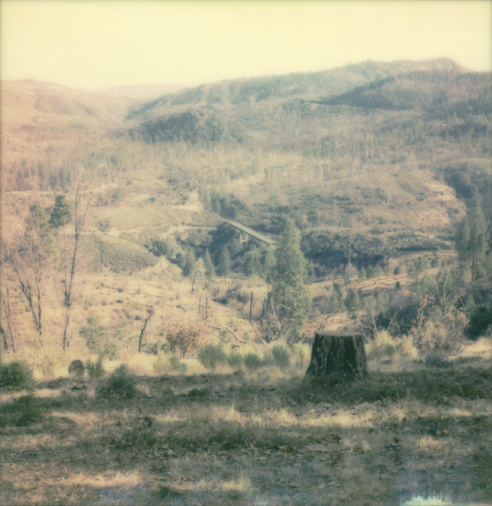
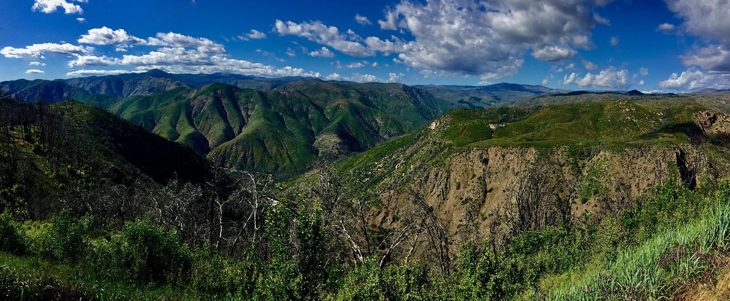
Rim of the World Panorama, 8 months after the fire...
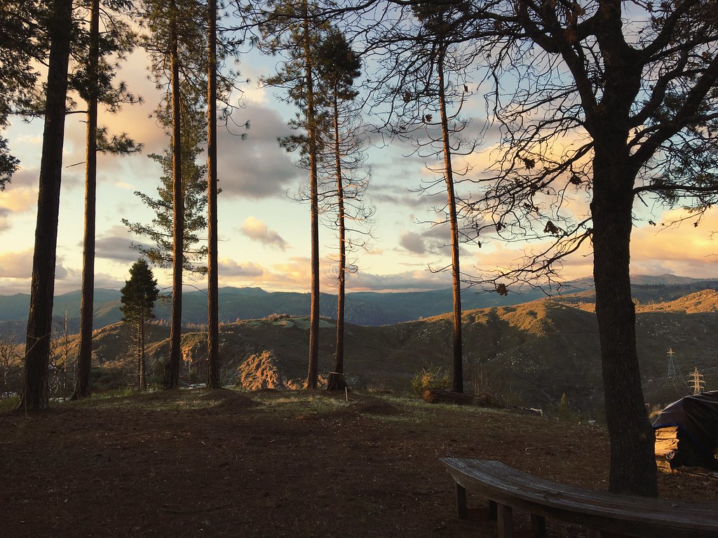
view from mom's
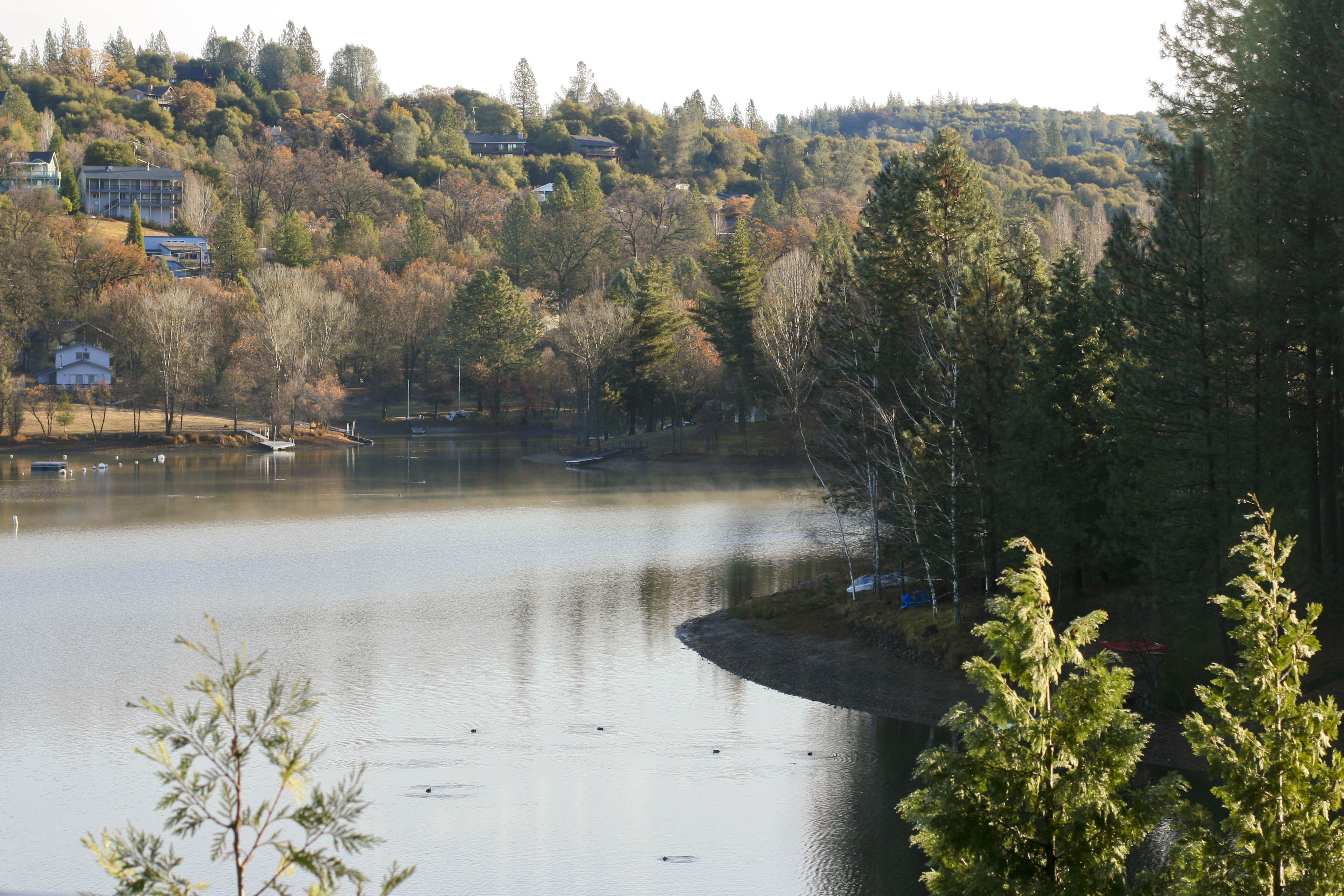
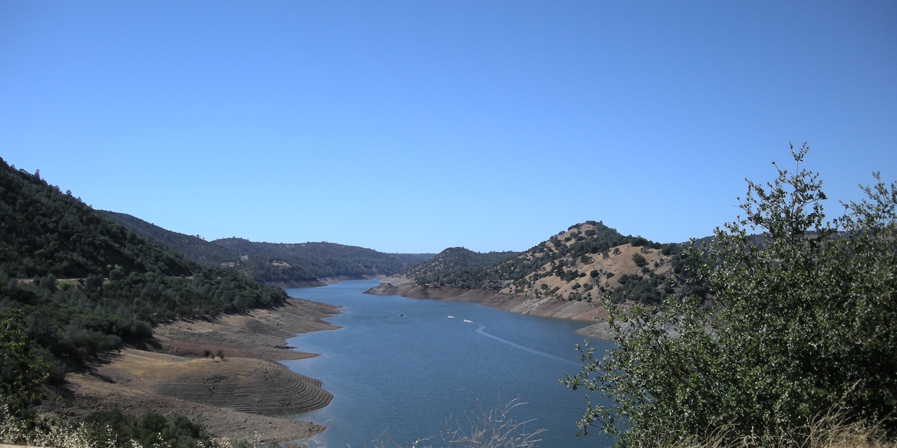
Lake View

giant chain fern
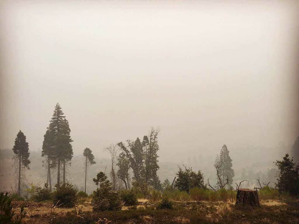
the morning view from mom’s place: smmmmmmoky

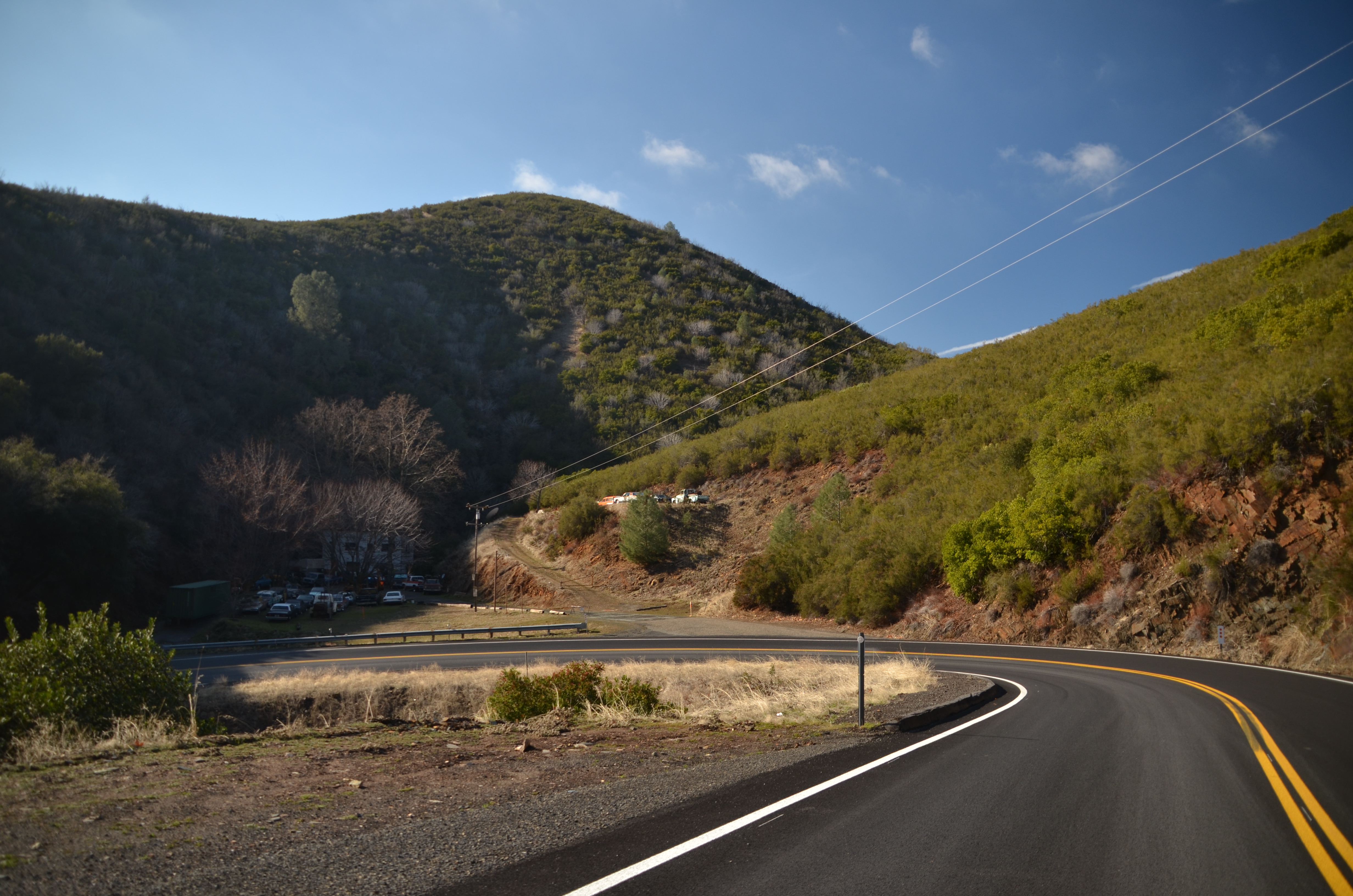
View from the new Priest Grade Road to the Old Priest Grade Road in California
christmas morning view from mom’s house

View along the trackbed
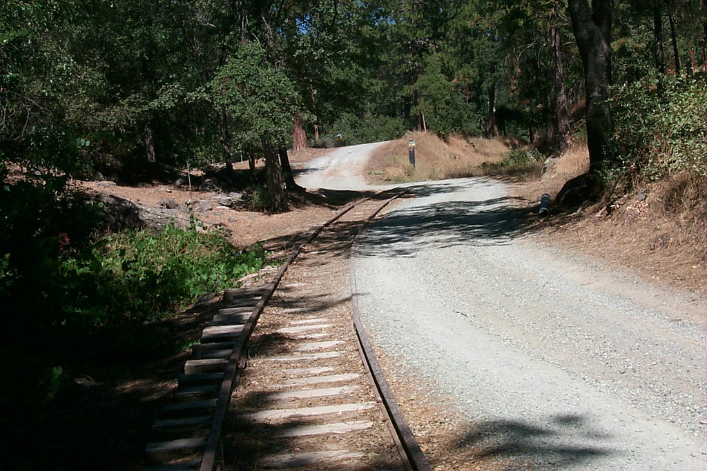
View along the trackbed
Trip to Yosemite 053
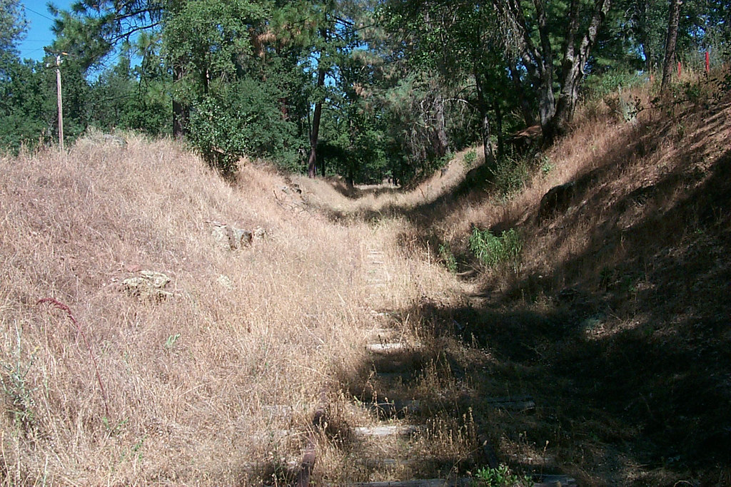
View along the trackbed

Sanding tower
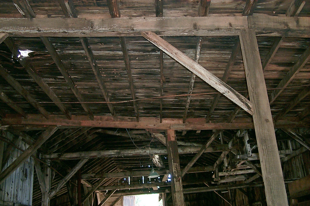
Underside of the shed roof

Trip to Yosemite 032
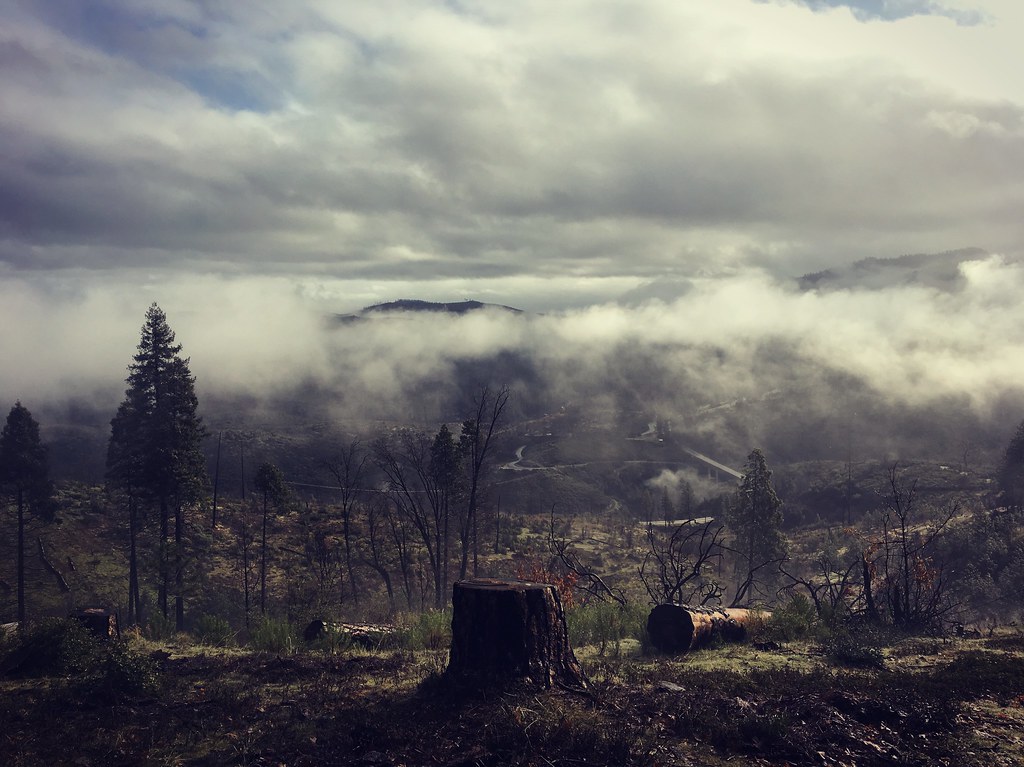
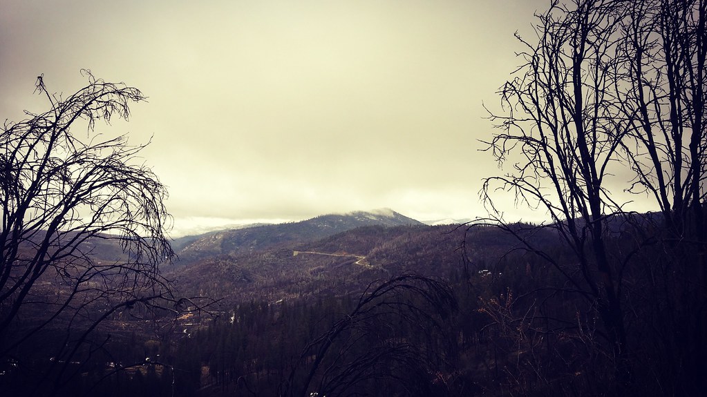
view from Mom’s house, this morning — clearing after yesterday’s huge storm!
Trip to Yosemite 042

Trip to Yosemite 048
Trip to Yosemite 080
Rest Stop River View

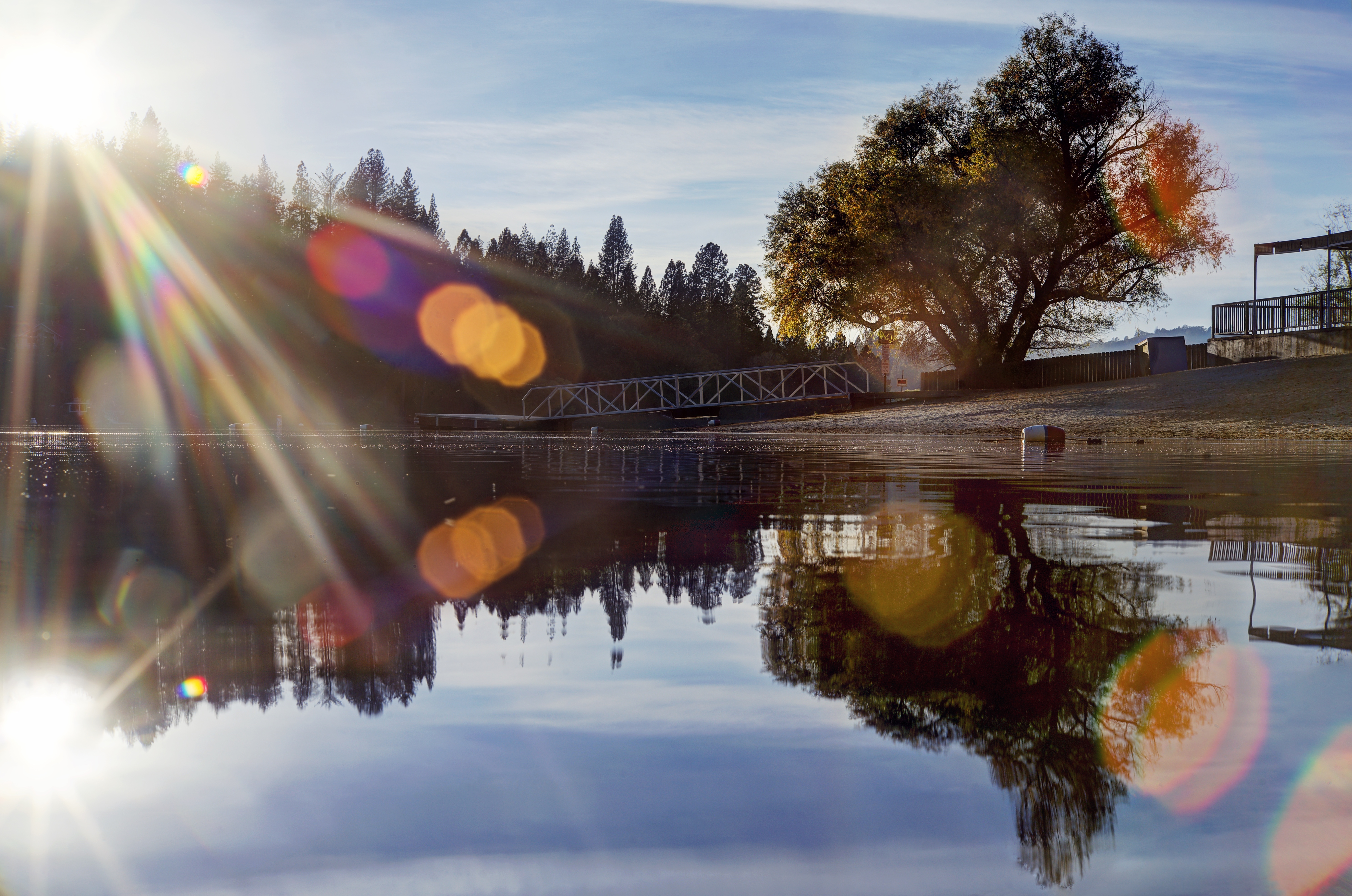
Marina View

Yosemite 129
Canyon of the Tuolumne

Sadness in the Forest
back home at Mom’s house, and the light is still gorgeous!!
after a somewhat-harrowing drive over the Grapevine in PELTING rain, we made our way up to Mom’s in the sierra — and snow on the distant peaks!
I remember how to daydream
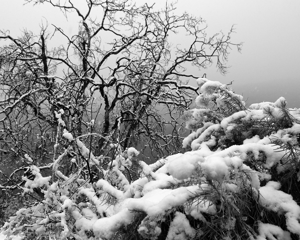
Snow and Trees, Tuolumne County, CA
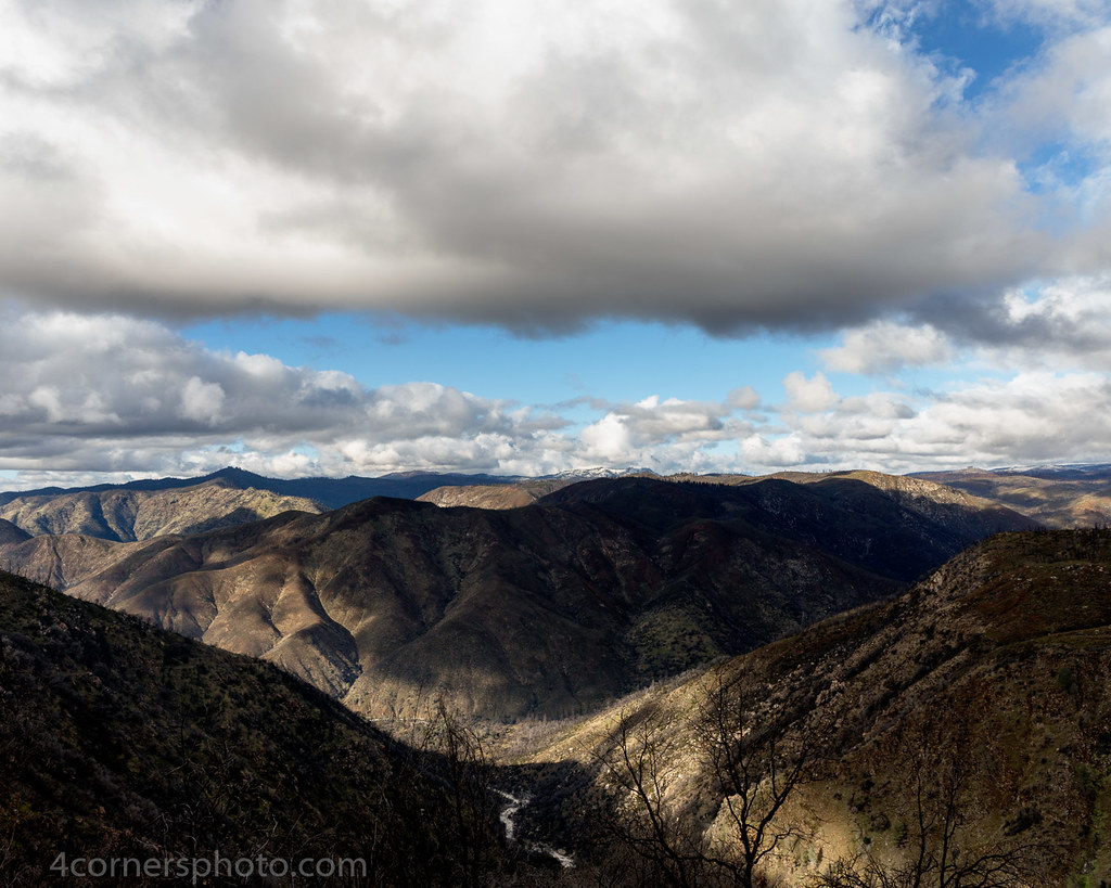
Winter Clouds, Buck Meadows, CA
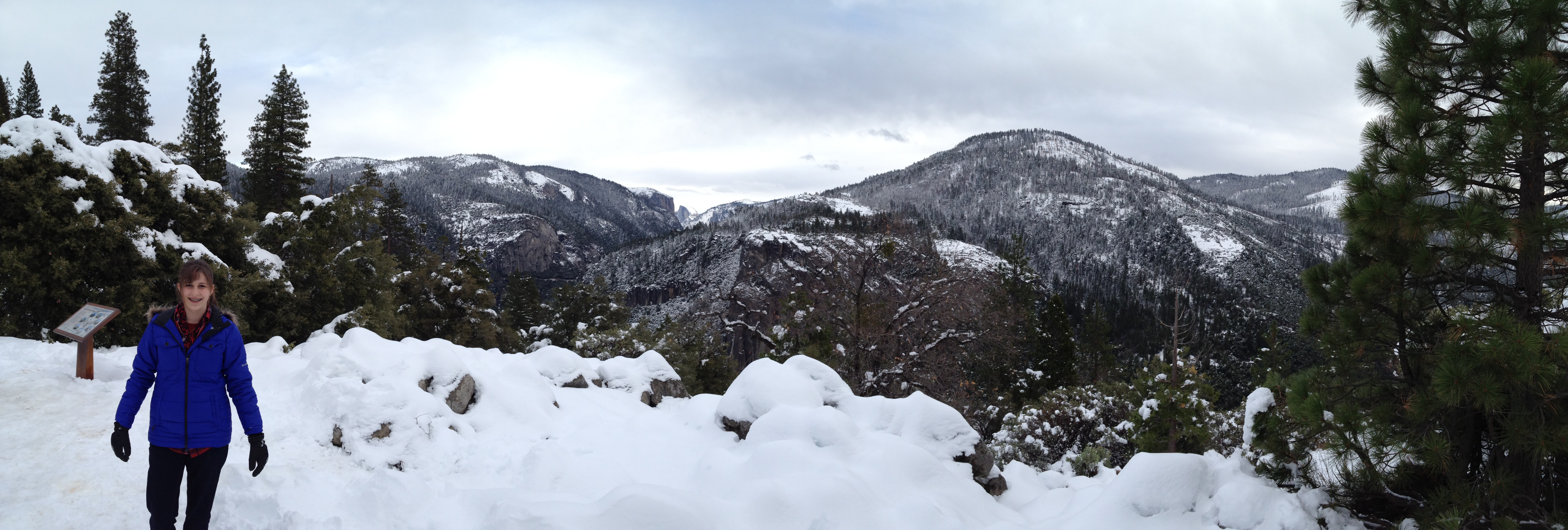
Maddy and me in Yosemite
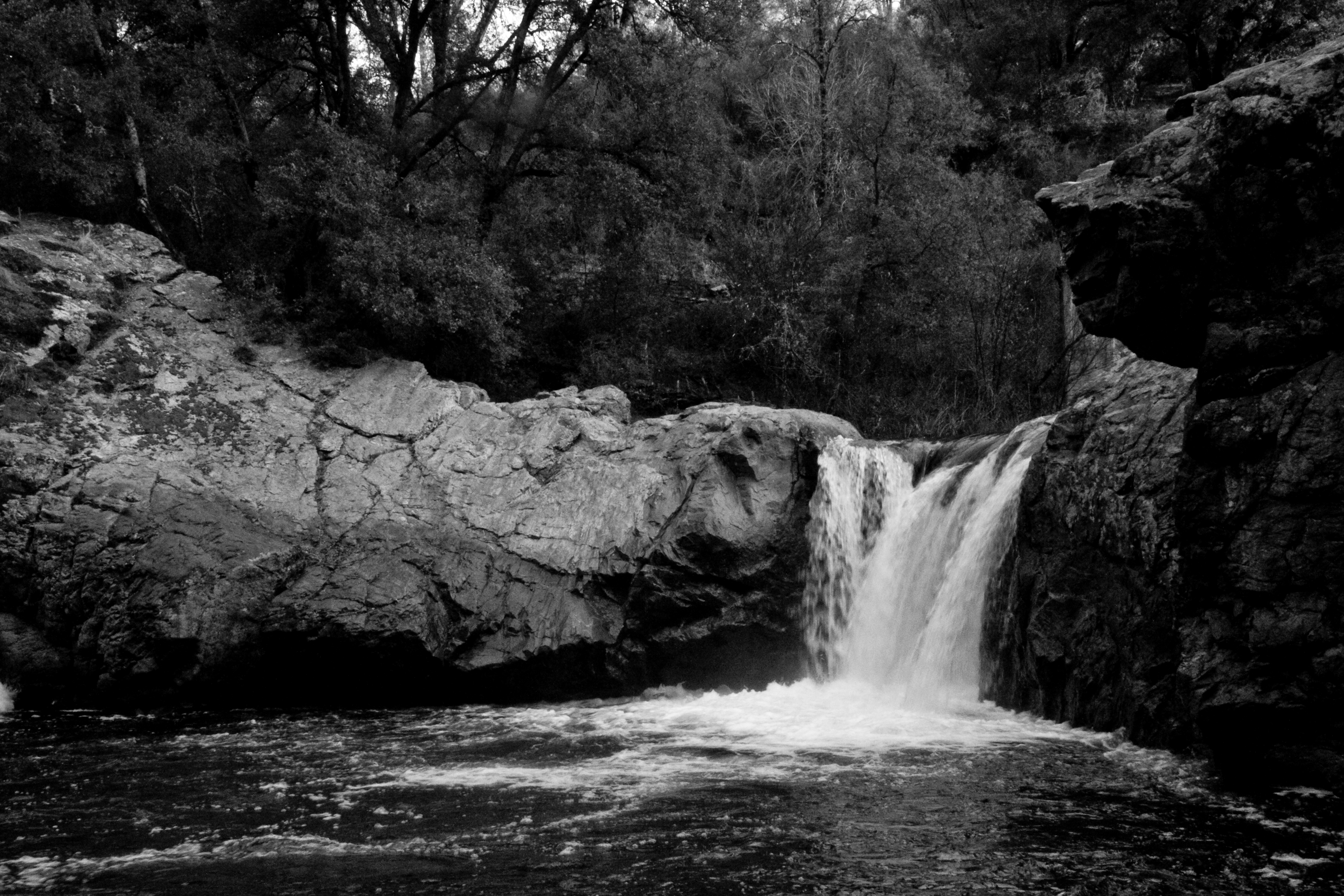
Rainbow Falls & Pools (347/365)
107 - Yosemite
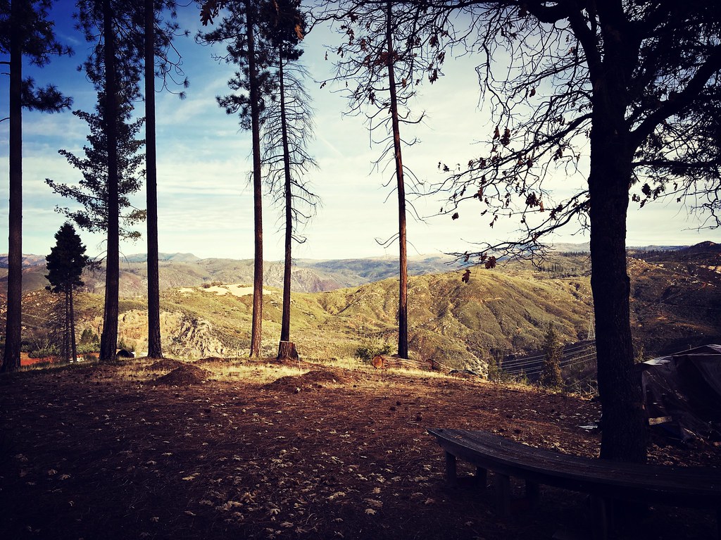
{rim of the world}
night vista
The Tuolumne Drainage

Don Pedro Reservoir Panorama
Route to Yosemite
TahoeAndYosemite07 - 14
Topographic Map of Cresthaven Dr, Groveland, CA, USA
Find elevation by address:

Places near Cresthaven Dr, Groveland, CA, USA:
12899 Green Valley Cir
20273 Upper Skyridge Dr
20273 Upper Skyridge Dr
20043 Pine Mountain Dr
Larkspur Court
Ferretti Road
19960 Pleasantview Dr
White's Gulch Road
19480 Pleasantview Dr
13121 Wells Fargo Dr
Tannahill Drive & Pine Mountain Drive
Groveland Hotel
United States Postal Service
Groveland
19205 2nd Garrotte Ridge Rd
10922 Merrell Rd
18619 Laurel Ave
Buck Meadows
Buck Meadows Rd, Coulterville, CA, USA
19005 Carter St
Recent Searches:
- Elevation of Groblershoop, South Africa
- Elevation of Power Generation Enterprises | Industrial Diesel Generators, Oak Ave, Canyon Country, CA, USA
- Elevation of Chesaw Rd, Oroville, WA, USA
- Elevation of N, Mt Pleasant, UT, USA
- Elevation of 6 Rue Jules Ferry, Beausoleil, France
- Elevation of Sattva Horizon, 4JC6+G9P, Vinayak Nagar, Kattigenahalli, Bengaluru, Karnataka, India
- Elevation of Great Brook Sports, Gold Star Hwy, Groton, CT, USA
- Elevation of 10 Mountain Laurels Dr, Nashua, NH, USA
- Elevation of 16 Gilboa Ln, Nashua, NH, USA
- Elevation of Laurel Rd, Townsend, TN, USA