Elevation of Crane Creek Township, MO, USA
Location: United States > Missouri > Barry County >
Longitude: -93.642048
Latitude: 36.8769901
Elevation: 415m / 1362feet
Barometric Pressure: 96KPa
Elevation Map:
Satellite Map:
Related Photos:

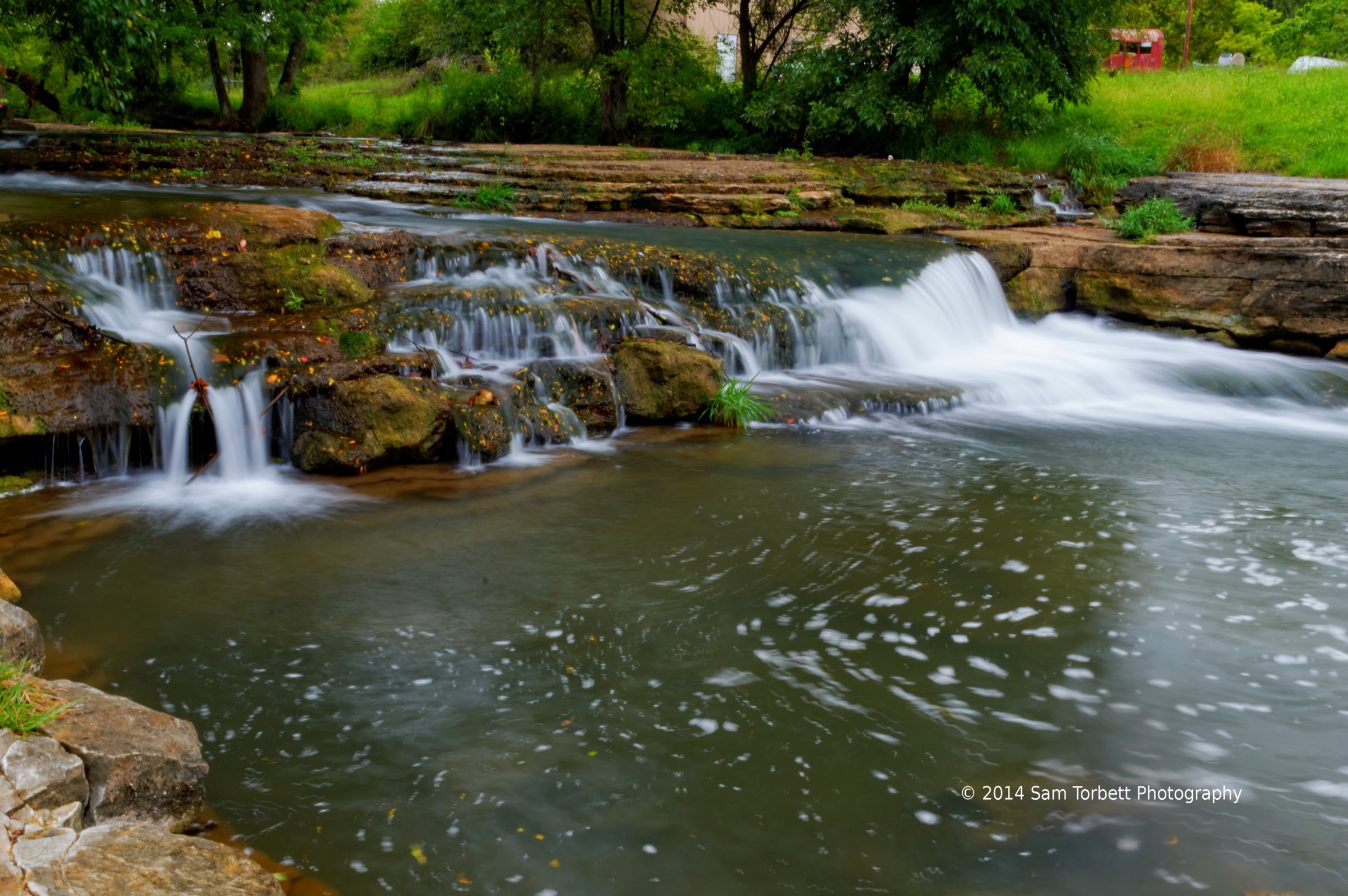
Flat Creek 2080-Side View
Flat Creek SIde View
Spring Creek
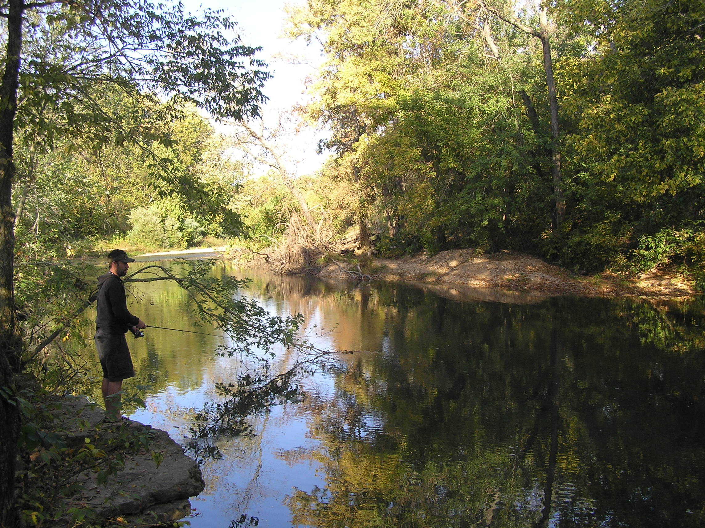
Kori Fishing the creek

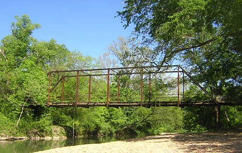
Missouri Bridge

Skyline Drive, Mark Twain National Forest

A Snail
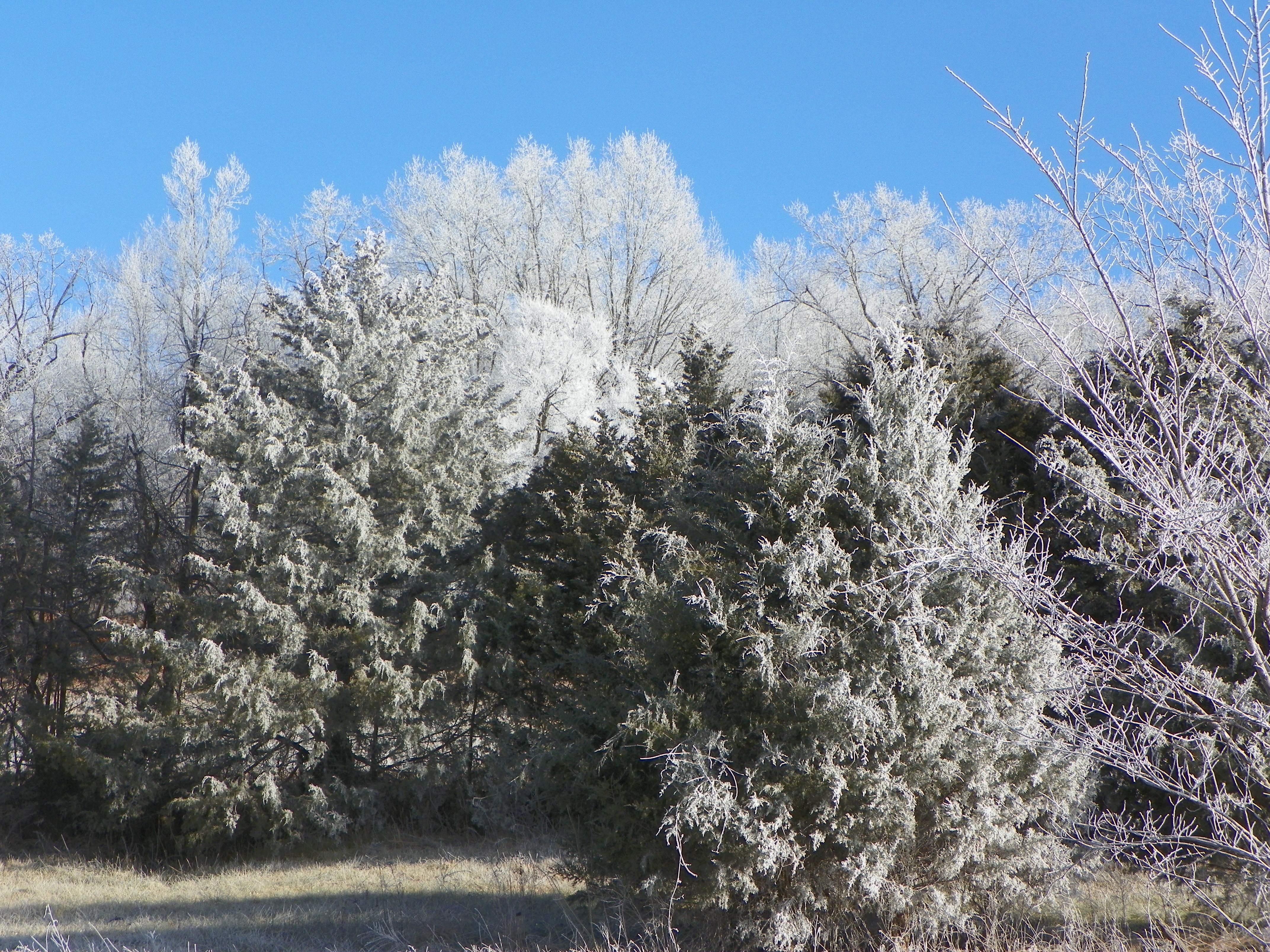
Frosty winter day
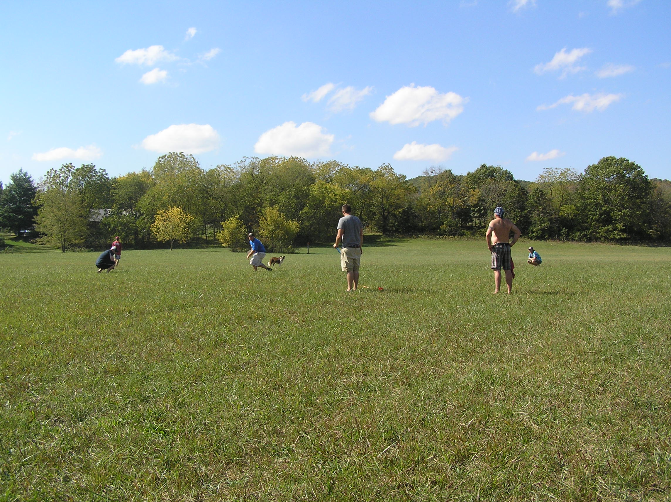
Outstanding in our Field
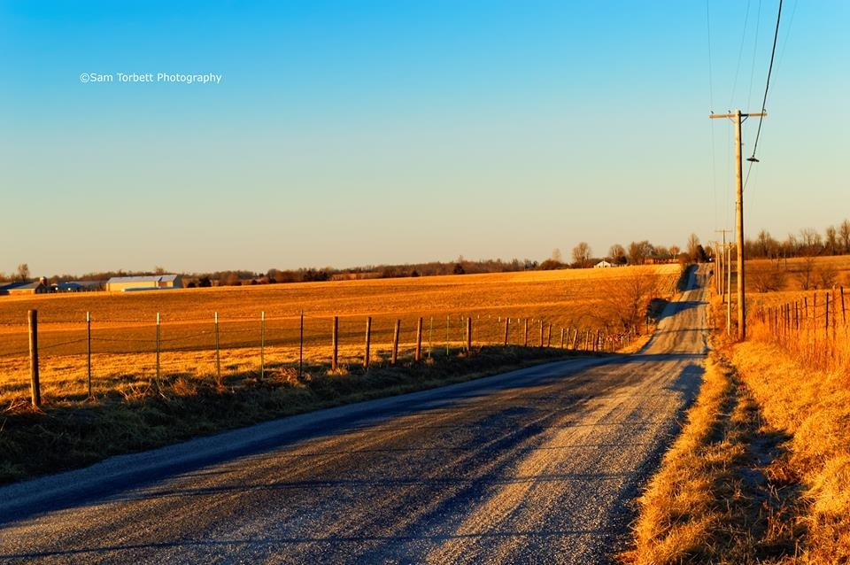
Country Road at Sunset
Topographic Map of Crane Creek Township, MO, USA
Find elevation by address:

Places in Crane Creek Township, MO, USA:
Places near Crane Creek Township, MO, USA:
MO-, Crane, MO, USA
Wheelerville
349 August Dr
Lawrence, Aurora, MO, USA
23892 Farm Rd 2085
N Commerce St, Crane, MO, USA
Crane
19366 Fr 2065
Pierce Township
134 Circle C Ln
Sunset Drive In Theatre
Alpine Wood Products
Lincoln Township
Aurora
198 Mo-265
200 N Elliott Ave
208 N Elliott Ave
210 N Elliott Ave
212 N Elliott Ave
214 N Elliott Ave
Recent Searches:
- Elevation of Corso Fratelli Cairoli, 35, Macerata MC, Italy
- Elevation of Tallevast Rd, Sarasota, FL, USA
- Elevation of 4th St E, Sonoma, CA, USA
- Elevation of Black Hollow Rd, Pennsdale, PA, USA
- Elevation of Oakland Ave, Williamsport, PA, USA
- Elevation of Pedrógão Grande, Portugal
- Elevation of Klee Dr, Martinsburg, WV, USA
- Elevation of Via Roma, Pieranica CR, Italy
- Elevation of Tavkvetili Mountain, Georgia
- Elevation of Hartfords Bluff Cir, Mt Pleasant, SC, USA