Elevation of Craghill Dr, Cedar Glen, CA, USA
Location: United States > California > San Bernardino County > Lake Arrowhead > Cedar Glen >
Longitude: -117.16392
Latitude: 34.253516
Elevation: 1639m / 5377feet
Barometric Pressure: 83KPa
Elevation Map:
Satellite Map:
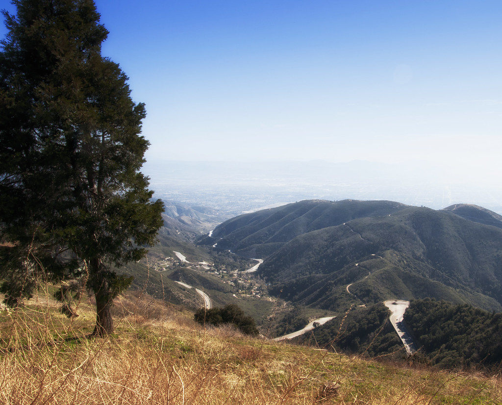
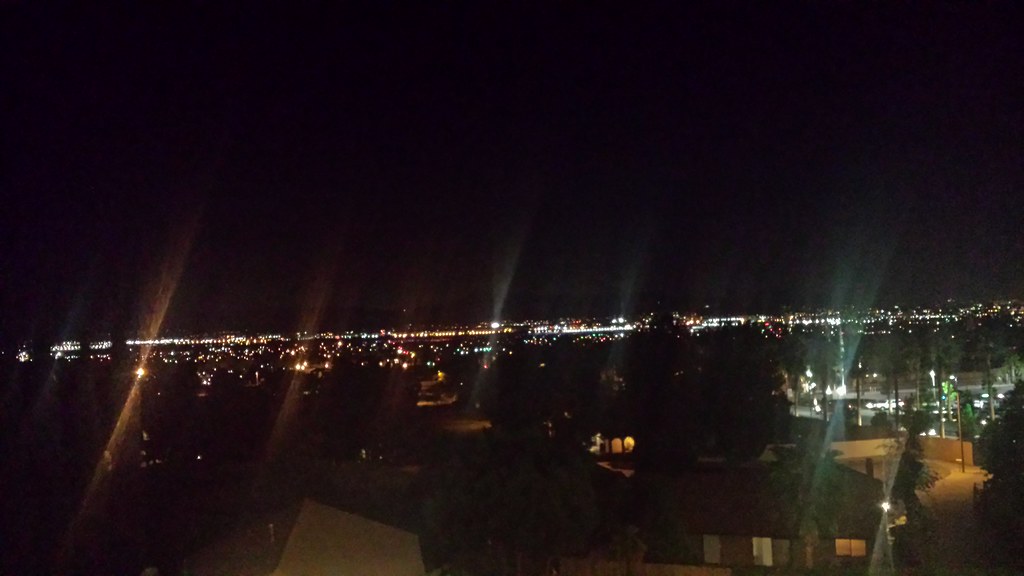
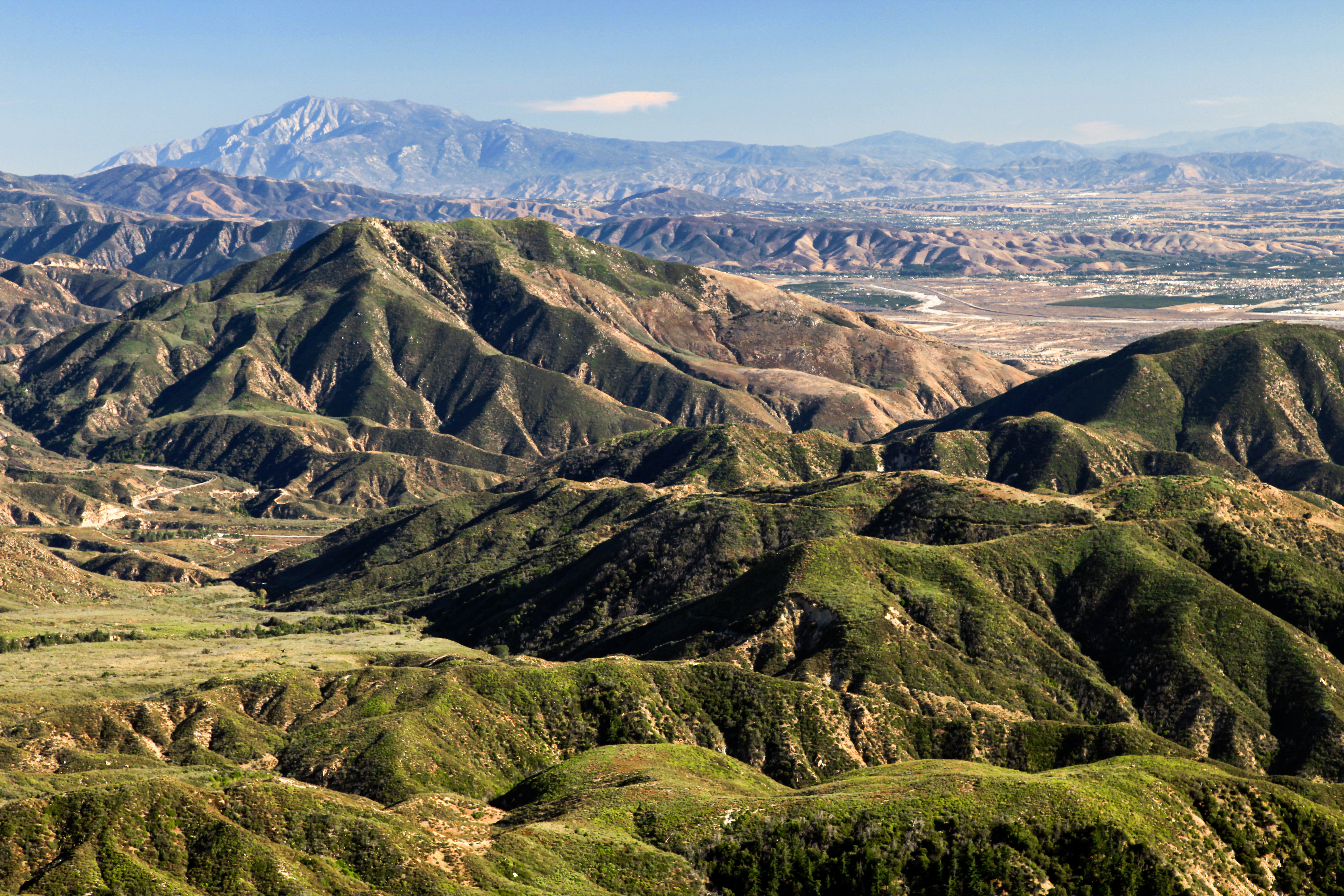
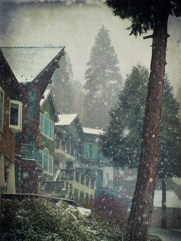
Related Photos:
South from Marie Louise
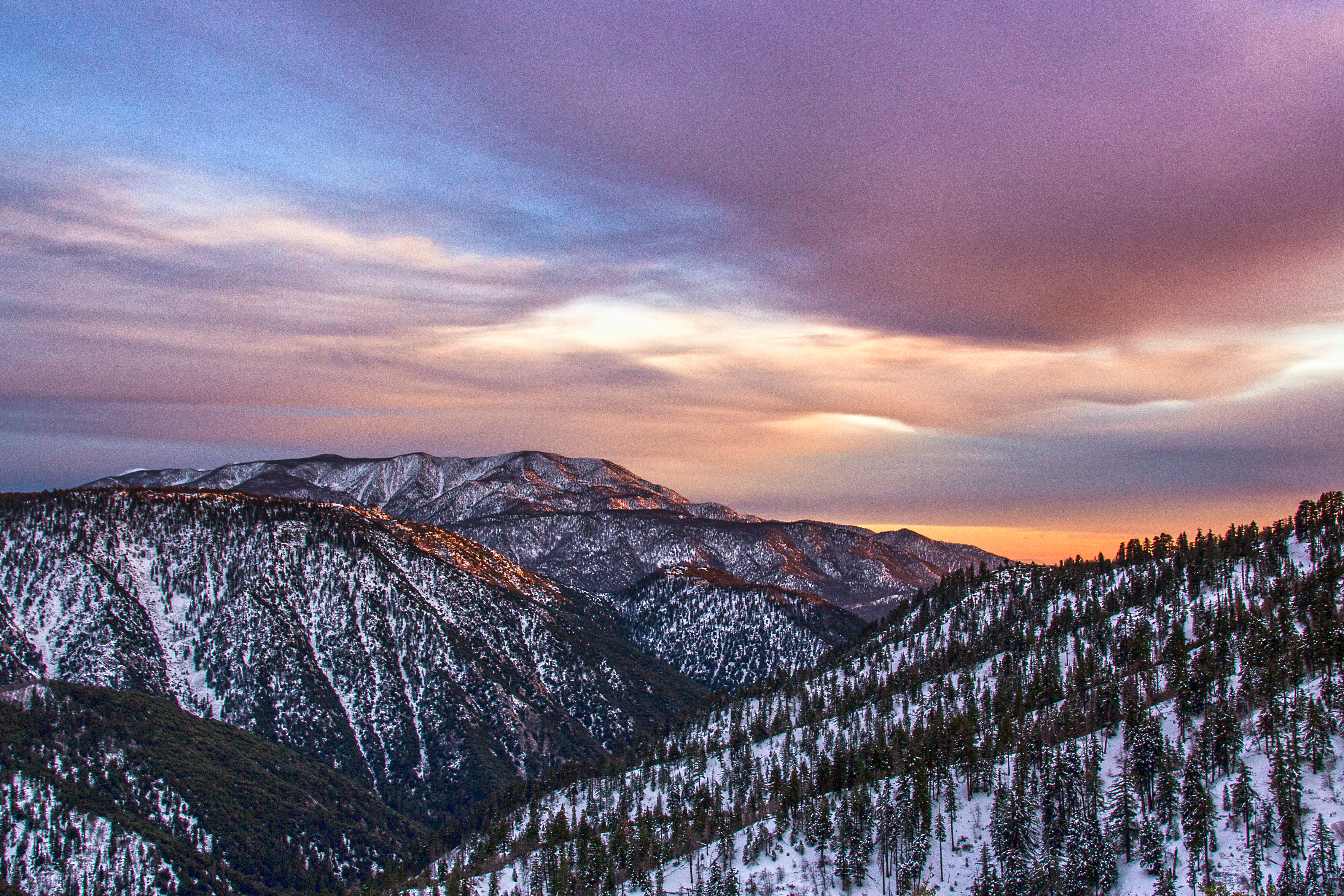
Winter Sky, San Bernardino Mountains [Explored]
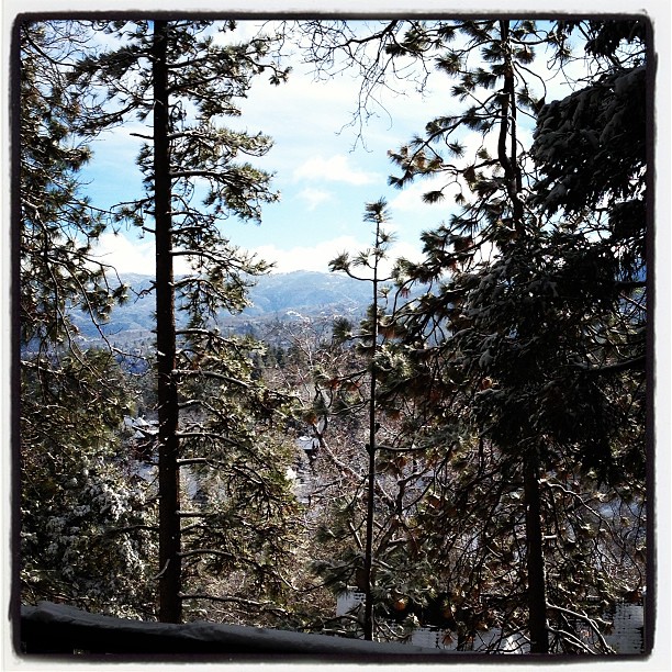
Morning #view #snow
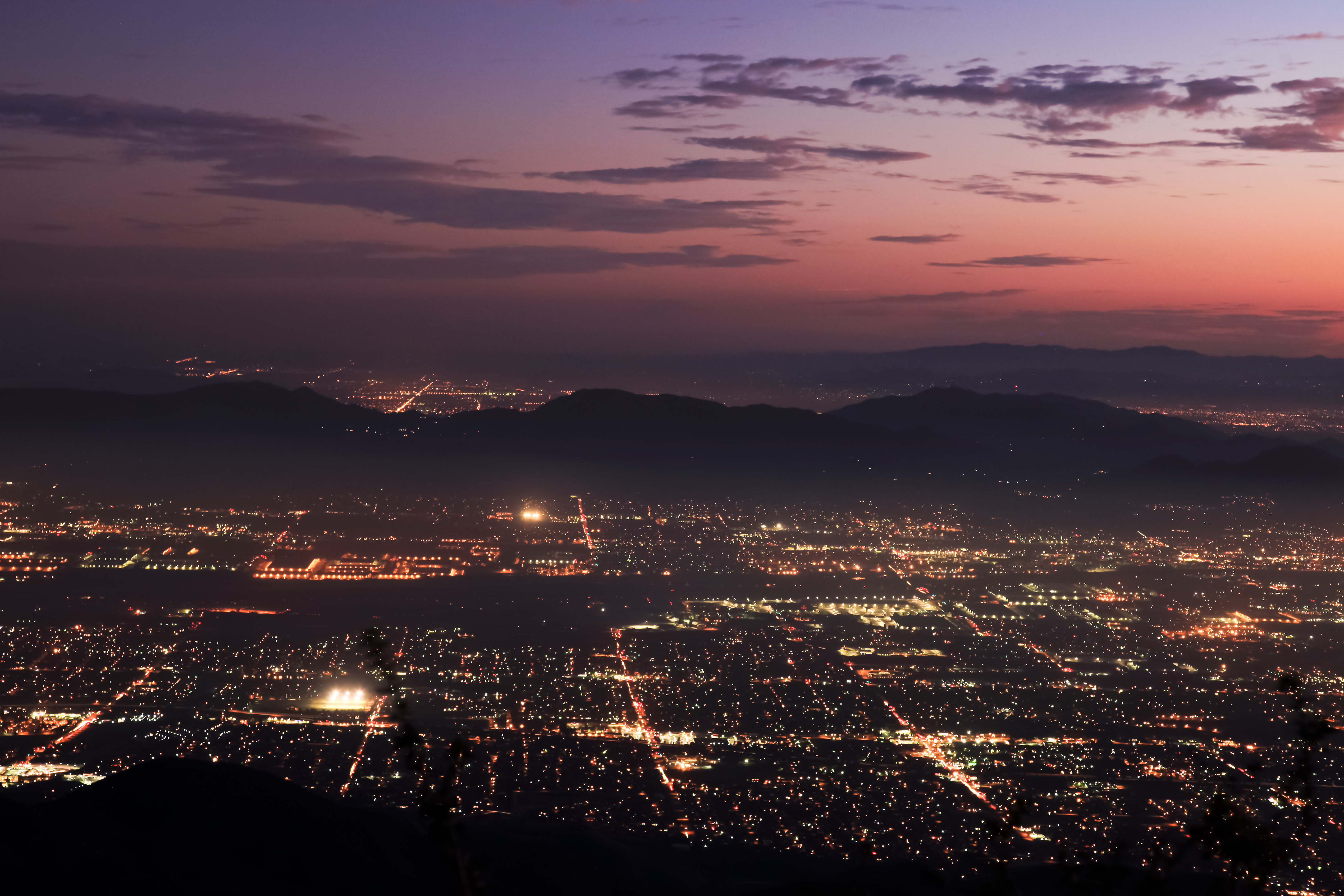
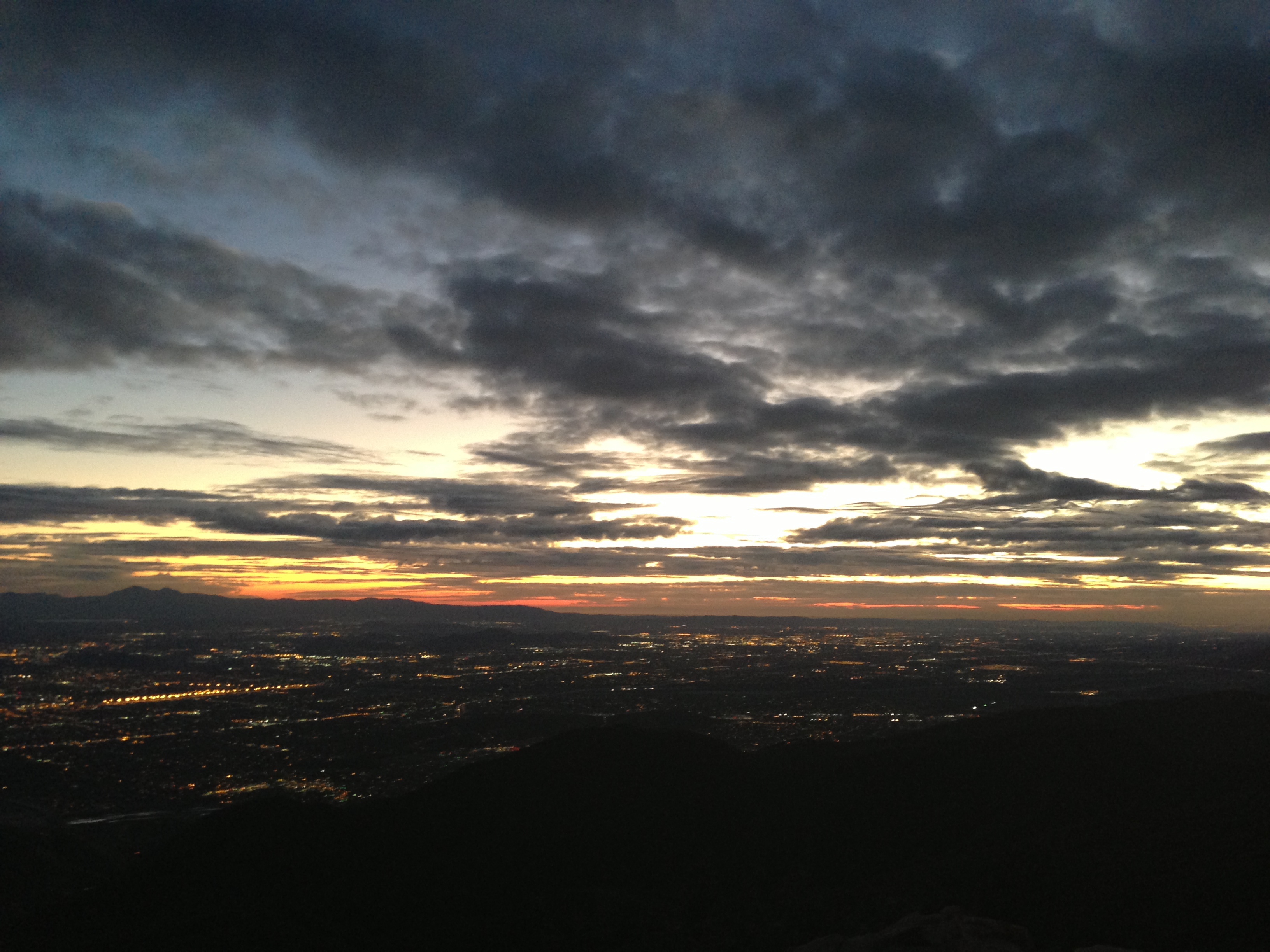
Nighttime over the Inland Empire
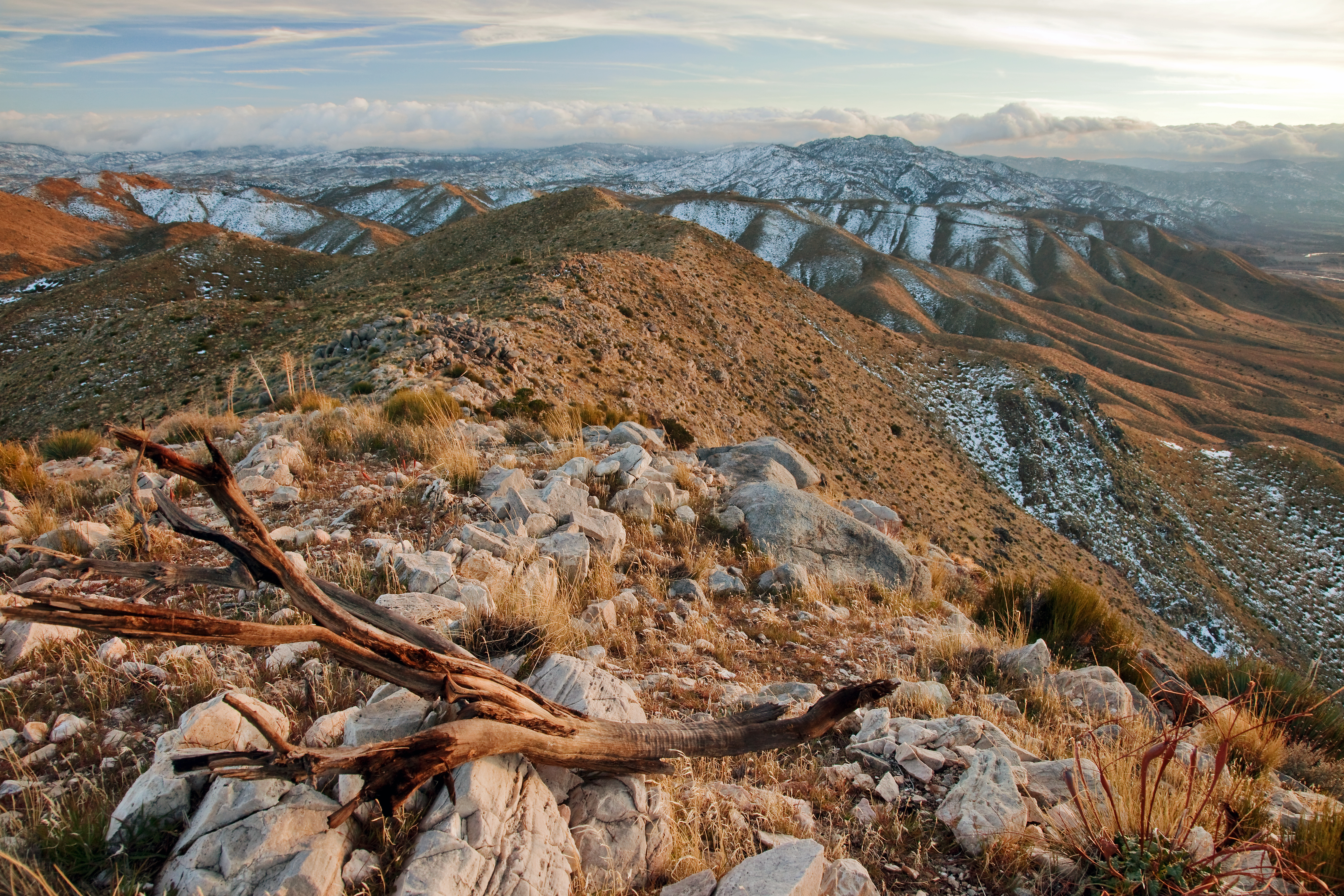
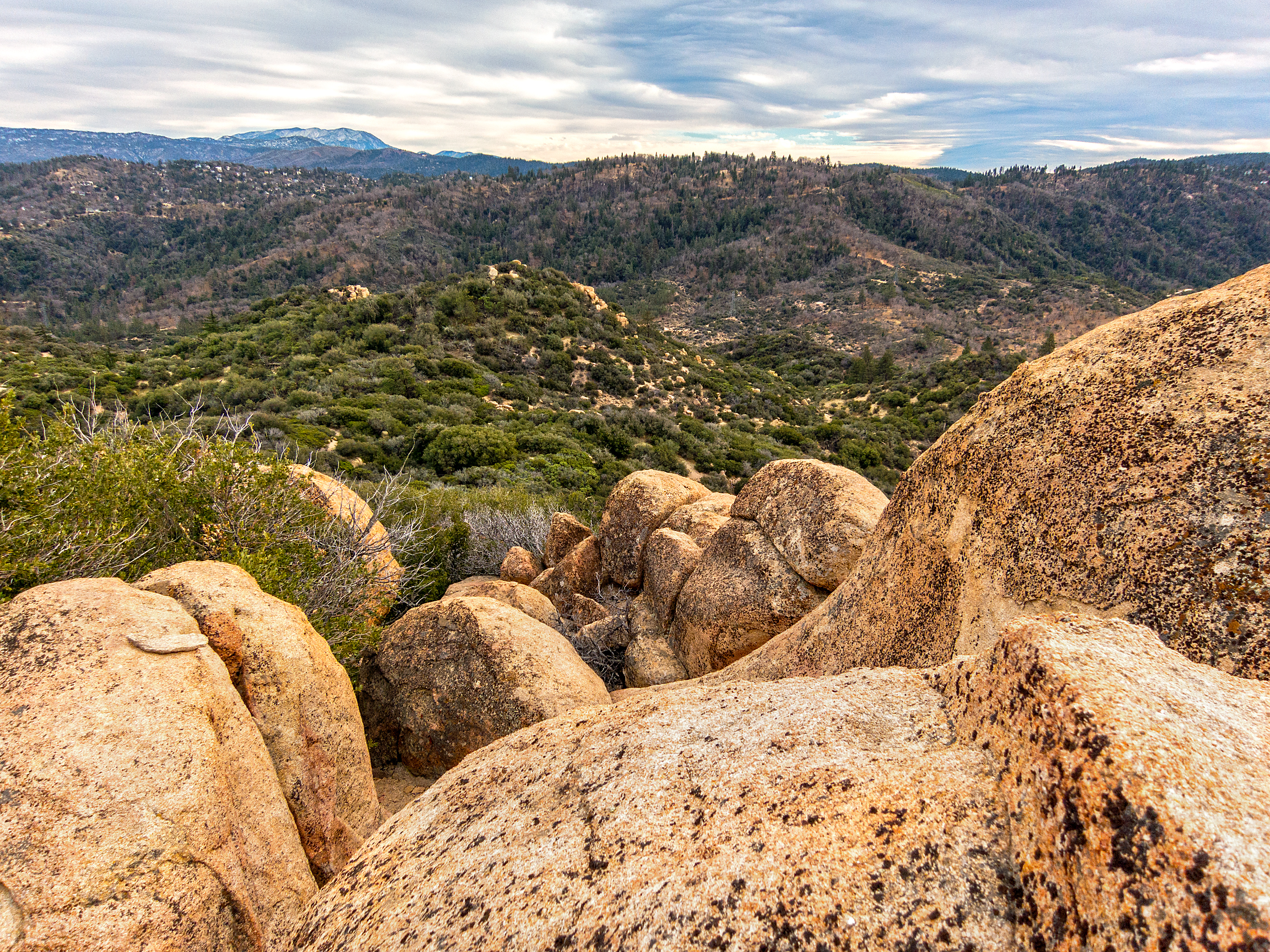
View South from Point 4948
Green Topographic

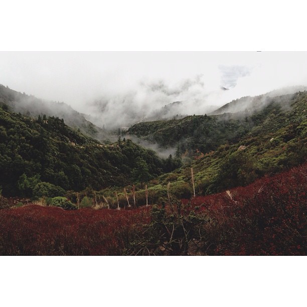
Islands in the Mist
Cal-3 024

Blue-throated Hummingbird

Blue-throated Hummingbird
My Dog

yesterday @bubbiefied and our friend Caleb and I went to Silverwood Lake, and the view of the sunrise was amazing. #nofilter

Blue-throated Hummingbird
A View of the Mountain Road in Crestline, California
Night View
Crumbled Landscape
village cove homes
Wildwood Park, Recreation & Community Center - San Bernardino

MaxFunCon 2010 - The view from my condolet
Last Light, Lake Arrowhead

Turn of the Seasons

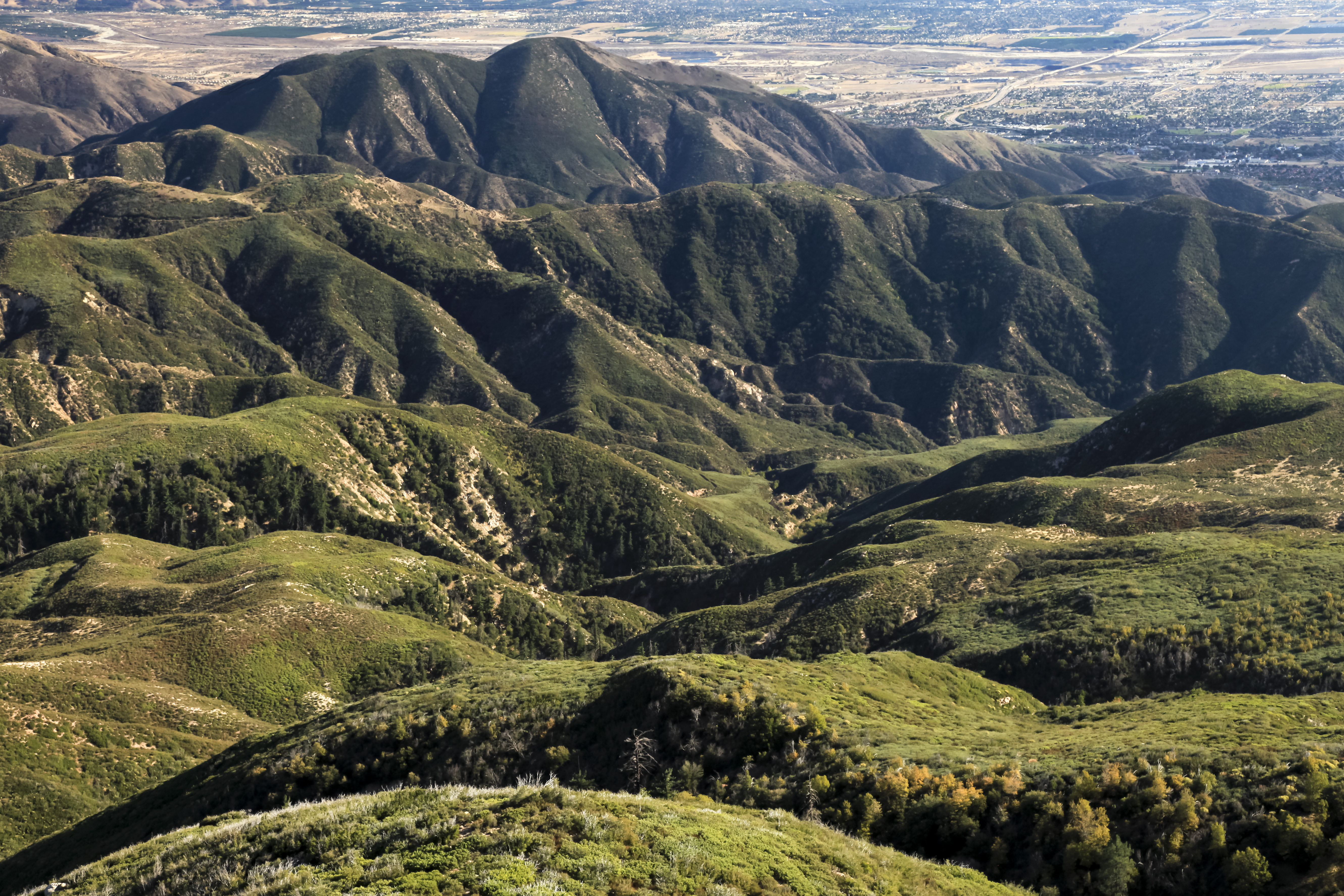
San Bernardino city and National Forest
Deserted highway

Above it all
On the Rim of the World

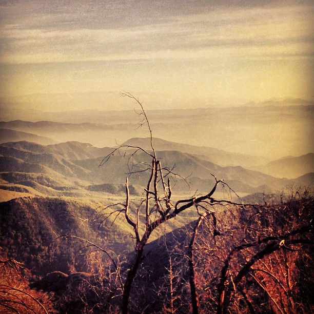
Dead But Still Living

After the Storm, Ord Mountains [Explored]
San Bernardino National Forest, California
"Just #go." #saturday #goodmorning #runningsprings

#sanbernardinomountains #mountains #runningsprings #hwy18

Blue lake. #LakeArrowhead
dark city
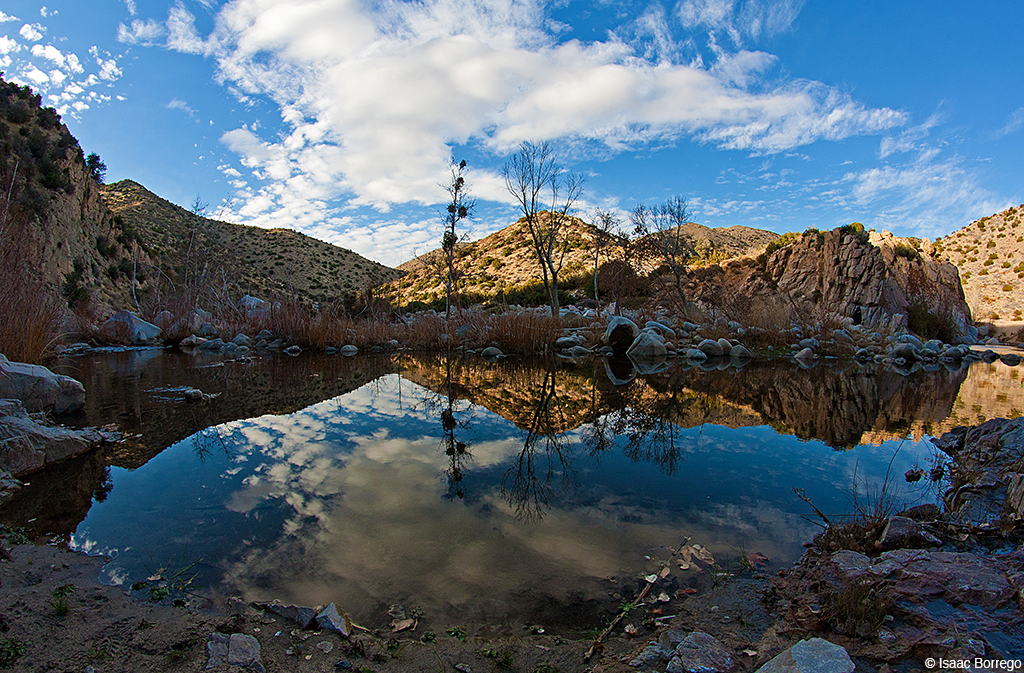
Canyon Reflections - Deep Creek, California
Waterfall of Light
Rim of the World Area - 6
Big Bear
Towering Mountains

#GreenValleyLake

110-365 Fishing Reconnaissance
Topographic Map of Craghill Dr, Cedar Glen, CA, USA
Find elevation by address:

Places near Craghill Dr, Cedar Glen, CA, USA:
Cedar Glen
28990 Palisades Dr
28913 Mohawk Dr
29101 Hospital Rd
Klamath Drive
Wabash Drive
1242 Acadia Dr
CA-18, Skyforest, CA, USA
Skyforest
810 Oakmont Ln
Pintail Cir, Lake Arrowhead, CA, USA
Lake Arrowhead Village
774 Lake Dr
Mittry Drive
966 Willow Creek Rd
775 Arrowhead Villa Rd
Lake Arrowhead
707 Virginia Ct
28344 Altamont Ct
881 Arrowhead Villa Rd
Recent Searches:
- Elevation of Zimmer Trail, Pennsylvania, USA
- Elevation of 87 Kilmartin Ave, Bristol, CT, USA
- Elevation of Honghe National Nature Reserve, QP95+PJP, Tongjiang, Heilongjiang, Jiamusi, Heilongjiang, China
- Elevation of Hercules Dr, Colorado Springs, CO, USA
- Elevation of Szlak pieszy czarny, Poland
- Elevation of Griffing Blvd, Biscayne Park, FL, USA
- Elevation of Kreuzburger Weg 13, Düsseldorf, Germany
- Elevation of Gateway Blvd SE, Canton, OH, USA
- Elevation of East W.T. Harris Boulevard, E W.T. Harris Blvd, Charlotte, NC, USA
- Elevation of West Sugar Creek, Charlotte, NC, USA