Elevation of Crabtree Dr, Marshall, NC, USA
Location: United States > North Carolina > Madison County > 1, North Marshall > Marshall >
Longitude: -82.595682
Latitude: 35.7964793
Elevation: -10000m / -32808feet
Barometric Pressure: 295KPa
Elevation Map:
Satellite Map:
Related Photos:

Red Barn with Tree

Google Maps Street View Camera Car

Mars Theatre
The Bank

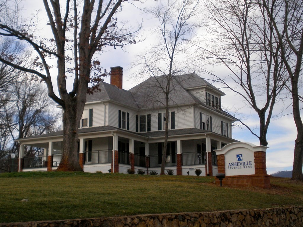
Old House ☛ New Bank

East of Dillingham

In the Library at Weaverville, NC

You Are the Sunflower of My Life - Apologies to Stevie Wonder! View large. Explore November 3, 2012.

Google Maps Street View Camera Car

HDR Rainbow

Nearly Engulfed

Google Maps Street View Camera Car

Google Maps Street View Camera Car
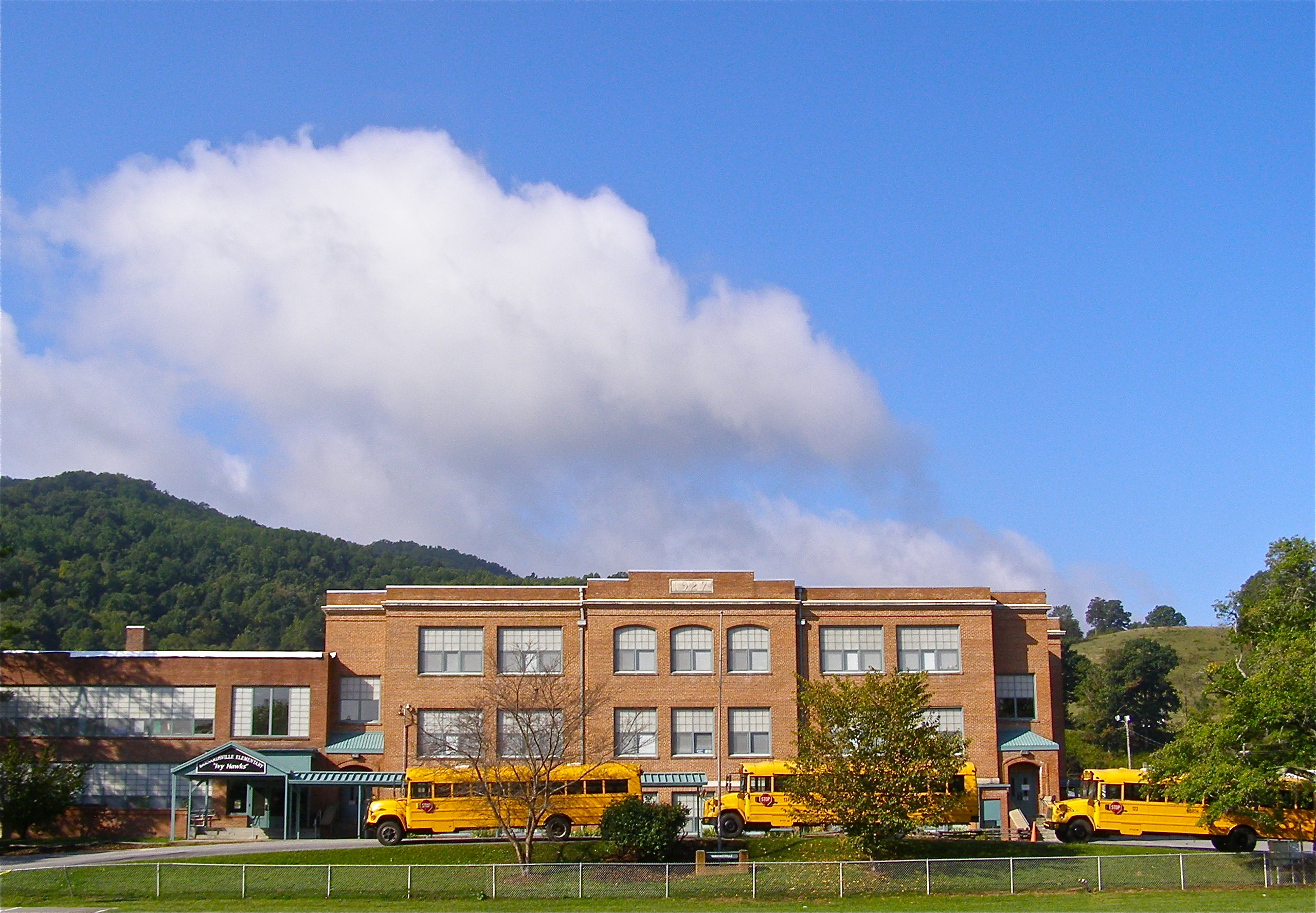
Mountain School

Google Maps Street View Camera Car

Google Maps Street View Camera Car

Carter-Swain House
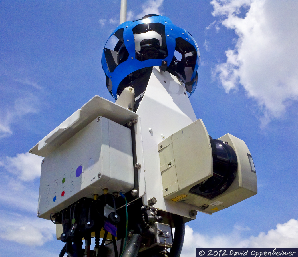
Google Maps Street View Camera Car

Google Maps Street View Camera Car

Carter-Swain House

Little Snowball Fire Tower, 1934

Grey Winter Creek

Pond at Reems Creek

Red Barn

Water, Soil, Seed, Work = Vegetables!

Rainbow after Appalachian Mountain Thunderstorm

Main Street - Original Art Painting

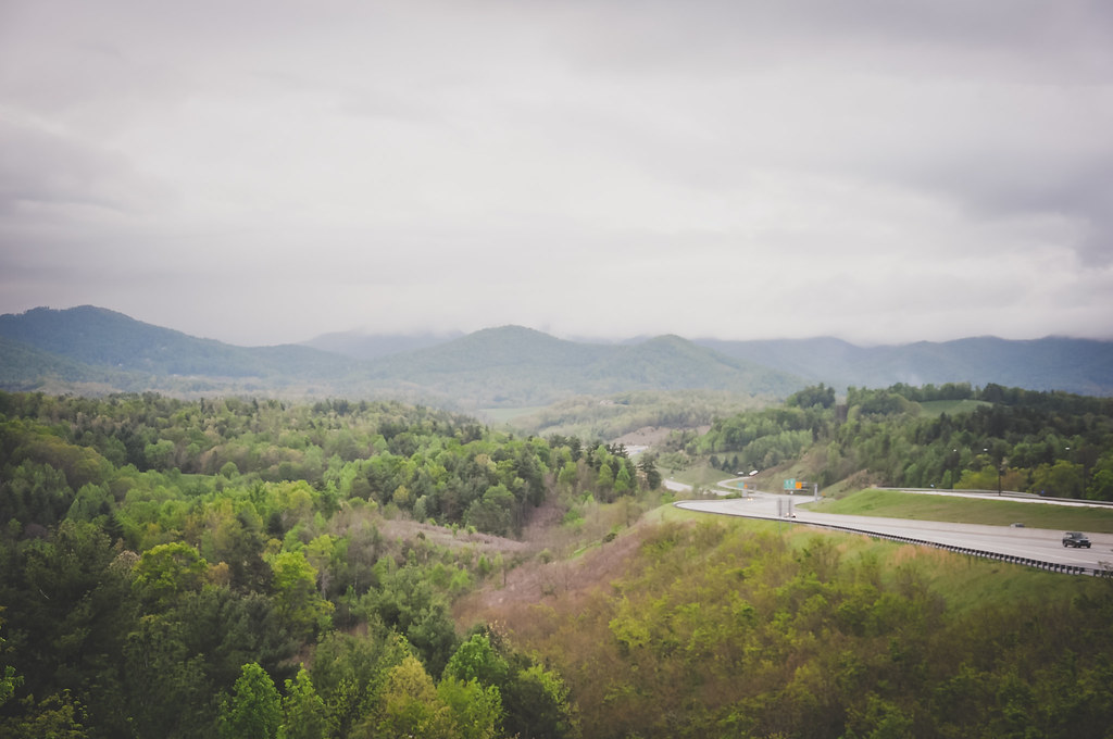
784 crosses the French Broad

Waterfall at Lake Louise (Weaverville, North Carolina)
Mountains in North Carolina

Haw Branch Barns

Sunrise over the Appalachians
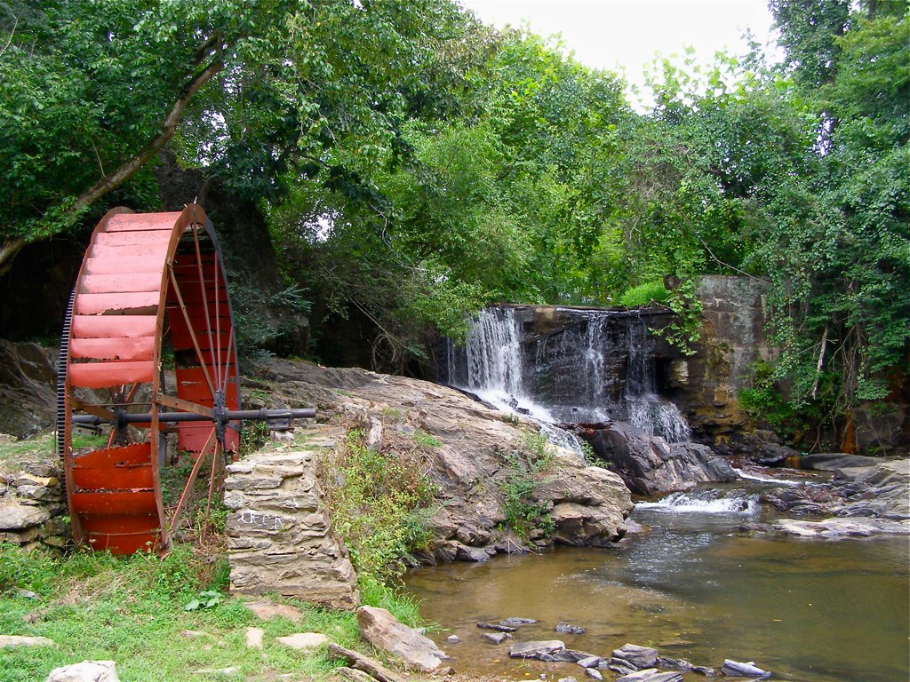
Reems Creek Old Mill Site

Rock Silo, Barnardsville

Retention Basin

Flat Creek Oak

Morning at the Cabin

Light Snow

Tiny Purple Retreat - Original Art Painting

Cone Flowers :: Original Art Painting
Topographic Map of Crabtree Dr, Marshall, NC, USA
Find elevation by address:

Places near Crabtree Dr, Marshall, NC, USA:
3663 Bull Creek Rd
Big Creek Road
Whiteoak Road
2370 Bull Creek Rd
3426 Bend Of Ivy Rd
3293 Gabriels Creek Rd
3256 Gabriels Creek Rd
208 Holly Glen Ln
208 Holly Glen Ln
3351 Gabriels Creek Rd
3652 Gabriels Creek Rd
3, Mars Hill
Lower Gabriels Creek Road
1526 Woods Ammons Rd
329 Bull Creek Rd
714 River Bend Dr
Bull Creek
260 Ivy Trail
Hill Merrill Road
Jupiter
Recent Searches:
- Elevation of Beall Road, Beall Rd, Florida, USA
- Elevation of Leguwa, Nepal
- Elevation of County Rd, Enterprise, AL, USA
- Elevation of Kolchuginsky District, Vladimir Oblast, Russia
- Elevation of Shustino, Vladimir Oblast, Russia
- Elevation of Lampiasi St, Sarasota, FL, USA
- Elevation of Elwyn Dr, Roanoke Rapids, NC, USA
- Elevation of Congressional Dr, Stevensville, MD, USA
- Elevation of Bellview Rd, McLean, VA, USA
- Elevation of Stage Island Rd, Chatham, MA, USA