Elevation of CR 13 S, St Augustine, FL, USA
Location: United States > Florida > St. Johns County > St. Augustine >
Longitude: -81.550846
Latitude: 29.807629
Elevation: 3m / 10feet
Barometric Pressure: 101KPa
Elevation Map:
Satellite Map:
Related Photos:
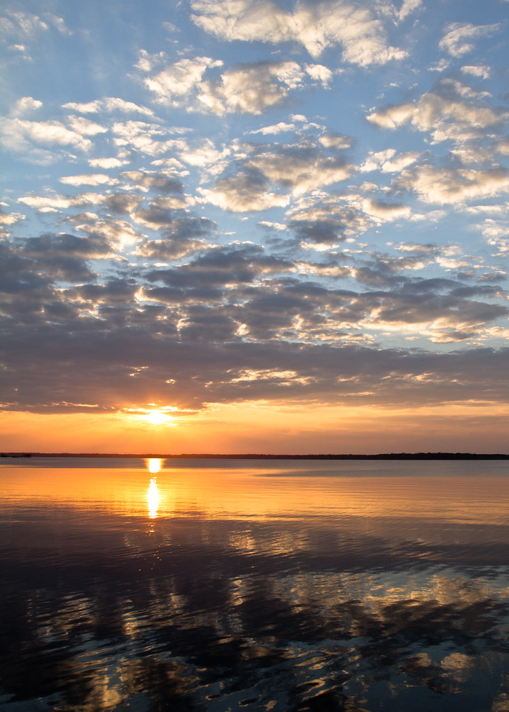
Sunset on Saint John's River
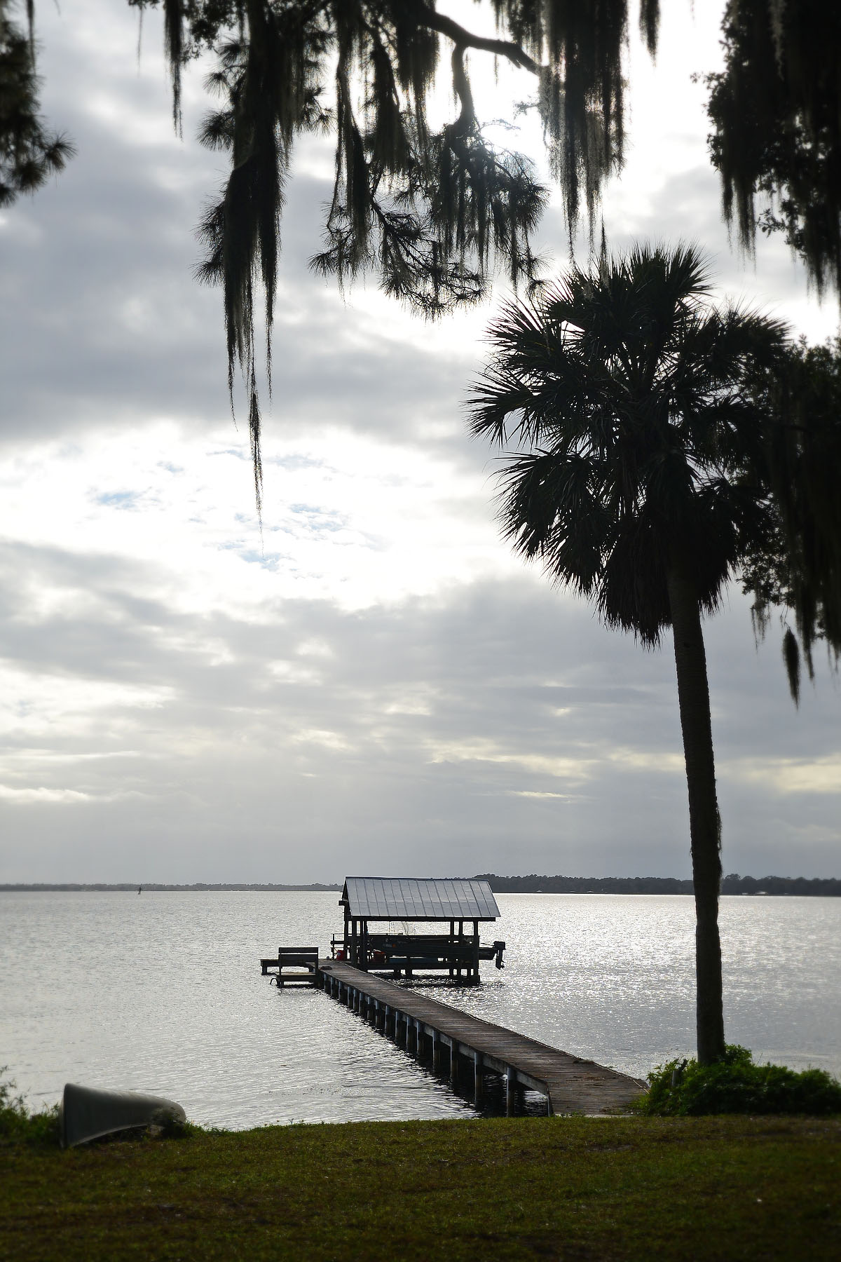
To Federal Point

St Johns River
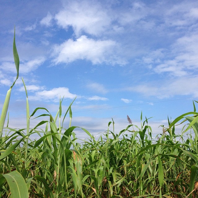
Corn for days and daze. #igersjax #sykesfarm #cornmaze #nofilter
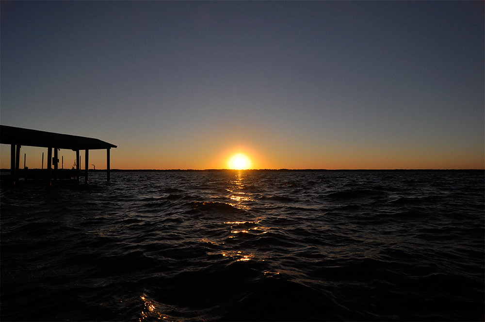
Sunset on the St John's River

I happened upon some awesome sky yesterday. This 8 image stitch was shot high above a farm in Elkton, FL. #iflydji #djicreators #gopro #hero3plus #djiphantom #igersjax #igersstaugustine #igersflorida #pano #squareready
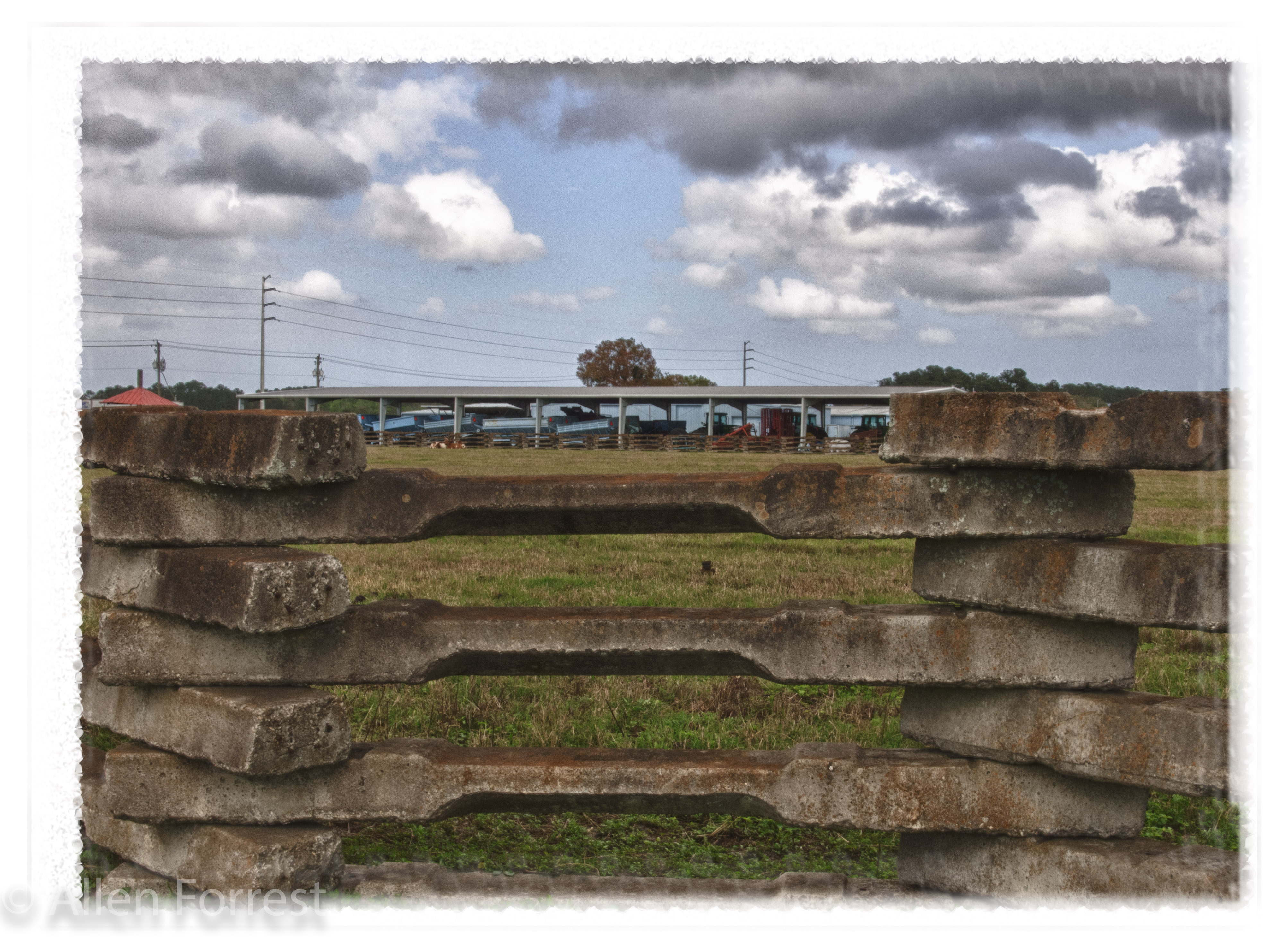
F3040150_HDR-348.jpg

Sunset, St. Johns River
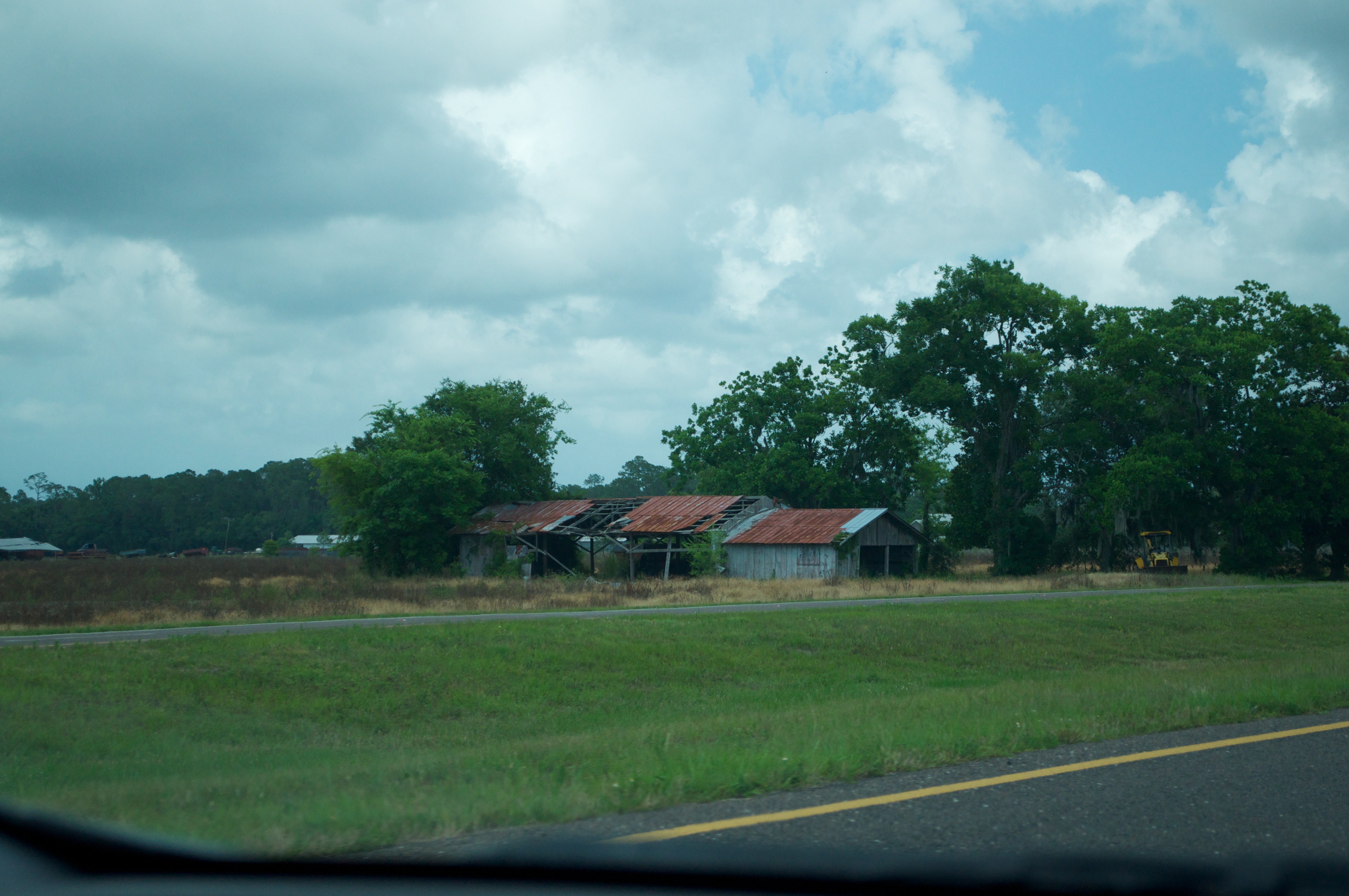
State Road 207 1
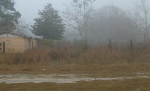
The Fog Comes In...
Topographic Map of CR 13 S, St Augustine, FL, USA
Find elevation by address:

Places near CR 13 S, St Augustine, FL, USA:
1660 Cr 13 S
7165 Woodward Rd
350 Cr 13 S
7849 Co Rd 214
110 Cr 13 S
100 Cr 13 S
Co Rd, St Augustine, FL, USA
318 Cedar Creek Rd
13850 County Rd 13 N
CR 13 S, St Augustine, FL, USA
208 Commercial Ave
196 Commercial Ave
Commercial Avenue
Brubaker Ln, East Palatka, FL, USA
5990 St Ambrose Church Rd
1054 Hastings Federal Point Rd
N Main St, Hastings, FL, USA
Hastings
Florida 207
615 E St Johns Ave
Recent Searches:
- Elevation of Corso Fratelli Cairoli, 35, Macerata MC, Italy
- Elevation of Tallevast Rd, Sarasota, FL, USA
- Elevation of 4th St E, Sonoma, CA, USA
- Elevation of Black Hollow Rd, Pennsdale, PA, USA
- Elevation of Oakland Ave, Williamsport, PA, USA
- Elevation of Pedrógão Grande, Portugal
- Elevation of Klee Dr, Martinsburg, WV, USA
- Elevation of Via Roma, Pieranica CR, Italy
- Elevation of Tavkvetili Mountain, Georgia
- Elevation of Hartfords Bluff Cir, Mt Pleasant, SC, USA