Elevation of Cowgirl Thang, S Rd, Talala, OK, USA
Location: United States > Oklahoma > Rogers County > Talala >
Longitude: -95.703758
Latitude: 36.5173327
Elevation: -10000m / -32808feet
Barometric Pressure: 295KPa
Elevation Map:
Satellite Map:
Related Photos:

Road Trip: Blue Creek, Lake Oologah

View from Kight Hill

Road Trip: Blue Creek, Lake Oologah

Road Trip: Blue Creek, Lake Oologah

Road Trip: Blue Creek, Lake Oologah

Road Trip: Blue Creek, Lake Oologah

Rope, Iron and Wood

Road Trip: Blue Creek, Lake Oologah

Road Trip: Blue Creek, Lake Oologah

Down to Basics

Will Rogers-3

Oklahoma-11

77 Counties - Nowata County

Shadows of the Past

Oklahoma-10

Hawthorn Bluff Campground

Skull Hollow at Lake Oologah
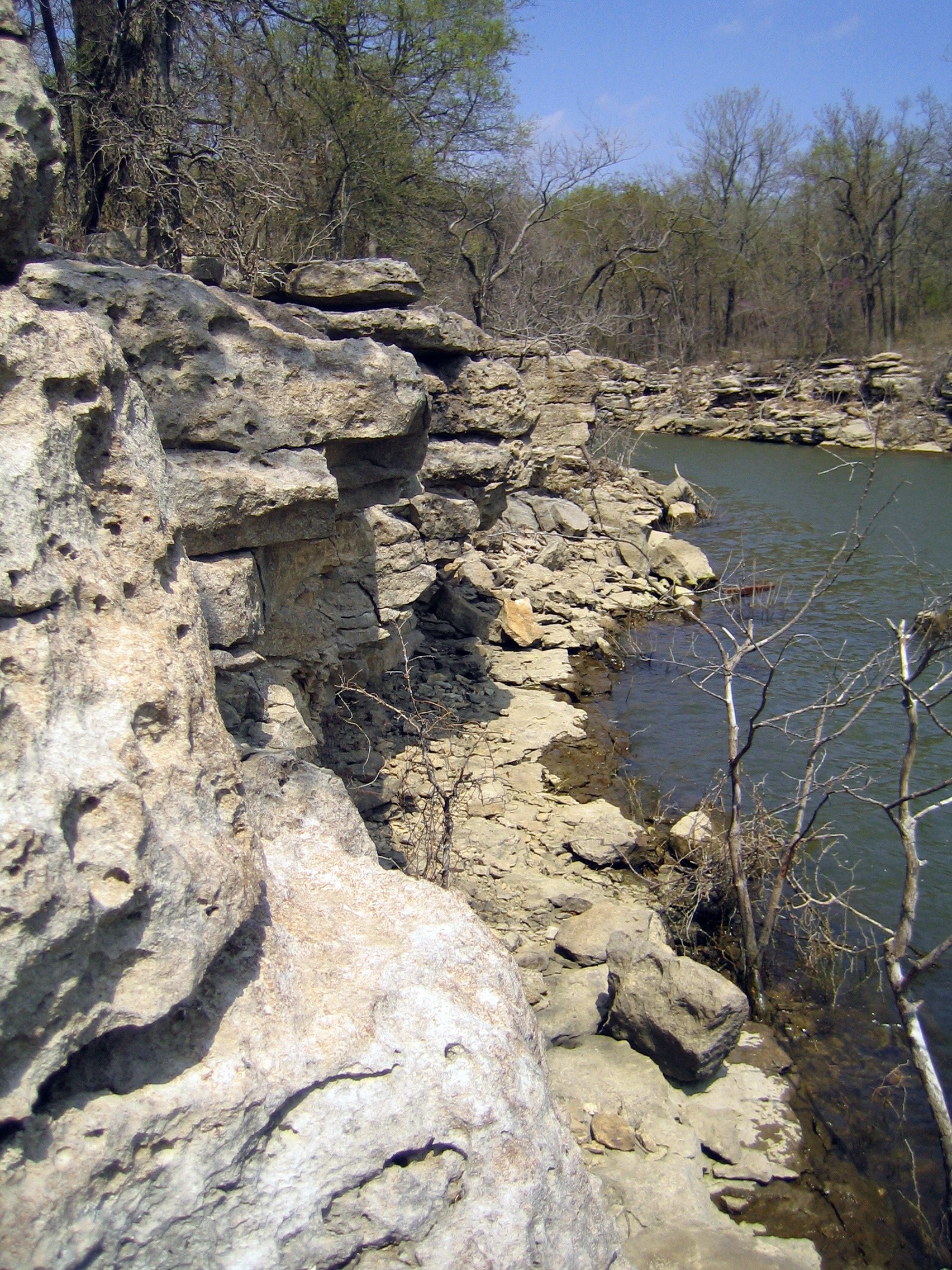
Skull Hollow Bluffs

Meador at Oologah Lake

Tree Pool

Lake Oolagah, OK
Topographic Map of Cowgirl Thang, S Rd, Talala, OK, USA
Find elevation by address:

Places near Cowgirl Thang, S Rd, Talala, OK, USA:
S Pine St, Oologah, OK, USA
Talala
Oologah
7801 S 4060 Rd
13300 S 4060 Rd
Rogers County
9281 E Clover Creek Dr
9582 S Stone Creek Dr
Collinsville Round Up Club Rodeo
9372 E Clover Creek Dr
9925 Shadow Lake Dr
9925 Shadow Lake Dr
10099 Ratliff Dr
9554 E Clover Creek Dr
10103 Ratliff Dr
9666 E Clover Creek Dr
9802 E Clover Creek Dr
Black Gold Spooling & Banding
9722 E Clover Creek Dr
9966 E Clover Creek Dr
Recent Searches:
- Elevation of W Granada St, Tampa, FL, USA
- Elevation of Pykes Down, Ivybridge PL21 0BY, UK
- Elevation of Jalan Senandin, Lutong, Miri, Sarawak, Malaysia
- Elevation of Bilohirs'k
- Elevation of 30 Oak Lawn Dr, Barkhamsted, CT, USA
- Elevation of Luther Road, Luther Rd, Auburn, CA, USA
- Elevation of Unnamed Road, Respublika Severnaya Osetiya — Alaniya, Russia
- Elevation of Verkhny Fiagdon, North Ossetia–Alania Republic, Russia
- Elevation of F. Viola Hiway, San Rafael, Bulacan, Philippines
- Elevation of Herbage Dr, Gulfport, MS, USA