Elevation of Cowan, MB R0L, Canada
Location: Canada > Manitoba > Division No. 20 > Mountain (south) >
Longitude: -100.64801
Latitude: 52.033829
Elevation: 367m / 1204feet
Barometric Pressure: 97KPa
Elevation Map:
Satellite Map:
Related Photos:
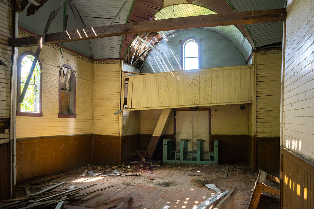
Holy Eucharist Ukrainian Catholic Church
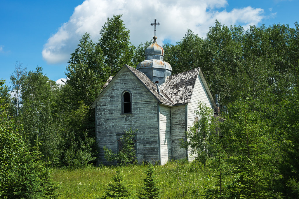
Holy Eucharist Ukrainian Catholic Church
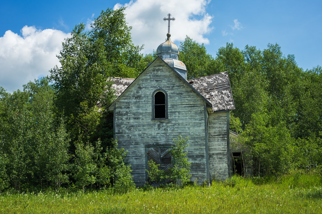
Holy Eucharist Ukrainian Catholic Church

Besökare Samtidigt
Topographic Map of Cowan, MB R0L, Canada
Find elevation by address:

Places near Cowan, MB R0L, Canada:
Recent Searches:
- Elevation of Bernina Dr, Lake Arrowhead, CA, USA
- Elevation of N 82nd Pl, Mesa, AZ, USA
- Elevation of Snake Hill Rd, North Scituate, RI, USA
- Elevation of Lake Shore Dr, Warwick, RI, USA
- Elevation of E Brightview Ave, Pittsburgh, PA, USA
- Elevation of Cavendish Rd, Harringay Ladder, London N4 1RR, UK
- Elevation of 1 Zion Park Blvd, Springdale, UT, USA
- Elevation of Ganderbal
- Elevation map of Konkan Division, Maharashtra, India
- Elevation of Netaji Nagar, Hallow Pul, Kurla, Mumbai, Maharashtra, India