Elevation of Cow Head, NL, Canada
Location: Canada > Newfoundland And Labrador > Division No. 9 >
Longitude: -57.792578
Latitude: 49.9136423
Elevation: 2m / 7feet
Barometric Pressure: 101KPa
Elevation Map:
Satellite Map:
Related Photos:
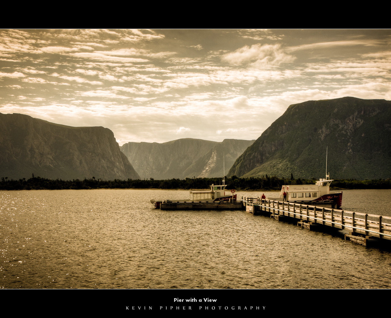
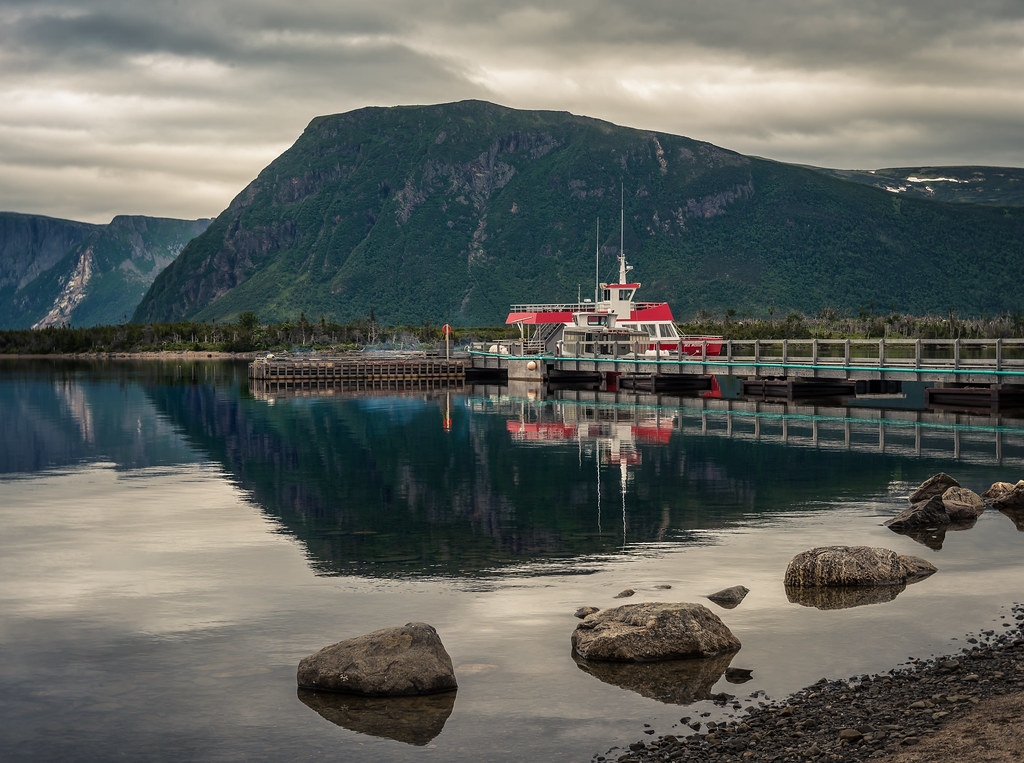
Pier with a View
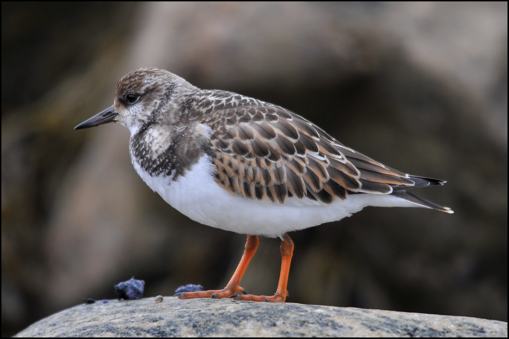
Ruddy Turnstone ... Arenaria interpres
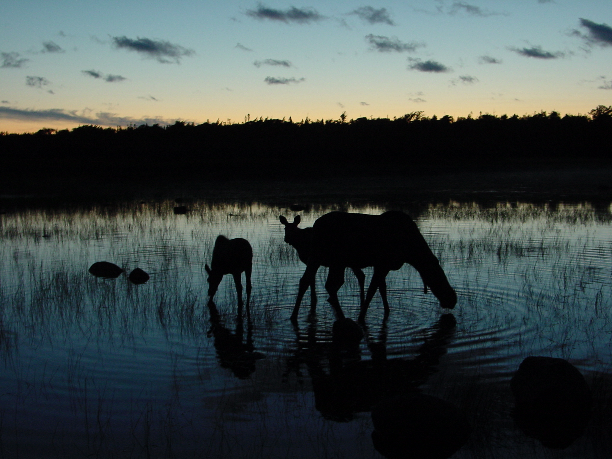
Moose near Western Brook Pond

Adventure Awaits
Jack's Pond
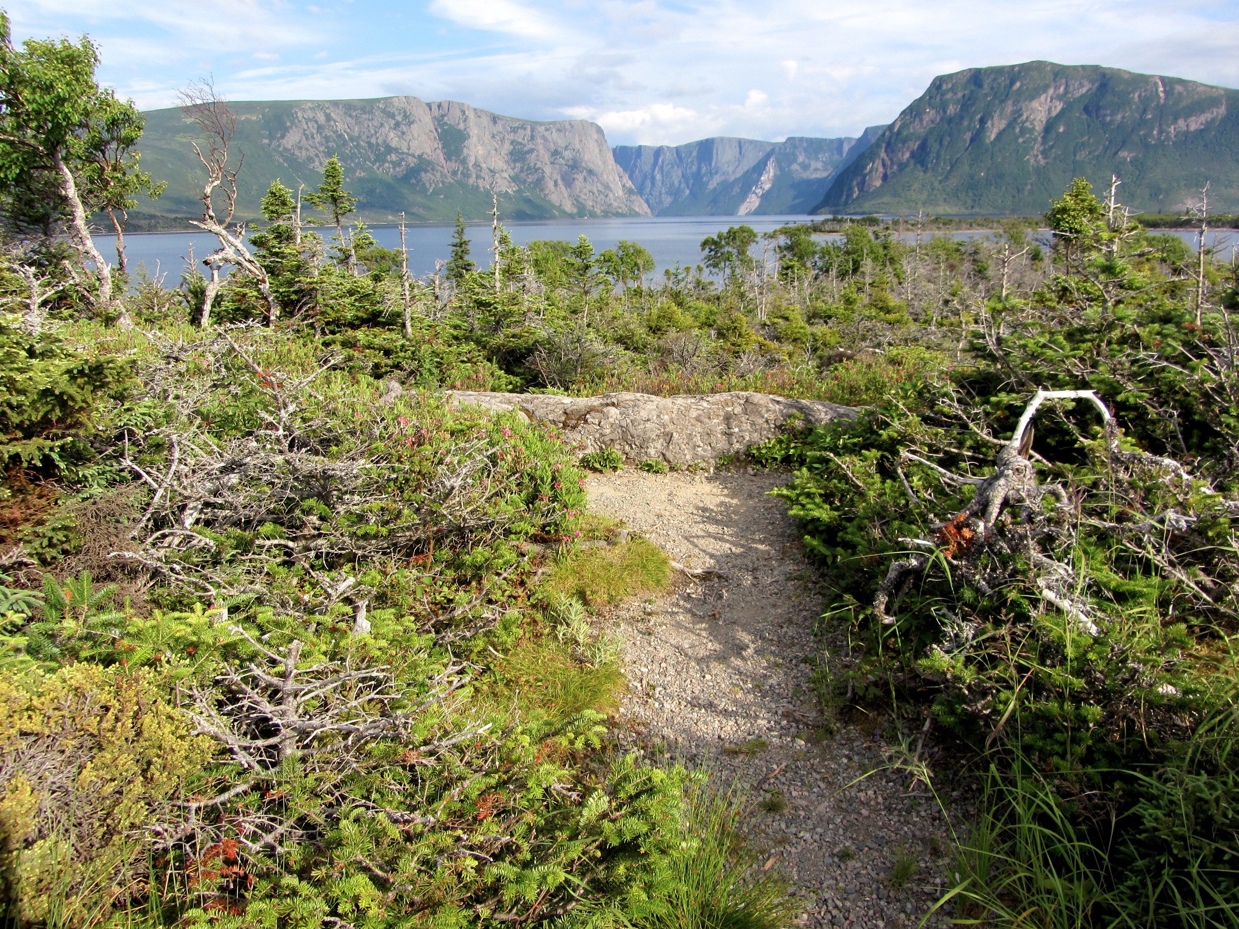
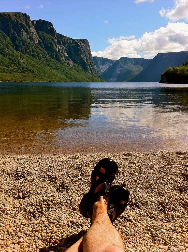
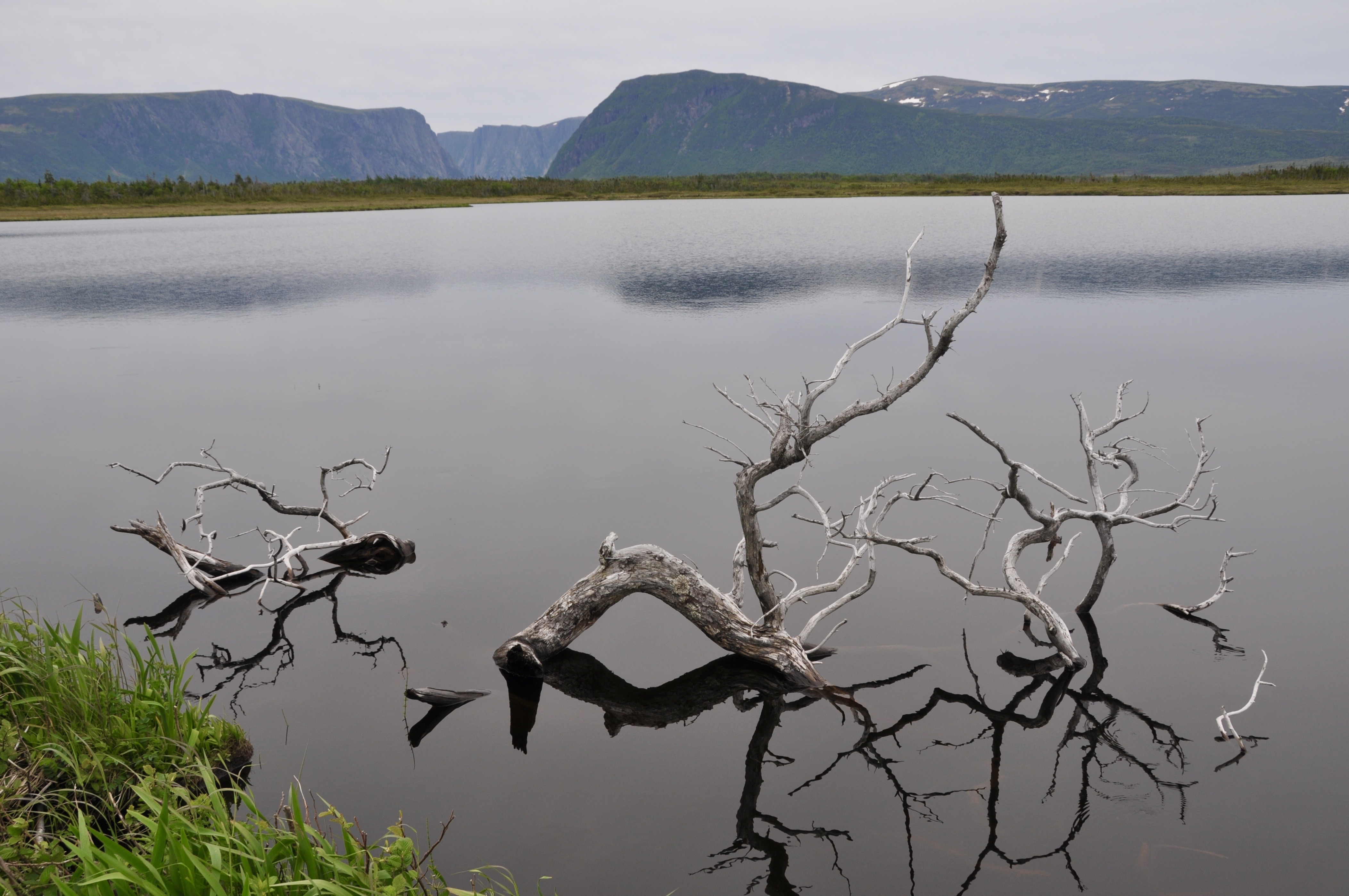
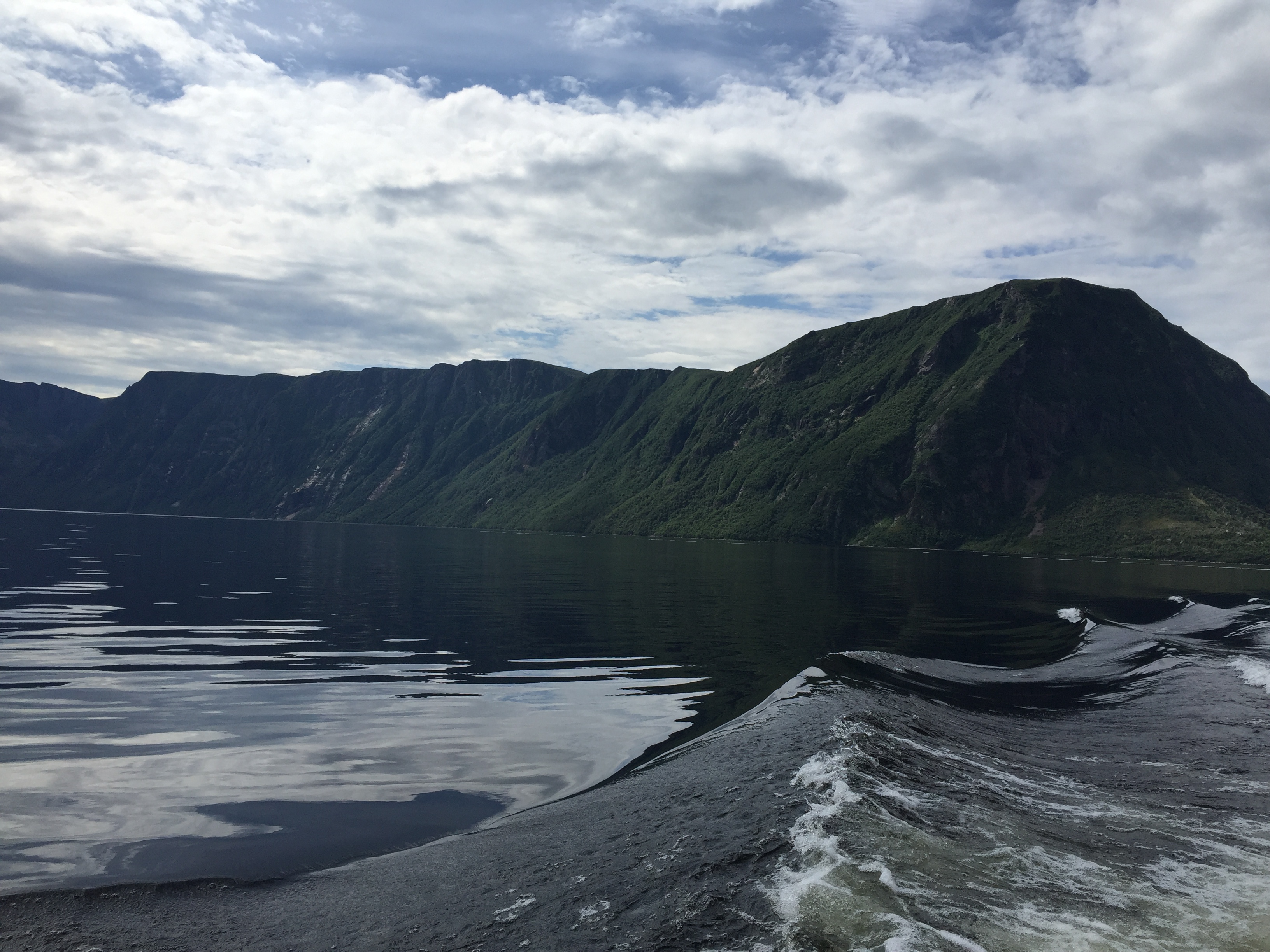
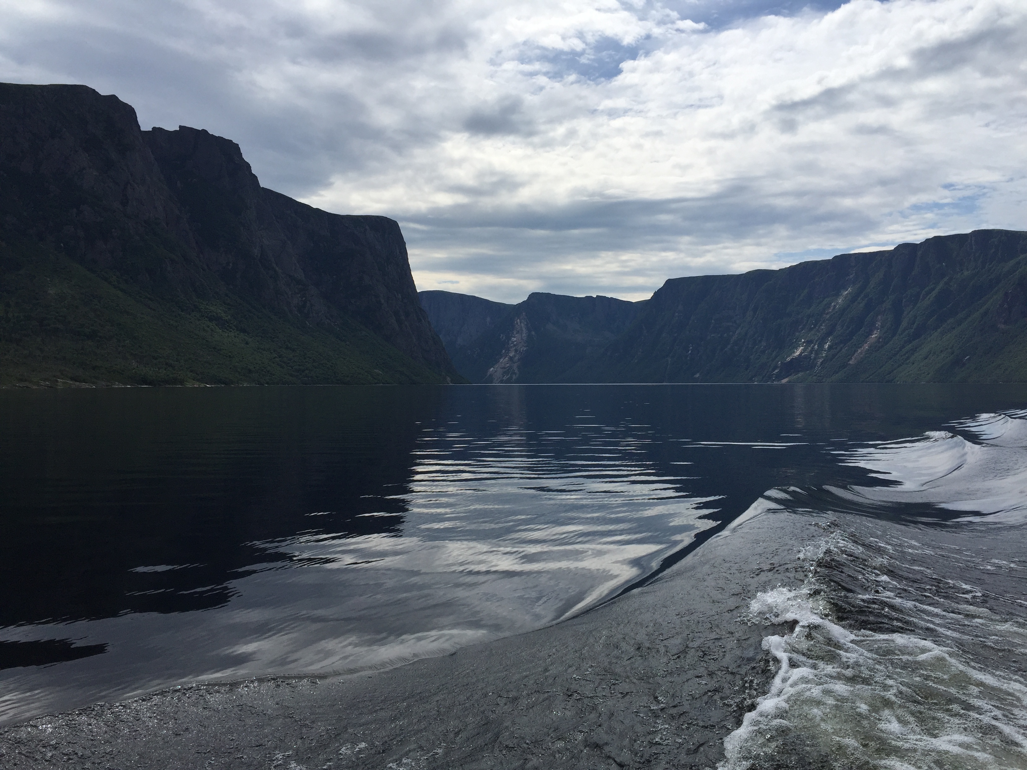
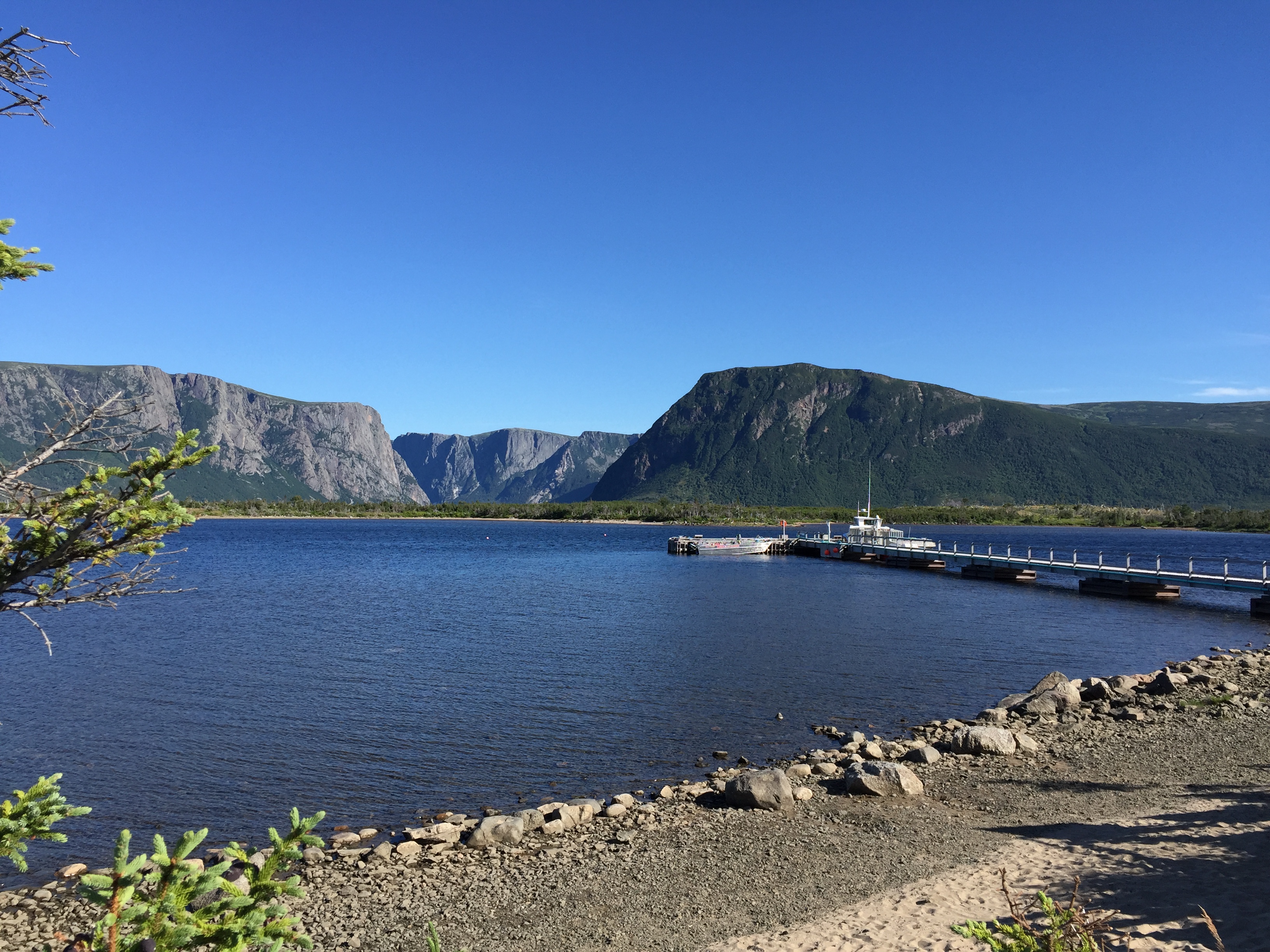
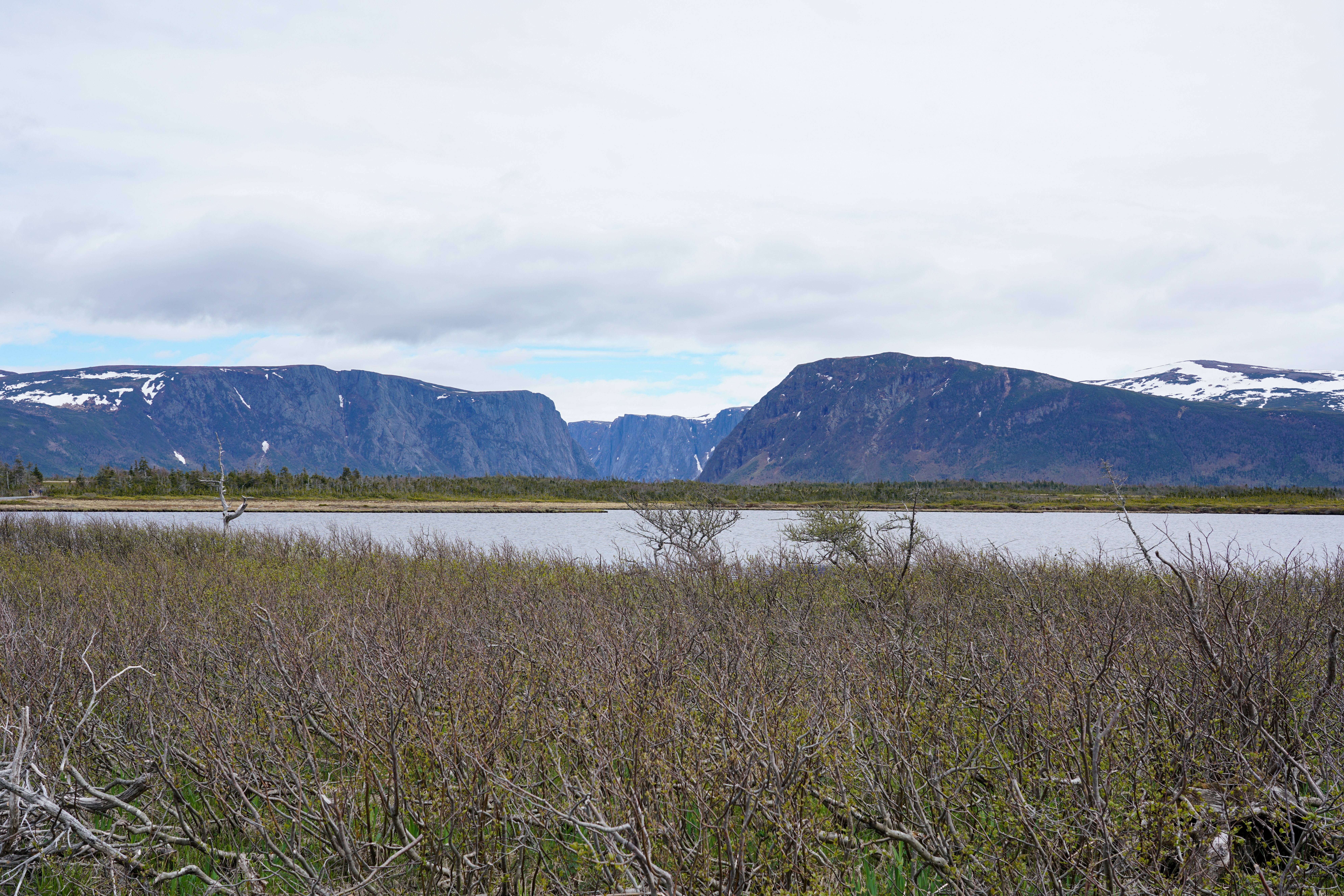
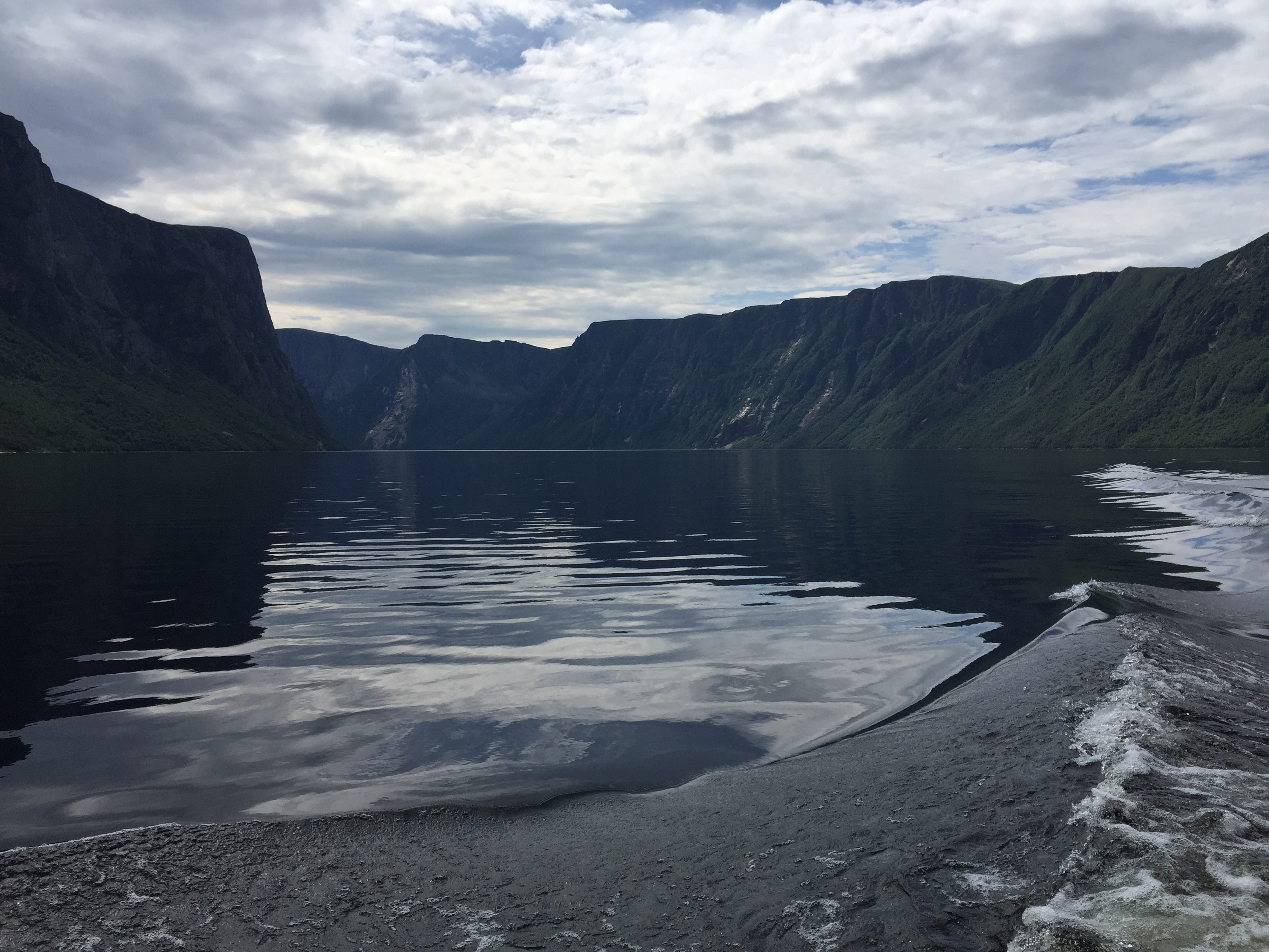
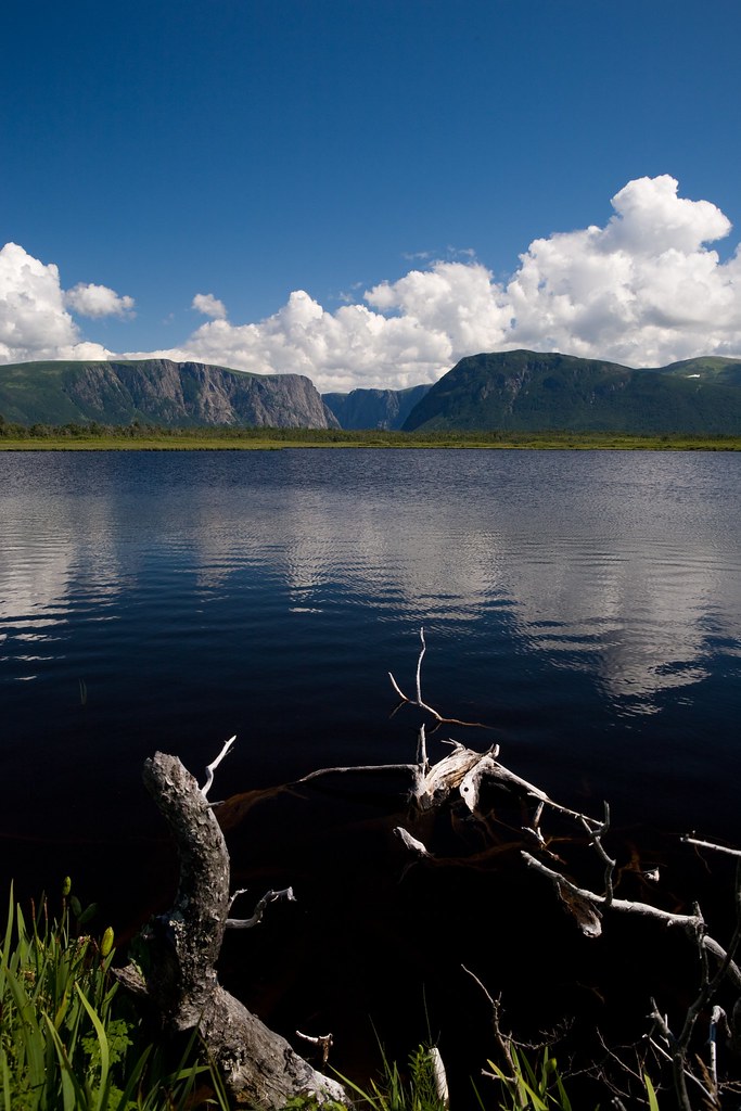
Western Brook Pond
Western Brook Pond
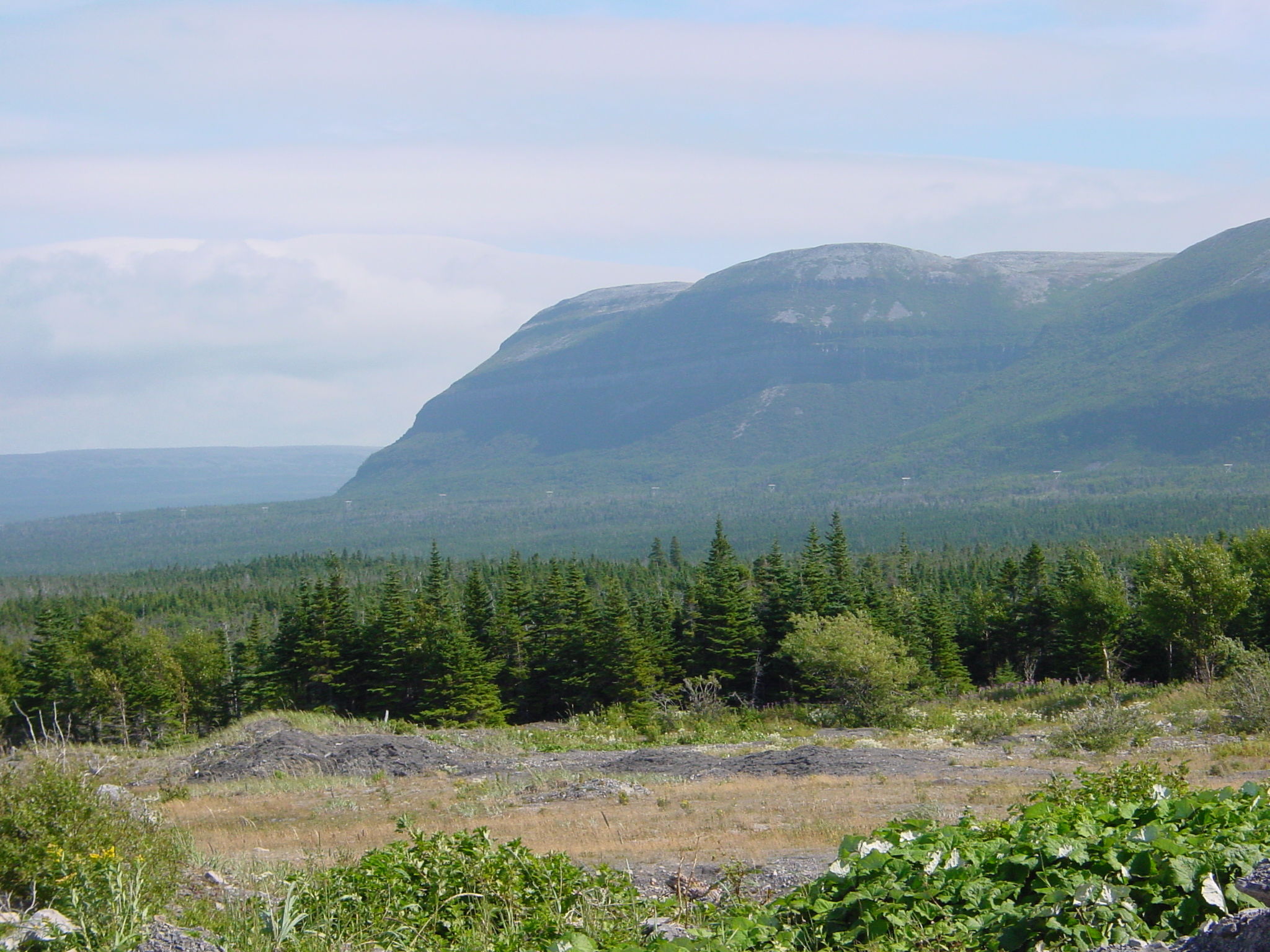
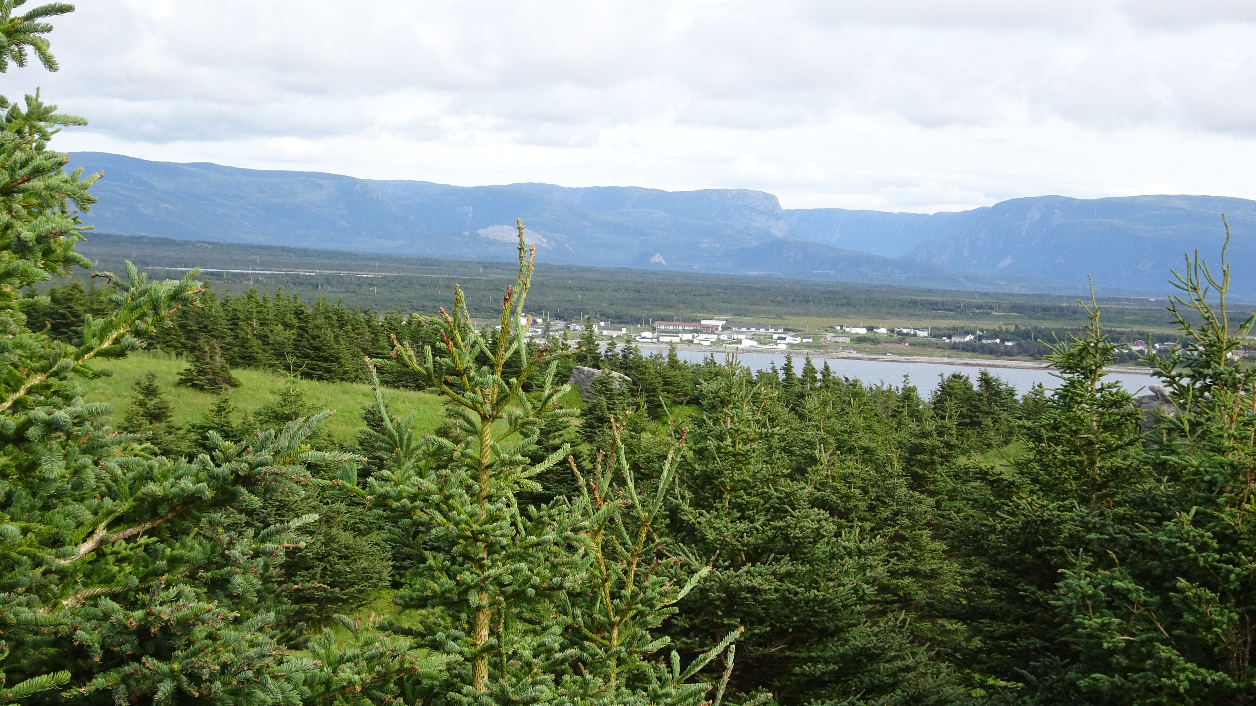
Long Range Mountains Without Clouds
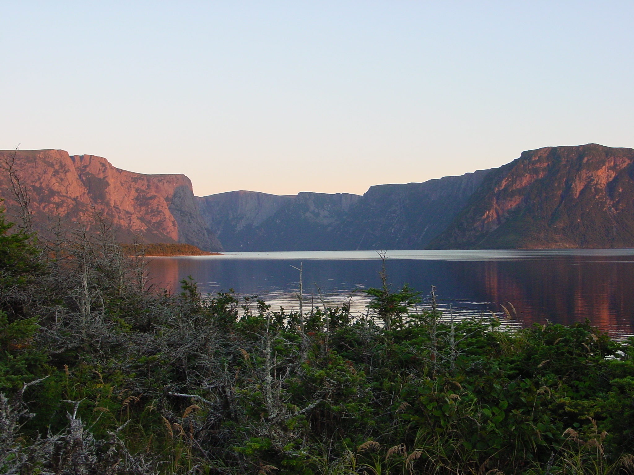
Evening at Western Brook Pond
Long Range Mountains With Clouds
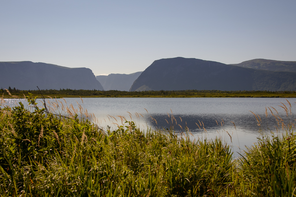
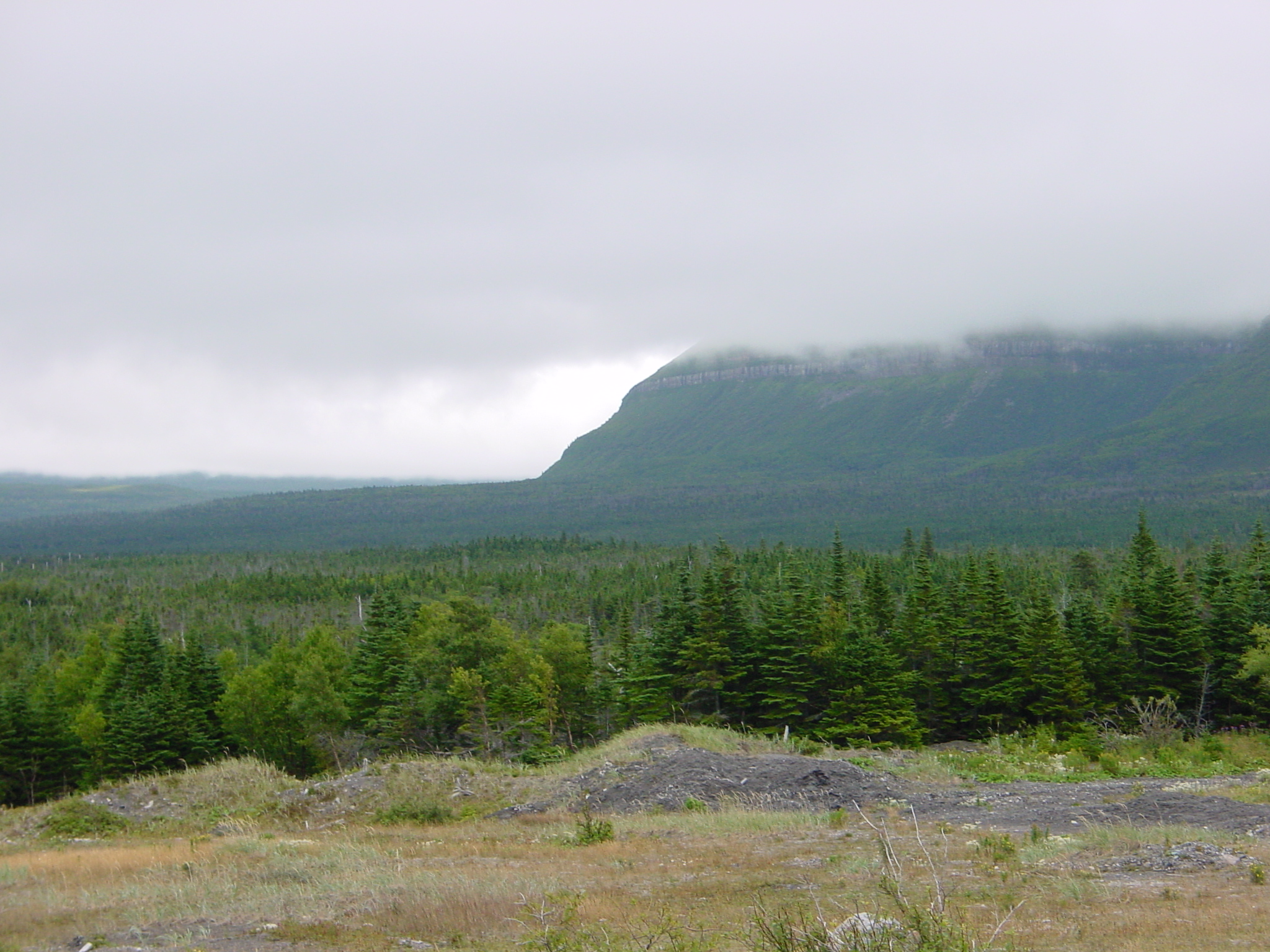
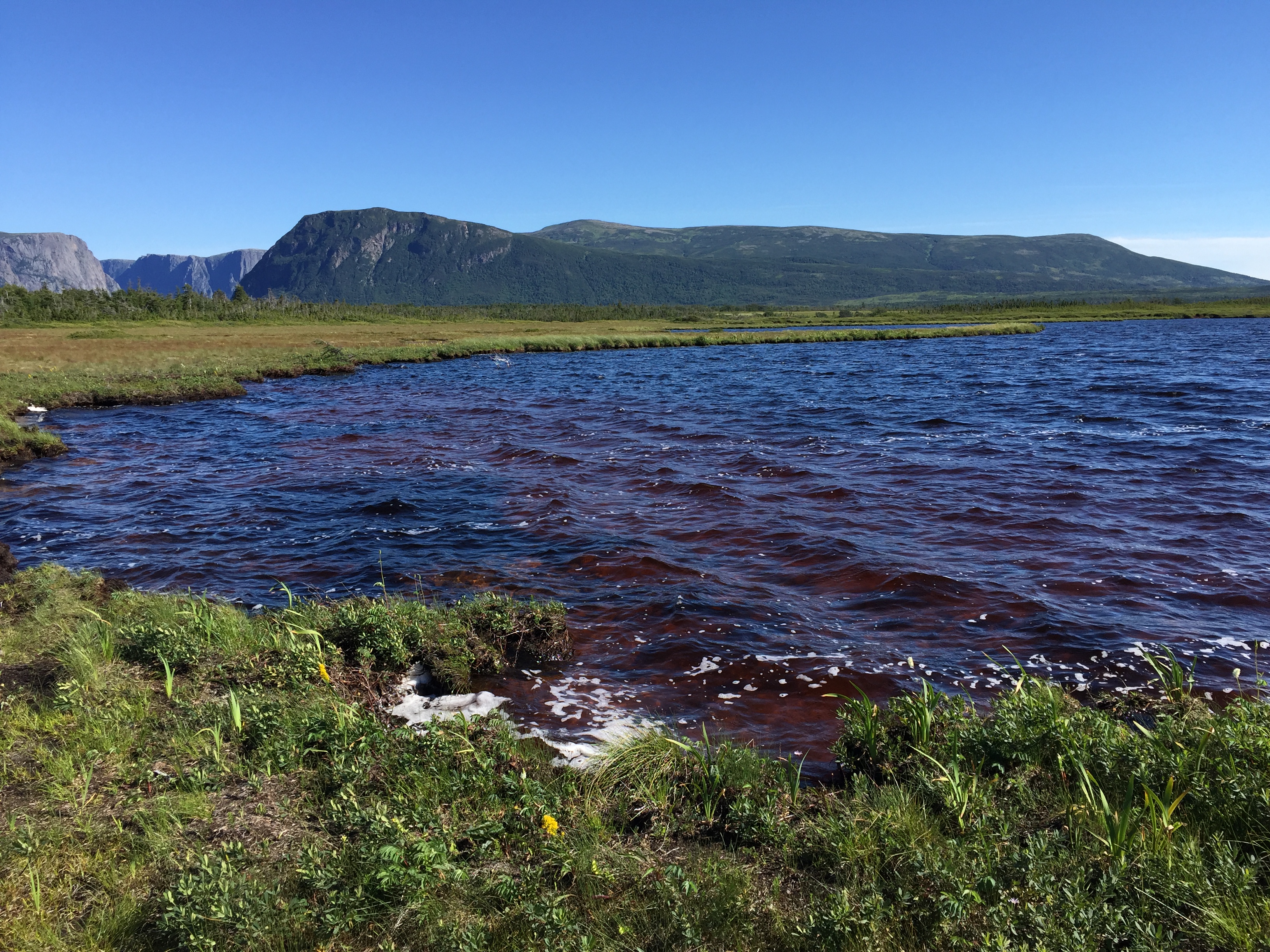
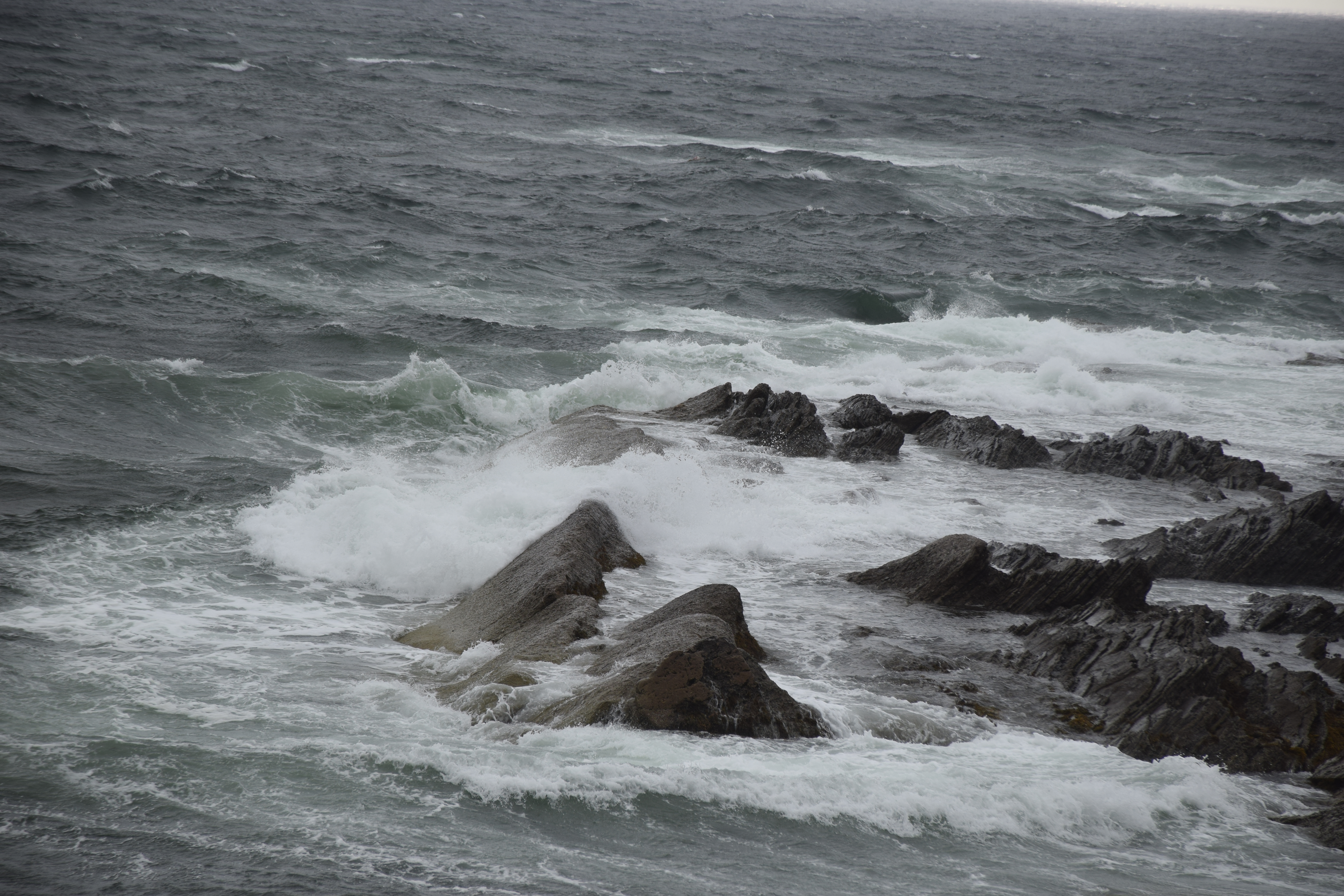
View Towards Cow Head and the Long Range
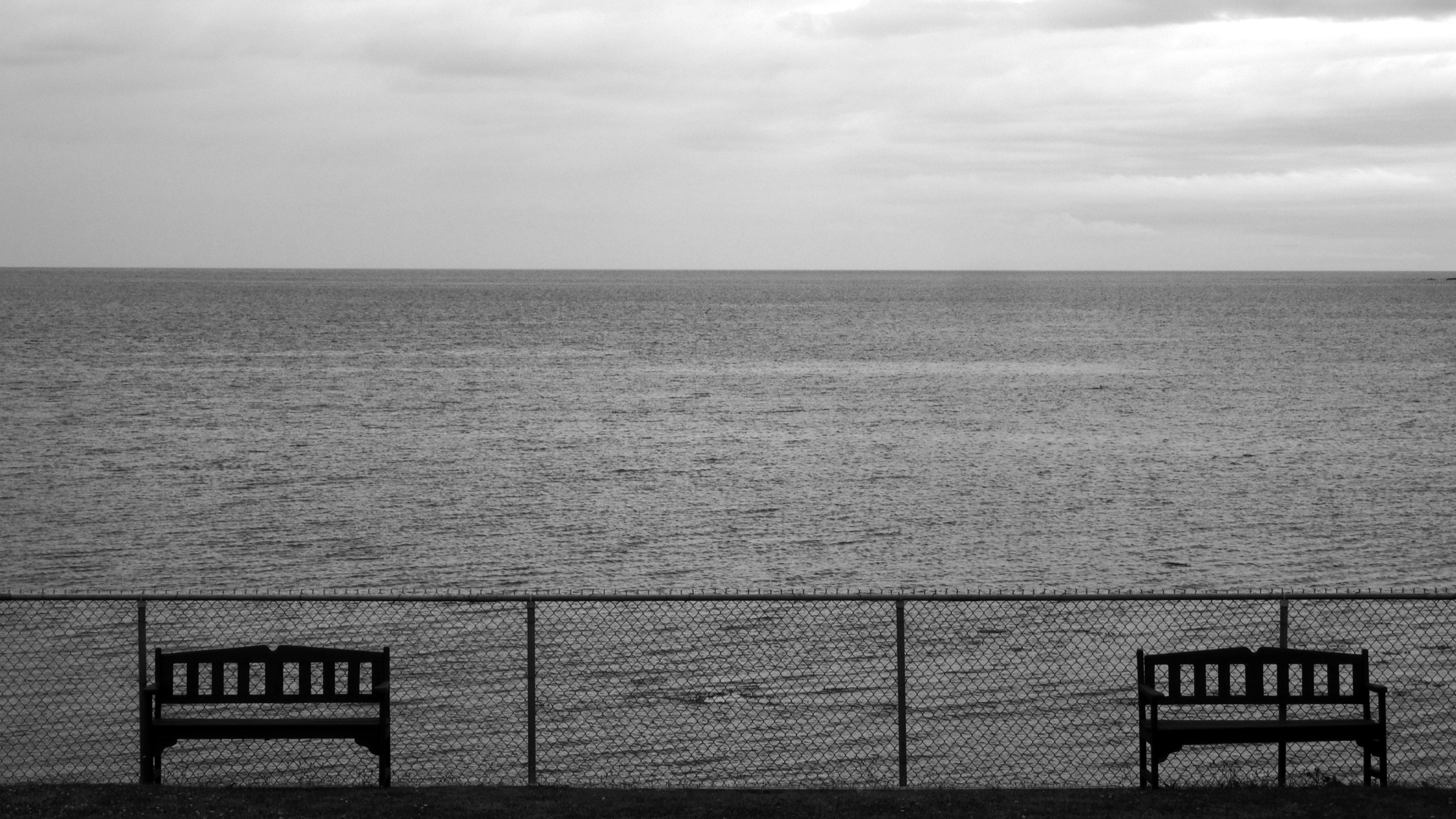
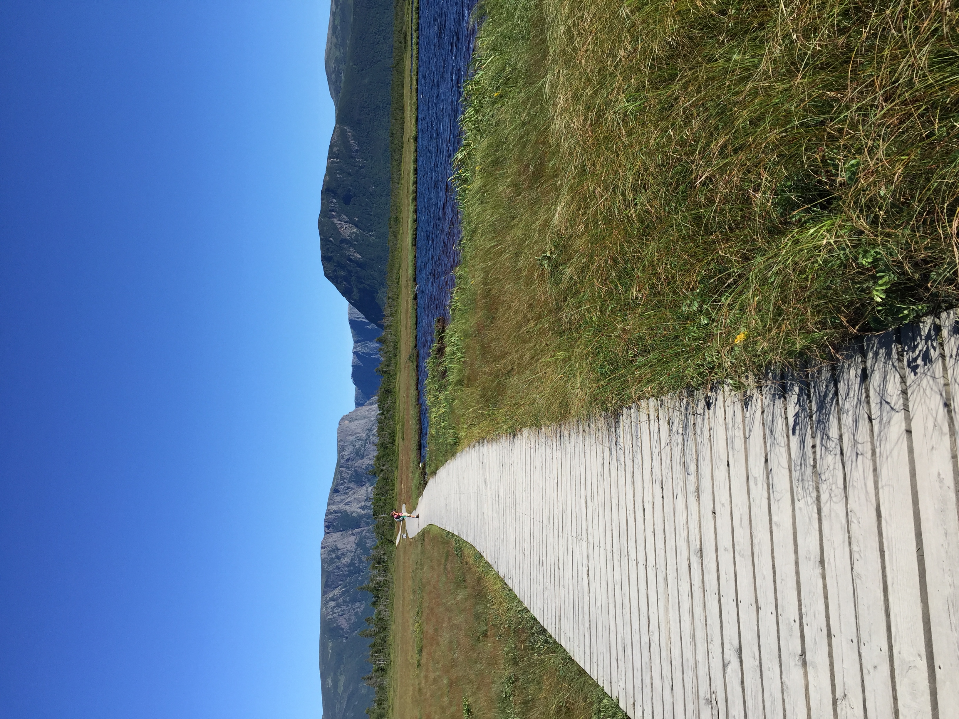
17Aug/14 benches on the water

Western Brook Pond #grosmorne #nofilter
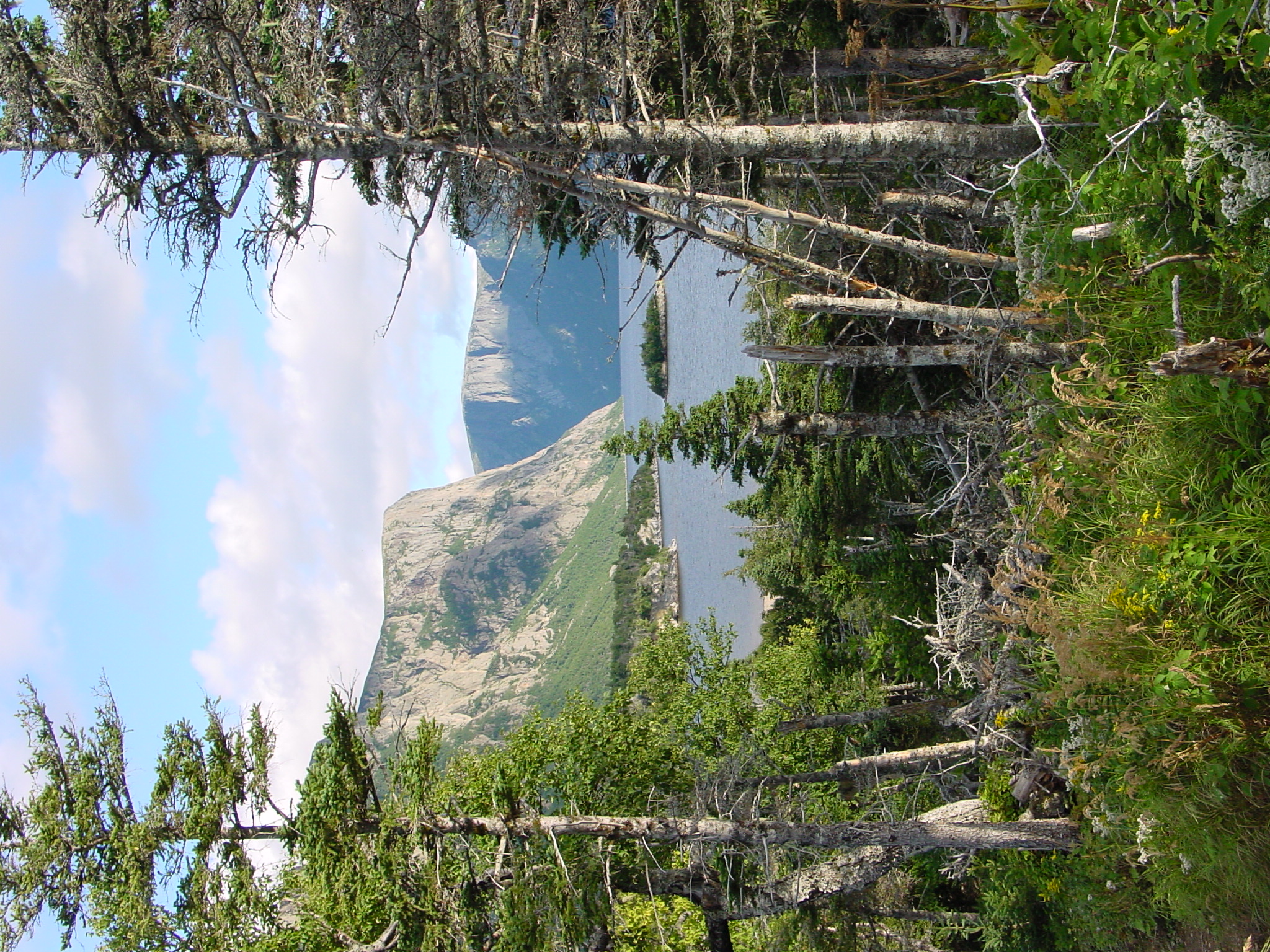
Snug Harbour, Western Brook Pond
Jerrys Pond
Gros Morne National Park
Terra Nova to Gros Morne National Park
Gros Morne National Park
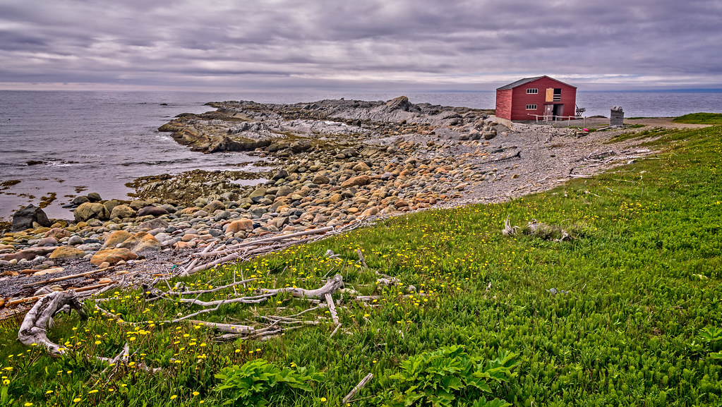
Fisherman's store - where the family would processes fish and store their gear
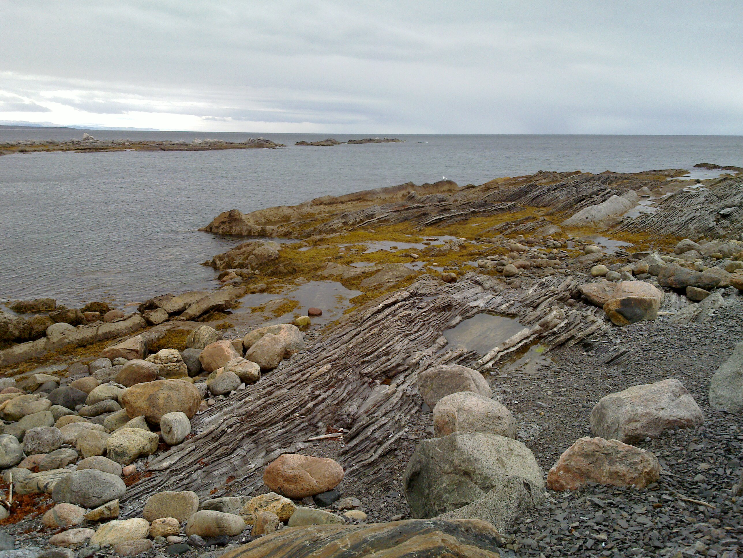
Former Fjord
Terra Nova to Gros Morne National Park
Western Brook Pond
Gros Morne National Park
Terra Nova to Gros Morne National Park

20120723 153554 HDR_FN
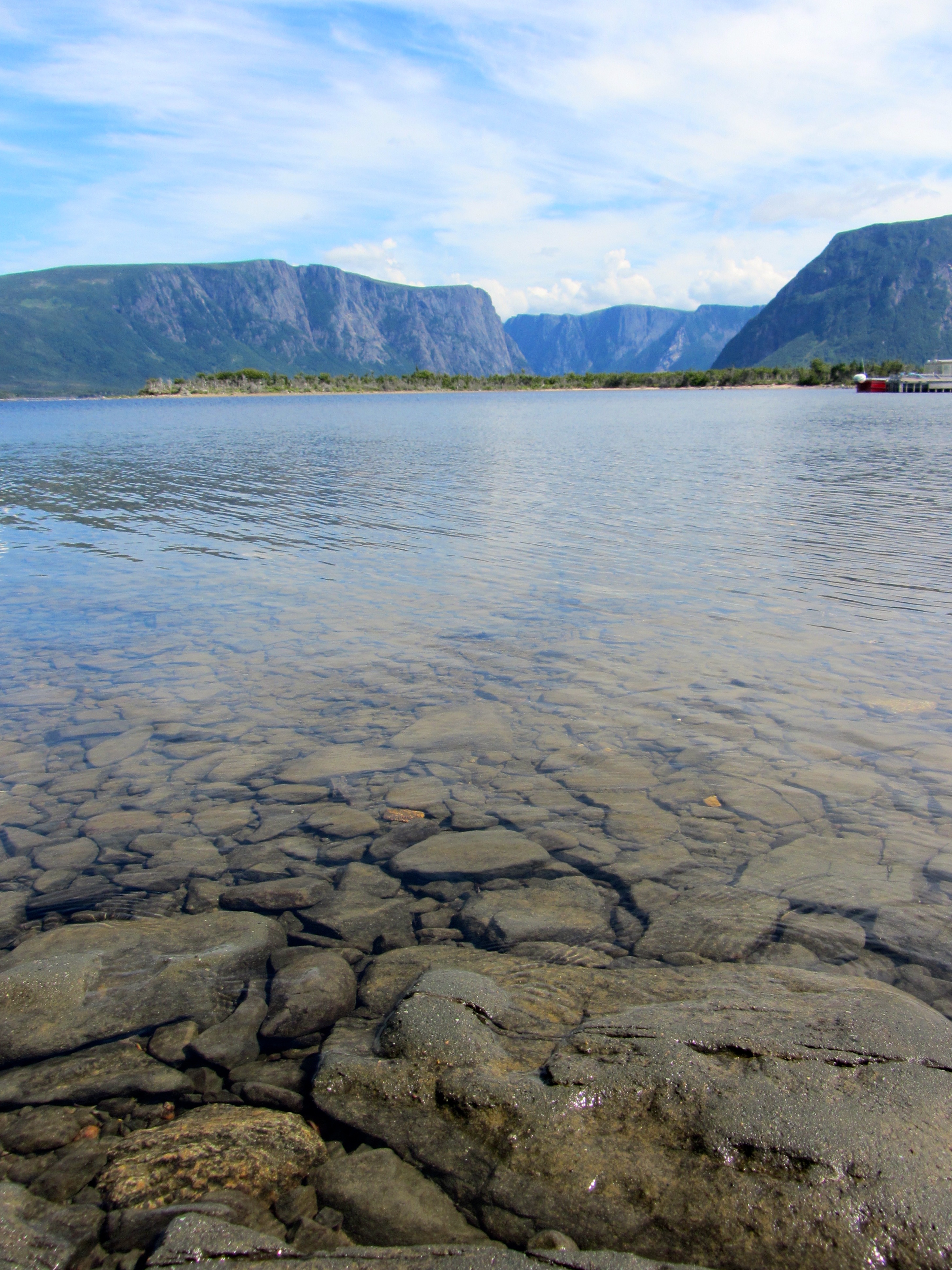
Crystal-Clear Water in Western Brook Pond
20070802-IMG_1005
Gros Morne Highway 430
20100607_005.jpg
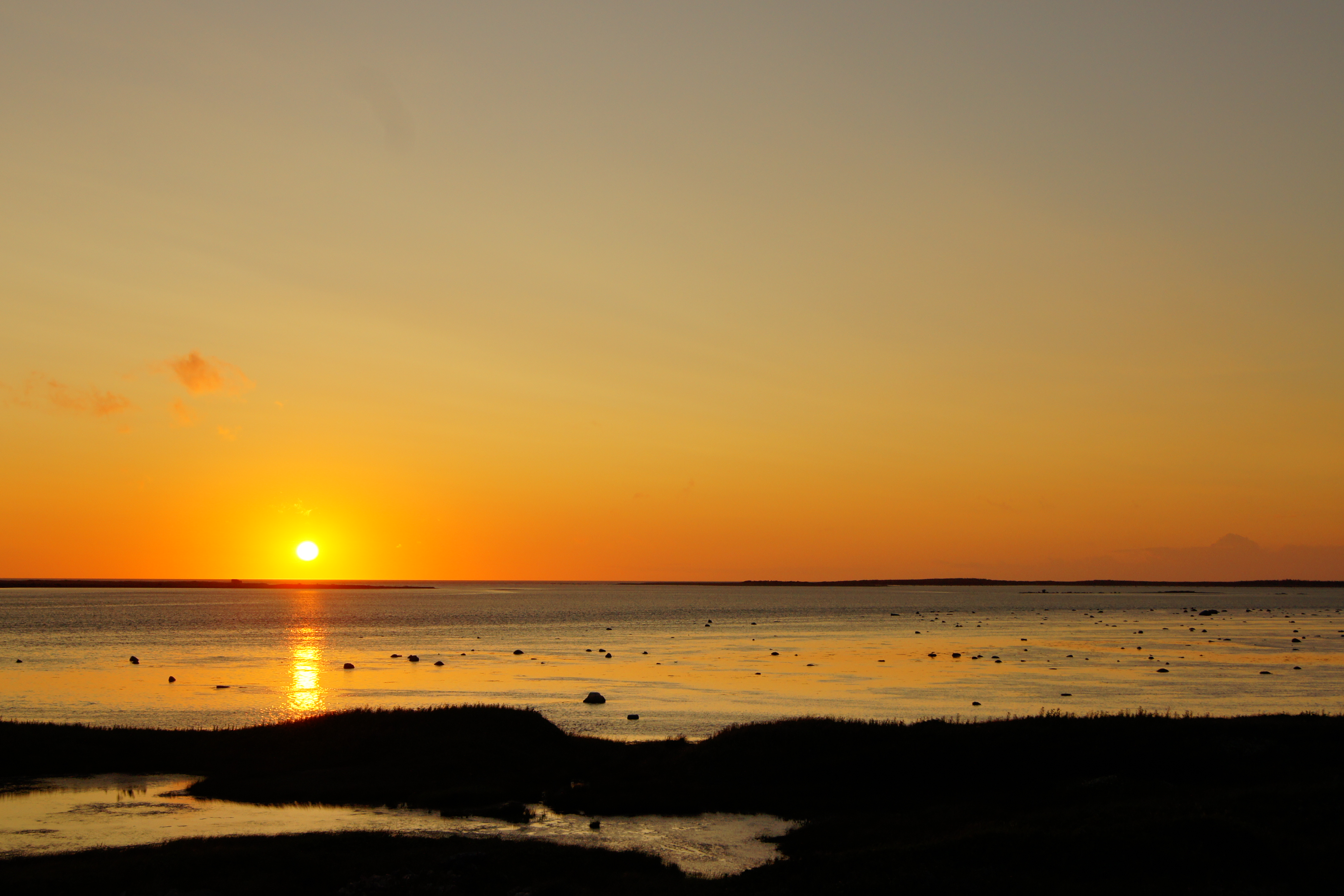
West Coast Sunset

Western Brook Pond

Western Brook Pond
Topographic Map of Cow Head, NL, Canada
Find elevation by address:

Places near Cow Head, NL, Canada:
24 NL-, Saint Pauls, NL A0K 4Y0, Canada
Saint Pauls
Gros Morne National Park
Gros Morne
Rocky Harbour
Recent Searches:
- Elevation of 3 Nestling Wood Dr, Long Valley, NJ, USA
- Elevation of Ilungu, Tanzania
- Elevation of Yellow Springs Road, Yellow Springs Rd, Chester Springs, PA, USA
- Elevation of Rēzekne Municipality, Latvia
- Elevation of Plikpūrmaļi, Vērēmi Parish, Rēzekne Municipality, LV-, Latvia
- Elevation of 2 Henschke Ct, Caboolture QLD, Australia
- Elevation of Redondo Ave, Long Beach, CA, USA
- Elevation of Sadovaya Ulitsa, 20, Rezh, Sverdlovskaya oblast', Russia
- Elevation of Ulitsa Kalinina, 79, Rezh, Sverdlovskaya oblast', Russia
- Elevation of 72-31 Metropolitan Ave, Middle Village, NY, USA