Elevation of Covered Bridge Rd, Artemas, PA, USA

Location: United States > Pennsylvania > Bedford County > Southampton Township >

Longitude: -78.492221

Latitude: 39.7455706

Elevation: 435m / 1427feet

Barometric Pressure: 96KPa

Elevation Map:

elevation map of Covered Bridge Rd, Artemas, PA, USA

Satellite Map:

Satellite map of Covered Bridge Rd, Artemas, PA, USA

Related Photos:

animal animals bug md arachnid flash maryland bugs prey arachnids arthropods animalia arthropoda crabspider arachnida arthropod araneae twofer dcr250 raynox chelicerata araneomorphae thomisidae misumenoides img6356 chelicerate misumenoidesformosipes img6355 crabspiders whitebandedcrabspider entelegynes chelicerates sx30 tarsalclaws taxonomy:binomial=misumenoidesformosipes rgspbioblitz arachtober2015
Falling Like...
rockygapsp flinstone maryland alleganyco resorts lakehabeeb windows viewbeyond allegany co mdstateparks roomwithaveiw trees scenic mountains smileonsaturday roomwithaview hsos iphone topf25
Rocky Gap Casino/Resort
animal animals bug insect md flash maryland insects bugs nymph arthropods animalia arthropoda spittlebug nymphs arthropod hexapod hemipteran insecta spittlebugs dcr250 raynox hemiptera hexapods hexapoda auchenorrhyncha hemipterans img5948 cercopidae cicadoidea img5947 sx30 rgspbioblitz
Spittlebug Nymphs
red animal animals sex bug insect md flash beetle maryland insects bugs longhorns mating longhorn beetles arthropods animalia arthropoda antennae arthropod coleoptera hexapod longhornbeetle redbeetle cerambycidae insecta dcr250 raynox redmilkweedbeetle hexapods hexapoda tetraopes longhornedbeetles longhornedbeetle tetraopestetrophthalmus img6569 polyphaga longhornbeetles flatfacedlonghorn lamiinae milkweedlonghorn img6570 chrysomeloidea sx30 tetraopini taxonomy:binomial=tetraopestetrophthalmus flatfacedlonghorns milkweedlonghorns rgspbioblitz
Red Milkweed Beetles
camping forest moss woods maryland rockygap
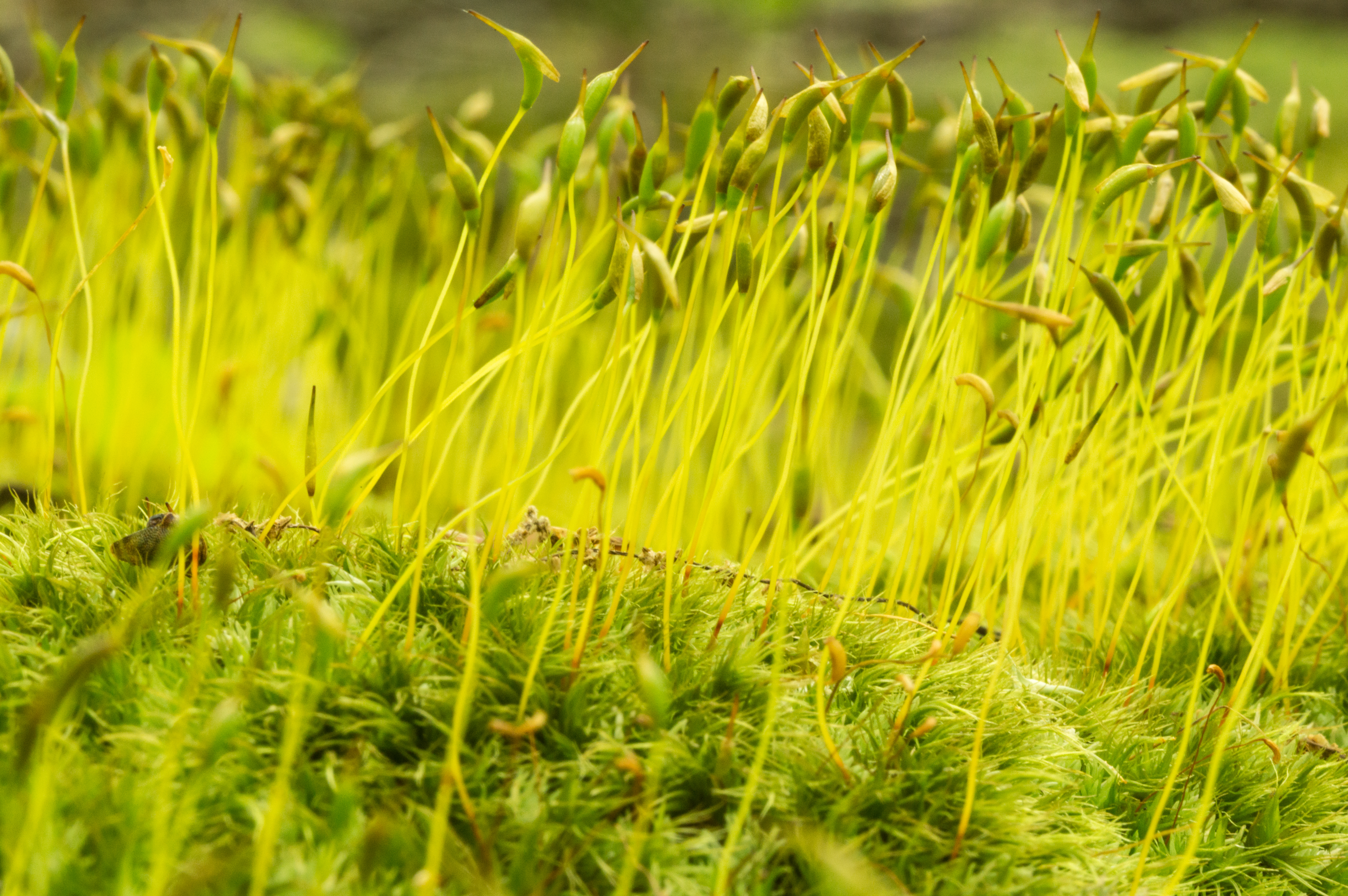
Mingling at the moss sprout bar
sky mountain green grass clouds town md maryland smalltown flintstone alleganycounty montainview flintstonemd east144
Flintstone, MD
landscape countryside summer ruralarea road town meryland cuntry alleganycounty fall flintstone farm panorama cumberland fallscenic towncreek maryland unitedstates us
_VAR0790.jpg
camping mushroom forest moss woods hill maryland rockygap
Kings of the hill
camping forest moss woods maryland rockygap
Moss wave
camping blackandwhite monochrome grass forest woods sticker seed maryland sharp burr rockygap
Handle with care
western maryland green ridge state forest mountain panorama scenic view vista snow winter
Green Ridge State Forest Panorama
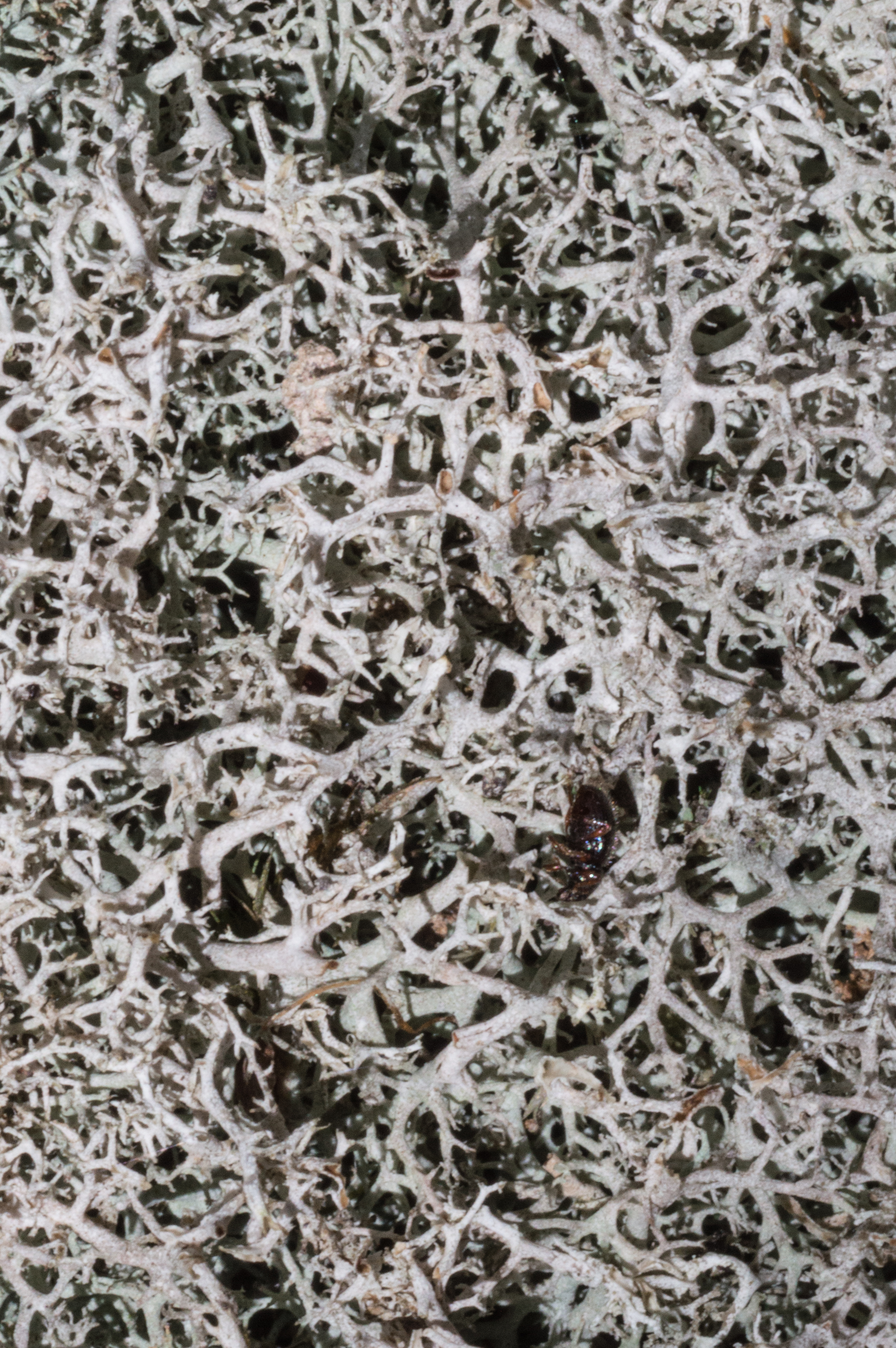
camping texture forest moss woods beetle maryland rockygap
Beetle carpet
mountains view maryland
Town Hill View
westernmarylandaug12canonsx130chdk1640f56iso8055mmeffdcrawgimp
Western Maryland, Aug. '12
western maryland green ridge state forest mountain overlook scenic view vista snow winter
Green Ridge State Forest Overlook
cocanal lock57 stone lockhouse indigoneck
Foundation remains of Lockhouse at Lock 57
western maryland green ridge state forest mountain scenic view vista snow winter
Town Hill
2018 pennsylvania bedfordcounty pa326 coveredbridges favorites
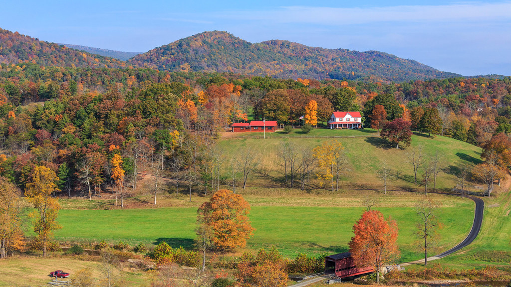
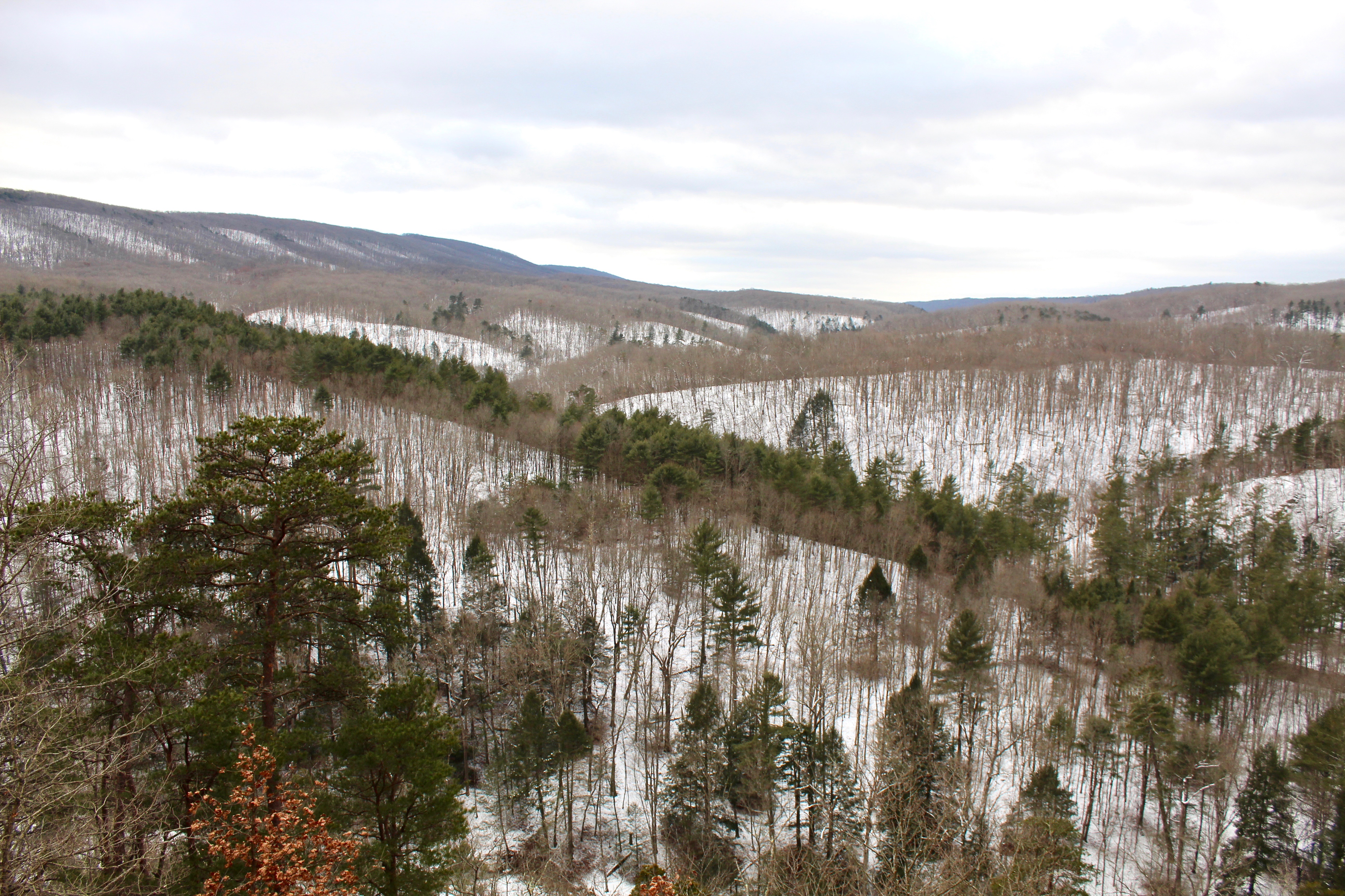
Southern Bedford County View
landscape md scenic maryland westernmaryland alleganycounty cumberlandmaryland lakehabeeb rockygapstatepark
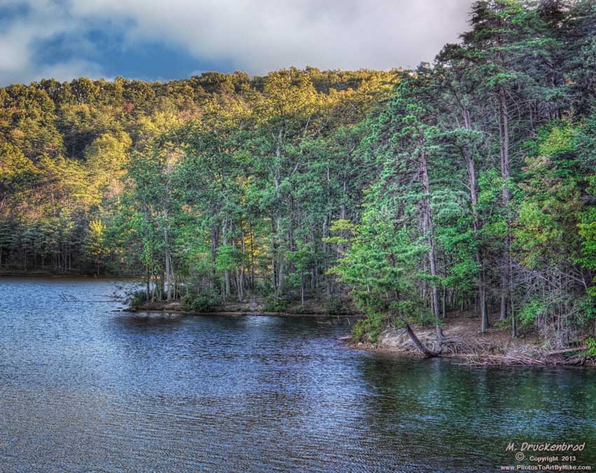
A view of Lake Habeeb from the Lakeside Loop Trail, Rocky Gap State Park
western maryland green ridge state forest mountain scenic view vista snow winter
Green Ridge State Forest
westernmaryland oct17 greenridgestateforest flintstone maryland
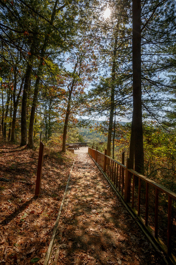
A View of the Overlook
interstate68 maryland westernmaryland interstate highway highwayscape mountain rural
Interstate 68, Western Maryland
rockygapsp flinstone maryland alleganyco mdstateparks lakes lakehabeeb frozen ice trees iphone topf25 cmwd
Rocky Gap SP ~ Lake Habeeb
rockygapsp flinstone maryland mdstateparks mountains trees pines landscape iphone hss
Rocky Gap SP
townhilloverlook landscape mountain maryland westernmaryland overlook townhill route40 scenic ushighway
Town Hill Overlook
Town Hill Overlook
landscape md scenic maryland westernmaryland alleganycounty cumberlandmaryland lakehabeeb rockygapstatepark
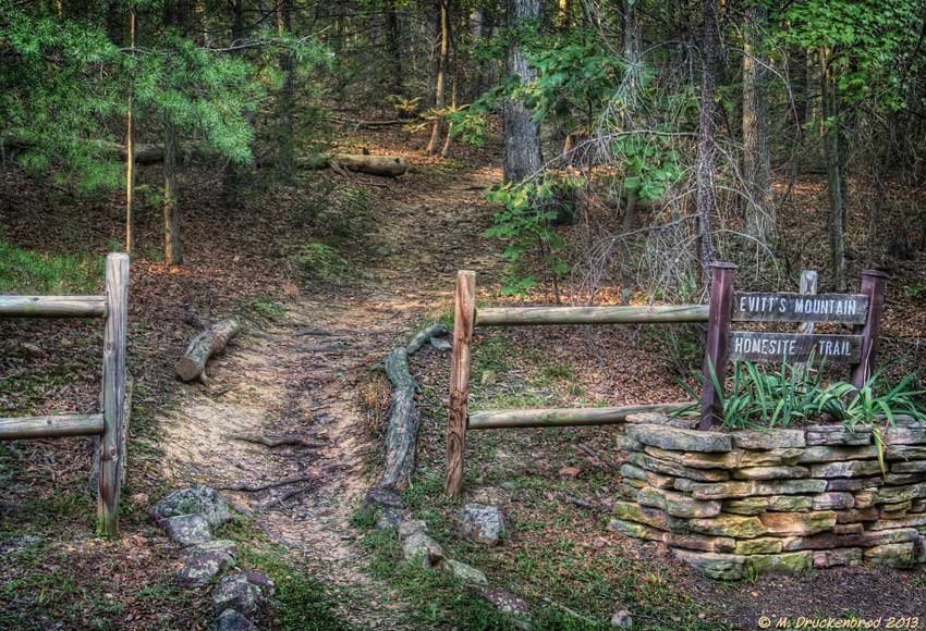
Evitt's Mountain Trail at Rocky Gap State Park
sunset chesapeakebay waterbodies geocity geostate weather unitedstates conservation science environment restoration partnership geo:country=unitedstates chesapeakebayprogram
Rocky Gap State Park in Allegany County, Md.
rockygapsp flinstone maryland alleganyco mdstateparks lakes lakehabeeb frozen ice mountains fences hff
Rocky Gap SP ~ Lake Habeeb
rockygapstatepark flinstone maryland alleganyco resorts habeeblake lakes frozen mountains clouds mdstateparks iphone
Rocky Gap State Park
Around The Bend
trees red sky orange mountain lake fall nature beautiful yellow clouds canon landscape october rocks skies fallcolor fallcolors gray maryland westernmaryland lakehabeeb canon70d october2014
a closeup of the colors at Rocky Gap State Park
blue trees red sky orange mountain lake fall nature beautiful yellow clouds canon landscape rainbow october rocks skies fallcolor fallcolors gray maryland westernmaryland lakehabeeb canon70d october2014
the storm, the colors, the rainbow
schuminweb ben schumin web september 2016 maryland md allegany county rocky gap state park rockygap rockygapstatepark lake habeeb lakehabeeb reservoir lakes manmade man made mountain mountains recreation
Lake Habeeb [03]
blue trees red sky orange mountain lake fall nature beautiful yellow clouds canon landscape october rocks skies fallcolor fallcolors maryland westernmaryland lakehabeeb canon70d october2014
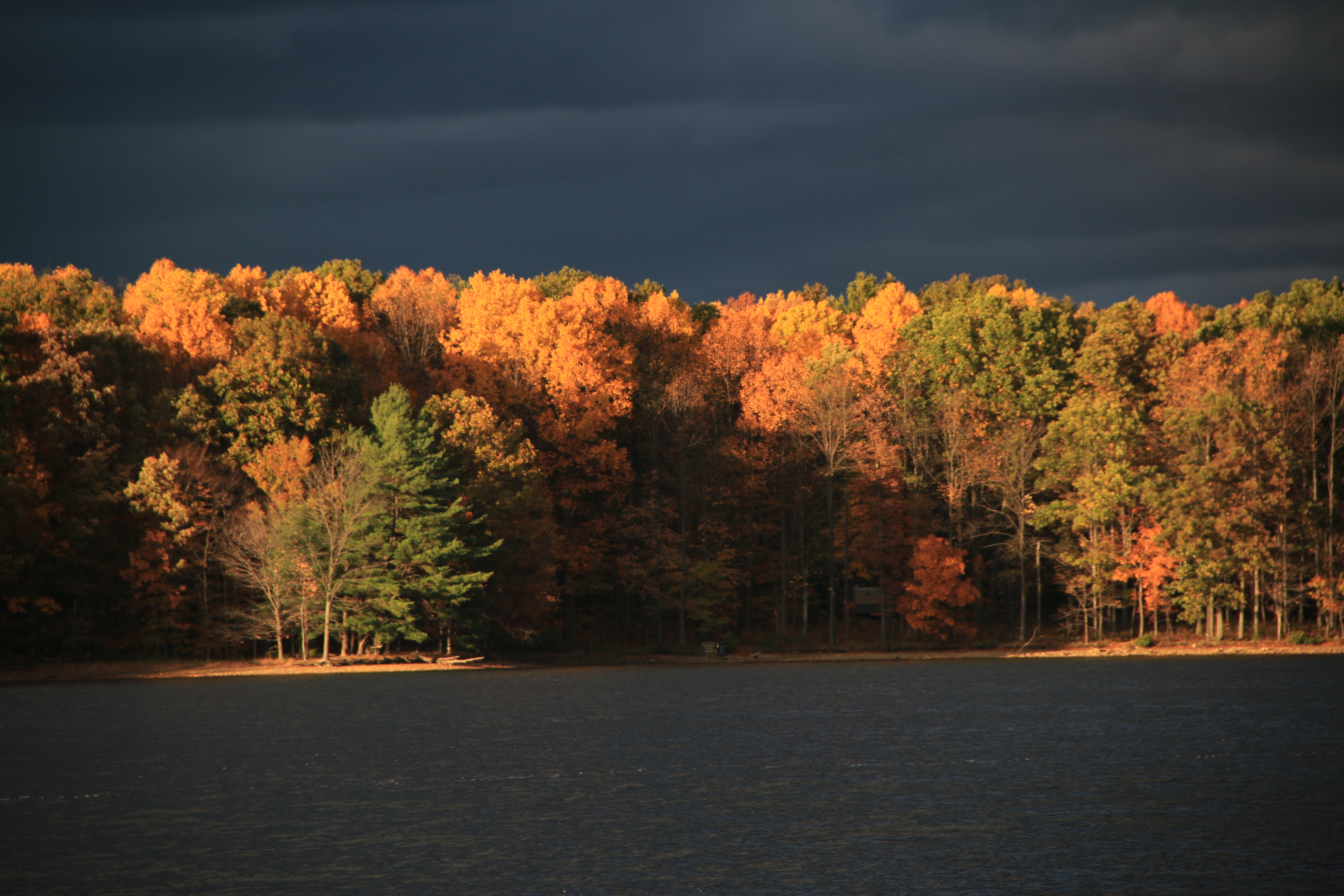
The Color Change on Lake Habeeb