Elevation of Courzieu, France
Location: France > Rhône >
Longitude: 4.569632
Latitude: 45.746822
Elevation: 413m / 1355feet
Barometric Pressure: 96KPa
Elevation Map:
Satellite Map:
Related Photos:
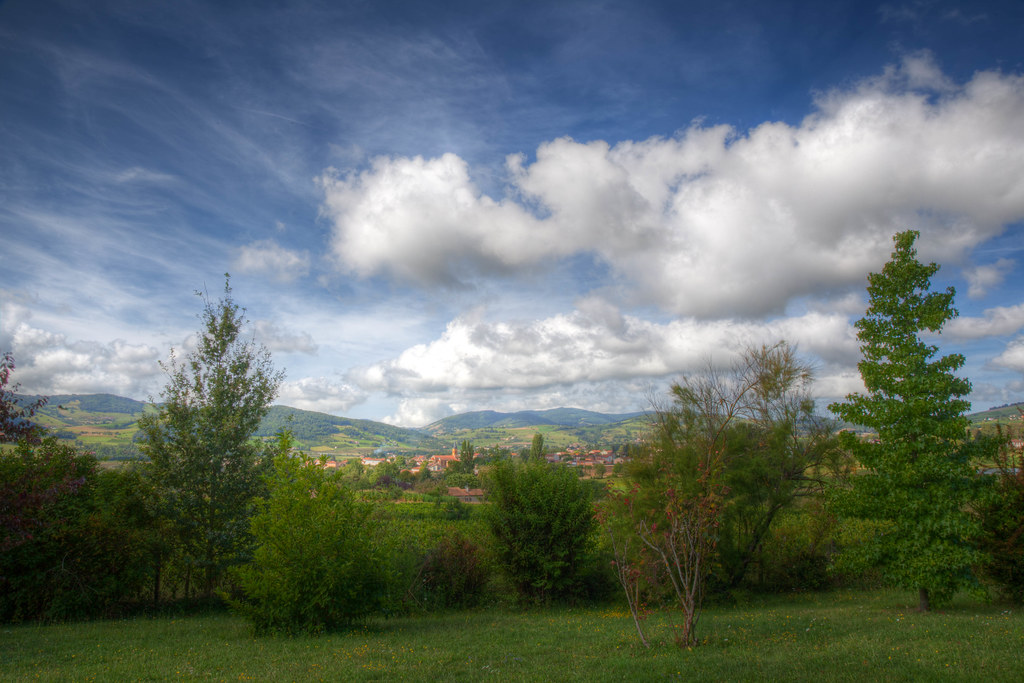
Morning Skies over French Countryside (HDR)
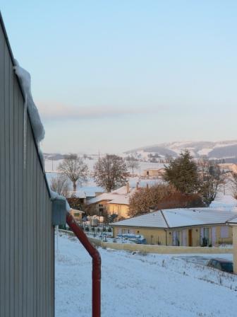
view from my office
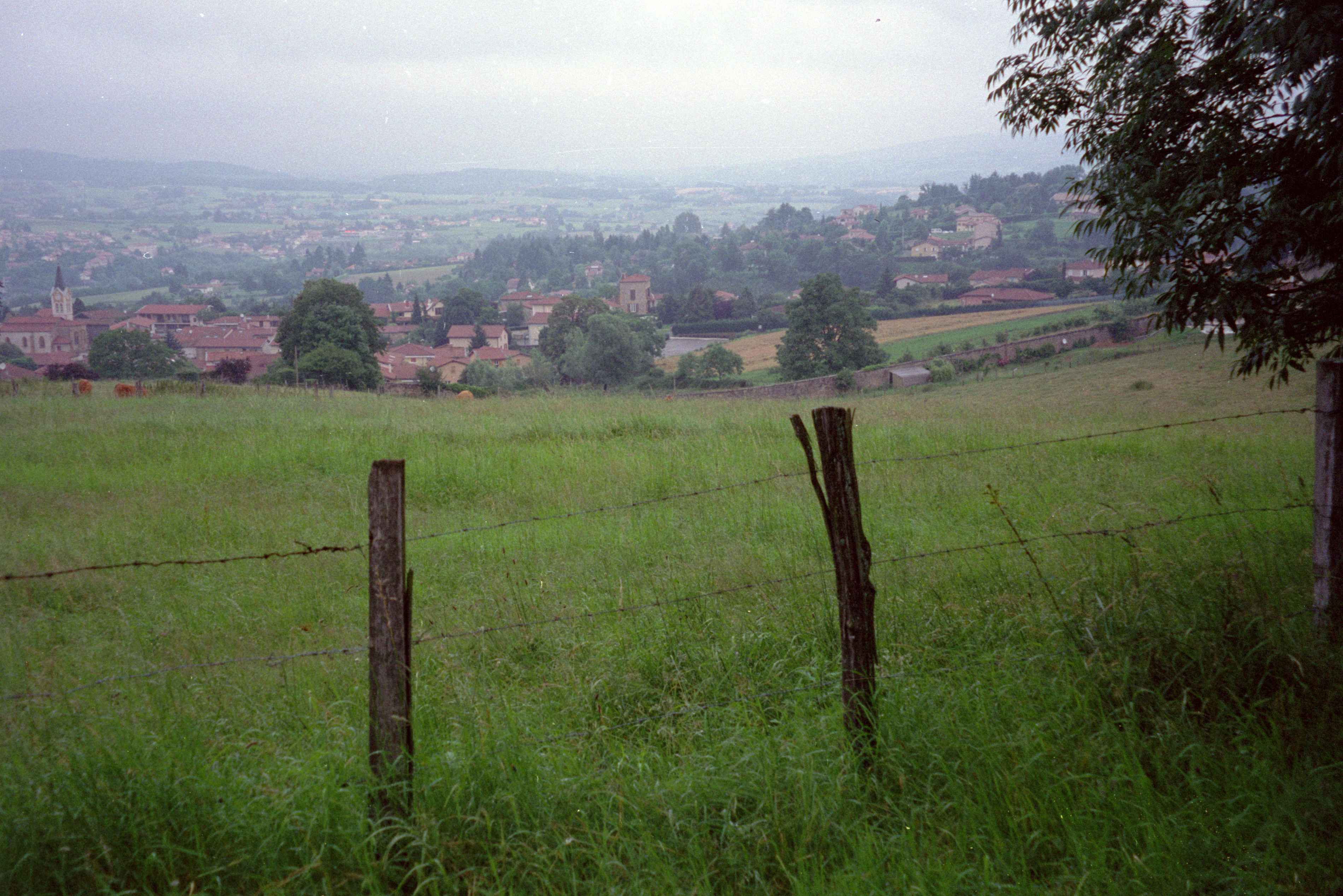
la tourette - grounds - view down to town

Landscape panorama
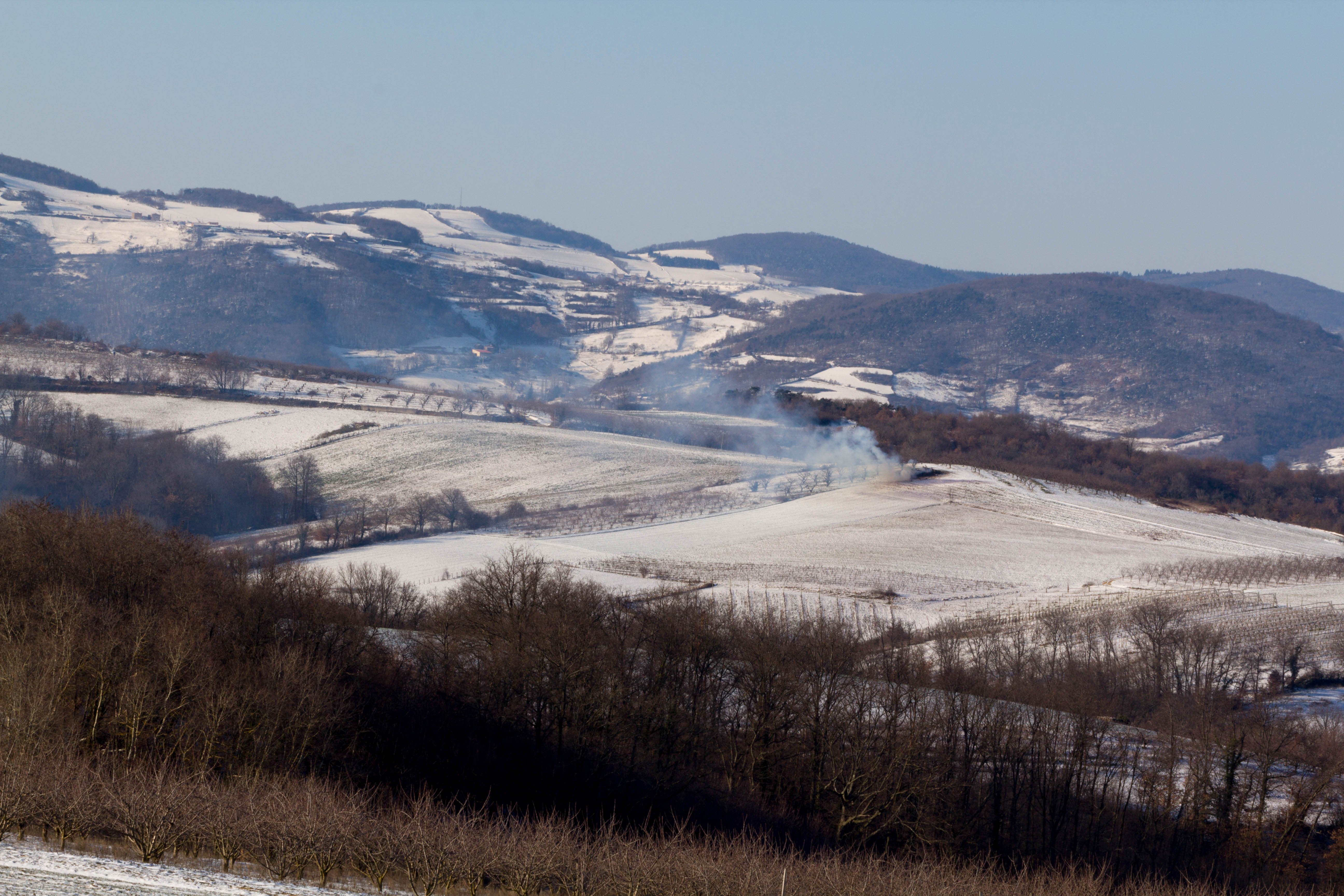
Le Lyonnais
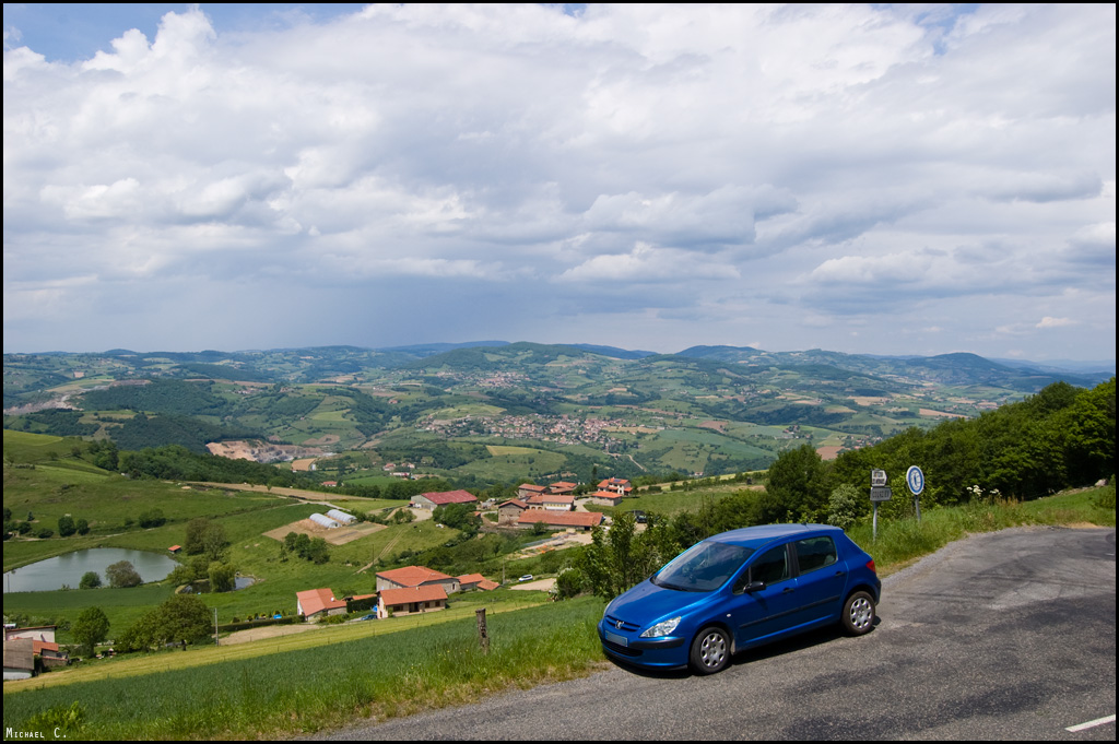
PEUGEOT 307 in front of a great landscape
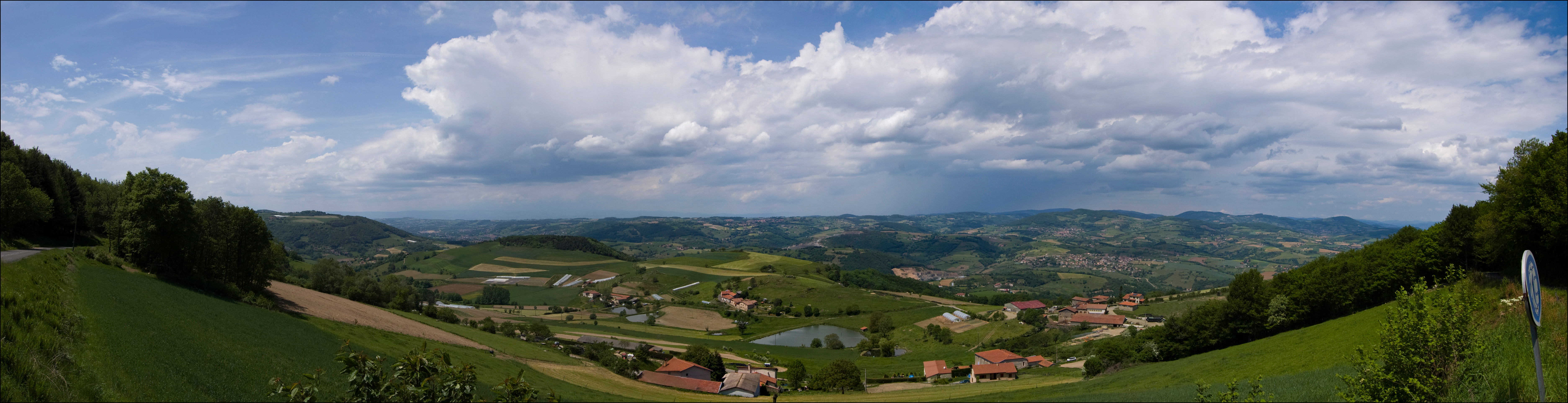
Landscape panorama (HR)
Topographic Map of Courzieu, France
Find elevation by address:

Places near Courzieu, France:
Rhône
Yzeron
Châteauvieux
91 Route d'Eveux, Lentilly, France
1 Rue du Joly, Lentilly, France
Lentilly
Brindas
32 Chemin du Garon, Brindas, France
Pontcharra-sur-turdine
Vindry-sur-turdine
Missilieu, Saint-Maurice-sur-Dargoire, France
8 Le Plan, Bagnols, France
Dommartin
Bagnols
Saint-maurice-sur-dargoire
Chaponost
La Champinière, Saint-Romain-en-Jarez, France
Saint-romain-en-jarez
Chemin de Bois Dieu, Dommartin, France
20 Combalat, Chaponost, France
Recent Searches:
- Elevation of Corso Fratelli Cairoli, 35, Macerata MC, Italy
- Elevation of Tallevast Rd, Sarasota, FL, USA
- Elevation of 4th St E, Sonoma, CA, USA
- Elevation of Black Hollow Rd, Pennsdale, PA, USA
- Elevation of Oakland Ave, Williamsport, PA, USA
- Elevation of Pedrógão Grande, Portugal
- Elevation of Klee Dr, Martinsburg, WV, USA
- Elevation of Via Roma, Pieranica CR, Italy
- Elevation of Tavkvetili Mountain, Georgia
- Elevation of Hartfords Bluff Cir, Mt Pleasant, SC, USA