Elevation of Courtney Ln, Orinda, CA, USA
Location: United States > California > Contra Costa County > Orinda > Glorietta >
Longitude: -122.16127
Latitude: 37.8646139
Elevation: 281m / 922feet
Barometric Pressure: 98KPa
Elevation Map:
Satellite Map:
Related Photos:

parallel streams

So ends this day ...

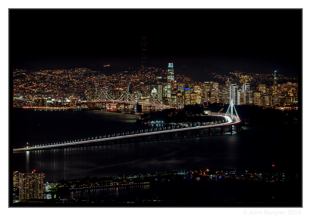
Two Bridges at Twilight

Oakland Sunsets

San Francisco Skyline from Berkeley Marina

San Francisco from Alameda (2 of 2)

Golden-Gate Sunset Before Smoke-Filled Skies

Path to the Clouds

The fog kept on rolling in

Sunrise on the Contra Costa Canal

San Francisco Bay from Claremont Hills

Summer Afternoon view of Mt. Diablo

Morning Fog over San Francisco Bay

Bright Lights, Small City - Walnut Creek

Spotted Towhee

Early Morning View with Clouds

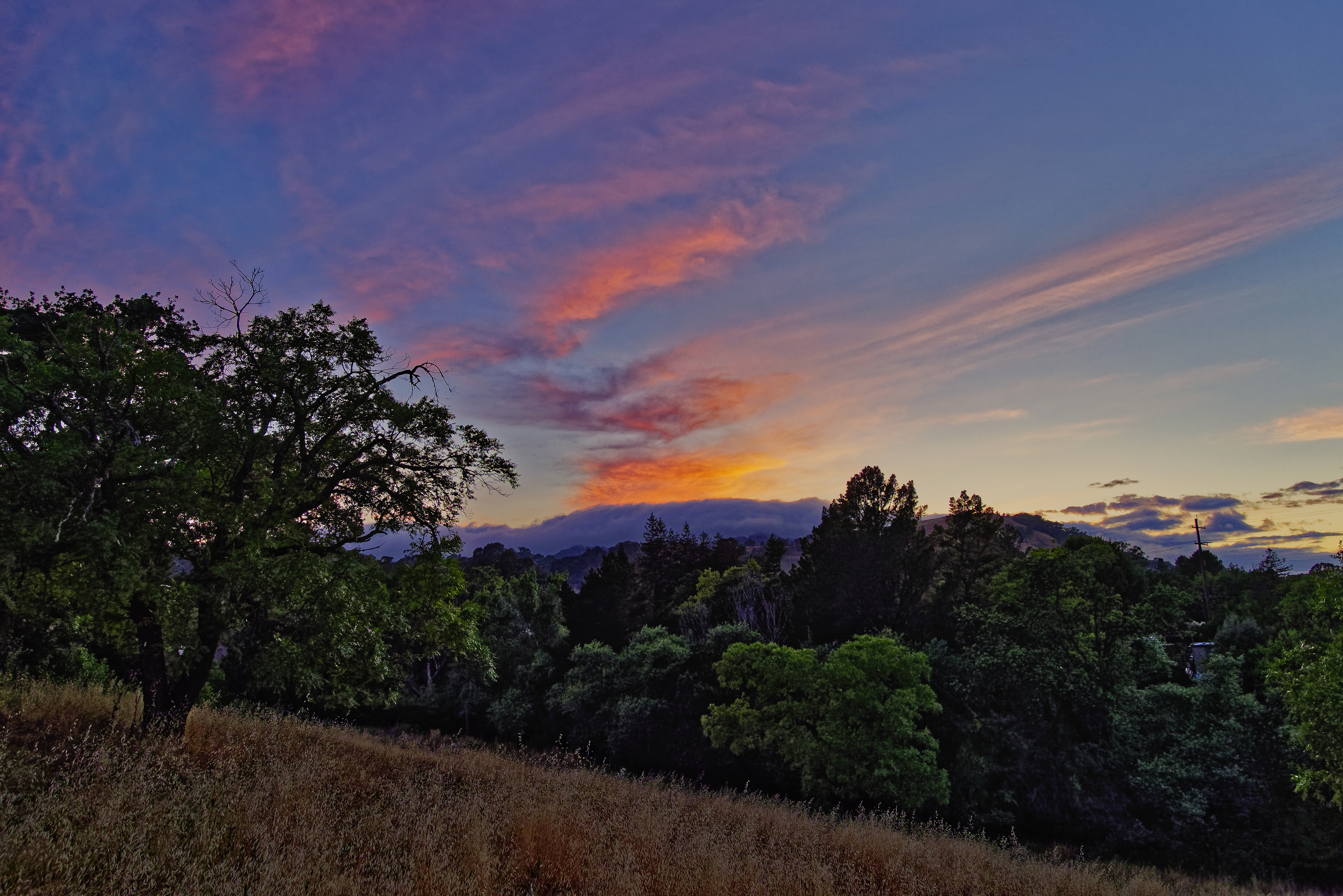
Hazy Sunset View to Briones Peak

Pacific-slope Flycatcher

Morning Fog over San Francisco Bay

Sunset City View from Lime Ridge

Morning Fog over San Francisco Bay

Foggy rock
Foggy tree
Clarity after the Storm

Morning Over the City By The Bay

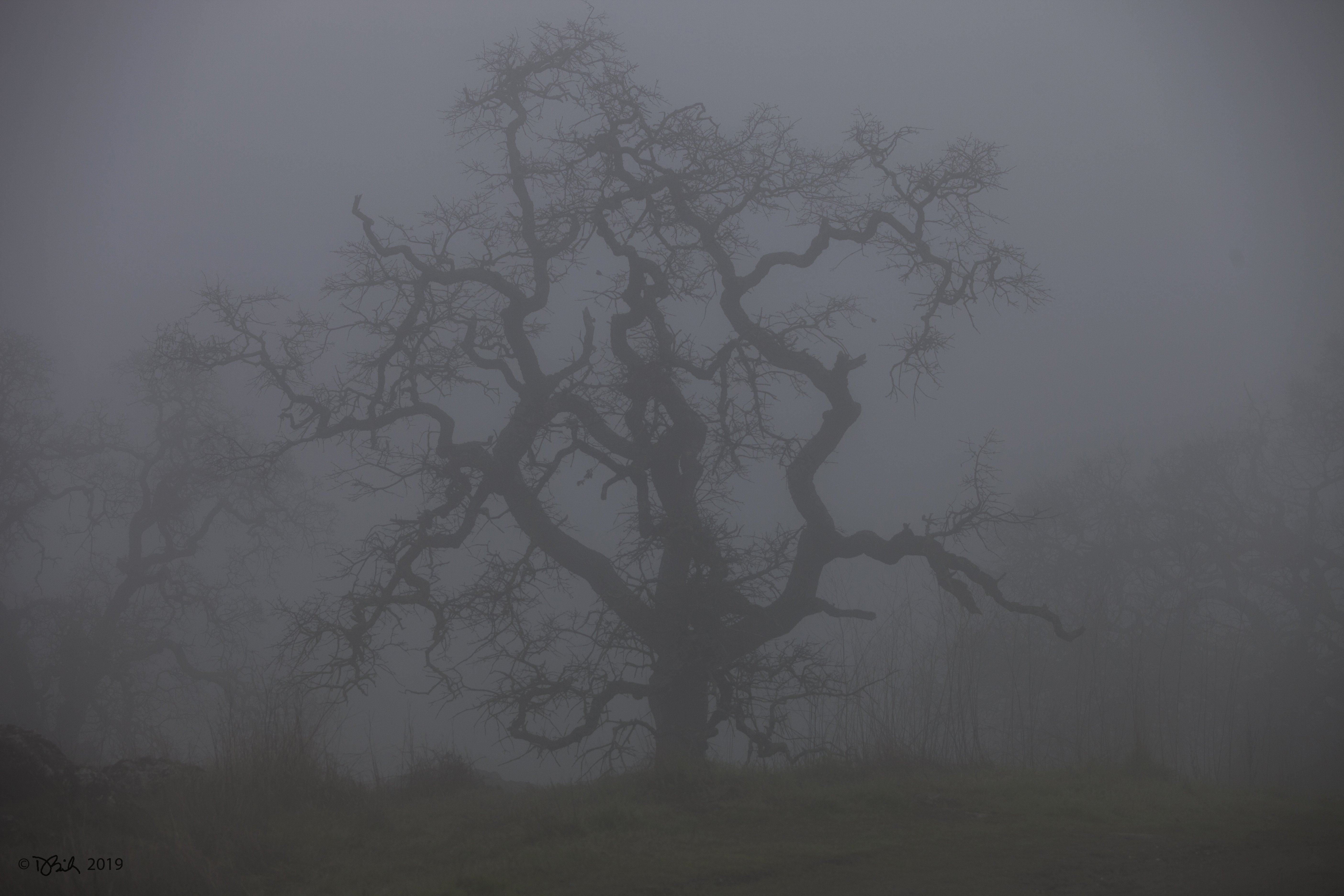
Foggy Oak

Cumulus Clouds over the Mount Diablo Range

While the Hills are Green!

This evening at the lake
Another Countrywood Sunset

Foggy Oak

Storm Clouds over Mt. Diablo

House finch- female
Sunset over the Lafayette Hills

Sunset Light on Mt. Diablo

Sunny Lime Ridge Afternoon

Sky on Fire

Oak sunset, Shell Ridge

Super Blue Blood Moon Setting
Topographic Map of Courtney Ln, Orinda, CA, USA
Find elevation by address:

Places near Courtney Ln, Orinda, CA, USA:
Glorietta
16 Glorietta Ct, Orinda, CA, USA
20 Hall Dr
Alice
300 Moraga Way
29 La Fond Ln
51 Martha Rd
5 Risa Ct
Orinda
Knickerbocker
Knickerbocker Lane
139 Warfield Dr
21 Spring Rd
91 Muth Dr
12 Paintbrush Ln, Orinda, CA, USA
Carroll Ranch
750 Moraga Way
200 The Knoll
9 Corte Azul
3849 Mt Diablo Blvd
Recent Searches:
- Elevation of Elwyn Dr, Roanoke Rapids, NC, USA
- Elevation of Congressional Dr, Stevensville, MD, USA
- Elevation of Bellview Rd, McLean, VA, USA
- Elevation of Stage Island Rd, Chatham, MA, USA
- Elevation of Shibuya Scramble Crossing, 21 Udagawacho, Shibuya City, Tokyo -, Japan
- Elevation of Jadagoniai, Kaunas District Municipality, Lithuania
- Elevation of Pagonija rock, Kranto 7-oji g. 8"N, Kaunas, Lithuania
- Elevation of Co Rd 87, Jamestown, CO, USA
- Elevation of Tenjo, Cundinamarca, Colombia
- Elevation of Côte-des-Neiges, Montreal, QC H4A 3J6, Canada