Elevation of County Street, Tuttle, OK, USA
Location: United States > Oklahoma > Grady County > Tuttle >
Longitude: -97.847262
Latitude: 35.228465
Elevation: 383m / 1257feet
Barometric Pressure: 97KPa
Elevation Map:
Satellite Map:
Related Photos:

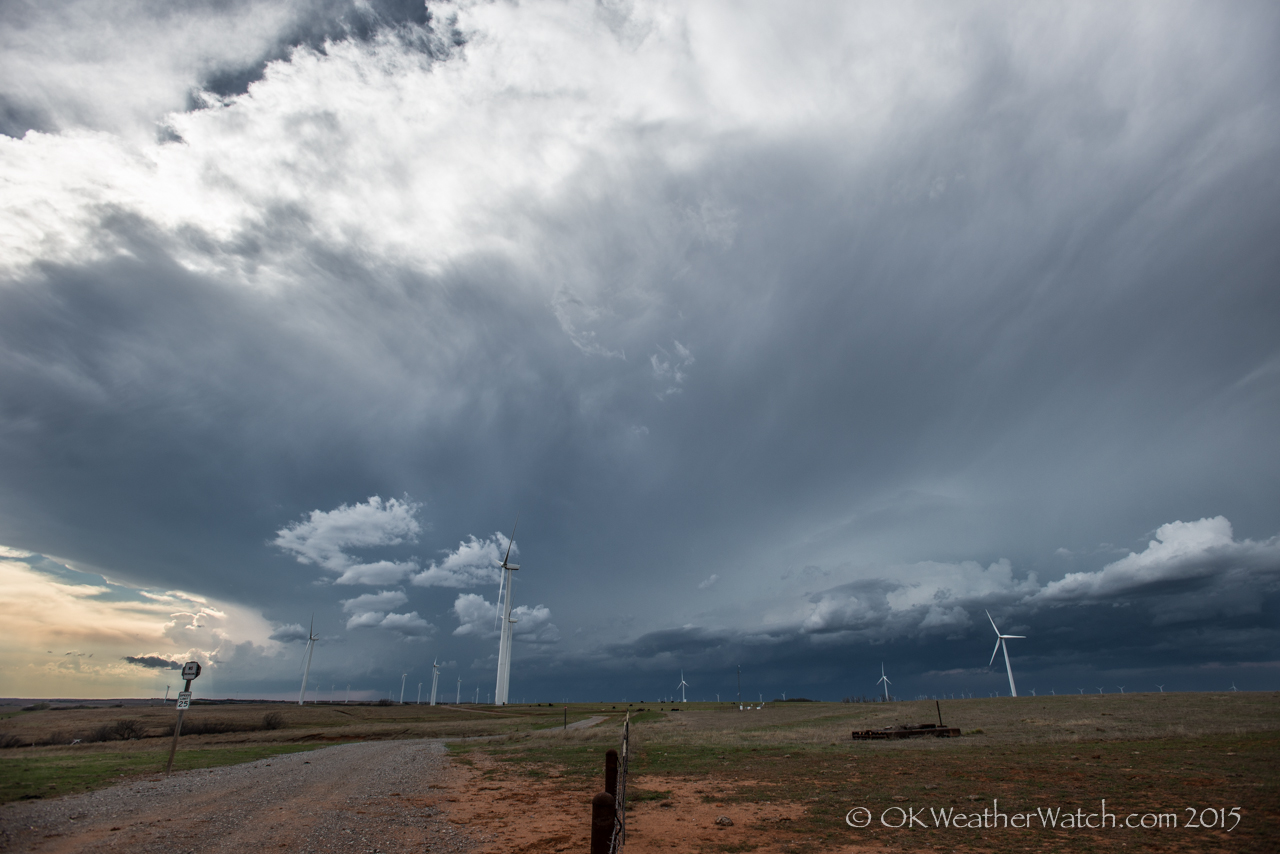
Evening Storms
Exploring Oklahoma

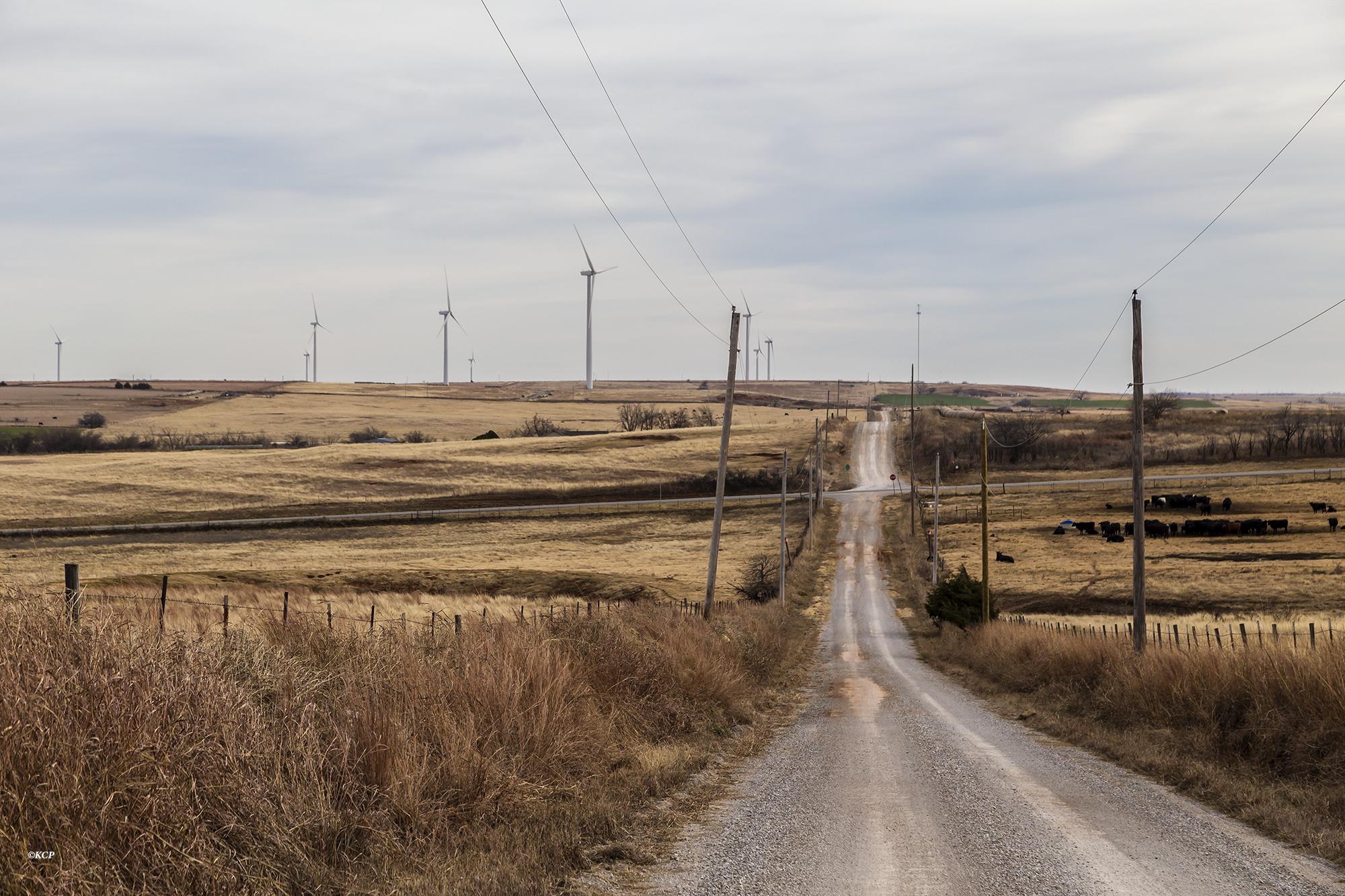
In the Land of Giants
Eakly, Oklahoma

P8240075-1

I couldn't resist this sunset over Mustang on the way home. #mustang #sunset #drive

2010-05-16_2857

2010-05-16_2854
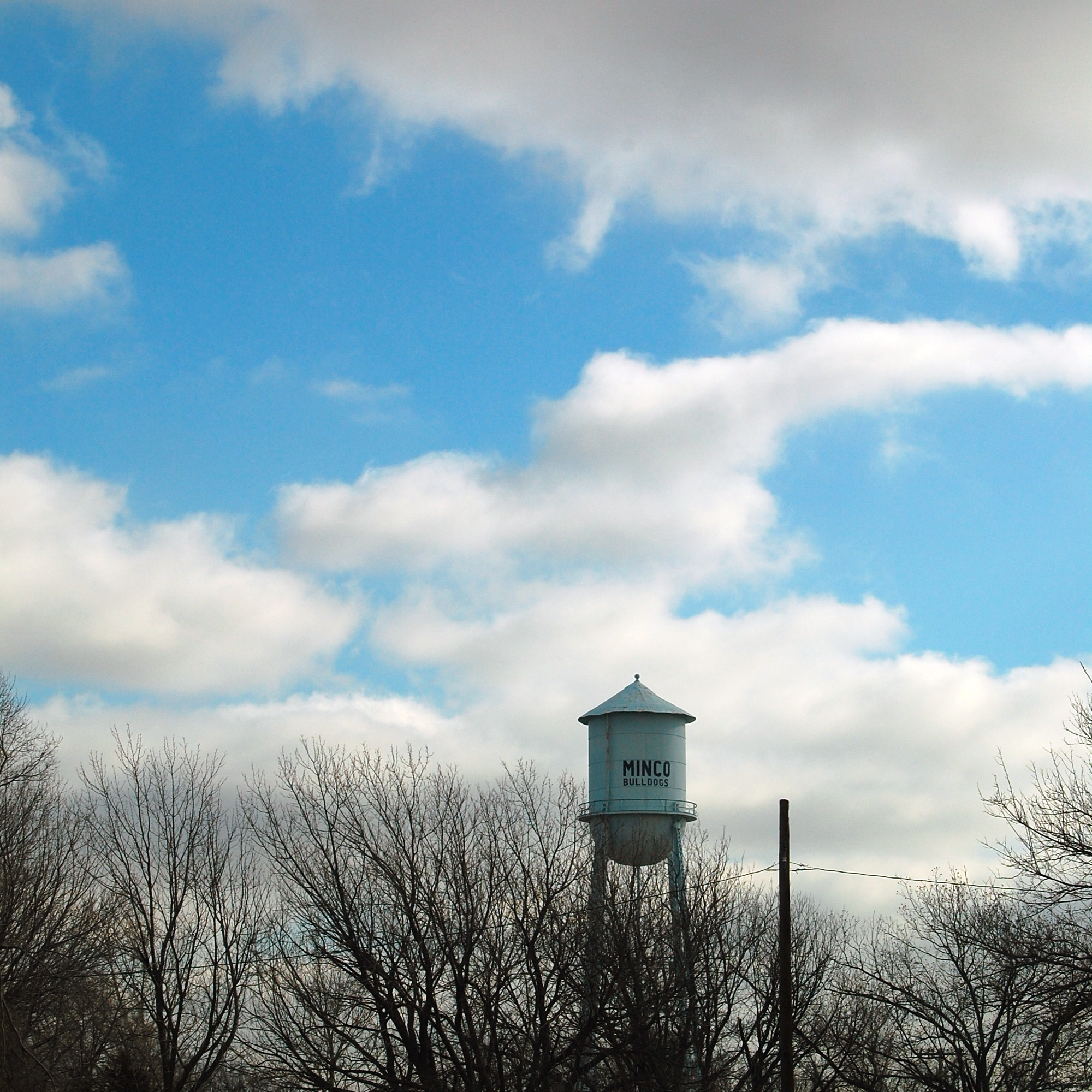
Minco Water Tower

2010-05-16_2863
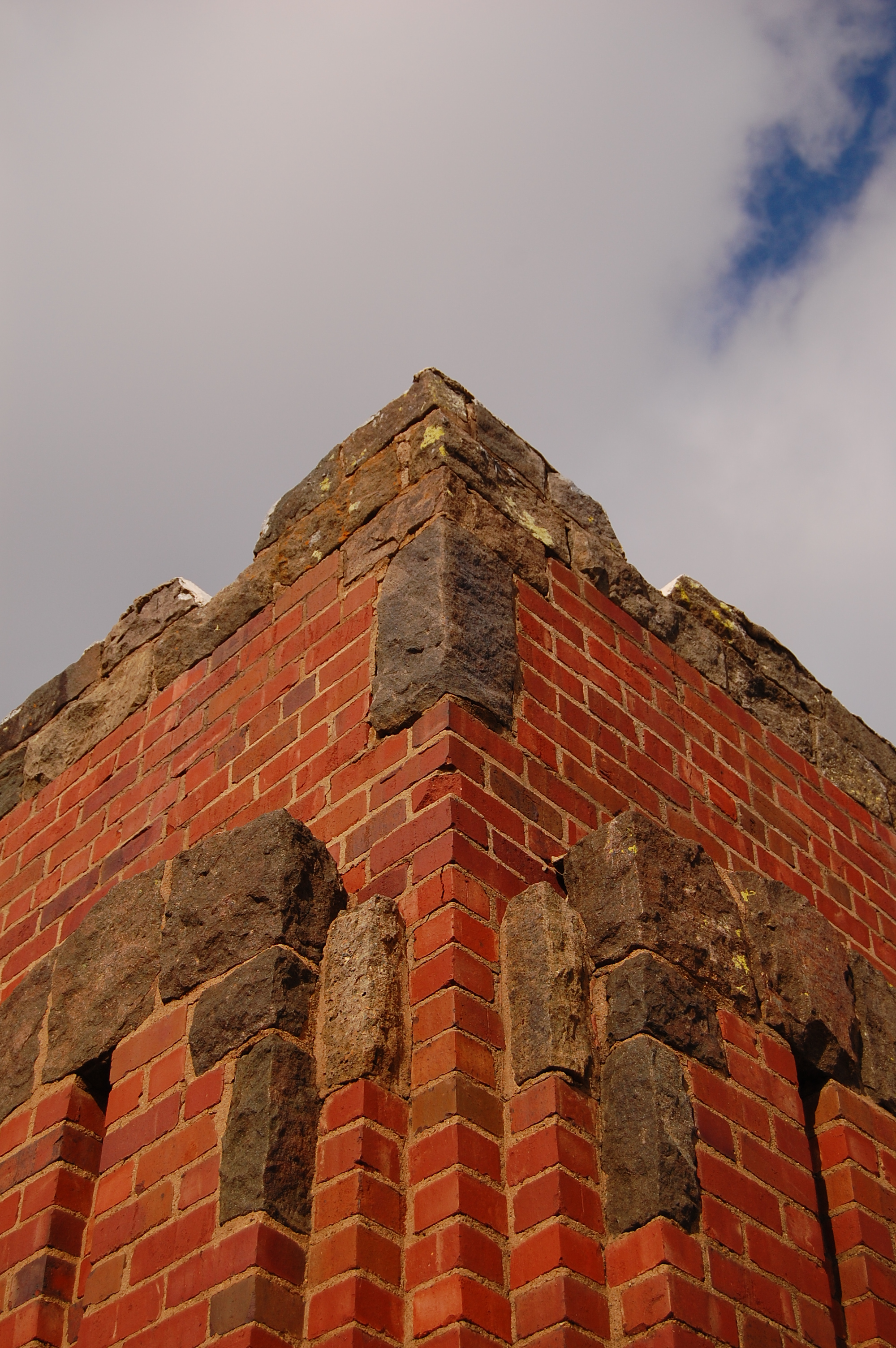
Brick and Stone
Farm on the north side

May 29 Central Oklahoma
Stairs to the stage
Industry on the horizon

DSC01253.JPG

20150506-IMG_1953
Topographic Map of County Street, Tuttle, OK, USA
Find elevation by address:

Places near County Street, Tuttle, OK, USA:
34 OK-37, Tuttle, OK, USA
Tuttle
1524 County Road 1170
2000 E Rock Creek Rd
2413 Ridge Run Dr
Sw 89th St W & Copper Creek Dr
8580 Sw 89th St
Copper Creek Drive
Scapes Inc
Sw 89th St W & S Ebeling Dr
Union City
Southwest 89th Street
Mustang
E Forster Ln, Mustang, OK, USA
Pebble Creek Apartments
10501 Birdnest Ct
Southwest Oklahoma City
2141 E Brook Terrace
12308 Sw 12th St
Patco Village
Recent Searches:
- Elevation of Lagasgasan, X+CQH, Tiaong, Quezon, Philippines
- Elevation of Rojo Ct, Atascadero, CA, USA
- Elevation of Flagstaff Drive, Flagstaff Dr, North Carolina, USA
- Elevation of Avery Ln, Lakeland, FL, USA
- Elevation of Woolwine, VA, USA
- Elevation of Lumagwas Diversified Farmers Multi-Purpose Cooperative, Lumagwas, Adtuyon, RV32+MH7, Pangantucan, Bukidnon, Philippines
- Elevation of Homestead Ridge, New Braunfels, TX, USA
- Elevation of Orchard Road, Orchard Rd, Marlborough, NY, USA
- Elevation of 12 Hutchinson Woods Dr, Fletcher, NC, USA
- Elevation of Holloway Ave, San Francisco, CA, USA