Elevation of County Rte 1, Baker, WV, USA
Location: United States > West Virginia > Baker >
Longitude: -78.834514
Latitude: 39.1110406
Elevation: 679m / 2228feet
Barometric Pressure: 93KPa
Elevation Map:
Satellite Map:
Related Photos:

South Branch Potomac
DSC01432 027 View

Golden Eagle immature GBBC
Lost River

DSC01434 027 View
DSC01435 027 View

DSC01431 027 View

Mountain range view from Chimney Top
catching the view while we stop to fix a flat
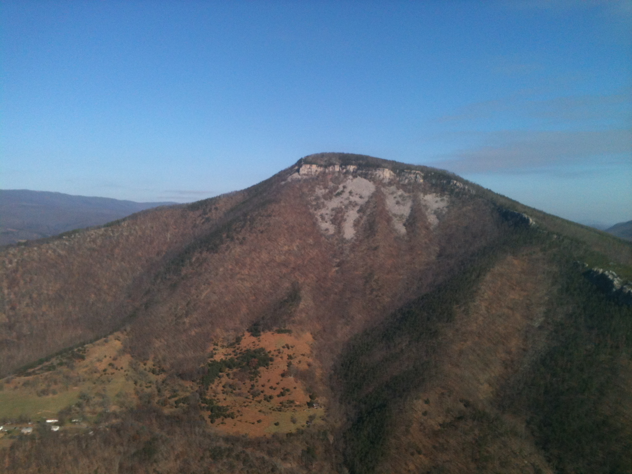
Mountain range view from Chimney Top

EXITING "THE TROUGH"
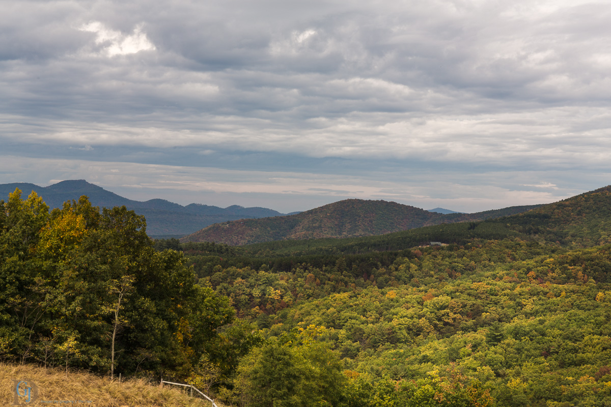
Appalachian Autumn
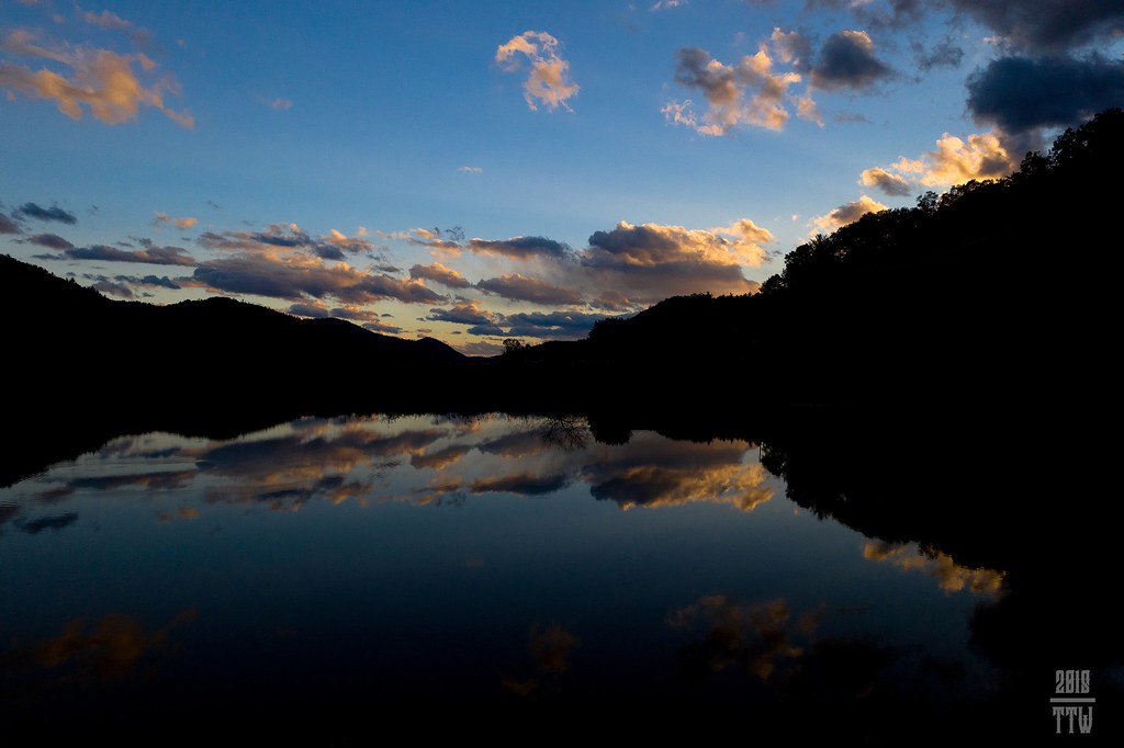
Sunset At 10 Feet

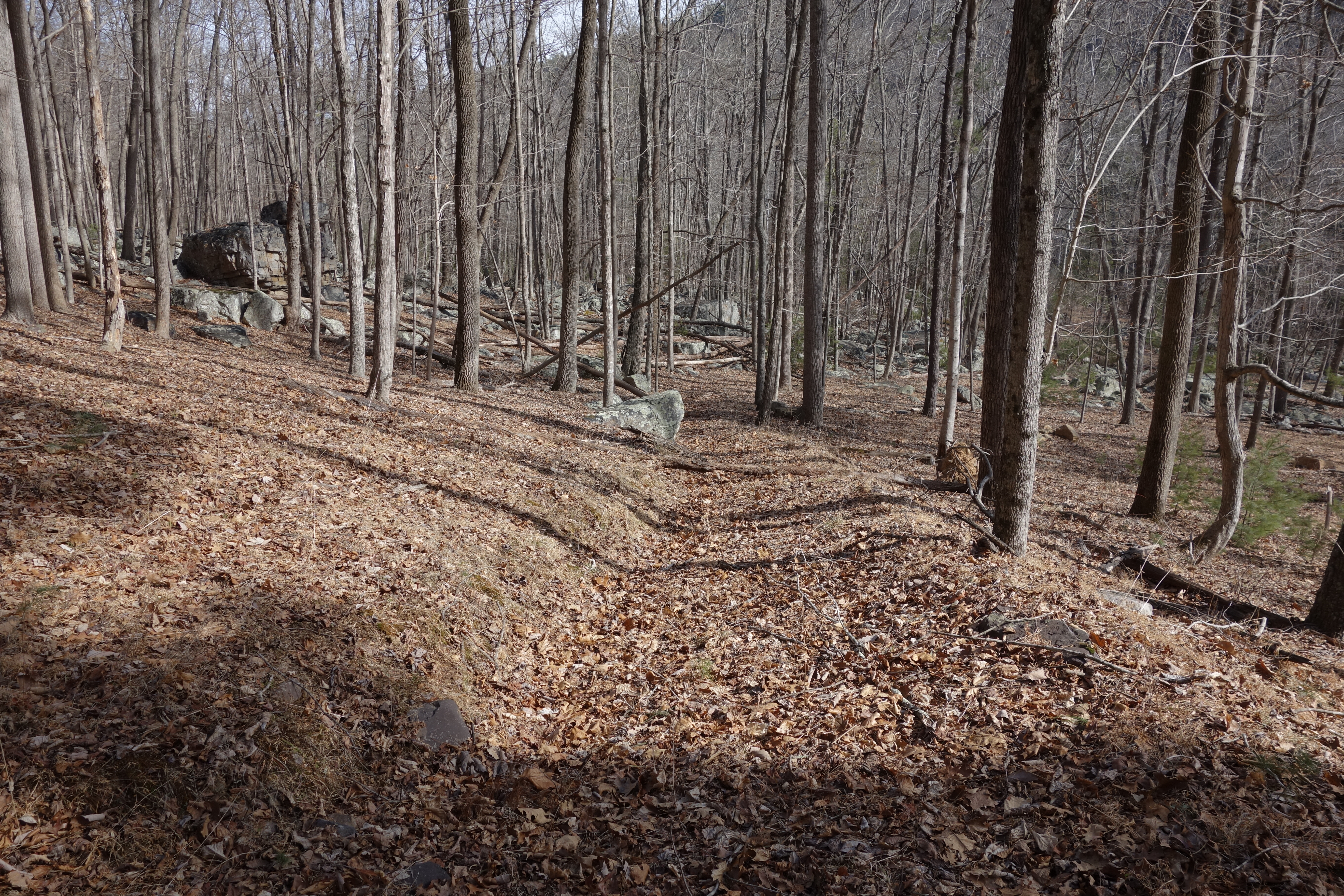
Forested mountains in Hardy County, W.Va.

Grain silo in Hardy County, W.Va.
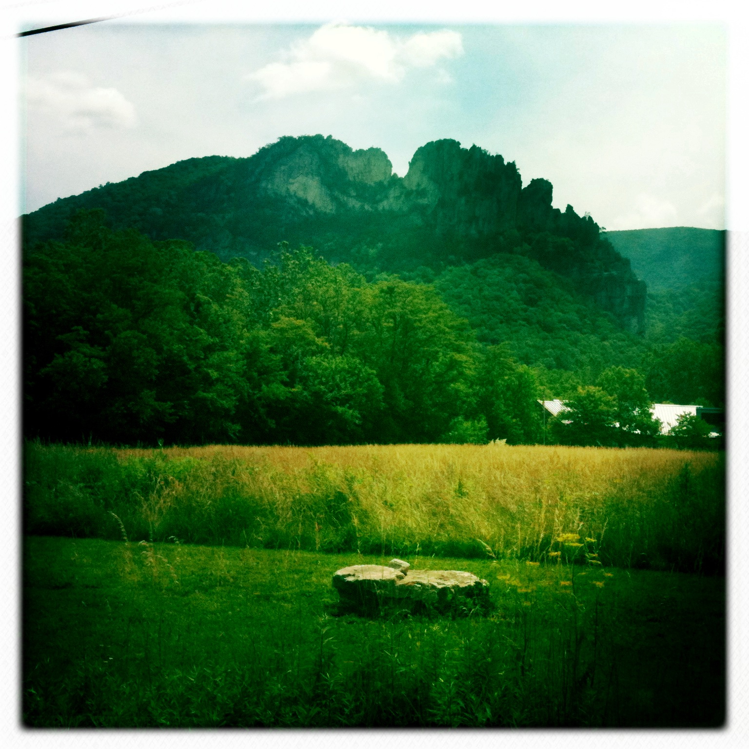
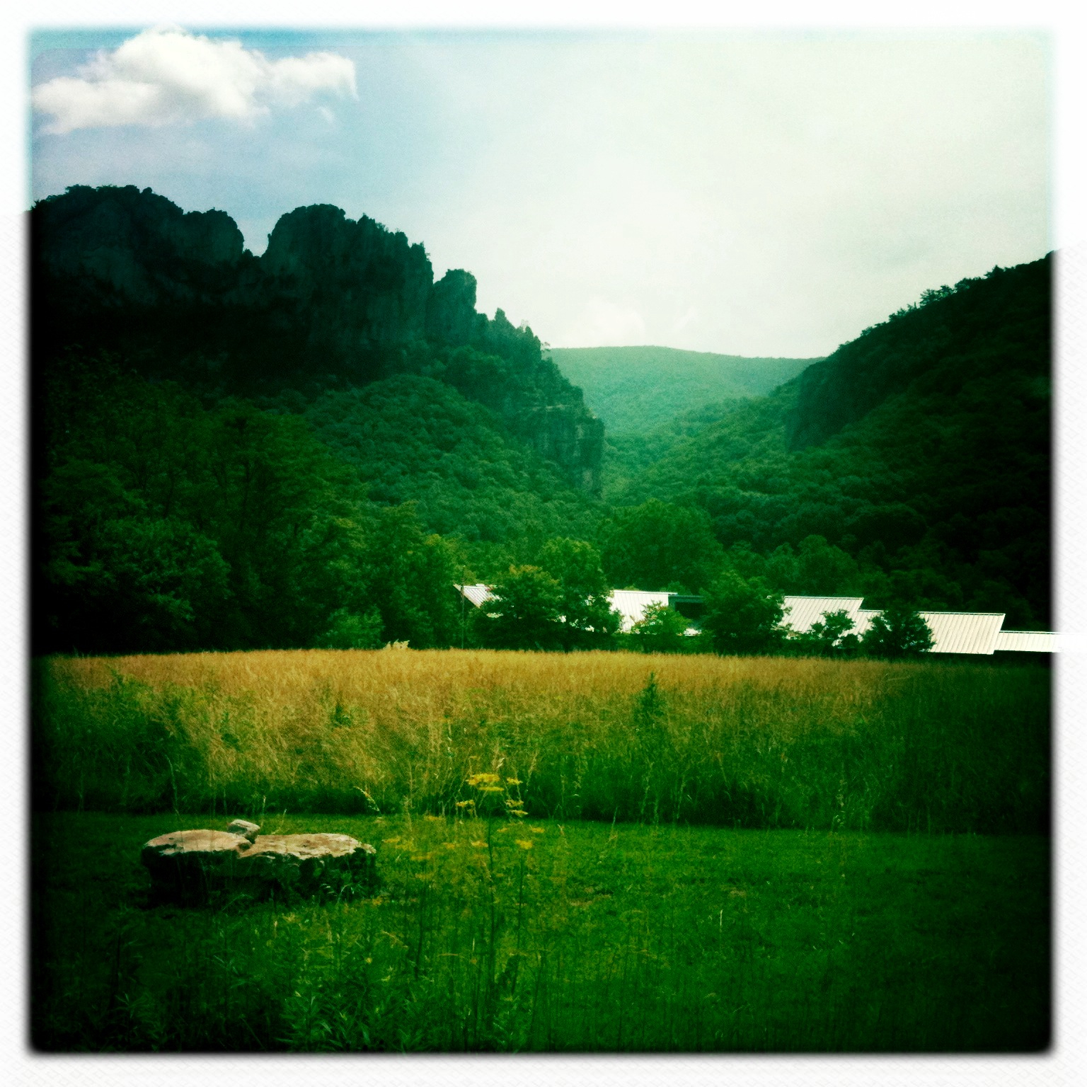
Red hill landscape
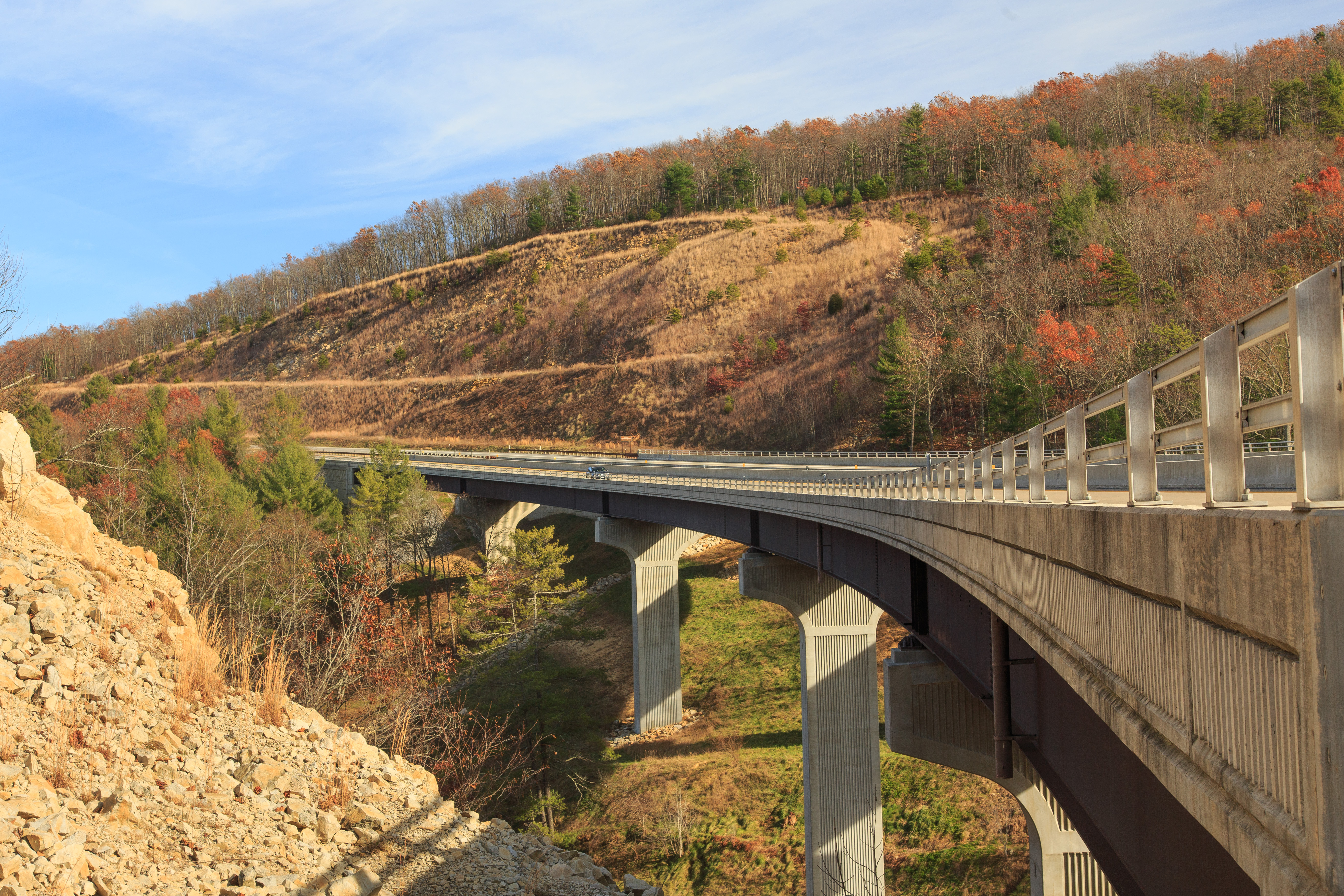
Highway Bridge

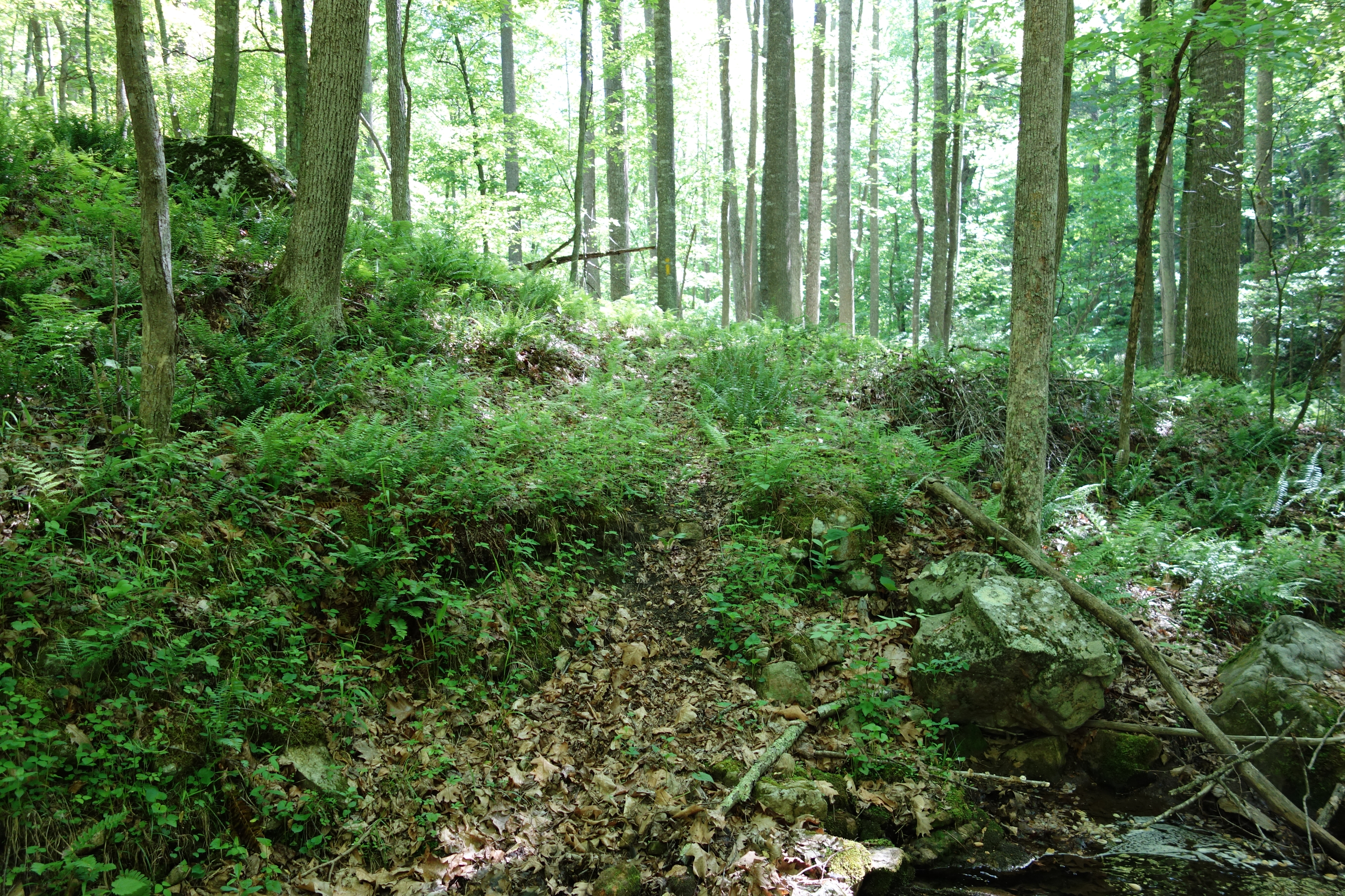
DSC01011 010 Sandy Ridge Tr jct FDR 344_Squirrel Gap Tr
Camera Roll-263
Camera Roll-264

untitled-01651
DSC00974 005 Utility Tr near Squirrel Gap Tr Old Rte 55

Forested mountains in Hardy County, W.Va.
DSC00966 003 Jct Squirrel Gap Tr Lost River

Forested mountains in Hardy County, W.Va.
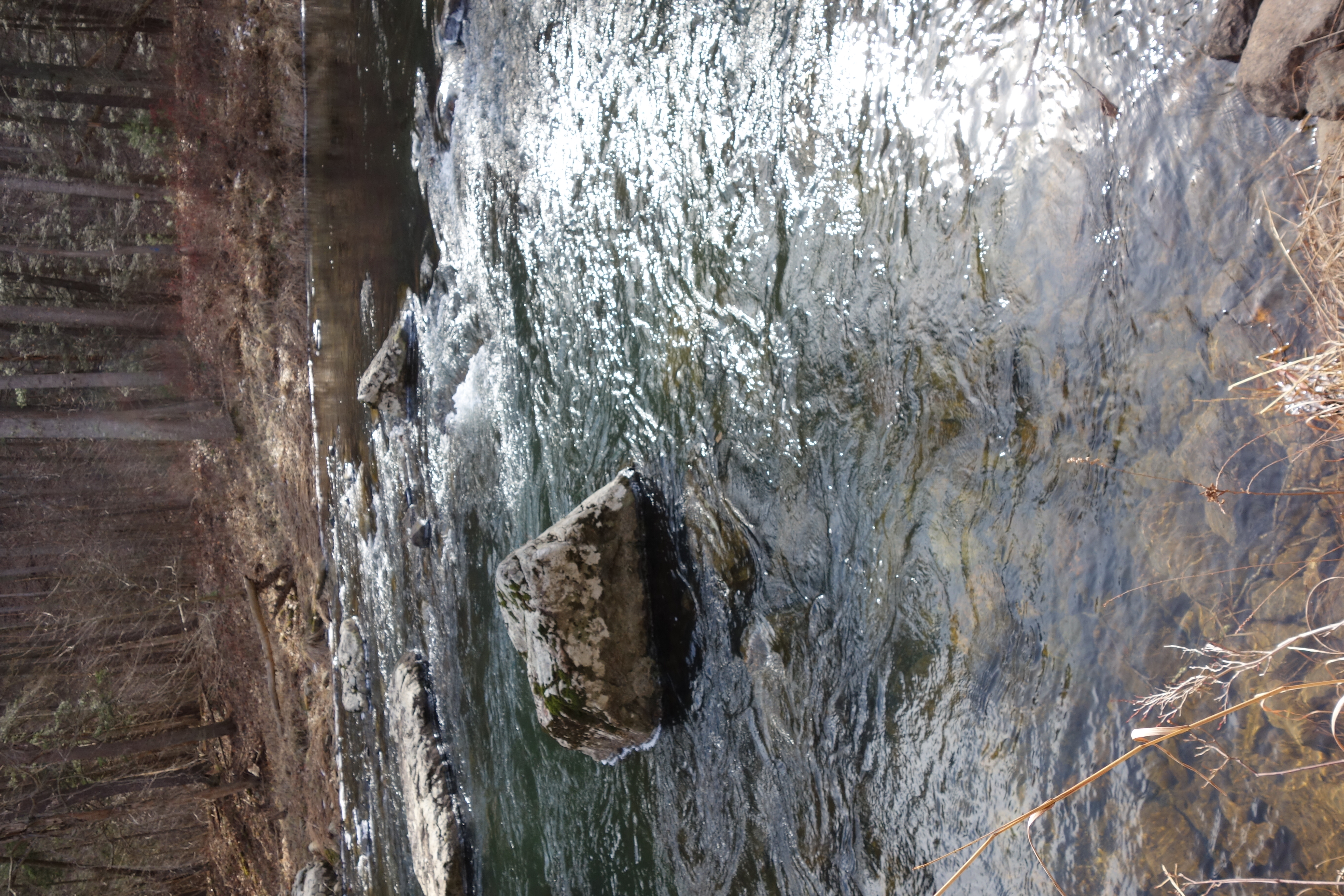
DSC01356 009 Stream Xing
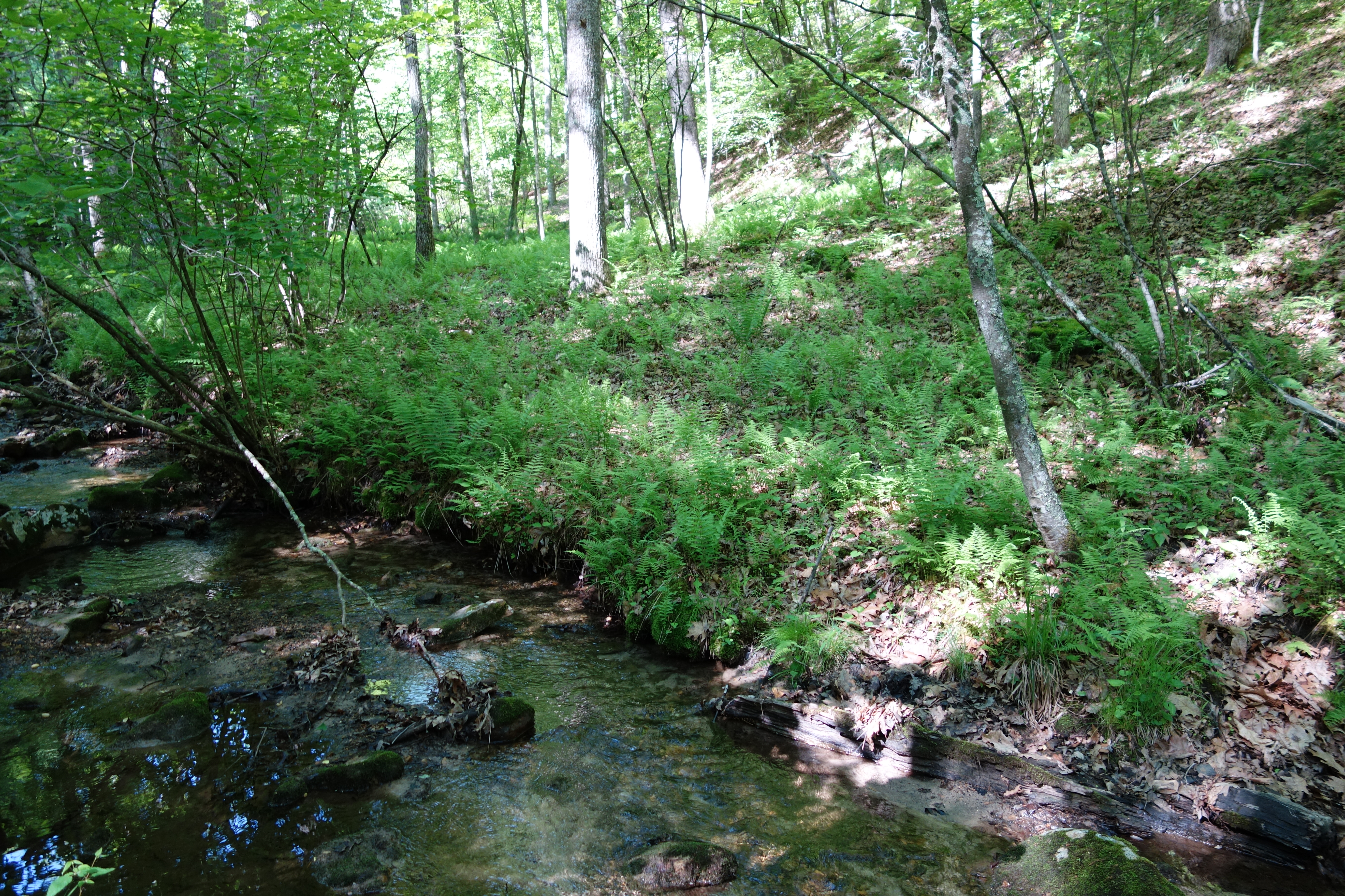
DSC01340 004 Stream Xing

Forested mountains in Hardy County, W.Va.
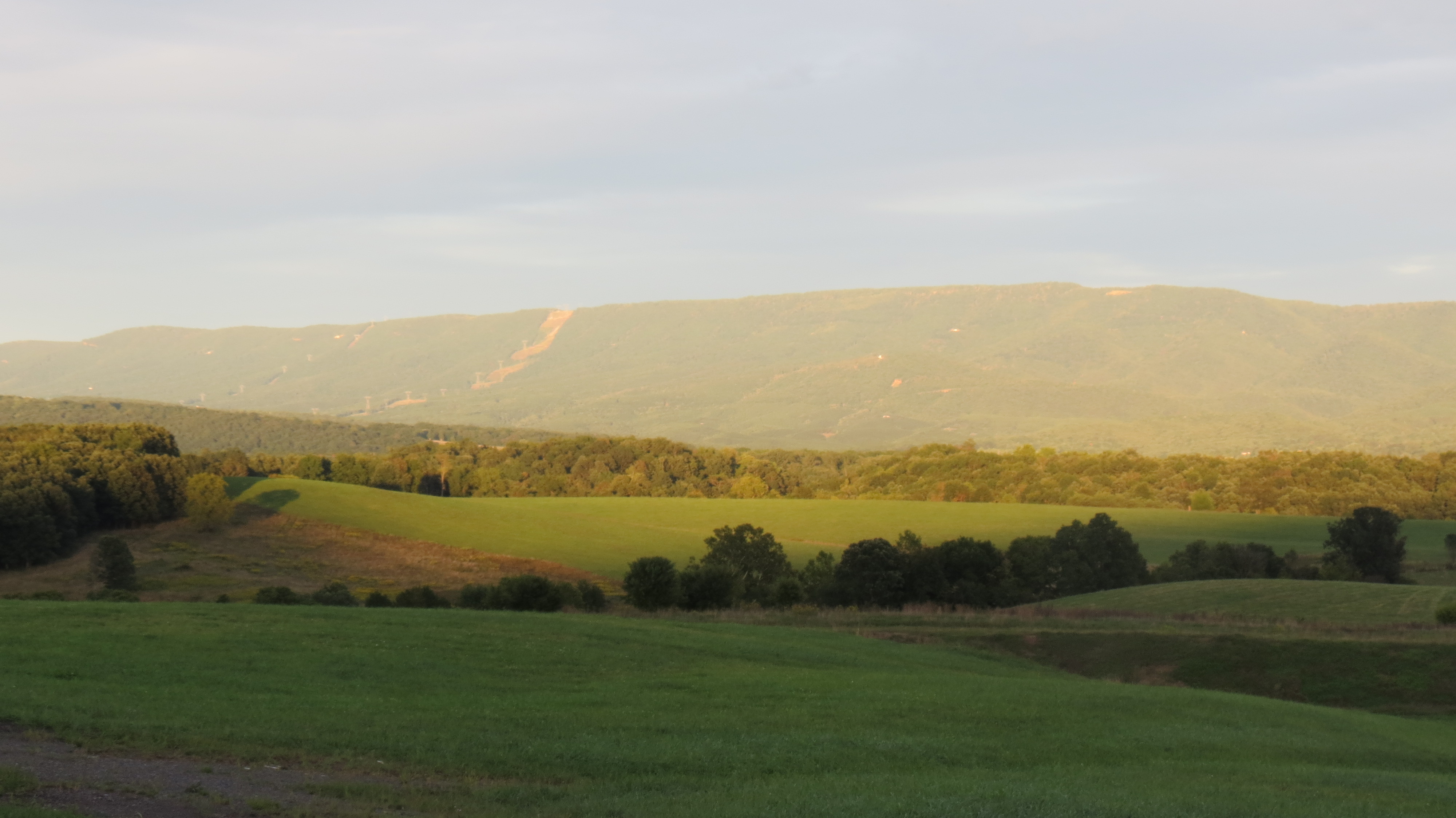
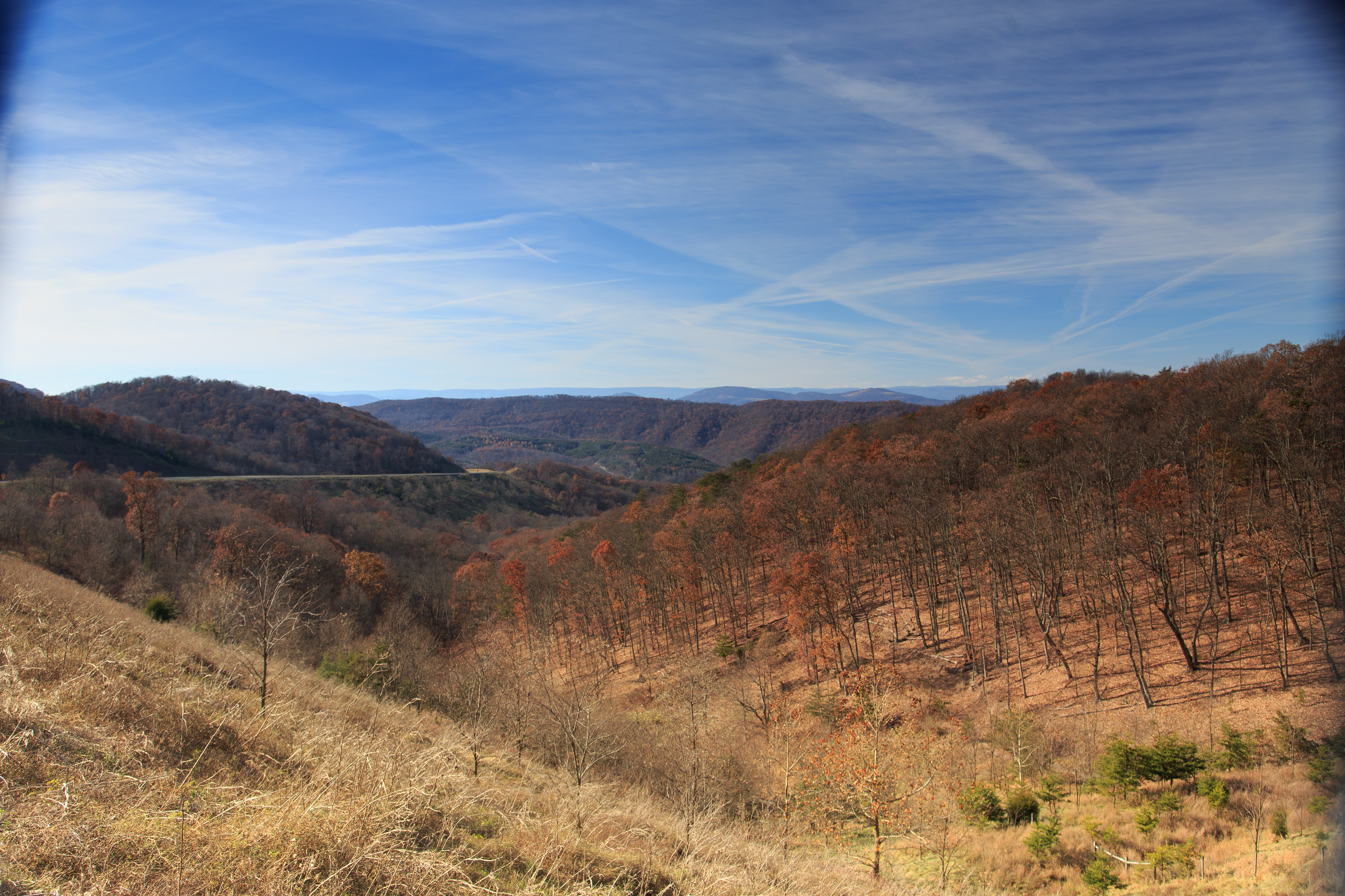
Hardy County hills
Topographic Map of County Rte 1, Baker, WV, USA
Find elevation by address:

Places near County Rte 1, Baker, WV, USA:
Mt Oliver Rd, Rio, WV, USA
1456 Co Rte 23/3
South Branch Mountain Road
2075 Co Rd 23/4
Ridge View Road
3919 Needmore Rd
481 Upper Pine Grove Rd
Winterberry Drive
Ashton Woods Drive
Old Poplar Drive
Lower Pine Grove Road
N River Rd, Baker, WV, USA
2000 Wv-55
2000 Wv-55 #304
986 Dover Hollow Rd
Horn Camp Road
Moorefield
2254 High Knob Rd
Powder Spring Knob
96 River View Ln, Moorefield, WV, USA
Recent Searches:
- Elevation of Groblershoop, South Africa
- Elevation of Power Generation Enterprises | Industrial Diesel Generators, Oak Ave, Canyon Country, CA, USA
- Elevation of Chesaw Rd, Oroville, WA, USA
- Elevation of N, Mt Pleasant, UT, USA
- Elevation of 6 Rue Jules Ferry, Beausoleil, France
- Elevation of Sattva Horizon, 4JC6+G9P, Vinayak Nagar, Kattigenahalli, Bengaluru, Karnataka, India
- Elevation of Great Brook Sports, Gold Star Hwy, Groton, CT, USA
- Elevation of 10 Mountain Laurels Dr, Nashua, NH, USA
- Elevation of 16 Gilboa Ln, Nashua, NH, USA
- Elevation of Laurel Rd, Townsend, TN, USA