Elevation of County Rte 17, Tuxedo Park, NY, USA
Location: United States > New York > Orange County > Crawford >
Longitude: -74.30787
Latitude: 41.563851
Elevation: 148m / 486feet
Barometric Pressure: 100KPa
Elevation Map:
Satellite Map:
Related Photos:
The colors of Manhattan

Fence Grate

John W. Chorley Elementary School - Model

Waiting For His Driver
The Forgotten Tunnel

Do Not Touch My Olds

Fan Apparel On Sale
Holy Cross Greek Orthodox Church
The Pedestrians That Didn't Cross
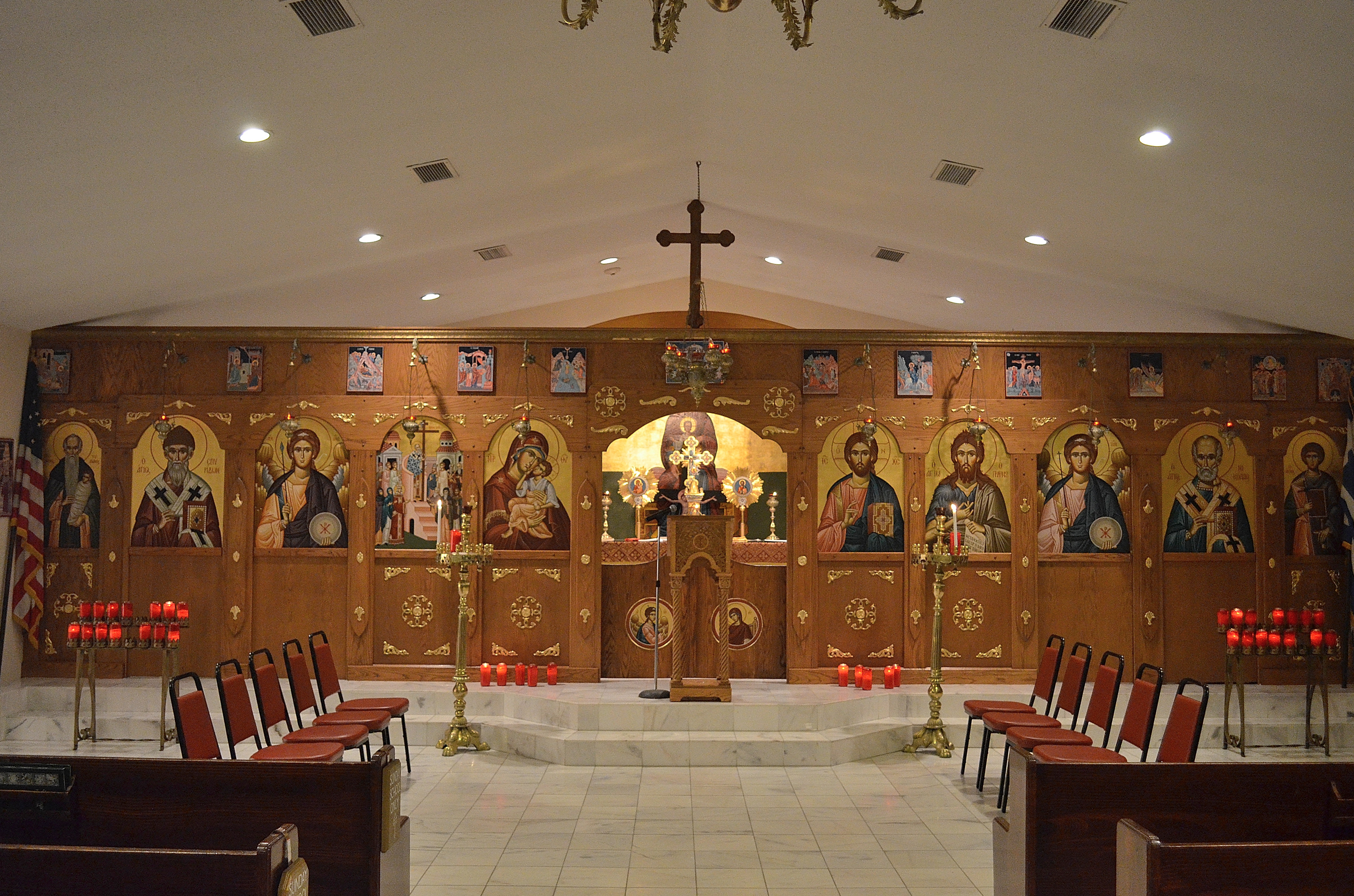
Holy Cross Greek Orthodox Church 2
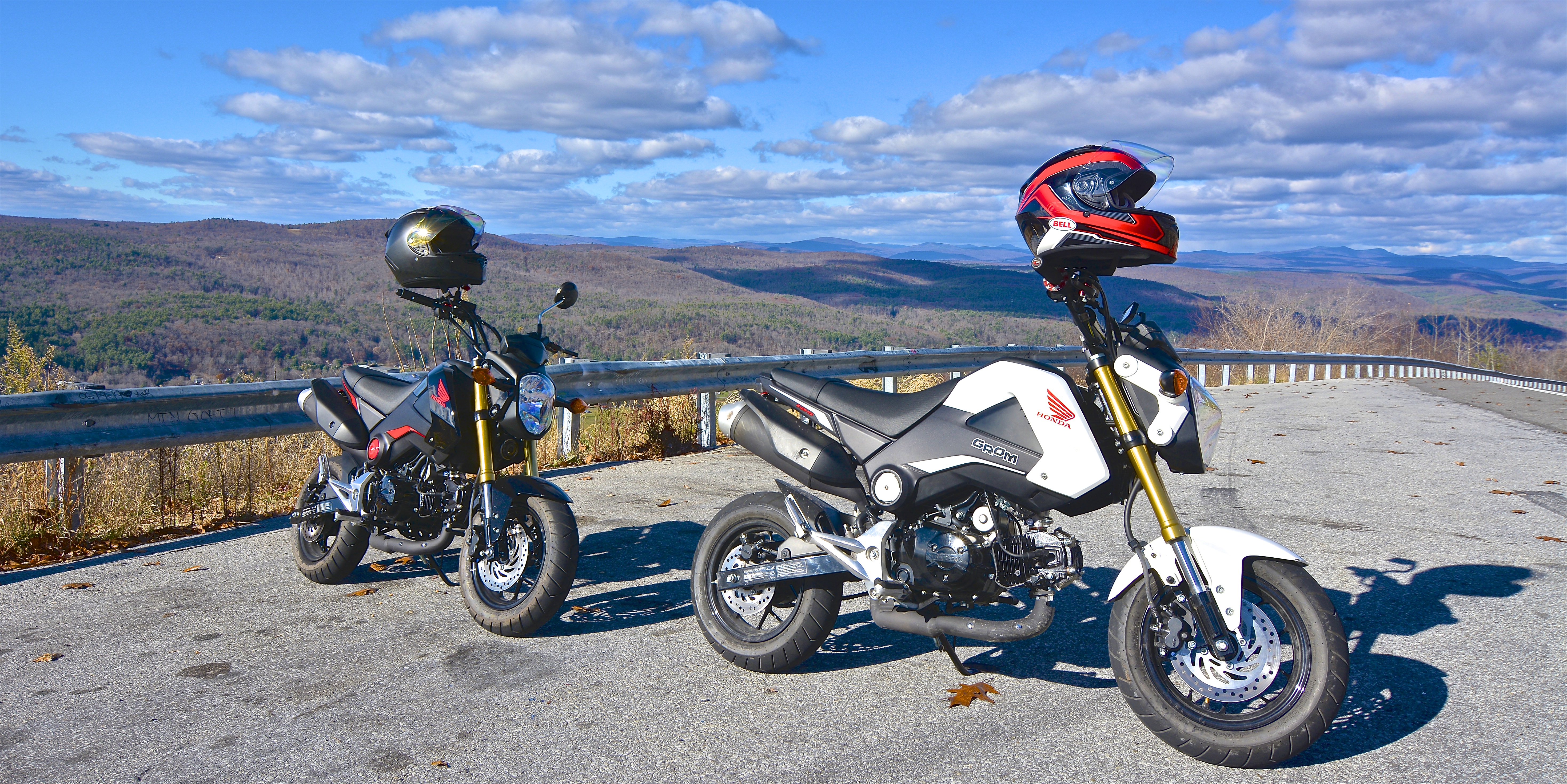
Attack of the GROMS
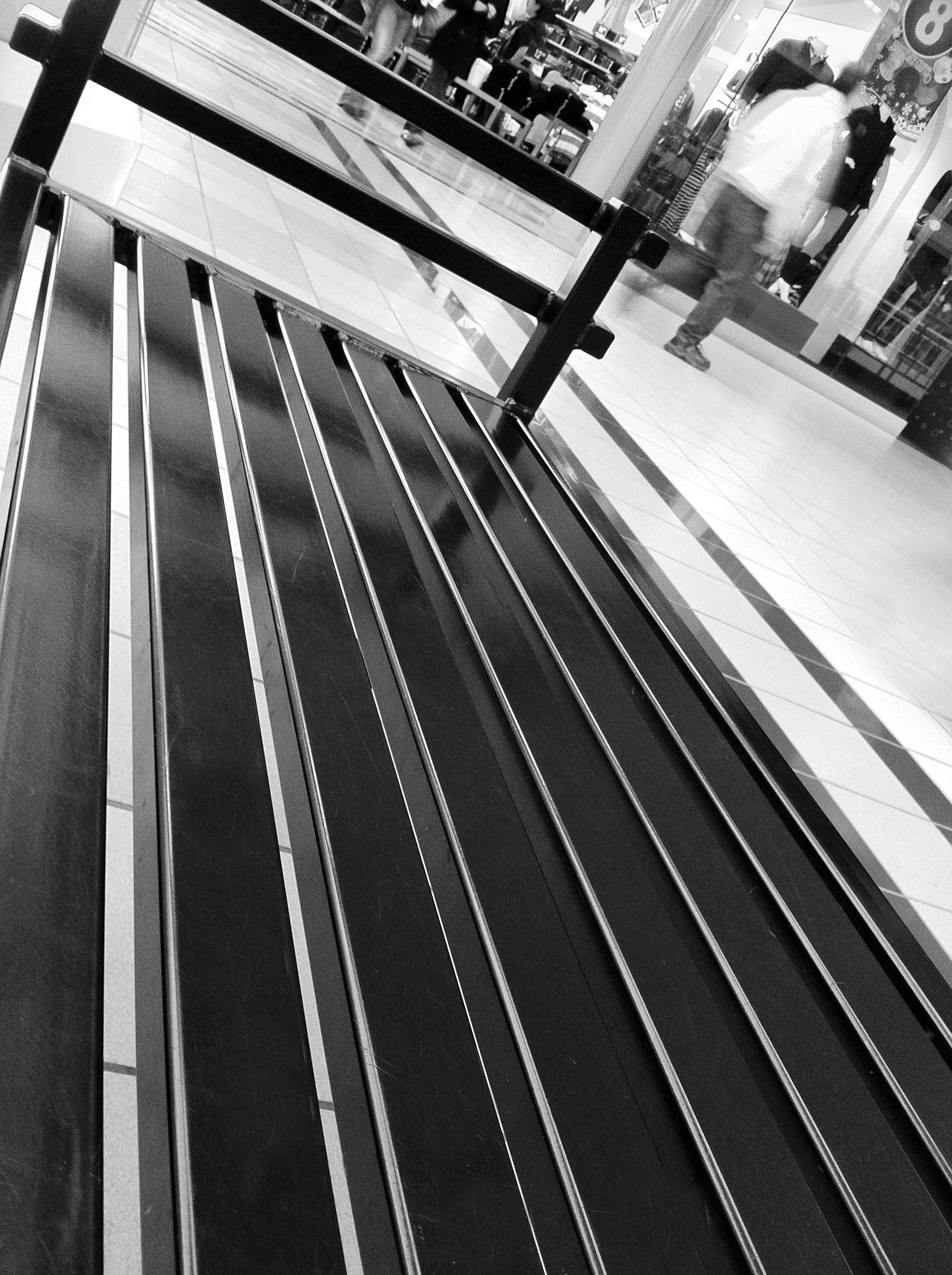
Walking By The Bench
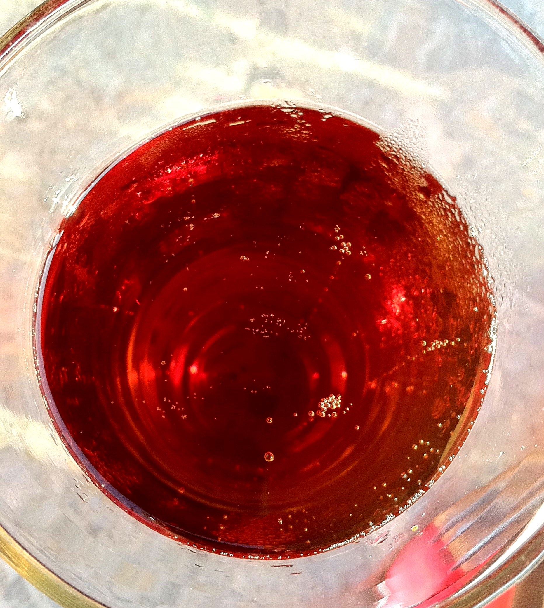
Octoberfest Bubbles
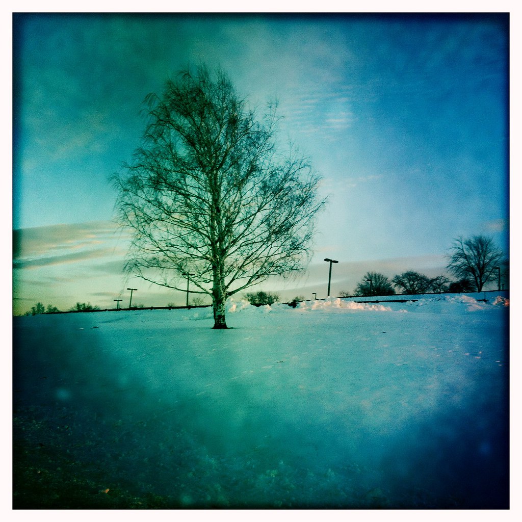
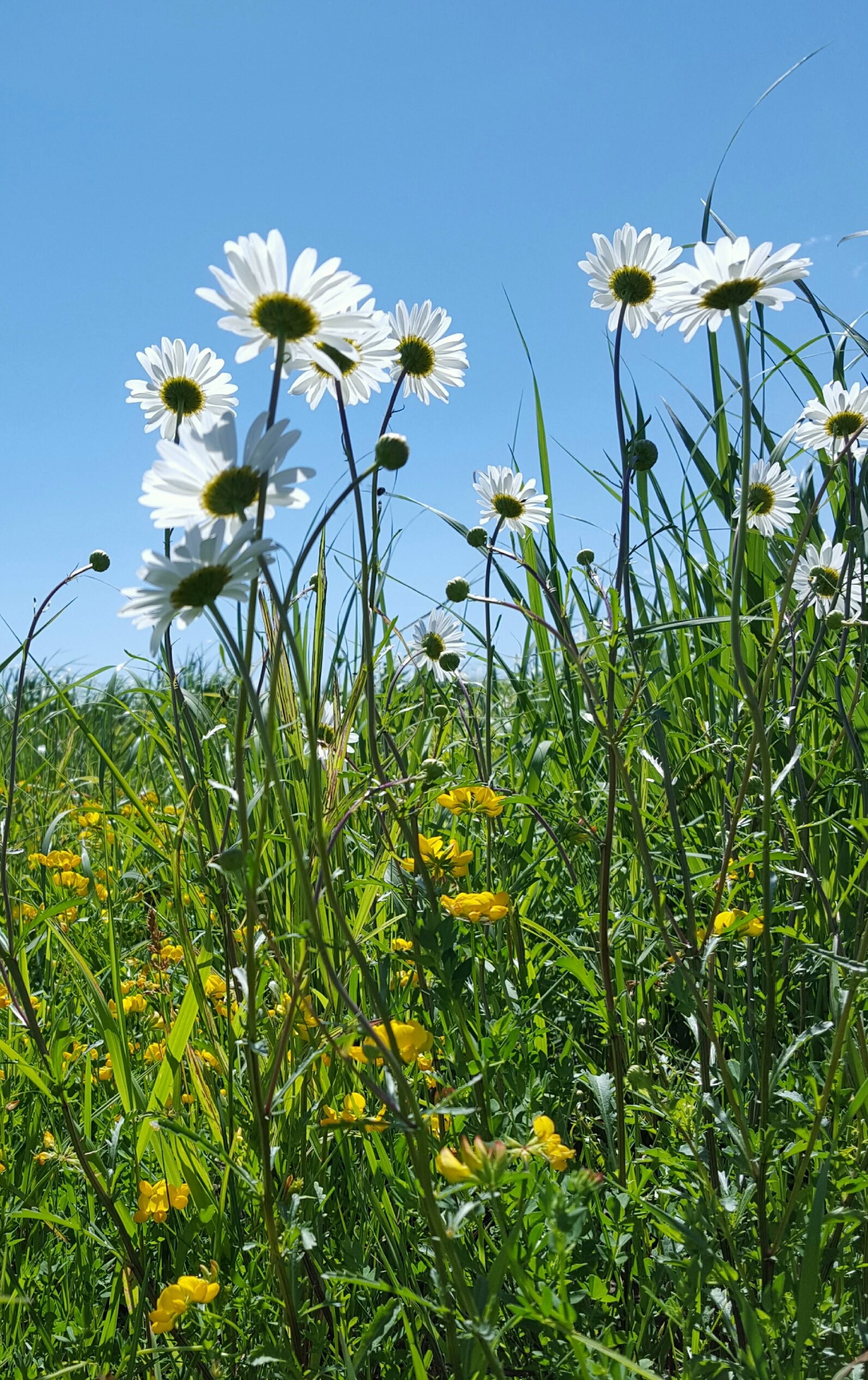
Looking Out

Me at the Wurtsboro Portal
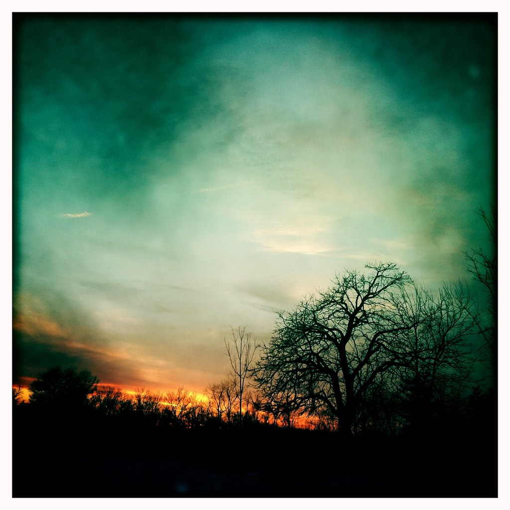
Mountain Sunset
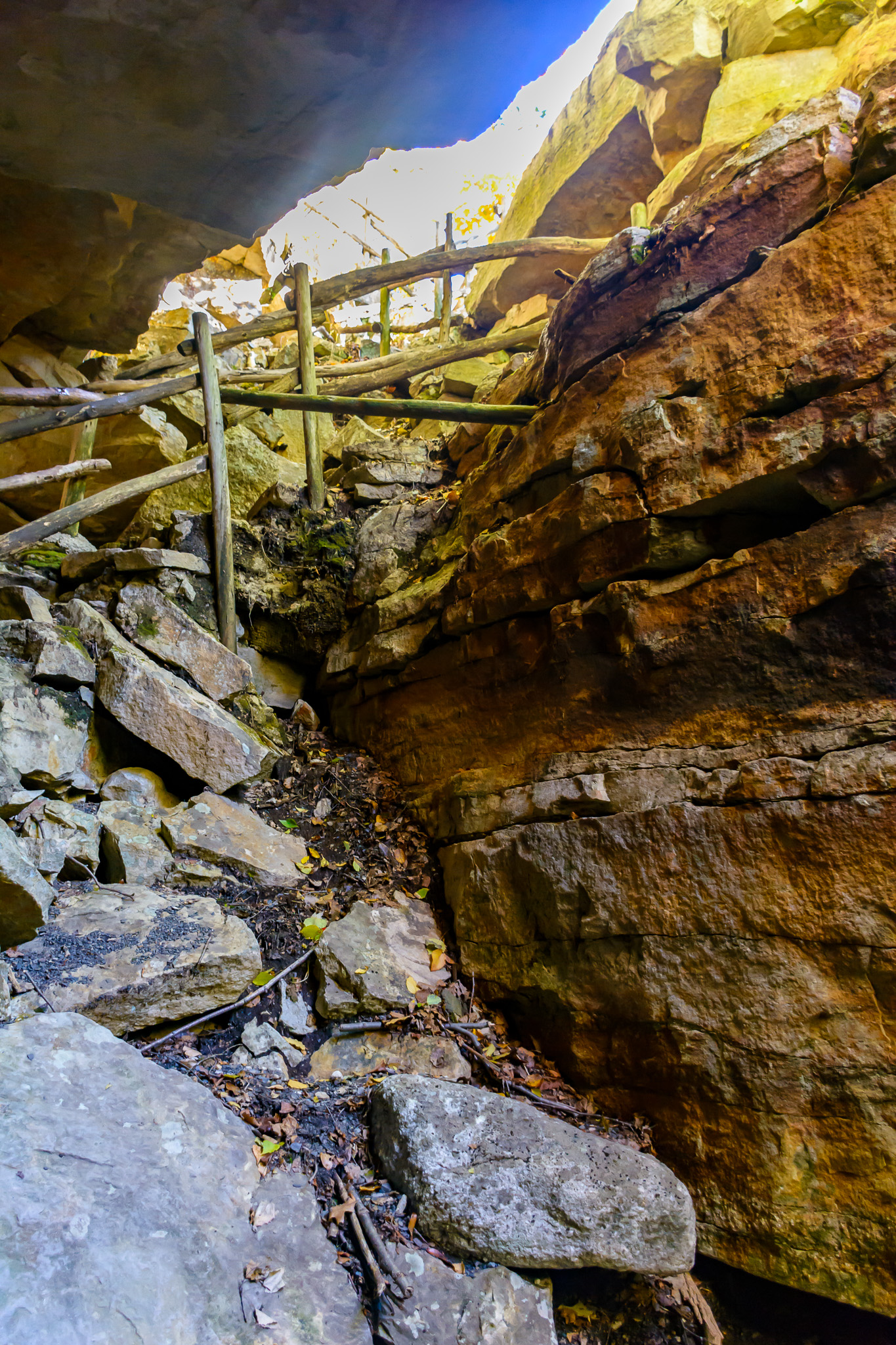
Slot Perspective
Remnants of an Abandoned Railroad
Rider-Ericsson Engine Company 3
Rock Window View
Fish eye 1
Circleville Park
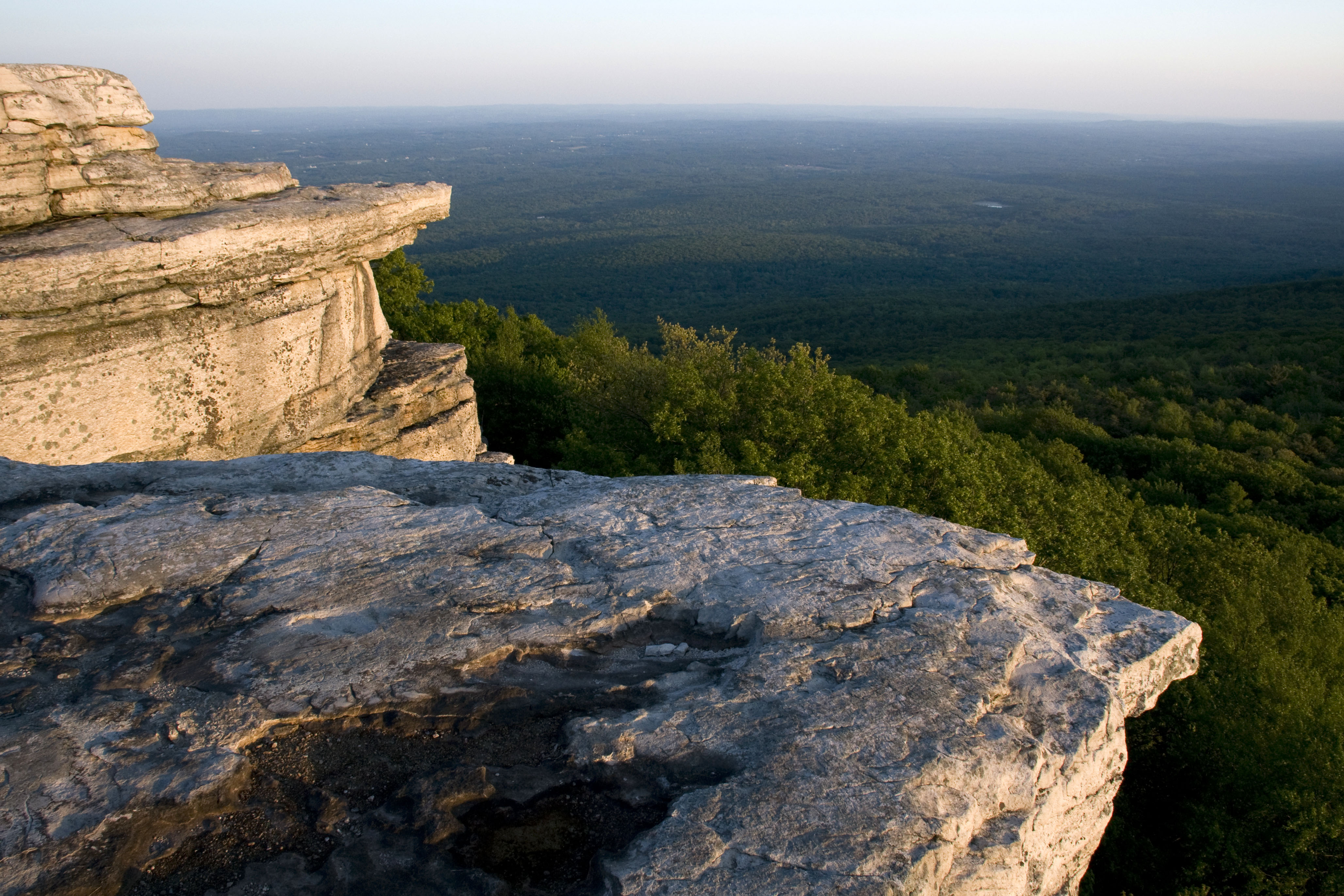
Sam's Point

wild deers

6/5/13 Twilight Clouds
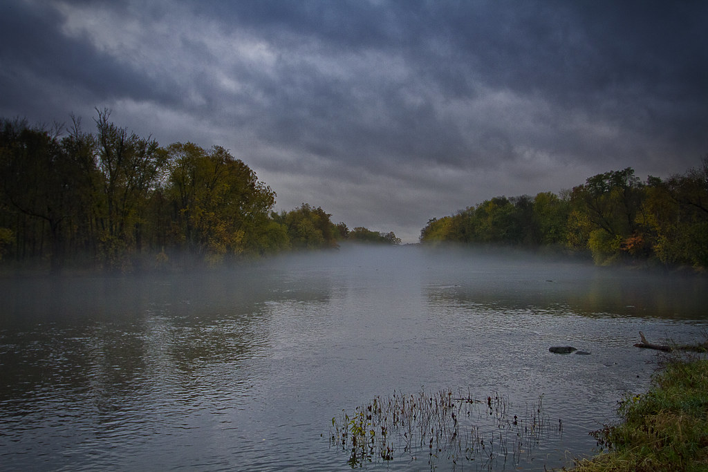
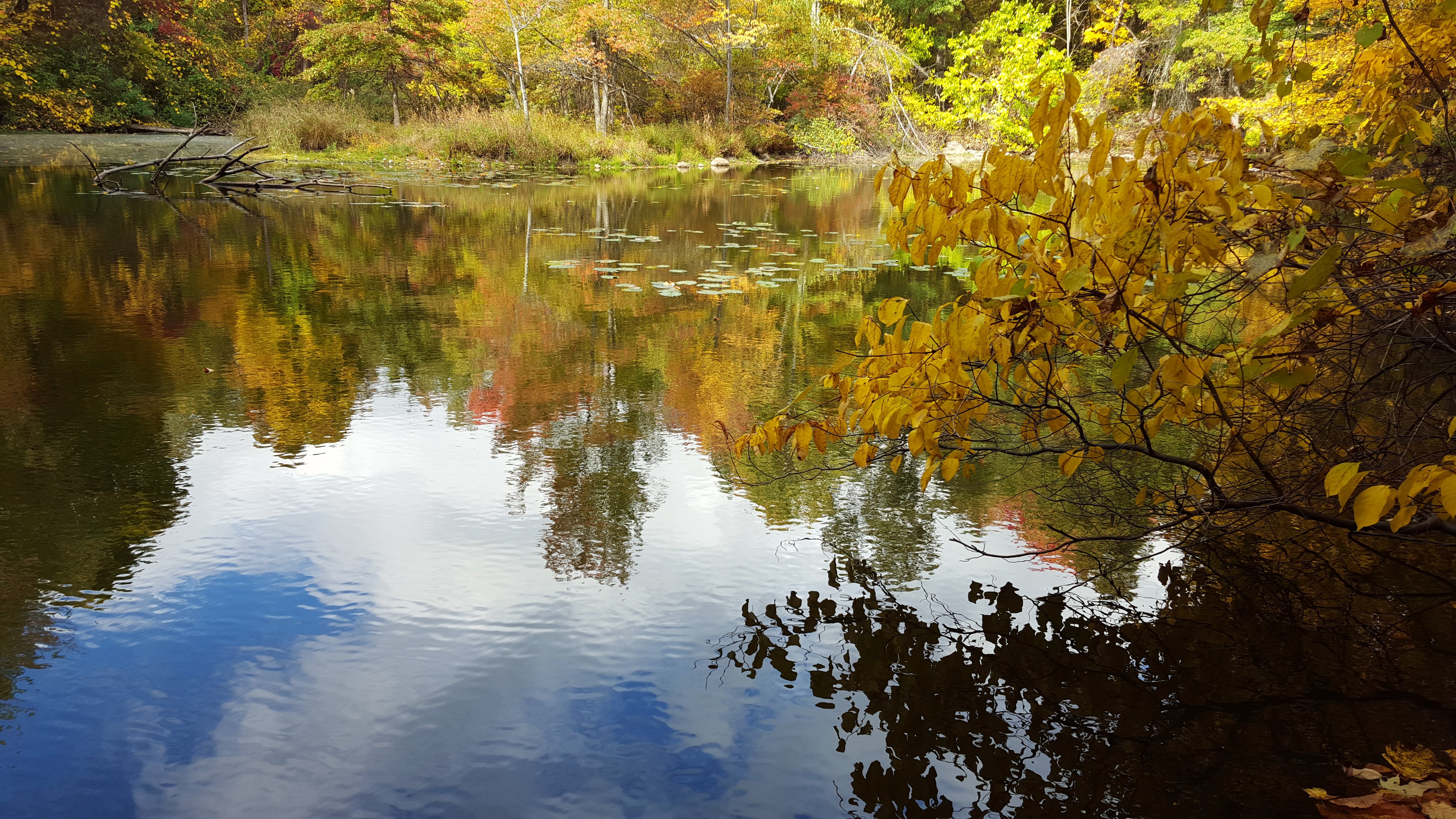
Foggy Fall Wallkill River
Samspoint 2760 (2)
Samspointae 3005
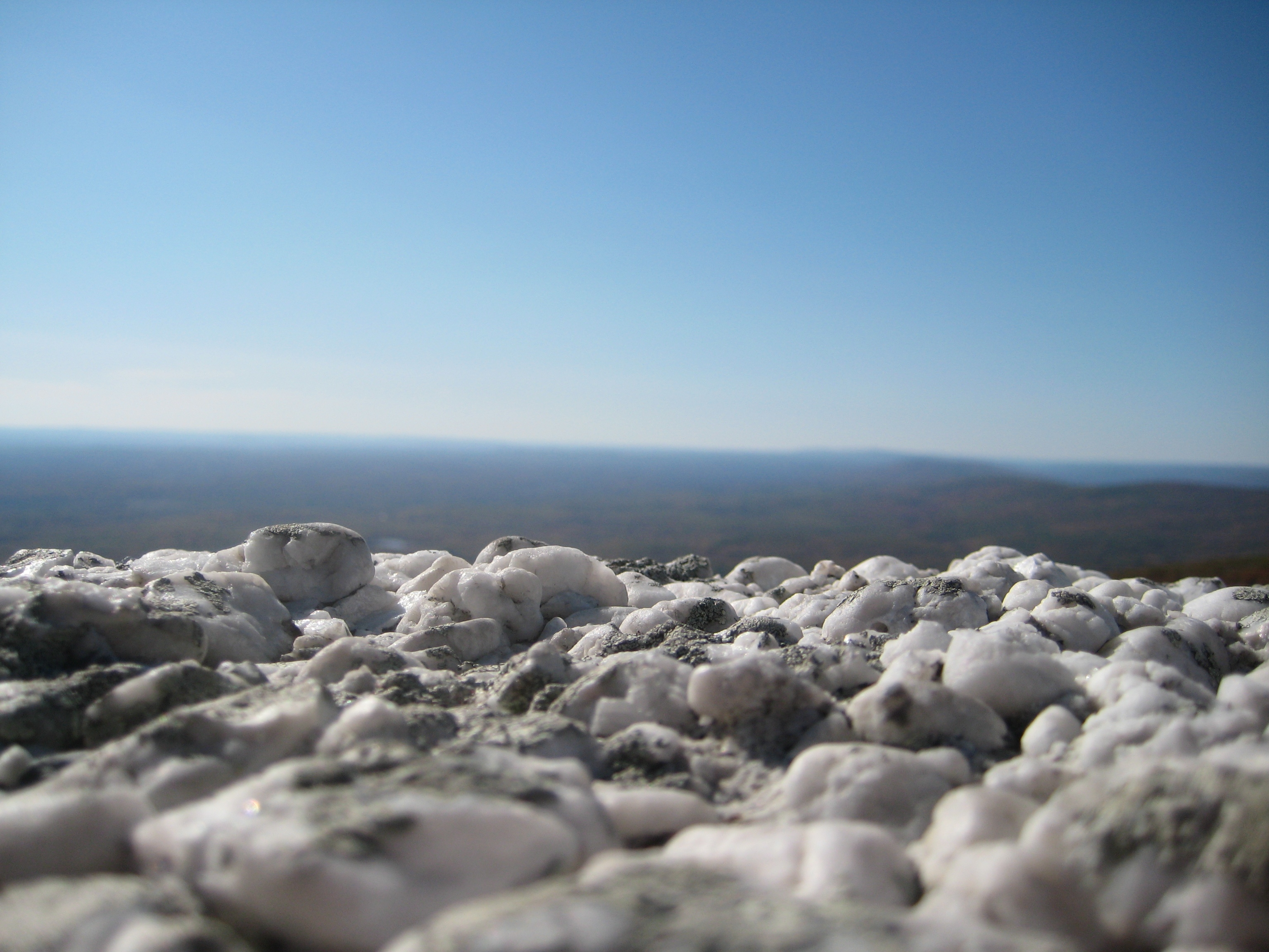
Ice Caves #2
1/4/13 OC Park
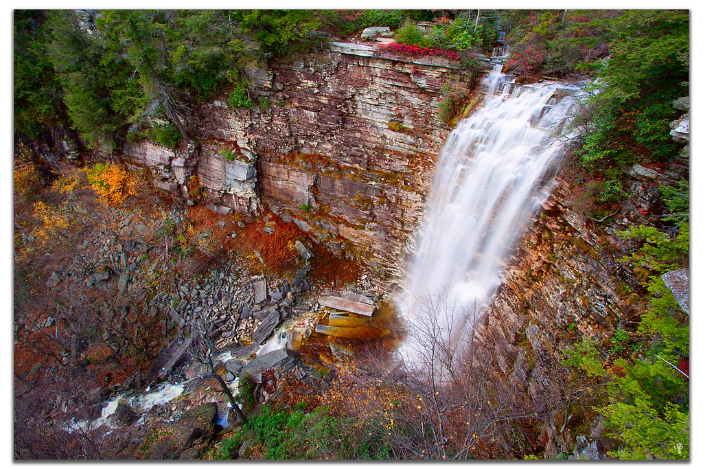
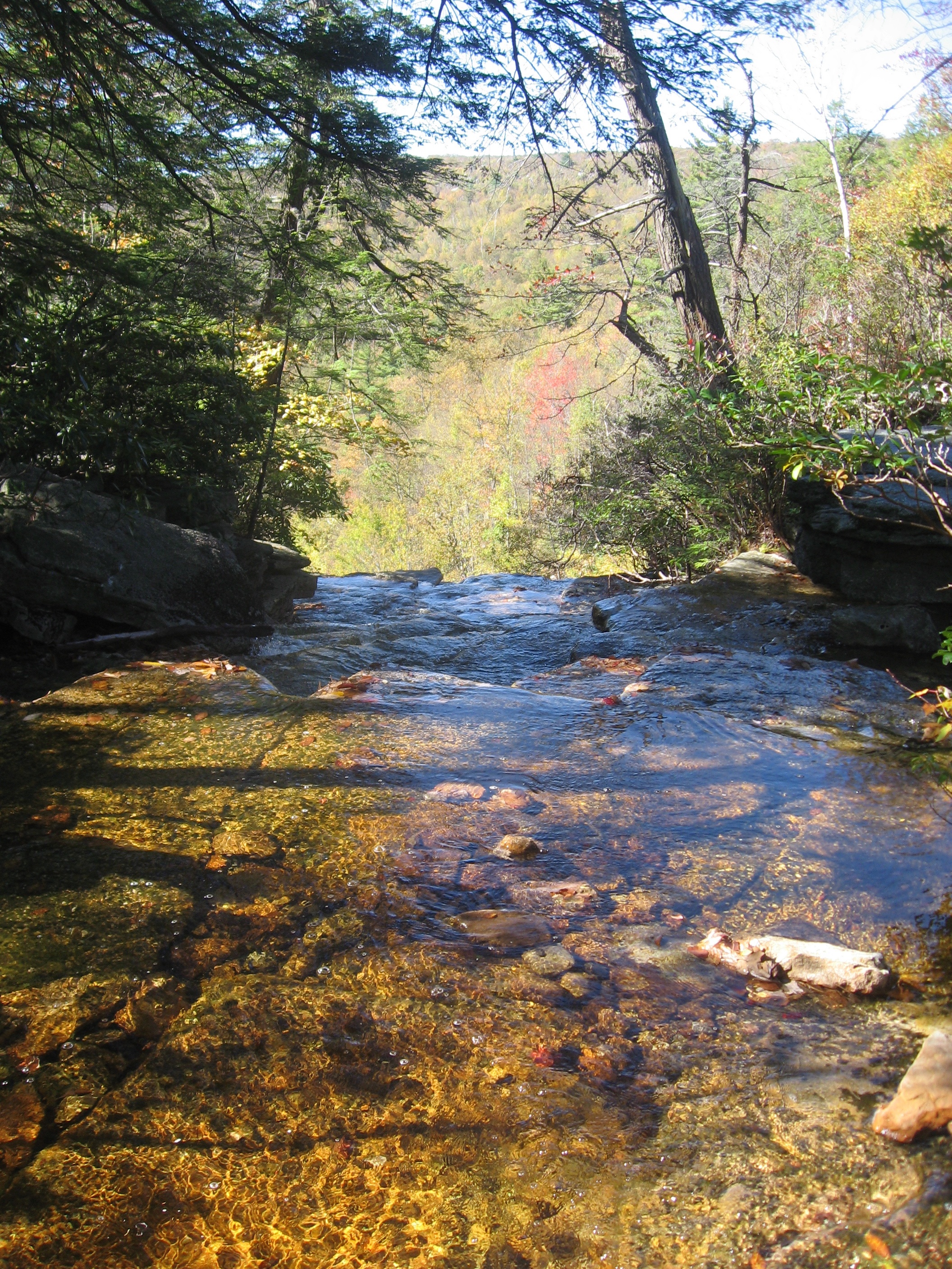
VerKeerderkill Falls
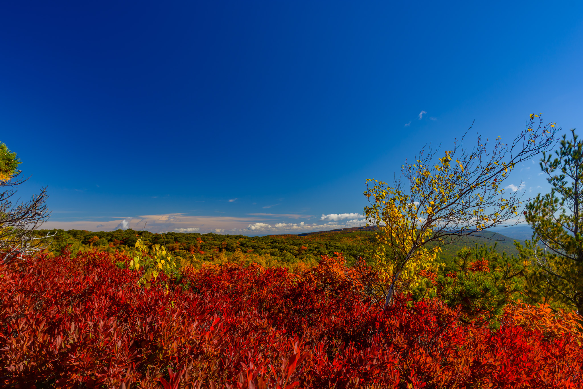
Huckleberrys In Bloom
2016-06-13_08-27-32
1/8/13 Sky on fire
Stewart State Forest

9/26/13 Weezer sunrise
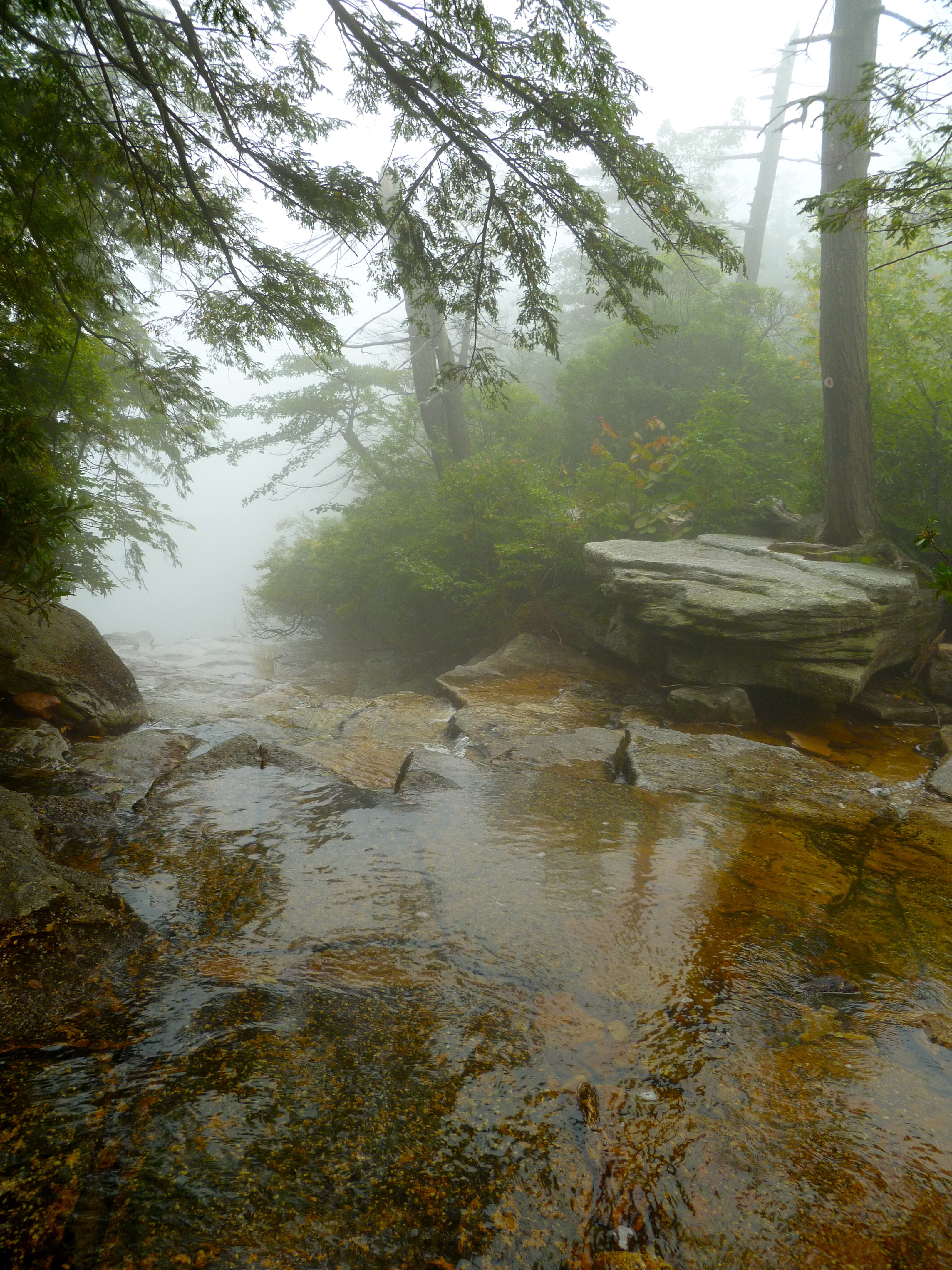
Falls Edge
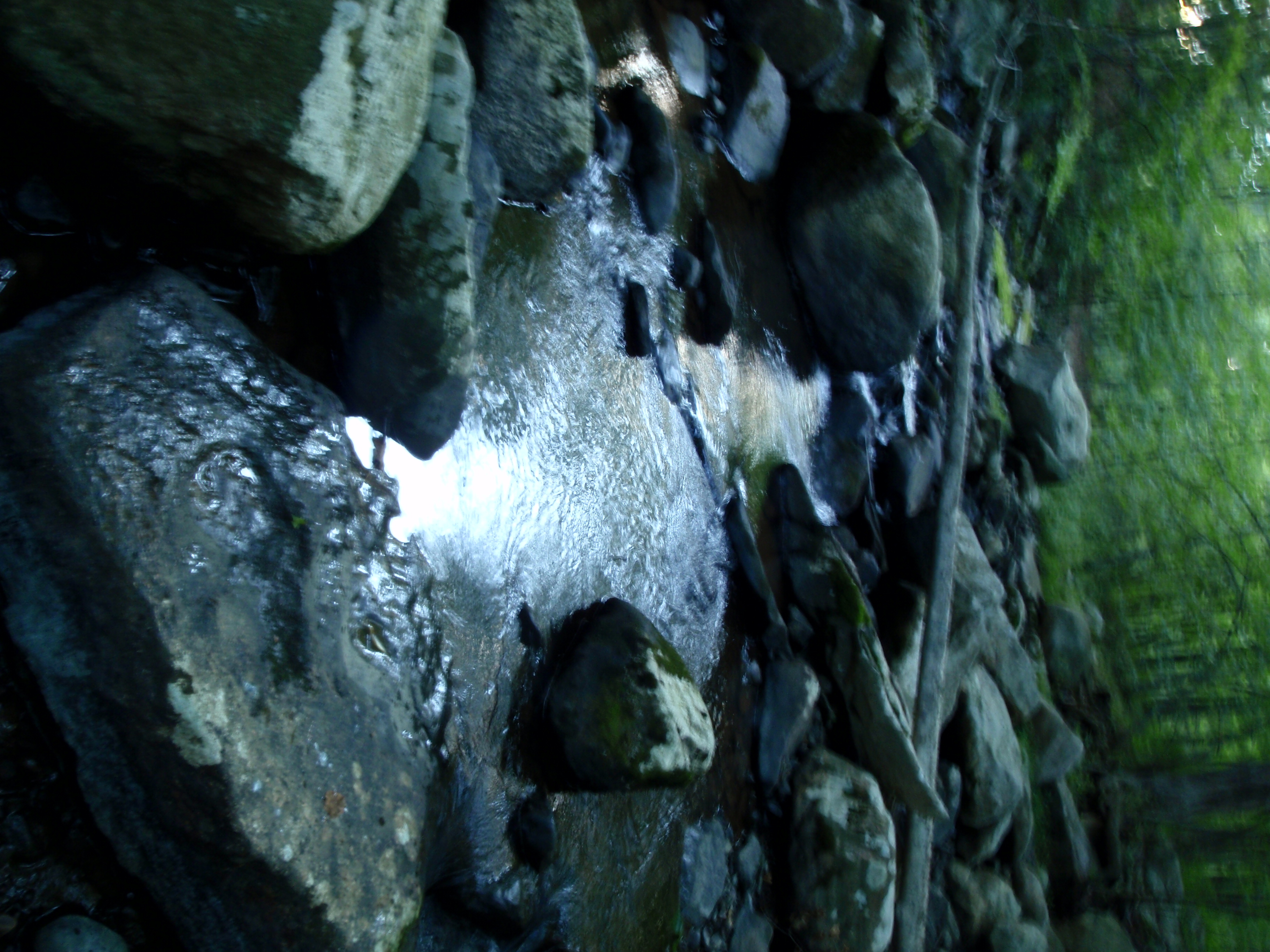
The Creek by the Cabin
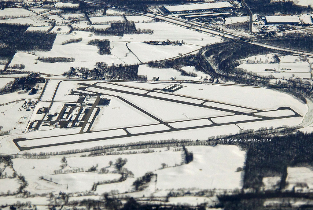
Orange County Airport (KMGJ/MGJ) - Mongomery, New York, USA
Top of Falls
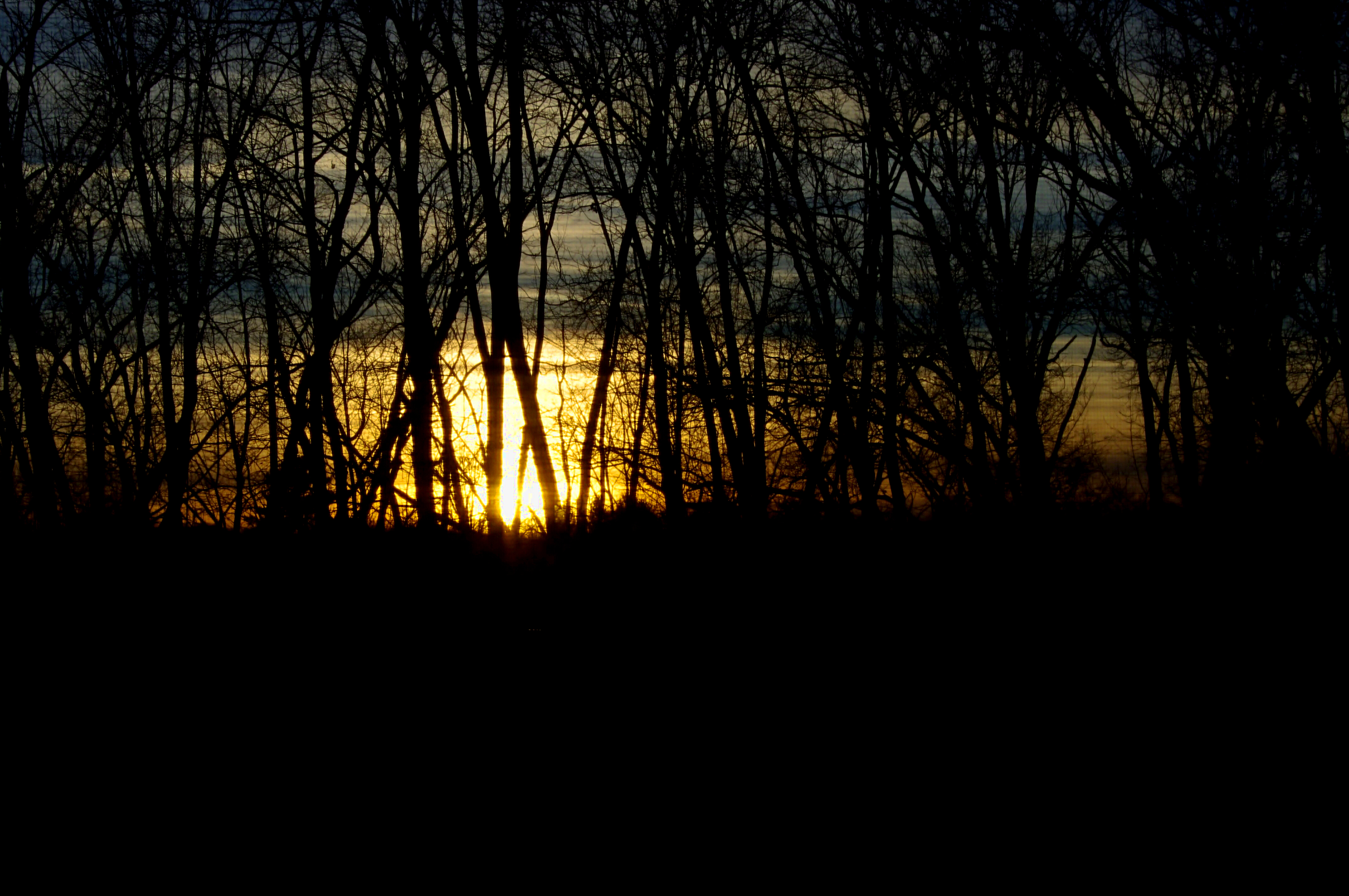
A Setting Sun
Topographic Map of County Rte 17, Tuxedo Park, NY, USA
Find elevation by address:

Places near County Rte 17, Tuxedo Park, NY, USA:
Crawford
90 Meadowood Rd
9 Chestnut Ln
830 Ny-302
154 Comfort Trail
931 Scotchtown Collabar Rd
Pine Bush
Thompson Ridge, NY, USA
Burlingham Rd, Pine Bush, NY, USA
646 Lybolt Rd
Bullville
Bullville, NY, USA
South Kaisertown Road
158 Pleasant Ave
Pine Bush, NY, USA
3360 New Prospect Rd
22 Dunn Rd
Willow Hill Farm Inc
130 Dunthorne Dr
3 Hamilton Rd, Pine Bush, NY, USA
Recent Searches:
- Elevation of SW 57th Ave, Portland, OR, USA
- Elevation of Crocker Dr, Vacaville, CA, USA
- Elevation of Pu Ngaol Community Meeting Hall, HWHM+3X7, Krong Saen Monourom, Cambodia
- Elevation of Royal Ontario Museum, Queens Park, Toronto, ON M5S 2C6, Canada
- Elevation of Groblershoop, South Africa
- Elevation of Power Generation Enterprises | Industrial Diesel Generators, Oak Ave, Canyon Country, CA, USA
- Elevation of Chesaw Rd, Oroville, WA, USA
- Elevation of N, Mt Pleasant, UT, USA
- Elevation of 6 Rue Jules Ferry, Beausoleil, France
- Elevation of Sattva Horizon, 4JC6+G9P, Vinayak Nagar, Kattigenahalli, Bengaluru, Karnataka, India