Elevation of County Road, Co Rd, Watkins Township, MO, USA
Location: United States > Missouri > Dent County > Watkins Township > Lenox >
Longitude: -91.773612
Latitude: 37.6275417
Elevation: 392m / 1286feet
Barometric Pressure: 97KPa
Elevation Map:
Satellite Map:
Related Photos:

Barnitz Prong, Dent County (Mo.), 15 November 2014

Miami Mist

Deptford Pink

Barnitz Prong, Dent County (Mo.), 15 November 2014

LICKING.

LICKING.

Michael Jones - Chores never stop

American Germander

Bugs on Sneezeweed

Common Buckeye

Horse Nettle

Mydas Fly

Old Barn

Turkey Feather

Pencil Flower

Cardinal Flower

Cardinal Flower

Yellow Bear Caterpillar
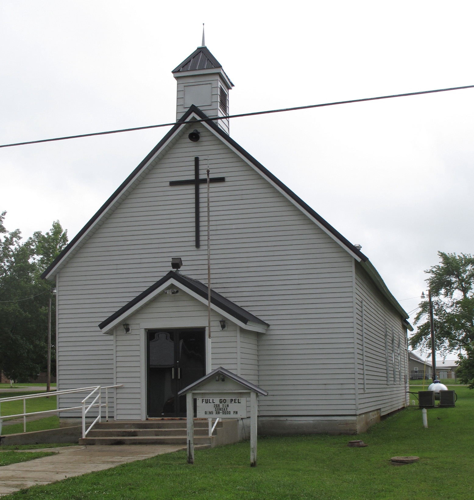
Edgar Springs Full Gospel Church, Edgar Springs (Mo.), 7 July 2015

Edgar Springs (Mo.), 7 July 2015

Victory by Faith Fellowship, Edgar Springs (Mo.), 7 July 2015
Topographic Map of County Road, Co Rd, Watkins Township, MO, USA
Find elevation by address:

Places near County Road, Co Rd, Watkins Township, MO, USA:
Lenox
15722 State Hwy C
County Road 233
Watkins Township
Kimble Rd, Licking, MO, USA
33255 Co Rd 6330
Texas Township
MO-32, Salem, MO, USA
MO-32, Salem, MO, USA
Broadway St, Edgar Springs, MO, USA
12575 Kitchem Dr
Sherrill Township
18918 Mo-32
18918 Mo-32
228 Mo-32
Licking
State Hwy O, Rolla, MO, USA
4103 Mo-32
Missouri 32
Spring Creek Township
Recent Searches:
- Elevation of Congressional Dr, Stevensville, MD, USA
- Elevation of Bellview Rd, McLean, VA, USA
- Elevation of Stage Island Rd, Chatham, MA, USA
- Elevation of Shibuya Scramble Crossing, 21 Udagawacho, Shibuya City, Tokyo -, Japan
- Elevation of Jadagoniai, Kaunas District Municipality, Lithuania
- Elevation of Pagonija rock, Kranto 7-oji g. 8"N, Kaunas, Lithuania
- Elevation of Co Rd 87, Jamestown, CO, USA
- Elevation of Tenjo, Cundinamarca, Colombia
- Elevation of Côte-des-Neiges, Montreal, QC H4A 3J6, Canada
- Elevation of Bobcat Dr, Helena, MT, USA