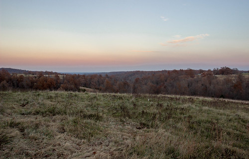
Elevation of County Road, Co Rd, Gainesville, MO, USA
Location: United States > Missouri > Ozark County > Bridges Township >
Longitude: -92.443279
Latitude: 36.5348692
Elevation: 312m / 1024feet
Barometric Pressure: 98KPa
Related Photos:
Topographic Map of County Road, Co Rd, Gainesville, MO, USA
Find elevation by address:

Places near County Road, Co Rd, Gainesville, MO, USA:
Cabin Mill Trail
Cabin Mill Trail
Logan Township
West Bridges Township
County Rd 5, Mountain Home, AR, USA
Clarkridge
45 Co Rd, Clarkridge, AR, USA
3981 Promise Land Rd
Pigeon Township
Co Rd 13, Midway, AR, USA
285 Buff Rd
189 High Ridge Cir
AR-5, Midway, AR, USA
Midway
Grover Township
Jasper Township
County Road 12
204 Elizabeth Dr
144 Elizabeth Dr
407 Co Rd 25
Recent Searches:
- Elevation of 6 Rue Jules Ferry, Beausoleil, France
- Elevation of Sattva Horizon, 4JC6+G9P, Vinayak Nagar, Kattigenahalli, Bengaluru, Karnataka, India
- Elevation of Great Brook Sports, Gold Star Hwy, Groton, CT, USA
- Elevation of 10 Mountain Laurels Dr, Nashua, NH, USA
- Elevation of 16 Gilboa Ln, Nashua, NH, USA
- Elevation of Laurel Rd, Townsend, TN, USA
- Elevation of 3 Nestling Wood Dr, Long Valley, NJ, USA
- Elevation of Ilungu, Tanzania
- Elevation of Yellow Springs Road, Yellow Springs Rd, Chester Springs, PA, USA
- Elevation of Rēzekne Municipality, Latvia


