Elevation of County Rd W, Lynnville, IN, USA
Location: United States > Indiana > Warrick County > Hart Township > Lynnville >
Longitude: -87.271334
Latitude: 38.212618
Elevation: 181m / 594feet
Barometric Pressure: 99KPa
Elevation Map:
Satellite Map:
Related Photos:
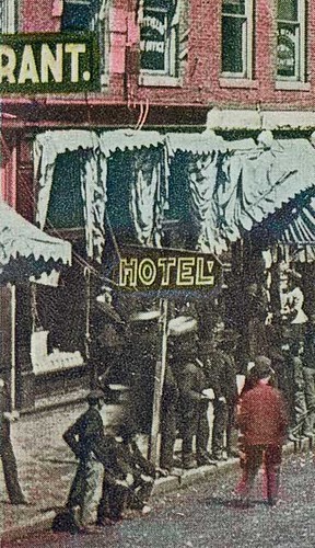
Saturday in Oakland City, Indiana, close-up section 1
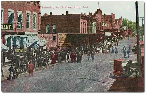
Saturday in Oakland City, Indiana
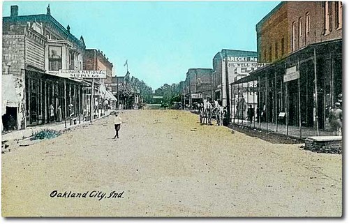
Main Street looking north, Oakland City, Indiana
Saturday in Oakland City, Indiana, close-up section 2
Reaching For A Piece Of The Sun... (We all reach for that star sometimes)

Wings in the Sun

Wings In Motion
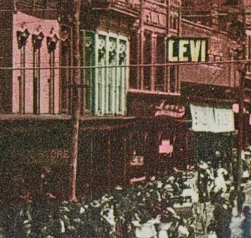
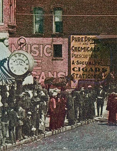
Saturday in Oakland City, Indiana, close-up section 3
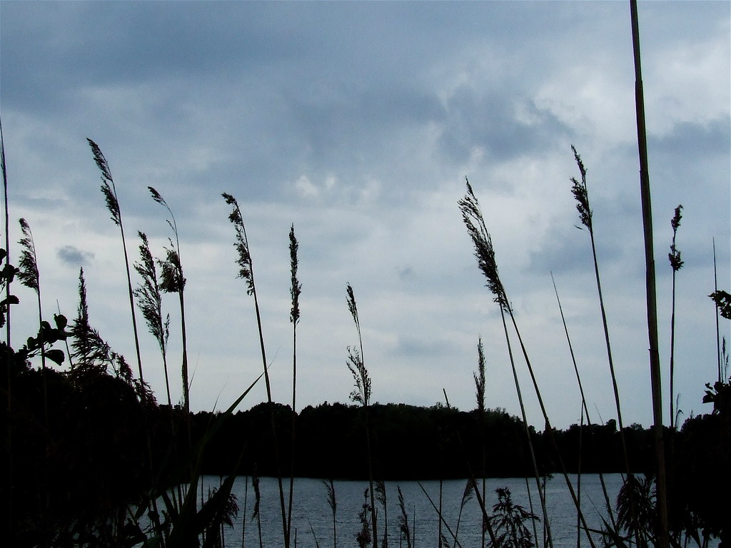
A Beautiful View, On A Cloudy Day

"If You Like Piña Coladas And...."

That's A Big Straw!!

Worse For Wear... (A Reprise)

An Impressionist's Dragonfly

Standing Stiff

Worse For Wear.....

A Soldier's Work Is Never Done

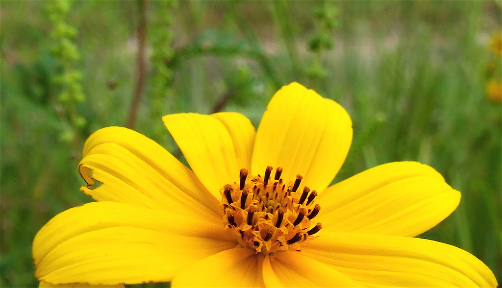
Bidens Aristosa

Wildflowers In Hoosier National Forest
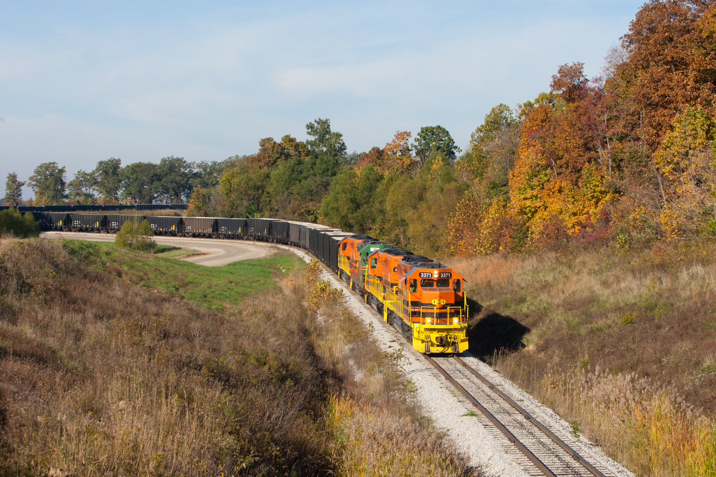
ISRR 3371 Somerville IN 23 Oct 2014b
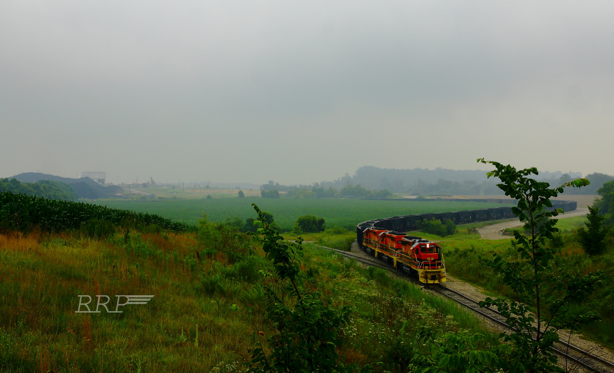
Warrick County Coal Surface Mining (Strip Mine)
ISRR 3371 Buckskin IN 24 Aug 2013

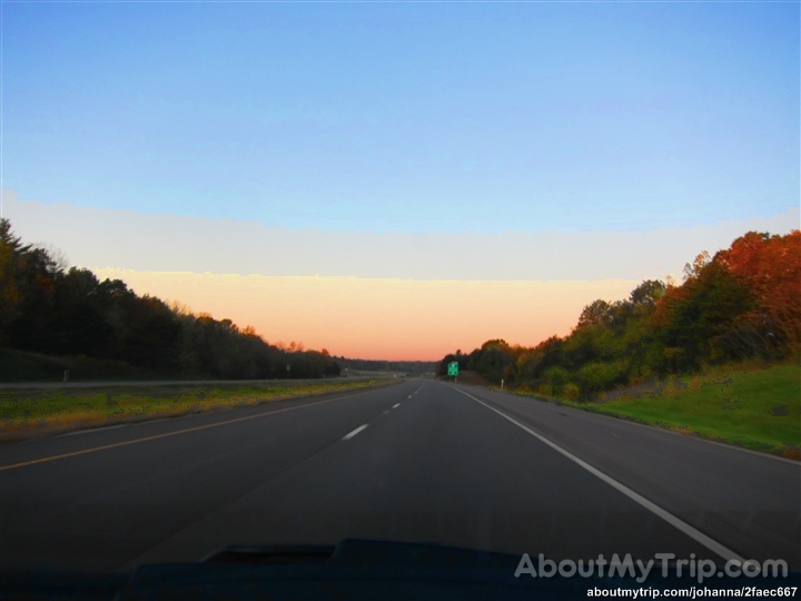
Another Indiana sunset
Coal Mine
ISRR 4039 Somerville IN 08 Oct 2006

My life❤️ these boys, and a few of me and my family.
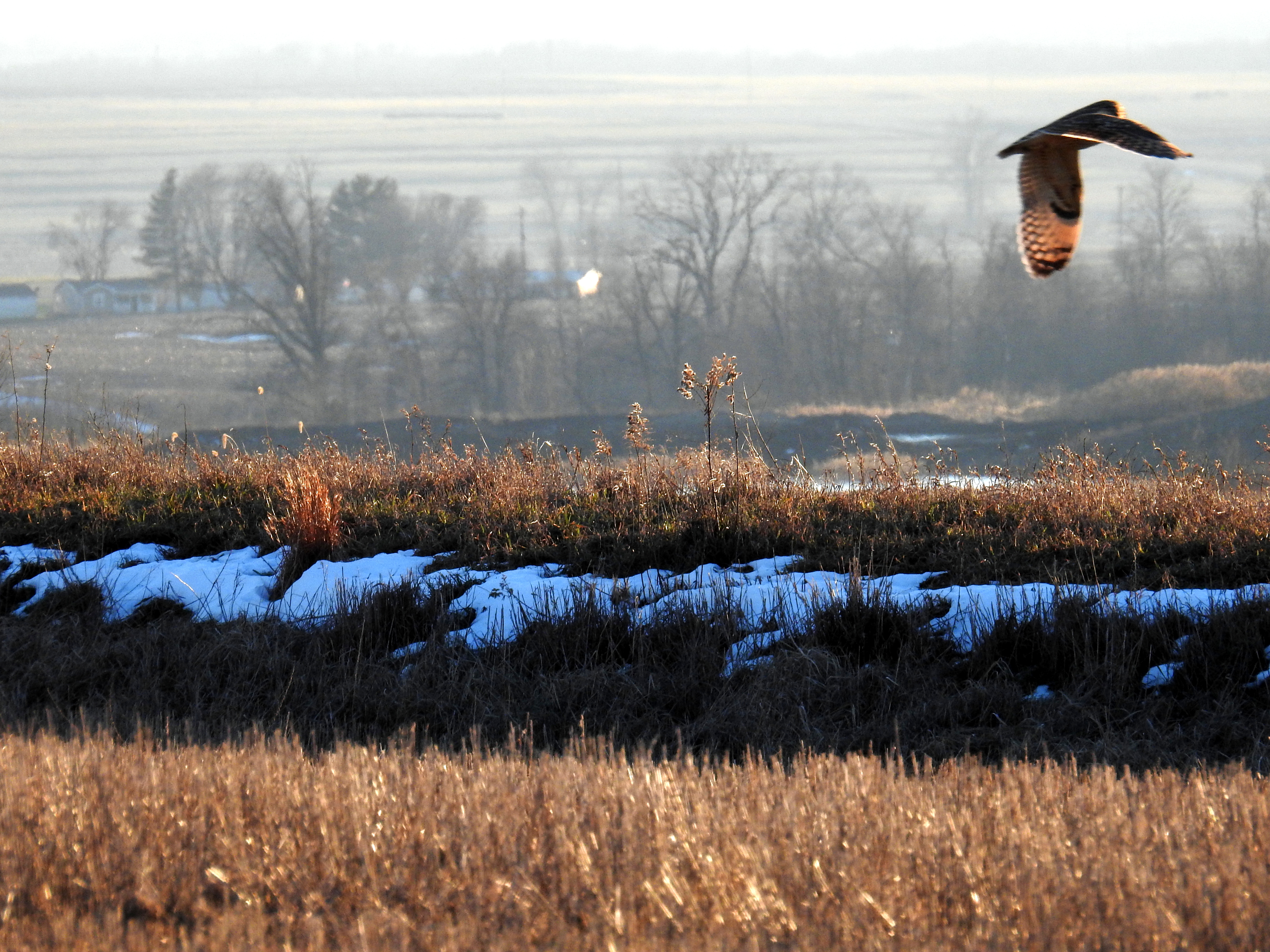
Short-eared Owl 1-14-2016 by Tom Becker
No Matter What
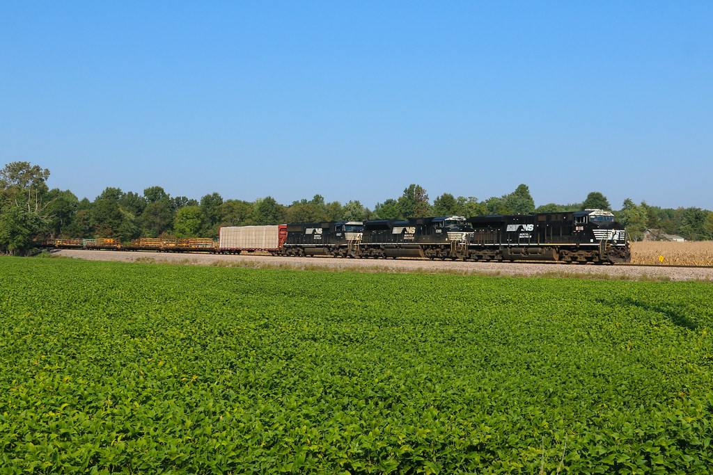
NS 319, Oakland City, IN 9/24/2016
Indiana, Warrick County
Topographic Map of County Rd W, Lynnville, IN, USA
Find elevation by address:

Places near County Rd W, Lynnville, IN, USA:
13200 County Rd 150 W
2344 In-68
Lynnville
Hart Township
Fredonia St, Spurgeon, IN, USA
Spurgeon
Monroe Township
IN-68, Lynnville, IN, USA
IN-61, Boonville, IN, USA
IN-61, Oakland City, IN, USA
Lane Township
IN-61, Oakland City, IN, USA
Weyerbacher Rd, Elberfeld, IN, USA
Owen Township
Owen Township
Owen Township
Owen Township
Owen Township
Owen Township
Owen Township
Recent Searches:
- Elevation of Vista Blvd, Sparks, NV, USA
- Elevation of 15th Ave SE, St. Petersburg, FL, USA
- Elevation of Beall Road, Beall Rd, Florida, USA
- Elevation of Leguwa, Nepal
- Elevation of County Rd, Enterprise, AL, USA
- Elevation of Kolchuginsky District, Vladimir Oblast, Russia
- Elevation of Shustino, Vladimir Oblast, Russia
- Elevation of Lampiasi St, Sarasota, FL, USA
- Elevation of Elwyn Dr, Roanoke Rapids, NC, USA
- Elevation of Congressional Dr, Stevensville, MD, USA