Elevation of County Rd, Orange, TX, USA
Location: United States > Texas > Orange County > Orange >
Longitude: -93.871594
Latitude: 30.2540239
Elevation: 10m / 33feet
Barometric Pressure: 101KPa
Elevation Map:
Satellite Map:
Related Photos:
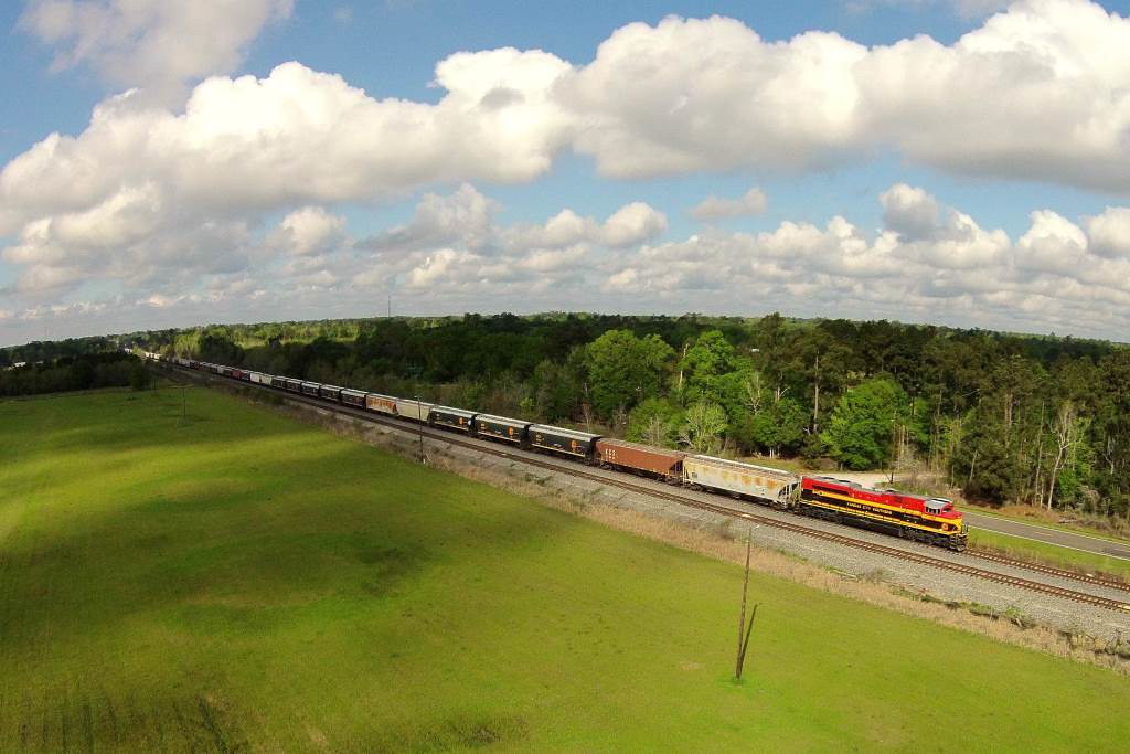
KCS GKCMX 22, Maruiceville, TX

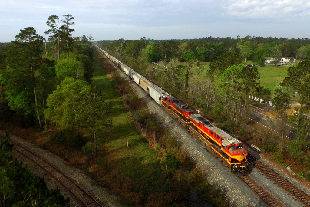
KCS IMXSH 27, Mauriceville, TX
KCS 2GBVKC 06, Lemonville, TX

from @tvlsquad_mo - @stephang996_tvl do the damn thing #docpheelgood_tvl #marlow_tvlsquad #tvlarmy #tvlnation #tvlsquad #tvldoublebarrelgiveaway #tvltakeover #eastcoastvapers #westcoastvapors #vapor #vaporgram #cloudchaser #vapenation #vapecommunity #va
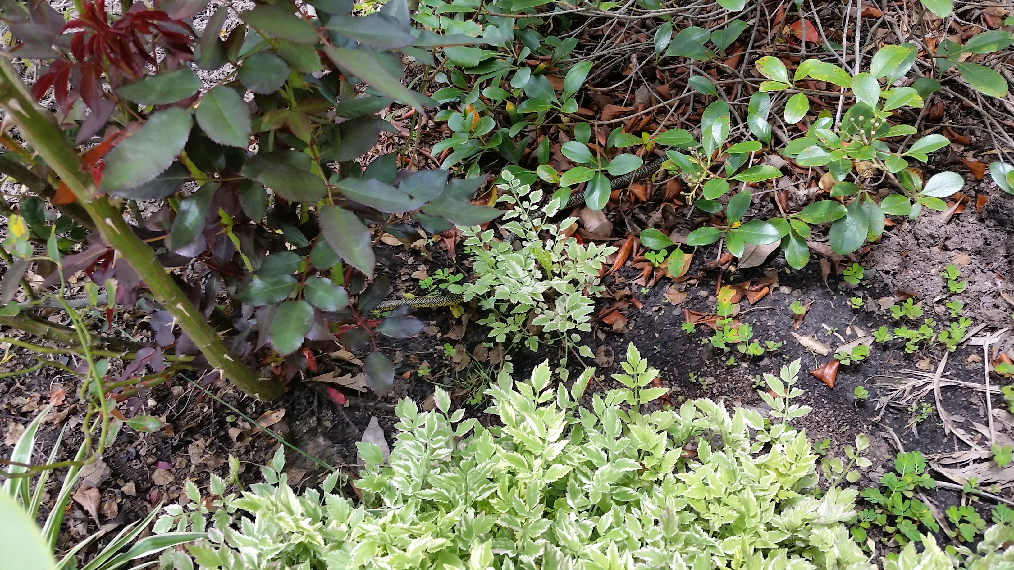
King Snake Hiding

KCS XWLRSH 13, Lemonville, TX
IMG_4314.CR2

My sweet little daughter and niece at Pappadeaux's. #pappadeaux

Sliding into first
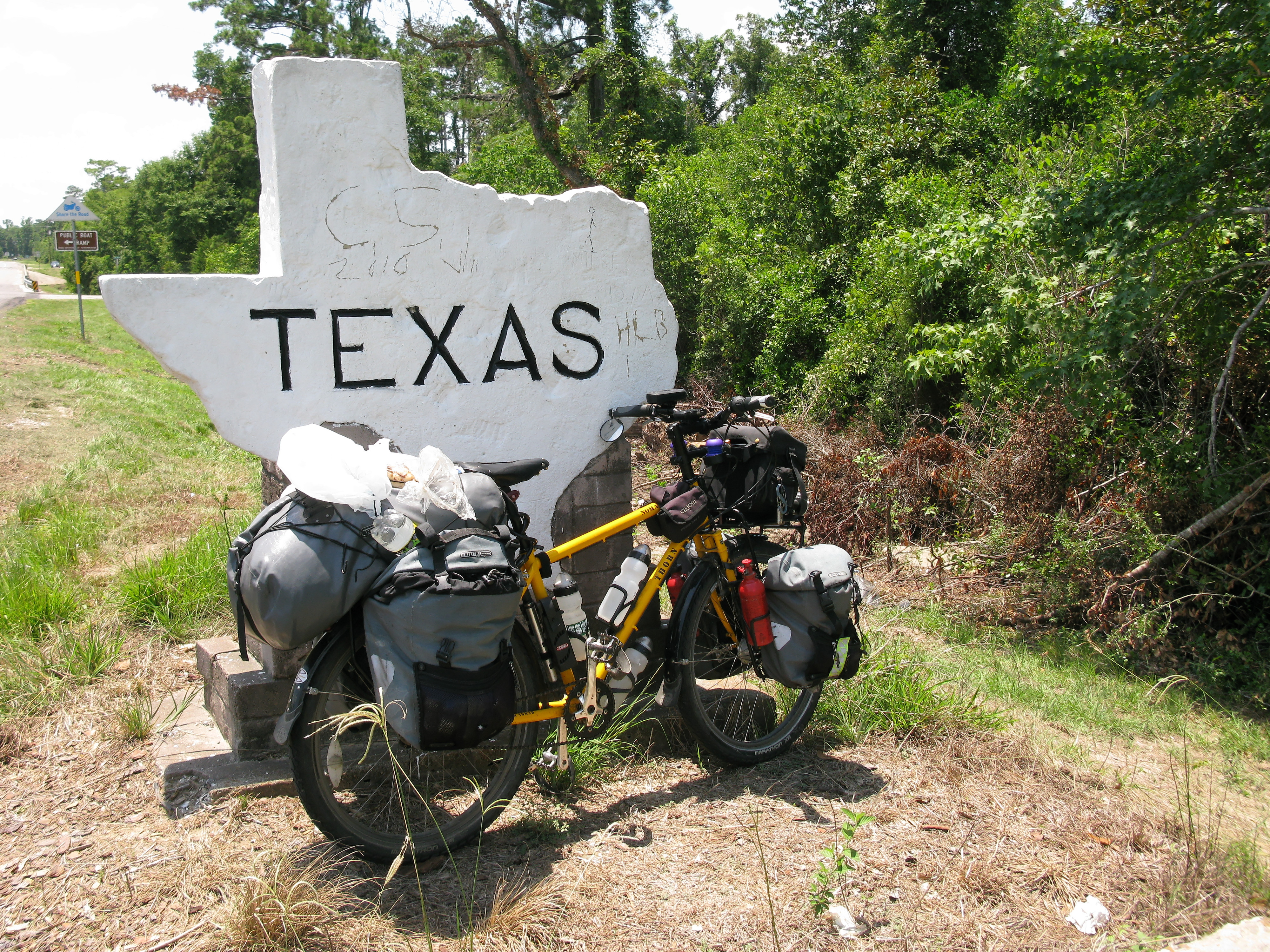
2012 road trip
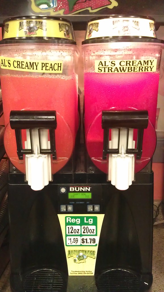
Does anyone want Als creamy peach?
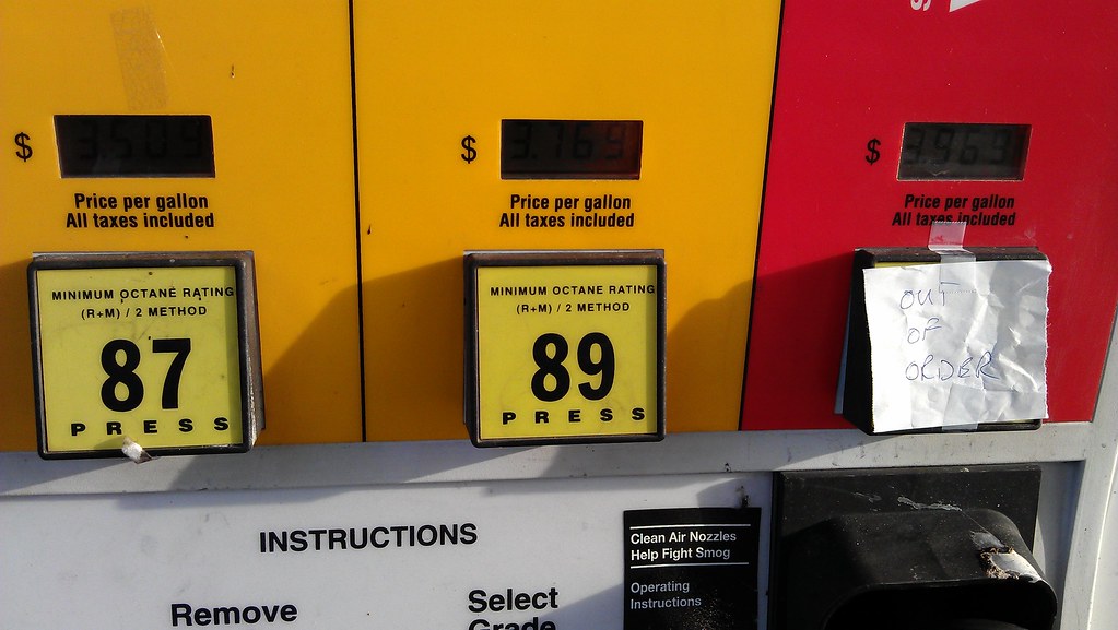
While we went in to pay a guy put out of order on 93 octane. Gotta find a different gas station.

Chevy for sale

Camera Roll-460

Camera Roll-459

Seeing my sister graduate was a highlight of my weekend. So was Sam. #corgi

#gotthetshirt
The stars at night..
Topographic Map of County Rd, Orange, TX, USA
Find elevation by address:

Places near County Rd, Orange, TX, USA:
422 County Rd 3140
County Road 3142
County Road 3139
County Road 3132
County Road 3149
County Road 3143
430 Co Rd 825
439 Co Rd 825
674 Co Rd 797
1913 Fm 105
County Road 894
4770 Co Rd 716
Evadale
U.S. 96 S, Buna, TX, USA
Old Evadale Rd, Silsbee, TX, USA
5441 Matthews Dr
Walmart Supercenter
Highway 96 North
112 Wilson Ln
9249 Village Creek Loop
Recent Searches:
- Elevation of Lumagwas Diversified Farmers Multi-Purpose Cooperative, Lumagwas, Adtuyon, RV32+MH7, Pangantucan, Bukidnon, Philippines
- Elevation of Homestead Ridge, New Braunfels, TX, USA
- Elevation of Orchard Road, Orchard Rd, Marlborough, NY, USA
- Elevation of 12 Hutchinson Woods Dr, Fletcher, NC, USA
- Elevation of Holloway Ave, San Francisco, CA, USA
- Elevation of Norfolk, NY, USA
- Elevation of - San Marcos Pass Rd, Santa Barbara, CA, USA
- Elevation of th Pl SE, Issaquah, WA, USA
- Elevation of 82- D Rd, Captain Cook, HI, USA
- Elevation of Harlow CM20 2PR, UK