Elevation of County Rd E, Sullivan, IL, USA
Location: United States > Illinois > Moultrie County > Whitley Township >
Longitude: -88.594602
Latitude: 39.5152258
Elevation: 197m / 646feet
Barometric Pressure: 99KPa
Elevation Map:
Satellite Map:
Related Photos:
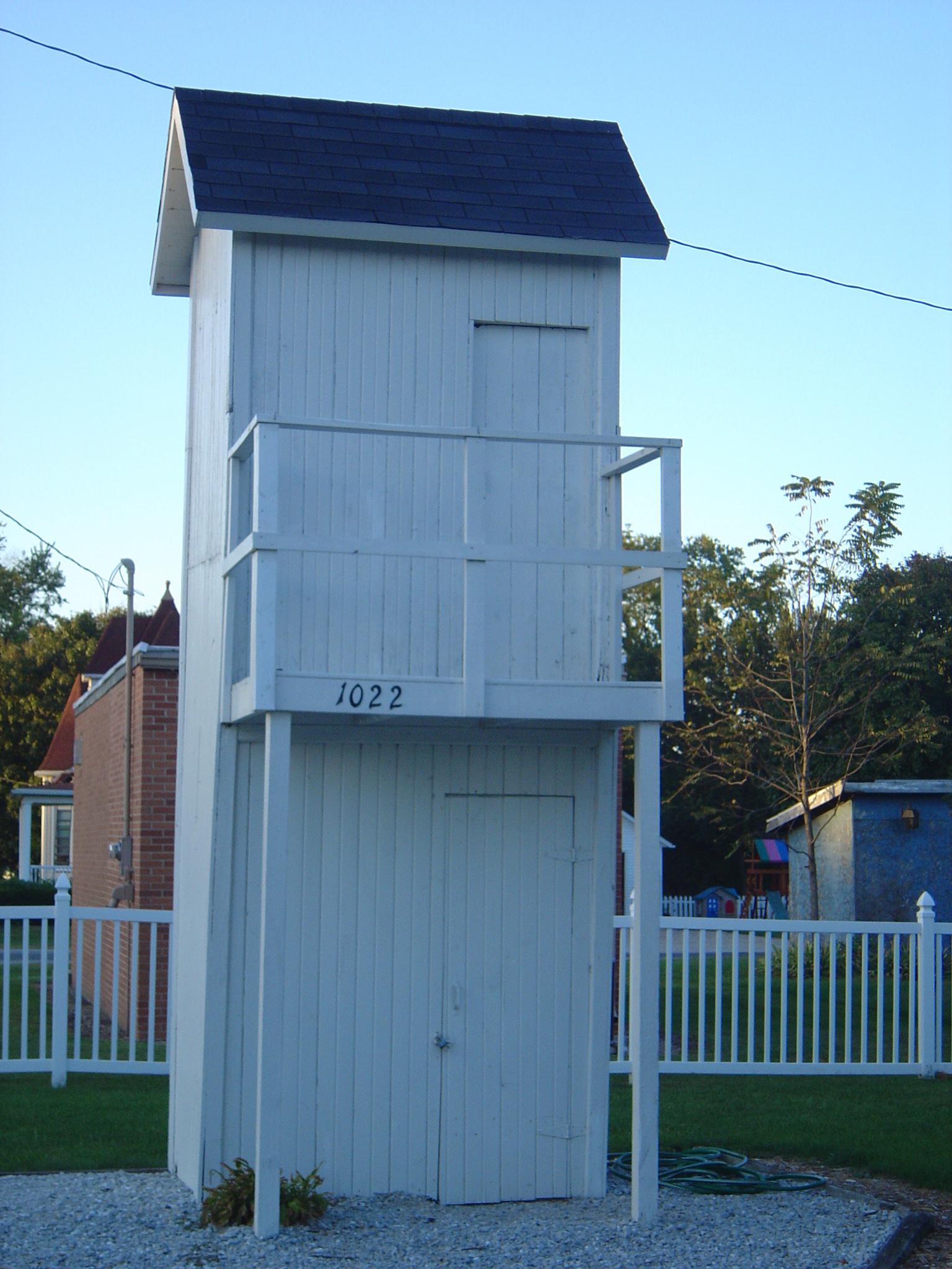
Two story outhouse- 1872- Gays IL (1)
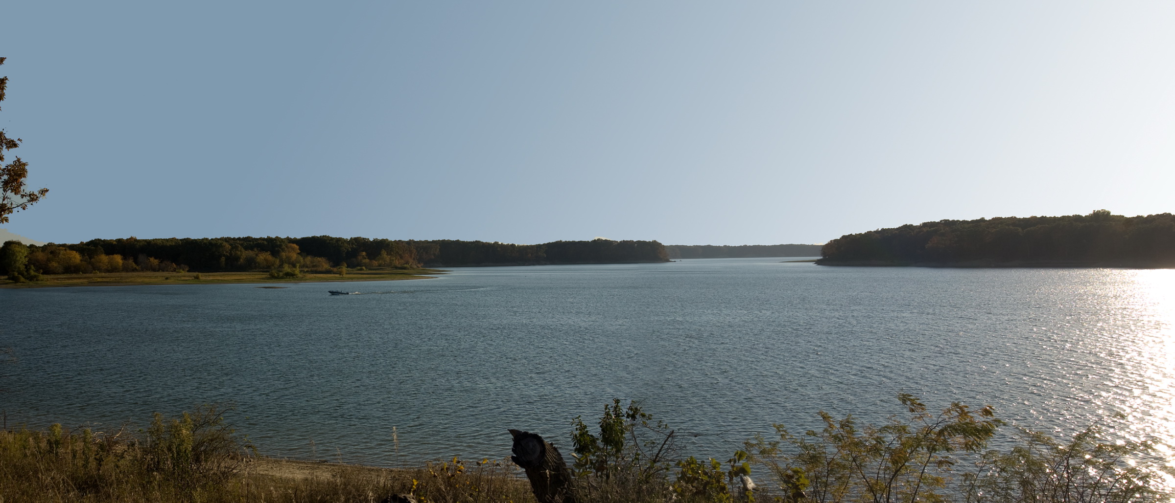
Wolf Creek State Park

From another age
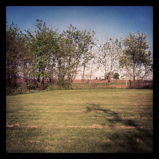
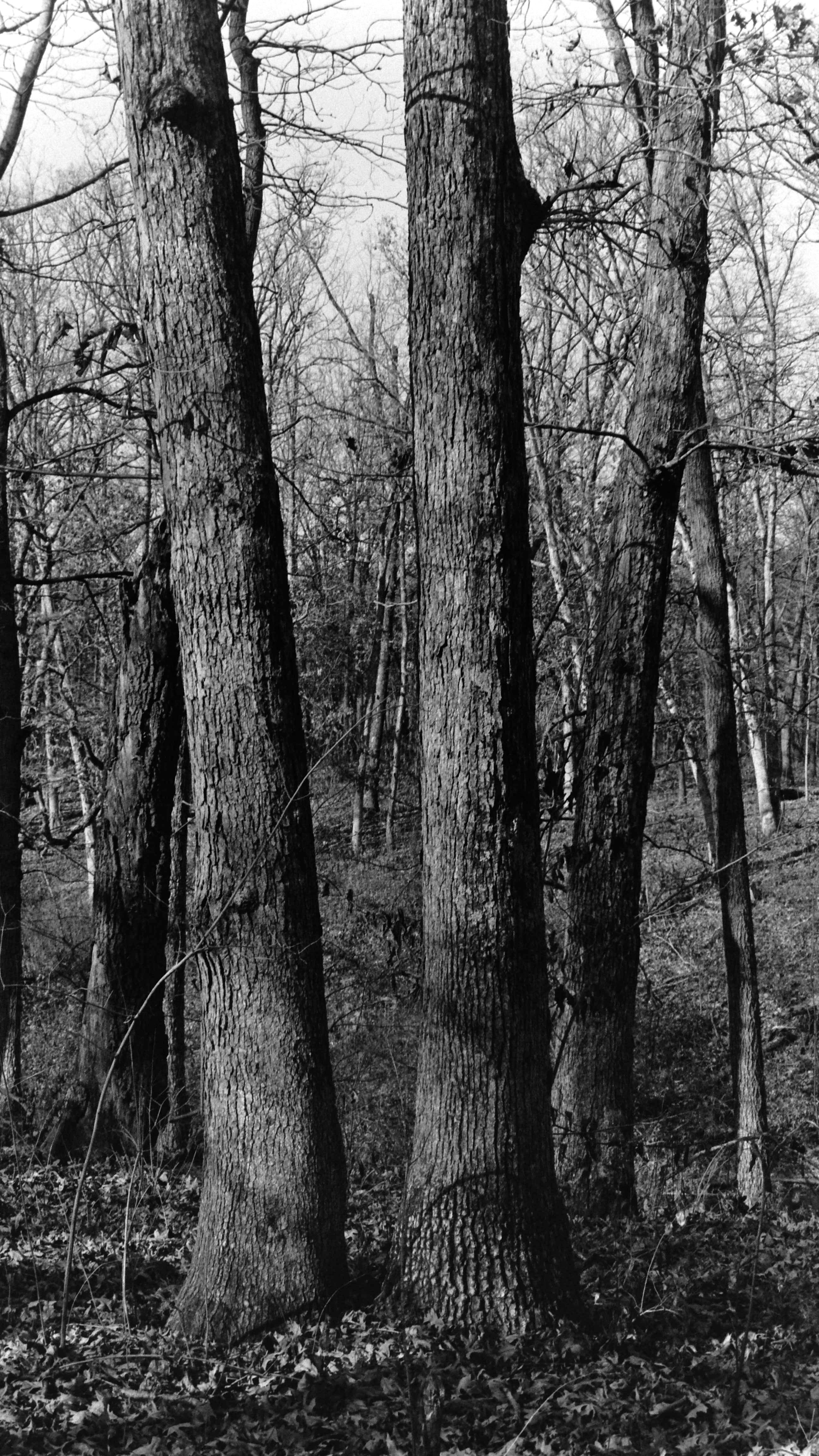
Part of my backyard in Gays, Ill.
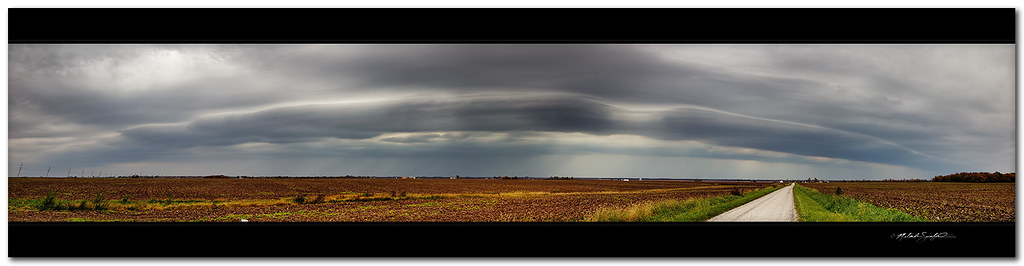
Skimpy shelf cloud - late AM storms (panorama)

Wolf Creek State Park

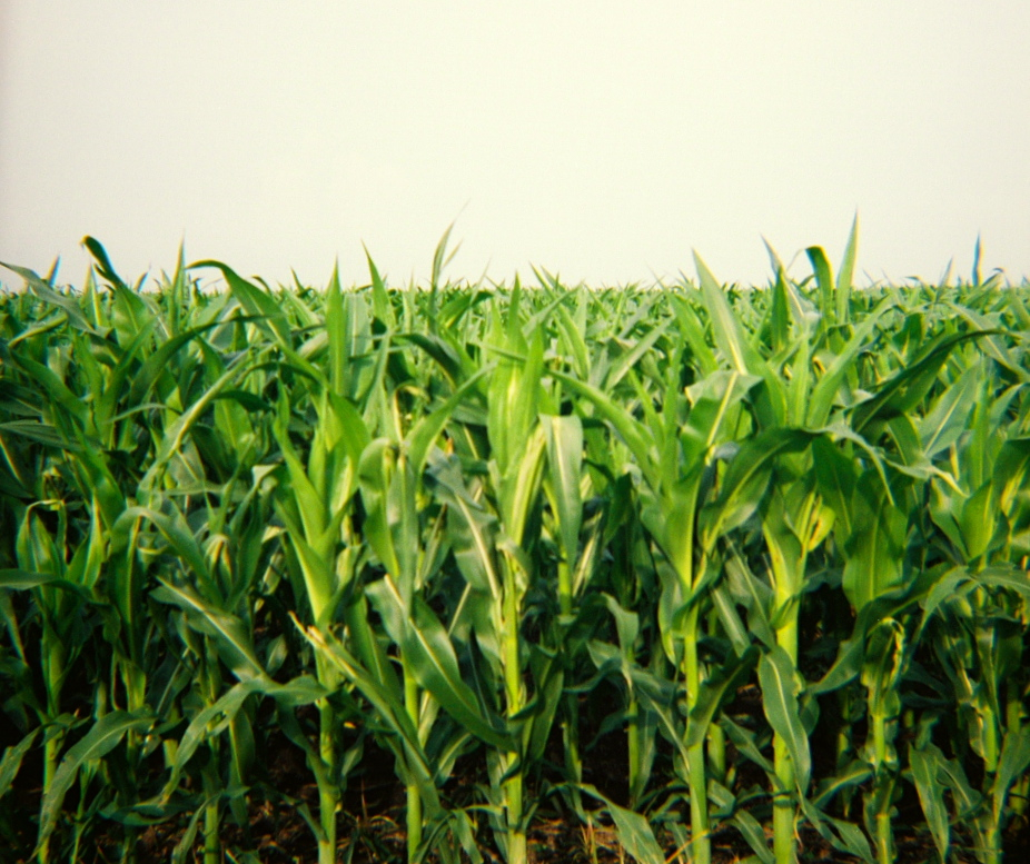
Field by my house during winter.
Black Friday 6
Diana 5

Black Friday 16
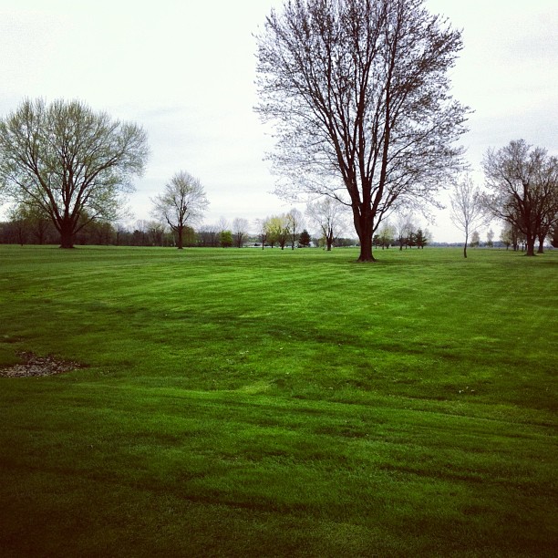
First round of golf of the year
Topographic Map of County Rd E, Sullivan, IL, USA
Find elevation by address:

Places near County Rd E, Sullivan, IL, USA:
18 W Harrison St, Sullivan, IL, USA
Sullivan
Moultrie County
310 N Pierce St
Sullivan Township
Okaw Township
Lovington
Shelbyville Township
Shelbyville
IL-, Shelbyville, IL, USA
Lovington Township
Ridge Township
53 E 50 North Rd, Hammond, IL, USA
Shelby County
N, Tower Hill, IL, USA
Mount Zion Township
Cerro Gordo Township
Point Pleasant Cemetery
Mount Zion
400 South Dr
Recent Searches:
- Elevation of Elwyn Dr, Roanoke Rapids, NC, USA
- Elevation of Congressional Dr, Stevensville, MD, USA
- Elevation of Bellview Rd, McLean, VA, USA
- Elevation of Stage Island Rd, Chatham, MA, USA
- Elevation of Shibuya Scramble Crossing, 21 Udagawacho, Shibuya City, Tokyo -, Japan
- Elevation of Jadagoniai, Kaunas District Municipality, Lithuania
- Elevation of Pagonija rock, Kranto 7-oji g. 8"N, Kaunas, Lithuania
- Elevation of Co Rd 87, Jamestown, CO, USA
- Elevation of Tenjo, Cundinamarca, Colombia
- Elevation of Côte-des-Neiges, Montreal, QC H4A 3J6, Canada