Elevation of County Rd E, Laclede, IL, USA
Location: United States > Illinois > Fayette County > Laclede Township > Laclede >
Longitude: -88.713037
Latitude: 38.8792904
Elevation: 176m / 577feet
Barometric Pressure: 99KPa
Elevation Map:
Satellite Map:
Related Photos:
B&O/Illinois Central crossing, Edgewood, Illinois
E for effort?

RoadTrip 201208130076

Country fence

2013-06-08+13.22.55-2569200713-O

Rainbow over Cornfield
Blue Skies

Land of the Free

Little White Church

Window Shot
The truck south continues! Nola by the late morning. Stopping for gas in southern Illinois, letting Moped Joe out for some fresh air. He's getting restless! ⛽⛽⛽⛽⛽????????????????????????:f

Seven Miles In
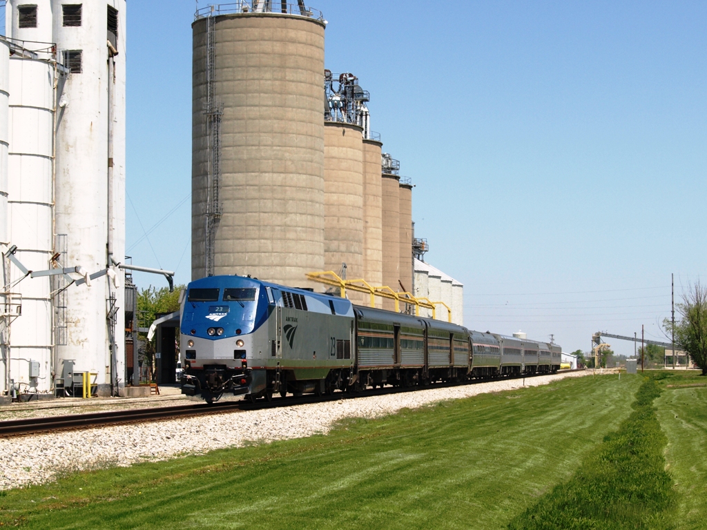
AMTK 23

CN 2907
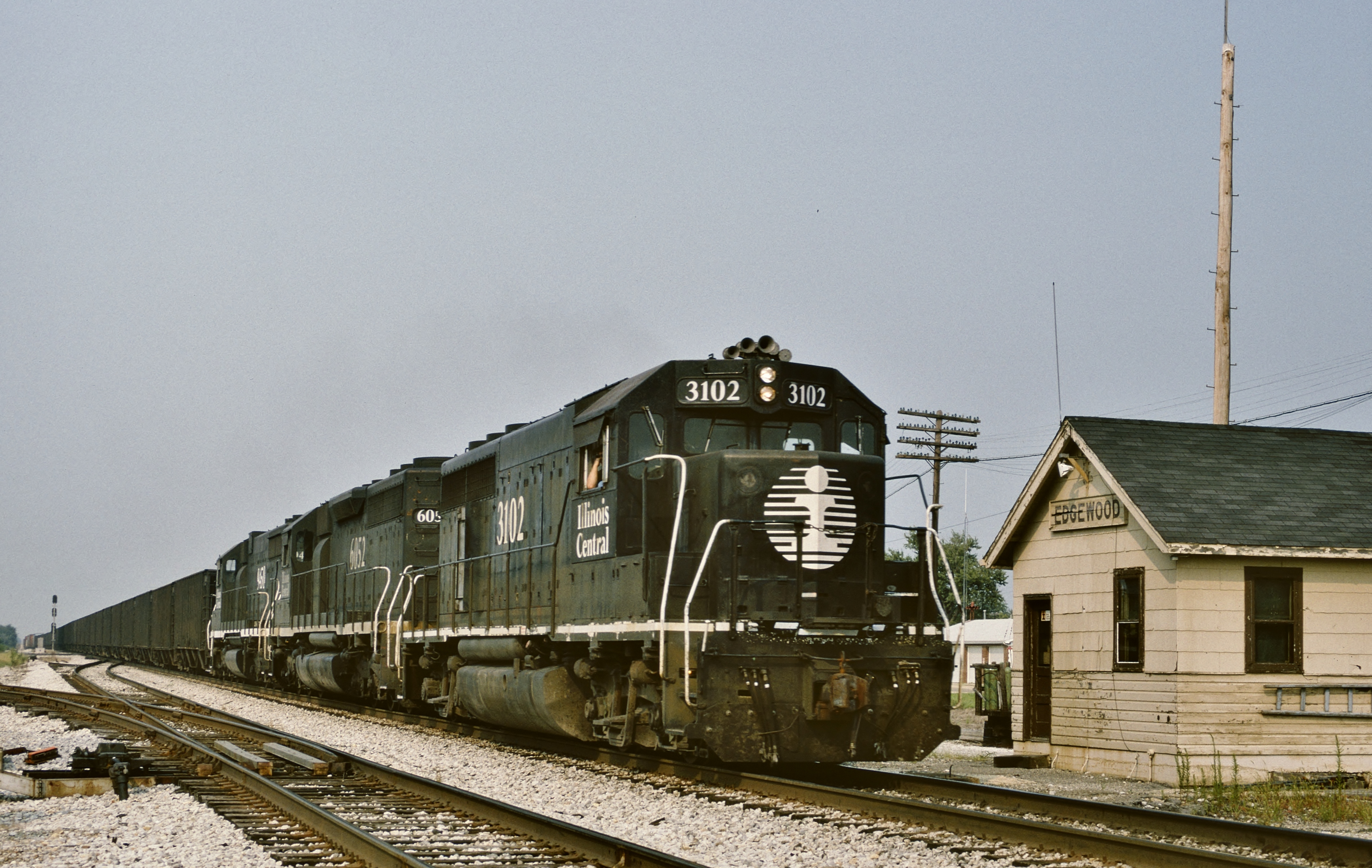
IC 3102 South in Edgewood,Illinois on July 31,1994.
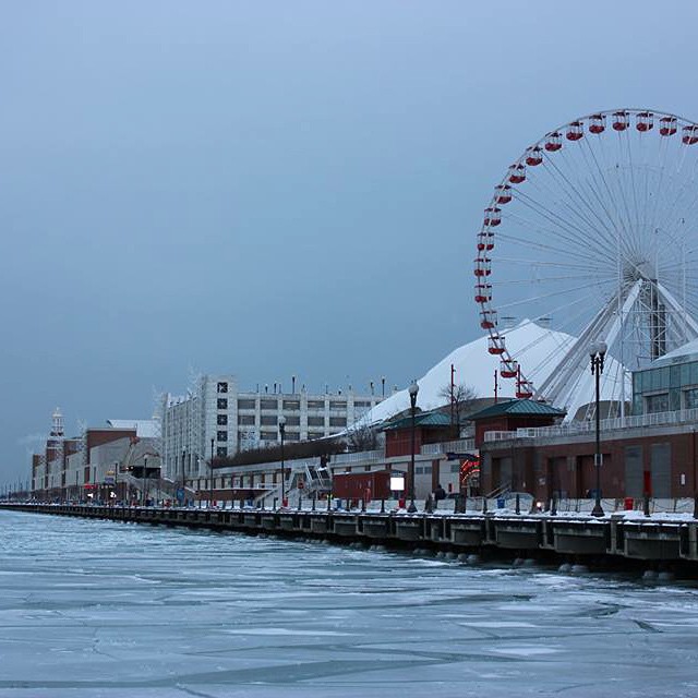
❄️ Navy Pier

2013-06-08+13.22.05-2569200504-O

2013-06-08+13.22.17-2569200557-O

2013-06-08+13.22.30-2569200558-O

2013-06-08+13.23.00-2569200749-O

2013-06-08+13.23.12-2569200732-O

2013-06-08+13.23.50-2569200829-O

2013-06-08+13.24.45-2569200870-O
Topographic Map of County Rd E, Laclede, IL, USA
Find elevation by address:

Places near County Rd E, Laclede, IL, USA:
Laclede
Laclede Township
Edgewood
West Township
E th Ave, Mason, IL, USA
Mason
Washington St, Mason, IL, USA
Lone Grove Township
E 3rd St, St Peter, IL, USA
Saint Peter
2608 E Campground Rd
Mound Township
Kinmundy
11 Lincoln Dr, Altamont, IL, USA
1010 Brewbaker Dr
N Main St, Altamont, IL, USA
Altamont
Saint Elmo
Avena Township
Marion County
Recent Searches:
- Elevation of Corso Fratelli Cairoli, 35, Macerata MC, Italy
- Elevation of Tallevast Rd, Sarasota, FL, USA
- Elevation of 4th St E, Sonoma, CA, USA
- Elevation of Black Hollow Rd, Pennsdale, PA, USA
- Elevation of Oakland Ave, Williamsport, PA, USA
- Elevation of Pedrógão Grande, Portugal
- Elevation of Klee Dr, Martinsburg, WV, USA
- Elevation of Via Roma, Pieranica CR, Italy
- Elevation of Tavkvetili Mountain, Georgia
- Elevation of Hartfords Bluff Cir, Mt Pleasant, SC, USA