Elevation of County Rd E, Carmi, IL, USA
Location: United States > Illinois > White County > Hawthorne Township > Carmi >
Longitude: -88.107731
Latitude: 38.0734388
Elevation: 119m / 390feet
Barometric Pressure: 100KPa
Elevation Map:
Satellite Map:
Related Photos:
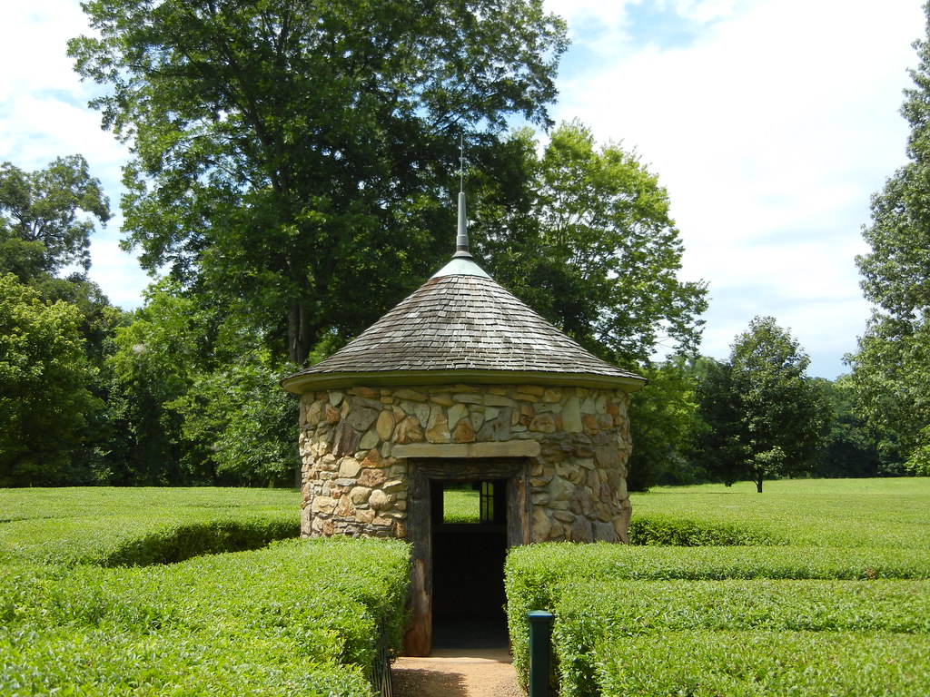
In The Labyrinth
Equine labyrinth area at Atheneum

Labyrinth in New Harmony

20111104_043.jpg

20111104_042.jpg
Old Dam Road IN

labyrinth lines

20111104_040.jpg

20111104_039.jpg
20111104_038.jpg

The Barn

John heads into the labyrinth

5:51pm

The Harmonist Labyrinth

Evergreen Labrynth

20111104_035.jpg

The Harmonist Labyrinth
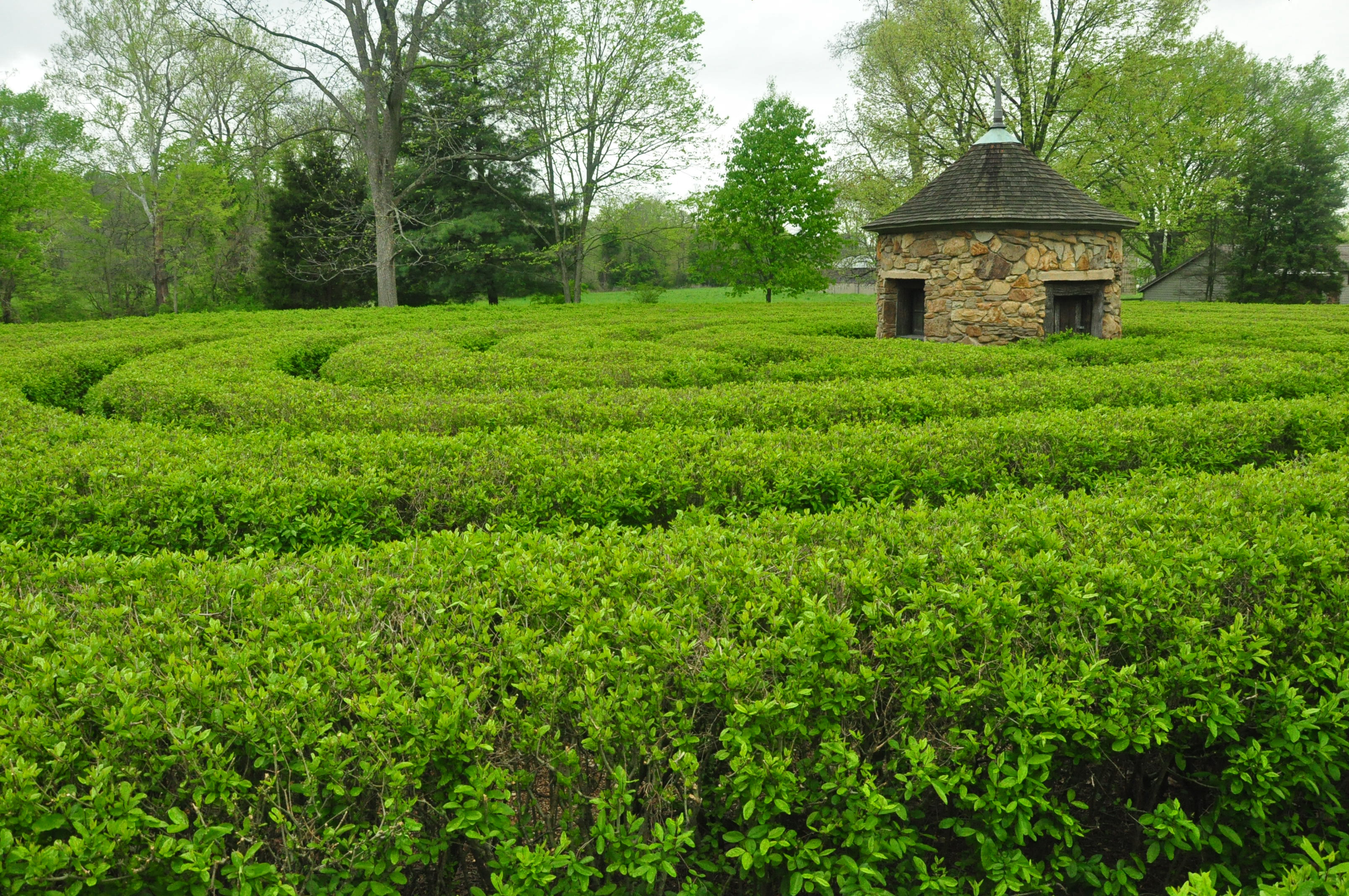
New Harmony Labyrinth
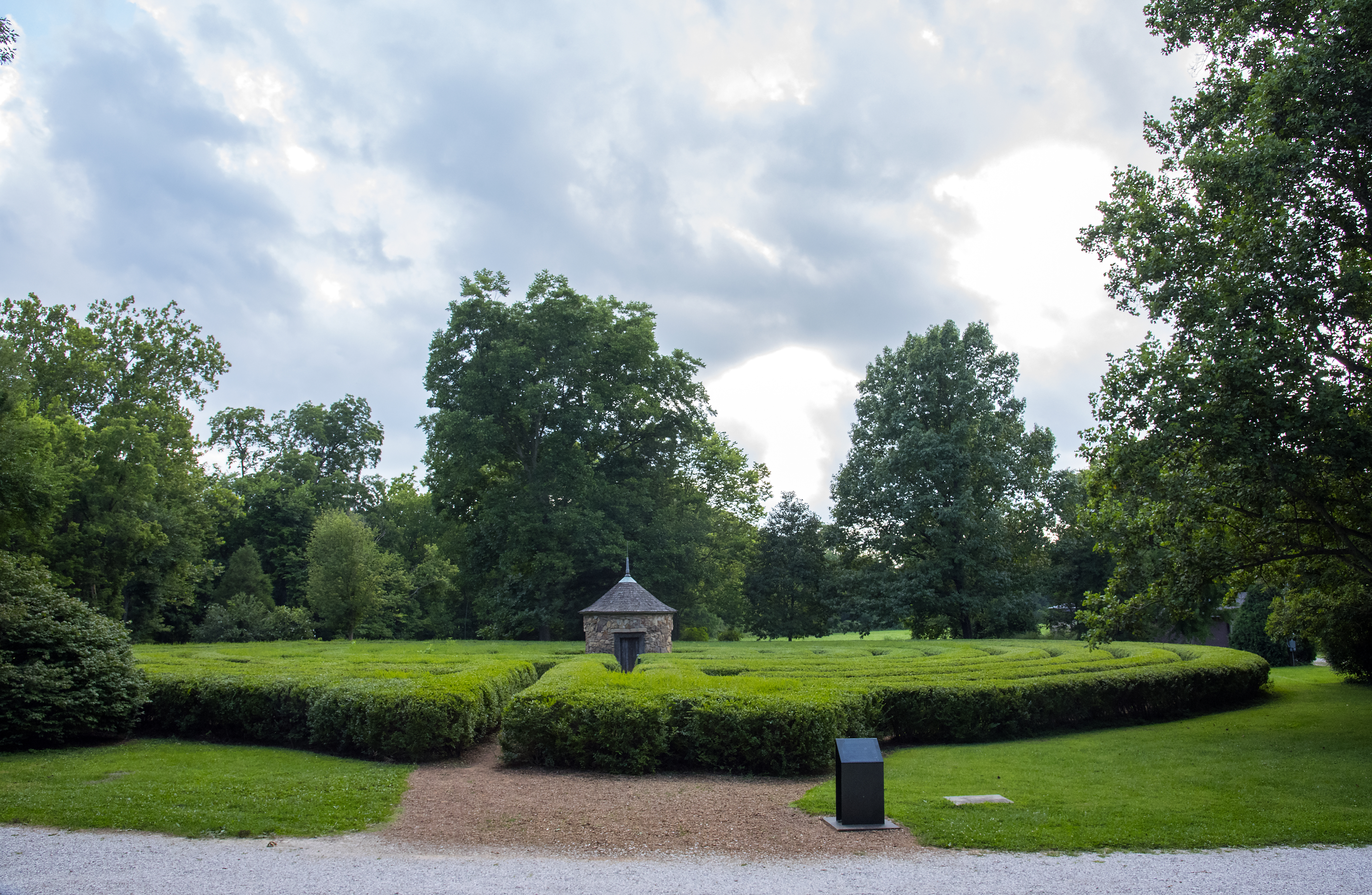
Historic New Harmony Hedge Maze

Hedge maze and Tabernacle

River Camps

labyrinth in the sun
Topographic Map of County Rd E, Carmi, IL, USA
Find elevation by address:

Places near County Rd E, Carmi, IL, USA:
Hawthorne Township
Carmi
E Main St, Carmi, IL, USA
Griffith Dr, Carmi, IL, USA
Elliott St, Crossville, IL, USA
Crossville
1417 County Rd 900 E
Phillips Township
Maunee Ferry Rd, Mt Vernon, IN, USA
Carmi Township
White County
Lower New Harmony Rd, Mt Vernon, IN, USA
New Harmony
Lynn Township
Enfield Township
Harmony Township
Rippey Rd, Mt Vernon, IN, USA
Griffin Rd, Griffin, IN, USA
IN-69, Mt Vernon, IN, USA
Posey County
Recent Searches:
- Elevation of Lampiasi St, Sarasota, FL, USA
- Elevation of Elwyn Dr, Roanoke Rapids, NC, USA
- Elevation of Congressional Dr, Stevensville, MD, USA
- Elevation of Bellview Rd, McLean, VA, USA
- Elevation of Stage Island Rd, Chatham, MA, USA
- Elevation of Shibuya Scramble Crossing, 21 Udagawacho, Shibuya City, Tokyo -, Japan
- Elevation of Jadagoniai, Kaunas District Municipality, Lithuania
- Elevation of Pagonija rock, Kranto 7-oji g. 8"N, Kaunas, Lithuania
- Elevation of Co Rd 87, Jamestown, CO, USA
- Elevation of Tenjo, Cundinamarca, Colombia