Elevation of County Rd, Clifton, TX, USA
Location: United States > Texas > Bosque County > Clifton >
Longitude: -97.323388
Latitude: 31.8014959
Elevation: 153m / 502feet
Barometric Pressure: 99KPa
Elevation Map:
Satellite Map:
Related Photos:

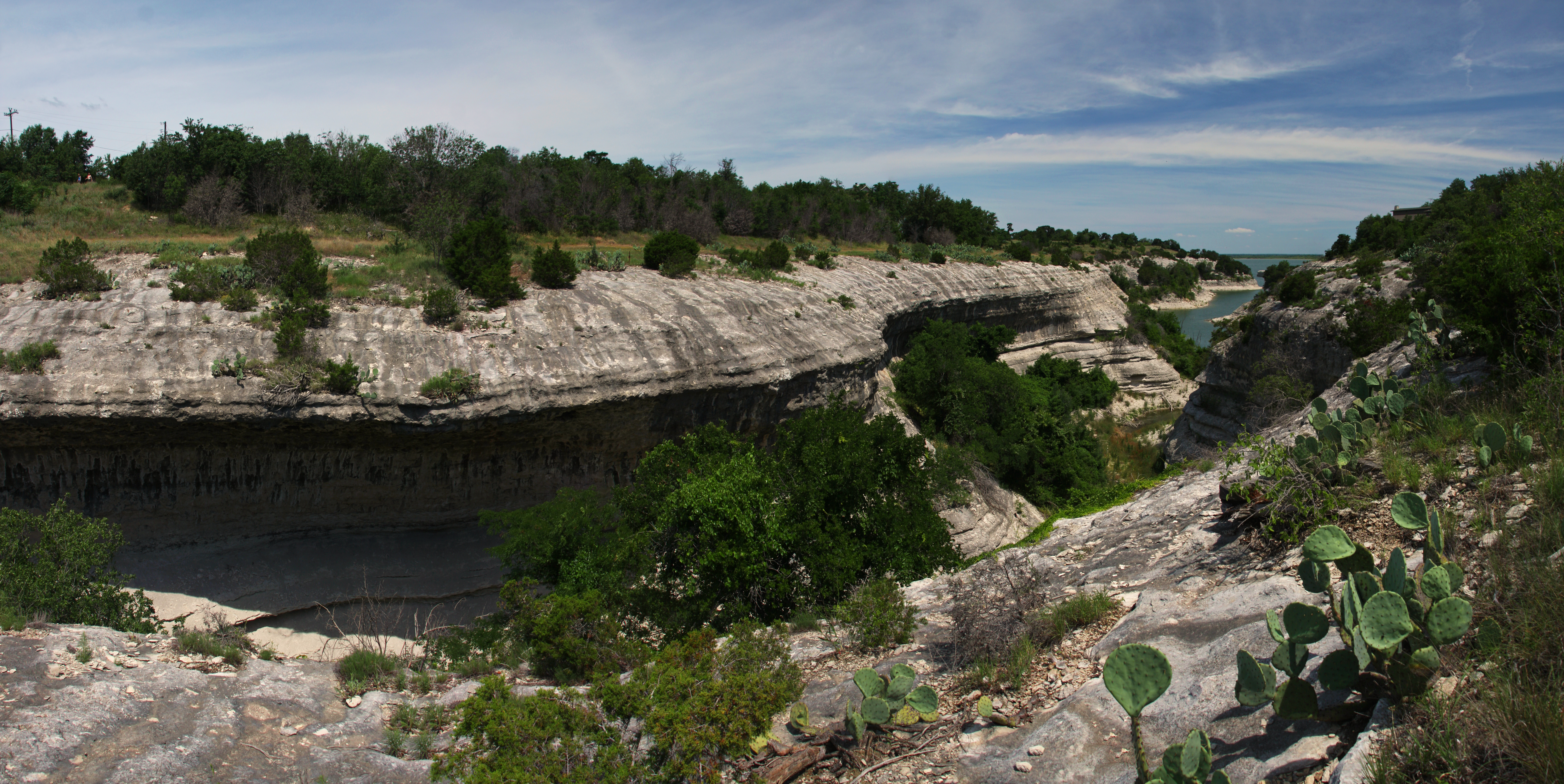
Point Bar On Childress Creek
Lake Whitney Ranch

Bike Packing 013 - view from camp site

Whitney Dam

lake whitney

Half Full

W2W_2013__P5180158-2

Good morning bathroom

20090314-_MG_0562
Topographic Map of County Rd, Clifton, TX, USA
Find elevation by address:

Places near County Rd, Clifton, TX, USA:
422 County Rd 3625
County Road 3610a
Aquilla
1929 Patrick Rd
FM 56, Clifton, TX, USA
Patrick Rd, Waco, TX, USA
China Spring
N Brazos St, Whitney, TX, USA
Whitney
Illinois Ave, China Spring, TX, USA
Aquilla Lake
Hill County Road 1245
703 Sunset Oak
HCR, Abbott, TX, USA
Juniper Cove Road
5409 Stillhouse Hollow Dr
9408 Village Lake Cir
TX-22, Hillsboro, TX, USA
5608 Flat Rock Rd
Valley Mills
Recent Searches:
- Elevation of Lampiasi St, Sarasota, FL, USA
- Elevation of Elwyn Dr, Roanoke Rapids, NC, USA
- Elevation of Congressional Dr, Stevensville, MD, USA
- Elevation of Bellview Rd, McLean, VA, USA
- Elevation of Stage Island Rd, Chatham, MA, USA
- Elevation of Shibuya Scramble Crossing, 21 Udagawacho, Shibuya City, Tokyo -, Japan
- Elevation of Jadagoniai, Kaunas District Municipality, Lithuania
- Elevation of Pagonija rock, Kranto 7-oji g. 8"N, Kaunas, Lithuania
- Elevation of Co Rd 87, Jamestown, CO, USA
- Elevation of Tenjo, Cundinamarca, Colombia