Elevation of County Rd 7 SE, Chatfield, MN, USA
Location: United States > Minnesota > Olmsted County > Orion Township > Chatfield >
Longitude: -92.259372
Latitude: 43.874603
Elevation: 315m / 1033feet
Barometric Pressure: 98KPa
Elevation Map:
Satellite Map:
Related Photos:
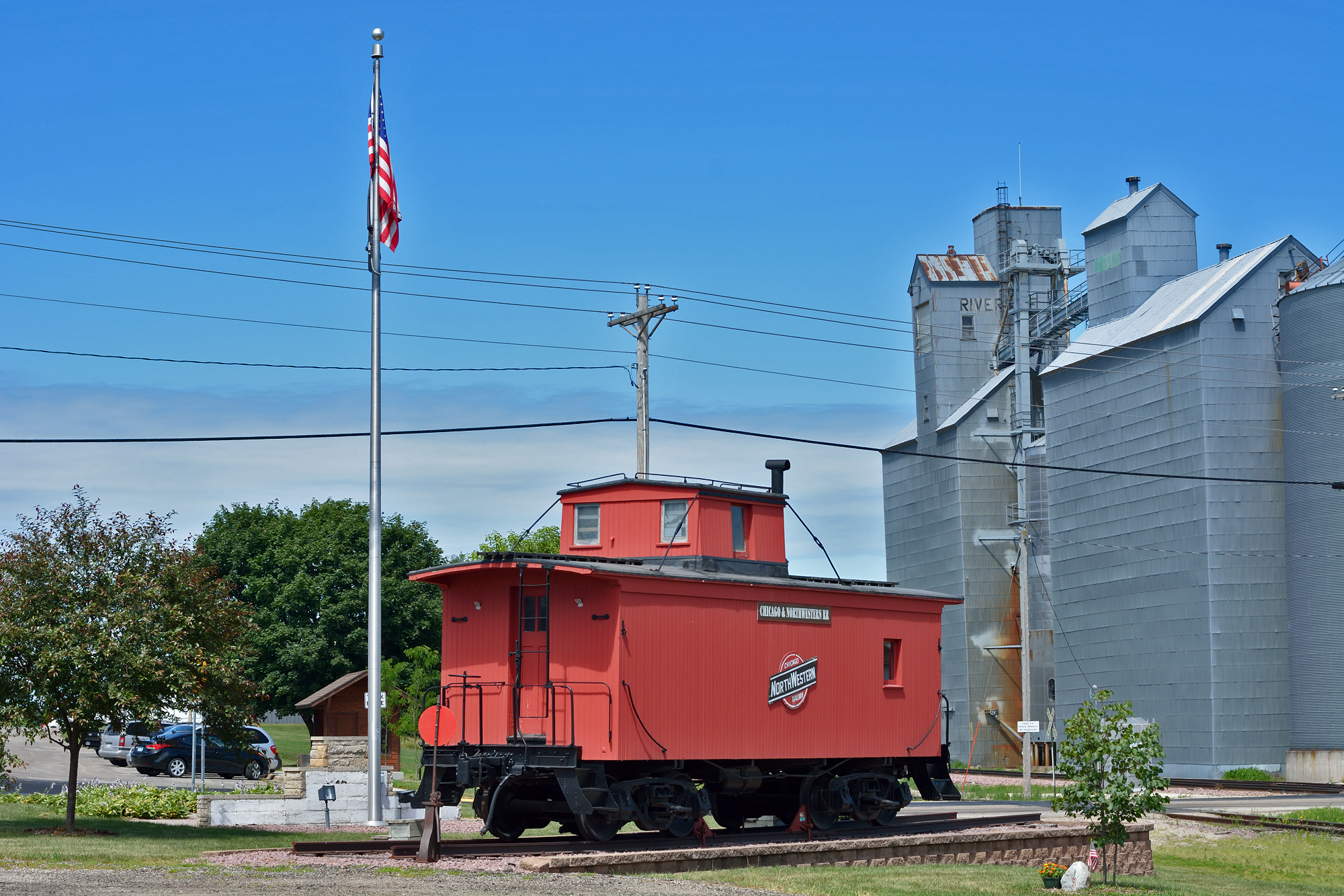
Eyota, MN - 1979
Eyota, MN - 2013
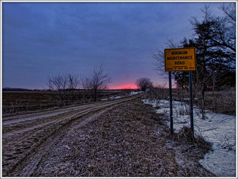
Minimum Maintenance Road

Holy Mackeral! (cw0806-02-005)

My Homeland No. 6 #abstract #landscape #rotated #motionblur #slowshutter #winter #minnesota

My Homeland No. 14 #minnesota #winter #landscape #abstract #rotated
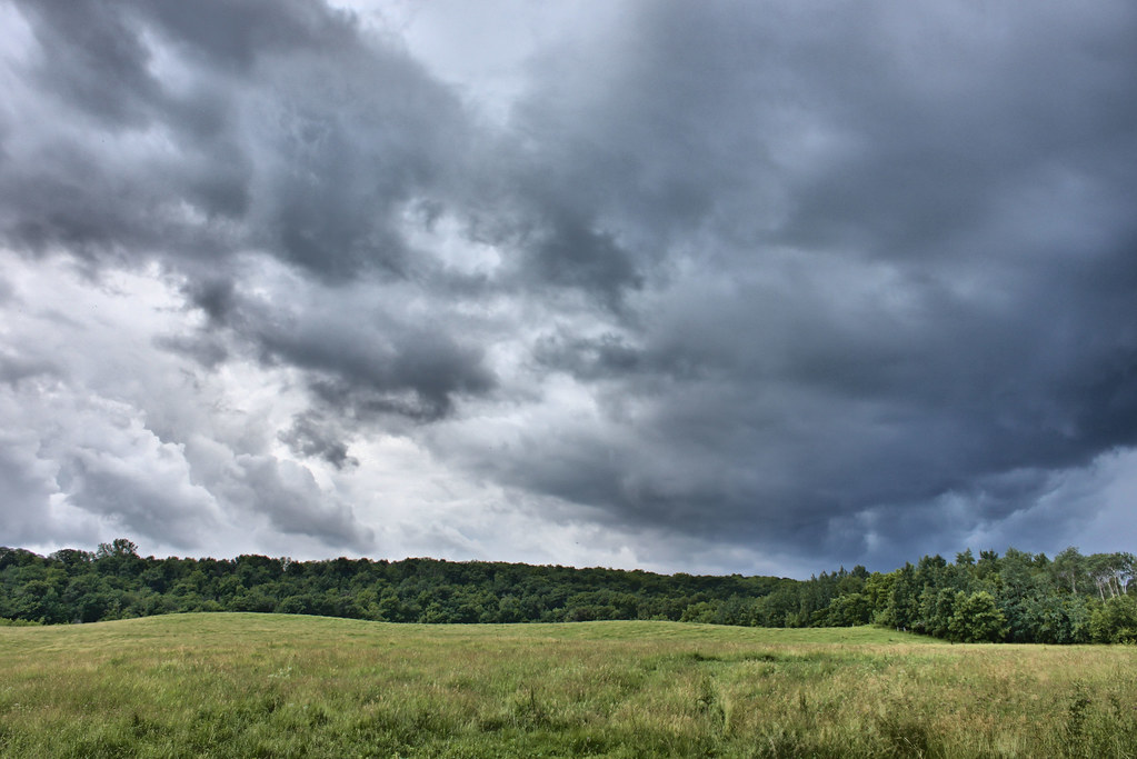
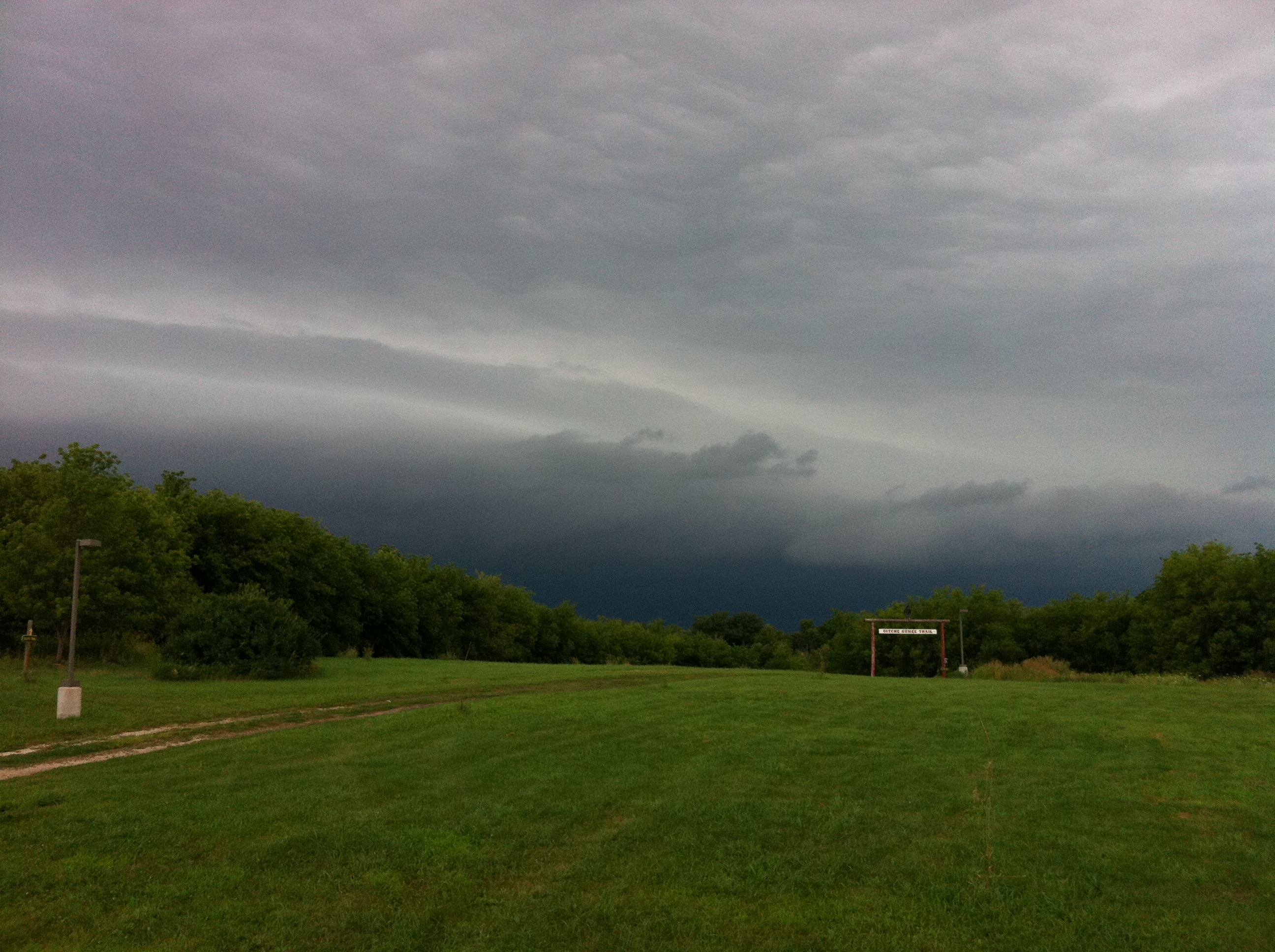
Storm Alert

My Homeland No. 2 #winter #landscape #abstract #slowshutter #motionblur
2014-05-17 18.19.09
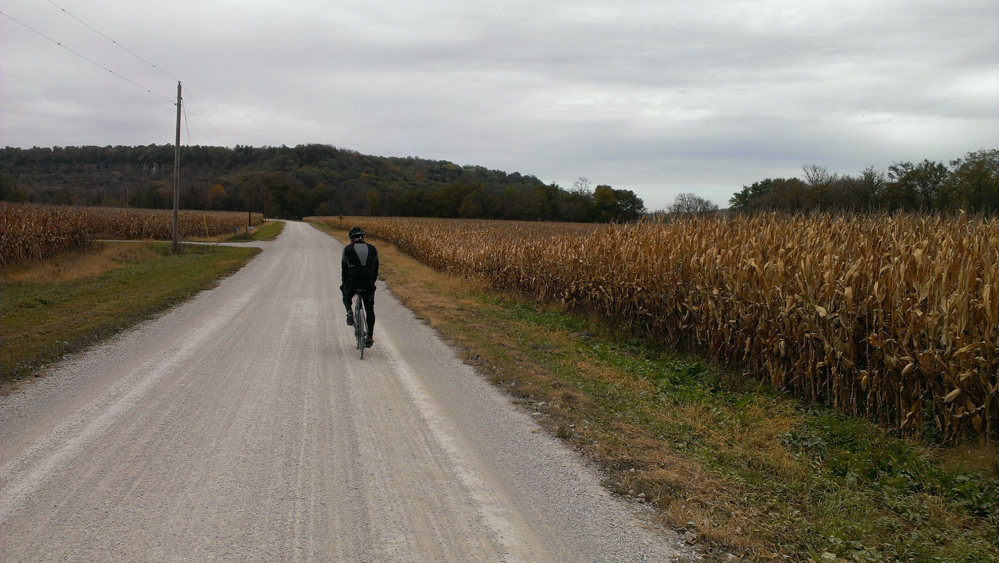
2014-10-12 12.23.36
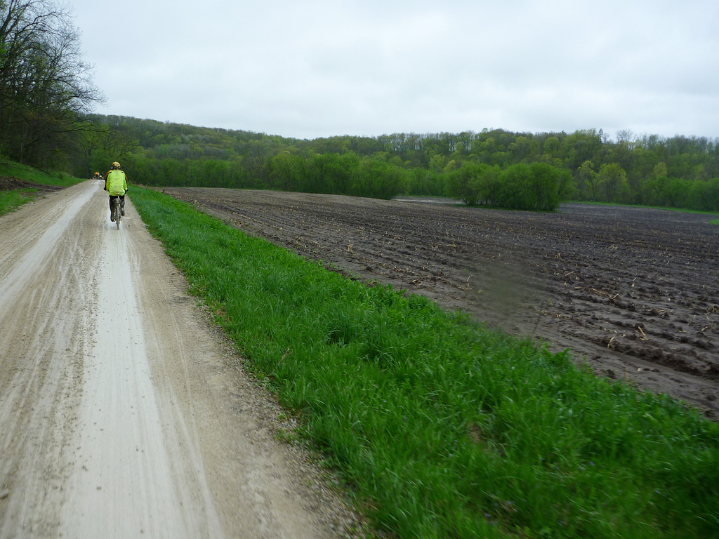
2014-05-17 10.33.27
2014-05-17 09.40.08
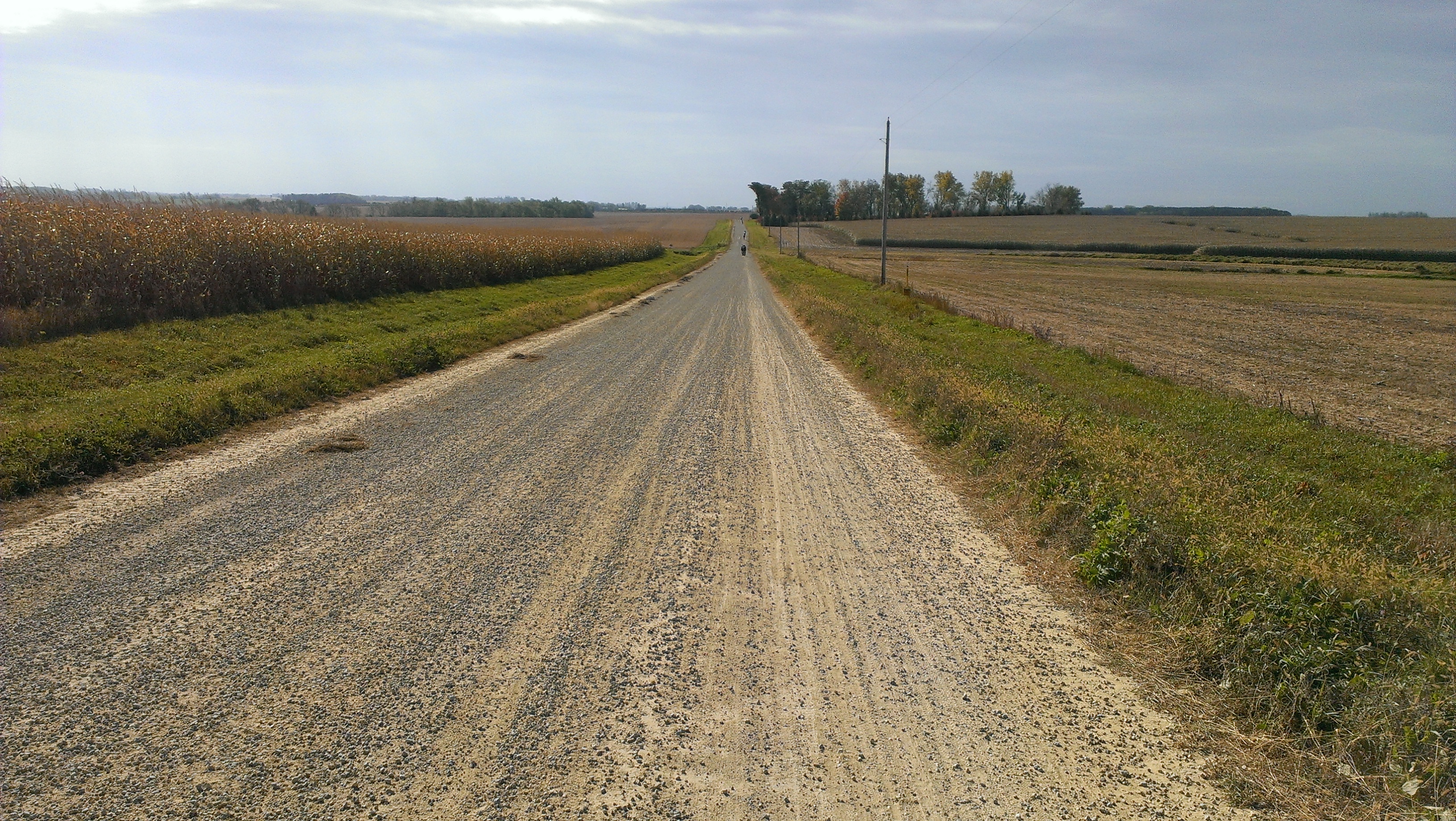
Riding Gravel in the Rain

2014-05-17 10.45.07
2014-10-12 12.16.13

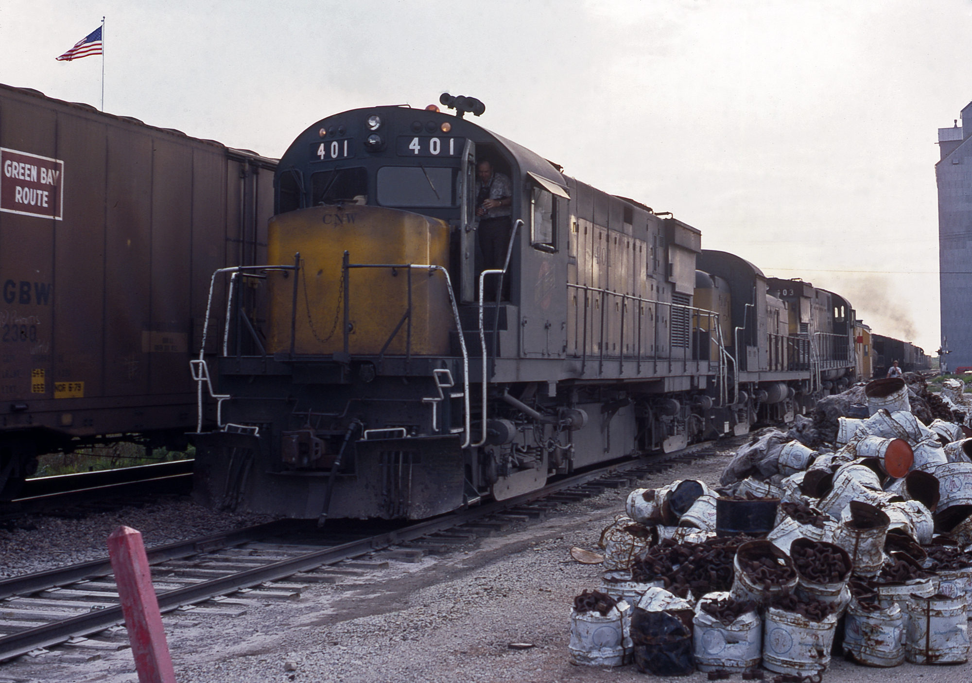
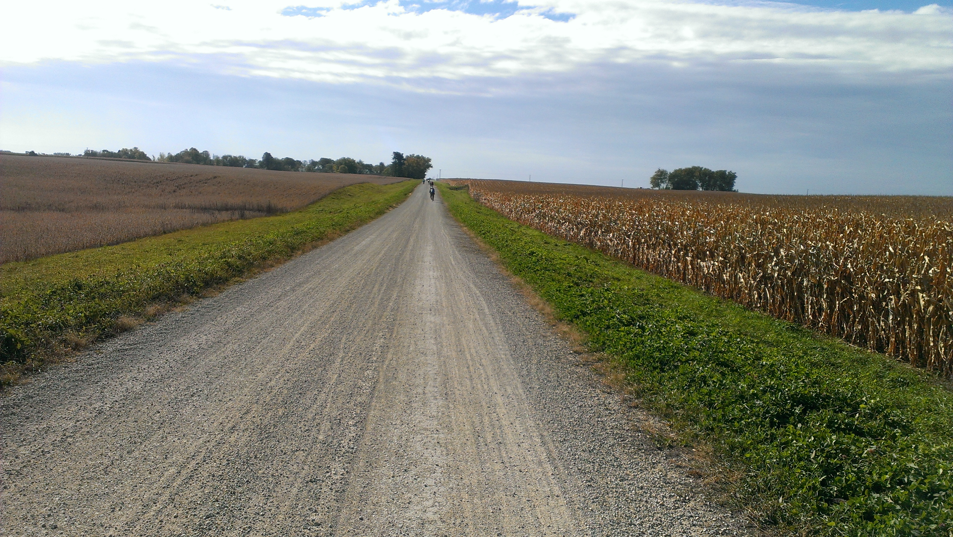
60Ms on the DM&E
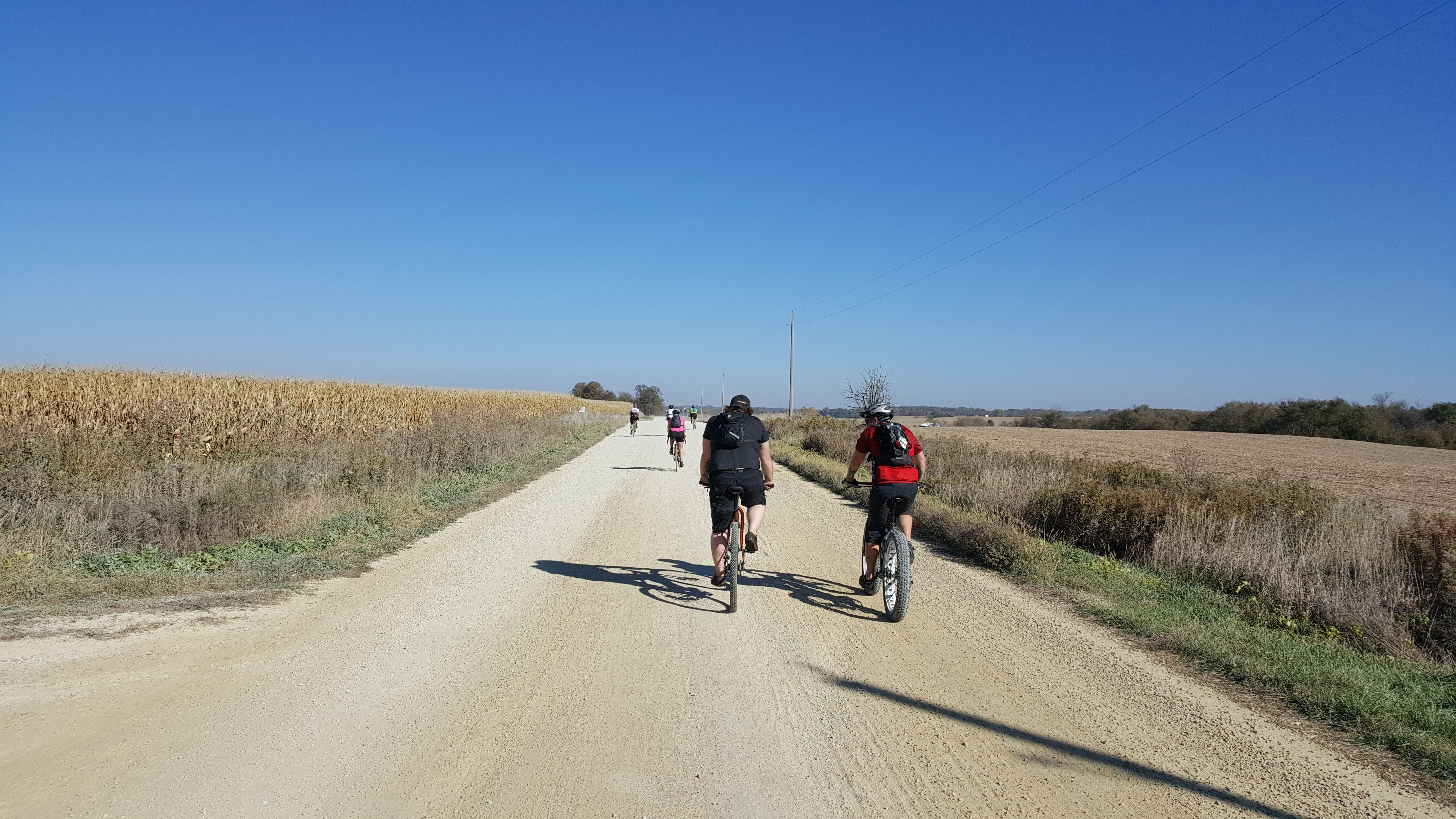
2015-10-11 10.40.00

2015-10-11 13.11.12

Pin Oak Prairie SNA
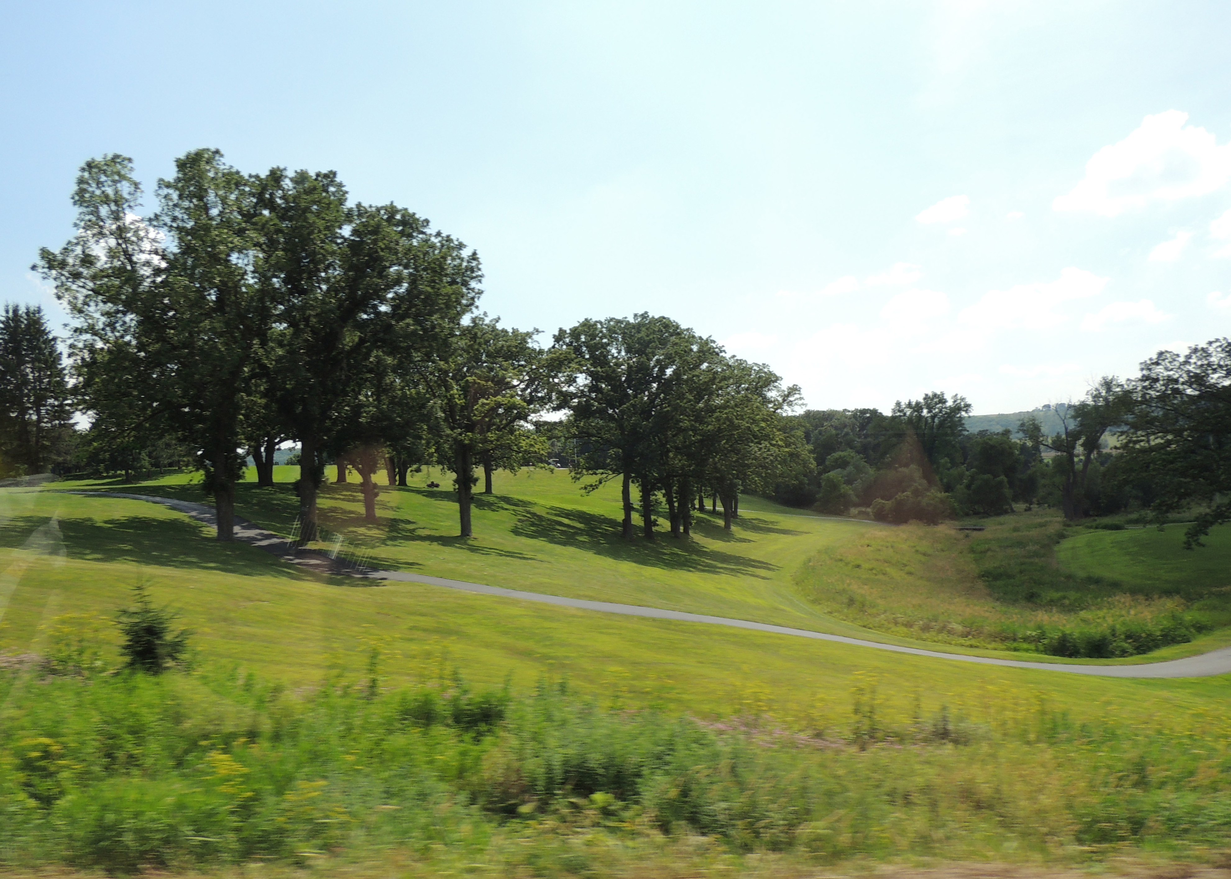
MN/IA trip
Cub Scout camp - heading to storm shelters. Can someone close my tent please.
2014-10-12 11.04.16
2014-10-12 11.00.33
Topographic Map of County Rd 7 SE, Chatfield, MN, USA
Find elevation by address:

Places near County Rd 7 SE, Chatfield, MN, USA:
Orion Township
Chatfield
75th Ave SE, Eyota, MN, USA
29760 Minor Road
Eyota Township
54th Ave NW, Rochester, MN, USA
14 E S Front St, Eyota, MN, USA
Eyota
9002 20th St Se
8101 Maple Valley Rd Se
Marion Township
6251 20th St Se
Dover
NE Co Rd 10, Dover, MN, USA
Chester Ave SE, Rochester, MN, USA
Olmsted County
1704 48th Ave Se
Orchard Road, Spring Valley, MN, USA
3643 20th St Se
2255 Marion Rd Se
Recent Searches:
- Elevation of W Prive Cir, Delray Beach, FL, USA
- Elevation of S Layton Cir W, Layton, UT, USA
- Elevation of F36W+3M, Mussoorie, Uttarakhand, India
- Elevation of Fairland Ave, Fairhope, AL, USA
- Elevation of Sunset Dr, Richmond, VA, USA
- Elevation of Grodna District, Hrodna Region, Belarus
- Elevation of Hrodna, Hrodna Region, Belarus
- Elevation of Sandia Derby Estates, Tijeras, NM, USA
- Elevation of 23 Sunrise View Ct, Tijeras, NM, USA
- Elevation of Lytham Ln, Katy, TX, USA