Elevation of County RD 74A, Hayden, CO, USA
Location: United States > Colorado > Routt County > Hayden >
Longitude: -107.28752
Latitude: 40.616888
Elevation: 1995m / 6545feet
Barometric Pressure: 80KPa
Elevation Map:
Satellite Map:
Related Photos:
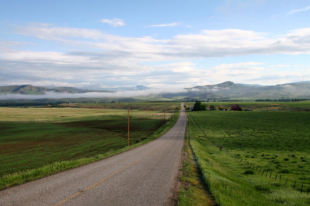
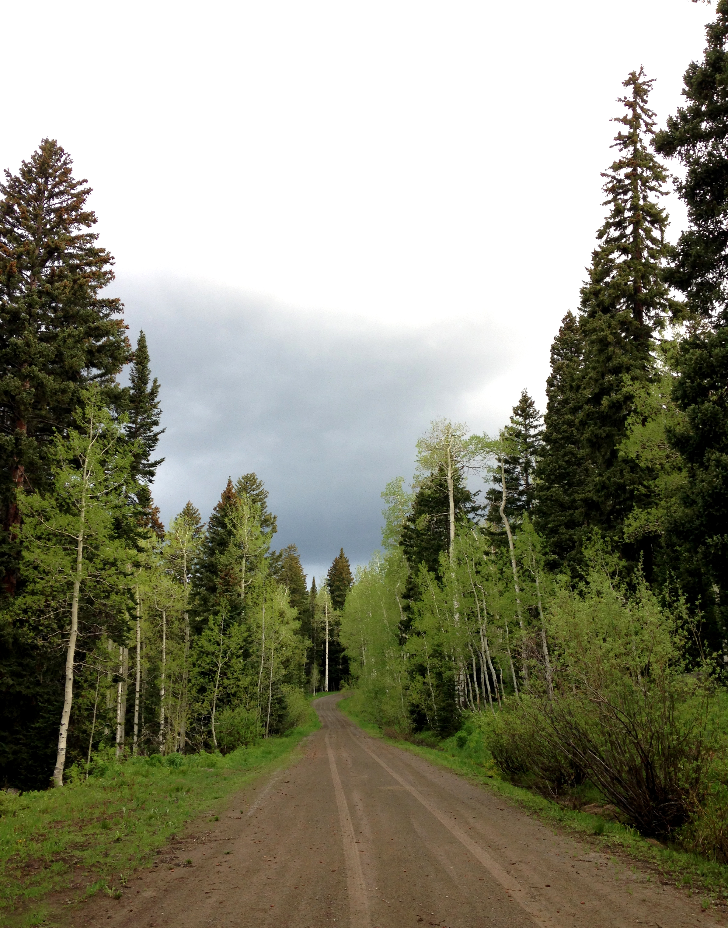
bird on a wire over the straight and narrow

Hayden Station
Green Colorado _R6D2003e1

Galaxy Aviation

One In, One Out

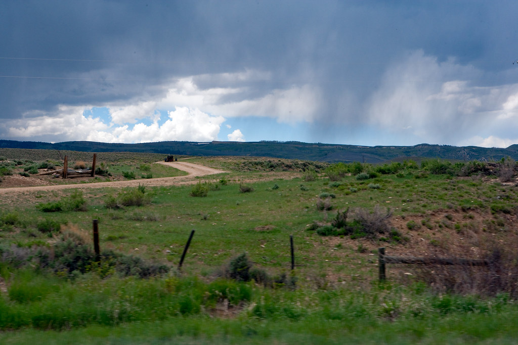
Bendy Grass _R6D2013e1
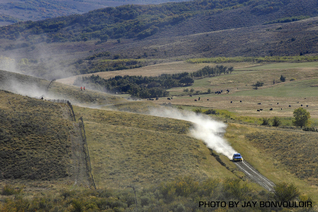
Rally Colorado 021
Elkhead Reservoir, Craig, Colorado

DUSGRO 0072

DUSGRO 0001
Establishing Shot - Black Mountain, Moffatt County, CO - June 2015
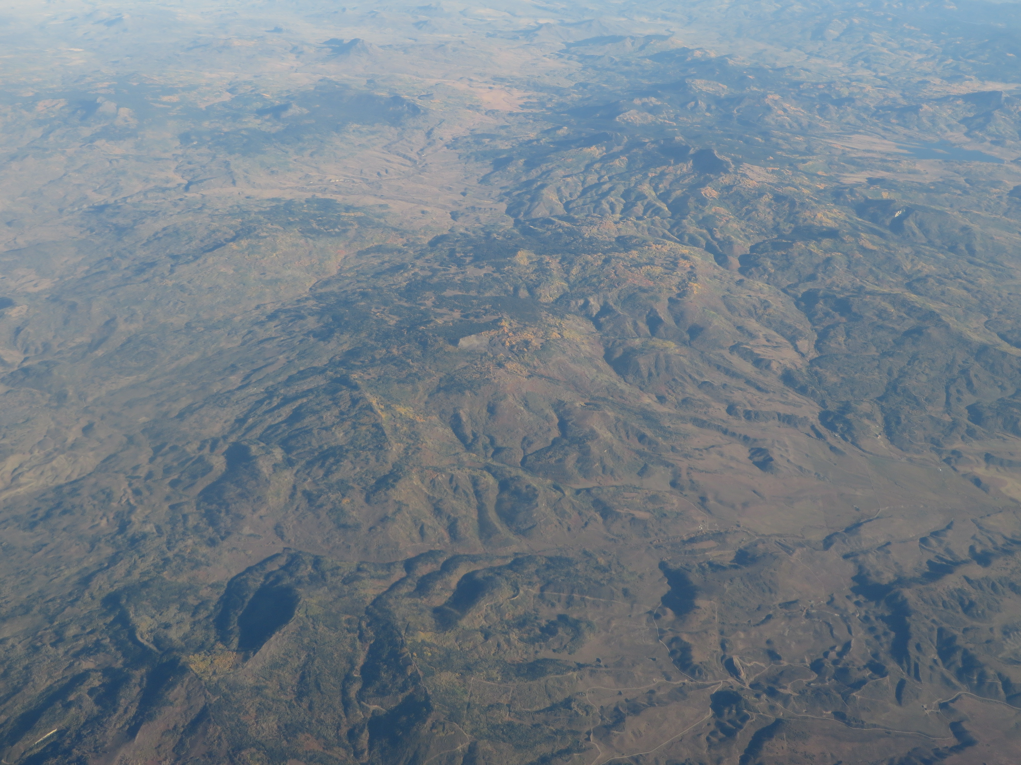
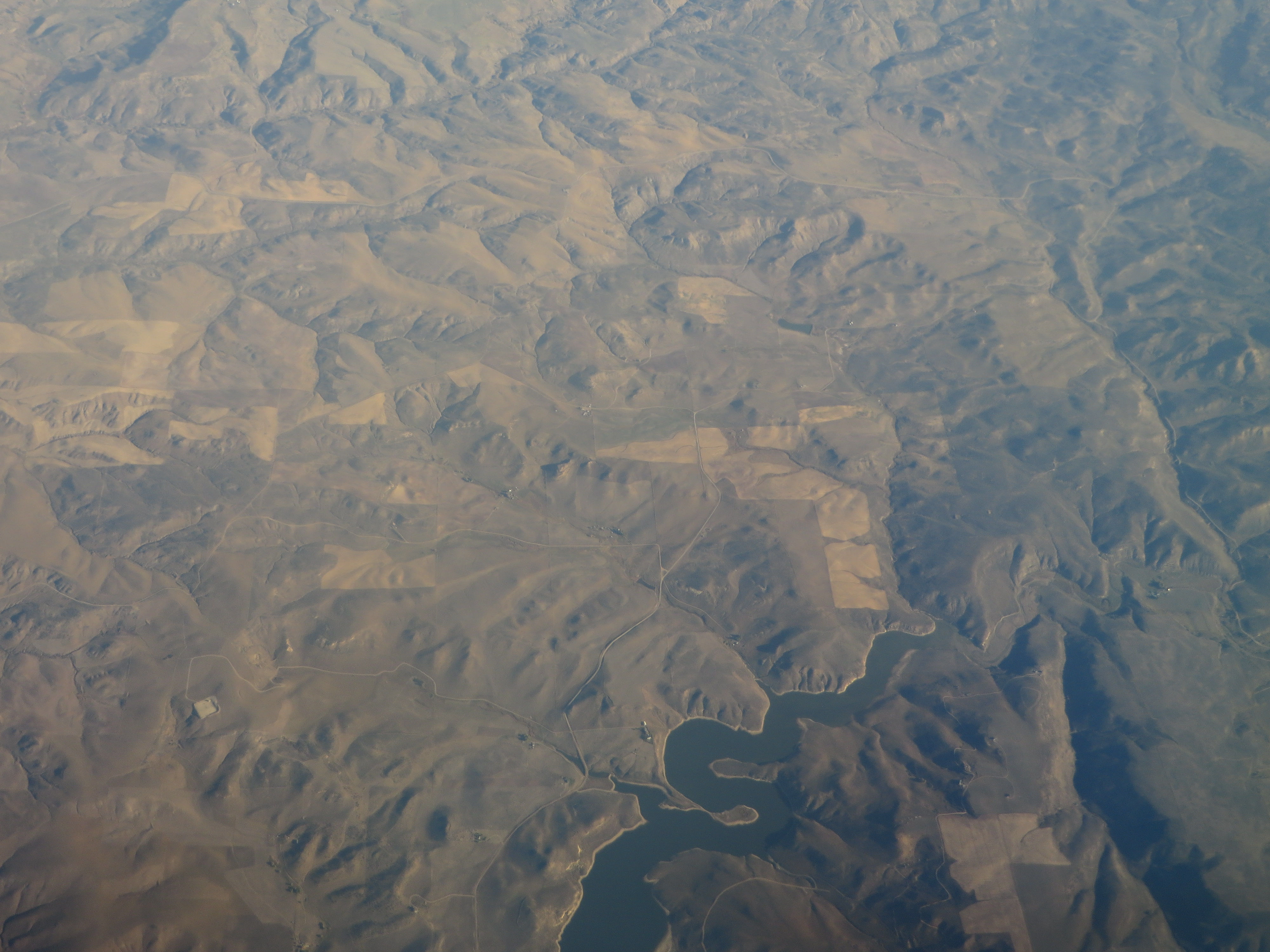
Elkhead Mountains, Colorado
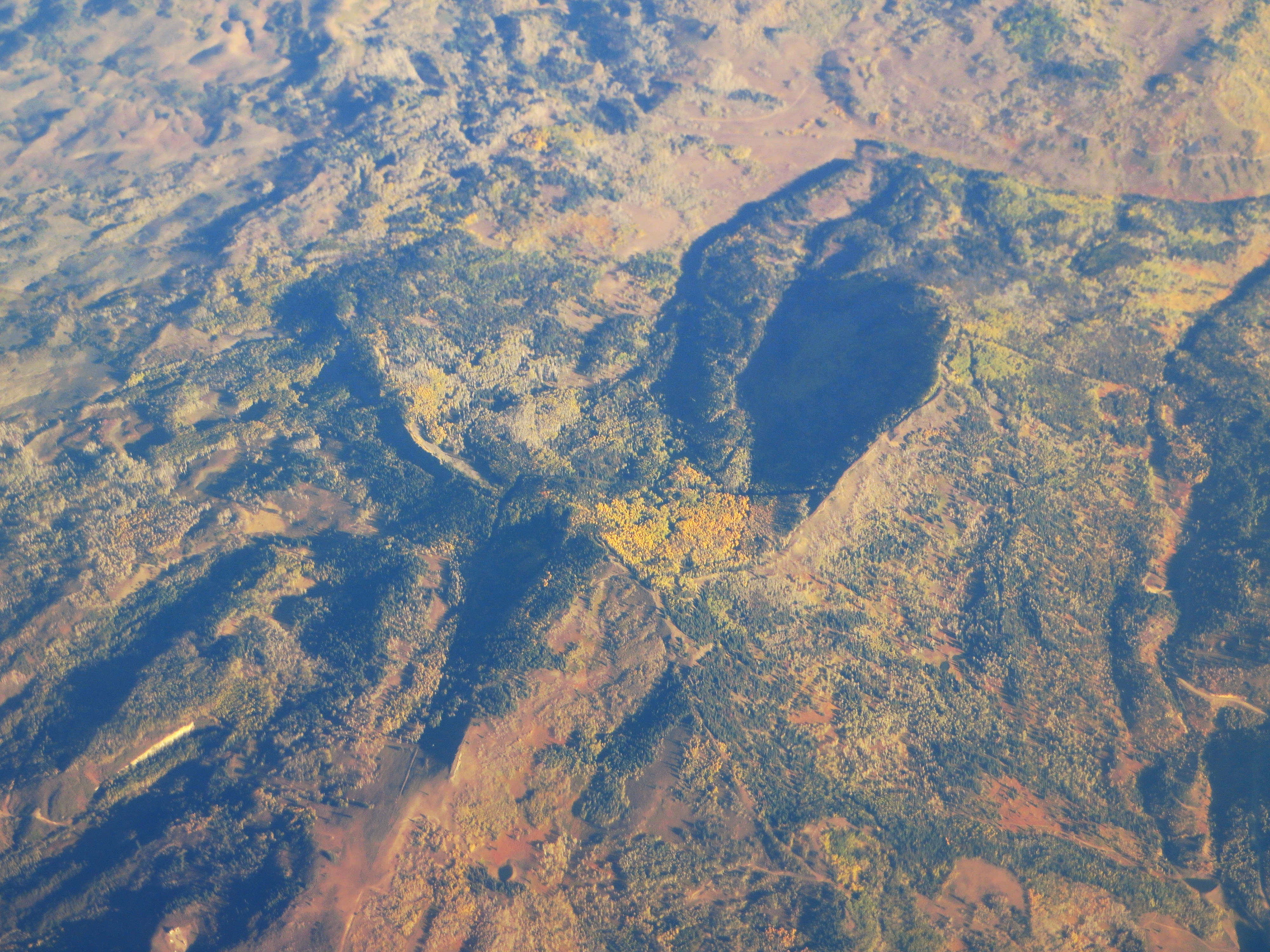
Elkhead Mountains, Colorado
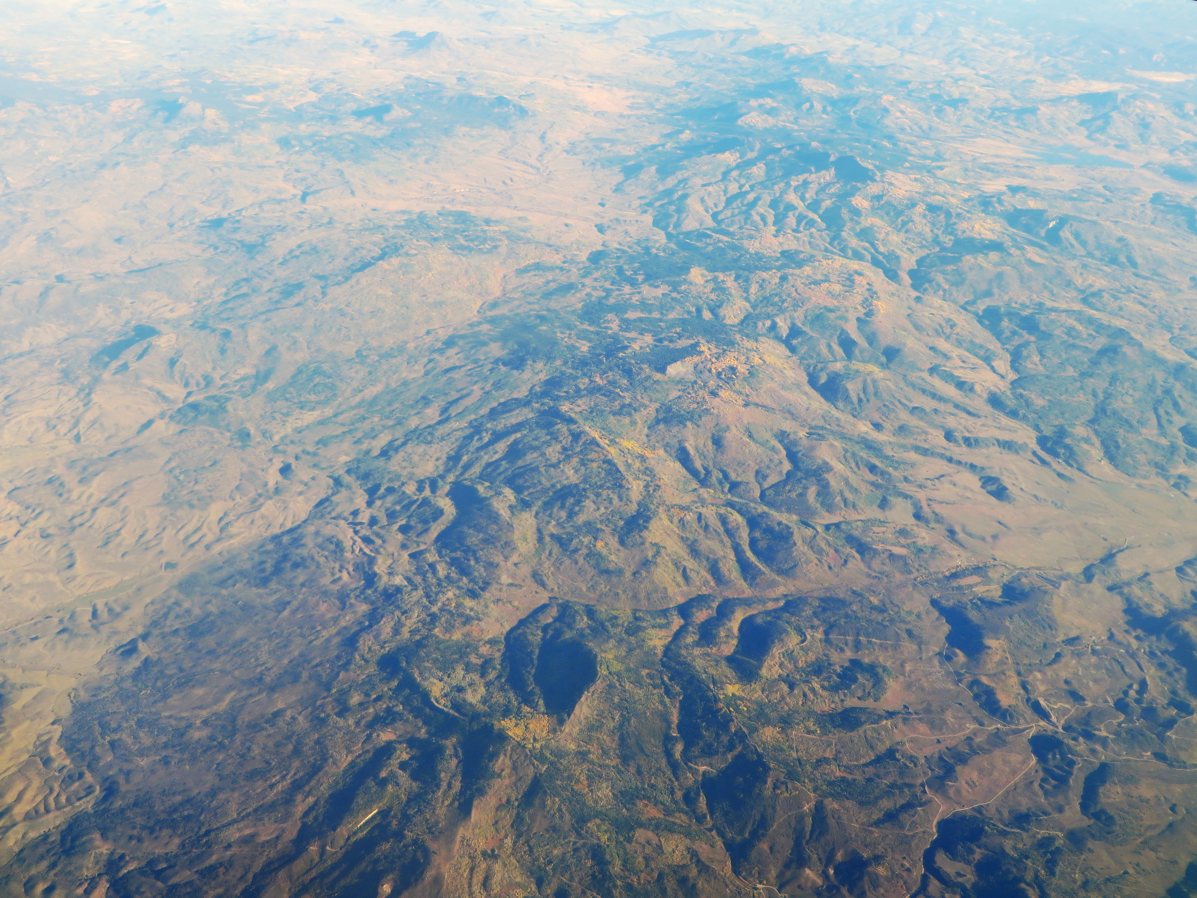
Elkhead Mountains, Colorado

#sky #horizon #flight

Jack at the wheel
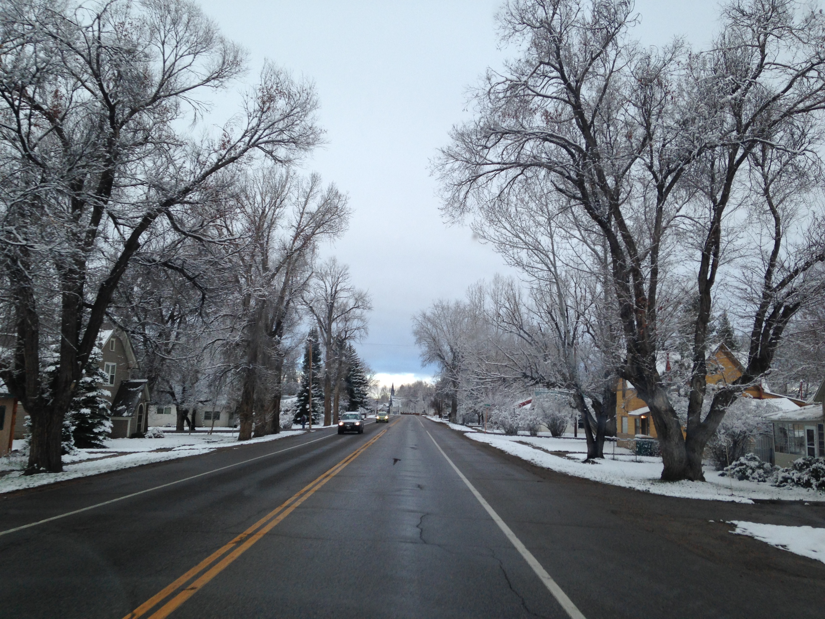
Snowy Morning

Ready to go home

A320 Profile

Busy day at KHDN
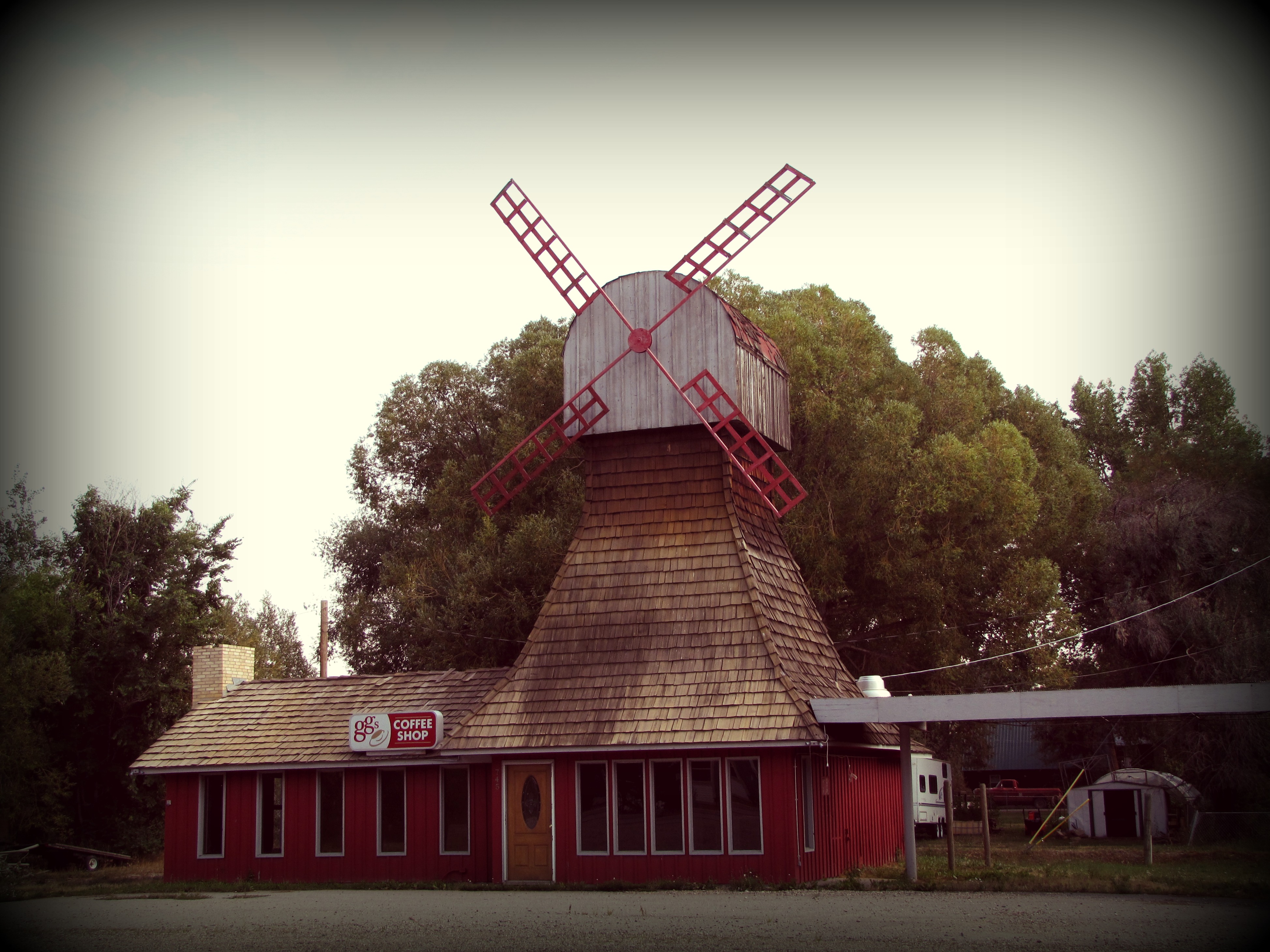
Coffee at the red windmill

#reseviorselfie #fathead #elkhead #familyfuntime

Mountain jumper

Camera Roll-179

Camera Roll-85
Topographic Map of County RD 74A, Hayden, CO, USA
Find elevation by address:

Places near County RD 74A, Hayden, CO, USA:
Elkhead Ranch
1299 W Jefferson Ave
Hayden
871 Dry Creek Rd
871 S Dry Creek Rd
909 S Dry Creek Rd
909 S Dry Creek Rd
Quaker Mountain
US-40, Hayden, CO, USA
Anthracite Ridge
County Road 52w
Routt County
Yampa Valley Electric Association
2050 Girard Ln
Sand Mountain North
Sand Mountain South
Craig
Elkhead Mountains
Co Rd, Steamboat Springs, CO, USA
Co Rd 46, Steamboat Springs, CO, USA
Recent Searches:
- Elevation of Lampiasi St, Sarasota, FL, USA
- Elevation of Elwyn Dr, Roanoke Rapids, NC, USA
- Elevation of Congressional Dr, Stevensville, MD, USA
- Elevation of Bellview Rd, McLean, VA, USA
- Elevation of Stage Island Rd, Chatham, MA, USA
- Elevation of Shibuya Scramble Crossing, 21 Udagawacho, Shibuya City, Tokyo -, Japan
- Elevation of Jadagoniai, Kaunas District Municipality, Lithuania
- Elevation of Pagonija rock, Kranto 7-oji g. 8"N, Kaunas, Lithuania
- Elevation of Co Rd 87, Jamestown, CO, USA
- Elevation of Tenjo, Cundinamarca, Colombia