Elevation of County Rd 16, Georgetown, NY, USA
Location: United States > New York > Chenango County > Otselic > Otselic >
Longitude: -75.754404
Latitude: 42.7174343
Elevation: 463m / 1519feet
Barometric Pressure: 96KPa
Elevation Map:
Satellite Map:
Related Photos:

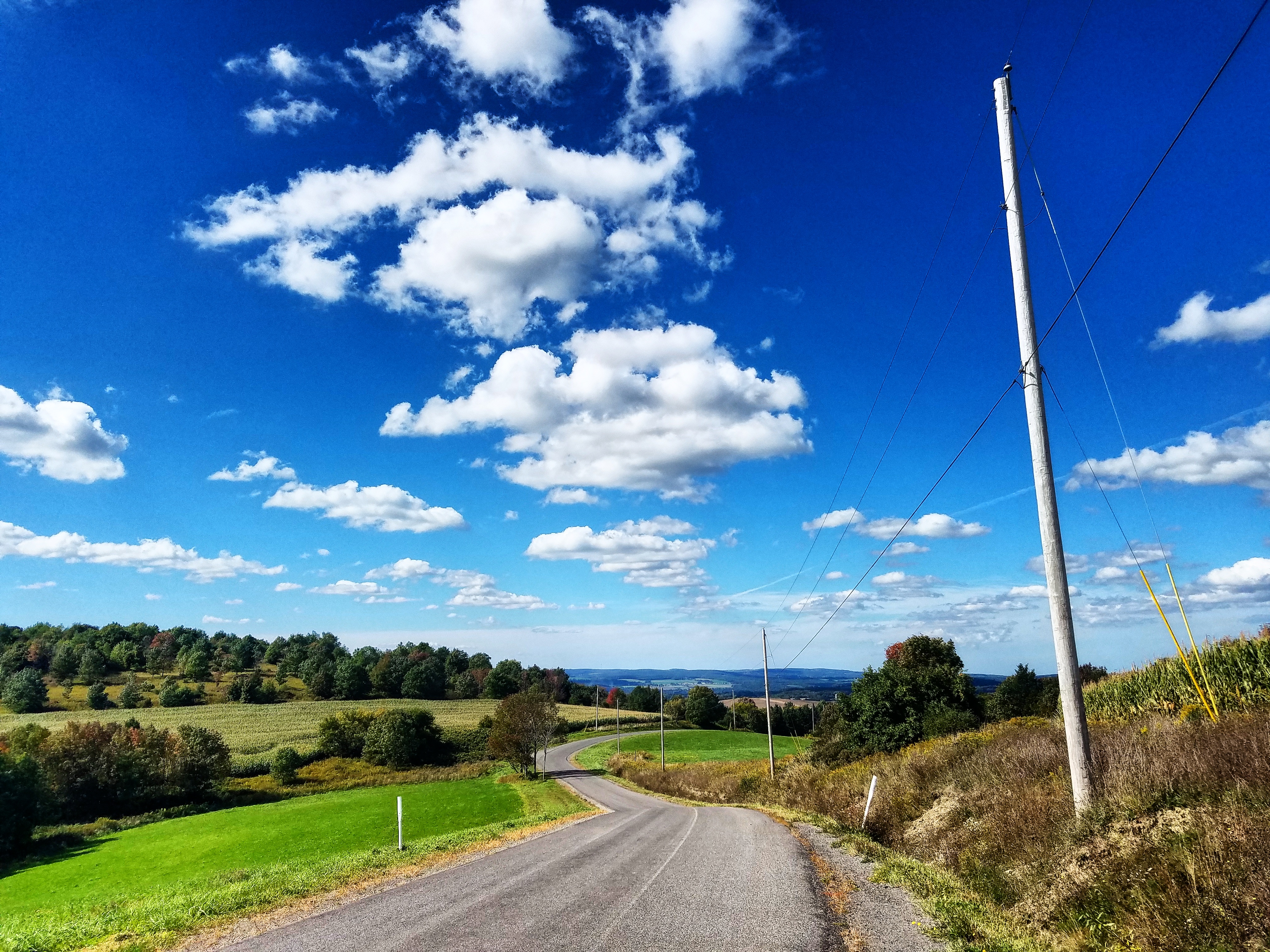
#view from my room #discoverihg #binghamton #southerntier #newyork
Andrew Flynn
Andrew Flynn
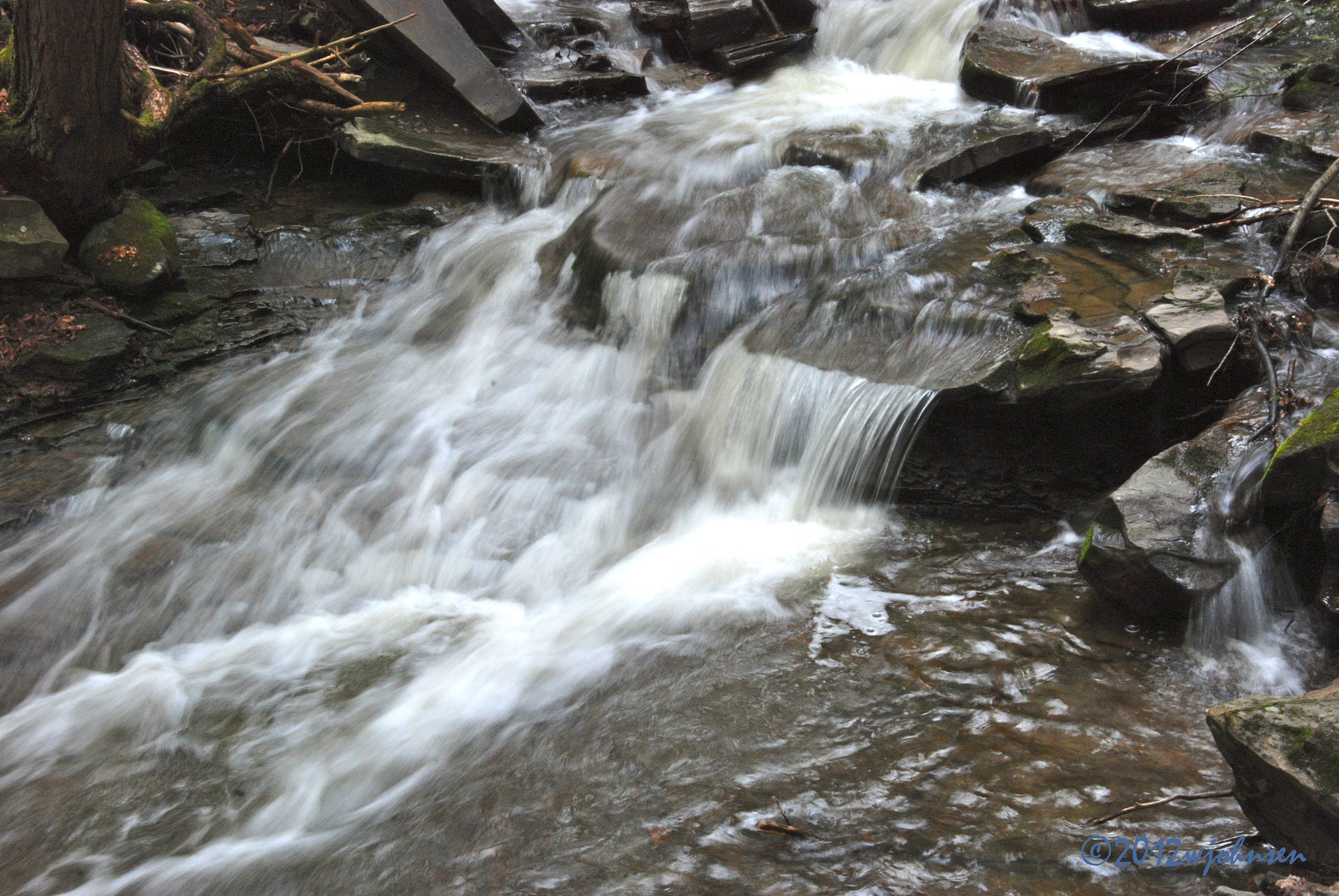
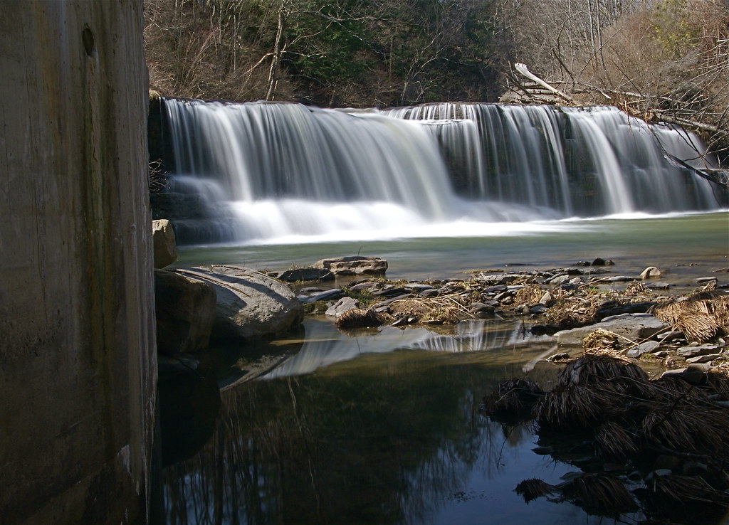
Water Falls near Elmer Jackson Road
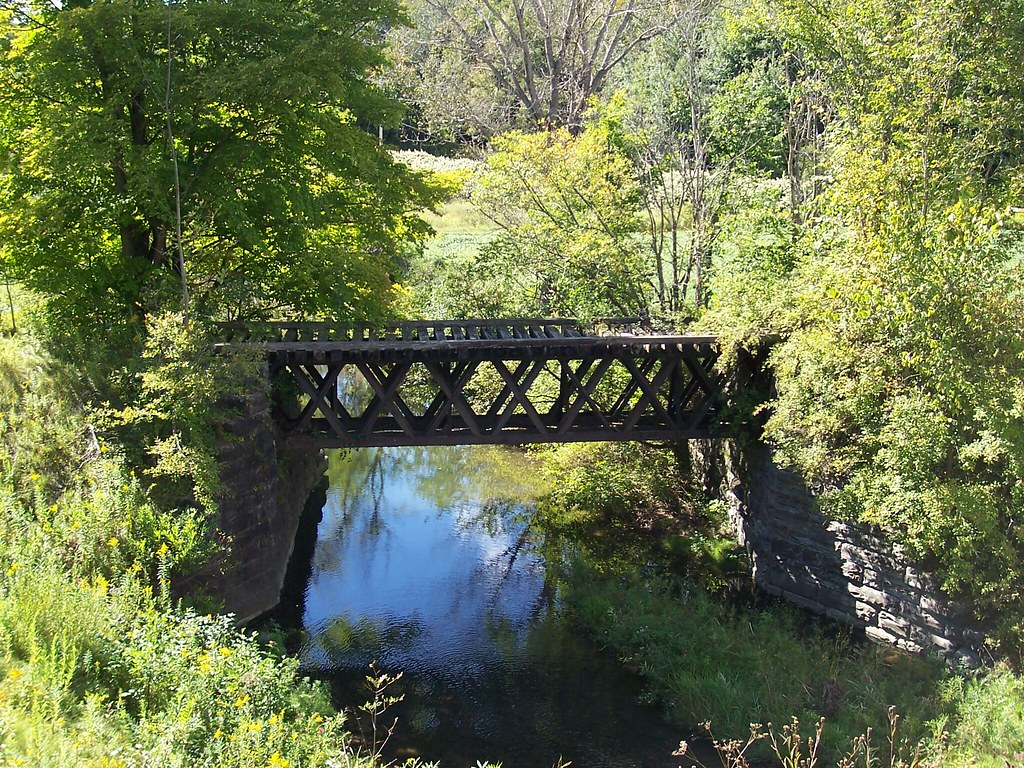
Lehigh Valley RR Bridge, Sheds, NY

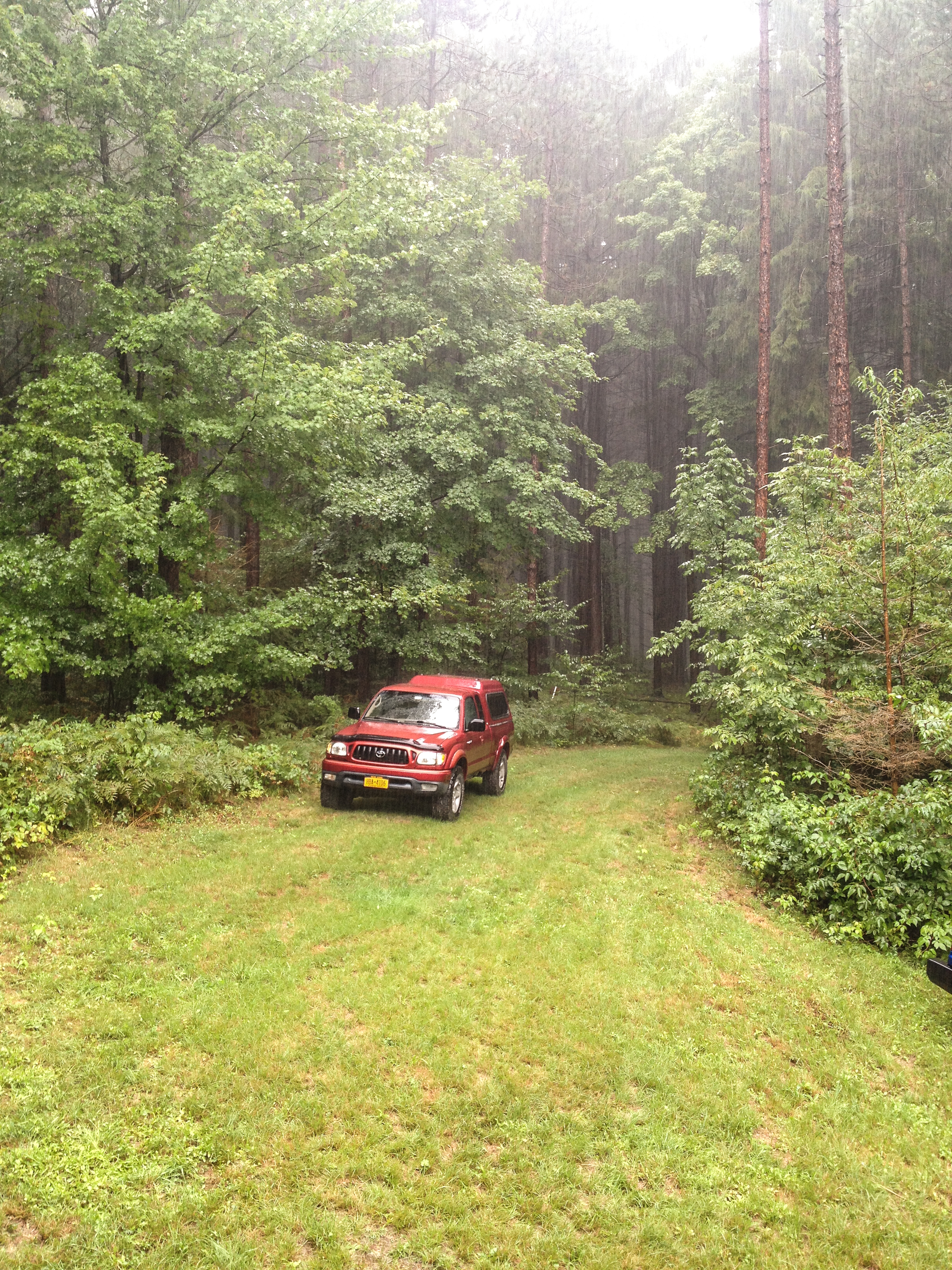
Power of Mother Nature

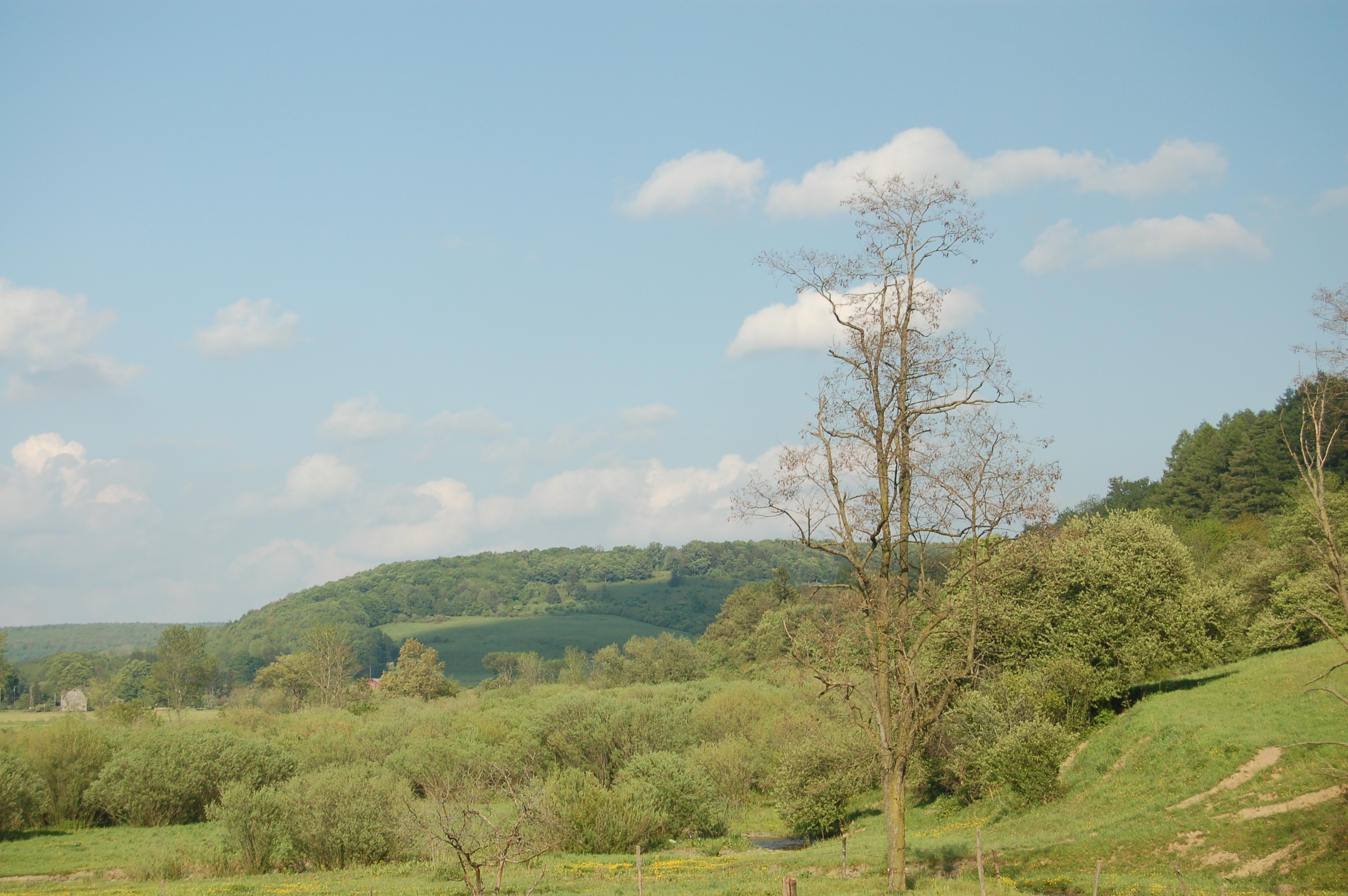
spruce, ii
Under The Bridge At Upperville Falls
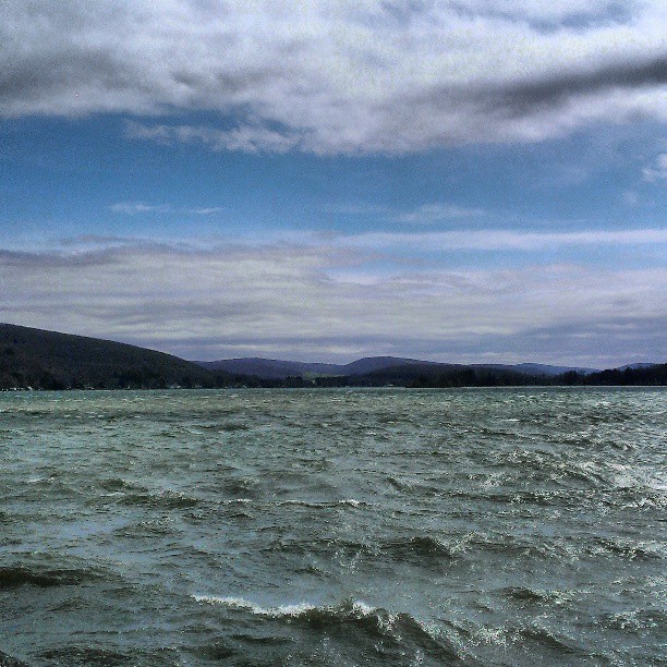
DeRuyter Reservoir #NewYork #upstate #MadisonCounty #skysnappers #skyporn #cloudporn #htcevo4glte #HTC #htcusa #ilovenewyork #landscapelovers

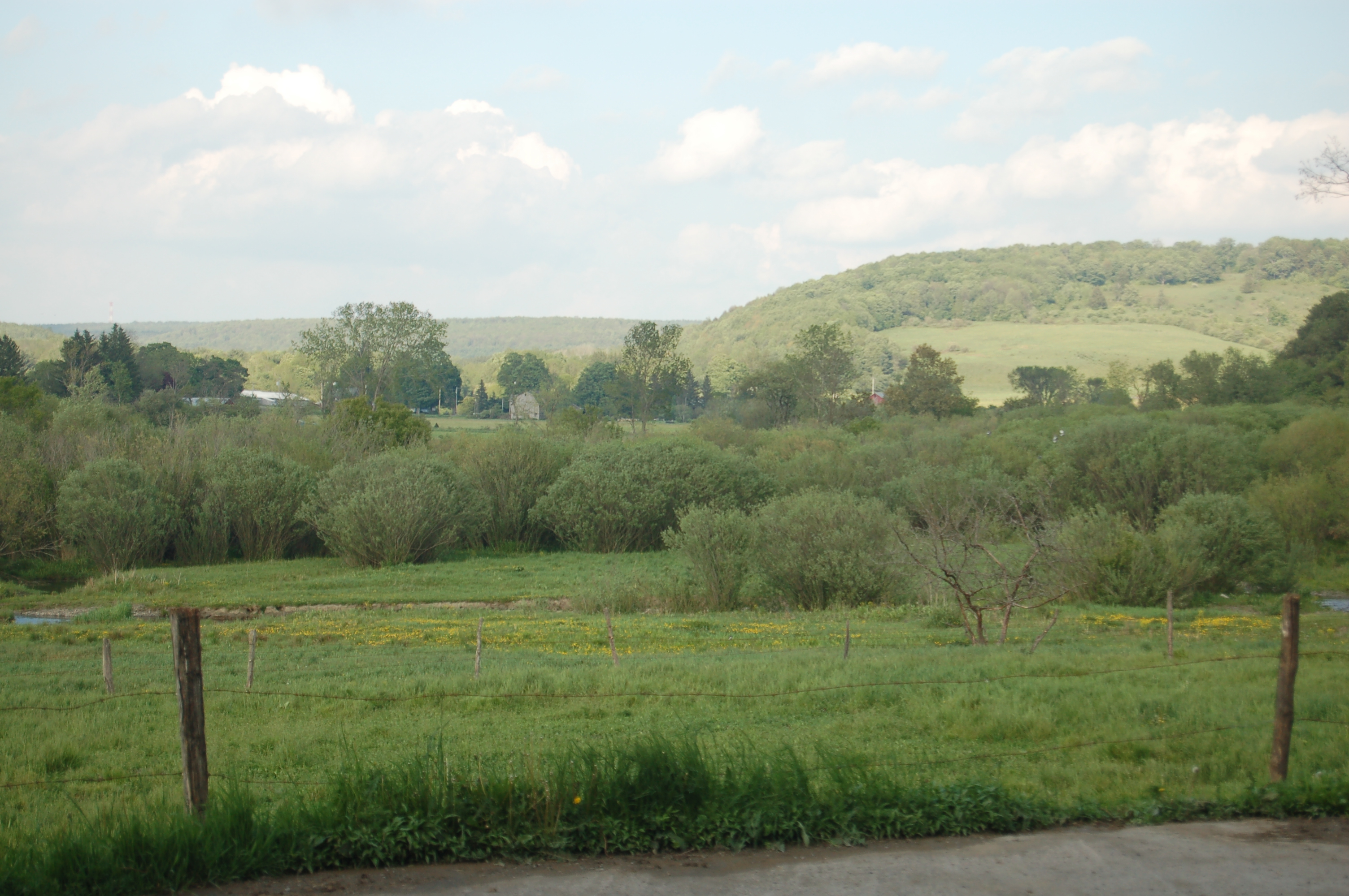
spruce, i

West Shore RR Bridge Abutments
up into Cuyler
Dalton Road Hike 2008
IMG_3944.jpg
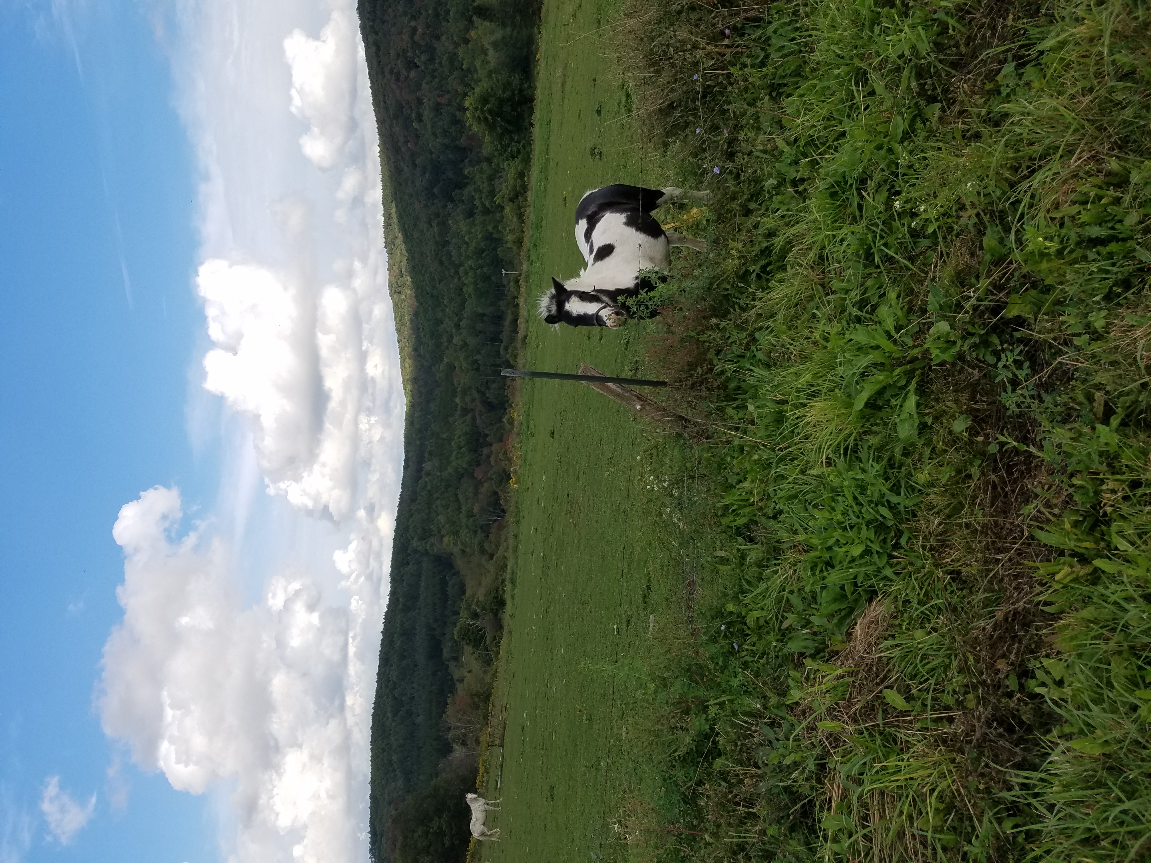
DJ's First Trip to the Farm 147
DJ's First Trip to the Farm 145
DJ Farm May 002
Dj 300

Dj 299
Dj 286
Topographic Map of County Rd 16, Georgetown, NY, USA
Find elevation by address:

Places near County Rd 16, Georgetown, NY, USA:
3086 County Rd 16
2911 Ny-26
Otselic
Georgetown
Georgetown
1606 Chapin Rd
Carpenter Rd, Deruyter, NY, USA
2126 Crumb Hill Rd
S Lebanon Rd, Earlville, NY, USA
Deruyter
2396 Firetower Rd
NY-13, New Woodstock, NY, USA
2479 Erieville Rd
Lebanon
Erieville
2600 Erieville Rd
Deruyter
717 Utica St
E Lake Rd, Deruyter, NY, USA
1637 Cortland St
Recent Searches:
- Elevation of 72-31 Metropolitan Ave, Middle Village, NY, USA
- Elevation of 76 Metropolitan Ave, Brooklyn, NY, USA
- Elevation of Alisal Rd, Solvang, CA, USA
- Elevation of Vista Blvd, Sparks, NV, USA
- Elevation of 15th Ave SE, St. Petersburg, FL, USA
- Elevation of Beall Road, Beall Rd, Florida, USA
- Elevation of Leguwa, Nepal
- Elevation of County Rd, Enterprise, AL, USA
- Elevation of Kolchuginsky District, Vladimir Oblast, Russia
- Elevation of Shustino, Vladimir Oblast, Russia