Elevation of Country Woods Dr, Hillsville, VA, USA
Location: United States > Virginia > Carroll County > Pine Creek >
Longitude: -80.715712
Latitude: 36.8401367
Elevation: 809m / 2654feet
Barometric Pressure: 92KPa
Elevation Map:
Satellite Map:
Related Photos:
Shot Tower Historical State Park, Wythe County (Va.), 4 August 1978
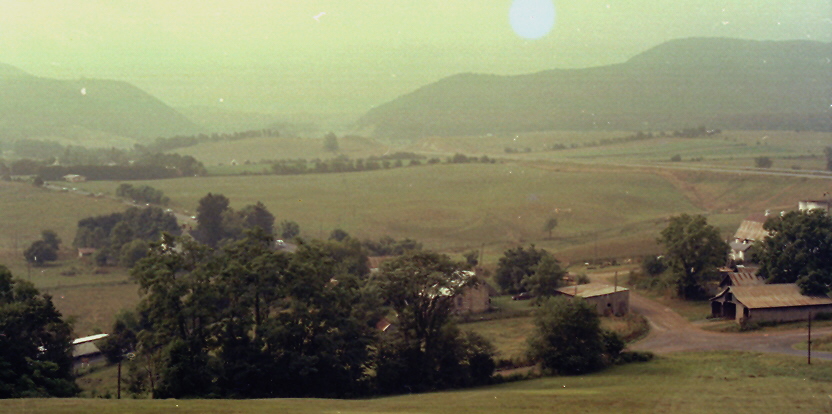
View from Cobb House Bench

Cobb house bench view
1500 ft up. I absolutely love this view! I wish there was a scenic lookout. #coffmanclan
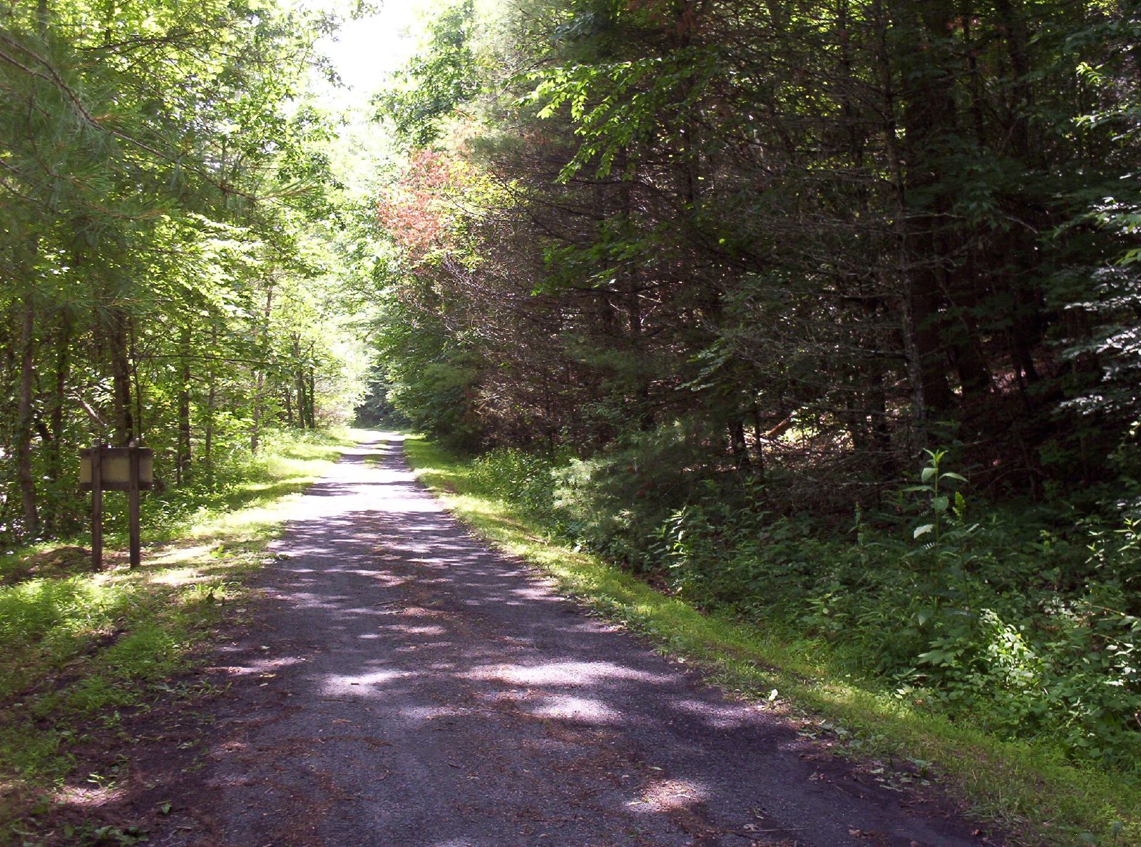
New River Trail State Park
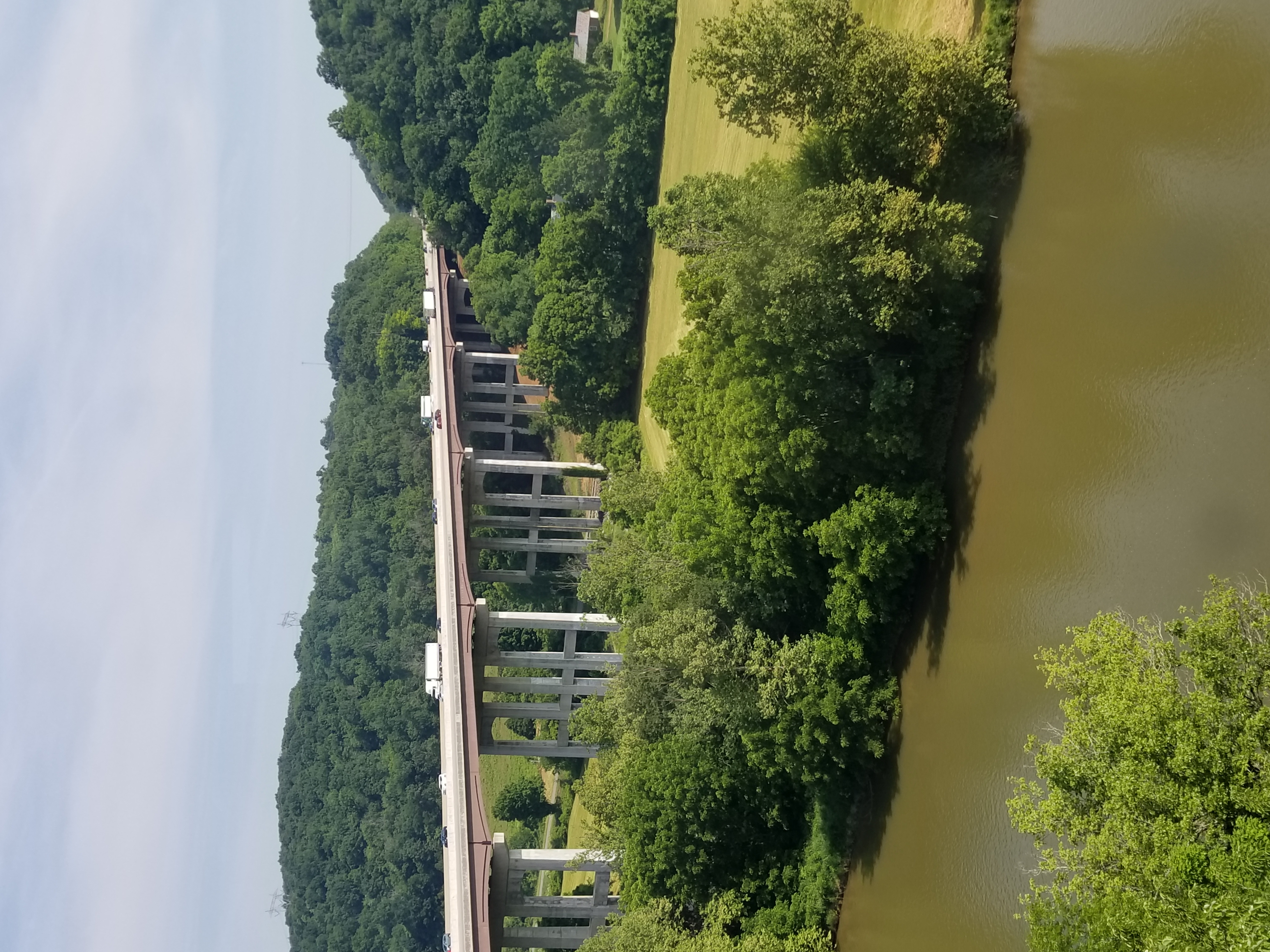
New River Trail State Park
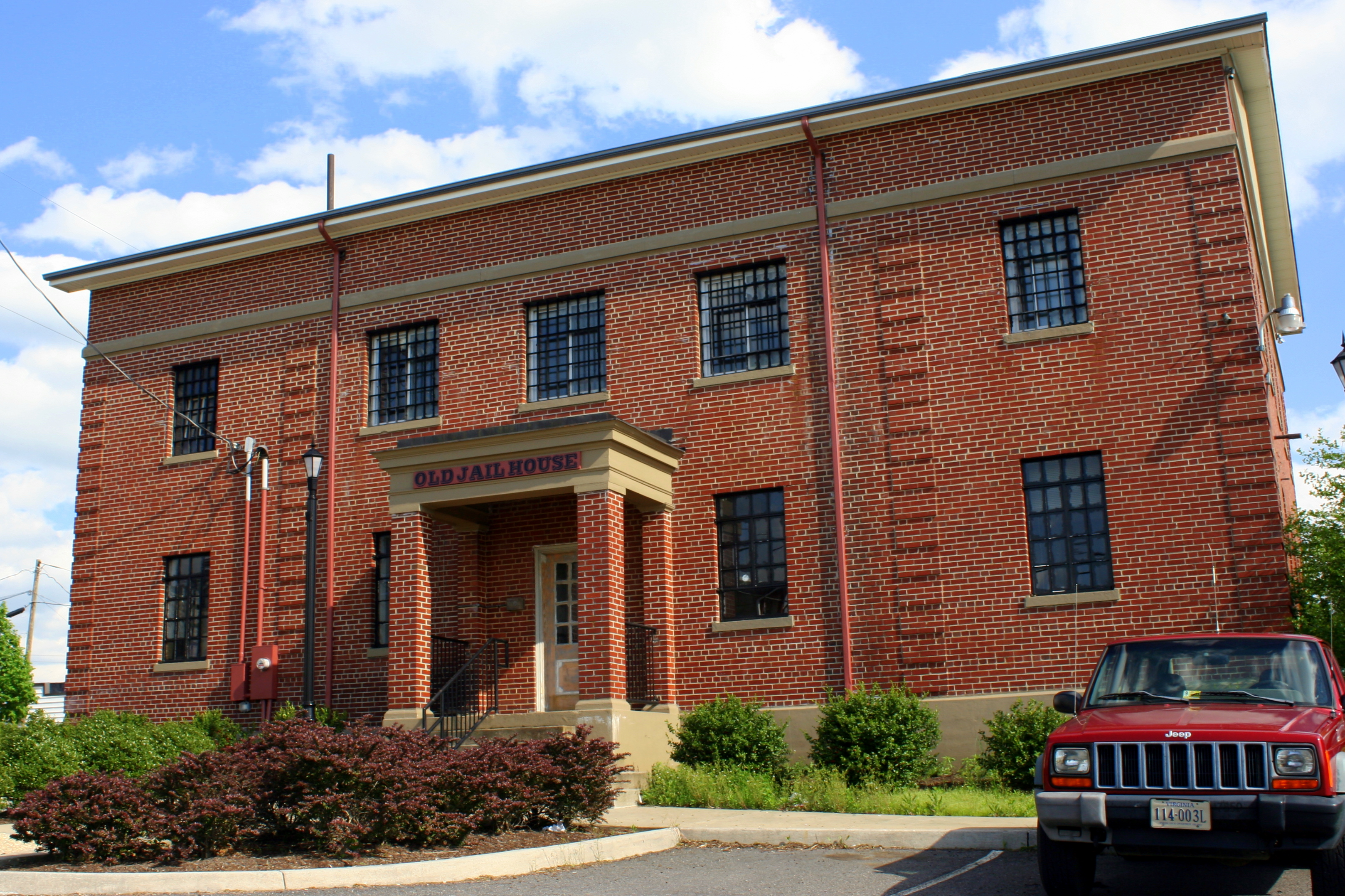
Old Carroll County Jail - Hillsville, VA
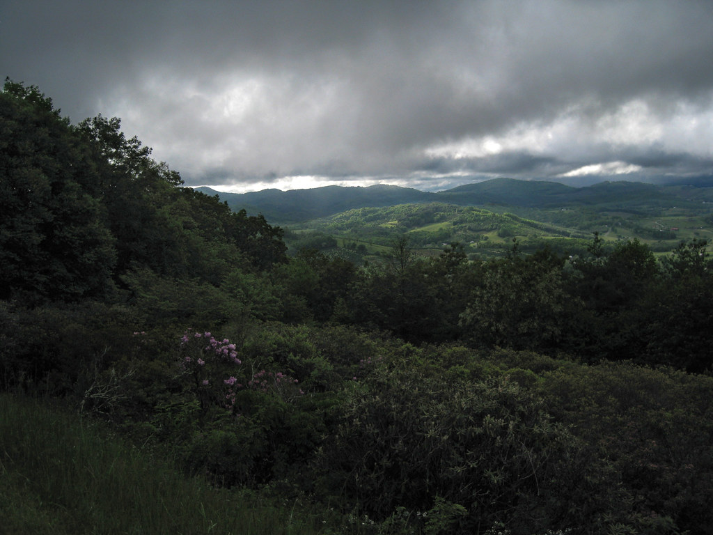
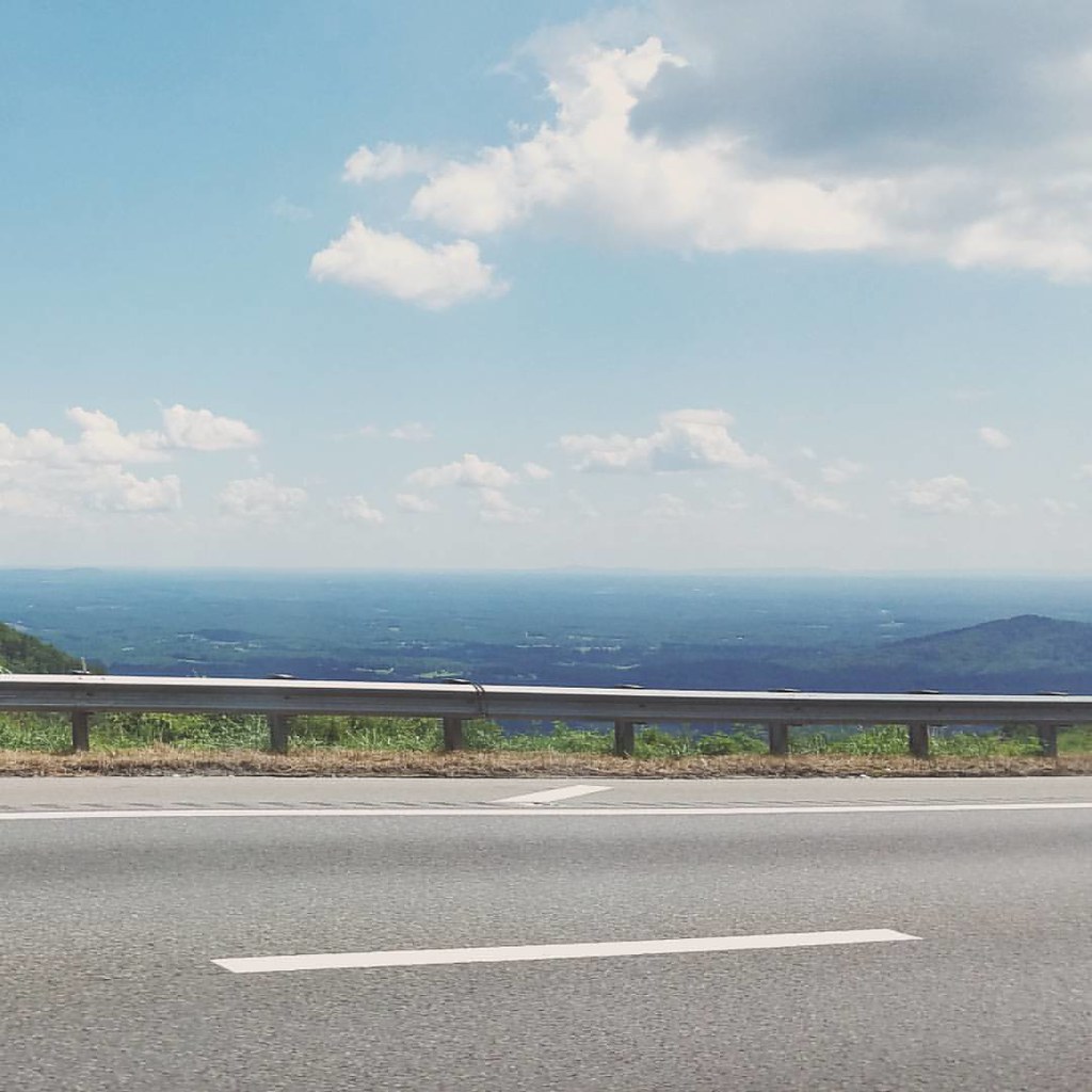
Blue Ridge Parkway View
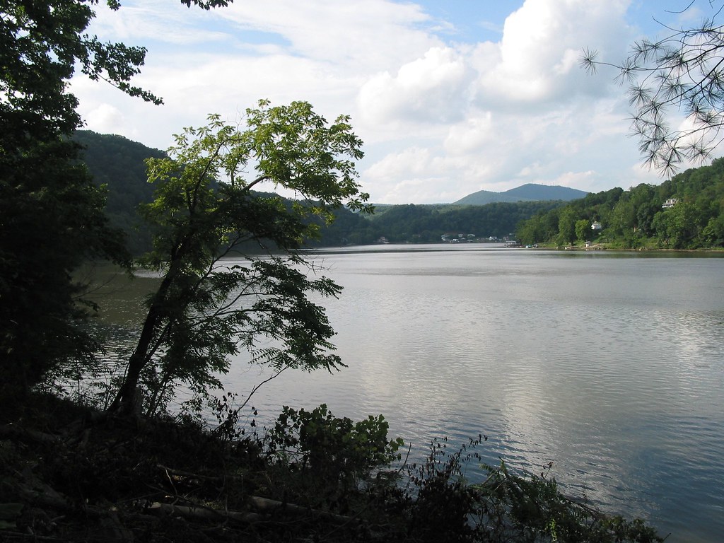
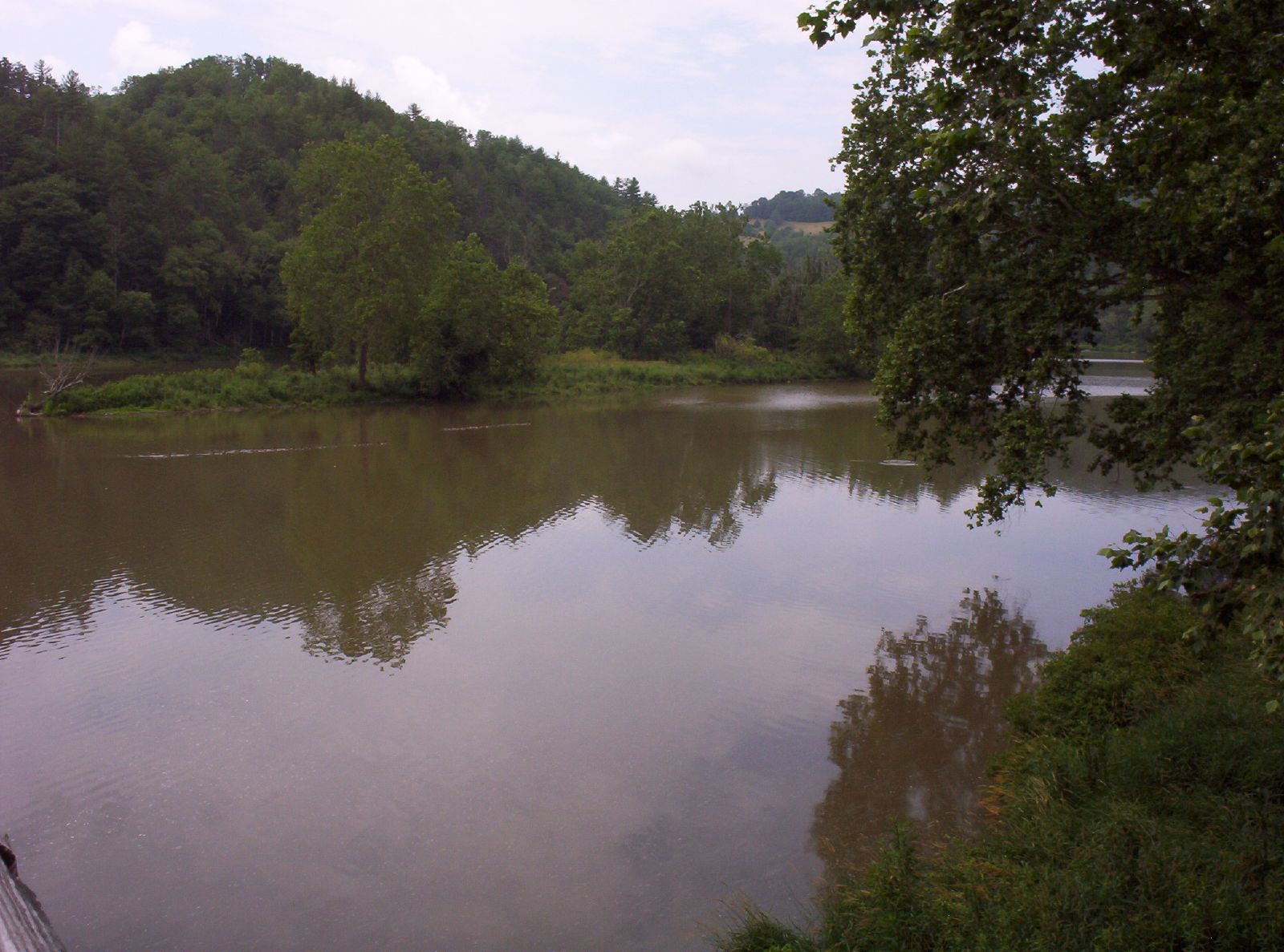
Claytor Lake, Va
New River Trail 030
New River Trail 035

New River Trail 032
New River Trail 004
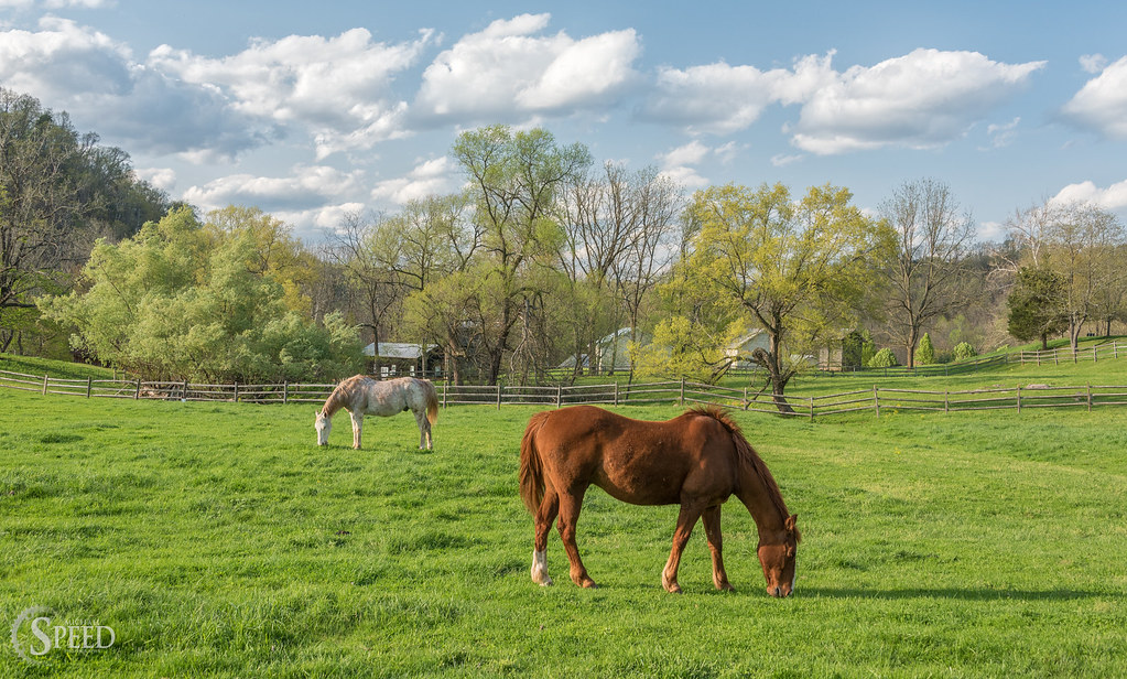
Springtime at Foster Falls Horse Livery
10-NewRiverFosterFalls

Spring is springing on the New River Trail.
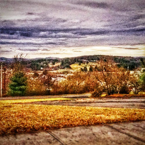
Hillsville, West Virginia. #theroadlesstraveled # landscape
New River Trail 011
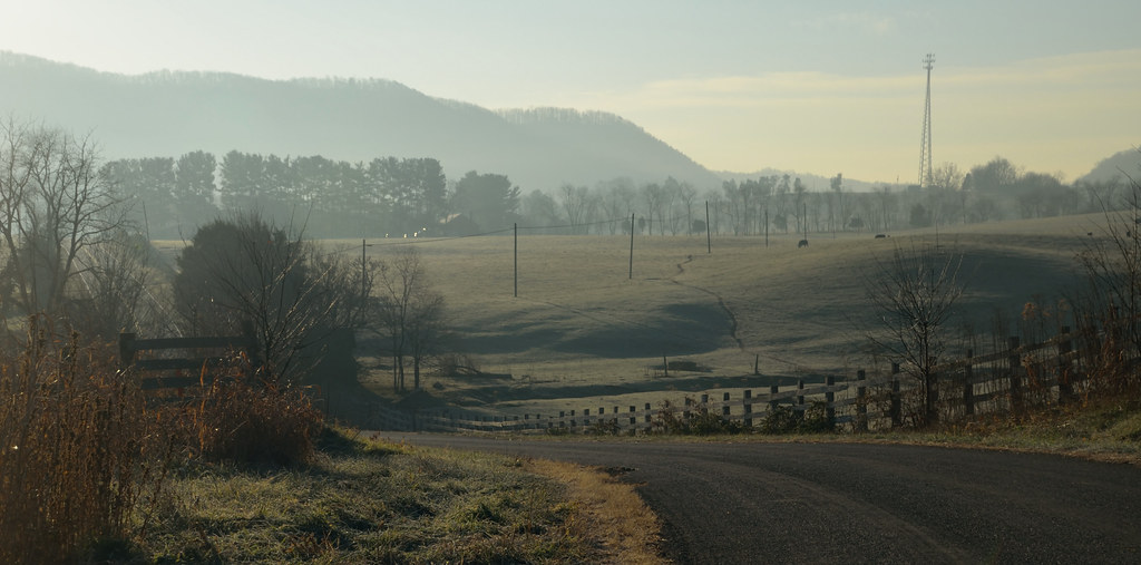
2-FrostyMorningNearShotTower

Big Reed Island Creek Rapids
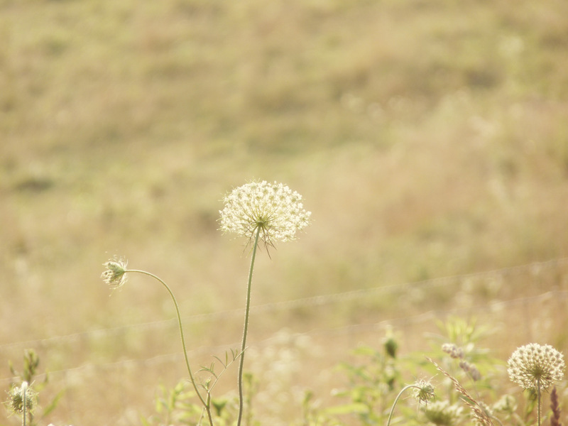
Queen Anne's Lace in the Meadow
New River Trail 025
We went biking on the New River Trail.
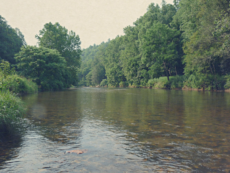
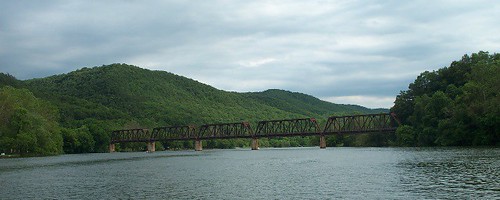
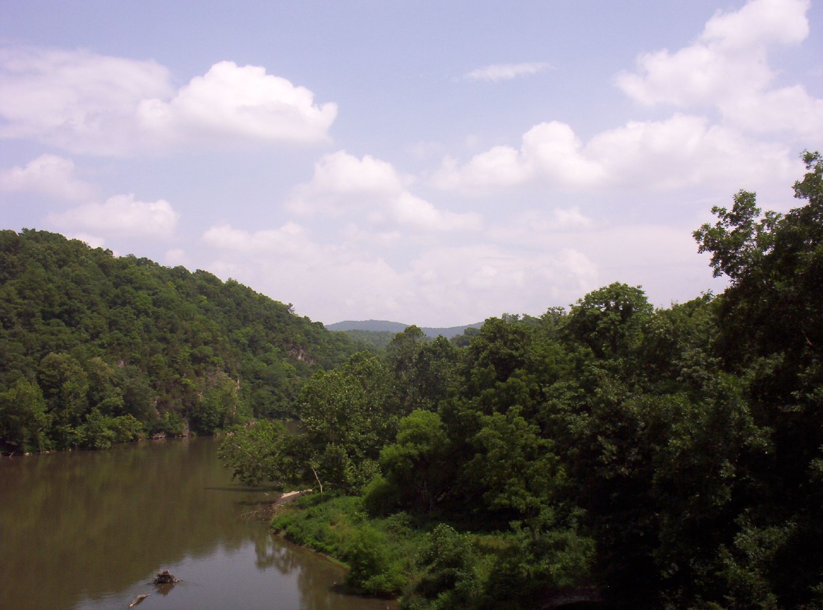
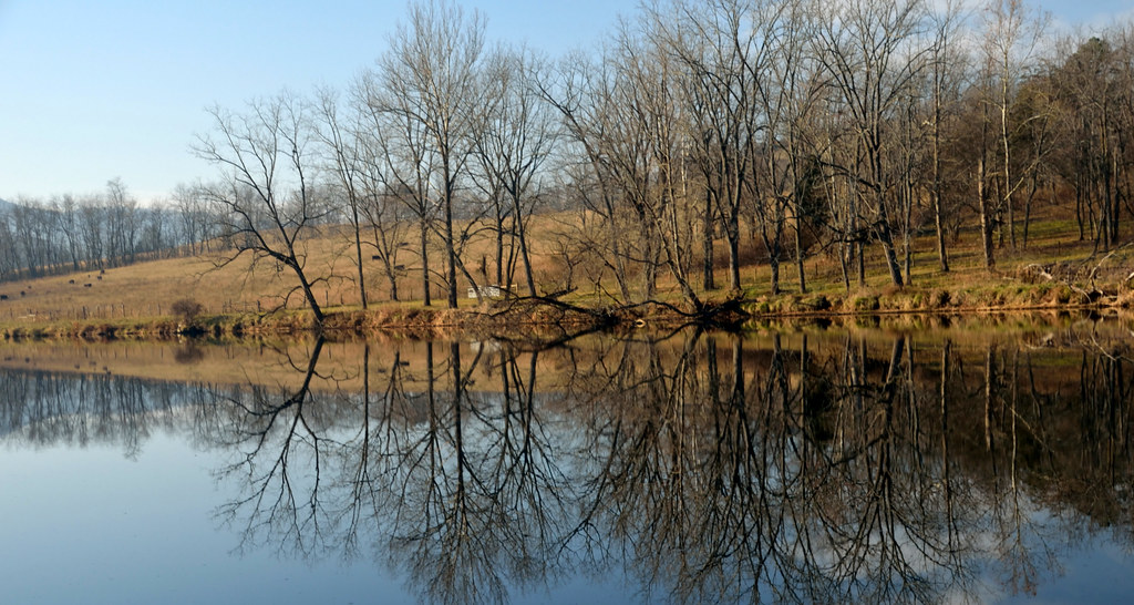
Big Reed River
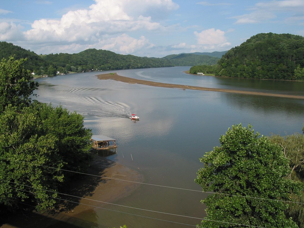
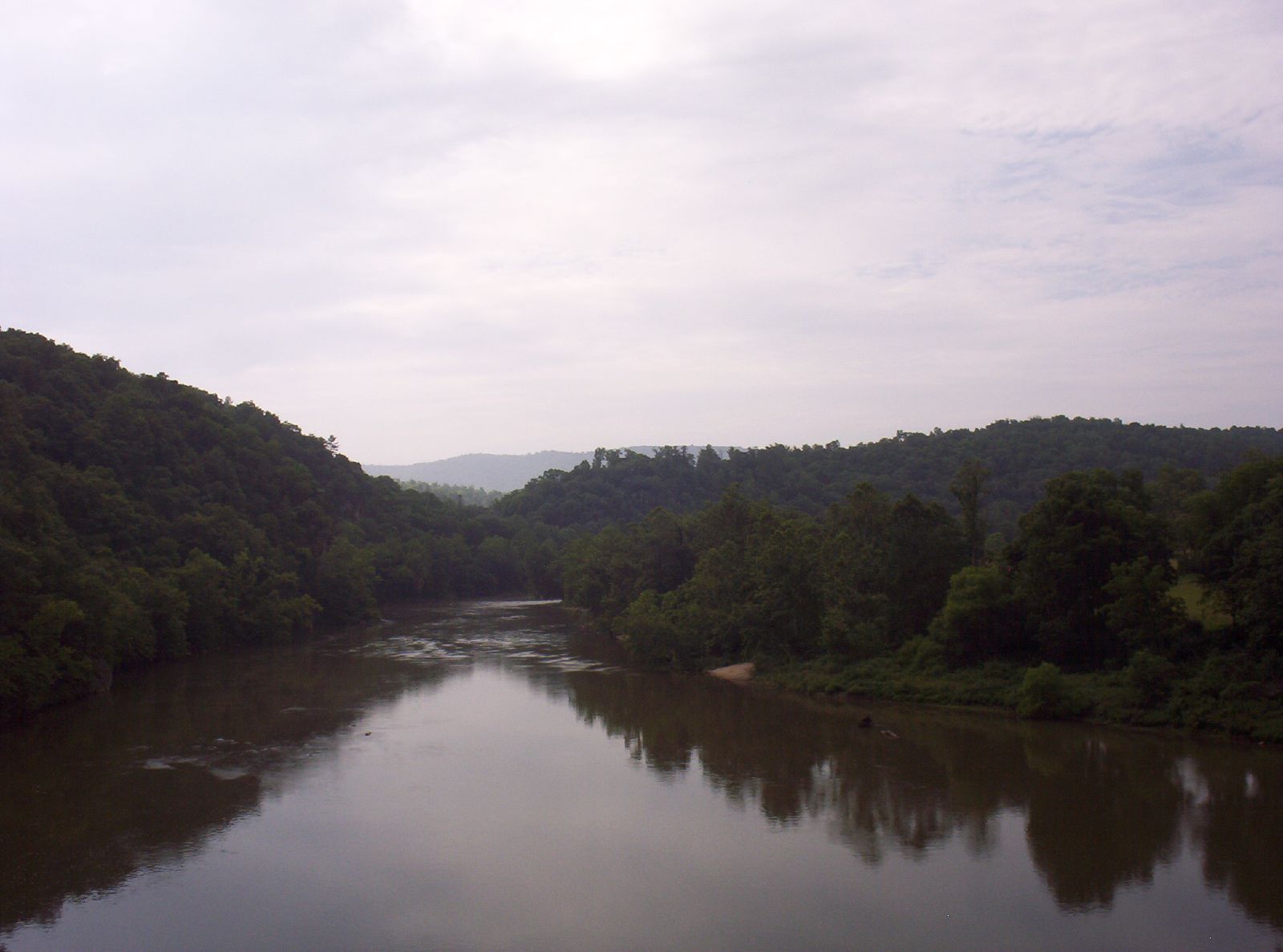
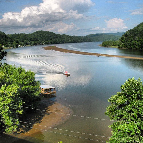
Claytor lake New River with Sandbar
Topographic Map of Country Woods Dr, Hillsville, VA, USA
Find elevation by address:

Places near Country Woods Dr, Hillsville, VA, USA:
371 Country Woods Dr
Moorewood Lane
201 Deer Ridge Rd
Pine Creek
White Town Road
137 Dry Pond Rd
Lovell Road
896 Chestnut Oak Ln
584 Old Wildcat Trail
15 Up The Creek Lane
958 Island Creek Dr
3212 Little Vine Rd
4964 Double Cabin Rd
Sylvatus
Beaver Dam Rd, Hillsville, VA, USA
4000 Dowery Ln
Big Reed Island Creek
805 State Rd 881
547 Farris Mines Rd
61 Wildlife Ln
Recent Searches:
- Elevation of Gateway Blvd SE, Canton, OH, USA
- Elevation of East W.T. Harris Boulevard, E W.T. Harris Blvd, Charlotte, NC, USA
- Elevation of West Sugar Creek, Charlotte, NC, USA
- Elevation of Wayland, NY, USA
- Elevation of Steadfast Ct, Daphne, AL, USA
- Elevation of Lagasgasan, X+CQH, Tiaong, Quezon, Philippines
- Elevation of Rojo Ct, Atascadero, CA, USA
- Elevation of Flagstaff Drive, Flagstaff Dr, North Carolina, USA
- Elevation of Avery Ln, Lakeland, FL, USA
- Elevation of Woolwine, VA, USA