Elevation of Cougar Ridge Road, Cougar Ridge Rd, British Columbia V0R, Canada

Location: Canada > British Columbia > Cowichan Valley > Cowichan Valley B > Shawnigan Lake >

Longitude: -123.63975

Latitude: 48.5806881

Elevation: 288m / 945feet

Barometric Pressure: 98KPa

Elevation Map:

elevation map of Cougar Ridge Road, Cougar Ridge Rd, British Columbia V0R, Canada

Satellite Map:

Satellite map of Cougar Ridge Road, Cougar Ridge Rd, British Columbia V0R, Canada

Related Photos:

Have a wonderful week!
lake canada cowichanvallery
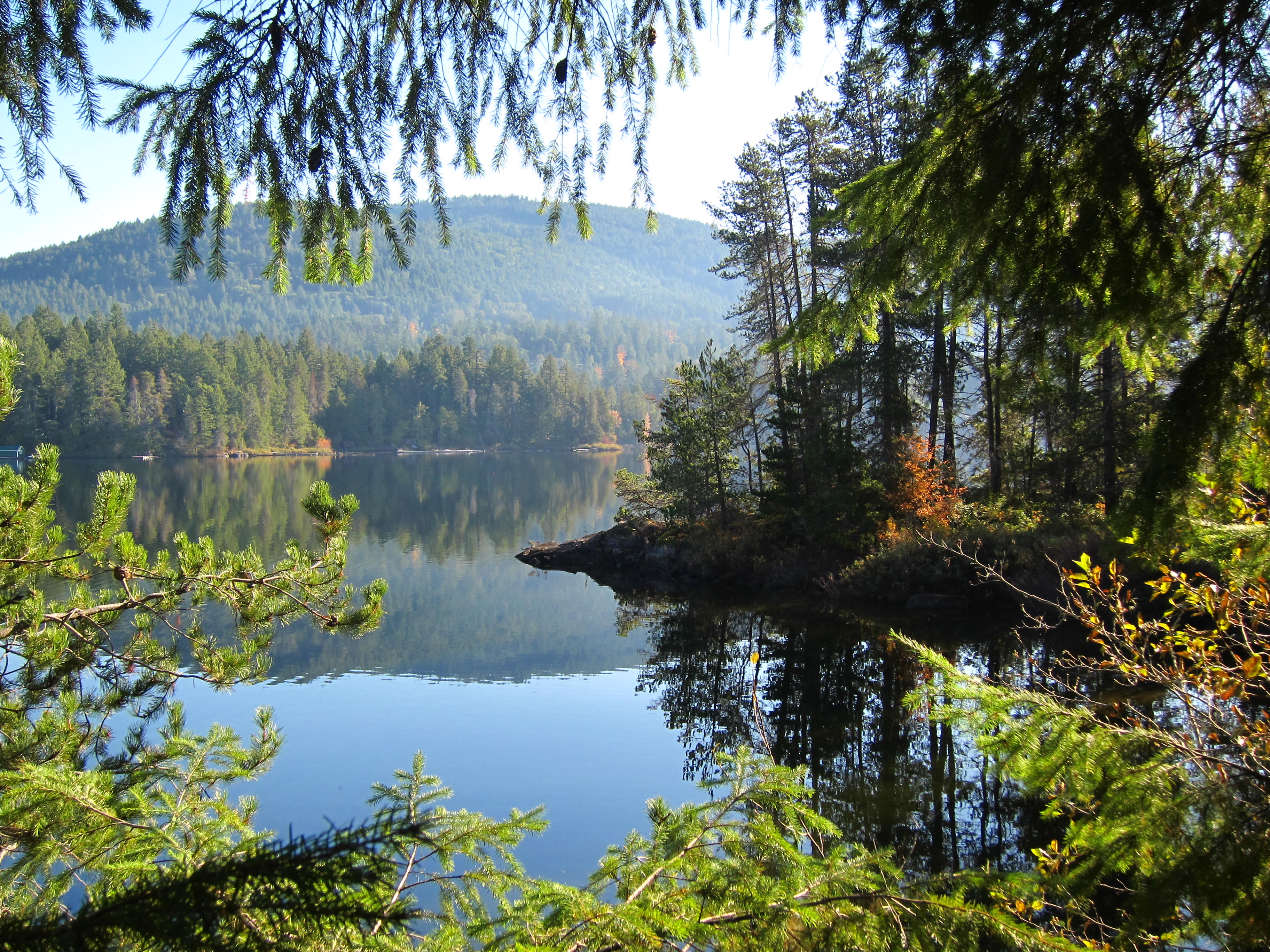
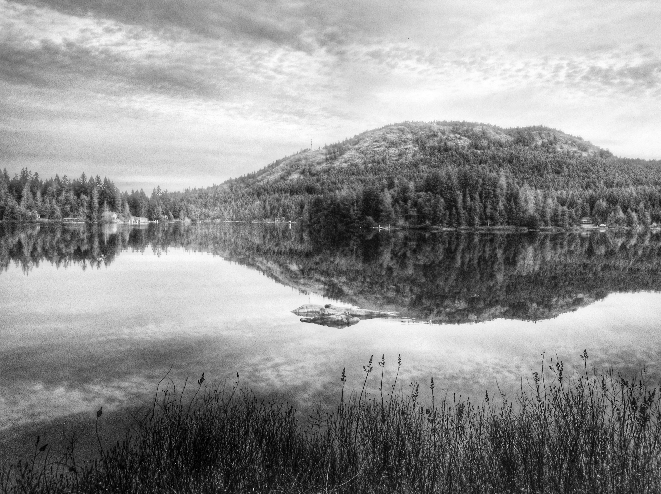
the view from the family cabin
butchartgardensvictoriabritishcolumbia canada flowersgalore gardengatebutchartgardens
Bird's Eye View-Butchart Gardens-Victoria Brithish Columbia-Canada 02492
upak palgate wifi password electronic app private truck road biking fenced gated combination keylock coded walking uturn haul hiking kingzett lake quarry cellphone gopro cycling bicycling malahat bc millbay vancouverisland bamberton park provincial cement plant haulroad trucking storage cowichanvalleyregionaldistrict cvrd cowichan valley regional district yuneec typhoon hexacopter drone aerial misty
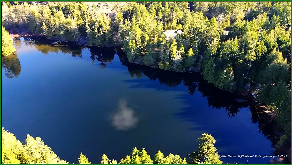
Rat Lake Aerial Drone Pic
malahat skywalk drone mini2 djimini2 zoom camera video aeb aerial photography framegrabs screenshots still images djifc7303 remotely piloted aircraft system rpas transport canada licensed pilot finlayson ocean views sidney vancouverisland bc beautifulbritishcolumbia drones flight flying quadcopters gps glonass galileo ocusync okusync
Skywalk Establishing Shot
malahat finlayson wilds delsol ebikes pedelecs electricassist yuneec hexacopter typhoon typhoonh vancouverisland logging climb hike walking oliphantlake trail roads haulroad trucks viewranger gps tracking routes gopro screenshots framegrabs burley flatbed bike cargo trailer
Oliphant Lake, Vancouver Island
lake reflection canadian vancouverisland pacificnorthwest
Happy Earth Day
fog video exposure foggy skywalk 1080p kinsol aeb malahatchalet food coffee restaurant vancouverisland foodies views inlet arbutus eats uturn finlayson servers hwy1 eatery foody saanich mini2 licensed dji indoordining moonwaterlodge timber systems telephoto handheld wuhan cellphones drone microbiologist quadcopter sucharit bhakdi covidseating closed gated djifc7303
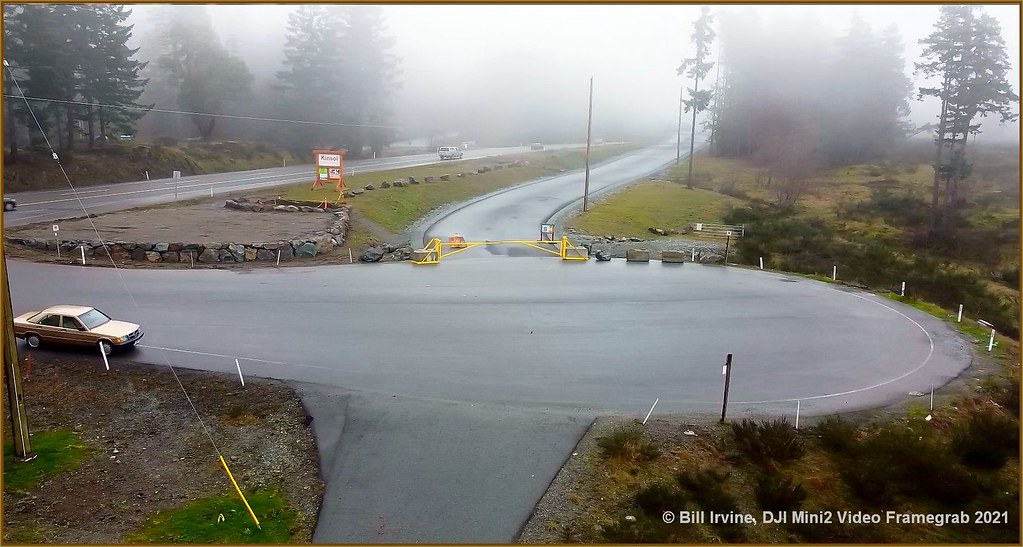
Malahat Skywalk Hwy-1 Connector
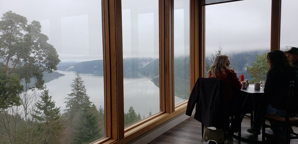
skywalk kinsol foggy fog 1080p video aeb exposure malahatchalet dji moonwaterlodge restaurant eatery eats food foodies foody coffee licensed hwy1 uturn views vancouverisland finlayson saanich mini2 inlet arbutus servers indoordining covidseating wuhan sucharit bhakdi microbiologist cellphones telephoto drone handheld timber systems quadcopter
Malahat On-the-deck
douglasmagazinecom devereuxlake thegreattrail vispine forest elkingtonpark malahat transcanada canadatrail tct winderness sooke sookehills ericelkingtonpark greattrail shawnigan dji mini2 shawniganlake sentier transcanadien walking vancouverislandspine hiking trails railtrails vancouverisland bc trailhead trailway noname goldstreamheights wrigglesworth wrigglesworthlake watershed capitalregionaldistrict crd cvrd cowichanvalleyregionaldistrict finlaysonview wigglesworth
Wrigglesworth Lake 2
drones typhoon cityoflangford capitalregionaldistrict crd stewyoung westhills trails kiking biking humpback reservoir en railway cellphones powerlines westhillsparkway dedicated cycling crossing xing harlequinpark
Goldstream Village Aerial View
lake claunch72film muirlens
The view from our cabin
malahat transcanada canadatrail tct winderness sooke sookehills ericelkingtonpark greattrail shawnigan dji mini2 shawniganlake sentier transcanadien walking screenshot framegrab vancouverislandspine hiking trails railtrails vancouverisland bc trailhead trailway noname goldstreamheights wrigglesworth wrigglesworthlake watershed capitalregionaldistrict crd cvrd
Drone View Wrigglesworth Lake
malahat skywalk drone mini2 djimini2 zoom camera video aeb aerial photography framegrabs screenshots still images djifc7303 remotely piloted aircraft system rpas transport canada licensed pilot finlayson ocean views sidney vancouverisland bc monolith
Malahat Skywalk Aerial Drone
malahat finlayson bearspray wilds delsol ebikes pedelecs electricassist yuneec hexacopter typhoon typhoonh vancouverisland logging climb hike walking oliphantlake trail roads haulroad trucks viewranger gps tracking routes gopro screenshots framegrabs flatbed bike cargo trailer flatbedbikecargotrailer
Oliphant Lake route
goldstreamvillage goldstream westshore japangulch esquimal nanaimo google earth kettlecreek cityoflangford capitalregionaldistrict crd stewyoung westhills trails kiking biking humpback reservoir en railway cellphones powerlines westhillsparkway dedicated cycling crossing xing viewranger harlequinpark langford lake landing
Harlequin Park view of Kettle Creek Station housing
lake island cabin shawniganlake
The view from our cabin
thoughts on 2 EUWI
lake canada fog bc vancouverisland
The view from our cabin series
lake reflection vancouverisland hdr victoriabc shawniganlake
The view from our cabin
gulfislands malahat finlayson saanichpeninsula climb hike walking oliphantlake trail road haulroad trucks
Morning Hike
autumn fall painting ferns landscape autumnlandscape falllandscape scenicview autumnscene colorful pacificnorthwestlandscapes vancouverislandlandscapes sandyhillphotography
AUTUMN TRAIL
landscape landscapephotography duncan duncanbc cobblehill cowichanvalley cowichan clouds canada bc britishcolumbia blackandwhite bw lake douganlake water tree rural trees mist reflections reflection ripple
Mist on the lake
Butchard Gardens Vancouver Island British Colombia Canada-21a
blue winter sunset mist canada weather fog landscape day bc farm vancouverisland sidney
Misty farm [Explored]
tags brotherston mcminn highlands savemarylake donate districtofhighlands conservancy preserve walking guided tours bobmcminn peter octogenarian 1998 1772 millstream finlaysonarm panorams shares ownership land lake rivers streams creeks forest mayor marylakenaturesanctuary sanctuary greatervictoriagreenbeltsociety greenbelt society crd capitalregionaldistrict vancouverisland views 60k 60000 reflections marylake
Mary Lake (66.7k views)
landscape summer colorimage colourimage dawn environmental exterior landscapephotography morning sky sunrise water cowichanvalley britishcolumbia canada
Malahat dawn
green trees forest canada vancouverisland nikon vivid landscape woods oldgrowth highres hd
Old Forest Green
goldstream goldstreampark goldstreamprovincialpark colwood vancouverisland bc britishcolumbia canada sony sonya7m2 a7m2 landscape landscapephotography longexposure longexposures water waterfall moss green fern ferns tree trees
Goldstream hidden falls (in explore 24-01-2018)
kapoor koksilah vancouverisland
Along the Koksilah River
water waterfall millbay millbaybc bc britishcolumbia blackandwhite bw cowichanvalley cowichan canada sony sonya7r3 sony1635f28gm polarpro longexposure longexposures stonework stonebridge landscape landscapephotography fern ferns
Stone Bridge Falls
butchartgardens coth5
Butchart Gardens
Sunlight breaks
autumn colors autumncolors sunshine sunny sun paths colorful warm fall scenic landscape sunrays
A RAY OF SUNSHINE
brentwoodbay britishcolumbia canada ca
Butchard Gardens Vancouver Island British Colombia Canada-15
erniedickey travel treastle sharevi vancouverisland canada britishcolumbia landscape goldstream discoverbc
Arbutus Canyon Trestle Goldstream Park
erniedickey travel treastle sharevi vancouverisland canada britishcolumbia landscape goldstream discoverbc
Arbutus Canyon Trestle Goldstream Park
landscape seascape moon moonrise supermoon mtbaker cherrypoint vancouverisland
Mt Baker moonrise
bridge britishcolumbia creek landscape millbay reflections shawnigancreek stonebridge vancouverisland
Stone Bridge
millbay millbaybc cobblehill cowichanvalley cowichan vancouverisland bc britishcolumbia canada snow tree lonetree lonely alone sony sonya7m2 a7m2 sigma70200mm landscape landscapephotography minimalist
Alone in the snow
park trees light canada rainforest bc gimp victoria rawtherapee
Gowlland Tod Provincial Park