Elevation of Cottonwood Pass, California, USA
Location: United States > California > Tulare County >
Longitude: -118.21508
Latitude: 36.4529917
Elevation: 3391m / 11125feet
Barometric Pressure: 67KPa
Elevation Map:
Satellite Map:
Related Photos:
Lone Pine Lake
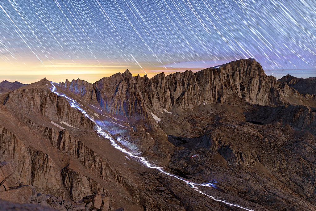
The Mt. Whitney Night Photography Extravaganza

"Accelerated Moments" Timelapse Montage Released!
No Limits
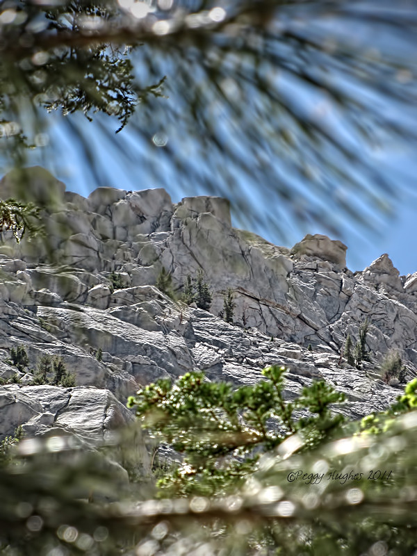
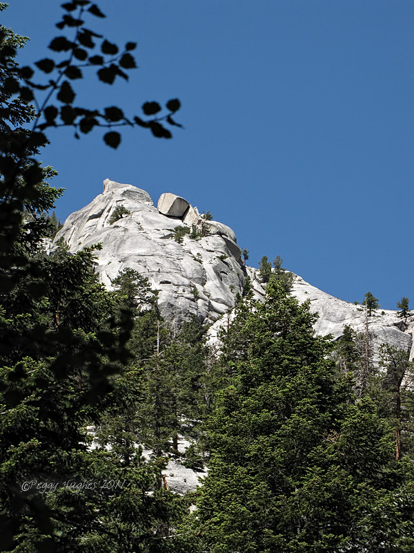
mountain view
Mountain view
mountain view
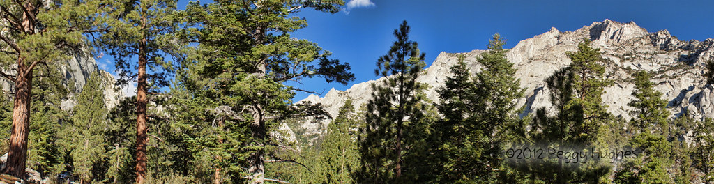
more views of Mt. Whitney
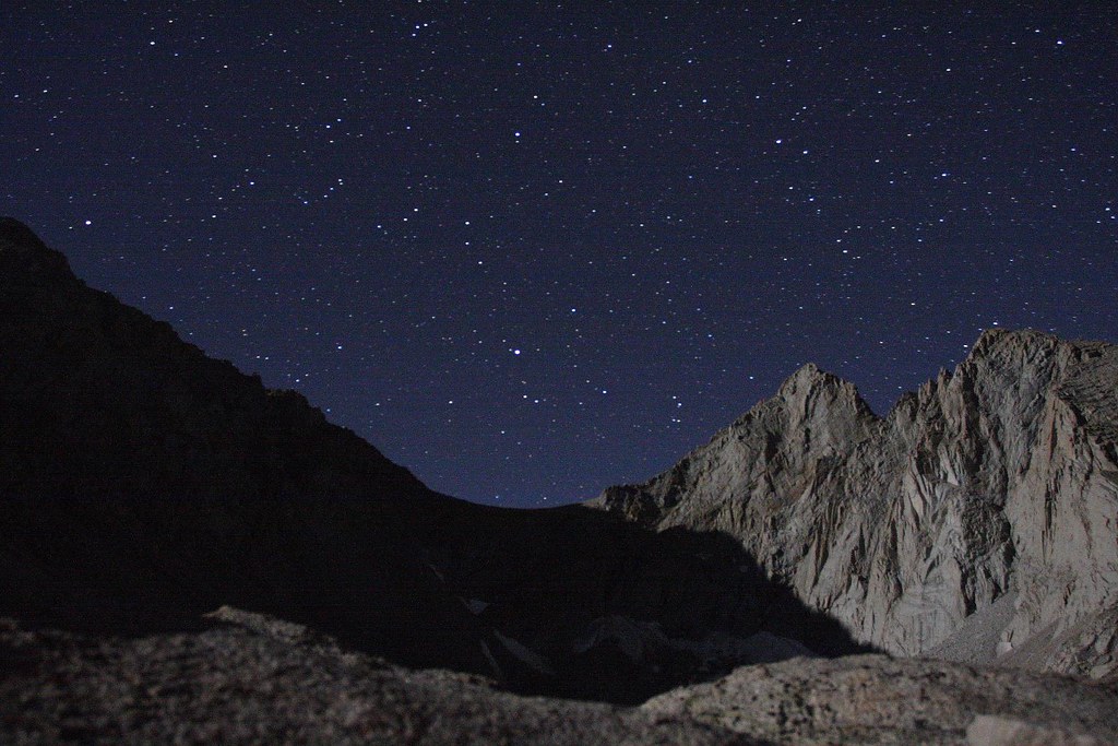
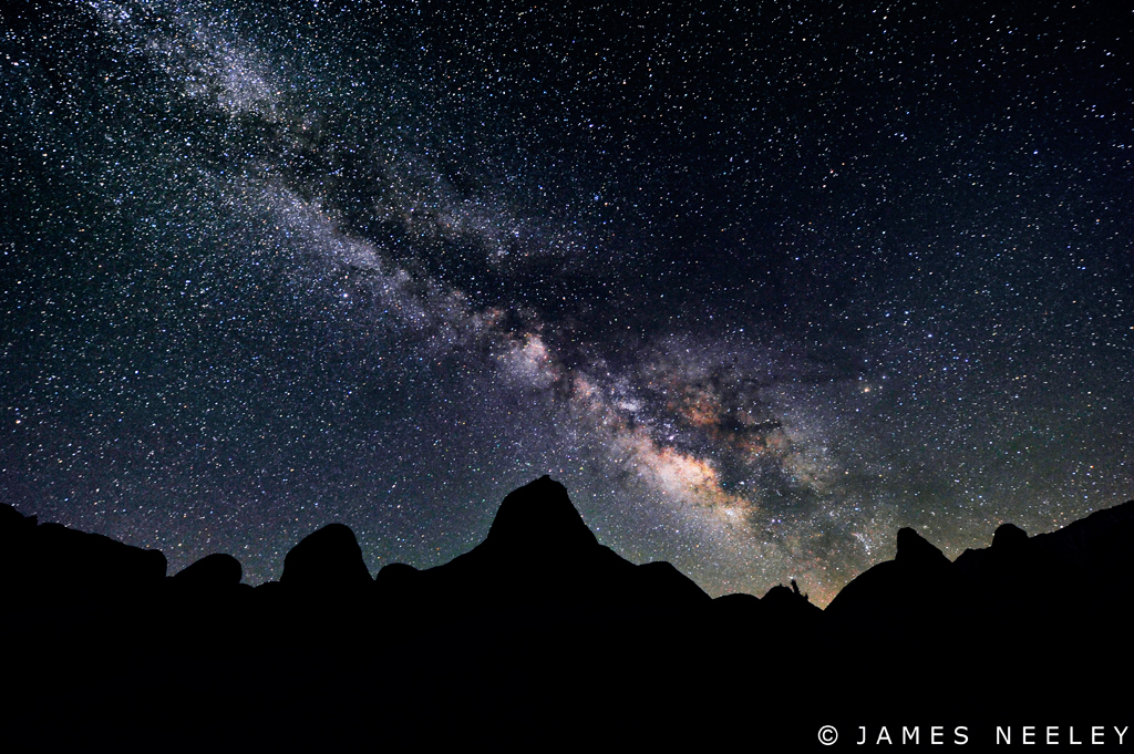
Stars and Moonlit Peaks [121406] *Explored*
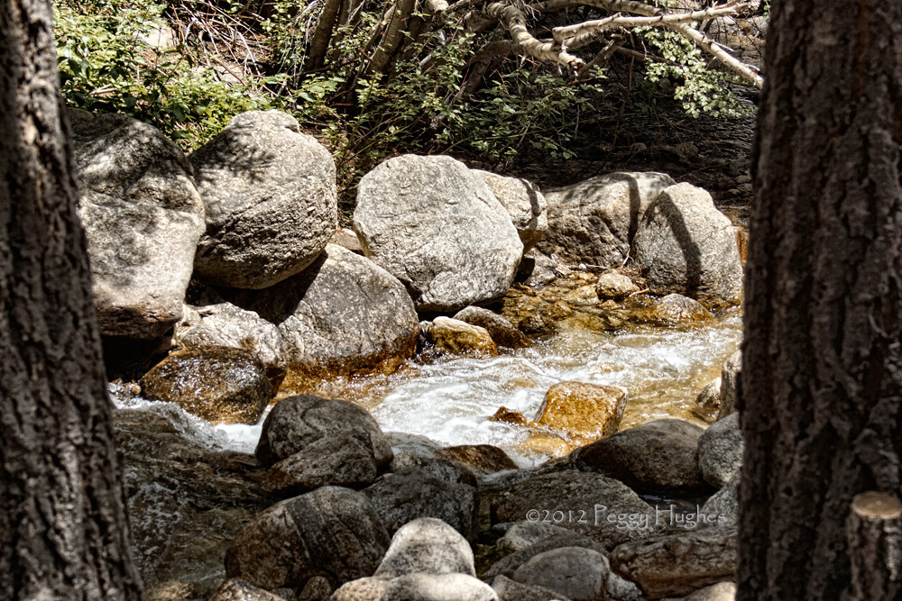
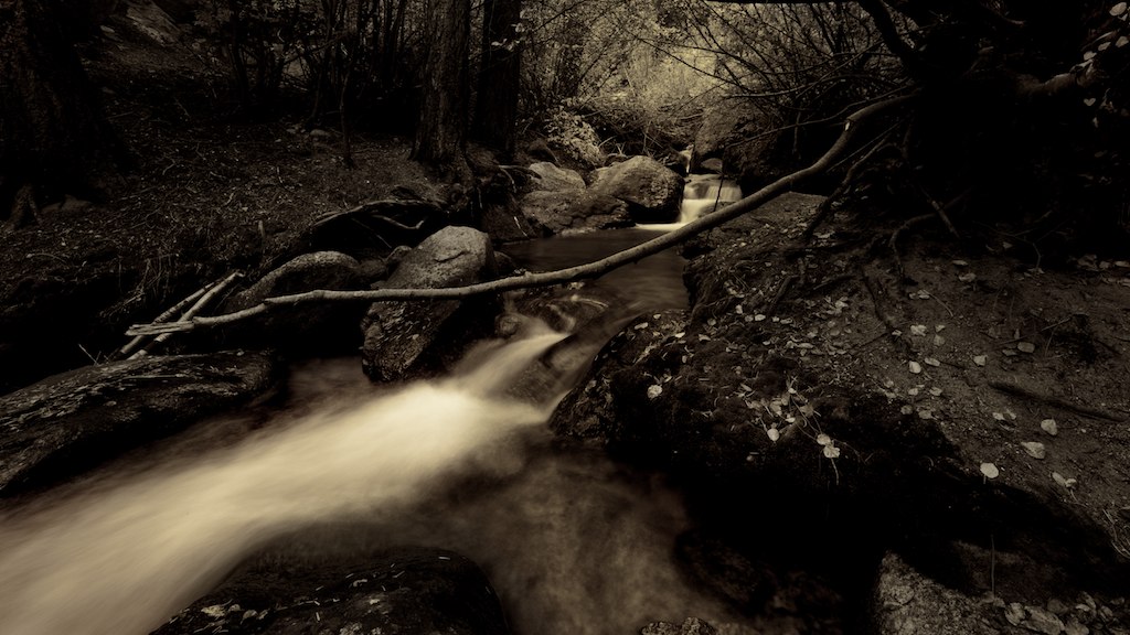
the stream
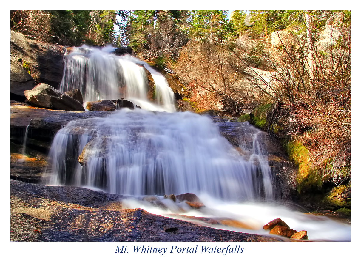
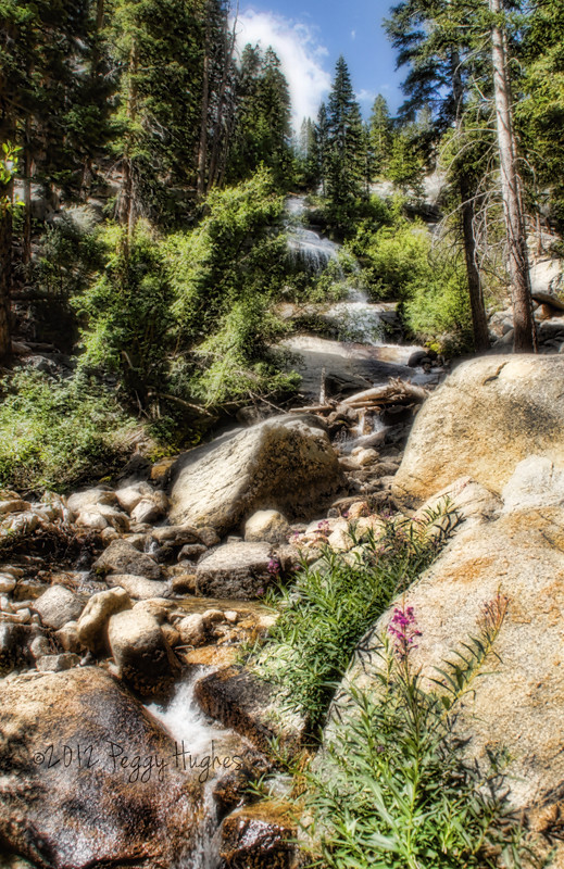
Mt. Whitney Portal Waterfalls
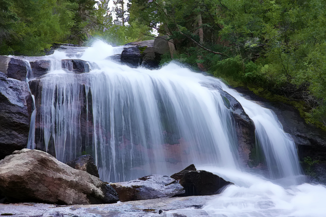
Mt. Whitney Waterfall
Mighty Lone Pine Peak - Lone Pine, CA
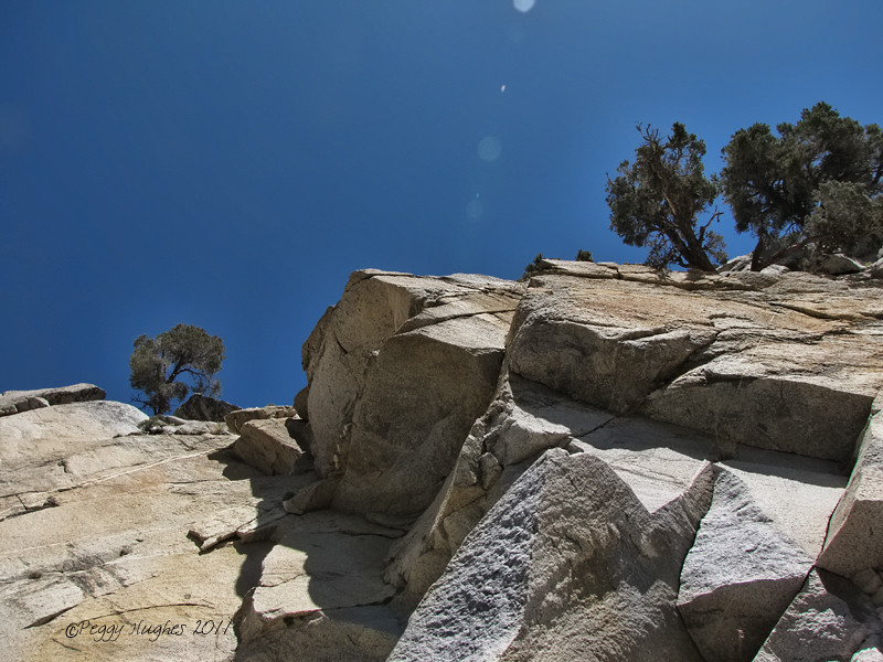
looking up
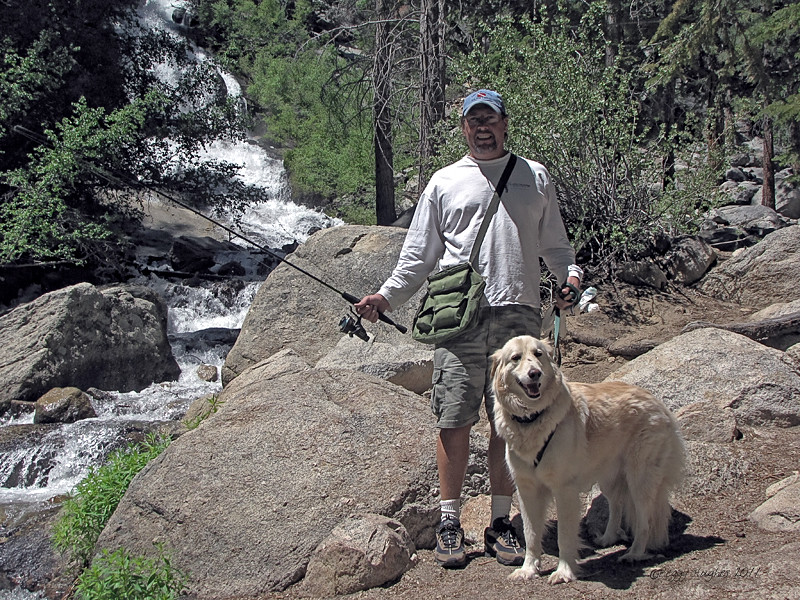
Jack & Sam

morning in the forest
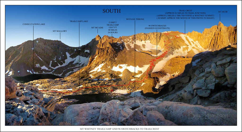
PhotoMap - 96 Switchbacks Viewed From Wotans Throne
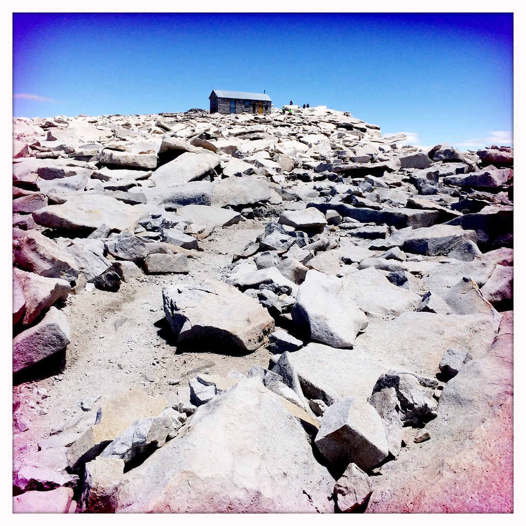
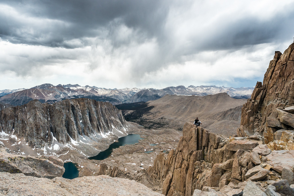
I Made It
Backside of Mount Whitney, Inyo NF

view over Owens Lake from Horshoe
View West from Trail

morning at the campsite
Cold Spring
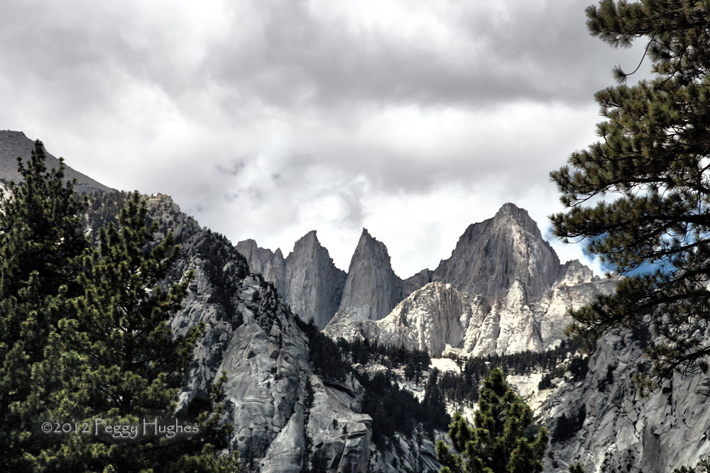
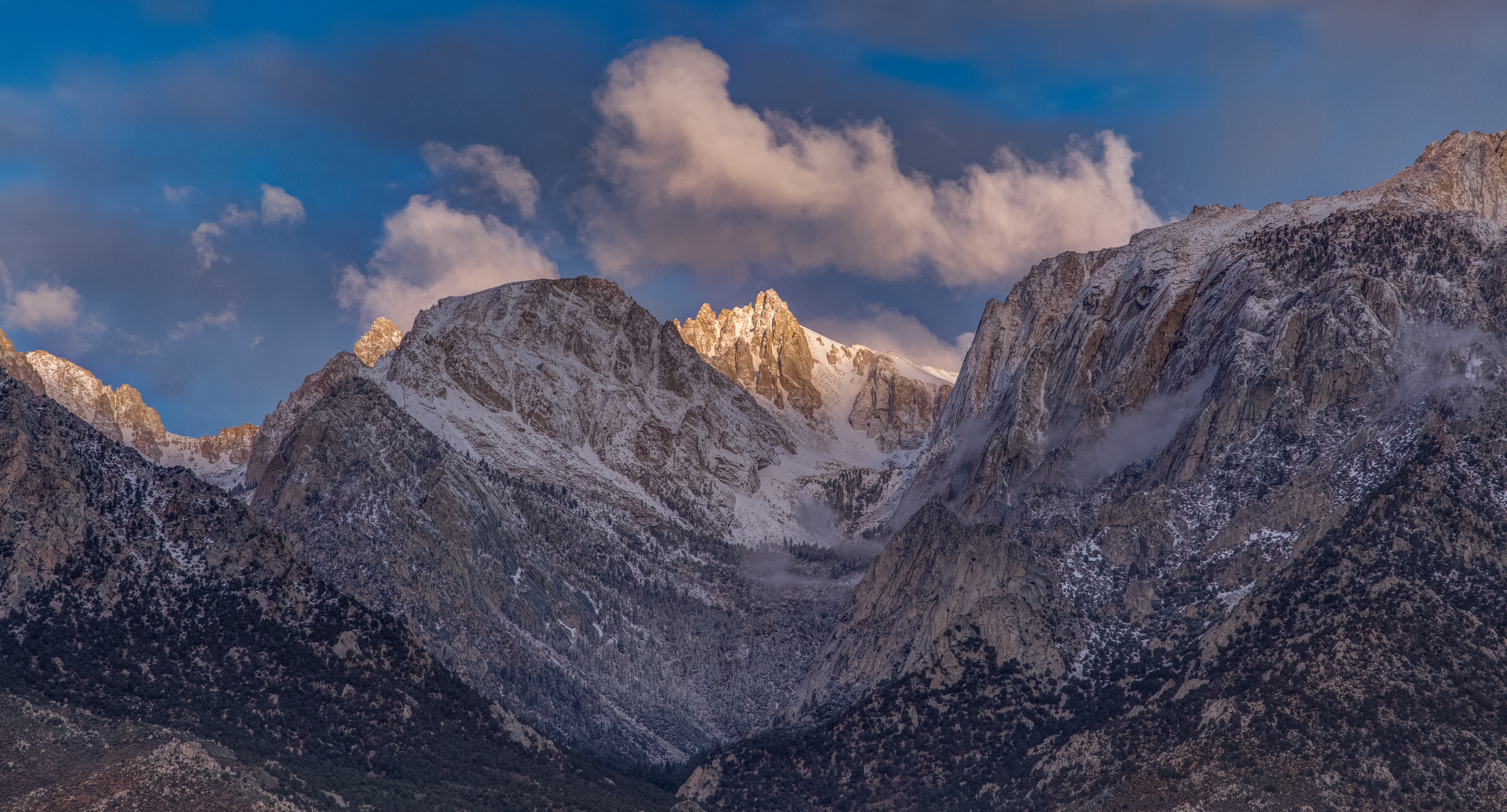
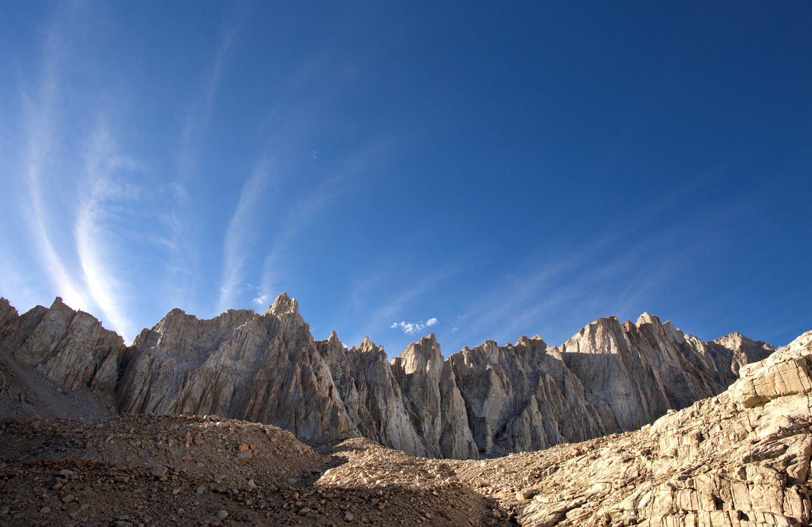
Majestic Mt. Whitney
Mountain Sunrise
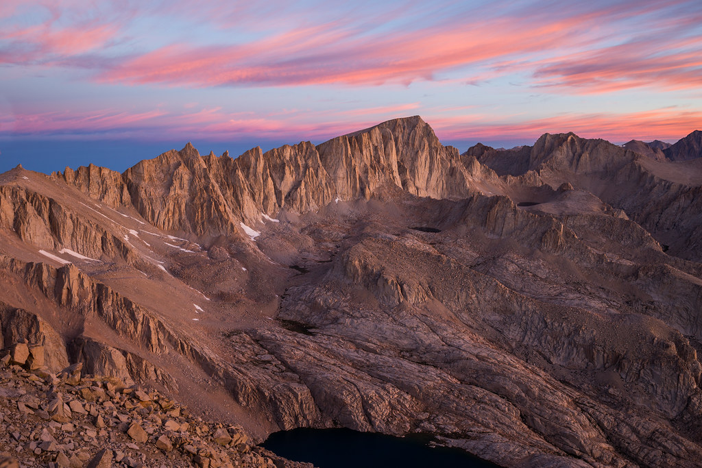
Mount Whitney Sunrise
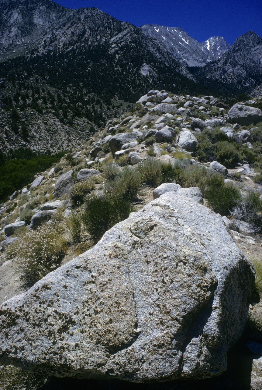
Ice-age Deposits Found Here
Meysan Lake Wildflowers

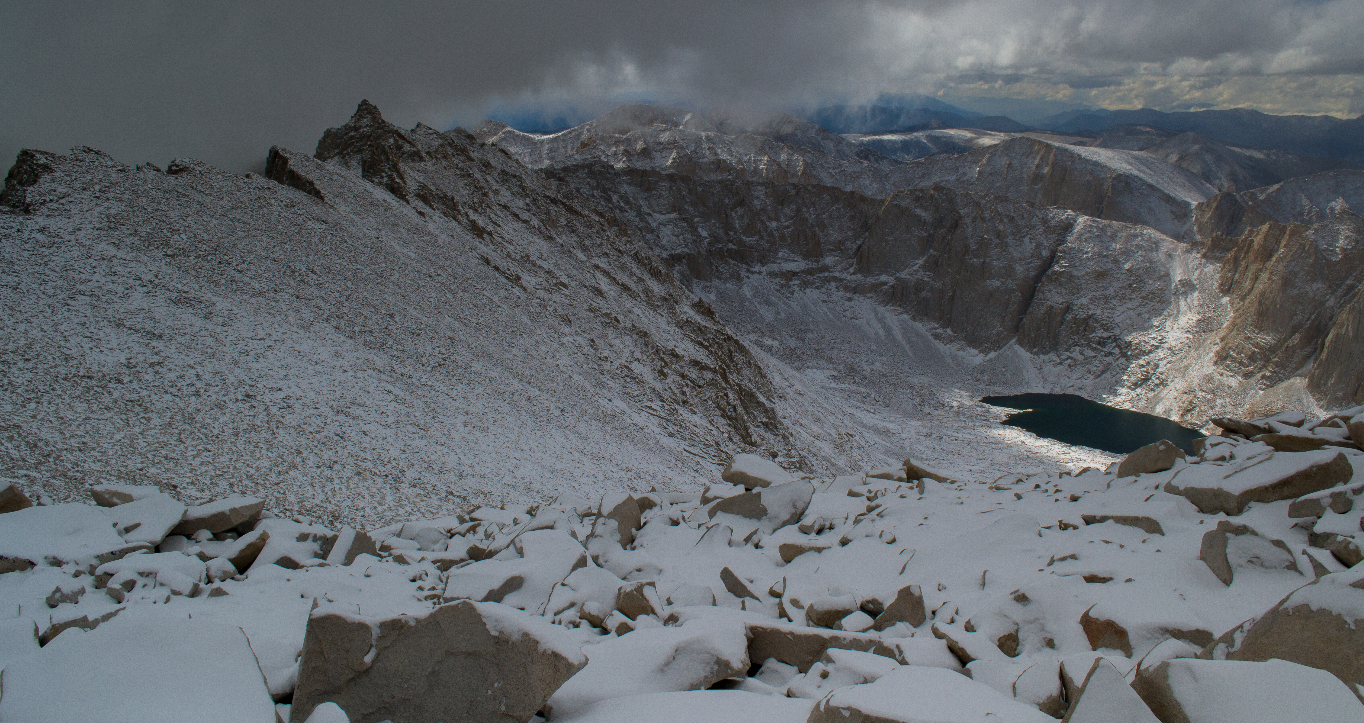
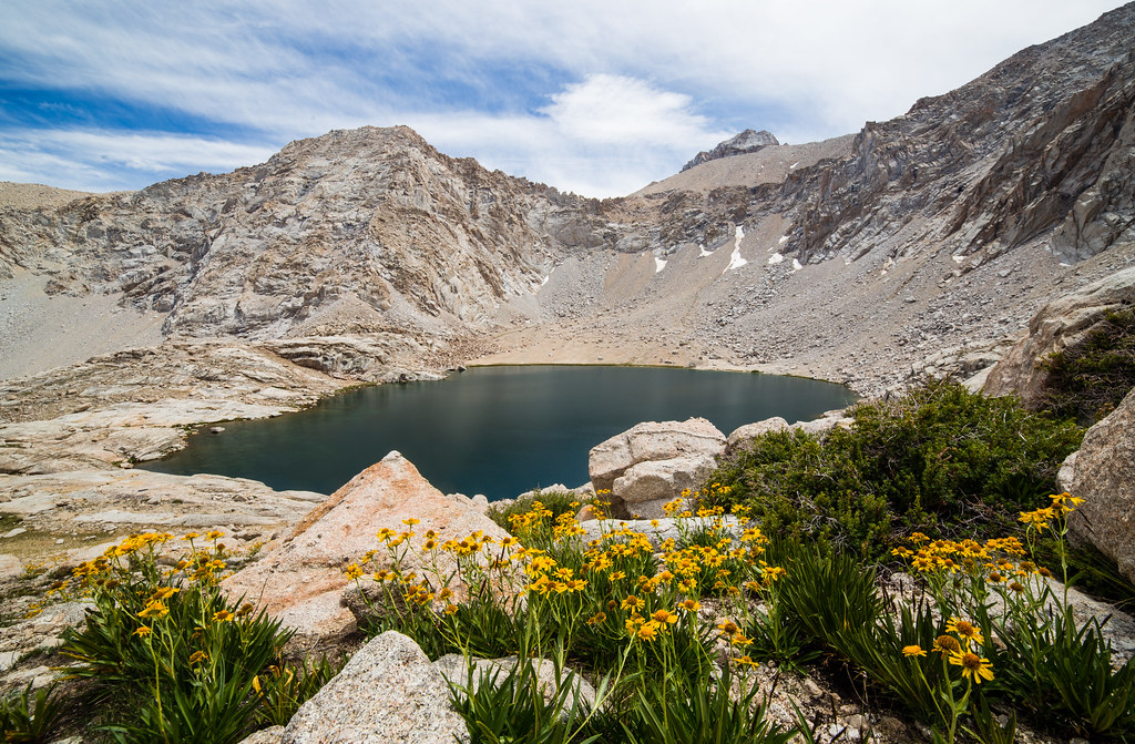
High Sierra Lake
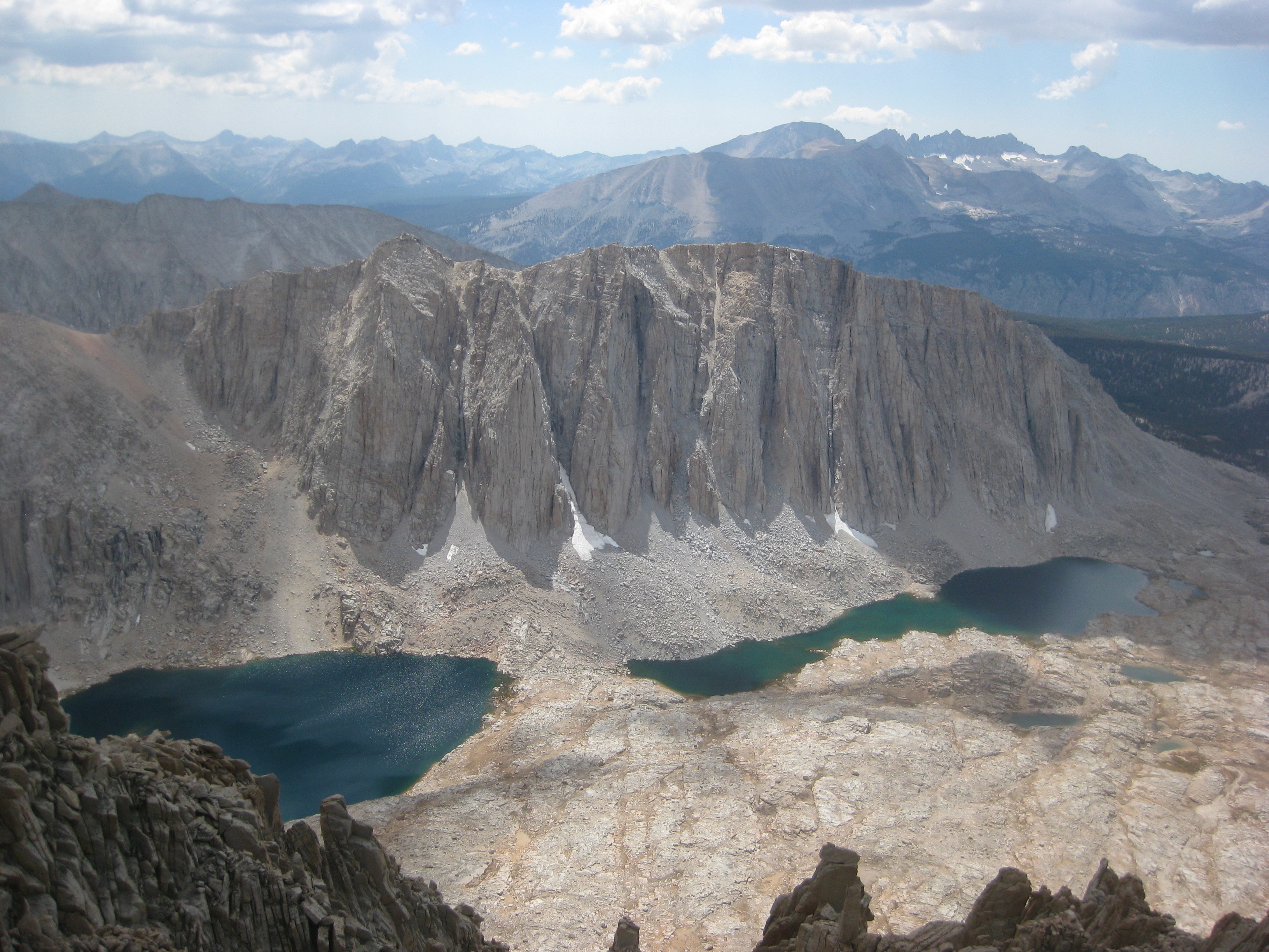
High Sierra Wall
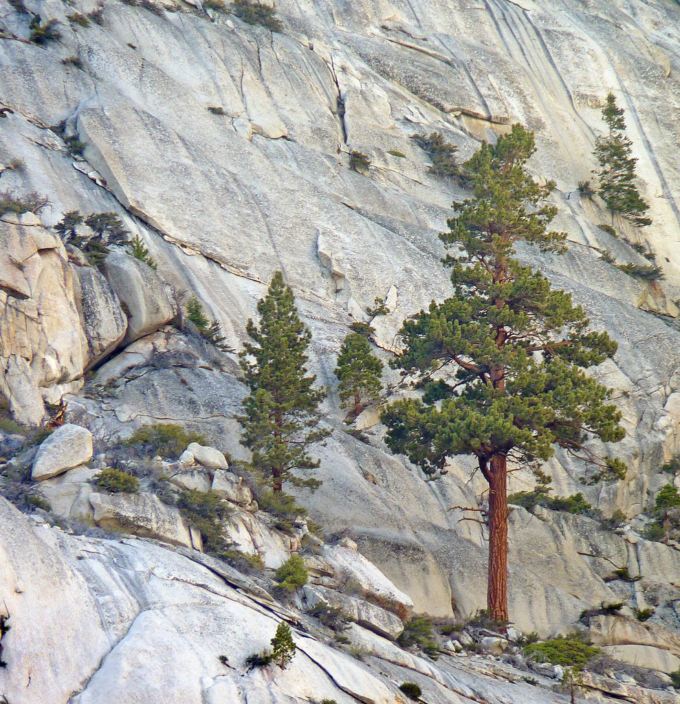
Mount Whitney

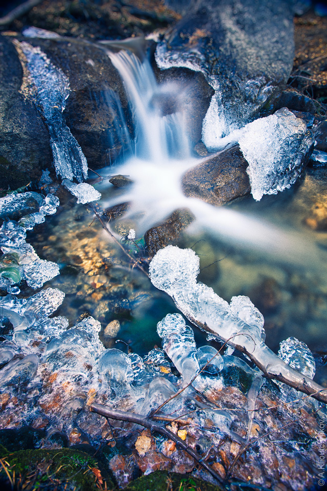
Little falls

Lone Pine Creek

Snow In The Inyos
Sierras for breakfast

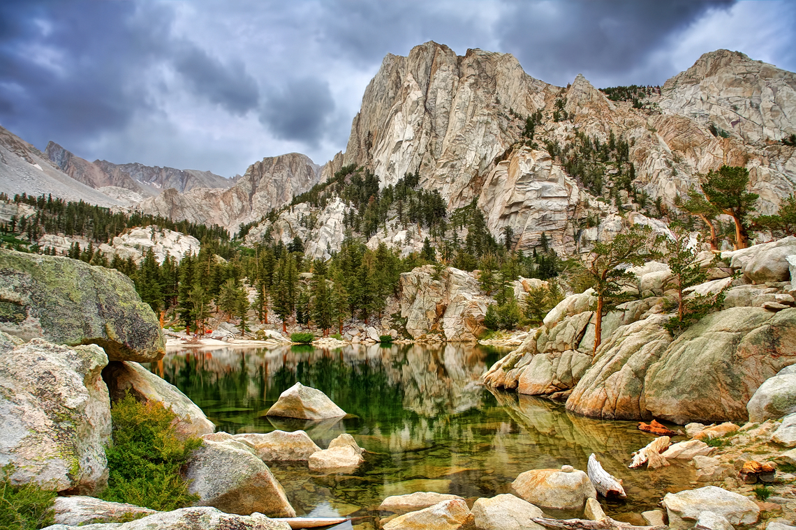
Lone Pine Lake
_DSC1265 - Version 2

Iridesent Lake
Topographic Map of Cottonwood Pass, California, USA
Find elevation by address:

Places near Cottonwood Pass, California, USA:
Cottonwood Lakes
Horseshoe Meadow Equestrian Camp
Mount Langley
Mount Pickering
Lone Pine Peak
Johnson Peak
Templeton Mountain
Kern Peak
Overlook Mountain
Second Kaweah
Hockett Peak
Needham Mountain
Pearsonville, CA, USA
Sequoia National Park
Lippincott Mountain
Vandever Mountain
N Tilden St, Three Rivers, CA, USA
57716 Fox Dr
Fox Dr, Springville, CA, USA
Sequoia National Park
Recent Searches:
- Elevation of Corso Fratelli Cairoli, 35, Macerata MC, Italy
- Elevation of Tallevast Rd, Sarasota, FL, USA
- Elevation of 4th St E, Sonoma, CA, USA
- Elevation of Black Hollow Rd, Pennsdale, PA, USA
- Elevation of Oakland Ave, Williamsport, PA, USA
- Elevation of Pedrógão Grande, Portugal
- Elevation of Klee Dr, Martinsburg, WV, USA
- Elevation of Via Roma, Pieranica CR, Italy
- Elevation of Tavkvetili Mountain, Georgia
- Elevation of Hartfords Bluff Cir, Mt Pleasant, SC, USA