Elevation of Costanza Dr, Martinez, CA, USA
Location: United States > California > Contra Costa County > Martinez >
Longitude: -122.10844
Latitude: 37.981203
Elevation: 81m / 266feet
Barometric Pressure: 100KPa
Elevation Map:
Satellite Map:
Related Photos:

A frosty morning

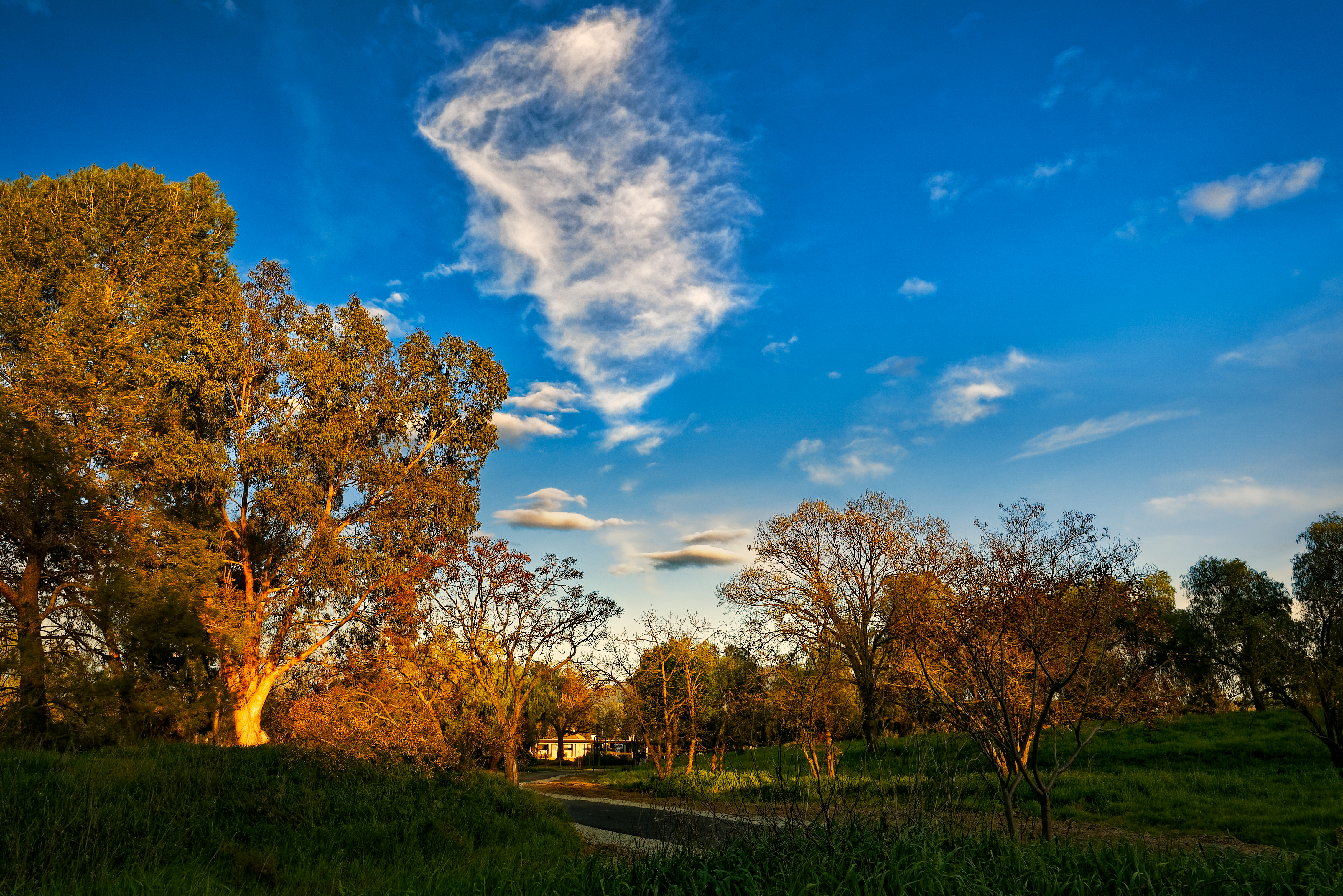
Path to the Clouds
ATSF 2857 West at Collier, CA
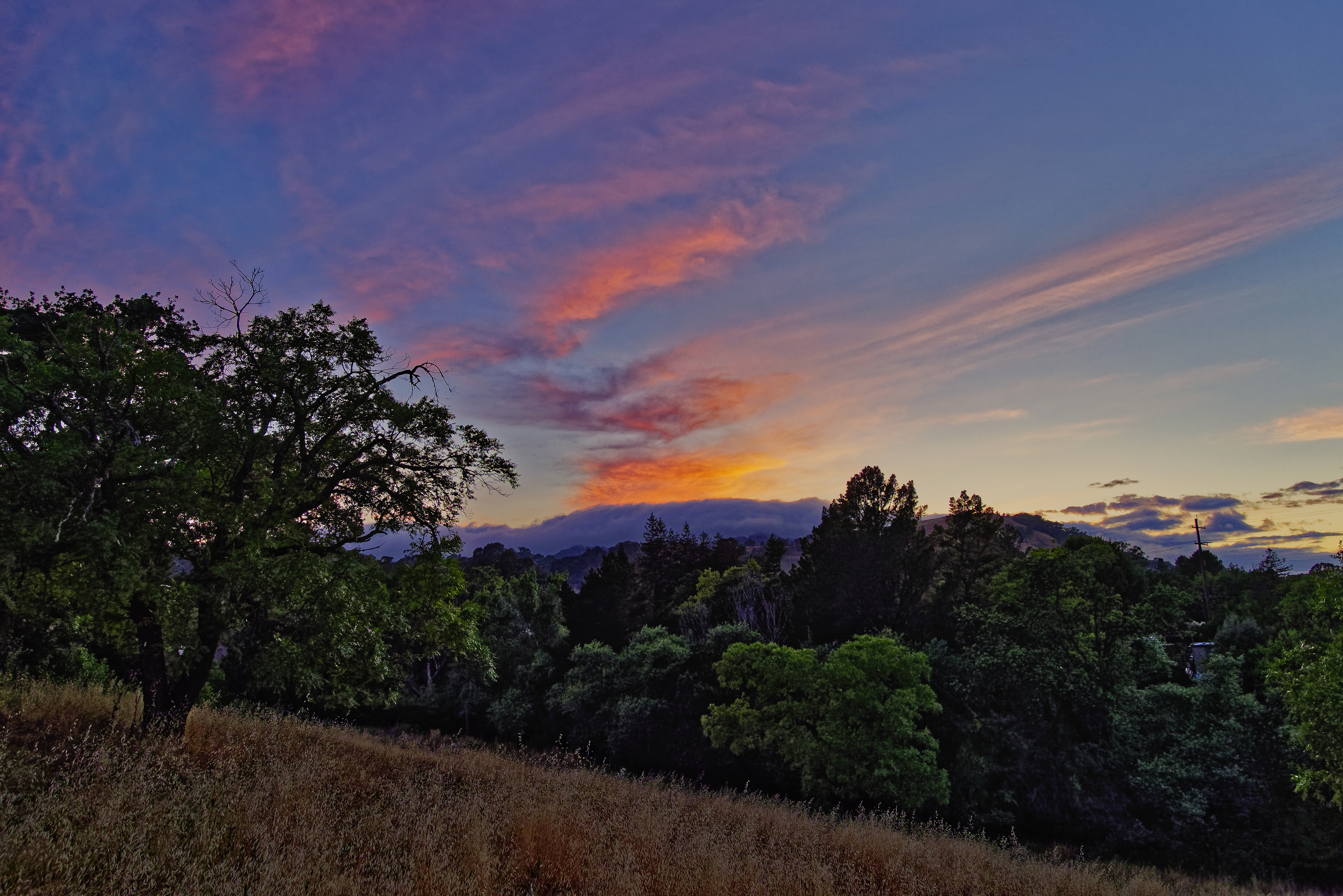
Sunset View of Mt. Diablo

Mt. Diablo Sunset

The fog kept on rolling in

San Francisco Bay from Claremont Hills

Spotted Towhee

Sunrise on the Contra Costa Canal

Pacific-slope Flycatcher
Second Story Sunset

Cardinal Meadowhawk 2096

Summer Afternoon view of Mt. Diablo

Put out the fire

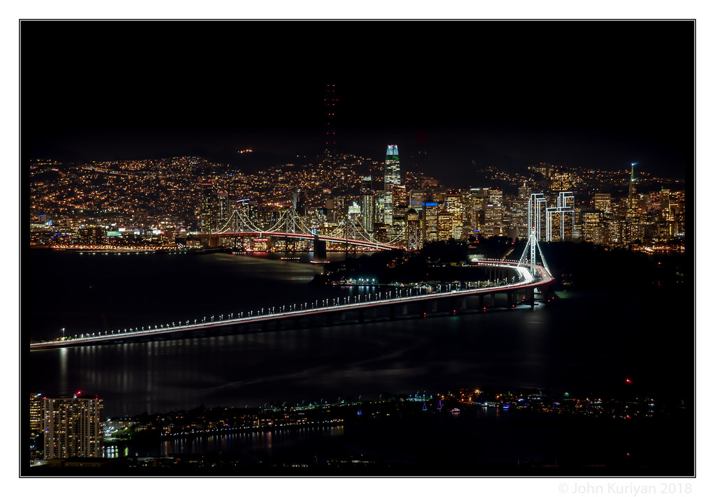
Morning Over the City By The Bay

Fox Sparrow (Sooty)

Carquinez Bridge
Carquinez Bridge

Heather Farm Fishing Pond

Mt. Diablo View

Mt. Diablo Skyscape

Foggy rock
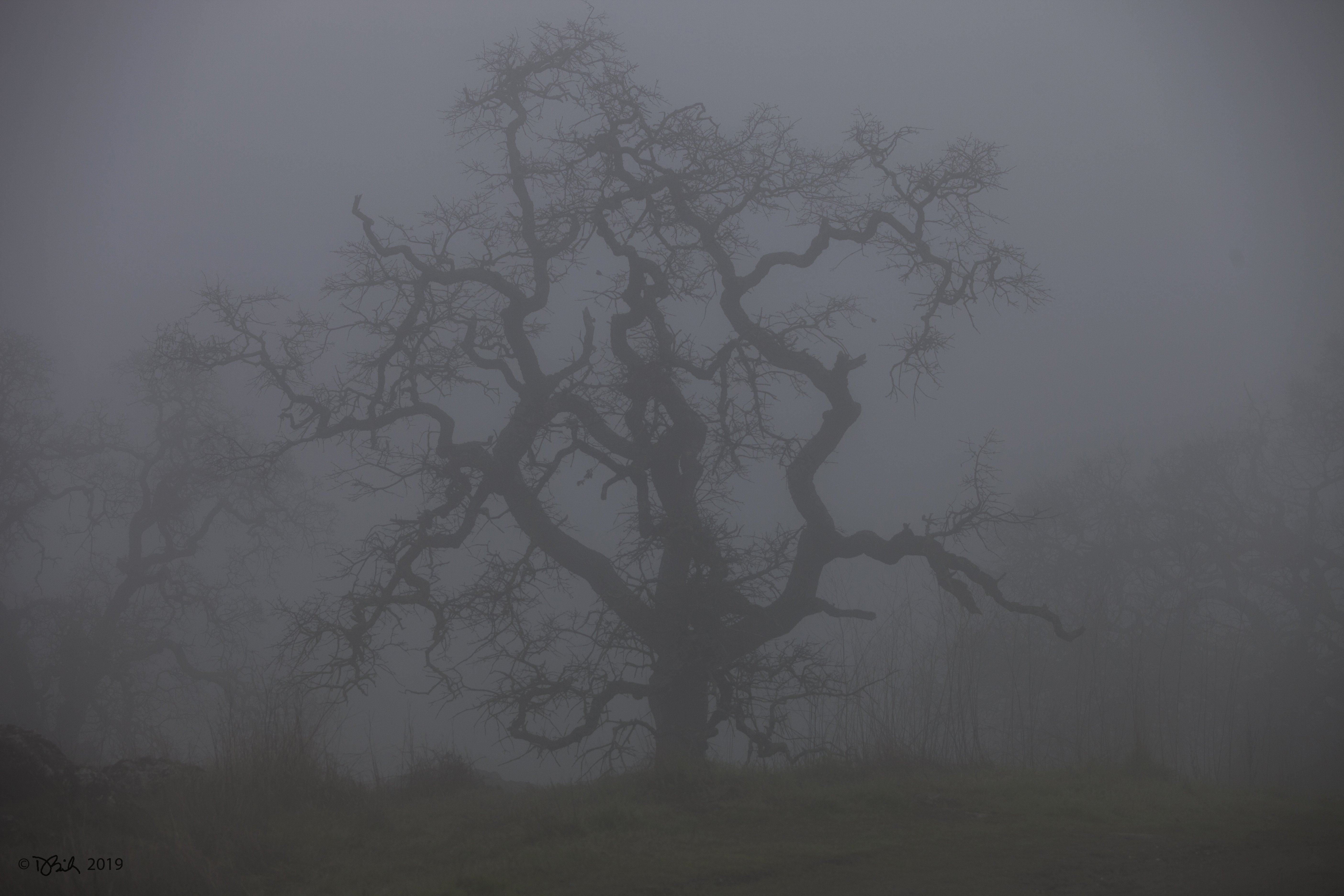
Foggy tree
Clarity after the Storm
Another Countrywood Sunset

Foggy Lime Ridge Sunset

Storm Clouds over Mt. Diablo

Valley Flyer Eastbound

Swimming in the Shallow End

Heather Farms Sunset

Starburst Sunset over Heather Farm Pond
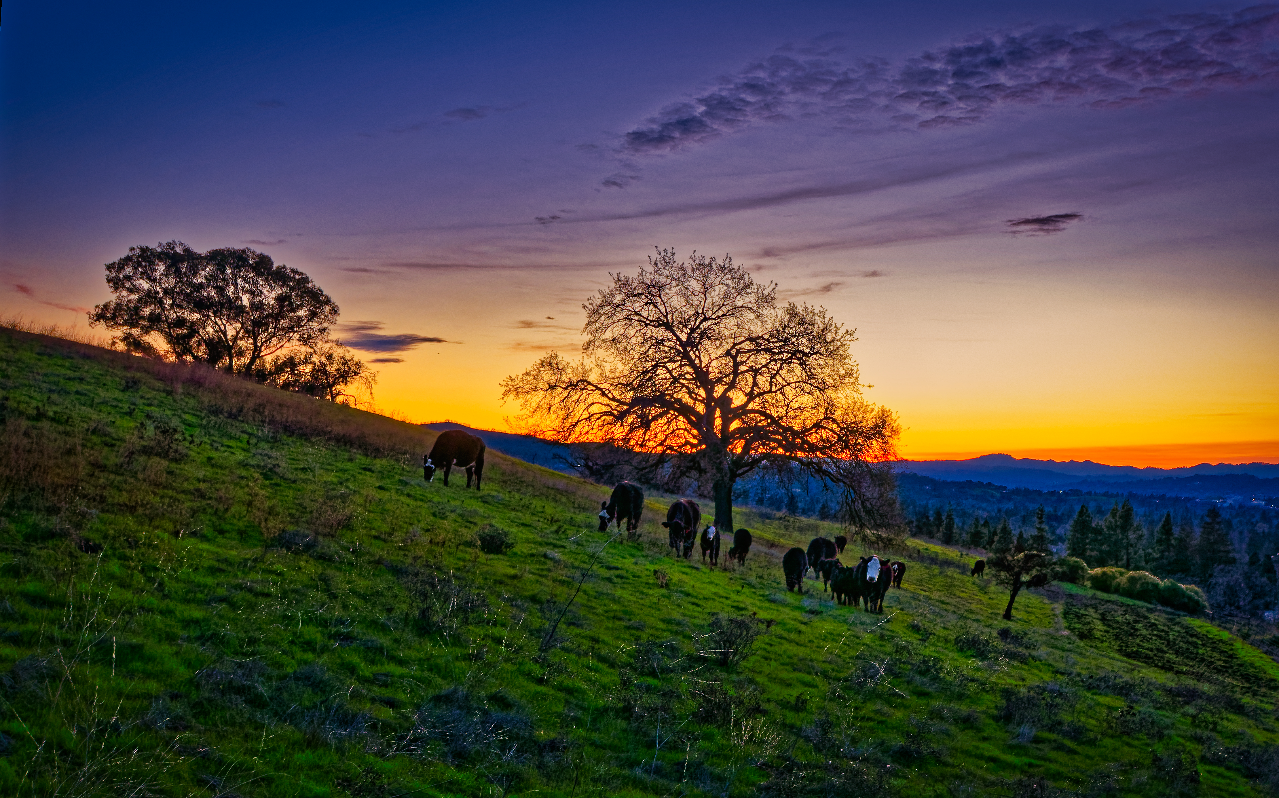
Grazing at Sunset

Sunset Light on Mt. Diablo
Golden Hour at Heather Farm Park
Sunset over the Lafayette Hills

Stormy Sunset Flight

Stormy Sunset over Heather Farms Pond

Ready for Lift-Off

Cumulonimbus Sunset
Topographic Map of Costanza Dr, Martinez, CA, USA
Find elevation by address:

Places near Costanza Dr, Martinez, CA, USA:
4834 Venner Rd
105 Fig Tree Ln
140 St Germain Ln
322 Tuolumne Ave
2241 Lake Oaks Ct
Vine Hill
Pacheco Blvd, Martinez, CA, USA
4209 Pacheco Blvd
130 St Marys Ct
150 E St
Pacheco
123 Lupine Ln
123 Lupine Ln
Center Ave, Pacheco, CA, USA
Valente Court
537 Dorothy Ln
284 Minoru Dr
704 Duke Cir
115 Center Ave
712 Duke Cir
Recent Searches:
- Elevation of Jadagoniai, Kaunas District Municipality, Lithuania
- Elevation of Pagonija rock, Kranto 7-oji g. 8"N, Kaunas, Lithuania
- Elevation of Co Rd 87, Jamestown, CO, USA
- Elevation of Tenjo, Cundinamarca, Colombia
- Elevation of Côte-des-Neiges, Montreal, QC H4A 3J6, Canada
- Elevation of Bobcat Dr, Helena, MT, USA
- Elevation of Zu den Ihlowbergen, Althüttendorf, Germany
- Elevation of Badaber, Peshawar, Khyber Pakhtunkhwa, Pakistan
- Elevation of SE Heron Loop, Lincoln City, OR, USA
- Elevation of Slanický ostrov, 01 Námestovo, Slovakia