Elevation of Corydon, IA, USA
Location: United States > Iowa > Wayne County >
Longitude: -93.278482
Latitude: 40.7707418
Elevation: 331m / 1086feet
Barometric Pressure: 97KPa
Elevation Map:
Satellite Map:
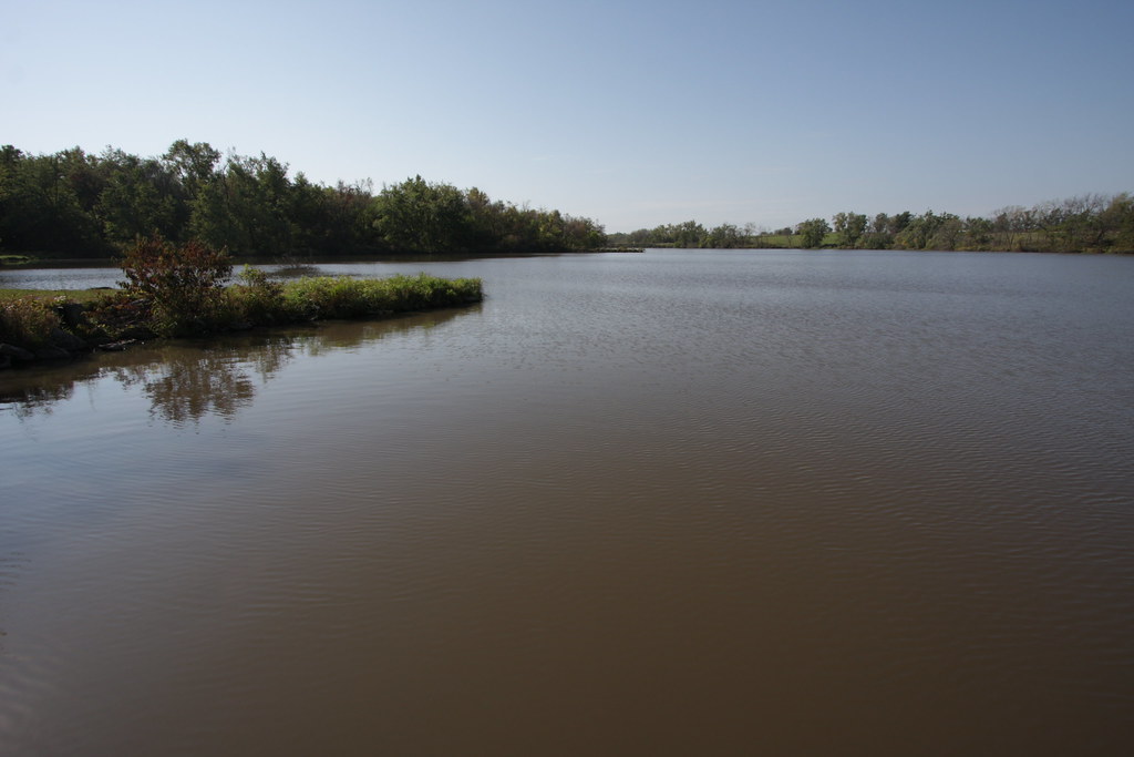
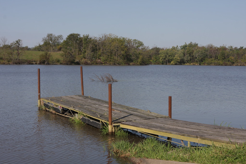
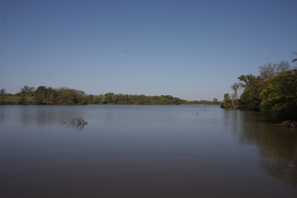
Related Photos:

Wayne County, Iowa bandshell
IMG_12016.JPG
IMG_12018.JPG
IMG_12025.JPG
IMG_12012.JPG
IMG_12017.JPG

Friday Night Lights
IMG_12024.JPG

IMG_12019.JPG
IMG_12011.JPG
Topographic Map of Corydon, IA, USA
Find elevation by address:

Places in Corydon, IA, USA:
Places near Corydon, IA, USA:
Corydon
S Franklin St, Corydon, IA, USA
500 N Dekalb St
Allerton
611 W Maple St
Wayne County
Walnut
Warren
W Wall St, Seymour, IA, USA
Seymour
Lincoln
23873 160th Ave
Mystic
N 13th St, Centerville, IA, USA
Centerville
Westbridge Inn & Suites
Appanoose County
20678 240th Ave
Morgan Township
W 1st St, Leon, IA, USA
Recent Searches:
- Elevation of Luther Road, Luther Rd, Auburn, CA, USA
- Elevation of Unnamed Road, Respublika Severnaya Osetiya — Alaniya, Russia
- Elevation of Verkhny Fiagdon, North Ossetia–Alania Republic, Russia
- Elevation of F. Viola Hiway, San Rafael, Bulacan, Philippines
- Elevation of Herbage Dr, Gulfport, MS, USA
- Elevation of Lilac Cir, Haldimand, ON N3W 2G9, Canada
- Elevation of Harrod Branch Road, Harrod Branch Rd, Kentucky, USA
- Elevation of Wyndham Grand Barbados Sam Lords Castle All Inclusive Resort, End of Belair Road, Long Bay, Bridgetown Barbados
- Elevation of Iga Trl, Maggie Valley, NC, USA
- Elevation of N Co Rd 31D, Loveland, CO, USA