Elevation of Corwith Township, MI, USA
Location: United States > Michigan > Otsego County >
Longitude: -84.532118
Latitude: 45.1499696
Elevation: 304m / 997feet
Barometric Pressure: 98KPa
Elevation Map:
Satellite Map:
Related Photos:

a portrait of keith bunker: thanks for 100,000 views
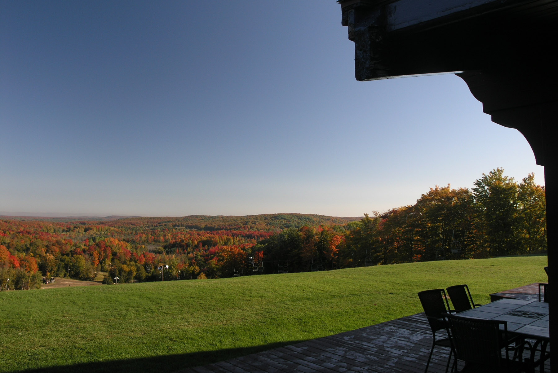
2012 Michigan Roundup View from Lodge

Bull Elk
Pure Michigan, Pure Kevin

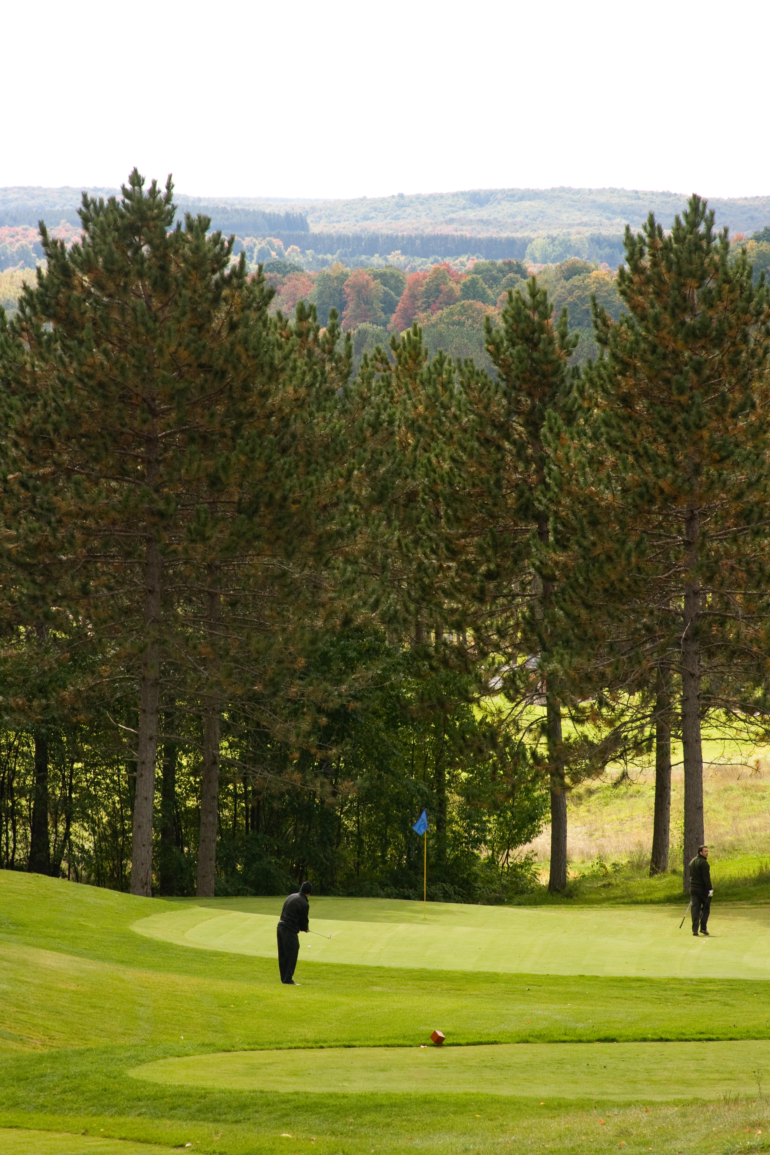
Jesse Tees Off

Treetops Resort

Sunflower Field

Fall Light
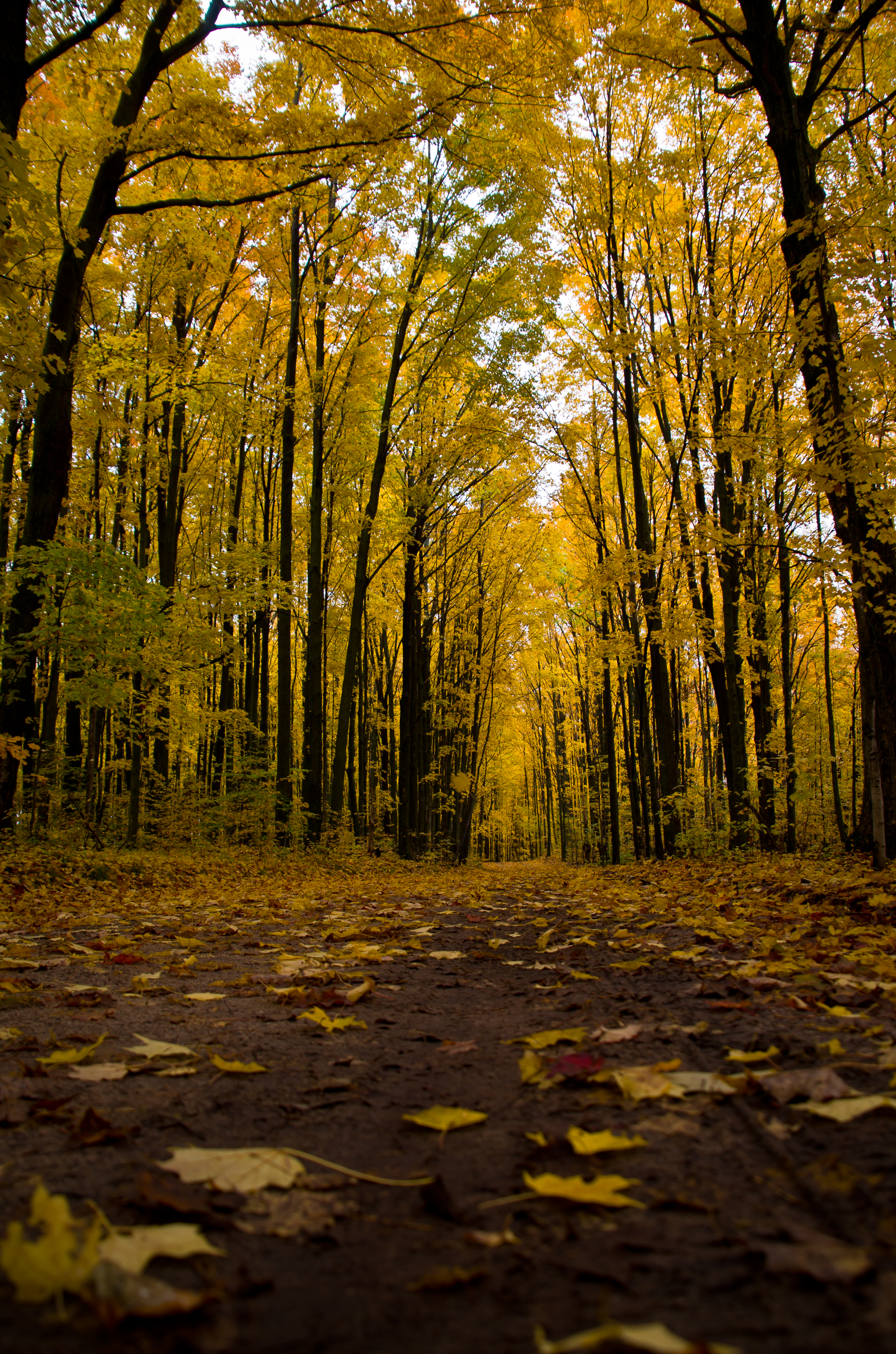
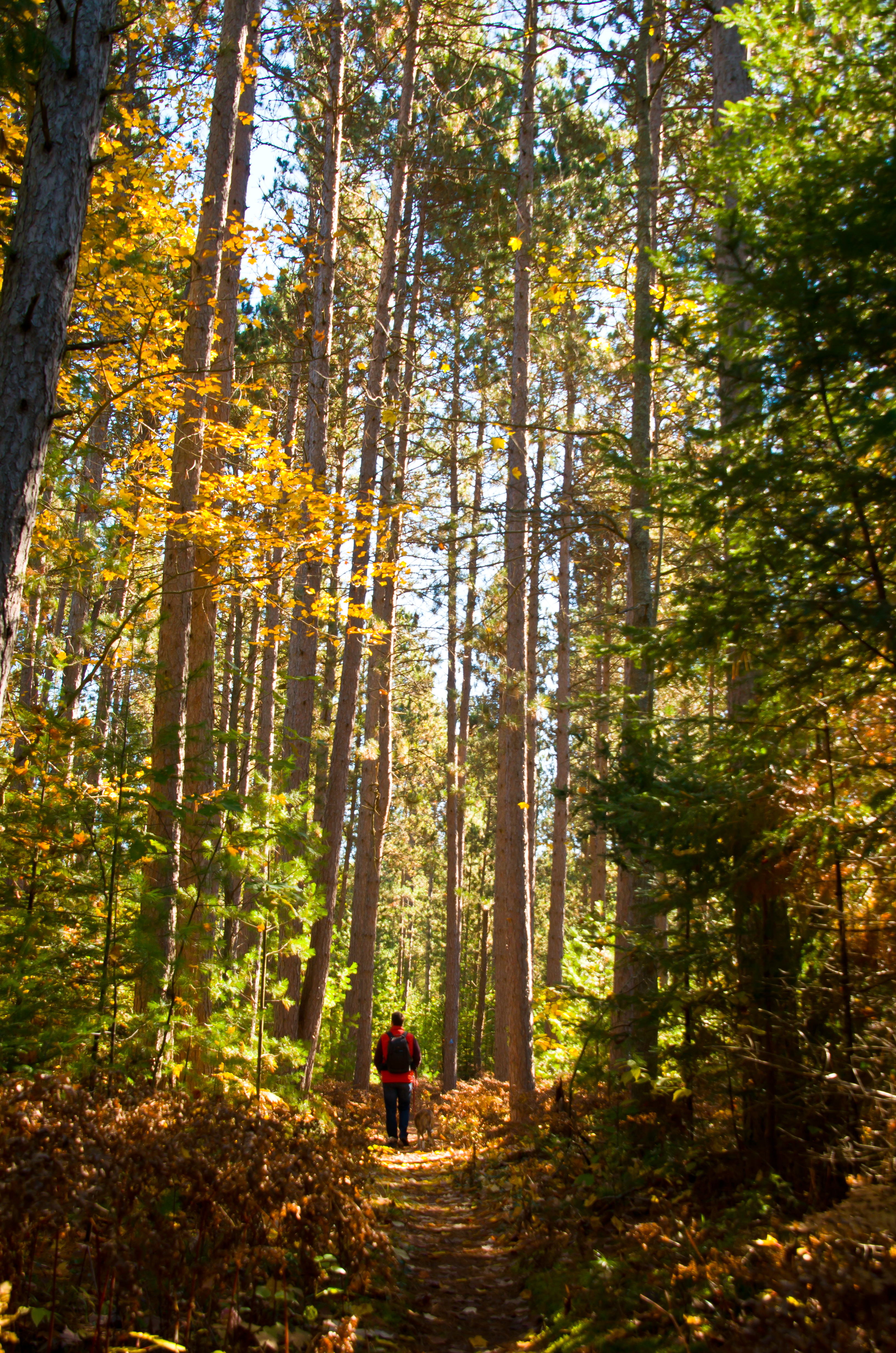
Trail in the Woods
Old Vanderbilt Road

Frosty Morning

An unsettled autumn sky ...

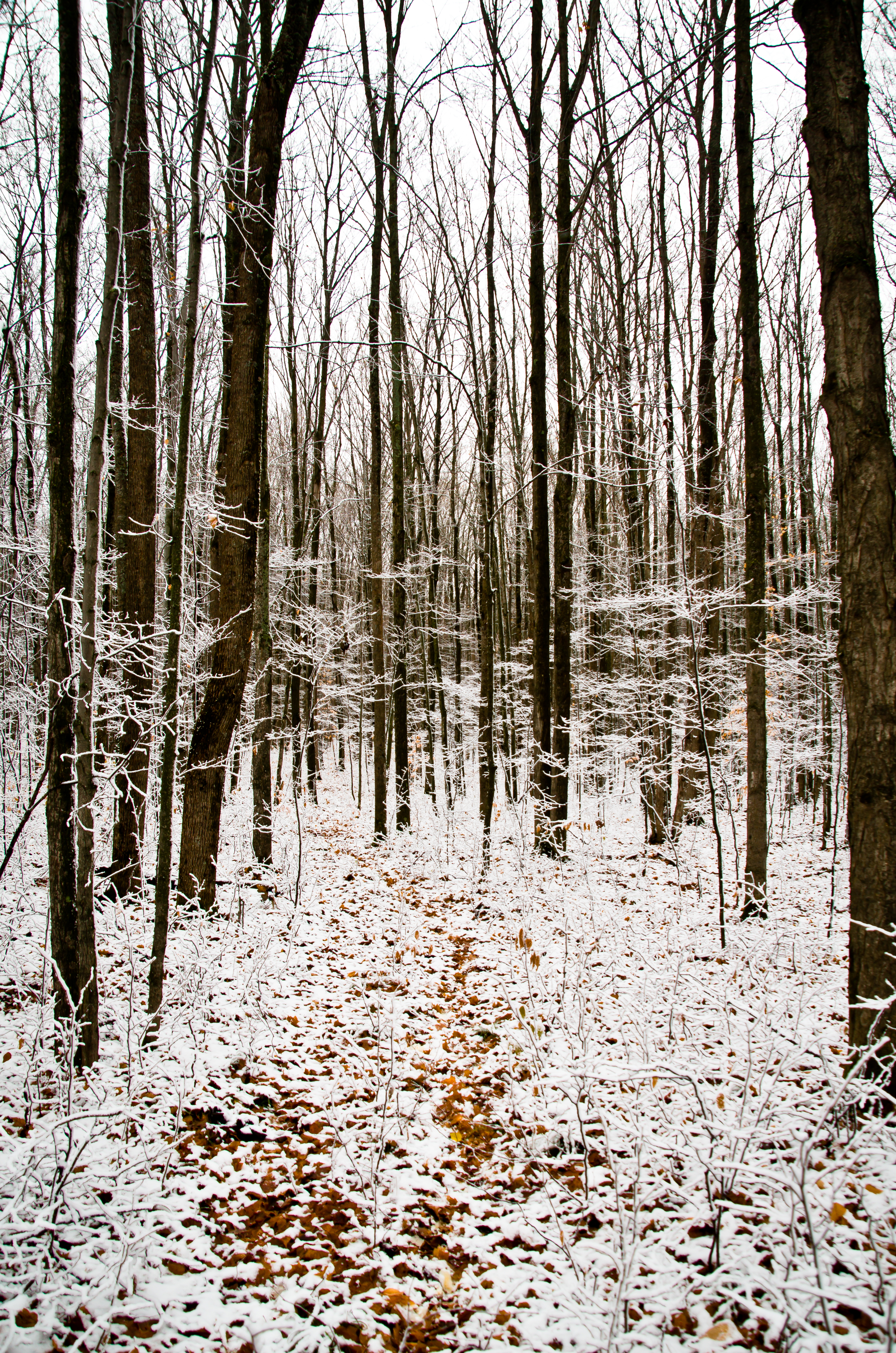
First Snow

6D-7225_HDR.jpg

Morning Walk

Double Rainbow
Tall Trees
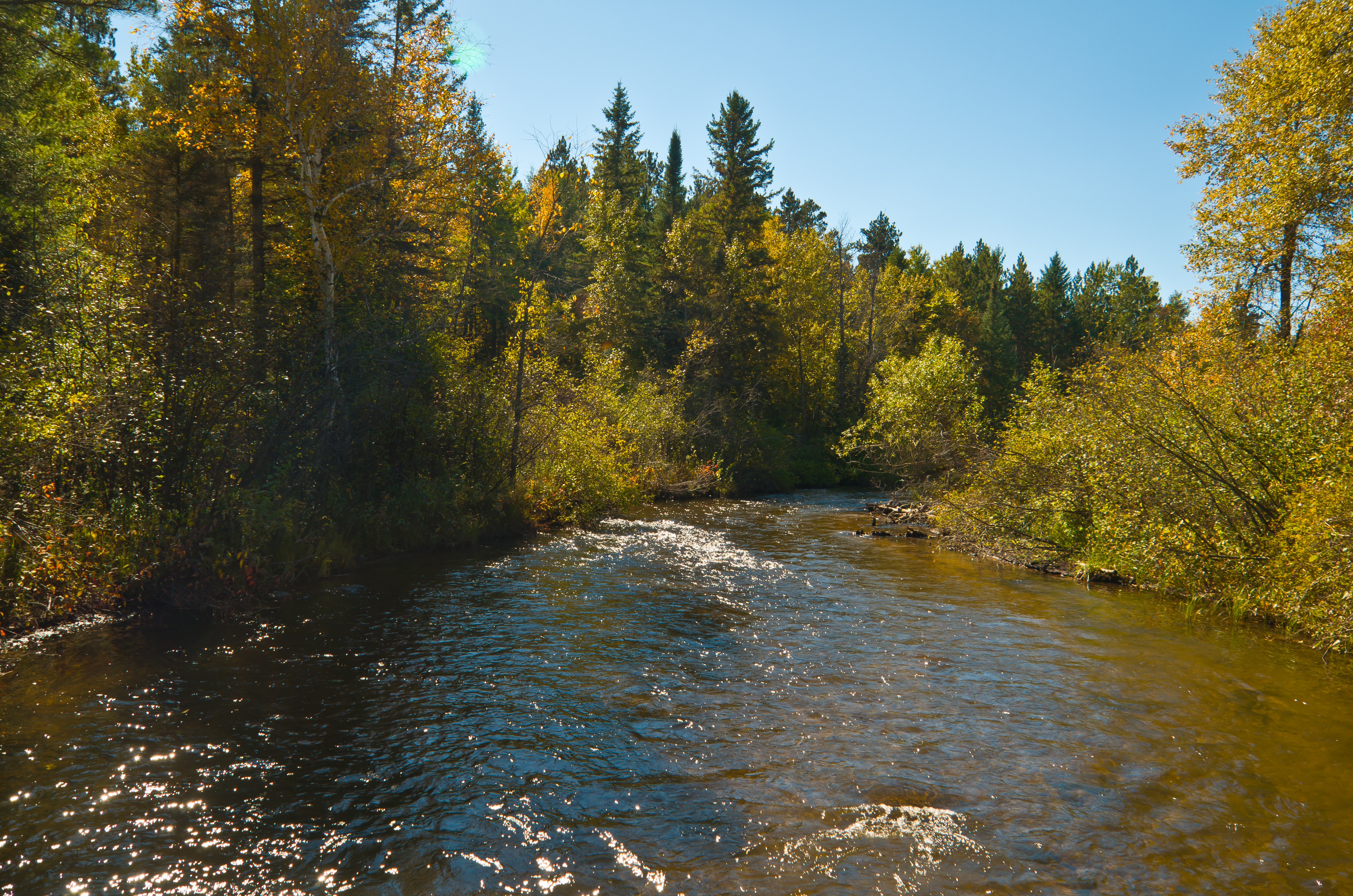
Pigeon River

Treetop ski resort

Pigeon River State Forest

Pidgeon River State Forest-Michigan
Topographic Map of Corwith Township, MI, USA
Find elevation by address:

Places in Corwith Township, MI, USA:
Places near Corwith Township, MI, USA:
5833 Whitehouse Trail
5084 Whitehouse Trail
Dover Township
14767 Ashbrook Dr
Sparr Rd, Gaylord, MI, USA
Otsego County
Nunda Township
Vanderbilt
Treetops Resort
481 Wildwood Trail
Wolverine
Wilkinson Rd, Gaylord, MI, USA
13290 Friendly Dr
Livingston Township
7234 Silver Lake Rd
141 Meadowview Ln
5525 Pyke School Rd
12130 Bilder Rd
12625 Henry Collins Rd
Wilmot Township
Recent Searches:
- Elevation of Bernina Dr, Lake Arrowhead, CA, USA
- Elevation of N 82nd Pl, Mesa, AZ, USA
- Elevation of Snake Hill Rd, North Scituate, RI, USA
- Elevation of Lake Shore Dr, Warwick, RI, USA
- Elevation of E Brightview Ave, Pittsburgh, PA, USA
- Elevation of Cavendish Rd, Harringay Ladder, London N4 1RR, UK
- Elevation of 1 Zion Park Blvd, Springdale, UT, USA
- Elevation of Ganderbal
- Elevation map of Konkan Division, Maharashtra, India
- Elevation of Netaji Nagar, Hallow Pul, Kurla, Mumbai, Maharashtra, India