Elevation of Corregidora, Centro, Coahuayana de Hidalgo, Mich., Mexico
Location: Mexico > Michoacán > Coahuayana De Hidalgo > Tercero >
Longitude: -103.66353
Latitude: 18.7011289
Elevation: 35m / 115feet
Barometric Pressure: 101KPa
Elevation Map:
Satellite Map:
Related Photos:

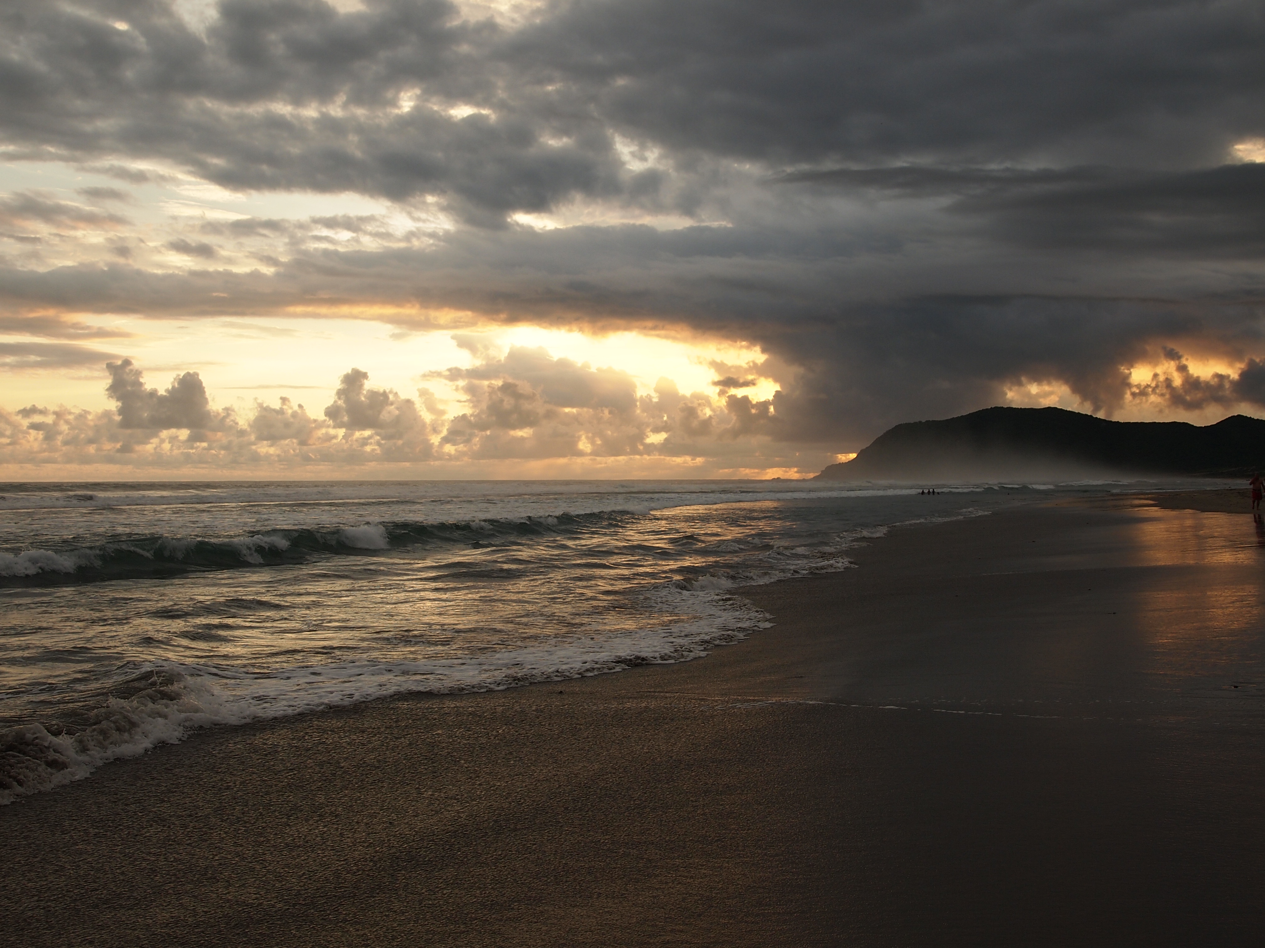
View from the tent
San Juan de Alima

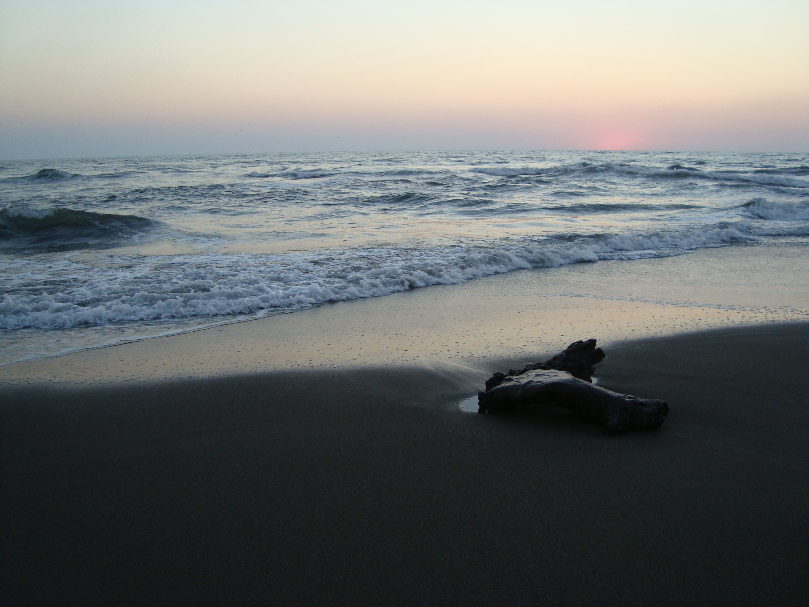
Playa Las Brisas.
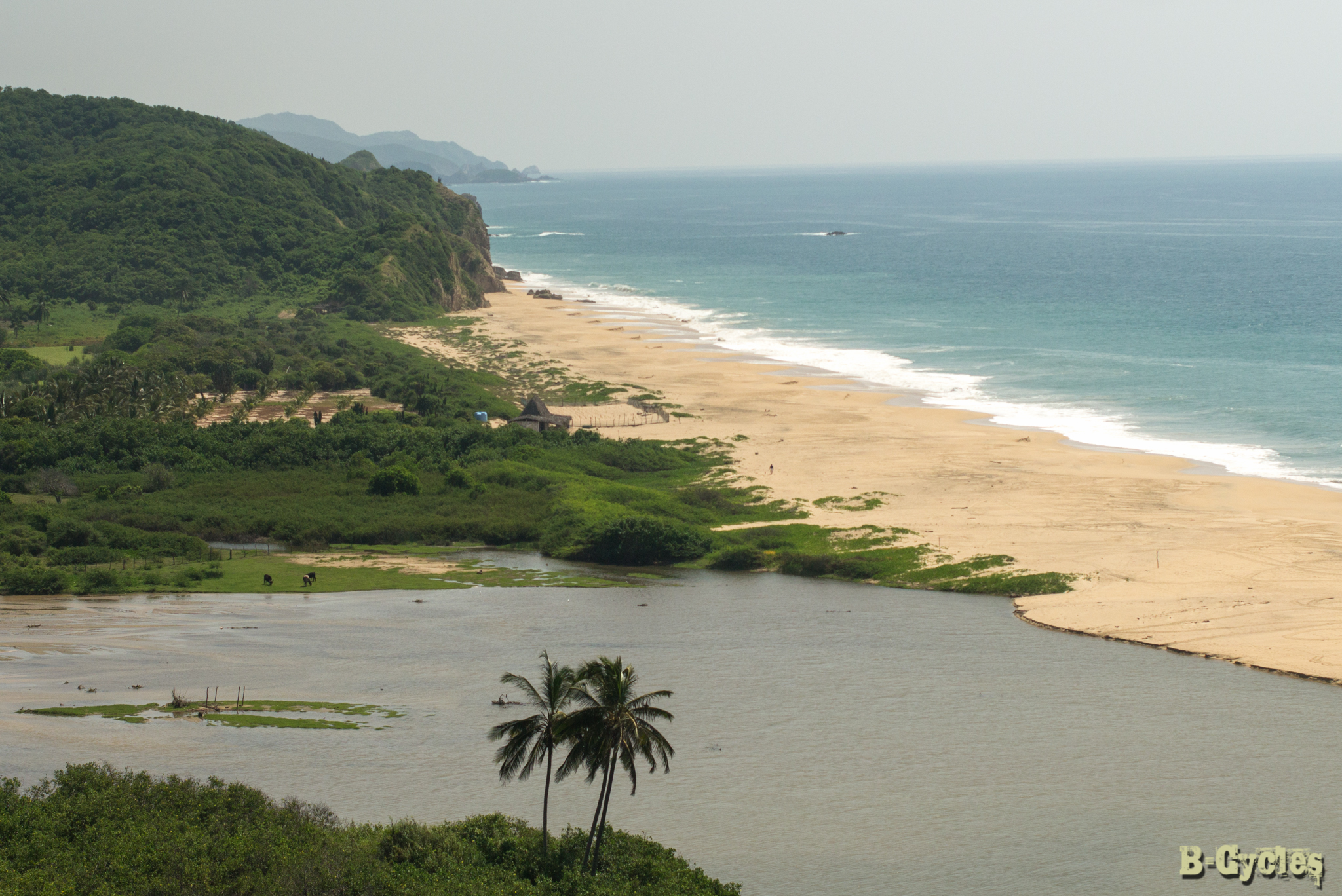
Boca de apiza, colima

Boca de apiza, colima
Boca de apiza, colima
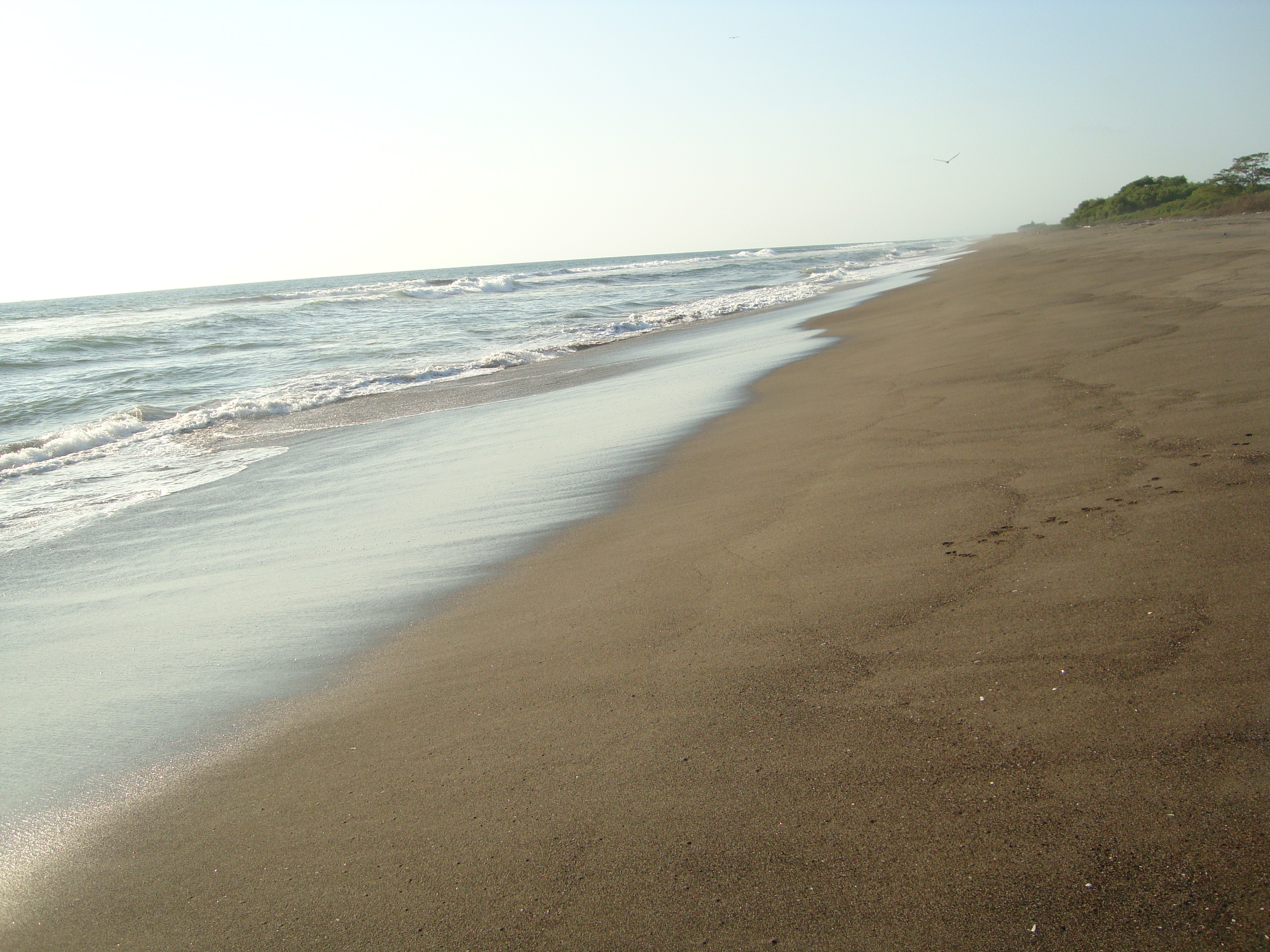
Mexico's Pacific Coast
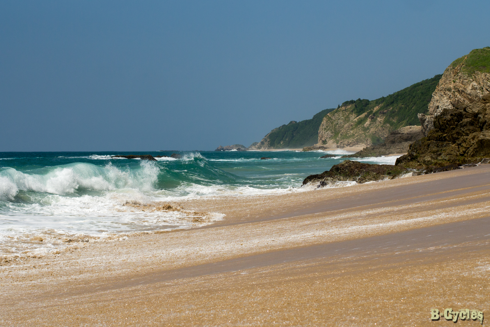
Mexico's Pacific Coast
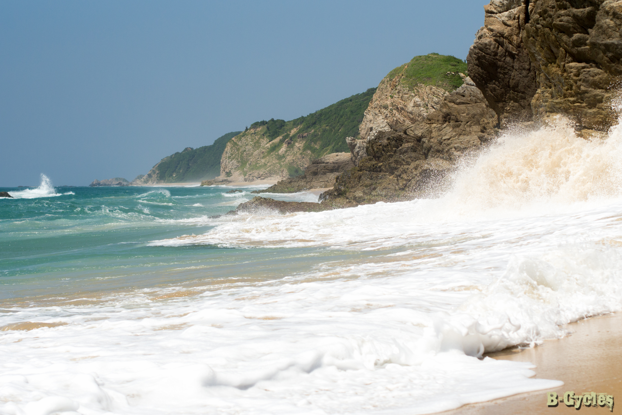
Mexico's Pacific Coast
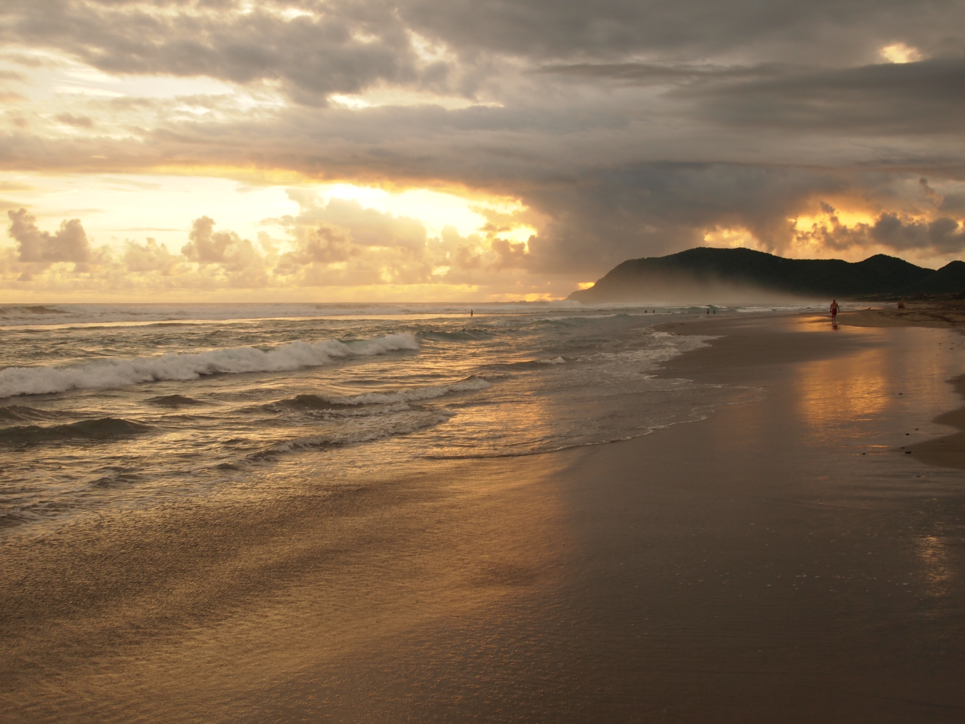
San Juan de Alima
Topographic Map of Corregidora, Centro, Coahuayana de Hidalgo, Mich., Mexico
Find elevation by address:

Places near Corregidora, Centro, Coahuayana de Hidalgo, Mich., Mexico:
Tercero
Coahuayana De Hidalgo
Tecomán - Cd Lázaro Cárdenas 3, Pomaro, Mich., Mexico
Placita De Morelos
COL 19 16, Colima, Mexico
Centro
Morelos 8, Centro, Ejido del Centro, Mich., Mexico
Aquila
Aquila
Ostula
19 De Noviembre
Francisco I. Madero 12, 19 de Noviembre, Villa Victoria, Mich., Mexico
Chinicuila
Villa Victoria
24a
Coalcomán De Vázquez Pallares
Coalcomán
Colima
Colima
Colima
Recent Searches:
- Elevation of Côte-des-Neiges, Montreal, QC H4A 3J6, Canada
- Elevation of Bobcat Dr, Helena, MT, USA
- Elevation of Zu den Ihlowbergen, Althüttendorf, Germany
- Elevation of Badaber, Peshawar, Khyber Pakhtunkhwa, Pakistan
- Elevation of SE Heron Loop, Lincoln City, OR, USA
- Elevation of Slanický ostrov, 01 Námestovo, Slovakia
- Elevation of Spaceport America, Co Rd A, Truth or Consequences, NM, USA
- Elevation of Warwick, RI, USA
- Elevation of Fern Rd, Whitmore, CA, USA
- Elevation of 62 Abbey St, Marshfield, MA, USA