Elevation of Cornish, NH, USA
Location: United States > New Hampshire > Sullivan County >
Longitude: -72.368979
Latitude: 43.4645164
Elevation: 135m / 443feet
Barometric Pressure: 100KPa
Elevation Map:
Satellite Map:
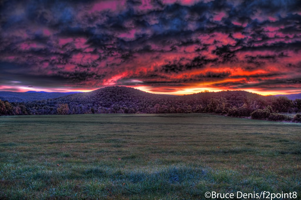
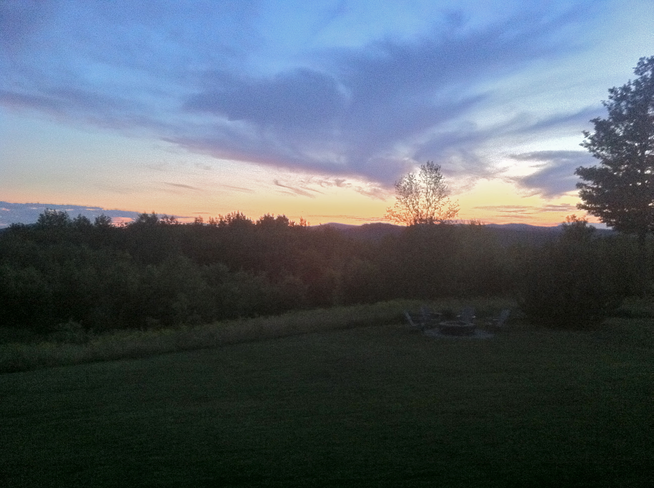
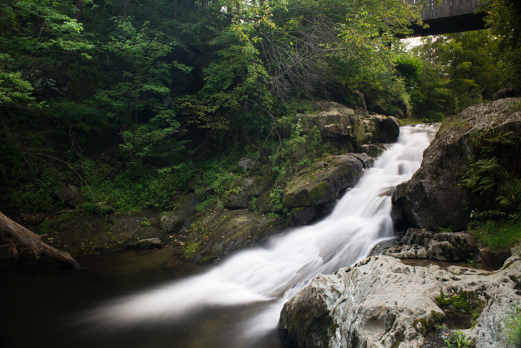
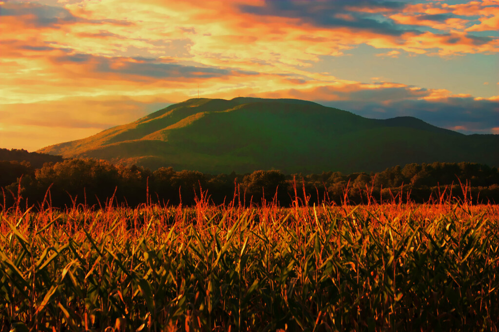
Related Photos:
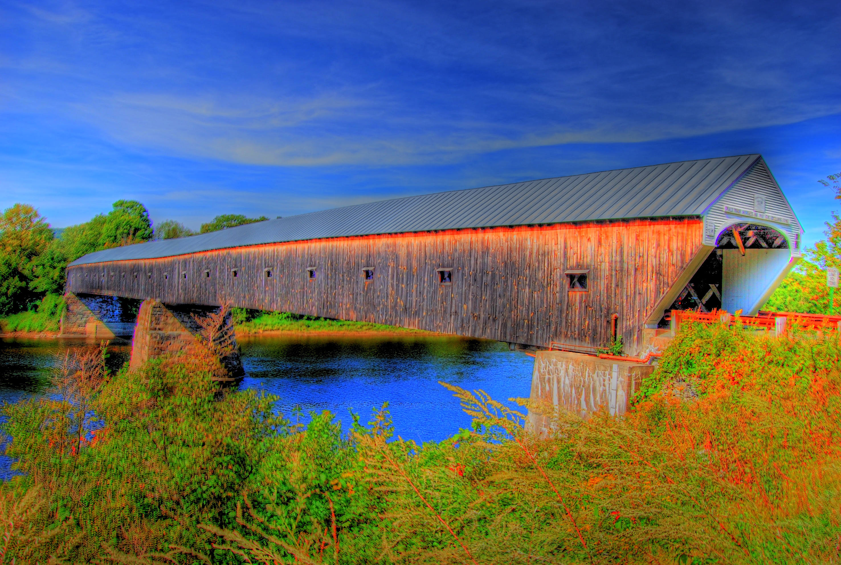
The Cornish-Windsor Covered Bridge

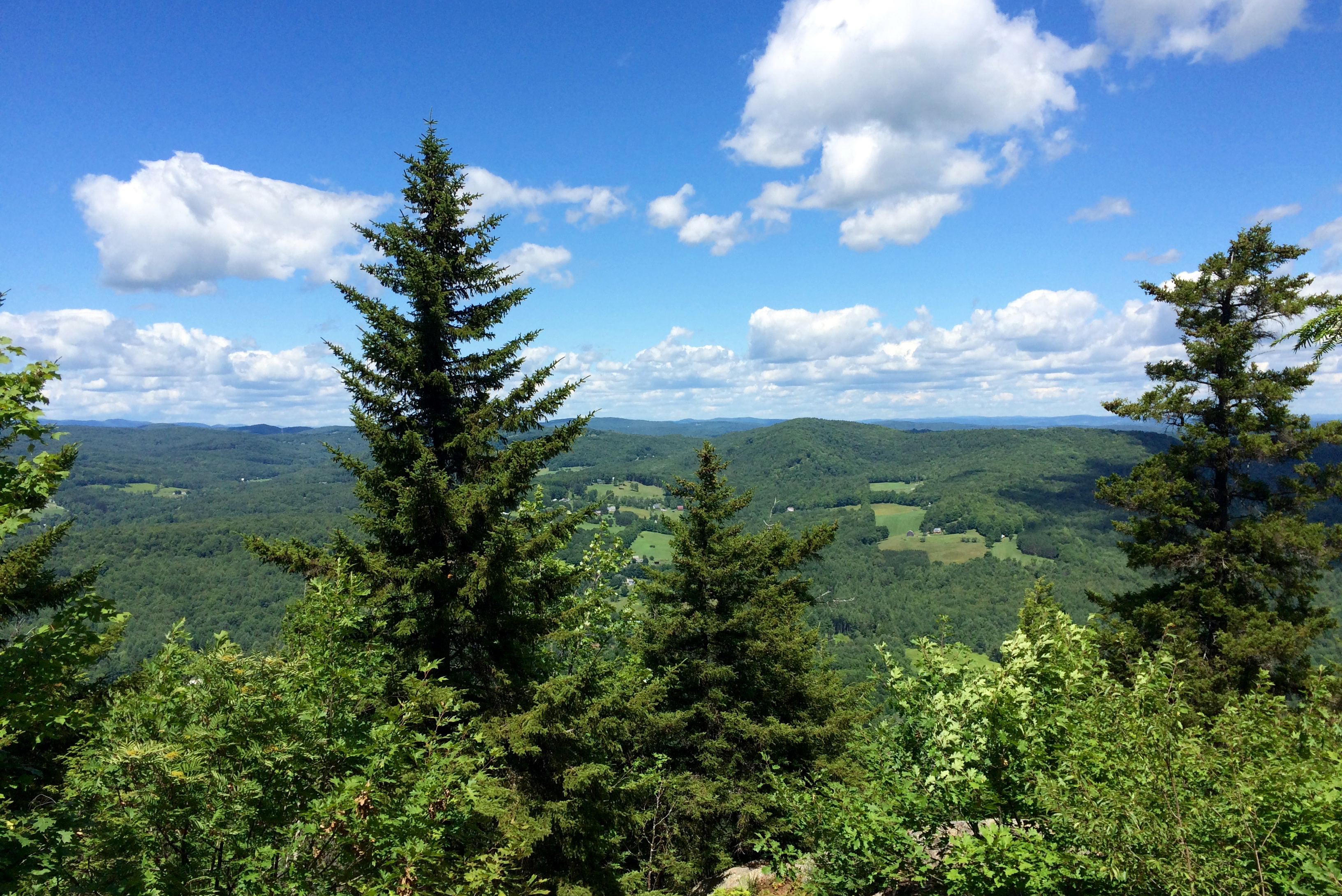
The view from Brownsville Rock, Mt...

Pilings at the abandoned Norcross Quarry...

hassy view

The Common Man Inn
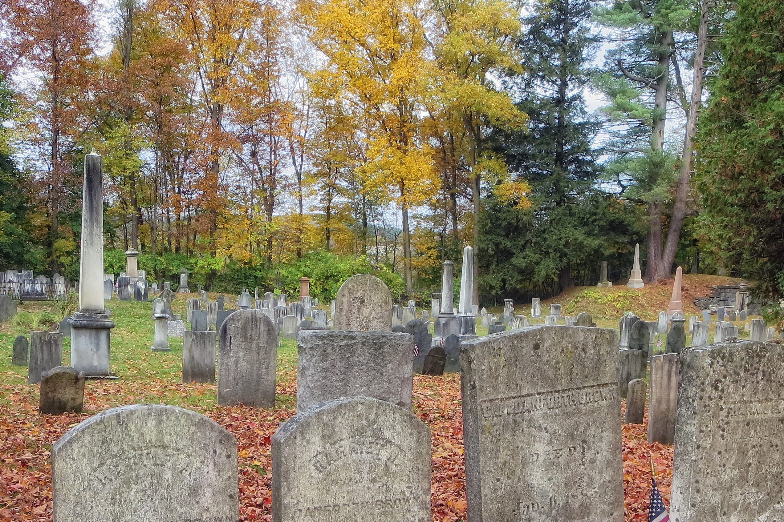
Old South Church Cemetery

Cornish Windsor Bridge I

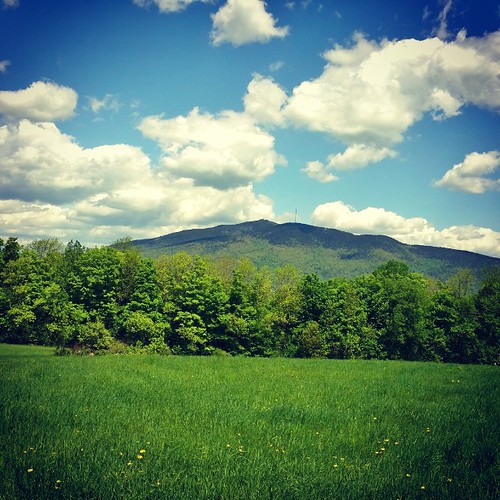
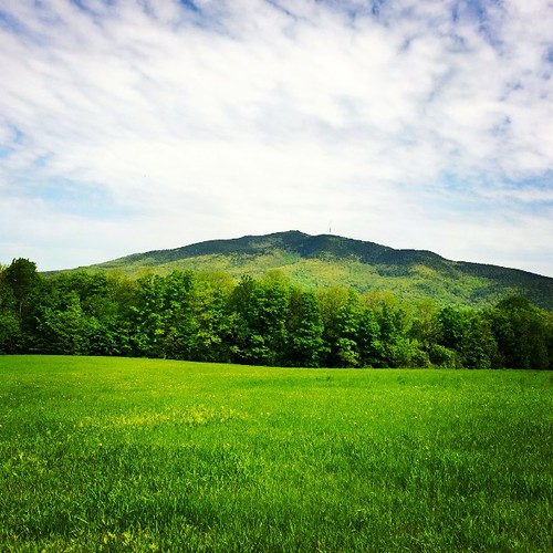
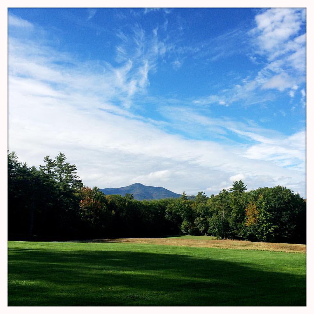
Spine of the Green Mountains

Cornish Windsor Bridge II

Mountain Rainbow

Sunapee Mill Storehouse No. 3

Cornish-Windsor Covered Bridge

Bridge Suite Morning View - Bottom Floor

View North

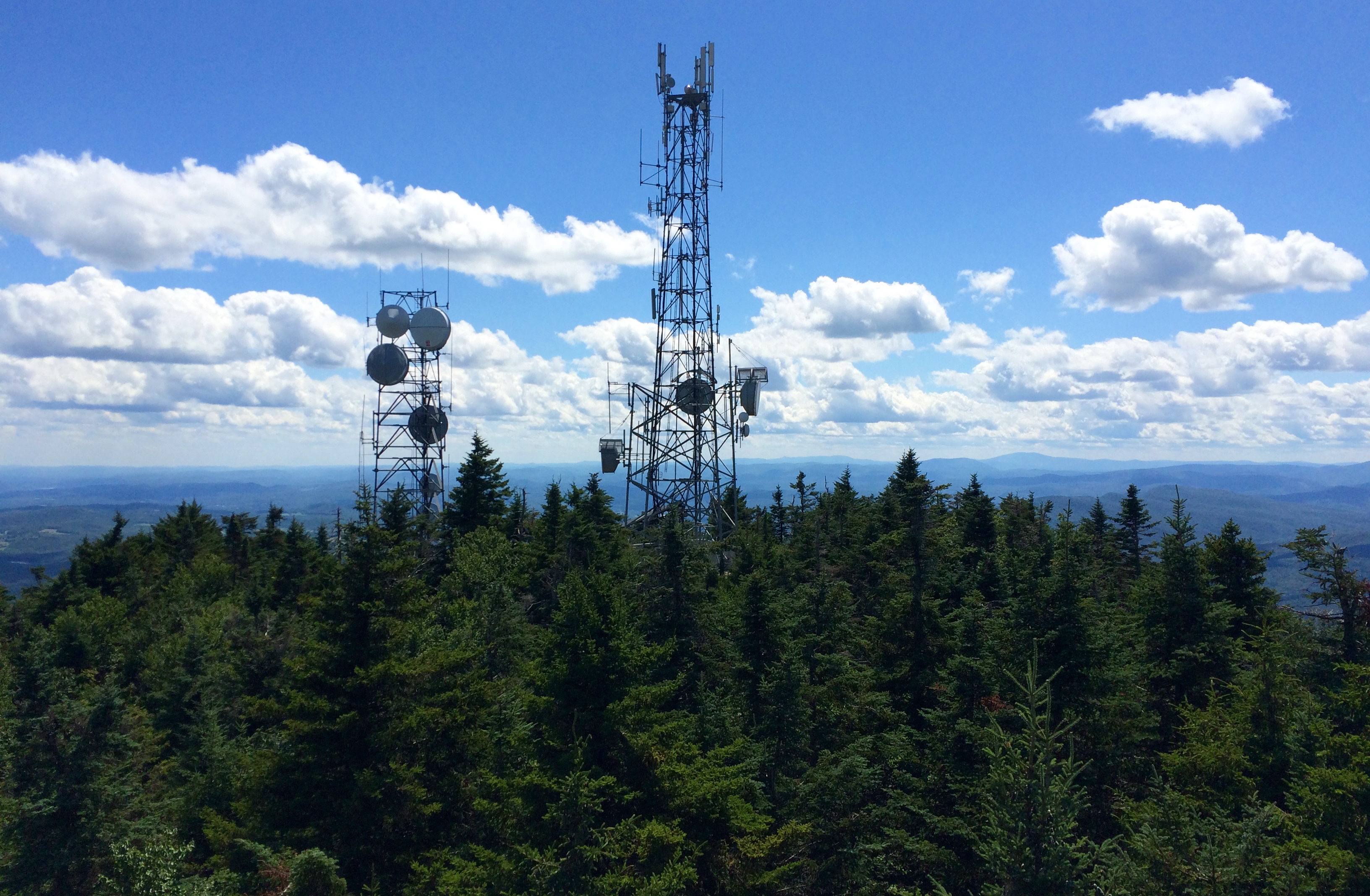
The Summit
Mount Ascutney viewed from St. Gaudens
"Quarry View"
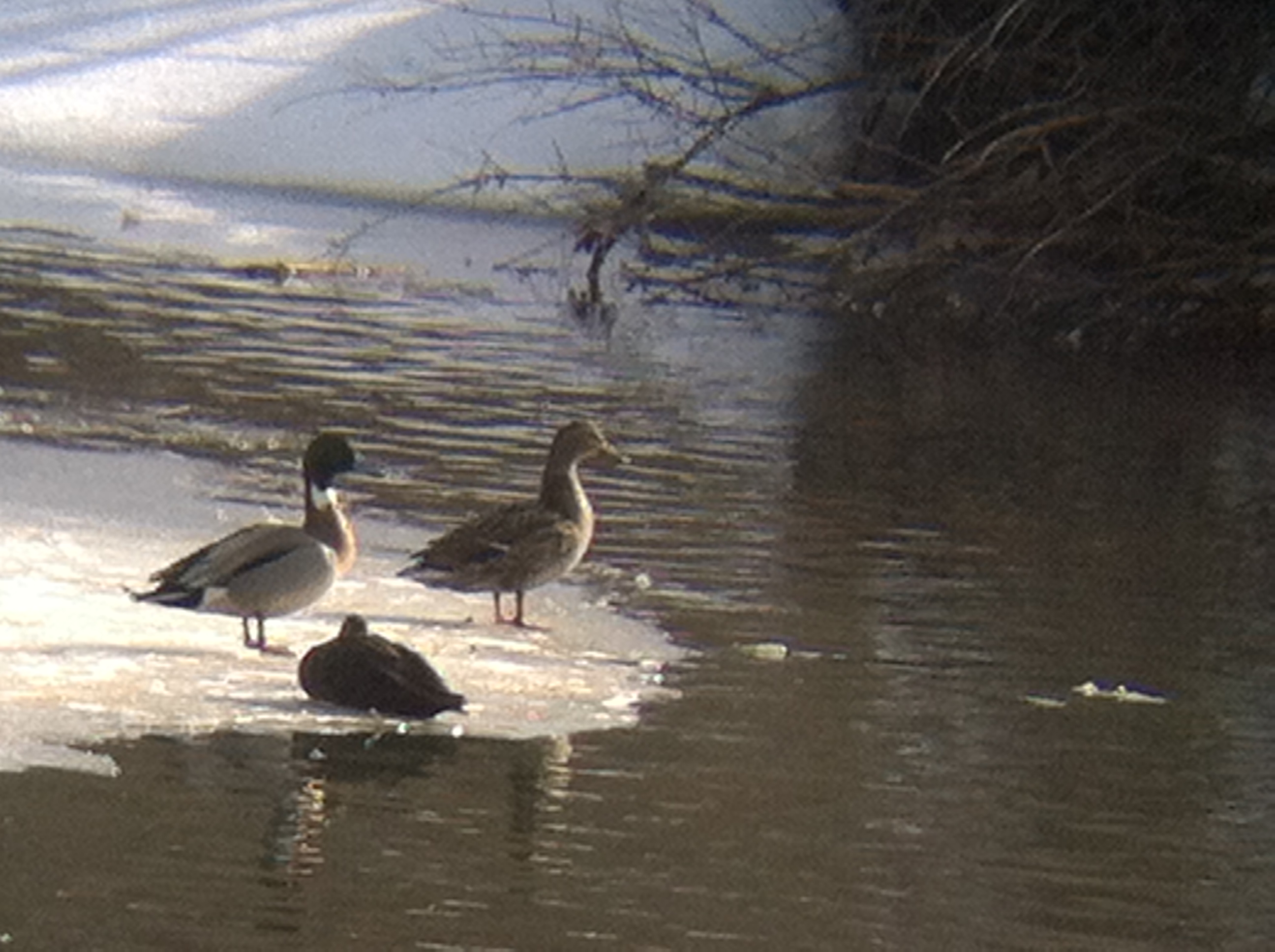
Mallard x Northern Pintail hybrid
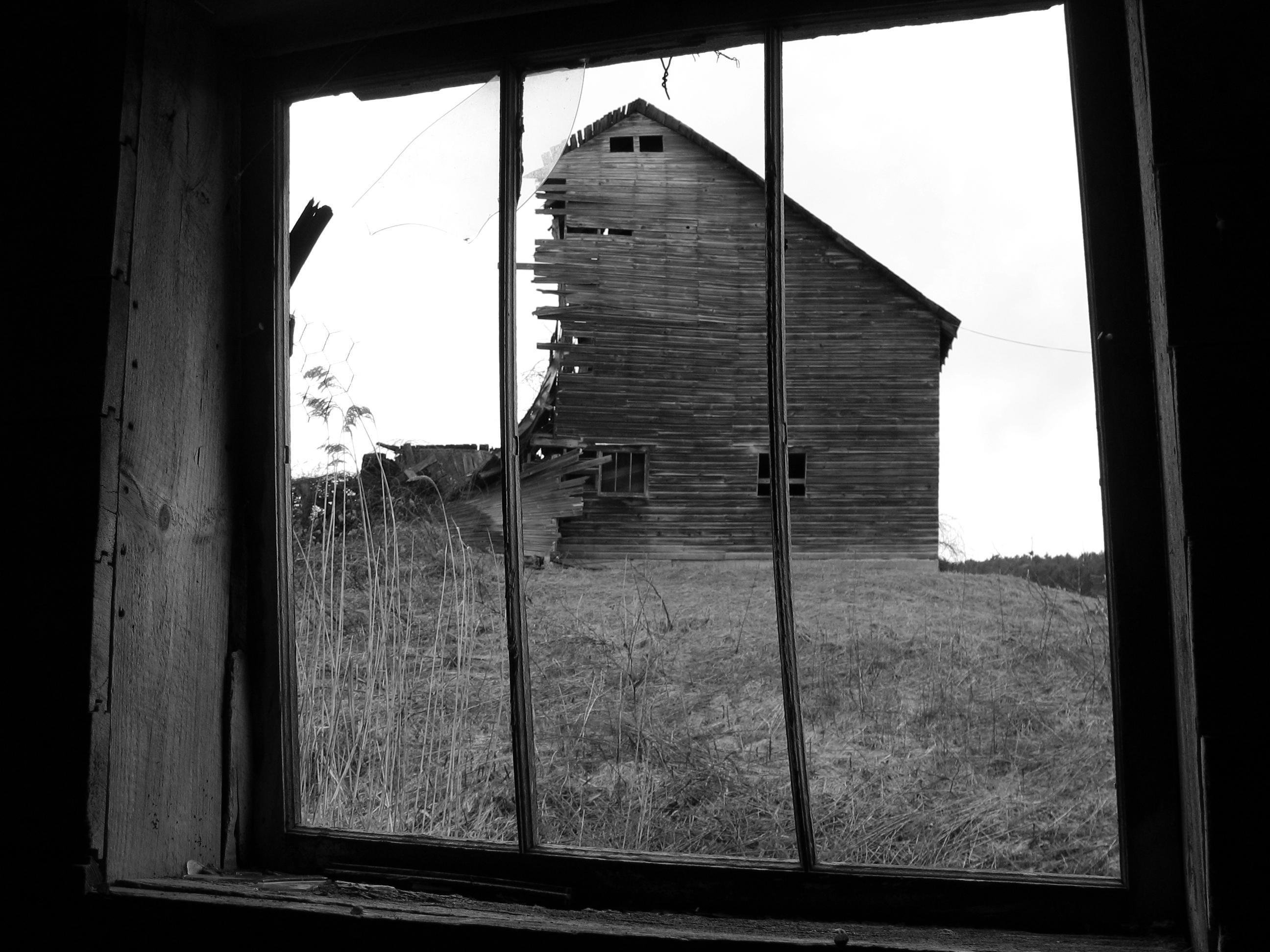
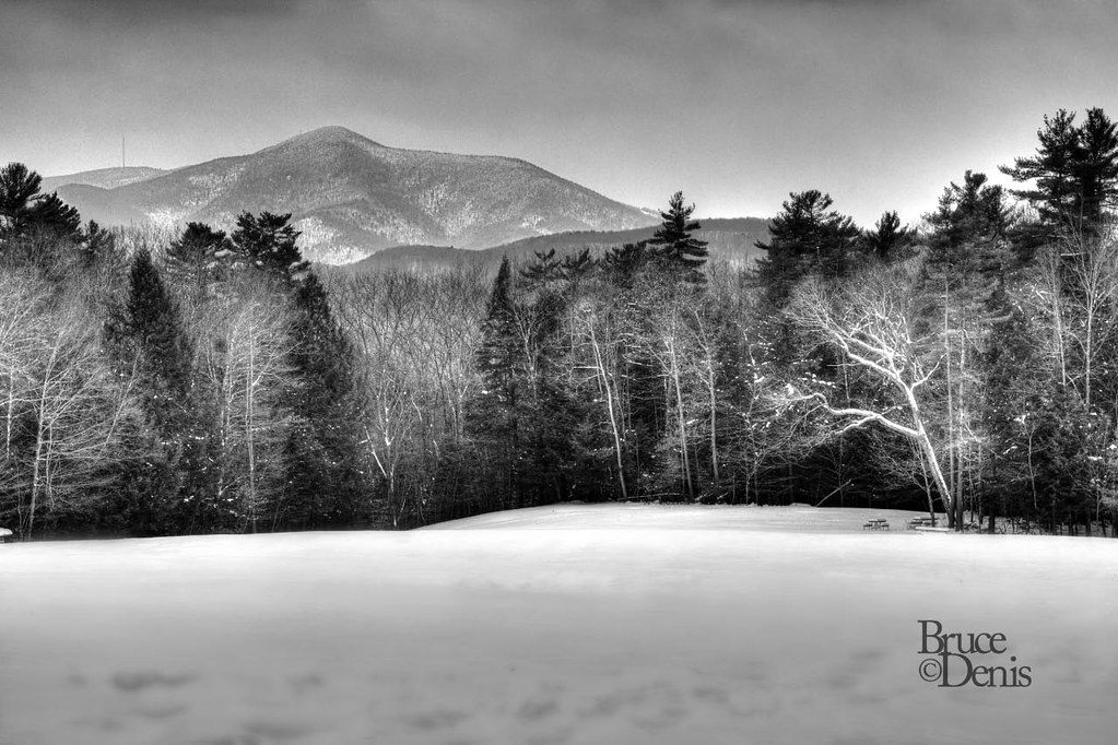
Black & White Photo of a collapsed older barn
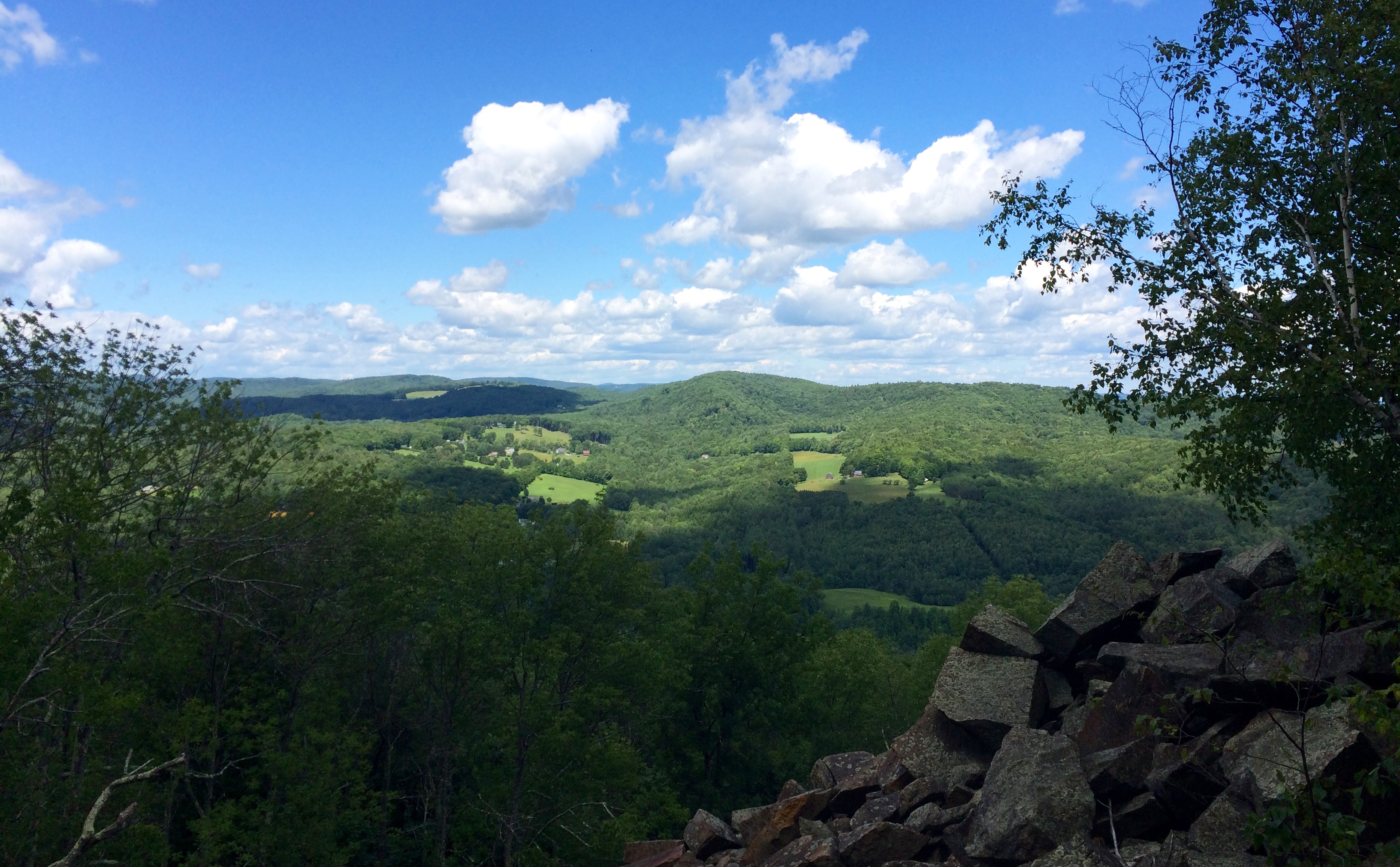
South View
View from Quarry
Blood Brook Beneath the Meriden Bridge

icy water under the covered bridge
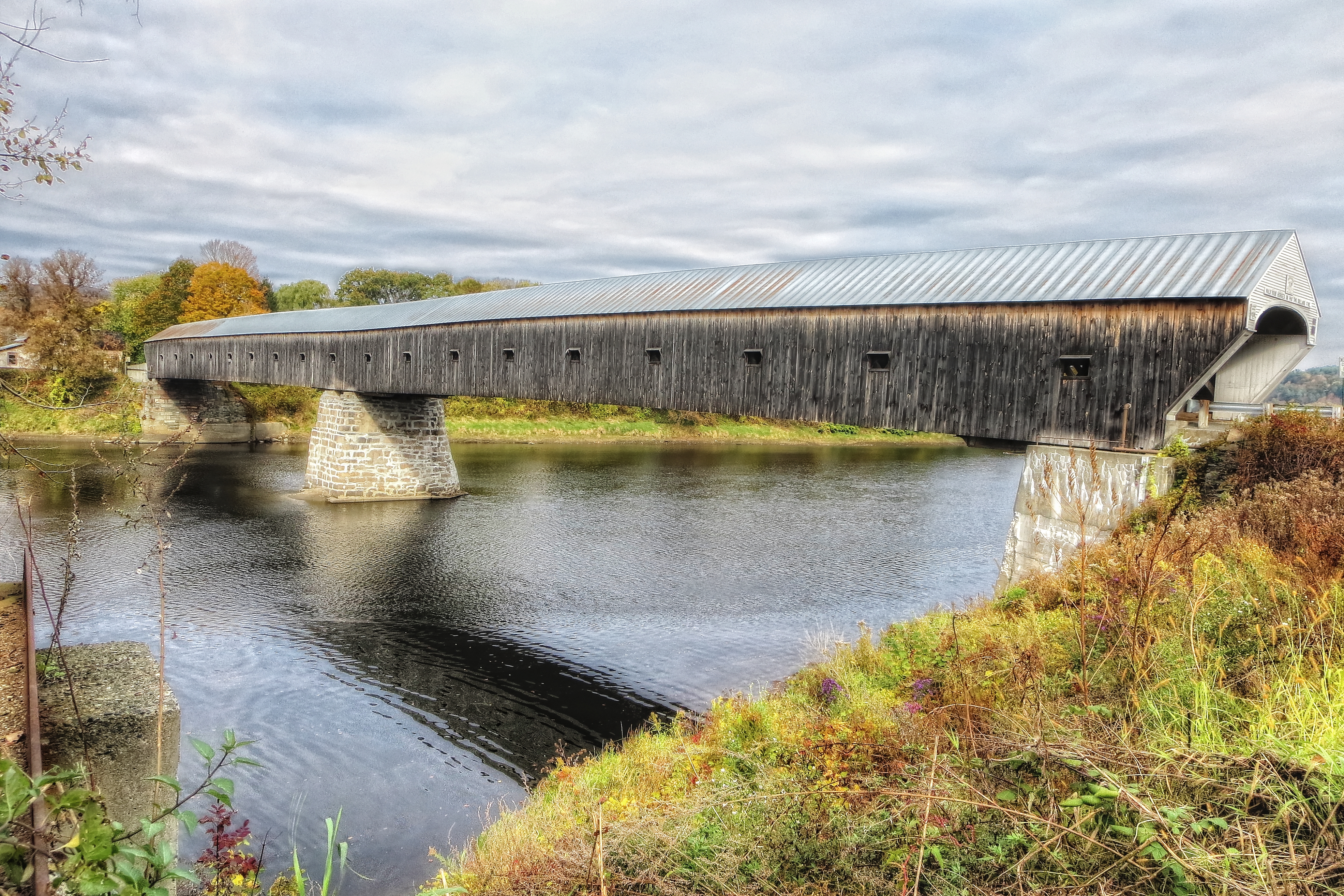
Cornish-Windsor Bridge
Another gorgeous day! #AscutneyMountain #SPRING #VT

Hello sun. I'm going to bed now.

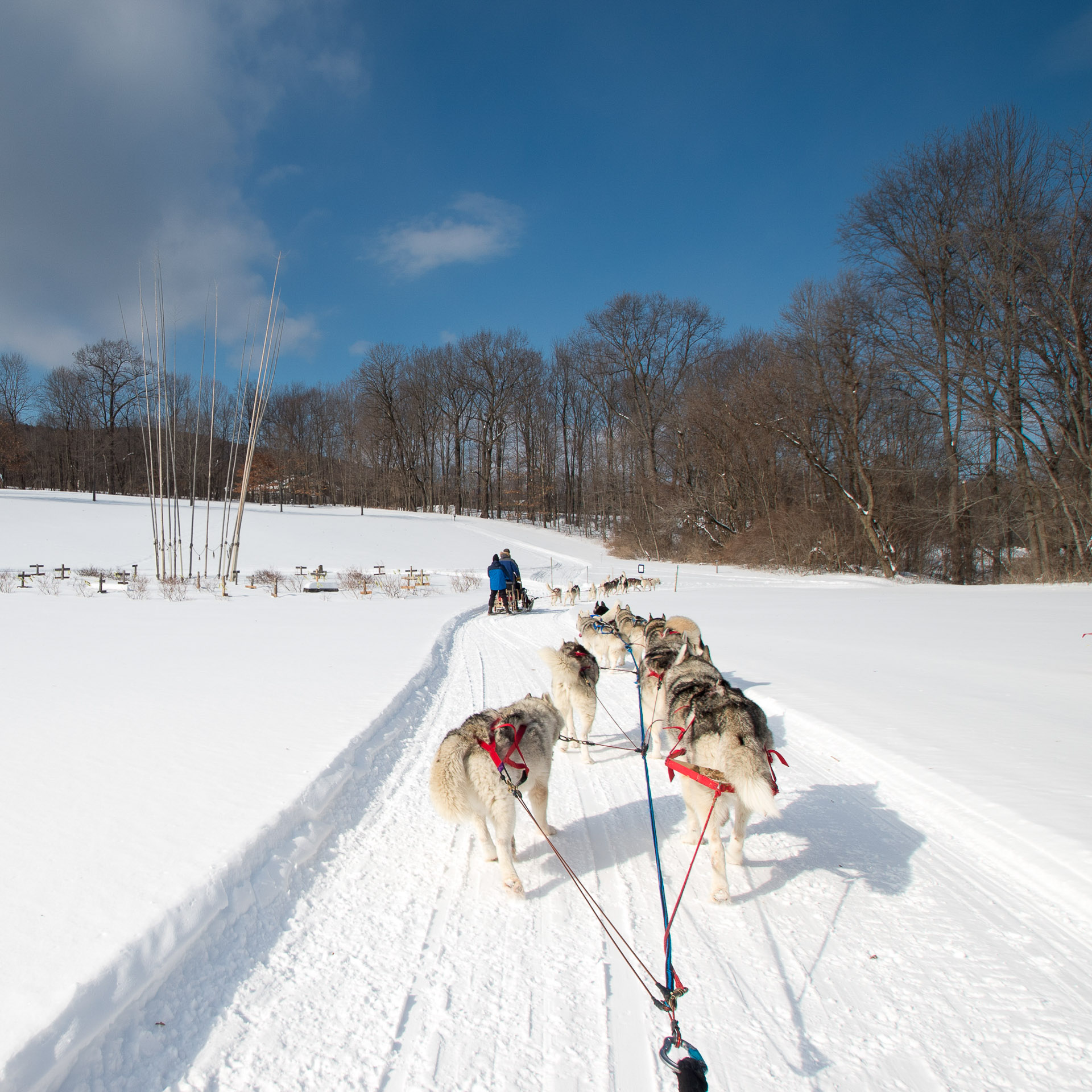
the edge of the field in front of my folk's house in winter.
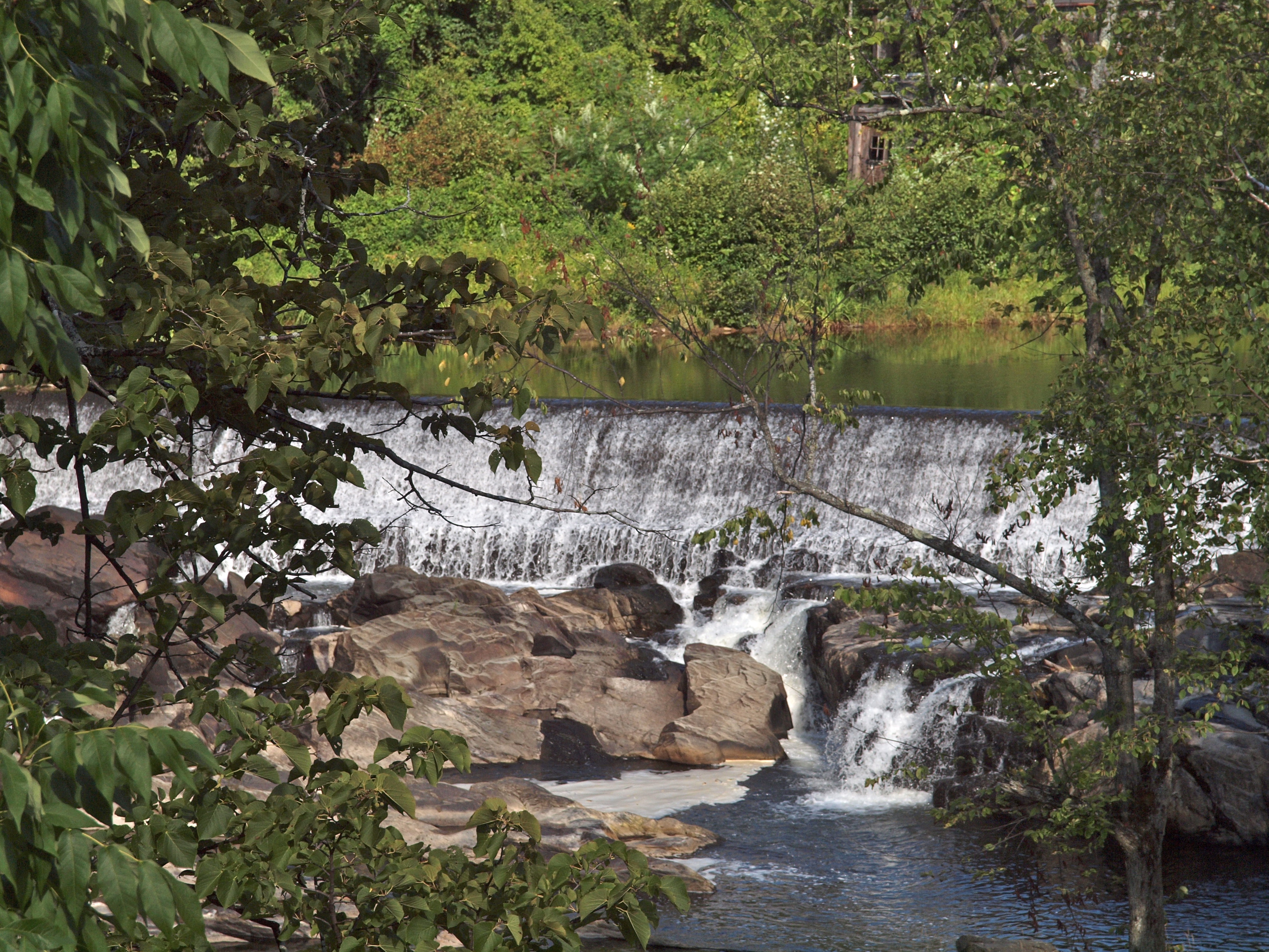
Waterfall at Monadnock Mill, Claremont, NH
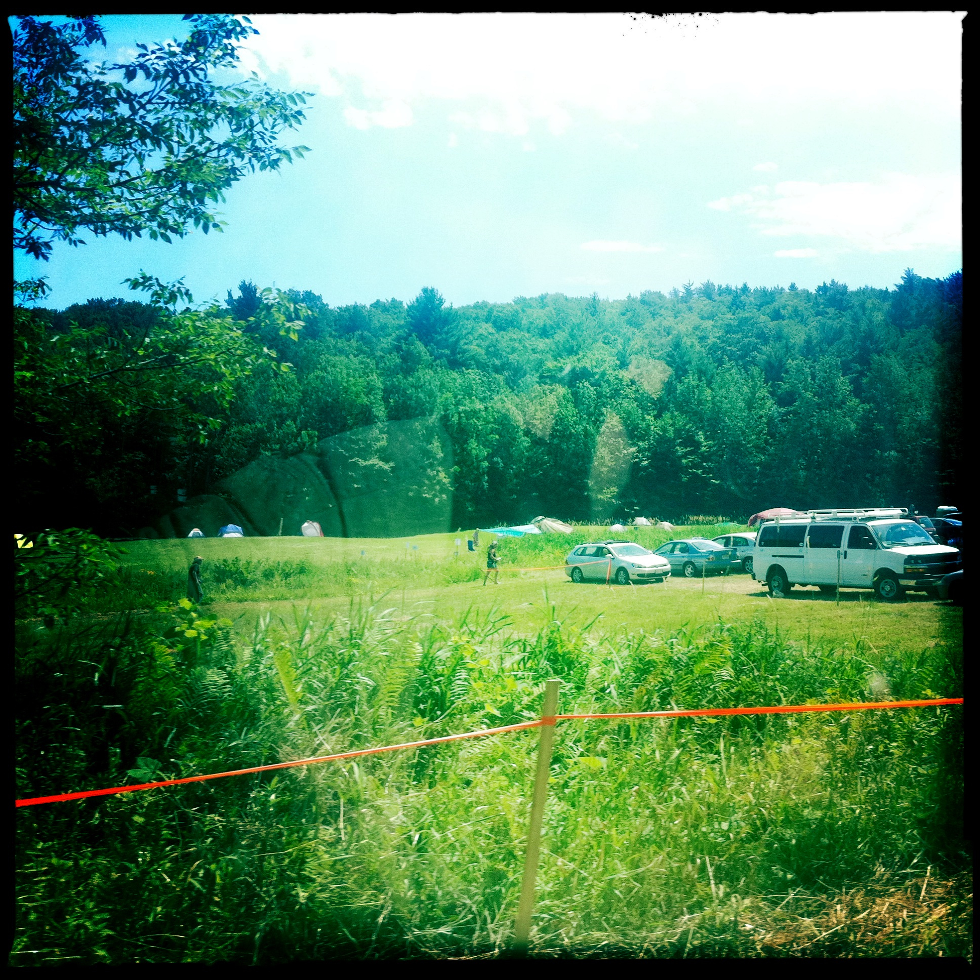
Those people camped?!
Beauty day in the neighborhood #AscutneyMountain #VT
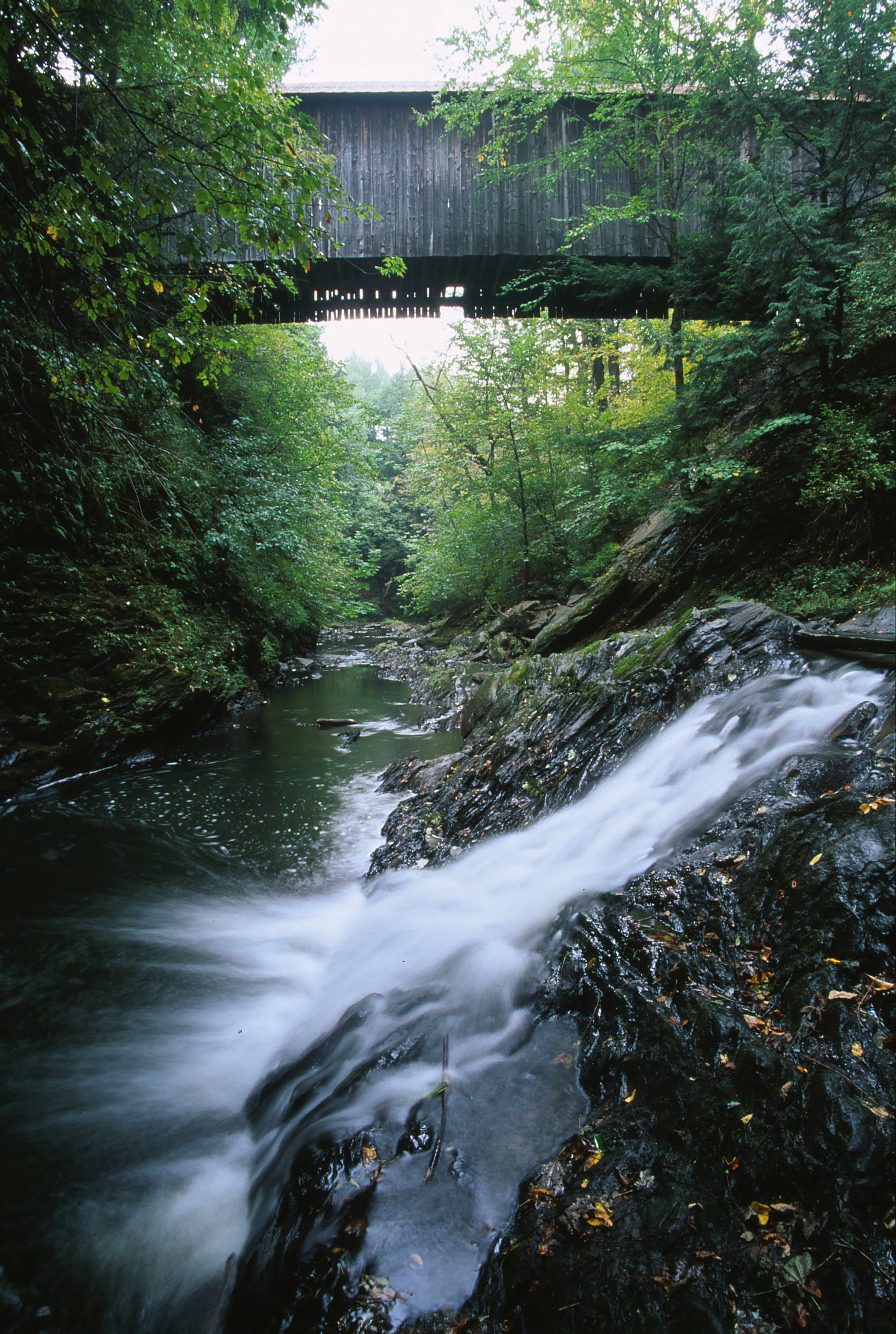
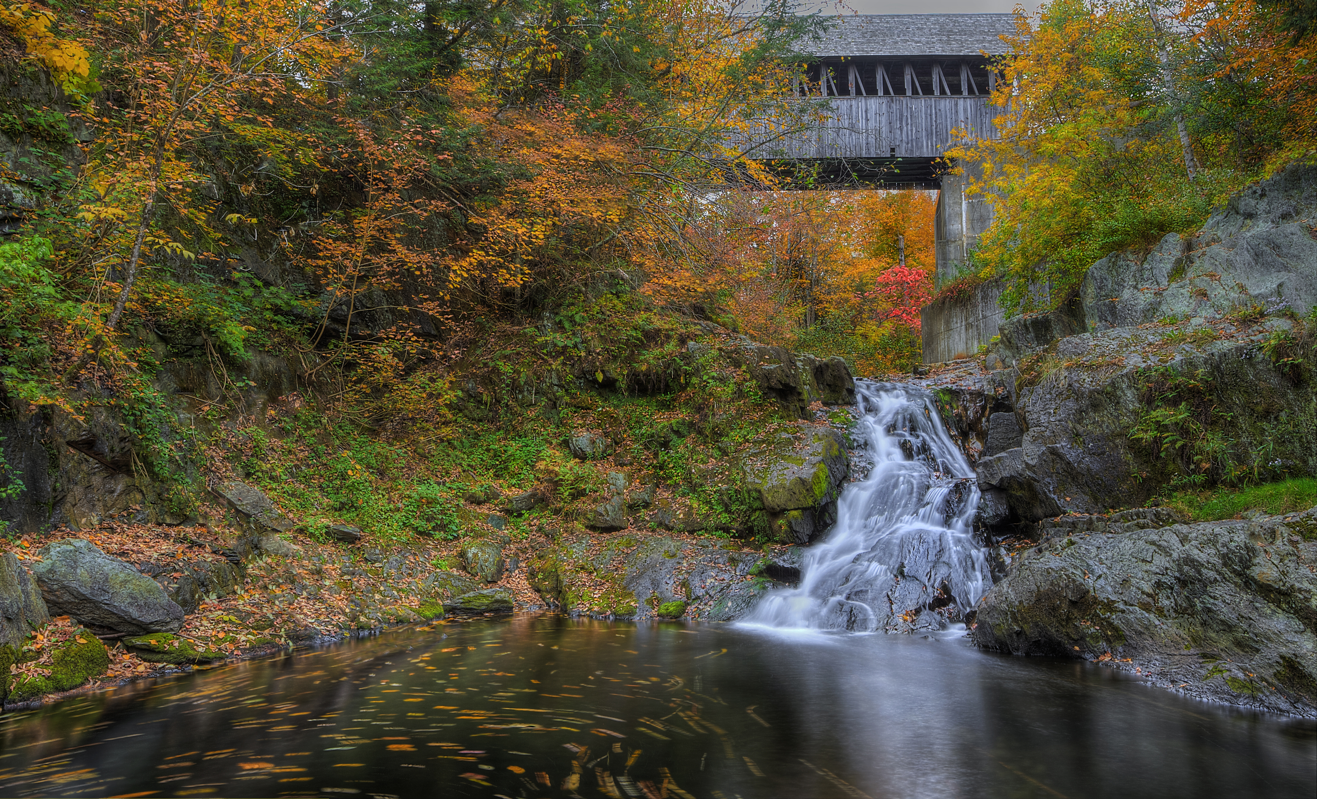
Blow-Me-Down Bridge, Brook and Falls

West Peak Portrait 1
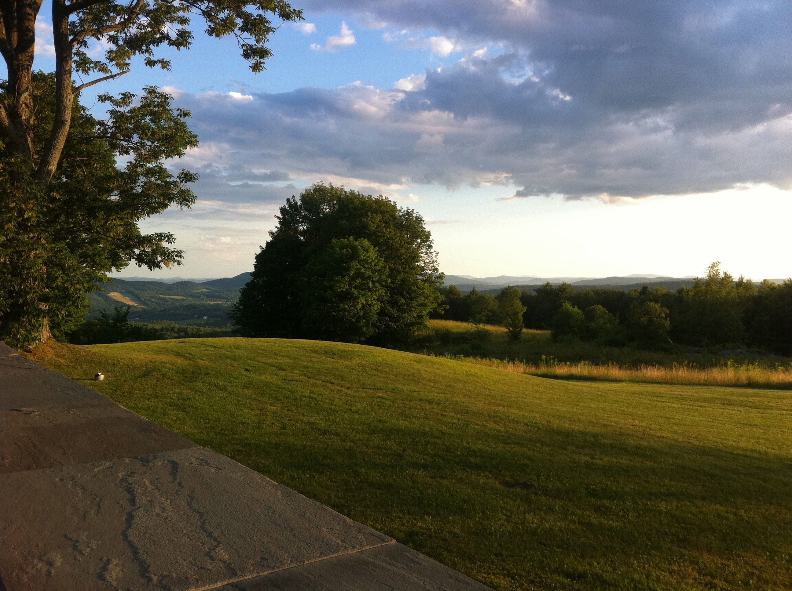
Gorgeous afternoon
Good Morning
Just in time
Meriden Covered Bridge at Kimball Mill Falls in Plainfield, NH
Parrish Was Here
Yup.
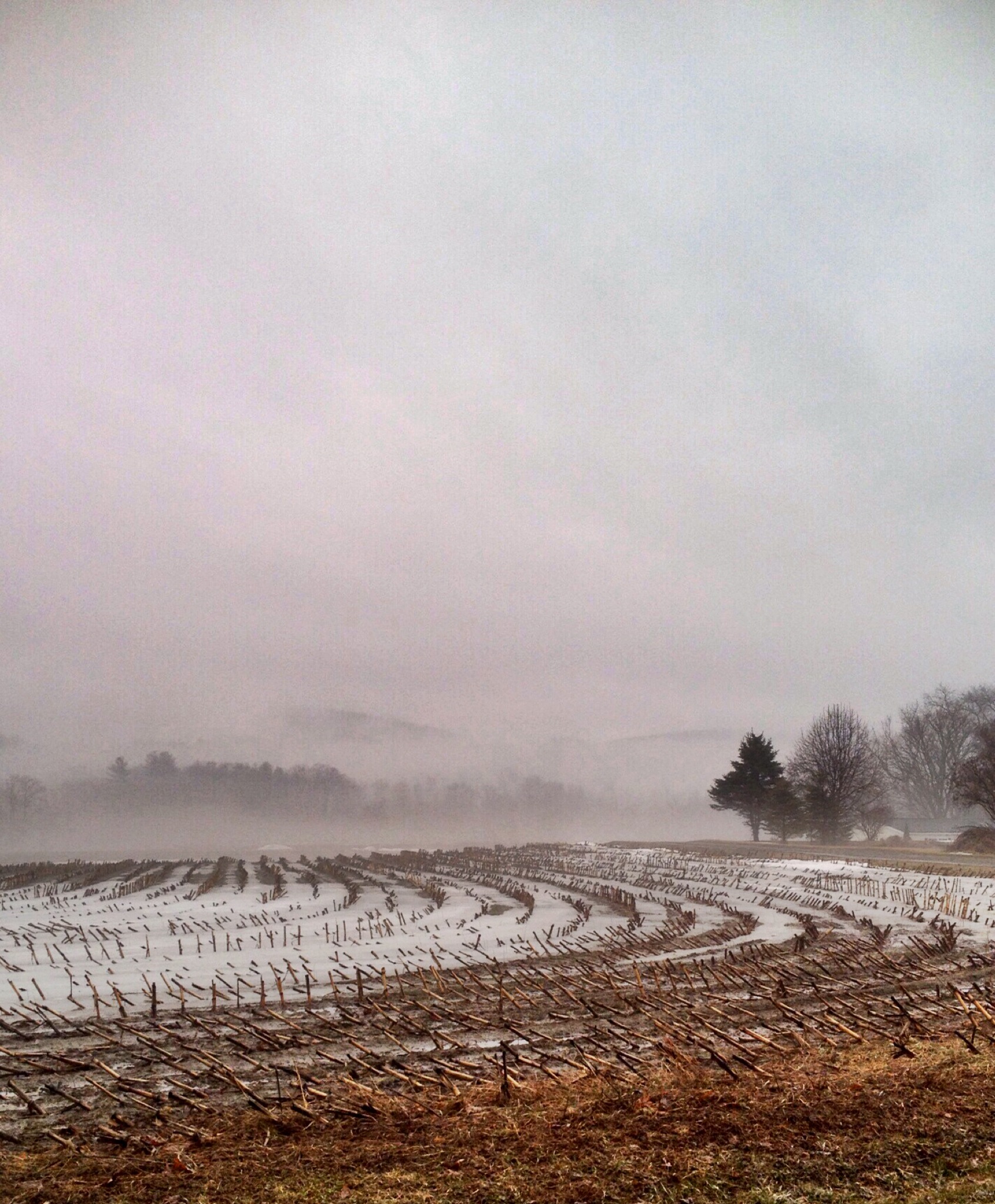
Spring rains on the field

We call this #ferngully #VT. Lovely day for a #woodswalk
IMGP0344.jpg
Topographic Map of Cornish, NH, USA
Find elevation by address:

Places in Cornish, NH, USA:
Center Rd, Cornish, NH, USA
Platt Rd, Cornish, NH, USA
NH-12A, Cornish, NH, USA
NH-, Cornish, NH, USA
Cornish Flat
West Pass Road
New Hampshire 12a
Places near Cornish, NH, USA:
New Hampshire 12a
1195 Nh-12a
The Windsor Diner
Windsor
752 Center Rd
8 Elm St
139 St Gaudens Rd
15 Dorrance St
20 Day St
NH-12A, Cornish, NH, USA
520 Dingleton Hill Rd
171 Paradise Dr
Platt Rd, Cornish, NH, USA
Center Rd, Cornish, NH, USA
97 Town House Rd
147 Dodge Rd
NH-, Cornish, NH, USA
191 Fernald Hill Rd
191 Fernald Hill Rd
163 Kenyon Rd
Recent Searches:
- Elevation of Corso Fratelli Cairoli, 35, Macerata MC, Italy
- Elevation of Tallevast Rd, Sarasota, FL, USA
- Elevation of 4th St E, Sonoma, CA, USA
- Elevation of Black Hollow Rd, Pennsdale, PA, USA
- Elevation of Oakland Ave, Williamsport, PA, USA
- Elevation of Pedrógão Grande, Portugal
- Elevation of Klee Dr, Martinsburg, WV, USA
- Elevation of Via Roma, Pieranica CR, Italy
- Elevation of Tavkvetili Mountain, Georgia
- Elevation of Hartfords Bluff Cir, Mt Pleasant, SC, USA