Elevation of Cornice Peak, Central Coast A, BC V0T, Canada
Location: Canada > British Columbia > Central Coast > Central Coast A >
Longitude: -127.21916
Latitude: 52.9661111
Elevation: 2080m / 6824feet
Barometric Pressure: 79KPa
Elevation Map:
Satellite Map:
Related Photos:
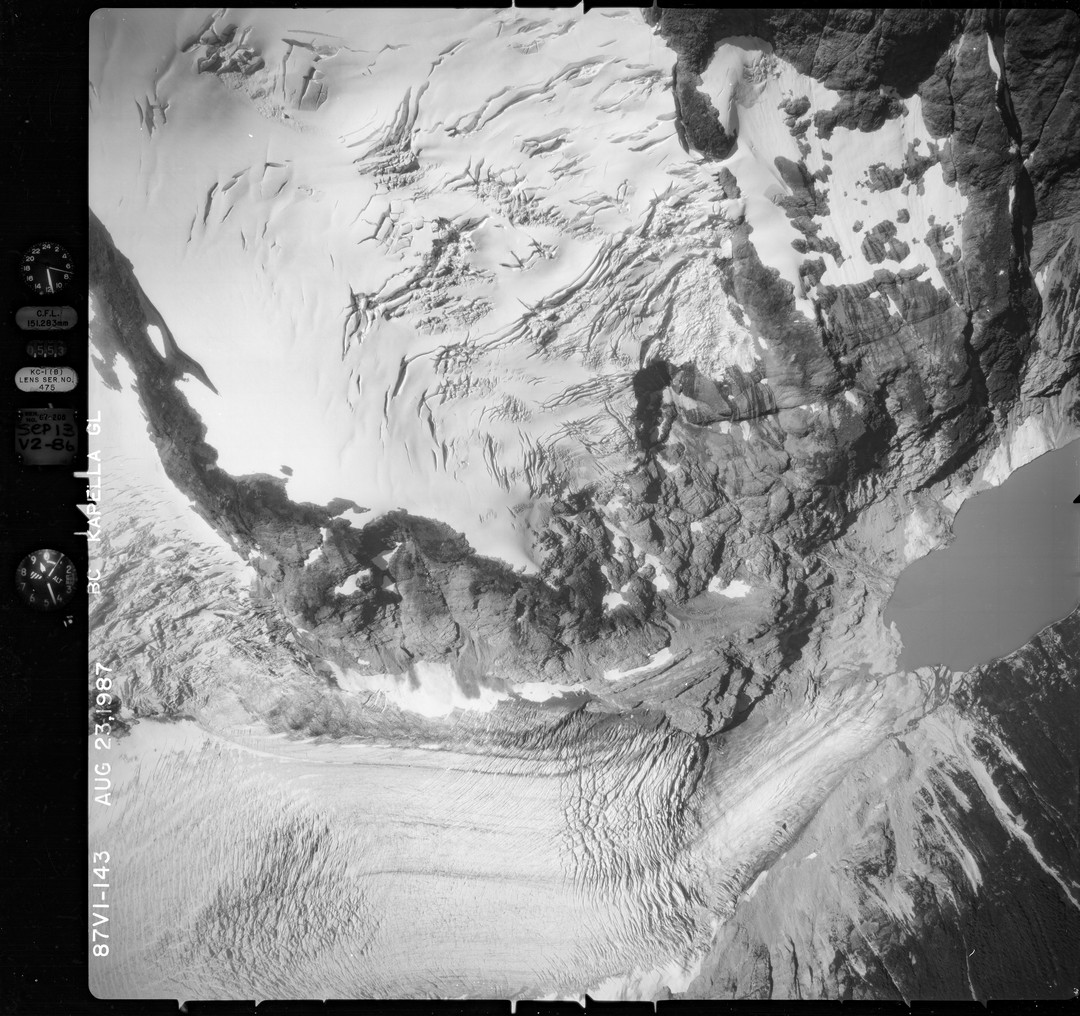
NAGAP_87V1_143_TN
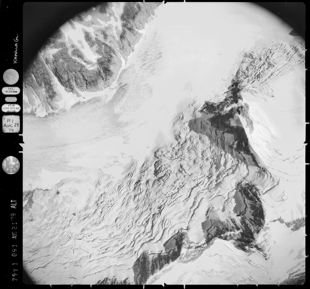
NAGAP_79V1_091_TN
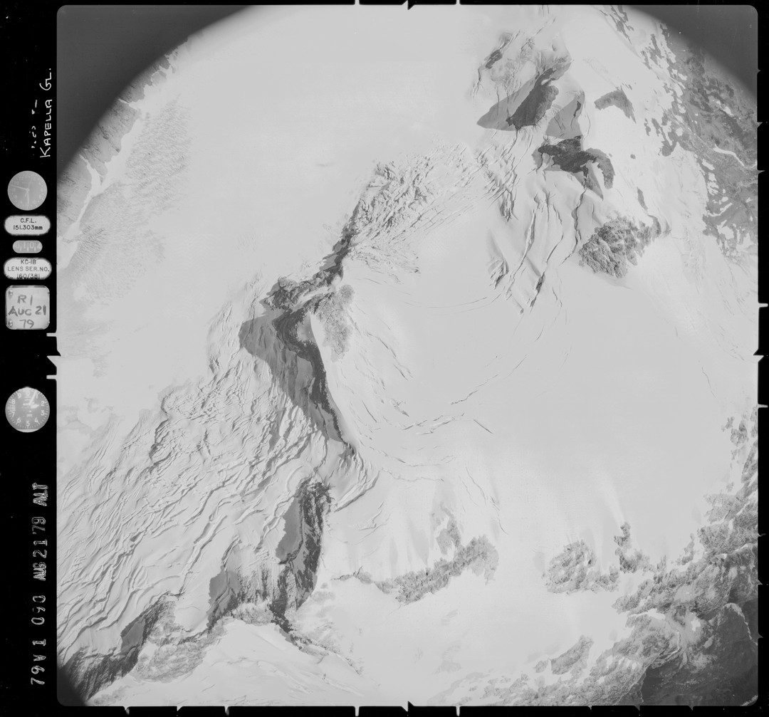
NAGAP_79V1_090_TN
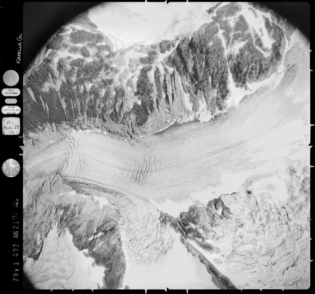
NAGAP_79V1_093_TN
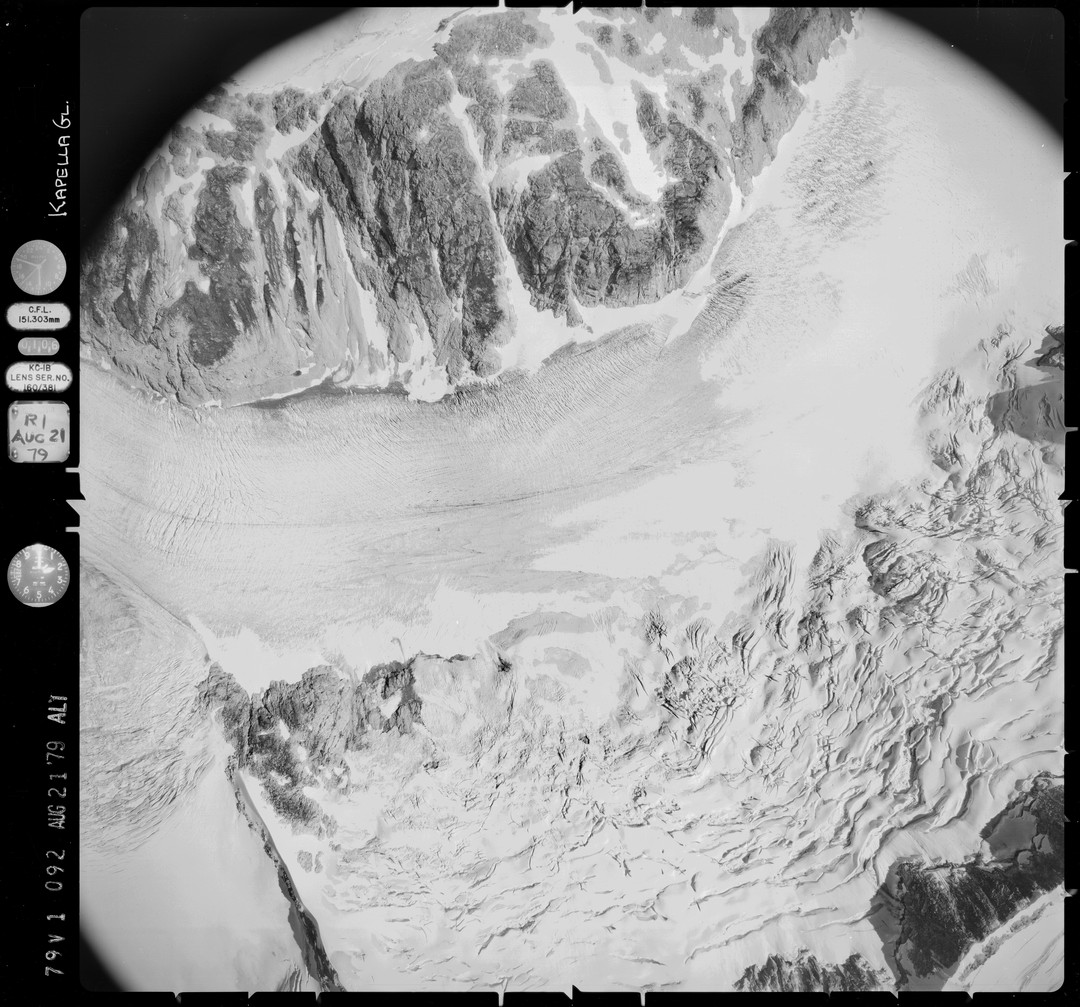
NAGAP_79V1_092_TN
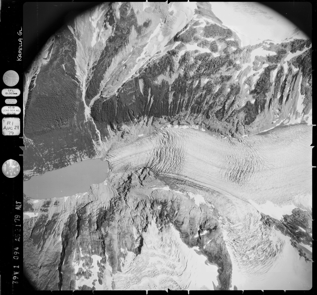
NAGAP_79V1_094_TN
Topographic Map of Cornice Peak, Central Coast A, BC V0T, Canada
Find elevation by address:

Places near Cornice Peak, Central Coast A, BC V0T, Canada:
Shark's Teeth Peaks
Asteroid Peak
Salient Mountain
Smaby Peak
Gable Mountain
Tezwa Peak
Kitlope Peak
Mount Irma
Mount Saunders
Tsaydaychuz Peak
Mount Bernhardt
Central Coast E
Kalone Peak
Bella Coola
Big Snow Mountain
Kwatna Peak
Desire Mountain
Recent Searches:
- Elevation of 6 Rue Jules Ferry, Beausoleil, France
- Elevation of Sattva Horizon, 4JC6+G9P, Vinayak Nagar, Kattigenahalli, Bengaluru, Karnataka, India
- Elevation of Great Brook Sports, Gold Star Hwy, Groton, CT, USA
- Elevation of 10 Mountain Laurels Dr, Nashua, NH, USA
- Elevation of 16 Gilboa Ln, Nashua, NH, USA
- Elevation of Laurel Rd, Townsend, TN, USA
- Elevation of 3 Nestling Wood Dr, Long Valley, NJ, USA
- Elevation of Ilungu, Tanzania
- Elevation of Yellow Springs Road, Yellow Springs Rd, Chester Springs, PA, USA
- Elevation of Rēzekne Municipality, Latvia